↓
 
Ashland Hiking Group 
 
  • About Us
  • Posted Hikes
    • Recent
    • Monday
    • Wednesday
    • Friday
    • Friday Flower
  • Hike Schedules
    • Monday
      • Current
      • Previous
    • Wednesday
      • Current
      • Previous
    • Friday
      • Current
      • Previous
    • Friday Flower
      • Current
      • Previous
  • Locations
    • Lakes
      • Applegate Lake
      • Azalea Lake
      • Castle Lake
      • Crater Lake
      • Duck Lakes
      • East Boulder Lake
      • Emigrant Lake
      • Fish Lake
      • Kangaroo Lake
      • Lost Creek Lake
      • Mountain Lakes
      • Puck Lakes
      • Seven Lakes
      • Sky Lakes
      • Smith Lake
      • Squaw Lakes
      • Taylor Lake
    • PCT
      • Brown Mountain
      • Castle Crags
      • Cement Bluff
      • Etna Summit
      • Greensprings Area
      • Gumboot Boulder
      • Hyatt/Greensprings Summit
      • Hyatt Reservoir
      • Mt Ashland Area
      • Pilot Rock Area
      • Porcupine Lake
      • Red Buttes
    • Rivers & Streams
      • Elk Creek
      • Frog Pond
      • Kelsey Creek
      • Lower Rogue
      • Mill Creek Falls
      • Sacramento River
      • Squaw Valley Creek
      • Upper Rogue
      • Taylor Creek
    • Snow Shoes
      • Buck Prairie
      • Crater Lake
      • Deadwood
      • Great Meadow
      • Grouse Gap
      • Hyatt Lake
      • Moon Prairie
      • Mt Ashland
      • Mt Shasta
      • Pederson
      • Pilot Rock
      • Summit Sno-Park
    • Mountains & Summits
      • A>L
        • Abbot Butte
        • Anderson Butte
        • Arch Rock
        • Baldy Peak
        • Big Red Mountain
        • Bolt Mountain
        • Castle Crags
        • Collings Mountain
        • Frank Hill Road
        • Grayback Mountain
        • Grizzly Peak
        • Kerby Peak
      • M>Z
        • Mount Ashland
        • Mount Bailey
        • Mount Eddy
        • Mount Elijah
        • Mount Shasta
        • Pompadour Bluff
        • Roxy Ann
        • Squaw Peak
        • Stein Butte
        • Stukel Mountain
        • Table Rocks
        • Union Peak
        • Wagner Butte
    • Woods
      • Ashland City
      • Ashland Watershed
      • Bear Creek Greenway
      • Cathedral Hills
      • Denman Wildlife Refuge
      • East Applegate Ridge
      • Enchanted Forest
      • Greenhorn Park
      • Greensprings Area
      • High Lakes Trail
      • Horseshoe Ranch
      • Jack Ash
      • Jacksonville
      • Layton Mine Ditch
      • Pacifica
      • Sterling Mine Ditch
      • Steves 40 Acres
    • Miscellaneous
  • Images
    • Resize @ 1000H ,1000V & med before uploading
  • Log In

Post navigation

← Older posts
Newer posts →

Bandersnatch, Gryphon & Snark

Ashland Hiking Group Posted on March 22, 2024 by Randy BryanApril 23, 2024

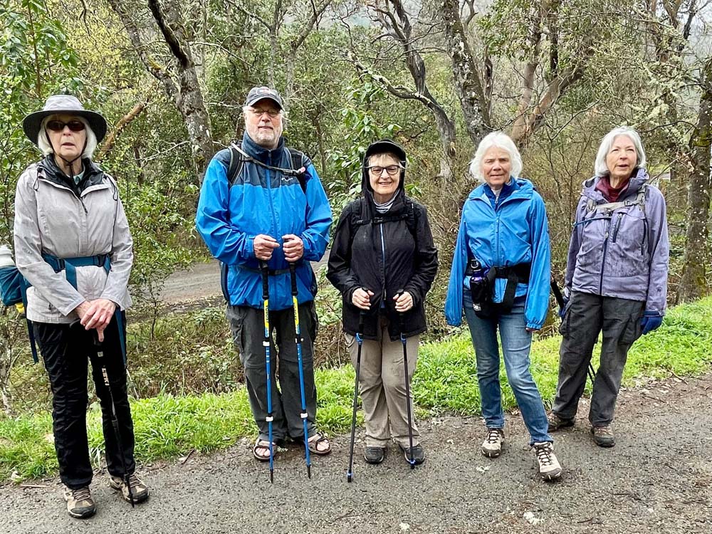
After some days of warm, sunny weather, a group of 8 hikers ventured into the Ashland watershed ready for a cooler day with the ‘promise’ of rain, which arrived as we were completing our planned hike.

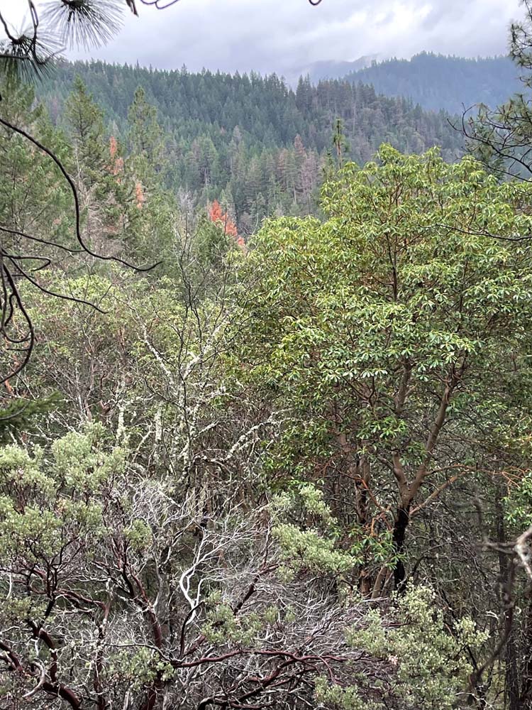
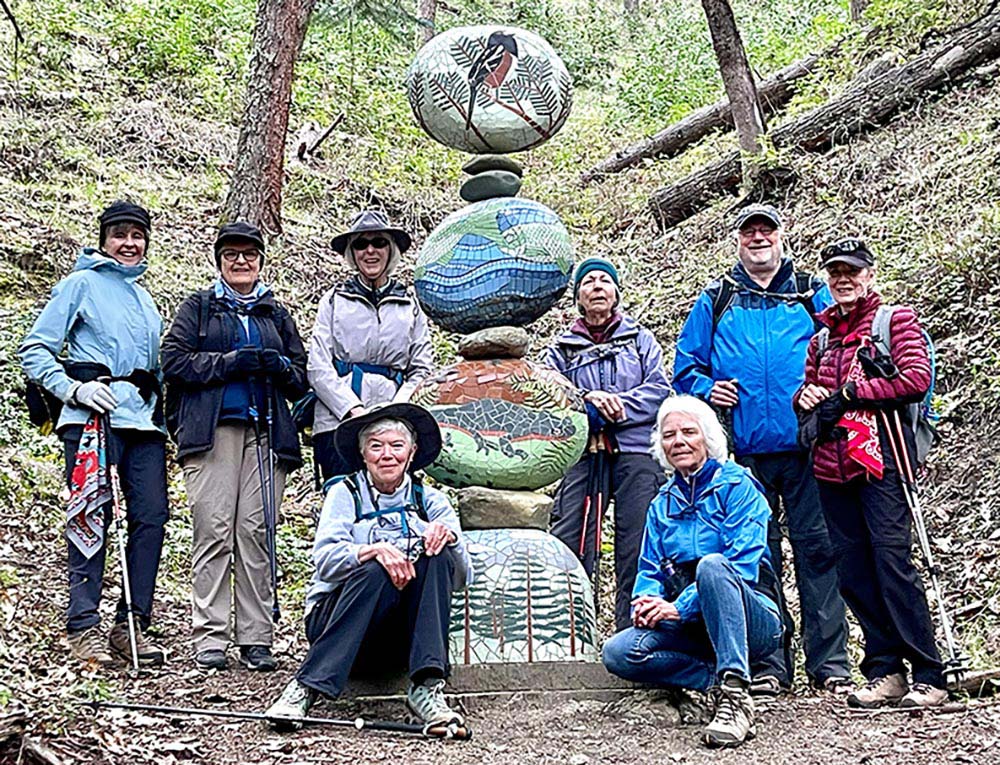
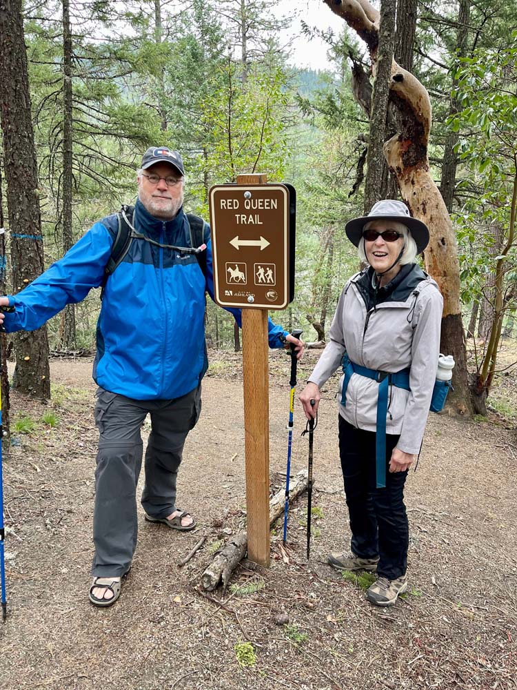
As always, we recognized the blessings of living in a city surrounded with such beautiful natural habitats. We climbed up Bandersnatch switchbacks from its trailhead, past the sculptures, and to the picnic table and vista, pausing for a break. Then we followed the trail down across a bike trail and up more switchbacks to lower Red Queen.

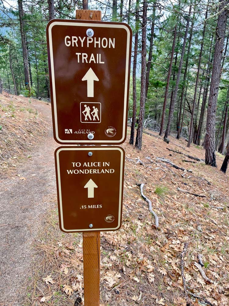
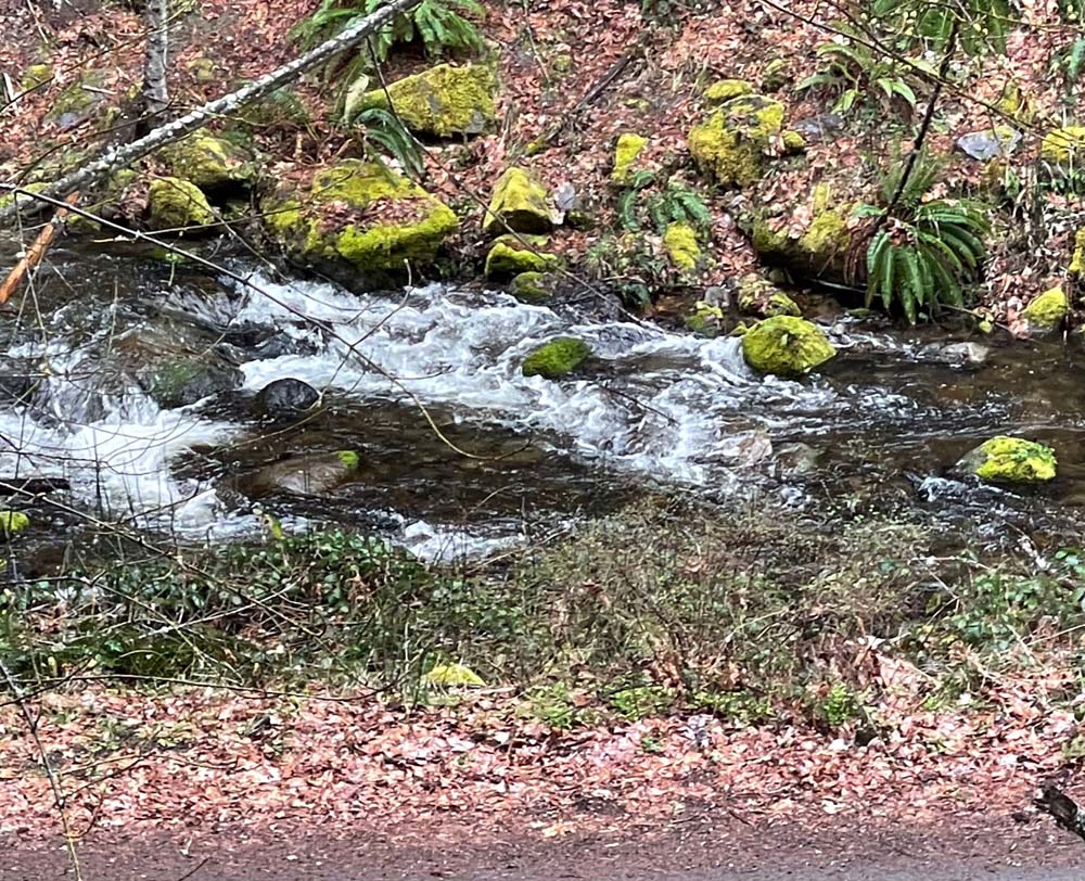
Two of us took the Snark trail down and around along Ashland Creek and finally past the water treatment area, returning to Bandersnatch for a short distance to the cars. The others of us continued from the Red Queen intersection further up Bandersnatch to the intersection with Gryphon trail, hiking up and back down Gryphon loop before getting on Red Queen, and then the Snark trail to return down and around alongside the creek to Bandersnatch and parking.

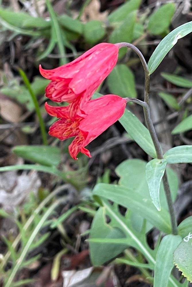
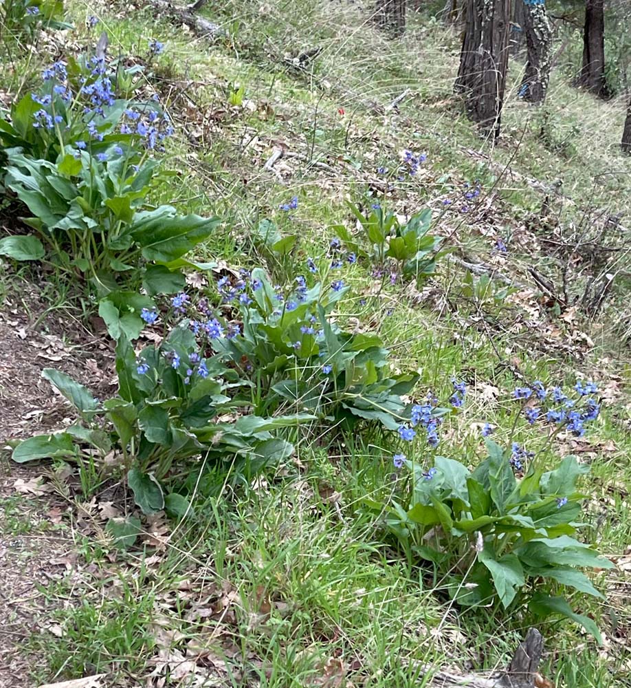
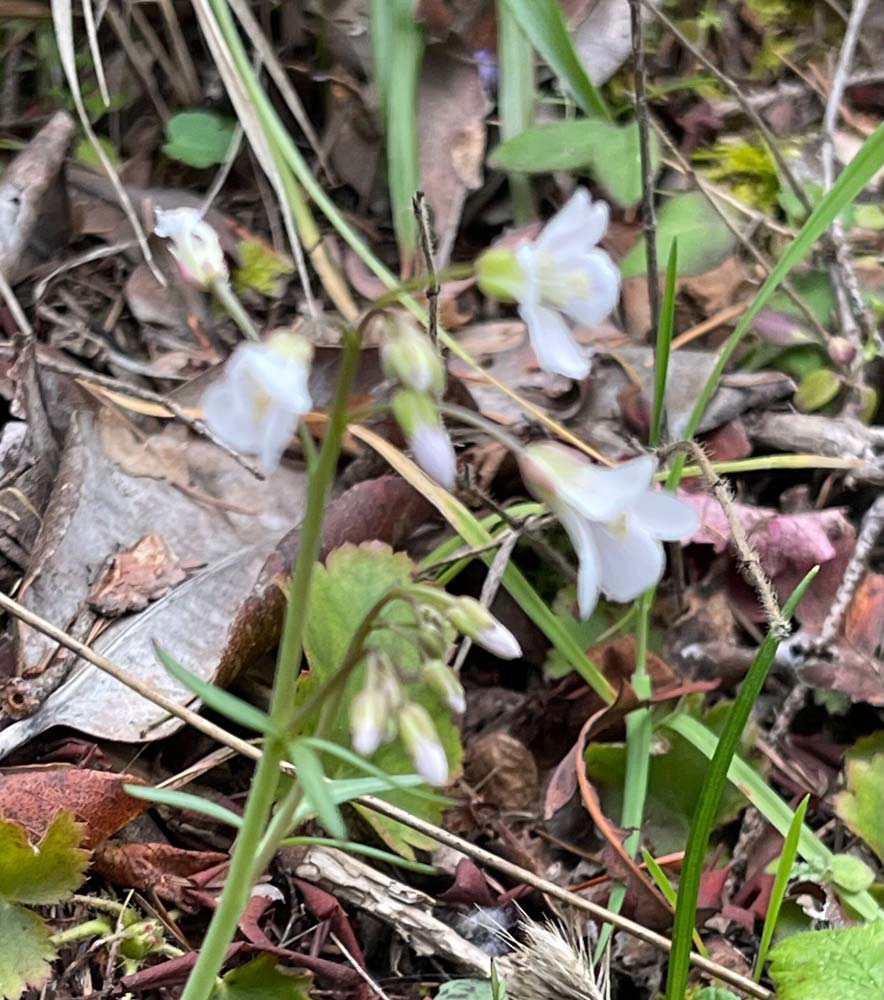
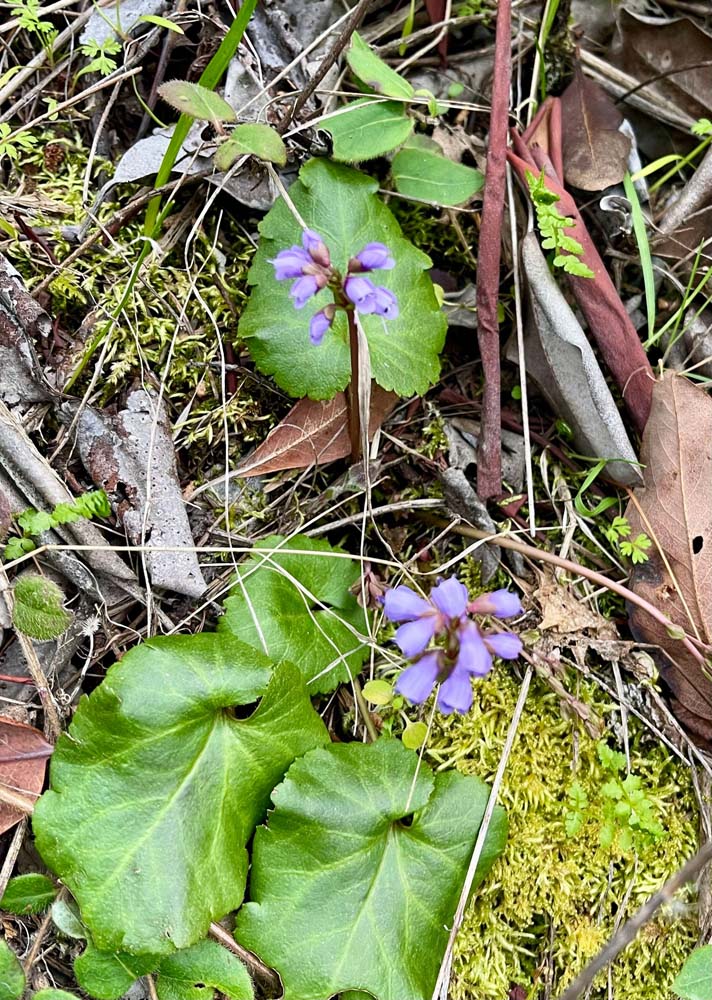
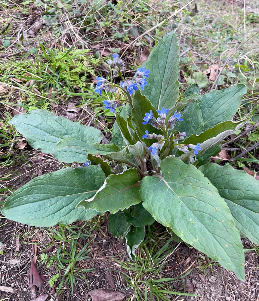
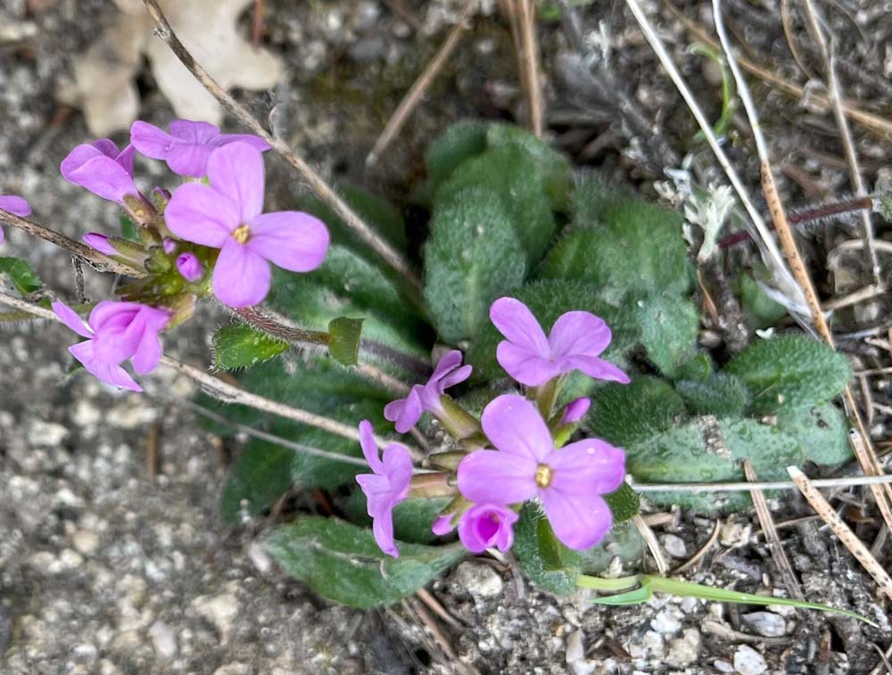
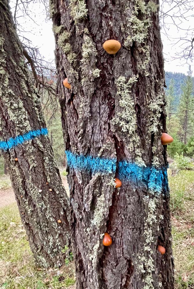
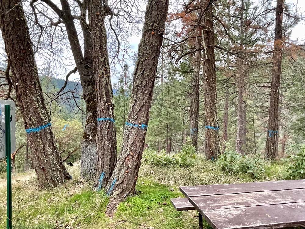
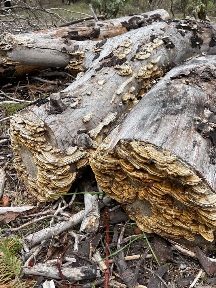
We were thrilled to see early wildflowers, including hounds’ tongue, snow queen, scarlet fritillary, milkmaids/toothwort and probably a type of rockcress. Some trees had polypore fungus embedded in the bark. This fungus decomposes rotting sapwood of conifers. Sadly, however, we saw many Douglas fir that have suffered due to drought and beetles.

We encountered drizzles off and on. The rain held off until we were completing our hike. It was a fun morning, close to town. Elevation gain 640’ and 3 miles without Gryphon; 1,000’ and 4.5 miles with Gryphon.

Hike Leader: Elisabeth

Photos By: Kay

Posted in Ashland Watershed, Friday, Woods

Post navigation

← Older posts
Newer posts →
↑