↓
 
Ashland Hiking Group 
 
  • About Us
  • Posted Hikes
    • Recent
    • Monday
    • Wednesday
    • Friday
    • Friday Flower
  • Hike Schedules
    • Monday
      • Current
      • Previous
    • Wednesday
      • Current
      • Previous
    • Friday
      • Current
      • Previous
    • Friday Flower
      • Current
      • Previous
  • Locations
    • Lakes
      • Applegate Lake
      • Azalea Lake
      • Castle Lake
      • Crater Lake
      • Duck Lakes
      • East Boulder Lake
      • Emigrant Lake
      • Fish Lake
      • Kangaroo Lake
      • Lost Creek Lake
      • Mountain Lakes
      • Puck Lakes
      • Seven Lakes
      • Sky Lakes
      • Smith Lake
      • Squaw Lakes
      • Taylor Lake
    • PCT
      • Brown Mountain
      • Castle Crags
      • Cement Bluff
      • Etna Summit
      • Greensprings Area
      • Gumboot Boulder
      • Hyatt/Greensprings Summit
      • Hyatt Reservoir
      • Mt Ashland Area
      • Pilot Rock Area
      • Porcupine Lake
      • Red Buttes
    • Rivers & Streams
      • Elk Creek
      • Frog Pond
      • Kelsey Creek
      • Lower Rogue
      • Mill Creek Falls
      • Sacramento River
      • Squaw Valley Creek
      • Upper Rogue
      • Taylor Creek
    • Snow Shoes
      • Buck Prairie
      • Crater Lake
      • Deadwood
      • Great Meadow
      • Grouse Gap
      • Hyatt Lake
      • Moon Prairie
      • Mt Ashland
      • Mt Shasta
      • Pederson
      • Pilot Rock
      • Summit Sno-Park
    • Mountains & Summits
      • A>L
        • Abbot Butte
        • Anderson Butte
        • Arch Rock
        • Baldy Peak
        • Big Red Mountain
        • Bolt Mountain
        • Castle Crags
        • Collings Mountain
        • Frank Hill Road
        • Grayback Mountain
        • Grizzly Peak
        • Kerby Peak
      • M>Z
        • Mount Ashland
        • Mount Bailey
        • Mount Eddy
        • Mount Elijah
        • Mount Shasta
        • Pompadour Bluff
        • Roxy Ann
        • Squaw Peak
        • Stein Butte
        • Stukel Mountain
        • Table Rocks
        • Union Peak
        • Wagner Butte
    • Woods
      • Ashland City
      • Ashland Watershed
      • Bear Creek Greenway
      • Cathedral Hills
      • Denman Wildlife Refuge
      • East Applegate Ridge
      • Enchanted Forest
      • Greenhorn Park
      • Greensprings Area
      • High Lakes Trail
      • Horseshoe Ranch
      • Jack Ash
      • Jacksonville
      • Layton Mine Ditch
      • Pacifica
      • Sterling Mine Ditch
      • Steves 40 Acres
    • Miscellaneous
  • Images
    • Resize @ 1000H ,1000V & med before uploading
  • Log In

Post navigation

← Older posts
Newer posts →

Layton Mine Ditch Trail – Medicine Mountain

Ashland Hiking Group Posted on March 25, 2024 by Randy BryanMay 4, 2024

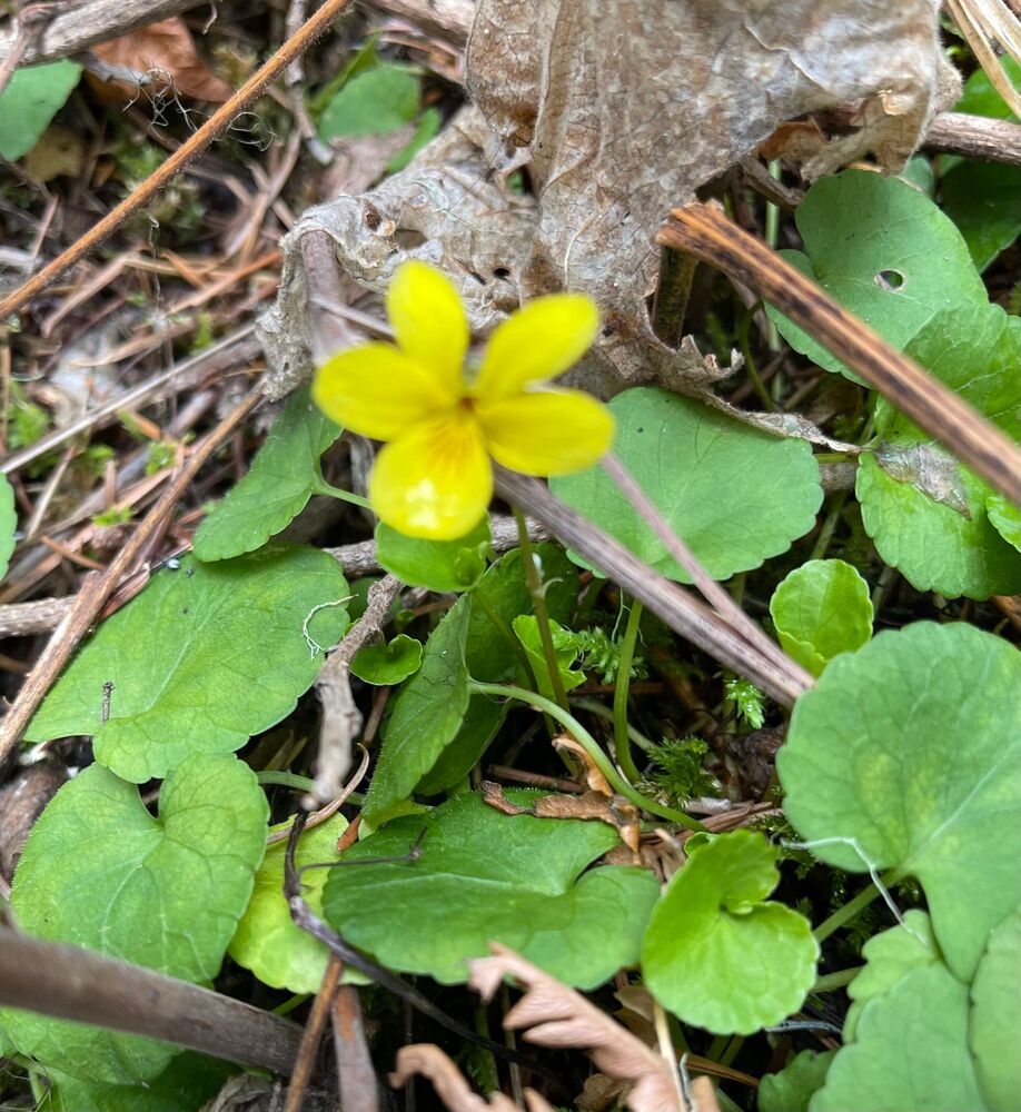
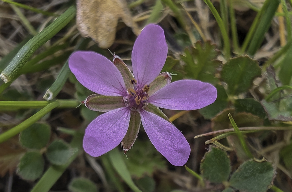
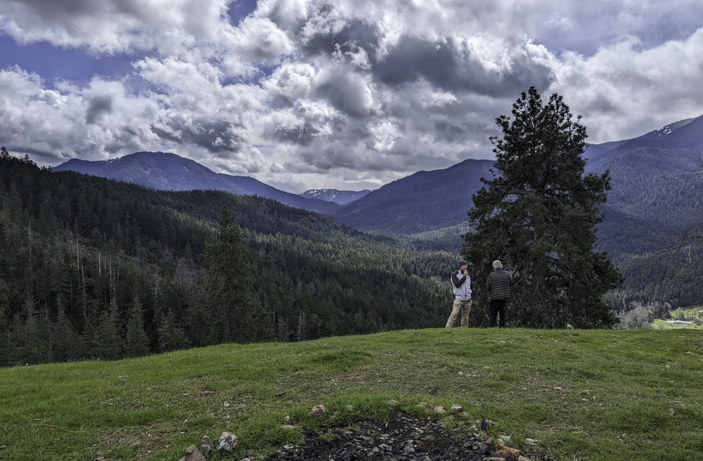
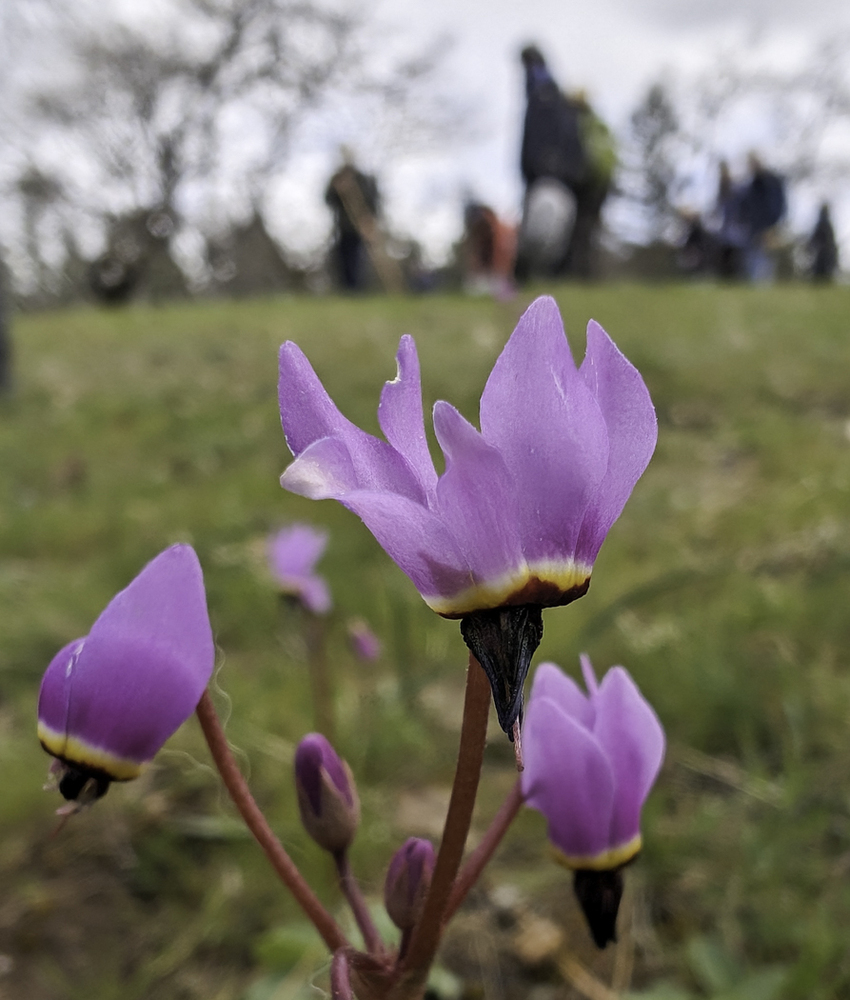
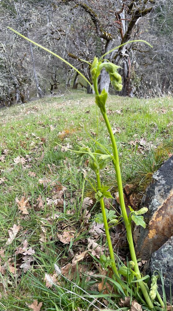
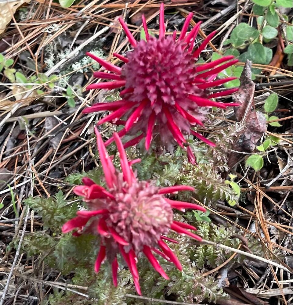
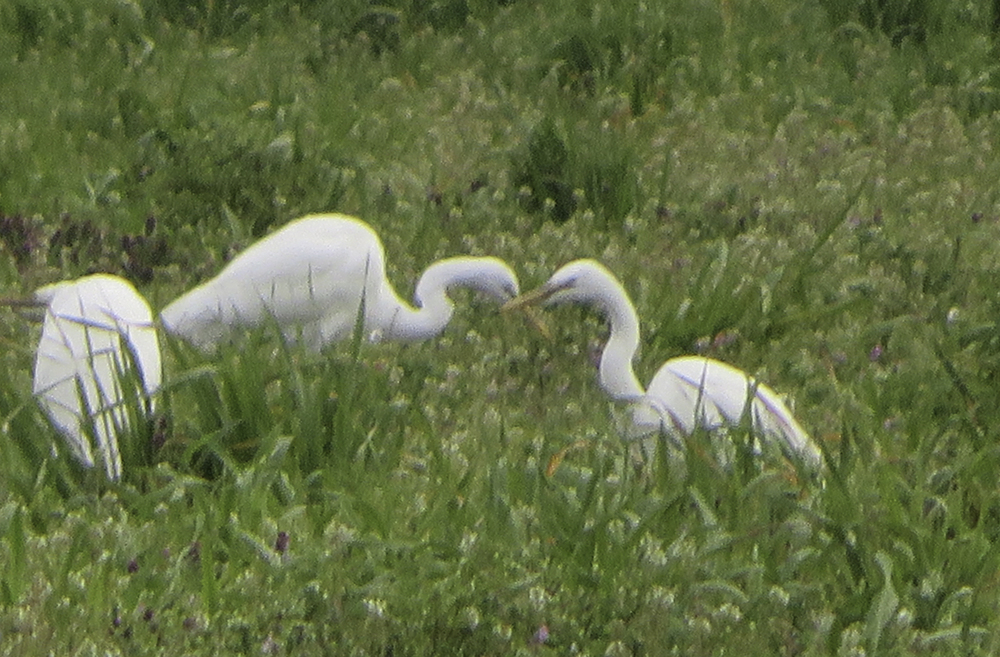
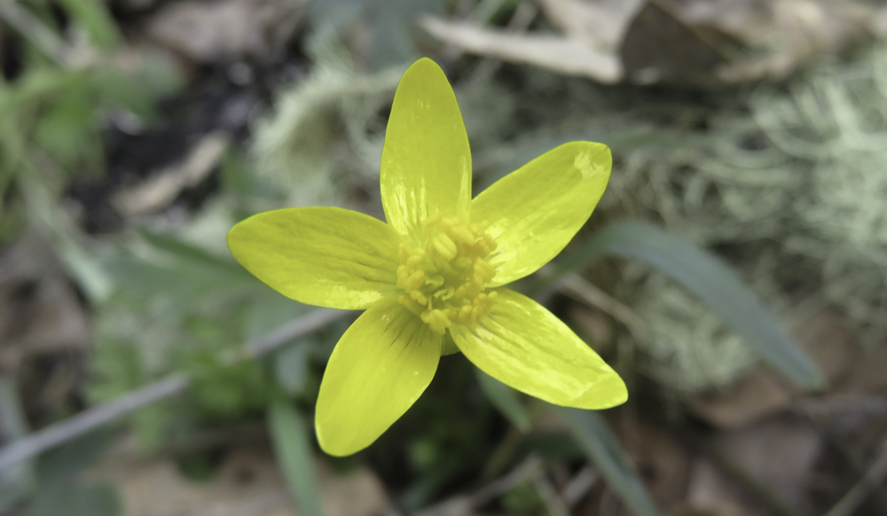
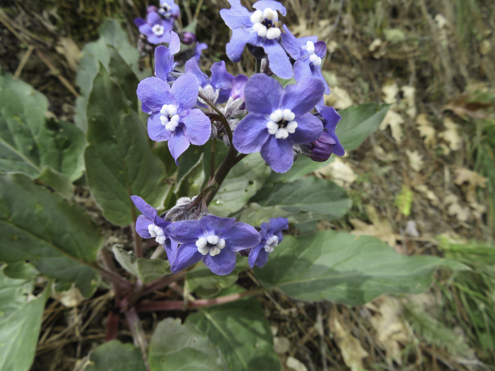
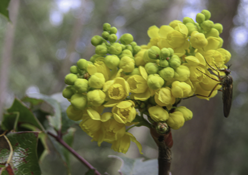
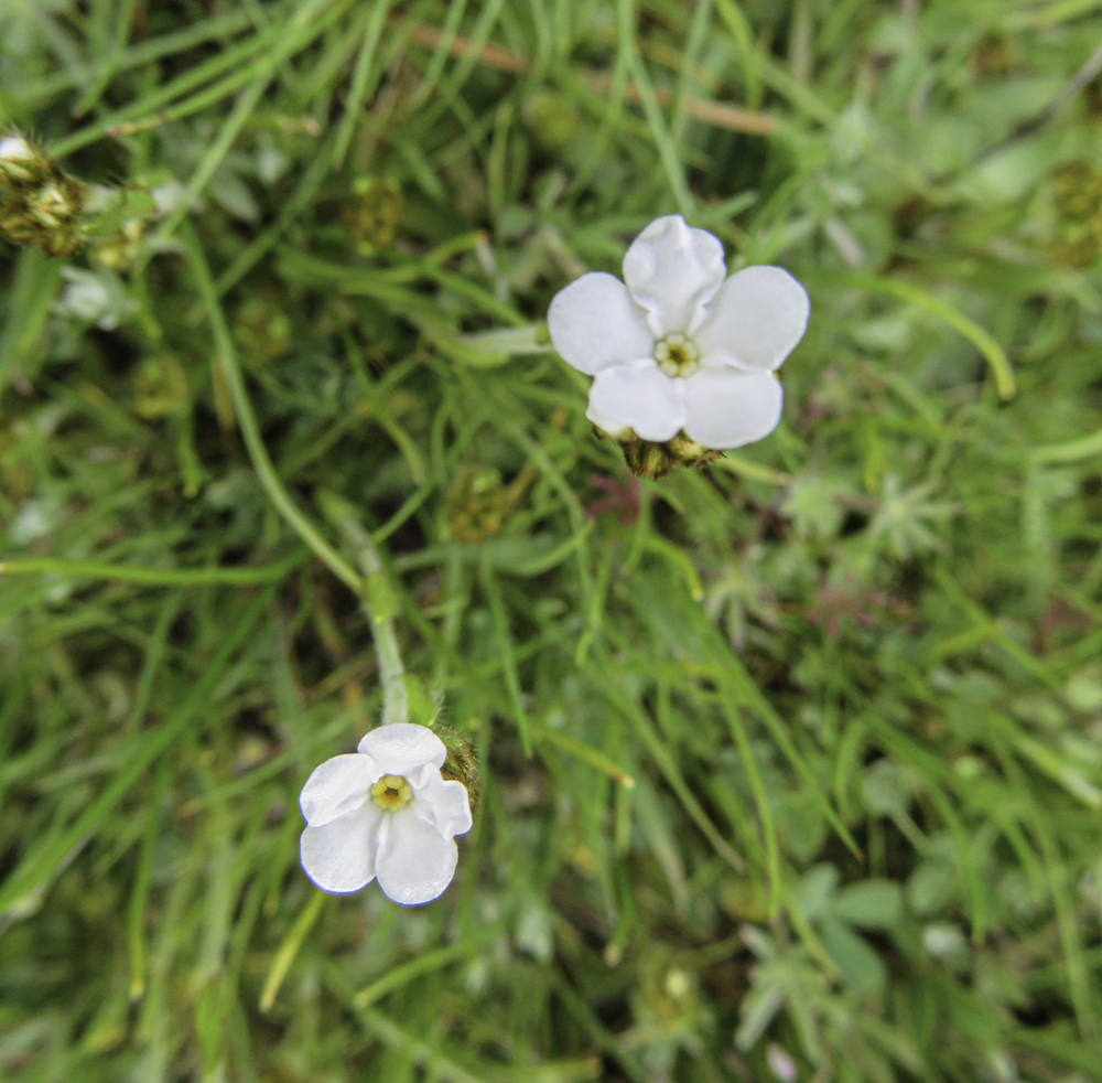
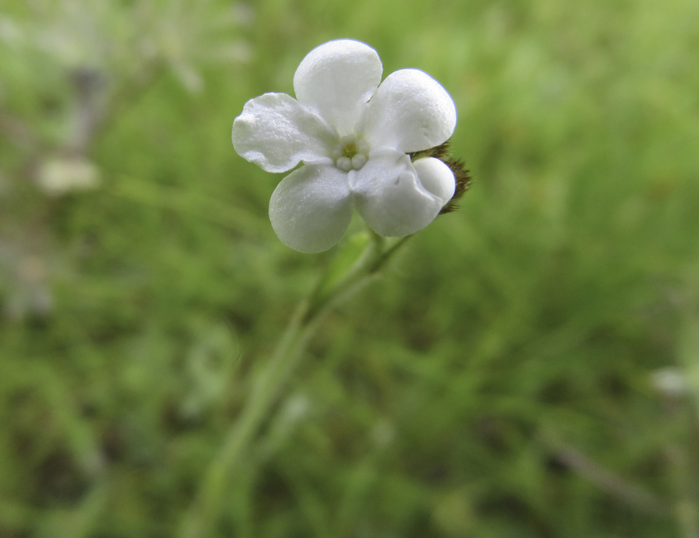
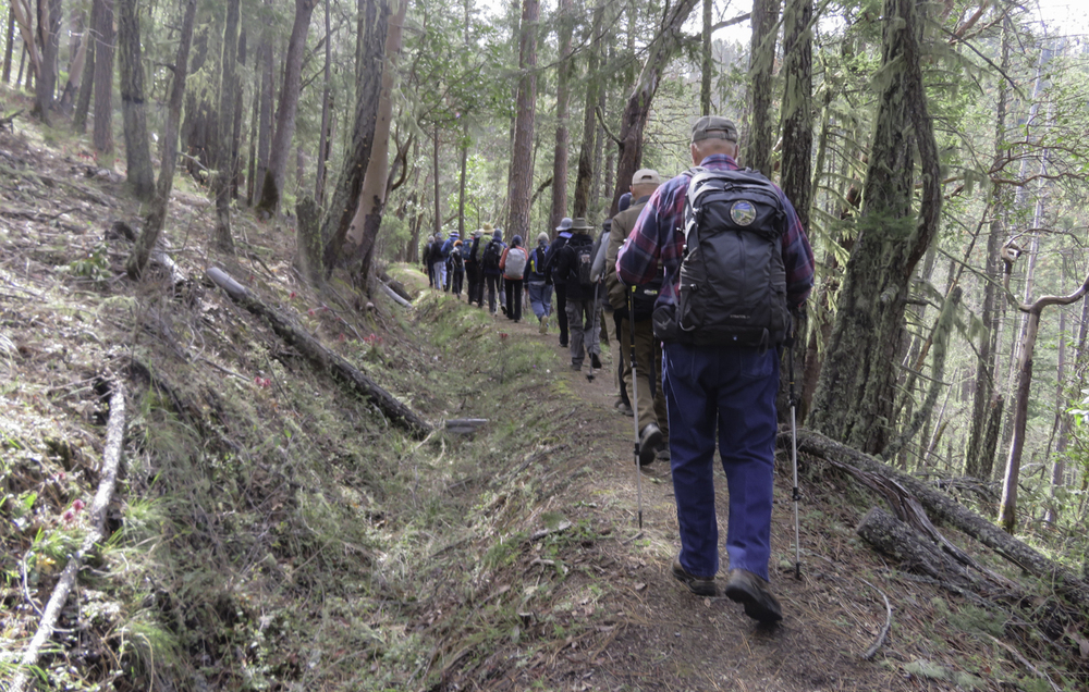
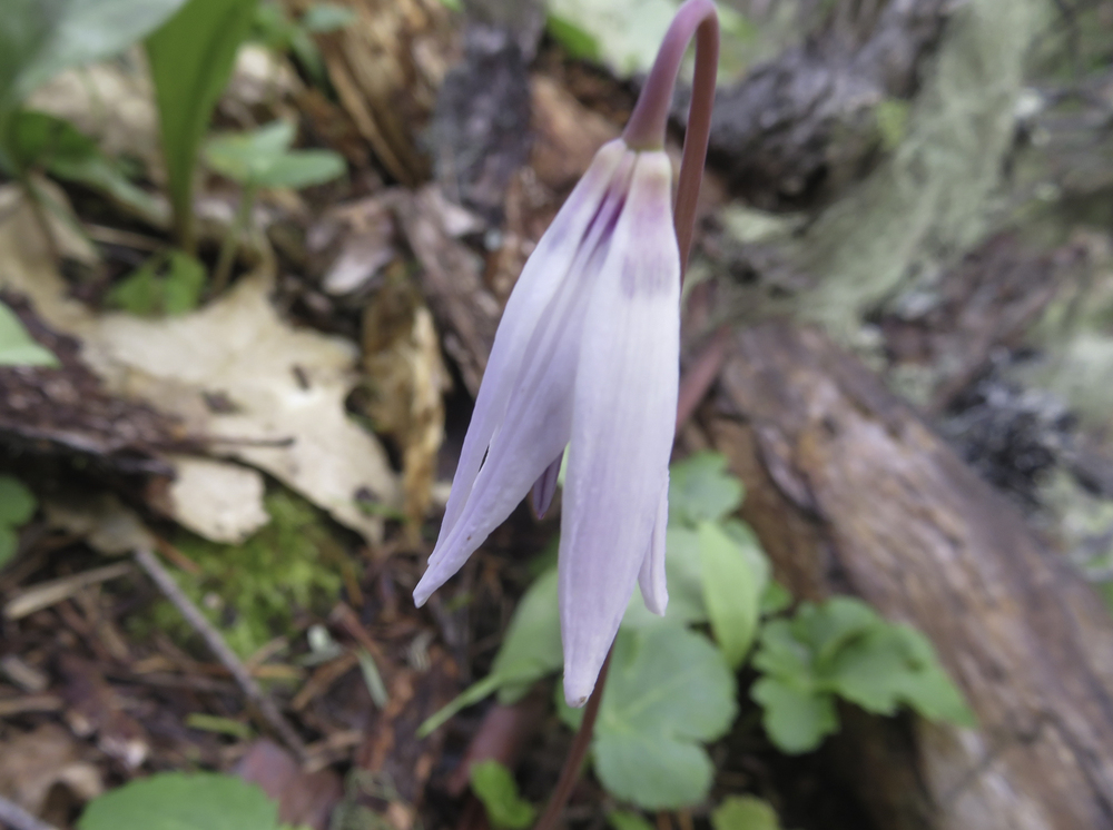
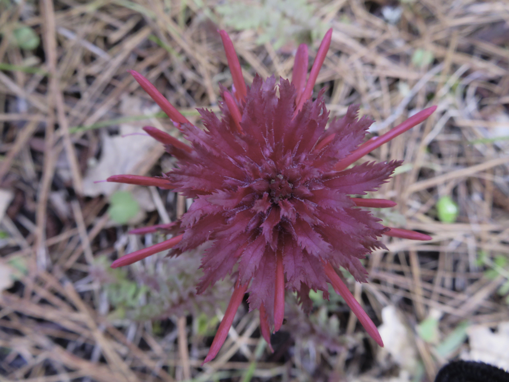
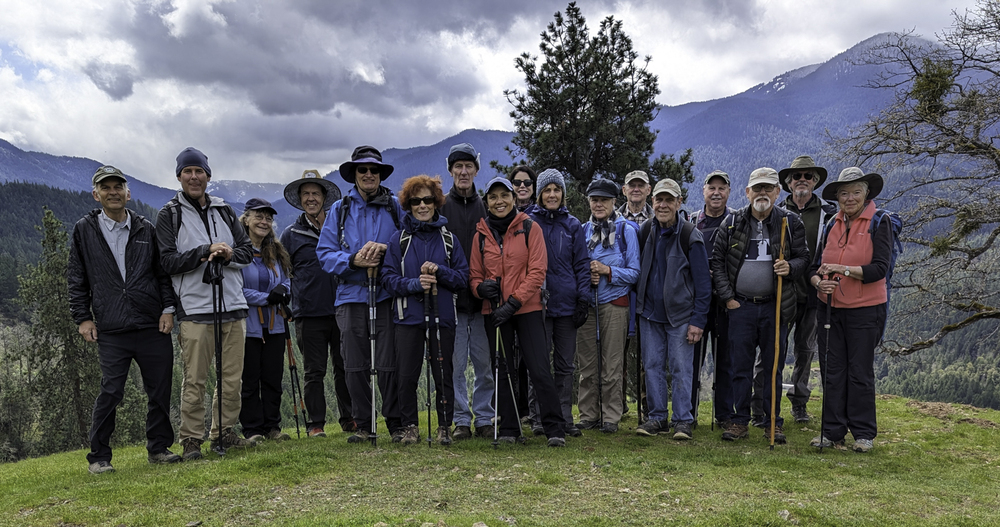
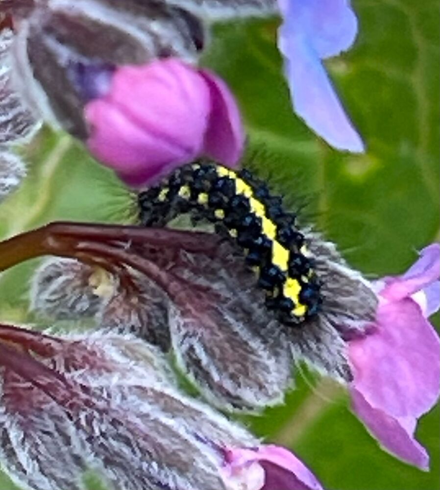
A large group of Monday hikers gathered at the top of Panther Gulch Rd in Williams to explore the Lower Layton Mine ditch trail, an annual event.  The cloud cover was starting to break up to allow some sunlight on the trail and reveal countless red Indian Warrior wildflowers along the way. We’d see many more flowers which are pictured below.

But this is not a typical report about another lovely spring hike; no, more than a hike it was an adventure.

 
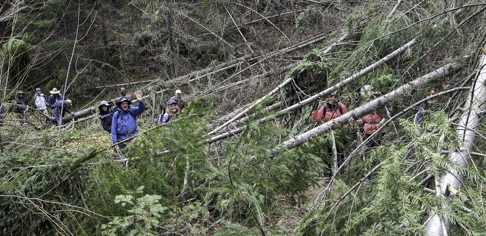
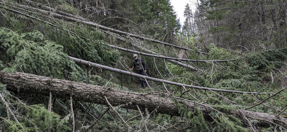
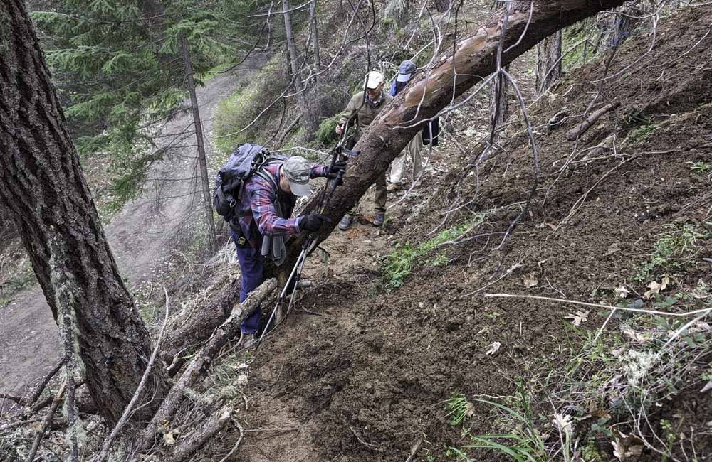
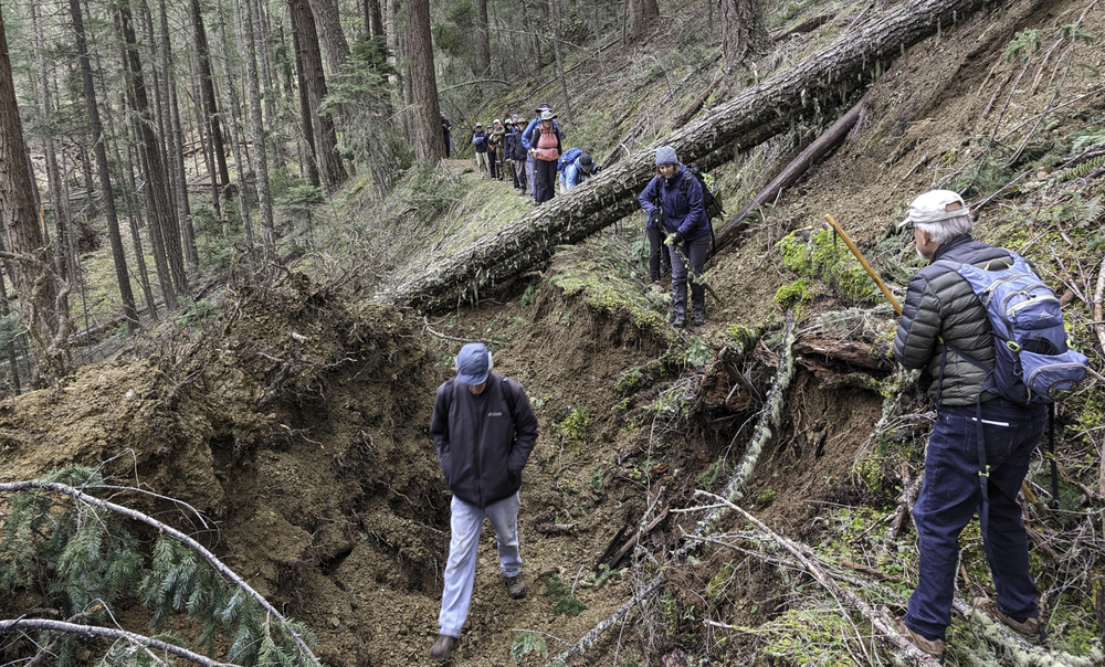
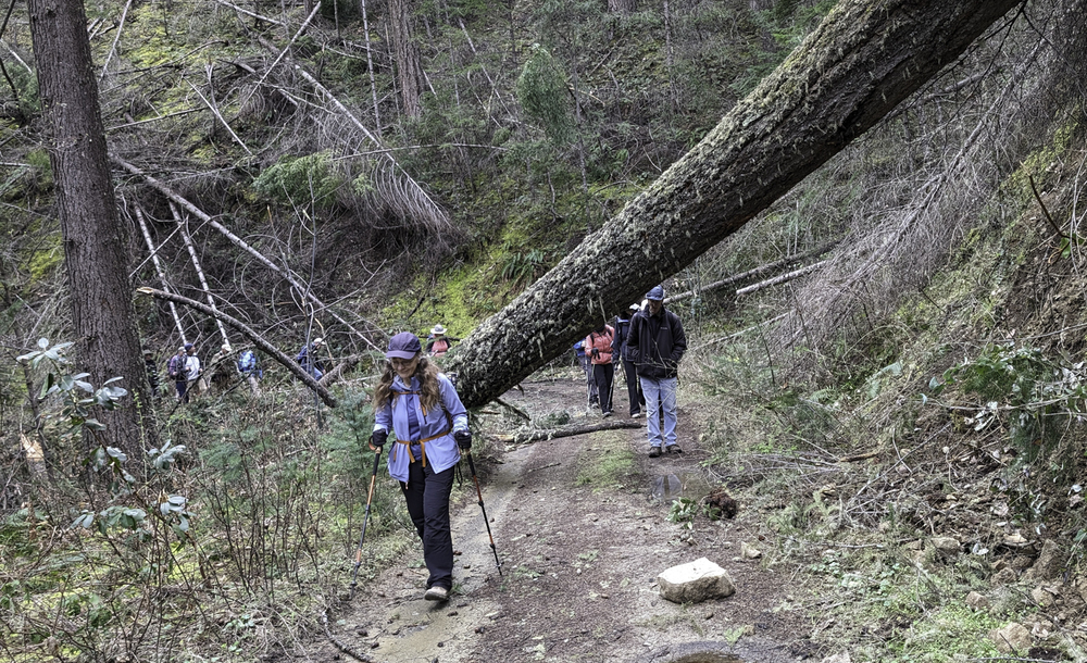
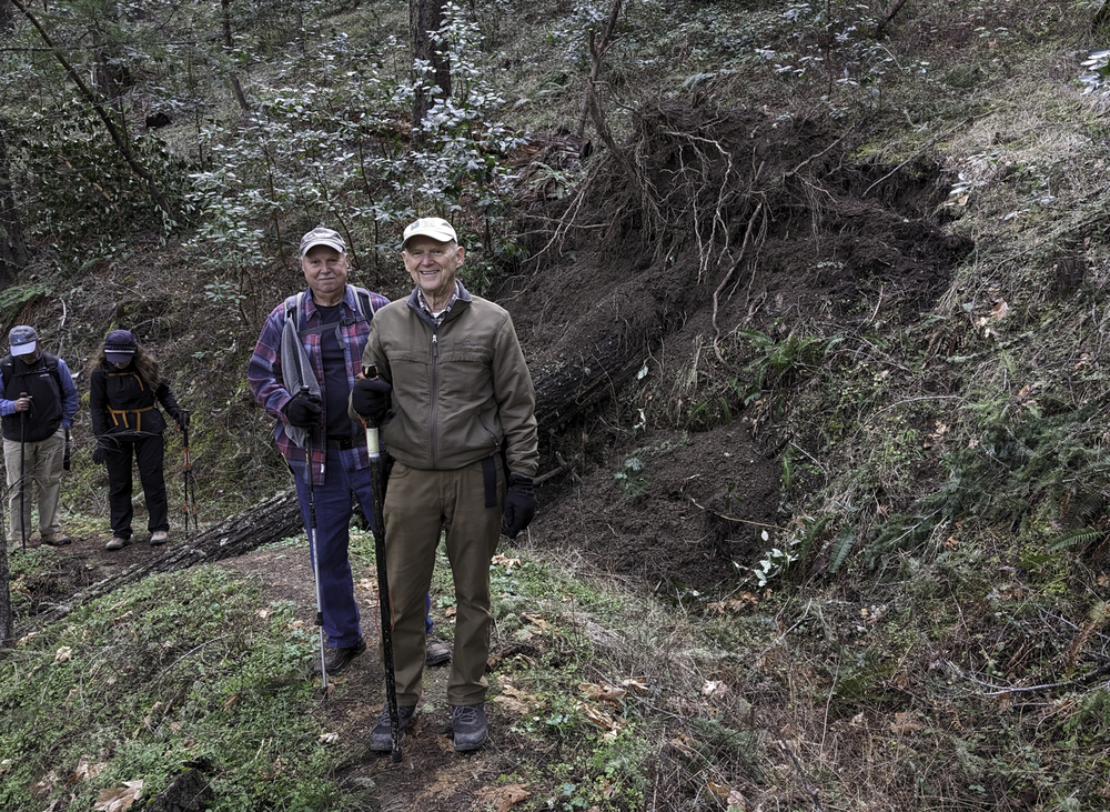
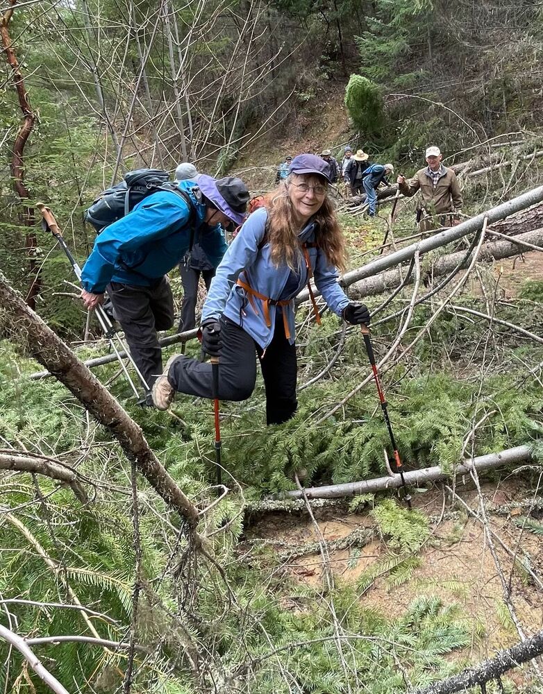
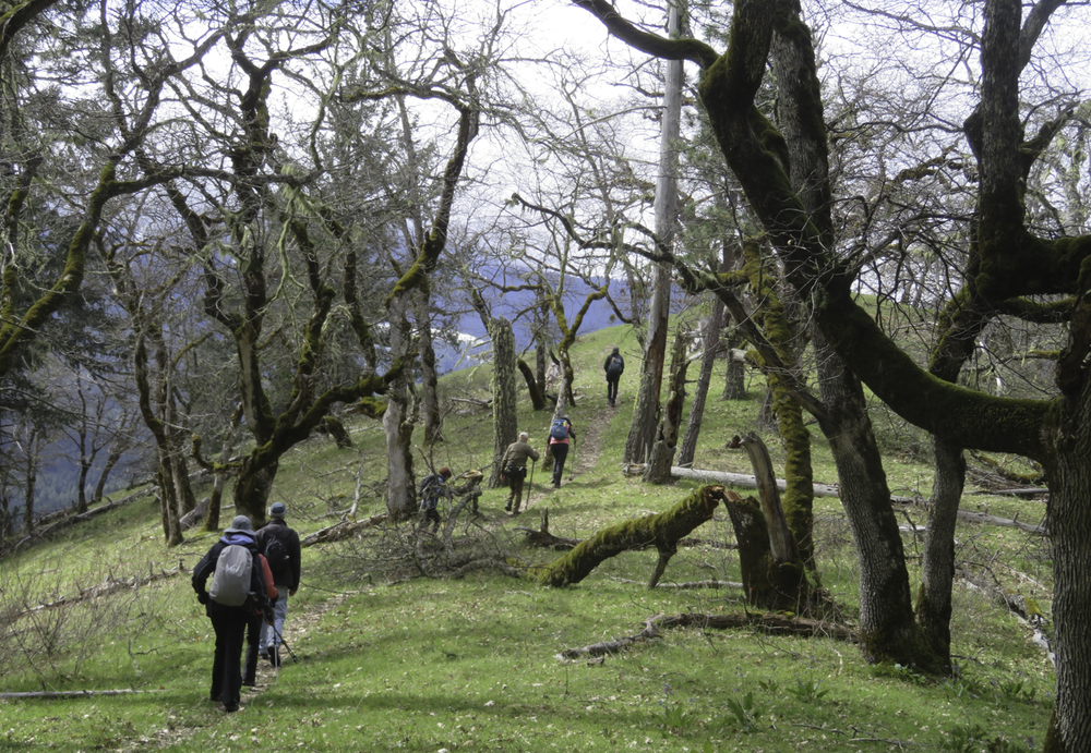
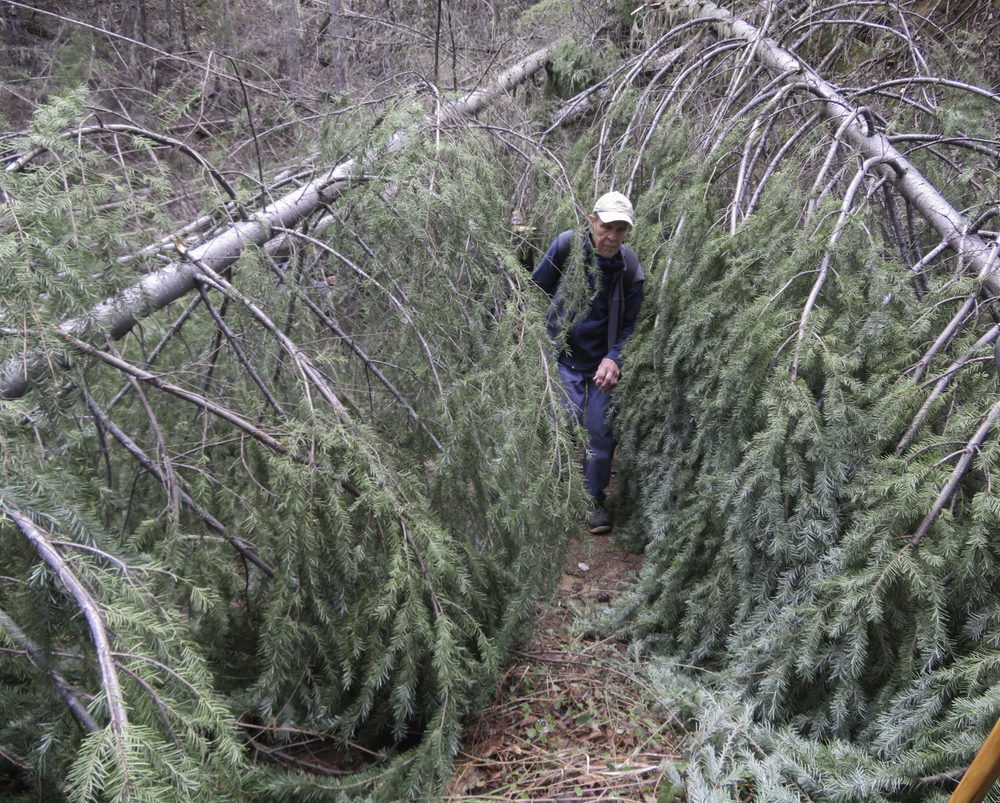
It started with the lead hikers kicking small branches over the side and off the trail to clear the way for our fellow hikers. But as we continued the fallen branches grew larger and more joined in to help clear the trail. We became a mobile maintenance crew; working a trail that hadn’t been cleared yet this year. Our group of 18 soon became a small platoon battling against more and more deadfall in our way. A less experienced crew might have given up and turned back but this veteran Monday group was having none of that.
 
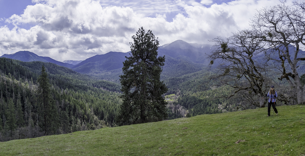
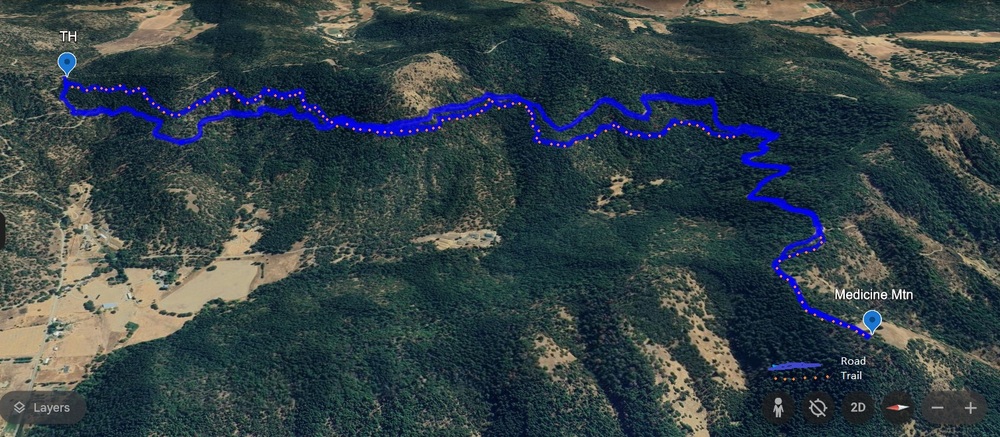
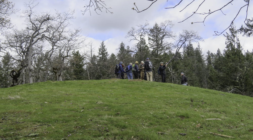
Our objective was to take the hill that the locals call Medicine Mountain, so as the deadfall offered more resistance increasing in size and frequency, group 18 became a single-minded unit that bore down and forged ahead. Over, under, around, and through this 2-mile obstacle course towards our objective, a relaxing lunch break in the warming sun.
 
We only lost one in our final push up the hill where we were greeted by Shooting Stars springing up in the welcomed sunlight.
 
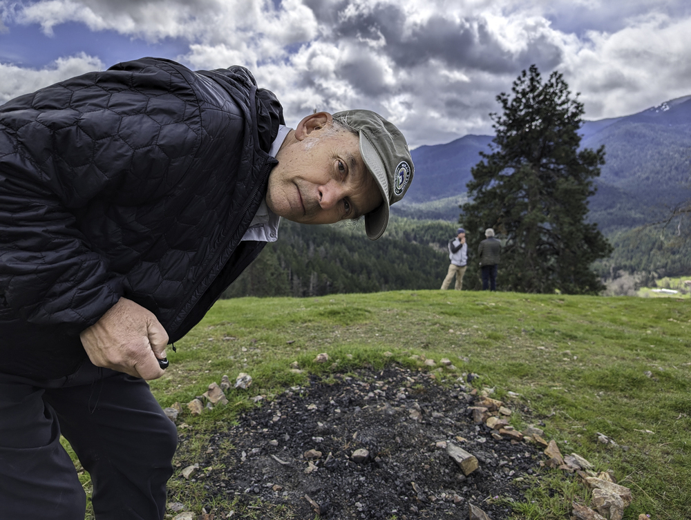
The leader passed out a ration of chocolate to his weary troops for a job well done. 
 
After some rest we started back to the TH, using an old service road that had its own obstructions but at least wasn’t partially destroyed by fallen trees.
 
On the day, we had gone 6.75 hard-fought miles and gained 700 feet.
 
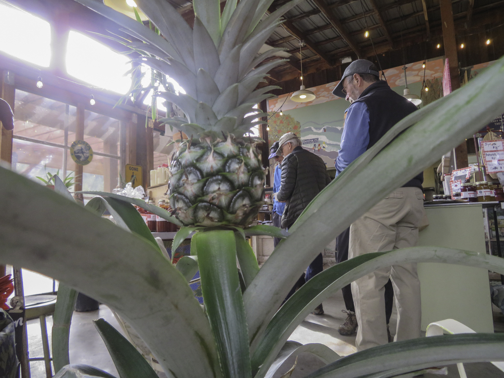
Post-hike we pulled into Pennington Farm to try their chow.

Post Content

Hike Leader: Rich Stickle

Photos By: Linda, Randy, Kay

Posted in Layton Mine Ditch, Monday, Woods

Post navigation

← Older posts
Newer posts →
↑