↓
 
Ashland Hiking Group 
 
  • About Us
  • Posted Hikes
    • Recent
    • Monday
    • Wednesday
    • Friday
    • Friday Flower
  • Hike Schedules
    • Monday
      • Current
      • Previous
    • Wednesday
      • Current
      • Previous
    • Friday
      • Current
      • Previous
    • Friday Flower
      • Current
      • Previous
  • Locations
    • Lakes
      • Applegate Lake
      • Azalea Lake
      • Castle Lake
      • Crater Lake
      • Duck Lakes
      • East Boulder Lake
      • Emigrant Lake
      • Fish Lake
      • Kangaroo Lake
      • Lost Creek Lake
      • Mountain Lakes
      • Puck Lakes
      • Seven Lakes
      • Sky Lakes
      • Smith Lake
      • Squaw Lakes
      • Taylor Lake
    • PCT
      • Brown Mountain
      • Castle Crags
      • Cement Bluff
      • Etna Summit
      • Greensprings Area
      • Gumboot Boulder
      • Hyatt/Greensprings Summit
      • Hyatt Reservoir
      • Mt Ashland Area
      • Pilot Rock Area
      • Porcupine Lake
      • Red Buttes
    • Rivers & Streams
      • Elk Creek
      • Frog Pond
      • Kelsey Creek
      • Lower Rogue
      • Mill Creek Falls
      • Sacramento River
      • Squaw Valley Creek
      • Upper Rogue
      • Taylor Creek
    • Snow Shoes
      • Buck Prairie
      • Crater Lake
      • Deadwood
      • Great Meadow
      • Grouse Gap
      • Hyatt Lake
      • Moon Prairie
      • Mt Ashland
      • Mt Shasta
      • Pederson
      • Pilot Rock
      • Summit Sno-Park
    • Mountains & Summits
      • A>L
        • Abbot Butte
        • Anderson Butte
        • Arch Rock
        • Baldy Peak
        • Big Red Mountain
        • Bolt Mountain
        • Castle Crags
        • Collings Mountain
        • Frank Hill Road
        • Grayback Mountain
        • Grizzly Peak
        • Kerby Peak
      • M>Z
        • Mount Ashland
        • Mount Bailey
        • Mount Eddy
        • Mount Elijah
        • Mount Shasta
        • Pompadour Bluff
        • Roxy Ann
        • Squaw Peak
        • Stein Butte
        • Stukel Mountain
        • Table Rocks
        • Union Peak
        • Wagner Butte
    • Woods
      • Ashland City
      • Ashland Watershed
      • Bear Creek Greenway
      • Cathedral Hills
      • Denman Wildlife Refuge
      • East Applegate Ridge
      • Enchanted Forest
      • Greenhorn Park
      • Greensprings Area
      • High Lakes Trail
      • Horseshoe Ranch
      • Jack Ash
      • Jacksonville
      • Layton Mine Ditch
      • Pacifica
      • Sterling Mine Ditch
      • Steves 40 Acres
    • Miscellaneous
  • Images
    • Resize @ 1000H ,1000V & med before uploading
  • Log In

Post navigation

← Older posts
Newer posts →

GREENHORN PARK

Ashland Hiking Group Posted on March 27, 2024 by Francie SkinnerApril 23, 2024

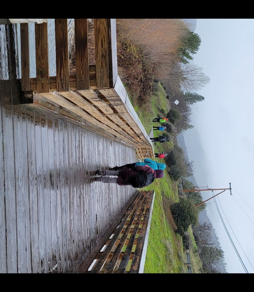
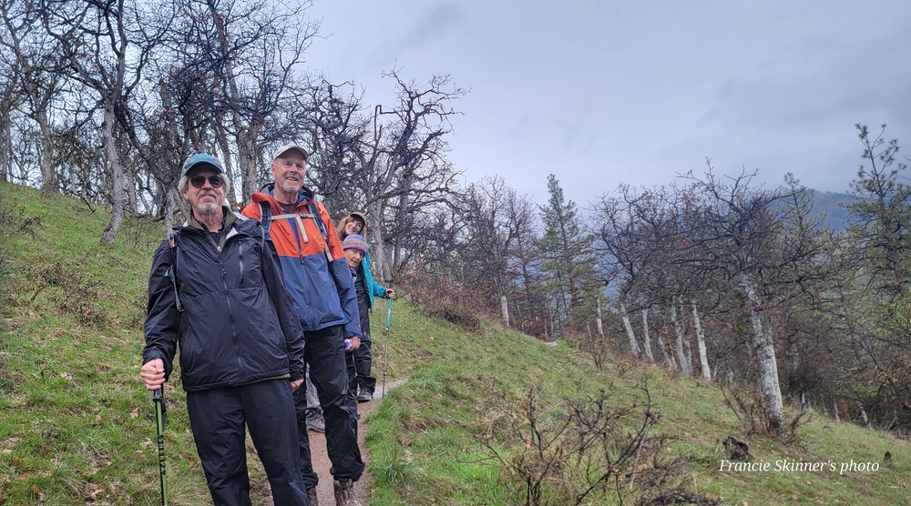
On Wednesday March 27th seven hikers came out in the rainy weather. We drove over the Siskiyou pass to Yreka to Greenhorn Park. The parking lot had a bathroom and a covered area with a bench. Bob was first to have the idea of changing into his rain gear while under cover.

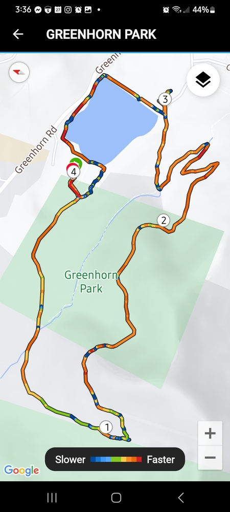
As we started out on the Miner’s trail, we noticed that they had added an 18 hole disc golf course. This was inspired by 3 brother-in-laws and a great group of friends. Greenhorn Disc Golf Club has a weekly league on Thursdays.

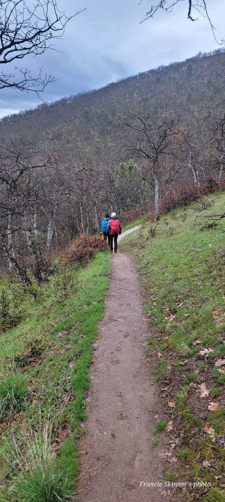
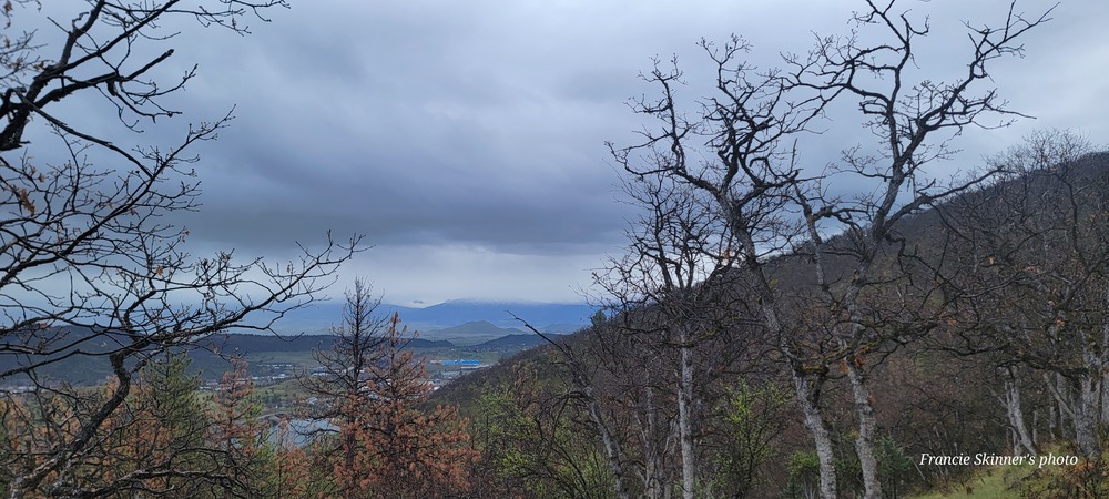
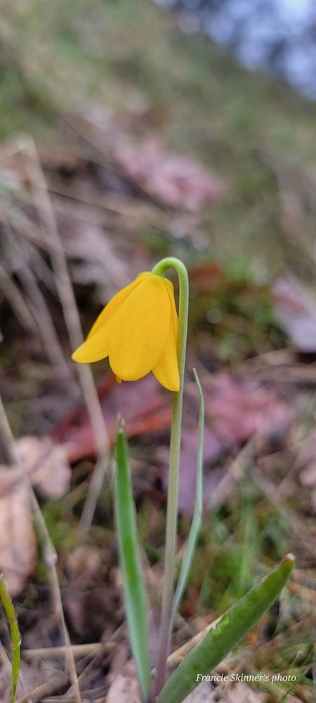
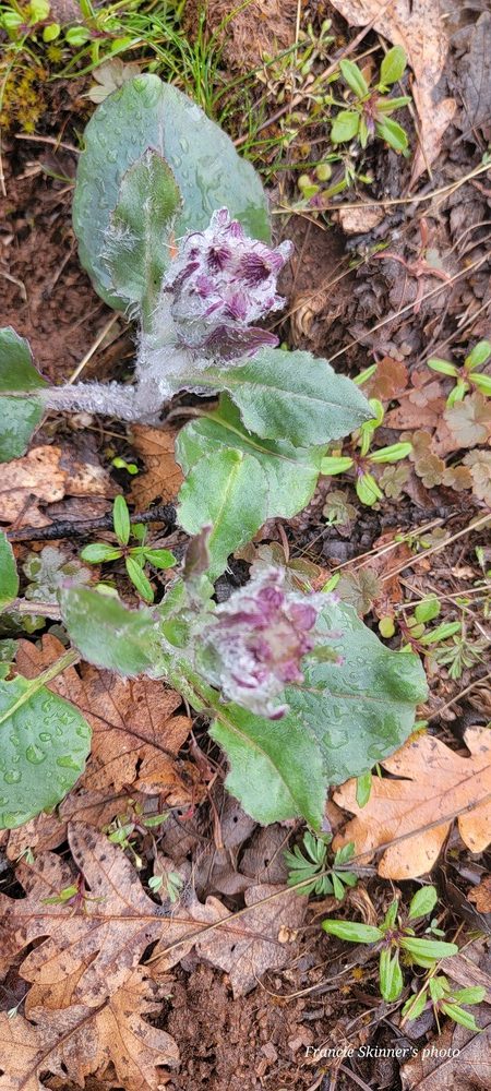
From the Miner’s Trail, we connected to the Flume Trail. We then took the switchback onto the Humbug Trail. Along the trail we saw the start of some blooming flowers. One we could not identify and some yellow violets and also some Fritillaria Pudica aka Yellow Bells.

A little before 11am, the rain stopped for only about 10 minutes. Most of the hike we were in light showers. We stopped for an early lunch at the Lower Greenhorn Picnic Area. I think we would have called this a half a Hank lunch because it was so short. After lunch, I shared the last of the Chocolate that Michael B had provided.

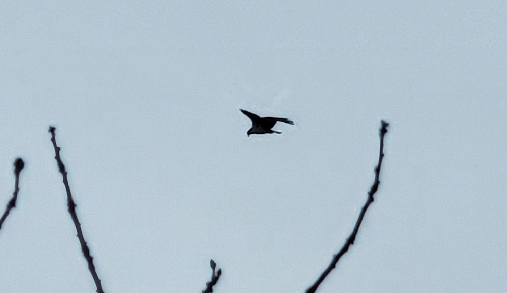
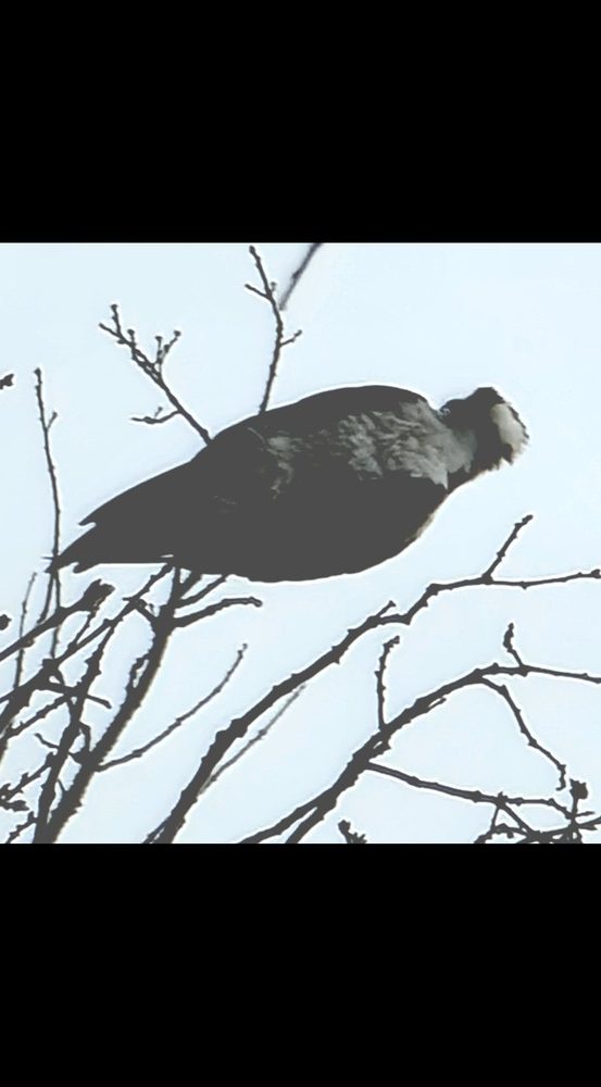
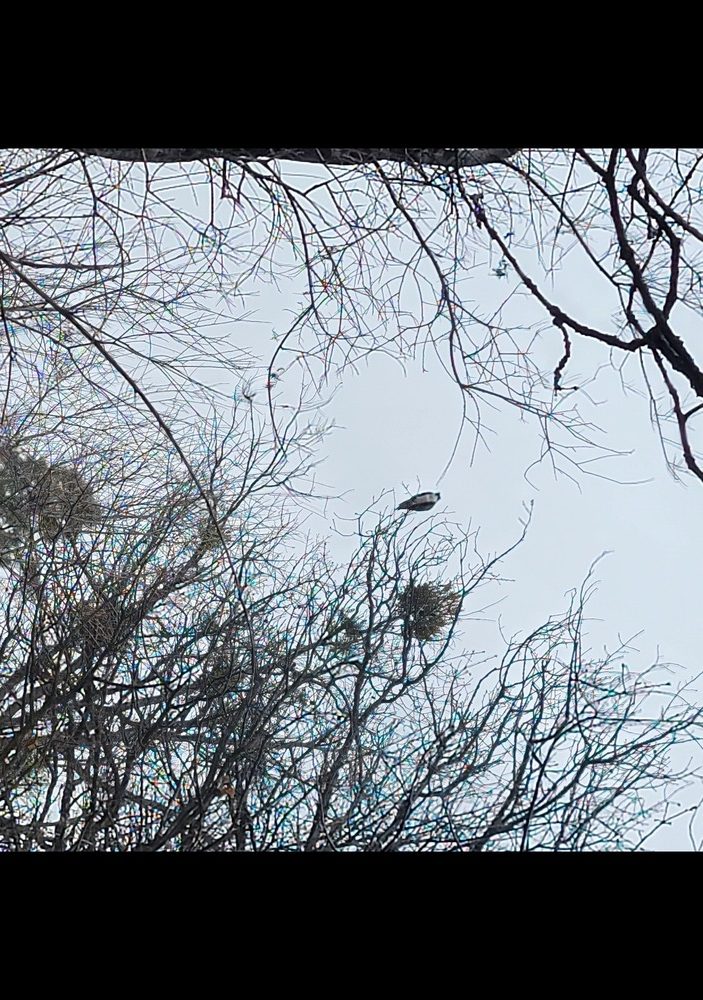
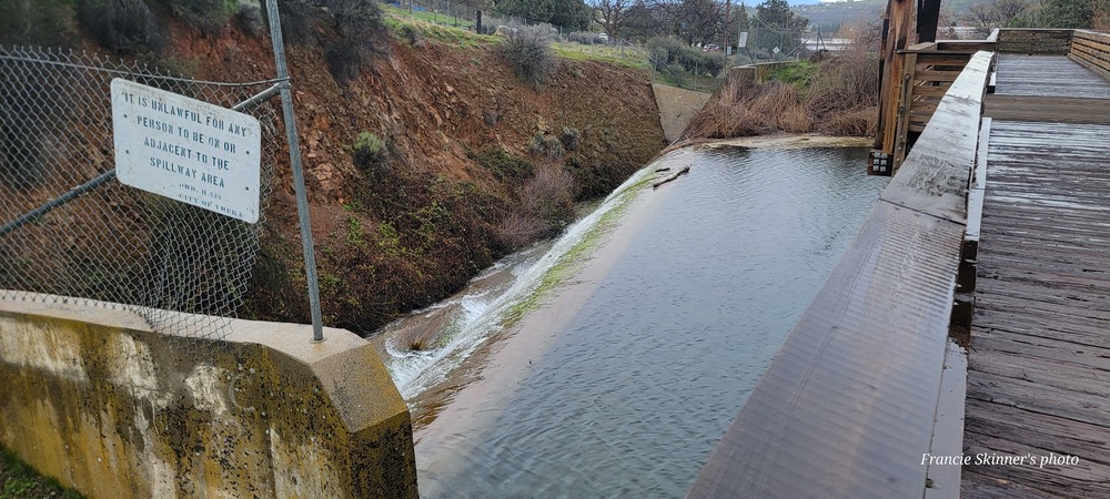
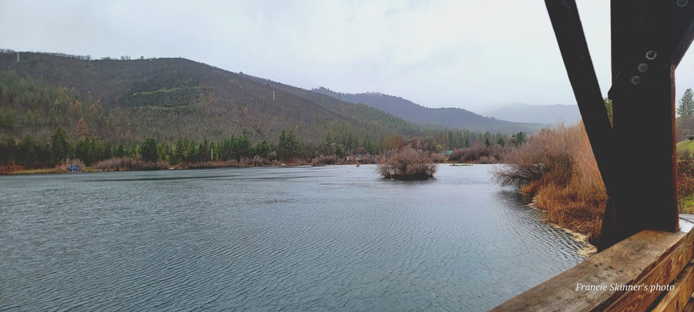
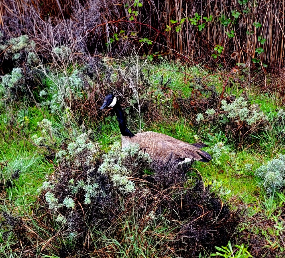
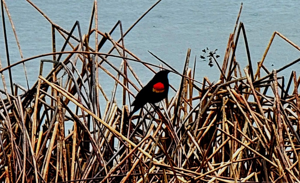
We continued around Greenhorn Reservoir and saw Red Winged Black Birds, some ducks and some geese. As we made our way around to the spillway, we saw an Osprey in flight right over the water. From there, it flew up and perched high up in a tree. It was studying something and then we saw it take off again.

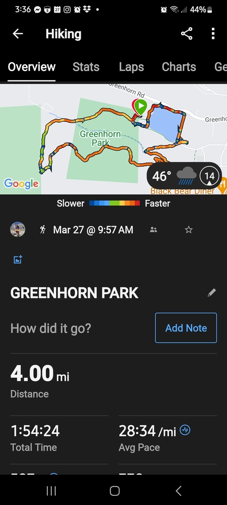
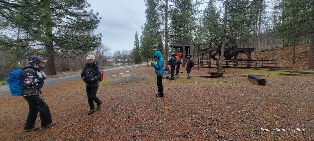
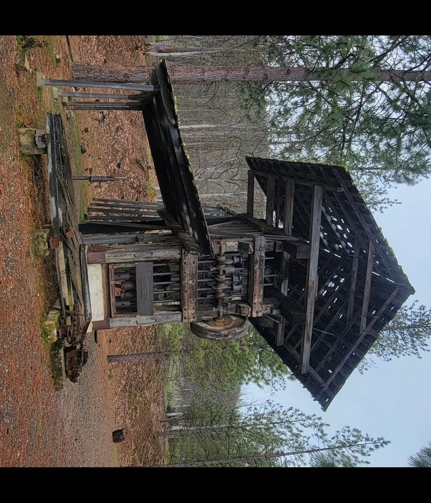
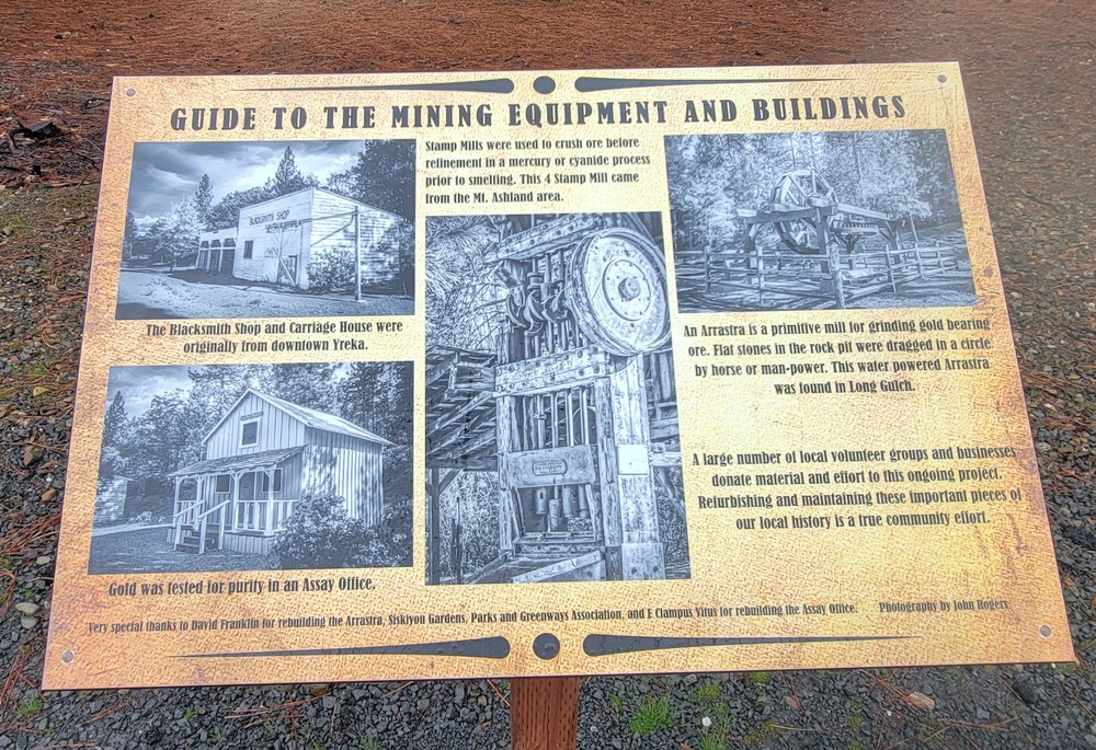
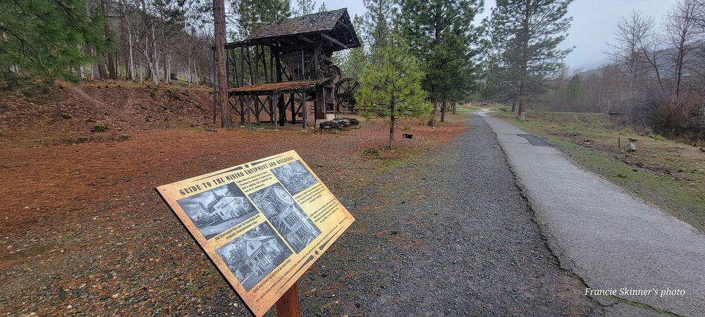
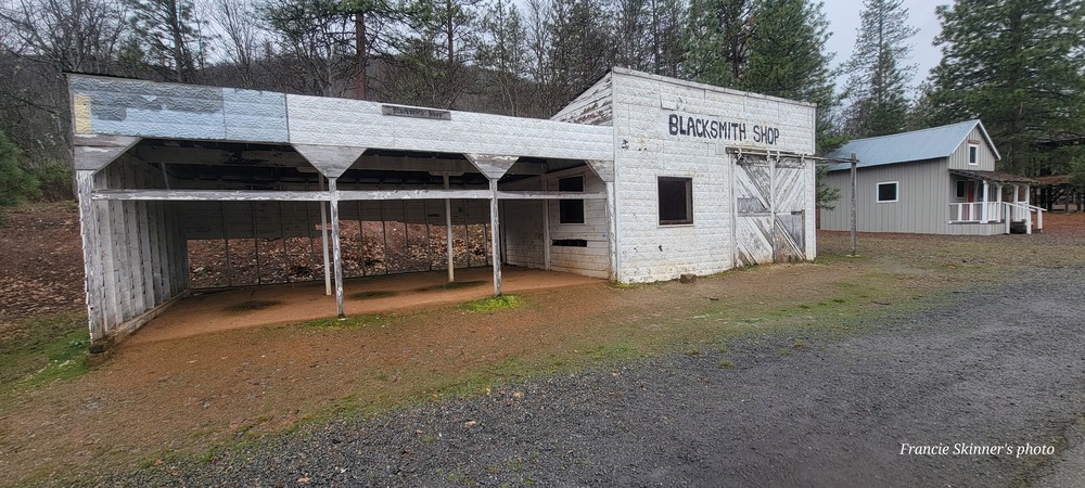
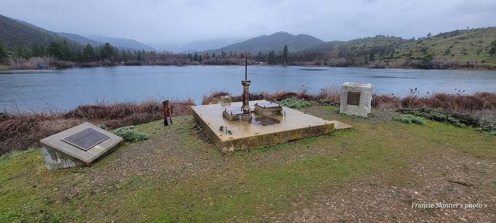
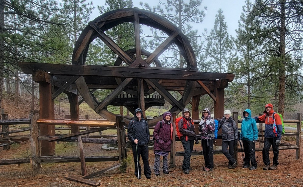
We continued on the Veteran’s Memorial Trail and to the mining equipment and building display. From there we headed back to the bathroom and used the bench and stayed covered while we removed our rain gear. We were back to our cars by a little after 12:15. It was a short 4 mile hike with only 600 feet of elevation gain.

Hike Leader: Francie

Photos By: Francie

Download GPX

Posted in Greenhorn Park, Wednesday, Woods

Post navigation

← Older posts
Newer posts →
↑