↓
 
Ashland Hiking Group 
 
  • About Us
  • Posted Hikes
    • Recent
    • Monday
    • Wednesday
    • Friday
    • Friday Flower
  • Hike Schedules
    • Monday
      • Current
      • Previous
    • Wednesday
      • Current
      • Previous
    • Friday
      • Current
      • Previous
    • Friday Flower
      • Current
      • Previous
  • Locations
    • Lakes
      • Applegate Lake
      • Azalea Lake
      • Castle Lake
      • Crater Lake
      • Duck Lakes
      • East Boulder Lake
      • Emigrant Lake
      • Fish Lake
      • Kangaroo Lake
      • Lost Creek Lake
      • Mountain Lakes
      • Puck Lakes
      • Seven Lakes
      • Sky Lakes
      • Smith Lake
      • Squaw Lakes
      • Taylor Lake
    • PCT
      • Brown Mountain
      • Castle Crags
      • Cement Bluff
      • Etna Summit
      • Greensprings Area
      • Gumboot Boulder
      • Hyatt/Greensprings Summit
      • Hyatt Reservoir
      • Mt Ashland Area
      • Pilot Rock Area
      • Porcupine Lake
      • Red Buttes
    • Rivers & Streams
      • Elk Creek
      • Frog Pond
      • Kelsey Creek
      • Lower Rogue
      • Mill Creek Falls
      • Sacramento River
      • Squaw Valley Creek
      • Upper Rogue
      • Taylor Creek
    • Snow Shoes
      • Buck Prairie
      • Crater Lake
      • Deadwood
      • Great Meadow
      • Grouse Gap
      • Hyatt Lake
      • Moon Prairie
      • Mt Ashland
      • Mt Shasta
      • Pederson
      • Pilot Rock
      • Summit Sno-Park
    • Mountains & Summits
      • A>L
        • Abbot Butte
        • Anderson Butte
        • Arch Rock
        • Baldy Peak
        • Big Red Mountain
        • Bolt Mountain
        • Castle Crags
        • Collings Mountain
        • Frank Hill Road
        • Grayback Mountain
        • Grizzly Peak
        • Kerby Peak
      • M>Z
        • Mount Ashland
        • Mount Bailey
        • Mount Eddy
        • Mount Elijah
        • Mount Shasta
        • Pompadour Bluff
        • Roxy Ann
        • Squaw Peak
        • Stein Butte
        • Stukel Mountain
        • Table Rocks
        • Union Peak
        • Wagner Butte
    • Woods
      • Ashland City
      • Ashland Watershed
      • Bear Creek Greenway
      • Cathedral Hills
      • Denman Wildlife Refuge
      • East Applegate Ridge
      • Enchanted Forest
      • Greenhorn Park
      • Greensprings Area
      • High Lakes Trail
      • Horseshoe Ranch
      • Jack Ash
      • Jacksonville
      • Layton Mine Ditch
      • Pacifica
      • Sterling Mine Ditch
      • Steves 40 Acres
    • Miscellaneous
  • Images
    • Resize @ 1000H ,1000V & med before uploading
  • Log In

Post navigation

← Older posts
Newer posts →

Red Queen

Ashland Hiking Group Posted on November 17, 2023 by Randy BryanApril 23, 2024

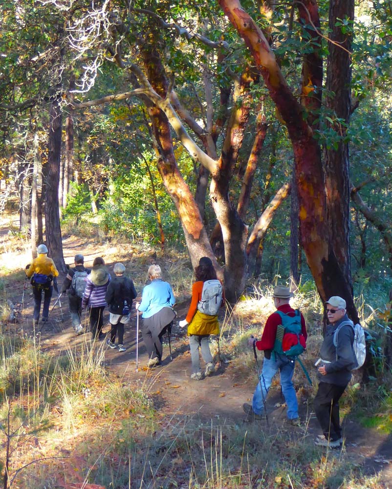
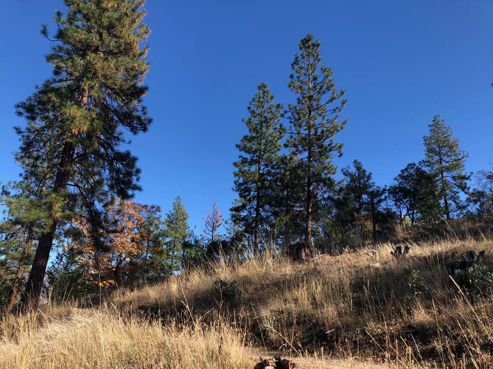
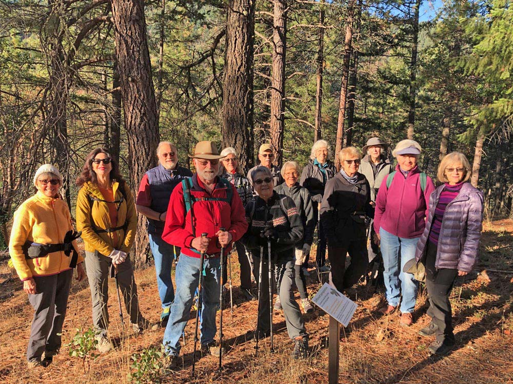
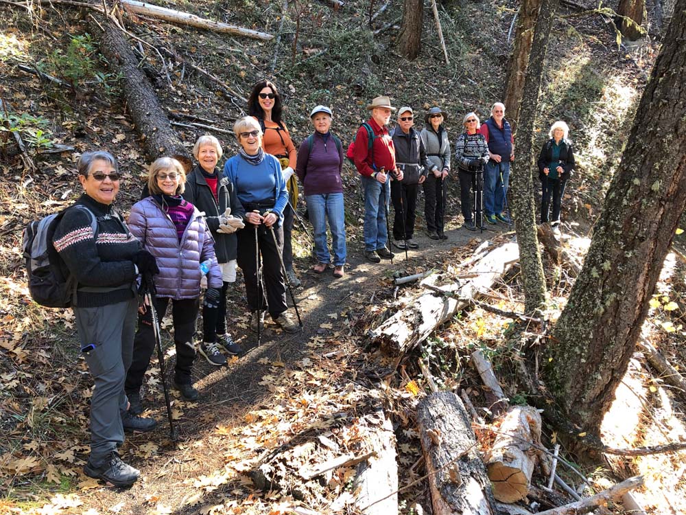
Starting at the top of Terrace Street in Ashland, 13 hikers climbed up into the watershed on Red Queen. It was a magnificent day in all respects, from a vivid blue sky to enjoyable conversation. Amongst our group, we had hikers from Medford, Talent and Ashland. Three had not hiked in the Ashland watershed before.

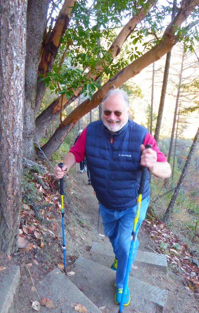
We ‘slogged’ up the grade into the forest and enjoyed the ups and downs (mostly up) following Red Queen nearly to the high point. Some of us covered 4.2 miles with an elevation gain of 850’ (a hefty climb for this group). Co-leaders (Socorro, Bonnie and Kate) took part of the group on up Red Queen for another half mile and back, accomplishing a total hike of 5 miles.

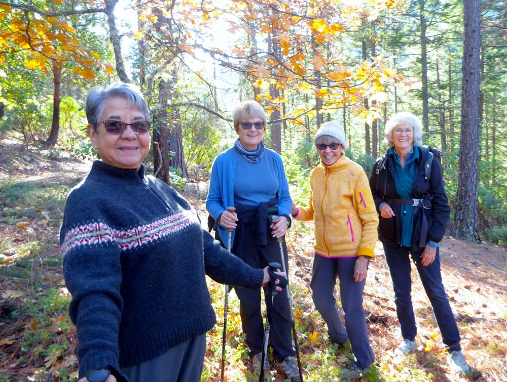
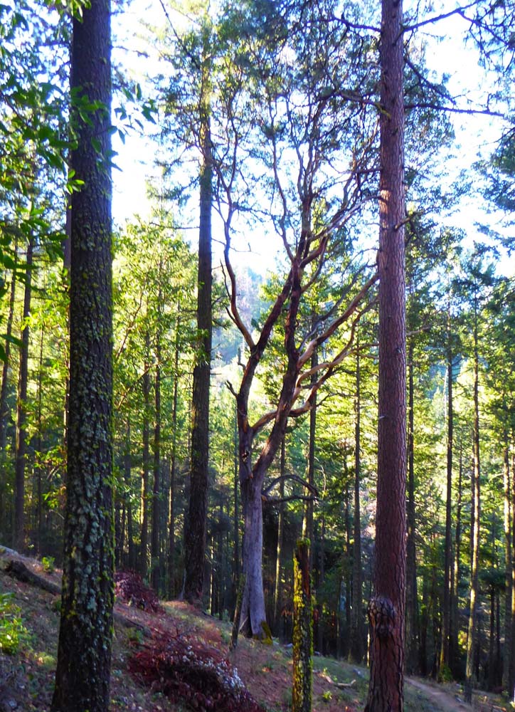
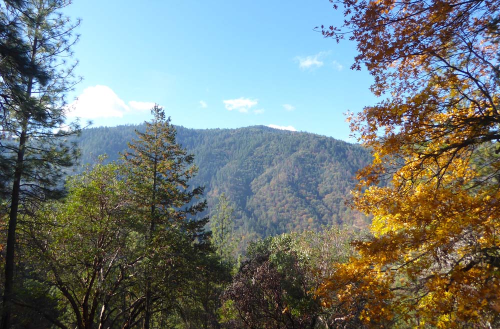
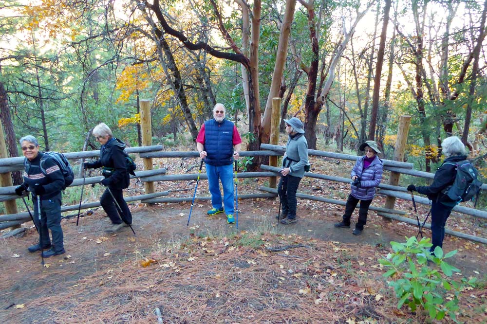
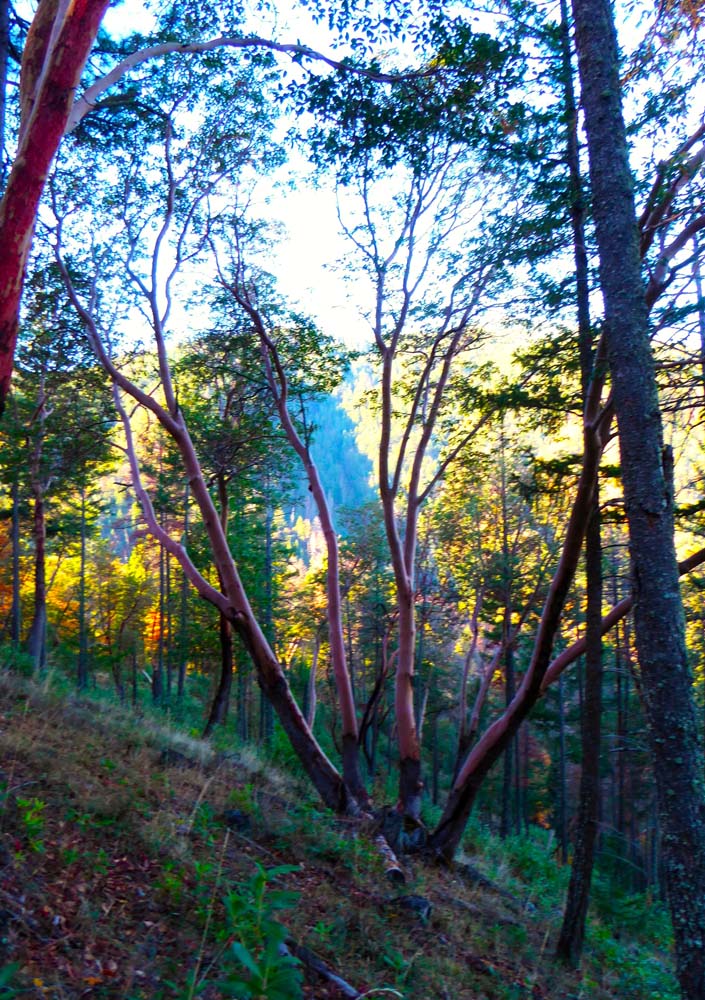
We enjoyed our snacks on one of the hillsides looking out over the hills on the west side, including our usual ‘capstone’ with dark chocolate covered blueberries and acai. Throughout this iconic Ashland hike, we noted the interpretive signs aimed at educating trail users and the variety of trees and brush – Madrone, manzanita, pine, oak, Douglas Fir, and more. We were joined for part of our return by two delightful AHG Wednesday hikers.

Hike Leader: Elisabeth

Photos By: Elisabeth, Val

Posted in Ashland Watershed, Friday, Woods

Post navigation

← Older posts
Newer posts →
↑