↓
 
Ashland Hiking Group 
 
  • About Us
  • Posted Hikes
    • Recent
    • Monday
    • Wednesday
    • Friday
    • Friday Flower
  • Hike Schedules
    • Monday
      • Current
      • Previous
    • Wednesday
      • Current
      • Previous
    • Friday
      • Current
      • Previous
    • Friday Flower
      • Current
      • Previous
  • Locations
    • Lakes
      • Applegate Lake
      • Azalea Lake
      • Castle Lake
      • Crater Lake
      • Duck Lakes
      • East Boulder Lake
      • Emigrant Lake
      • Fish Lake
      • Kangaroo Lake
      • Lost Creek Lake
      • Mountain Lakes
      • Puck Lakes
      • Seven Lakes
      • Sky Lakes
      • Smith Lake
      • Squaw Lakes
      • Taylor Lake
    • PCT
      • Brown Mountain
      • Castle Crags
      • Cement Bluff
      • Etna Summit
      • Greensprings Area
      • Gumboot Boulder
      • Hyatt/Greensprings Summit
      • Hyatt Reservoir
      • Mt Ashland Area
      • Pilot Rock Area
      • Porcupine Lake
      • Red Buttes
    • Rivers & Streams
      • Elk Creek
      • Frog Pond
      • Kelsey Creek
      • Lower Rogue
      • Mill Creek Falls
      • Sacramento River
      • Squaw Valley Creek
      • Upper Rogue
      • Taylor Creek
    • Snow Shoes
      • Buck Prairie
      • Crater Lake
      • Deadwood
      • Great Meadow
      • Grouse Gap
      • Hyatt Lake
      • Moon Prairie
      • Mt Ashland
      • Mt Shasta
      • Pederson
      • Pilot Rock
      • Summit Sno-Park
    • Mountains & Summits
      • A>L
        • Abbot Butte
        • Anderson Butte
        • Arch Rock
        • Baldy Peak
        • Big Red Mountain
        • Bolt Mountain
        • Castle Crags
        • Collings Mountain
        • Frank Hill Road
        • Grayback Mountain
        • Grizzly Peak
        • Kerby Peak
      • M>Z
        • Mount Ashland
        • Mount Bailey
        • Mount Eddy
        • Mount Elijah
        • Mount Shasta
        • Pompadour Bluff
        • Roxy Ann
        • Squaw Peak
        • Stein Butte
        • Stukel Mountain
        • Table Rocks
        • Union Peak
        • Wagner Butte
    • Woods
      • Ashland City
      • Ashland Watershed
      • Bear Creek Greenway
      • Cathedral Hills
      • Denman Wildlife Refuge
      • East Applegate Ridge
      • Enchanted Forest
      • Greenhorn Park
      • Greensprings Area
      • High Lakes Trail
      • Horseshoe Ranch
      • Jack Ash
      • Jacksonville
      • Layton Mine Ditch
      • Pacifica
      • Sterling Mine Ditch
      • Steves 40 Acres
    • Miscellaneous
  • Images
    • Resize @ 1000H ,1000V & med before uploading
  • Log In

Post navigation

← Older posts
Newer posts →

Buck Rock Tunnel

Ashland Hiking Group Posted on November 20, 2023 by Randy BryanApril 23, 2024

The day started cold and windy at the Rite Aid parking, but after a short 8 miles east on Highway 66 and then 2 miles up Emigrant Creek Road, we debarked from our SUVs to calm wind with the sun coming through the surrounding Oak Grove.

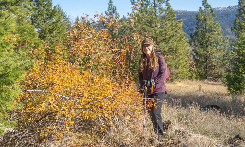
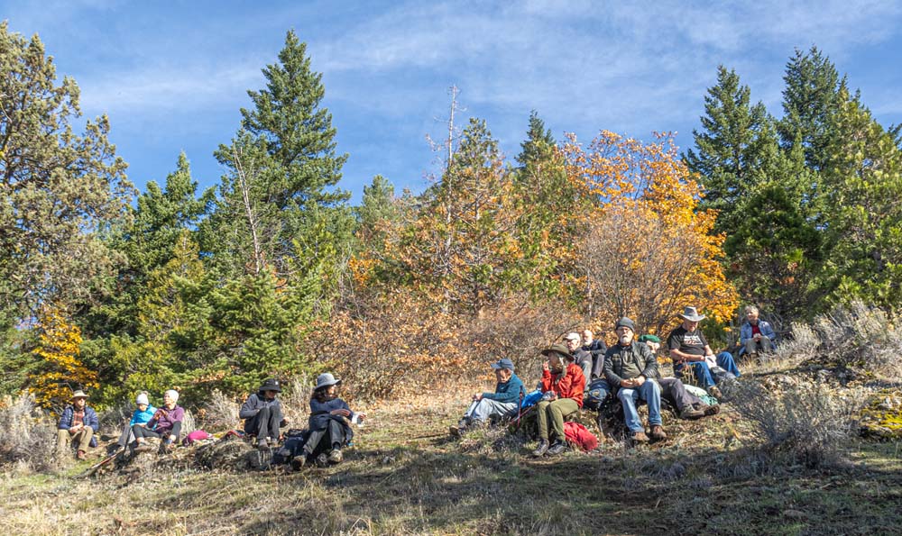
Our group of 15, went across the road and around the gate to head up the old decommissioned BLM Road towards the Buck Rock Trail Loop. The ground in the shade was frosty but eventually, we broke out into the warming sun as we gained elevation.

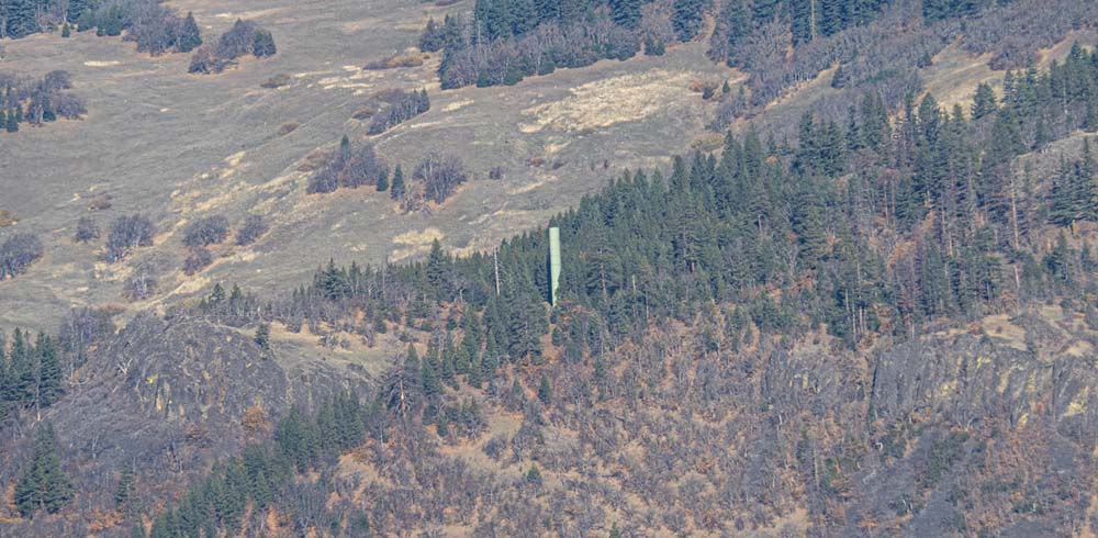
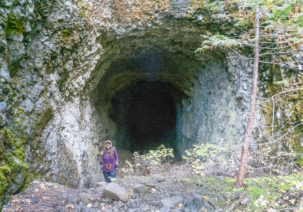
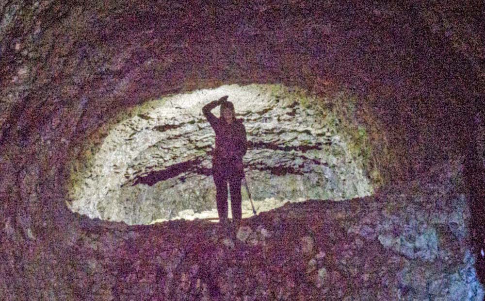
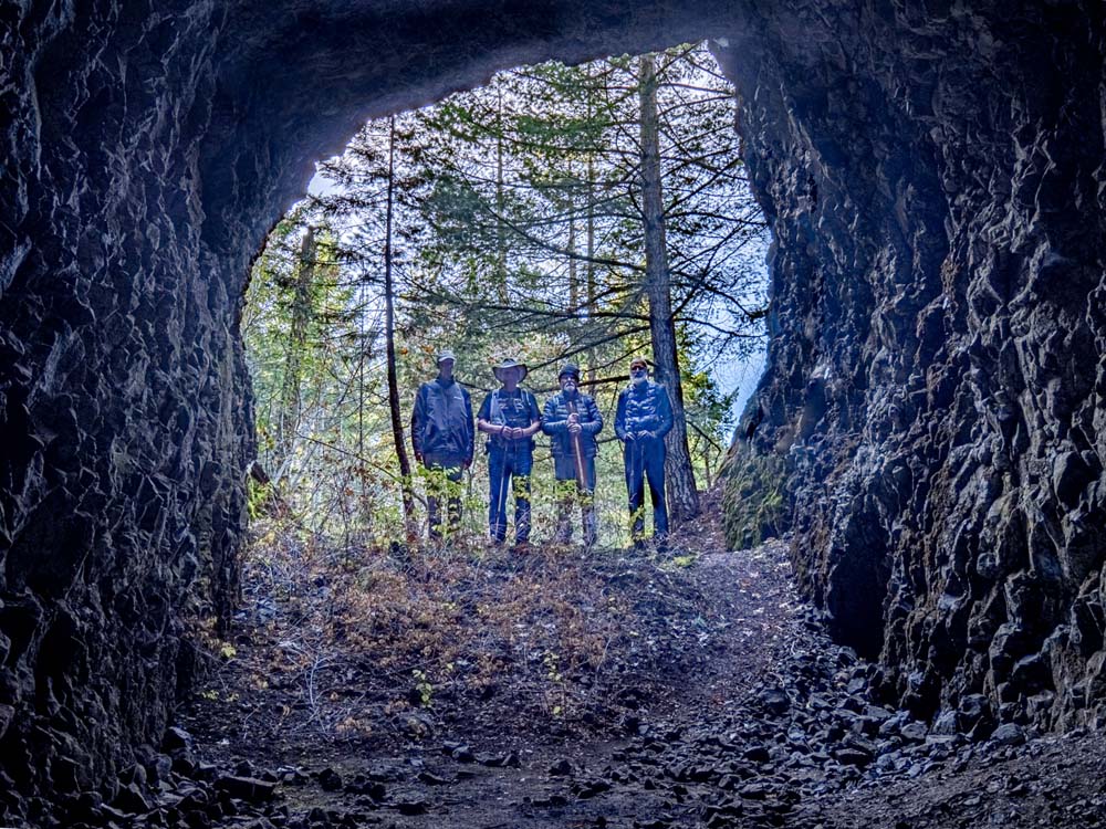
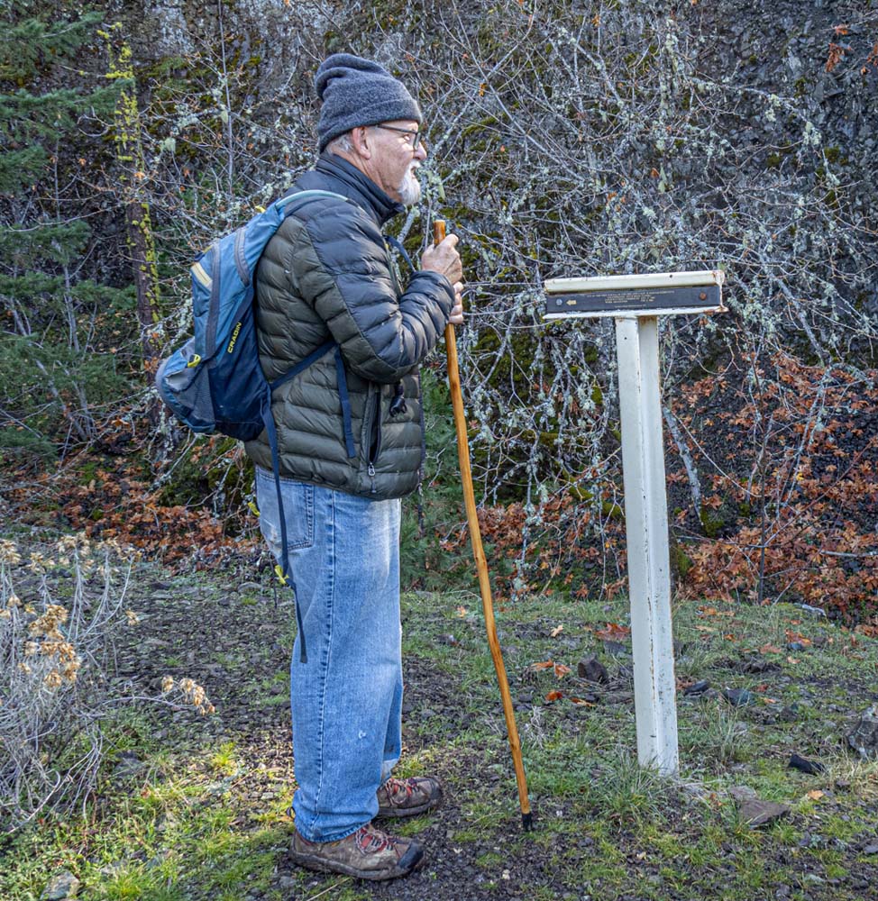
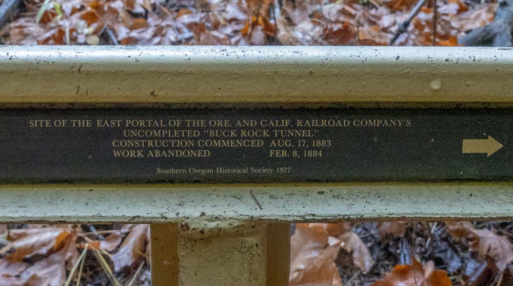
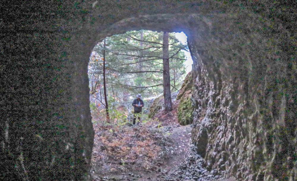
On this hike, we explored the abandoned tunnel project of the Oregon & California Railroad built in 1884 and the loop trail that went up to around 4,000′ adjacent to the Buck Rock summit before coming down near the west portal of the tunnel.

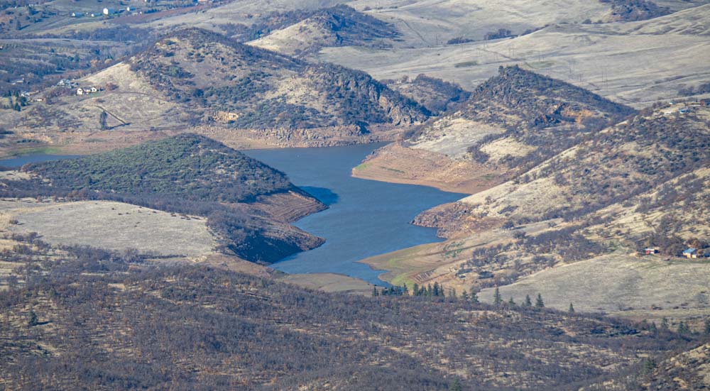
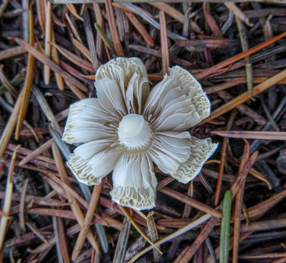
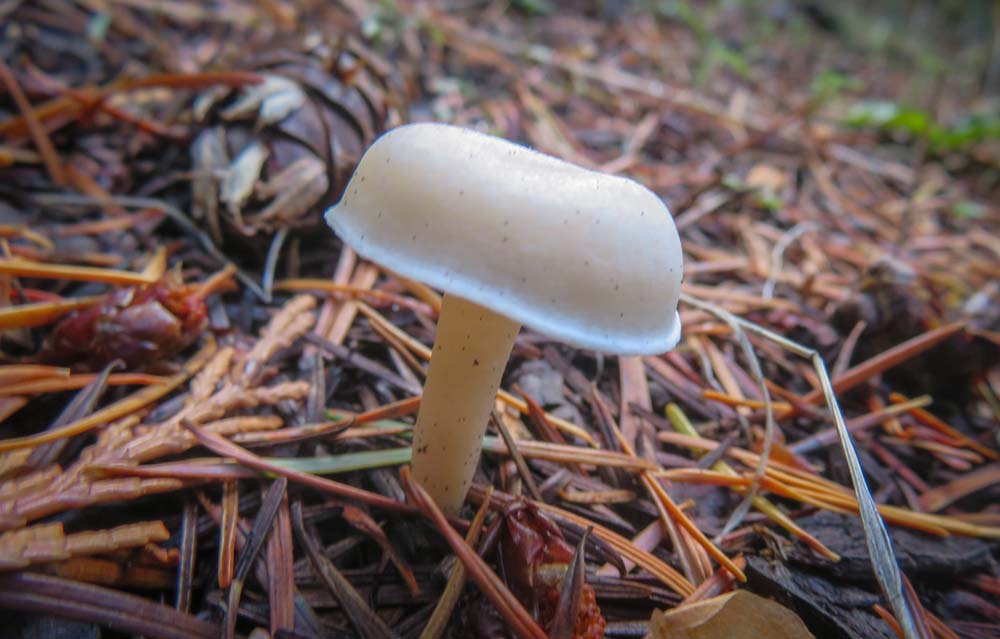
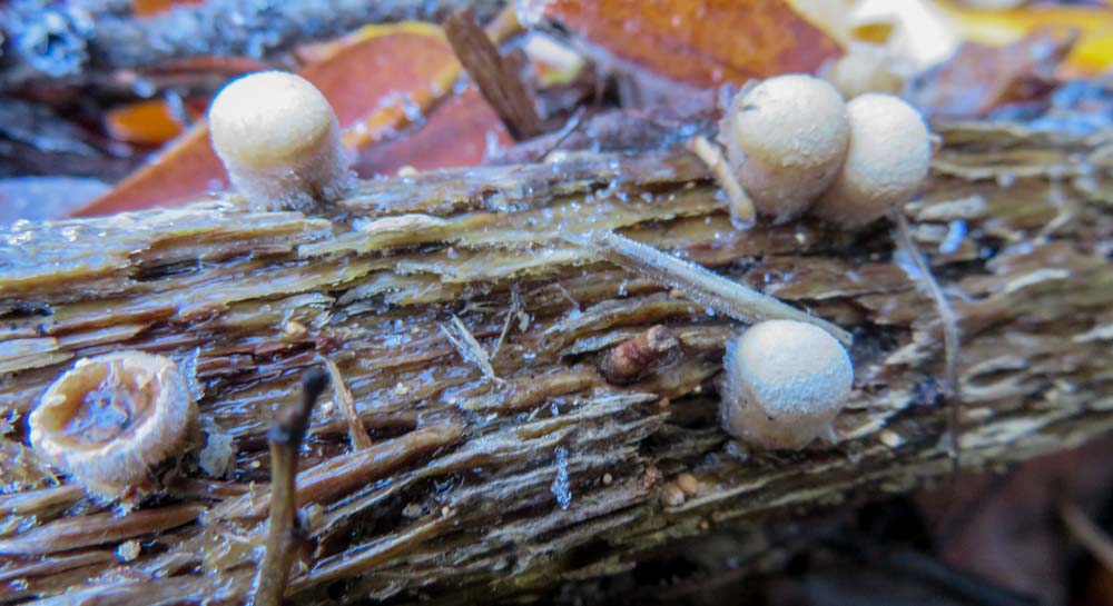
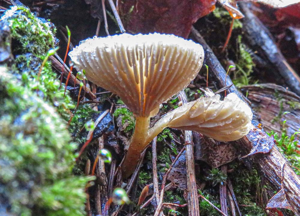
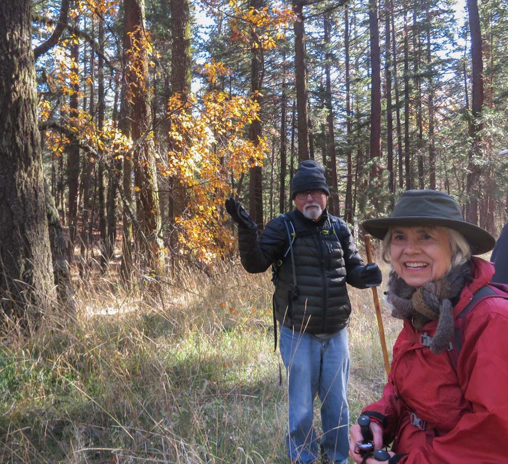
The trail was beautiful and serene with a gold carpet of Maple and Oak leafs, occasional views of green hills, and the sun coming through the forest.

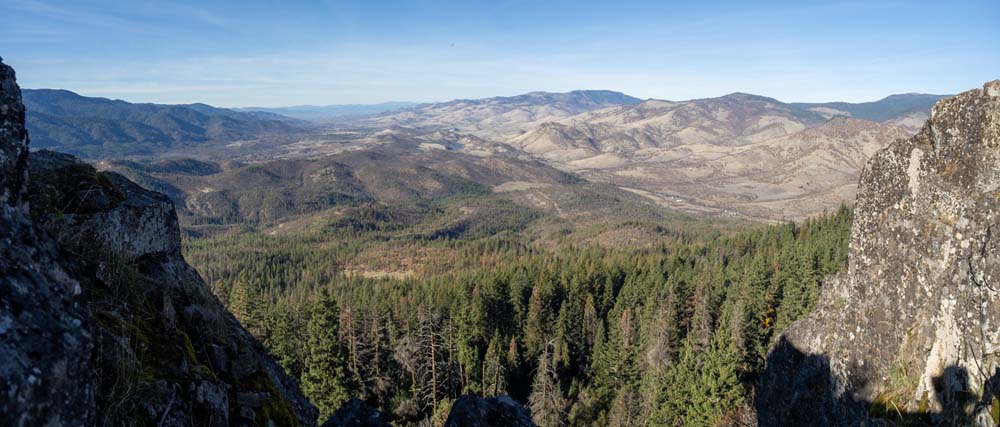
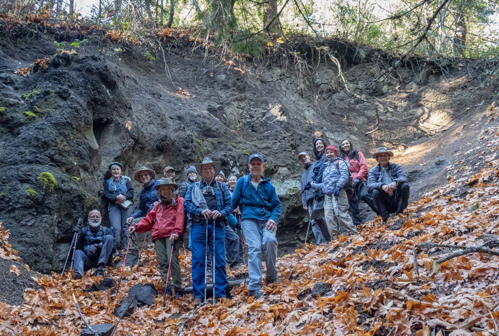
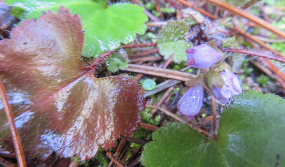
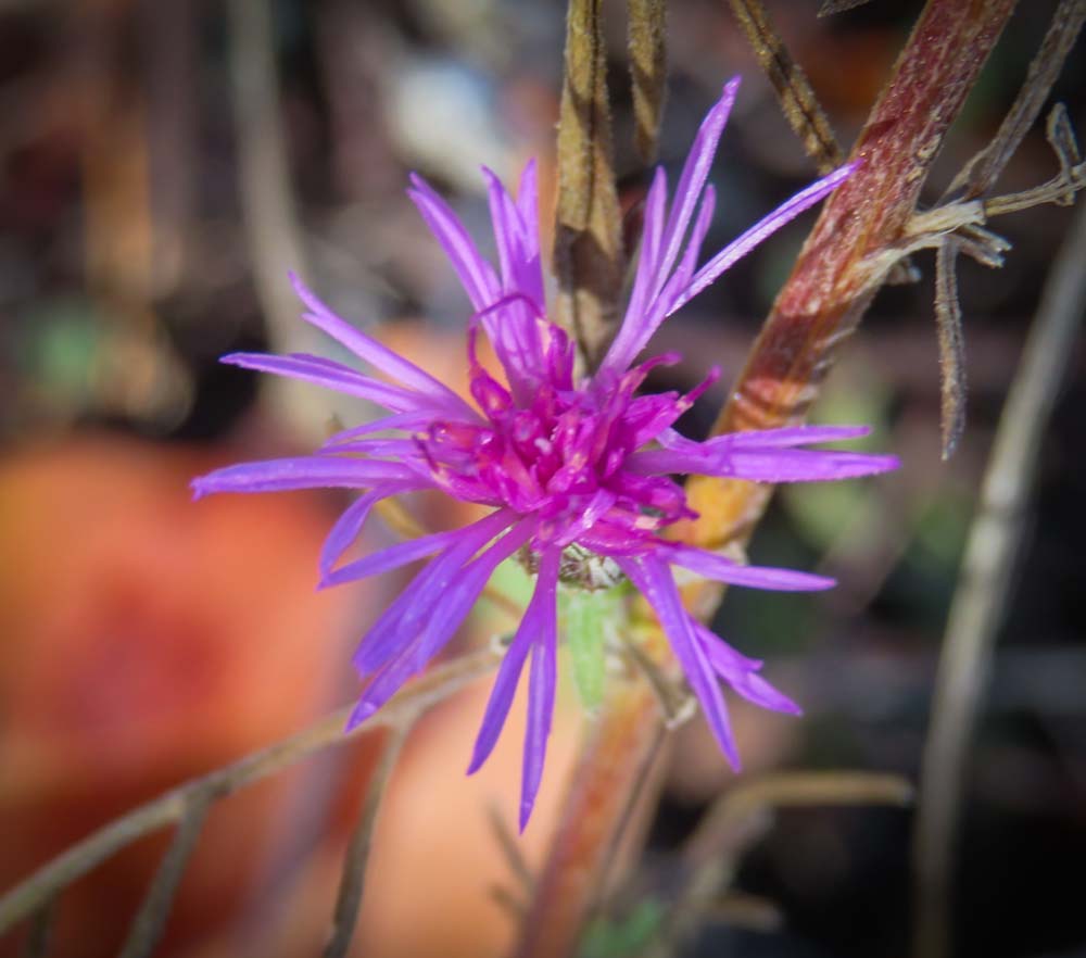
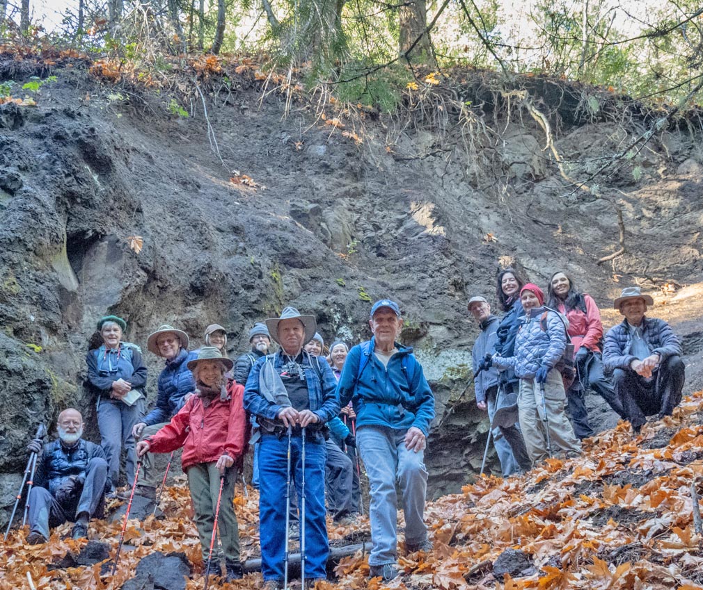
We found the east portal and climbed up to it for our group shot. Then we hiked out from where it was hidden in the forest and back to the main trail that headed up near the summit. On top, we were surprised to find some purple Asters blooming in late autumn as well as some yellow flowers.

We headed down the west side of the trail until we came to the arrow made of branches pointing to our turn-off for the more developed west portal of the tunnel project. This portal is about 20′ high and 15′ wide and goes back about 150′. We have had lunch there on past hikes, but with the sun out warming temps to 60 the group decided to climb up the north hillside of the tunnel for lunch with a view of I-5 heading up towards Siskiyou Pass.

After lunch, we waved goodbye to Jerry, Randy, and Linda who were heading back up to the summit to climb Buck Rock for its views of the valley. (Note: very limited space on top with only room for 3 or 4).

Back at the TH parking, after scraping the mud off our boots, some of us headed to Rogue Valley Roasting Co. for refreshments.

Next week we’ll head back to Grants Pass for a hike in the Cathedral Hills, followed by a stop for pie at Pennington Farms.

Note: After a meeting between AHG leaders and the Siskiyou Mountain Club you can now get a discount when you shop at their underground Outdoor Store at the corner of 3rd and Main St. Just identify yourself and an AHG member and fill out their ID clipboard.

Keep on Hiking,
Rich

Hike Leader: Rich Stickle

Photos By: Linda, Randy

Posted in Greensprings Area, Monday, Woods

Post navigation

← Older posts
Newer posts →
↑