↓
 
Ashland Hiking Group 
 
  • About Us
  • Posted Hikes
    • Recent
    • Monday
    • Wednesday
    • Friday
    • Friday Flower
  • Hike Schedules
    • Monday
      • Current
      • Previous
    • Wednesday
      • Current
      • Previous
    • Friday
      • Current
      • Previous
    • Friday Flower
      • Current
      • Previous
  • Locations
    • Lakes
      • Applegate Lake
      • Azalea Lake
      • Castle Lake
      • Crater Lake
      • Duck Lakes
      • East Boulder Lake
      • Emigrant Lake
      • Fish Lake
      • Kangaroo Lake
      • Lost Creek Lake
      • Mountain Lakes
      • Puck Lakes
      • Seven Lakes
      • Sky Lakes
      • Smith Lake
      • Squaw Lakes
      • Taylor Lake
    • PCT
      • Brown Mountain
      • Castle Crags
      • Cement Bluff
      • Etna Summit
      • Greensprings Area
      • Gumboot Boulder
      • Hyatt/Greensprings Summit
      • Hyatt Reservoir
      • Mt Ashland Area
      • Pilot Rock Area
      • Porcupine Lake
      • Red Buttes
    • Rivers & Streams
      • Elk Creek
      • Frog Pond
      • Kelsey Creek
      • Lower Rogue
      • Mill Creek Falls
      • Sacramento River
      • Squaw Valley Creek
      • Upper Rogue
      • Taylor Creek
    • Snow Shoes
      • Buck Prairie
      • Crater Lake
      • Deadwood
      • Great Meadow
      • Grouse Gap
      • Hyatt Lake
      • Moon Prairie
      • Mt Ashland
      • Mt Shasta
      • Pederson
      • Pilot Rock
      • Summit Sno-Park
    • Mountains & Summits
      • A>L
        • Abbot Butte
        • Anderson Butte
        • Arch Rock
        • Baldy Peak
        • Big Red Mountain
        • Bolt Mountain
        • Castle Crags
        • Collings Mountain
        • Frank Hill Road
        • Grayback Mountain
        • Grizzly Peak
        • Kerby Peak
      • M>Z
        • Mount Ashland
        • Mount Bailey
        • Mount Eddy
        • Mount Elijah
        • Mount Shasta
        • Pompadour Bluff
        • Roxy Ann
        • Squaw Peak
        • Stein Butte
        • Stukel Mountain
        • Table Rocks
        • Union Peak
        • Wagner Butte
    • Woods
      • Ashland City
      • Ashland Watershed
      • Bear Creek Greenway
      • Cathedral Hills
      • Denman Wildlife Refuge
      • East Applegate Ridge
      • Enchanted Forest
      • Greenhorn Park
      • Greensprings Area
      • High Lakes Trail
      • Horseshoe Ranch
      • Jack Ash
      • Jacksonville
      • Layton Mine Ditch
      • Pacifica
      • Sterling Mine Ditch
      • Steves 40 Acres
    • Miscellaneous
  • Images
    • Resize @ 1000H ,1000V & med before uploading
  • Log In

Post navigation

← Older posts
Newer posts →

Songer Butte and Quarry Trail

Ashland Hiking Group Posted on December 4, 2023 by Randy BryanApril 23, 2024

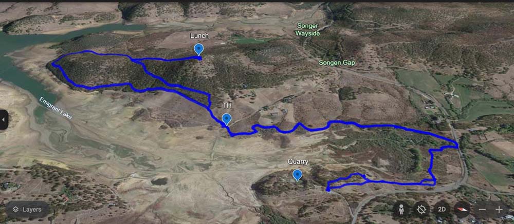
After 4 days of rain, we got a break and were able to complete two hikes at Emigrant Lake under partially cloudy skies.

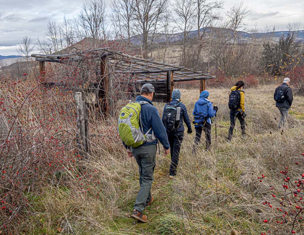
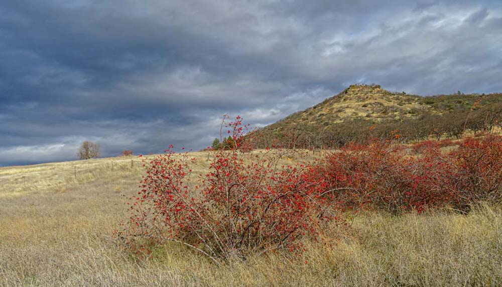
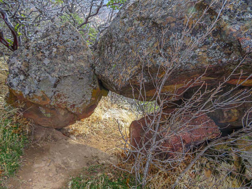
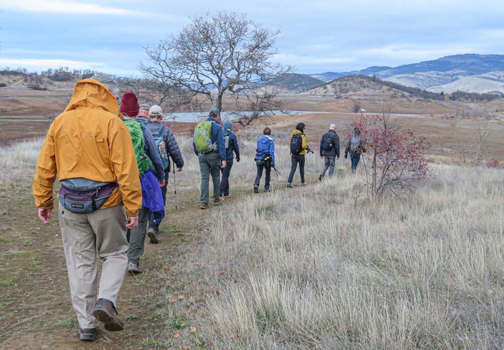
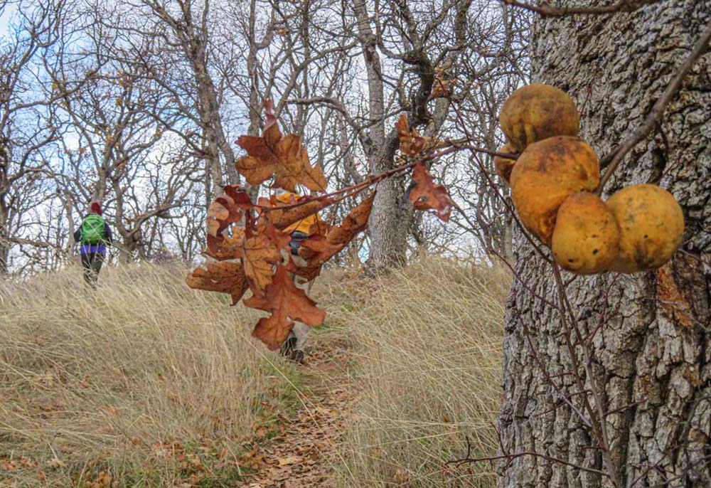
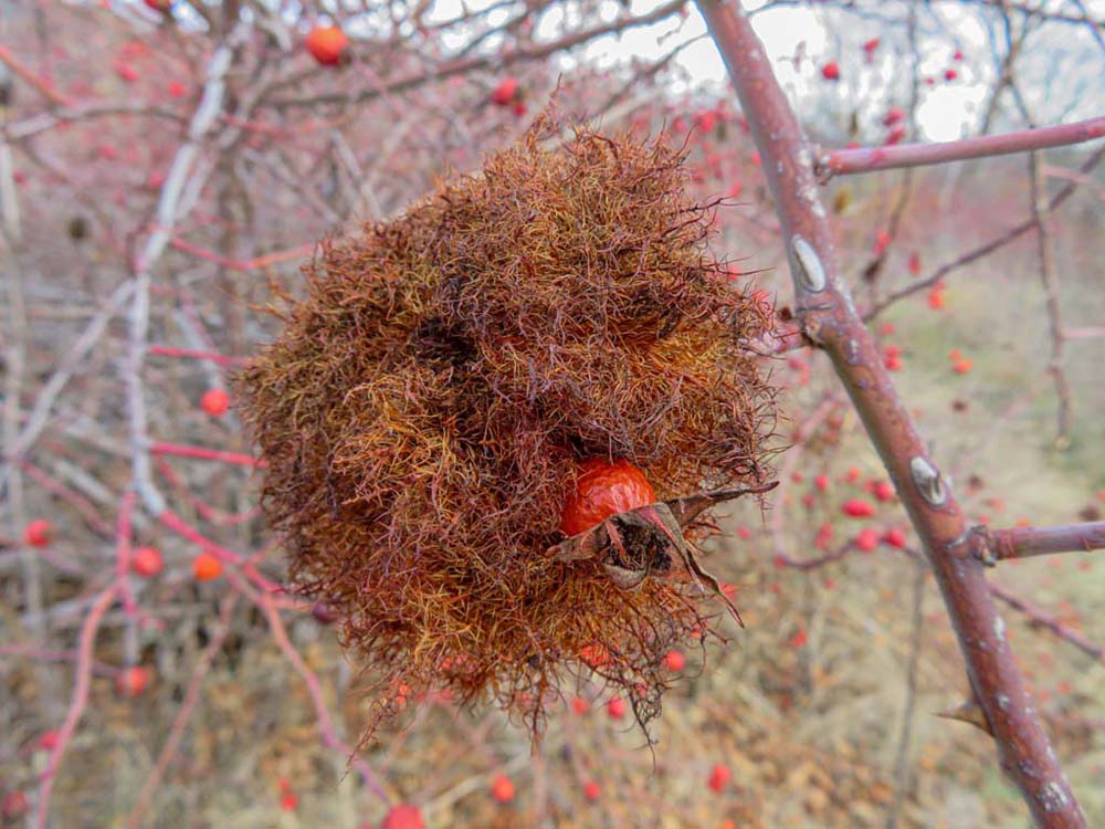
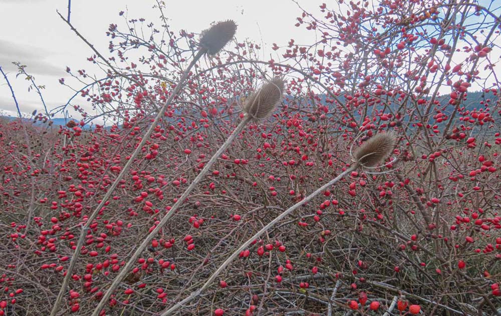
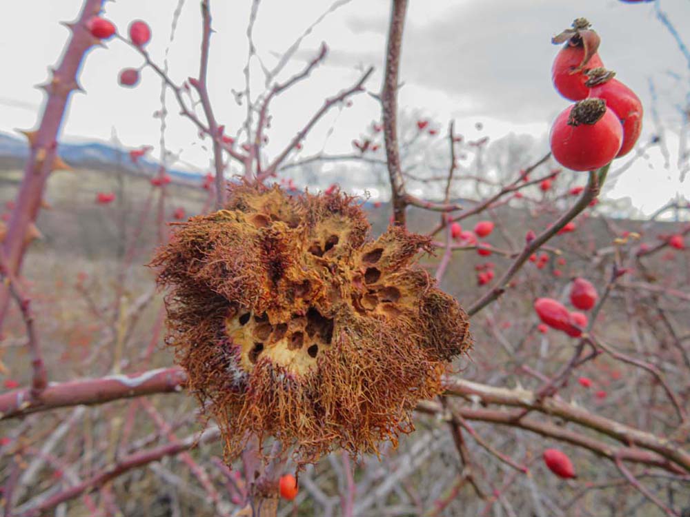
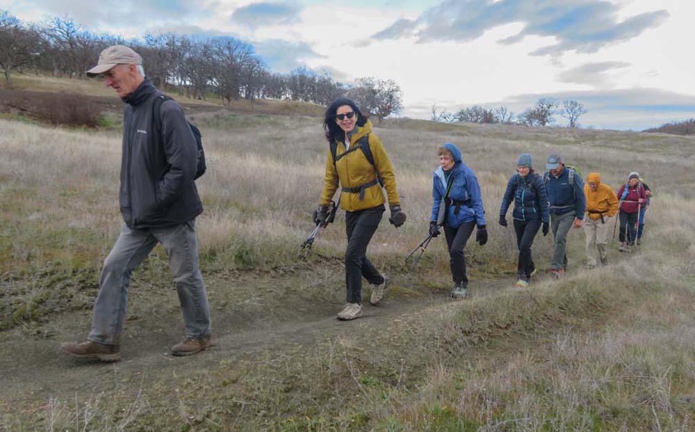
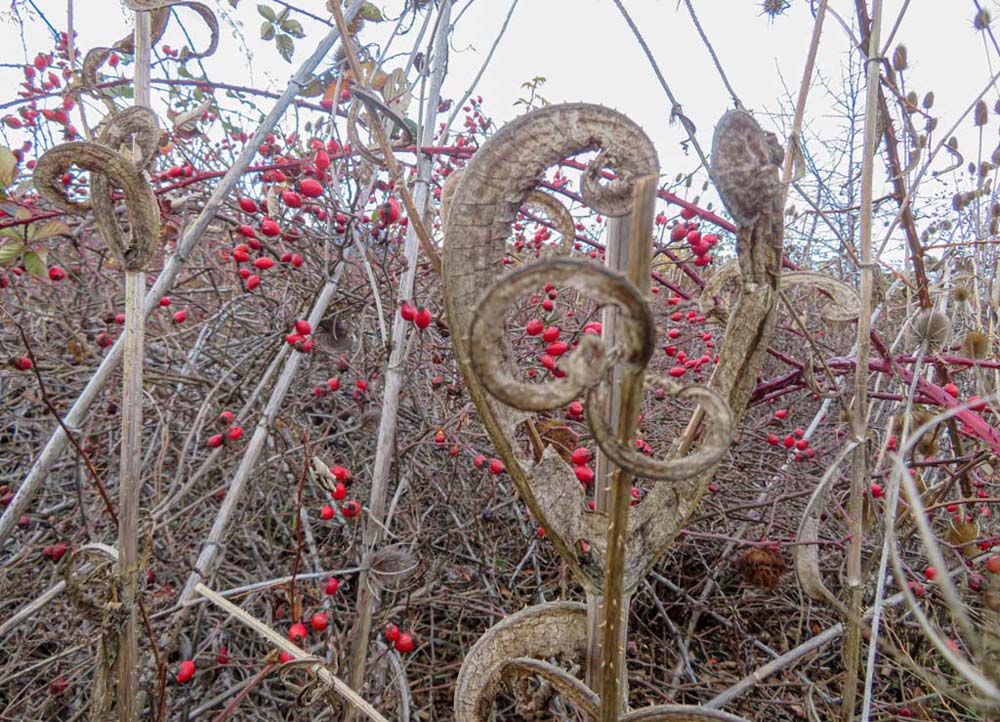
Temperatures were in the 50s with a brisk wind as we set out from parking for the Quarry Trail hike across the road. The trail runs parallel to the Greensprings Spur road and back towards Highway 66 along the dried lake shoreline. We saw some late-season plants along the trail including long-stemmed Teasels and countless wild rose shrubs now showing their bright red rose hips. A discovery was fuzzy balls at the end of the rose shrub branches. For now, we are calling them wild rose galls, somewhat similar to Oak galls; possibly formed by the sting of local Hornets.

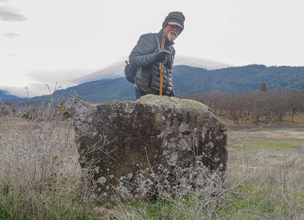
We followed the trail up to a hilltop where many in our group of 13 were mystified by what they saw. Metal stands with chains hanging down spaced around the hilltop and down in the meadow. Were these grave markers or transmitters for UFOs? Ha! No, these were the holes for a disc or Frisbee golf course. With a good aim, the Frisbee hits the chain and then falls into the basket below for the score. Many in the group were incredulous never having heard of such an activity.

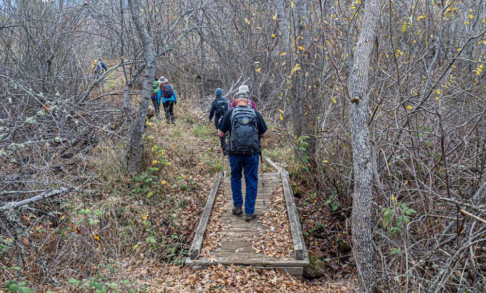
We finished that first stretch of the trail at the parking lot for the course, then headed back through the meadow.

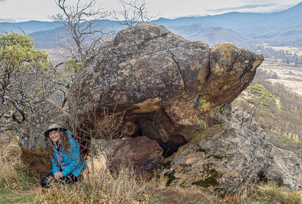
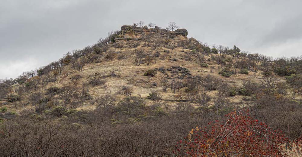
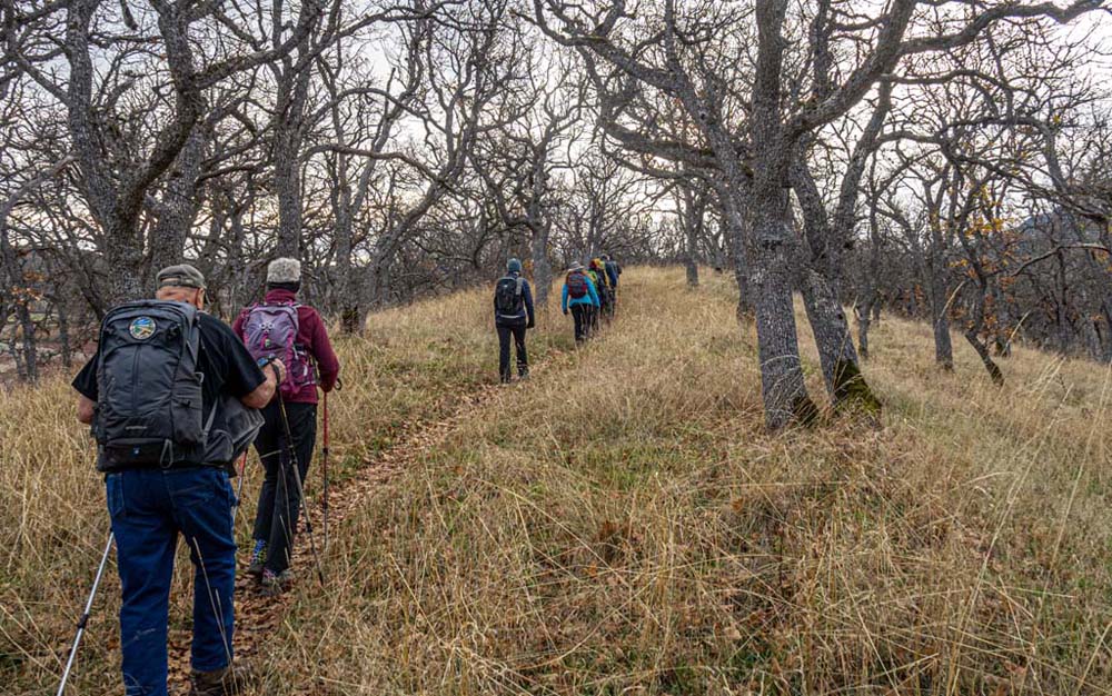
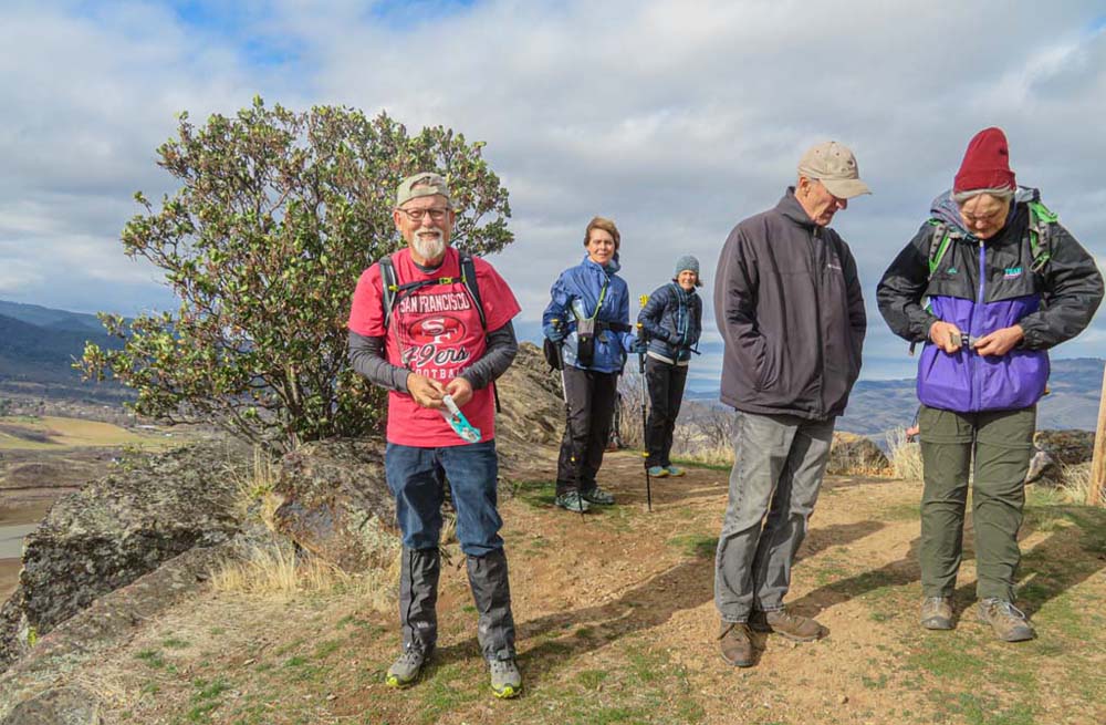
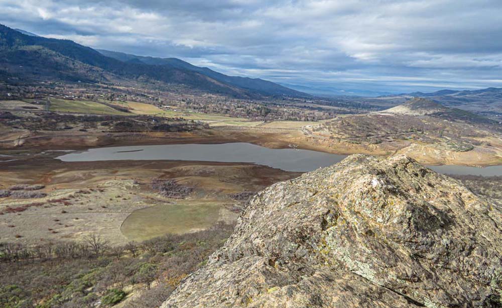
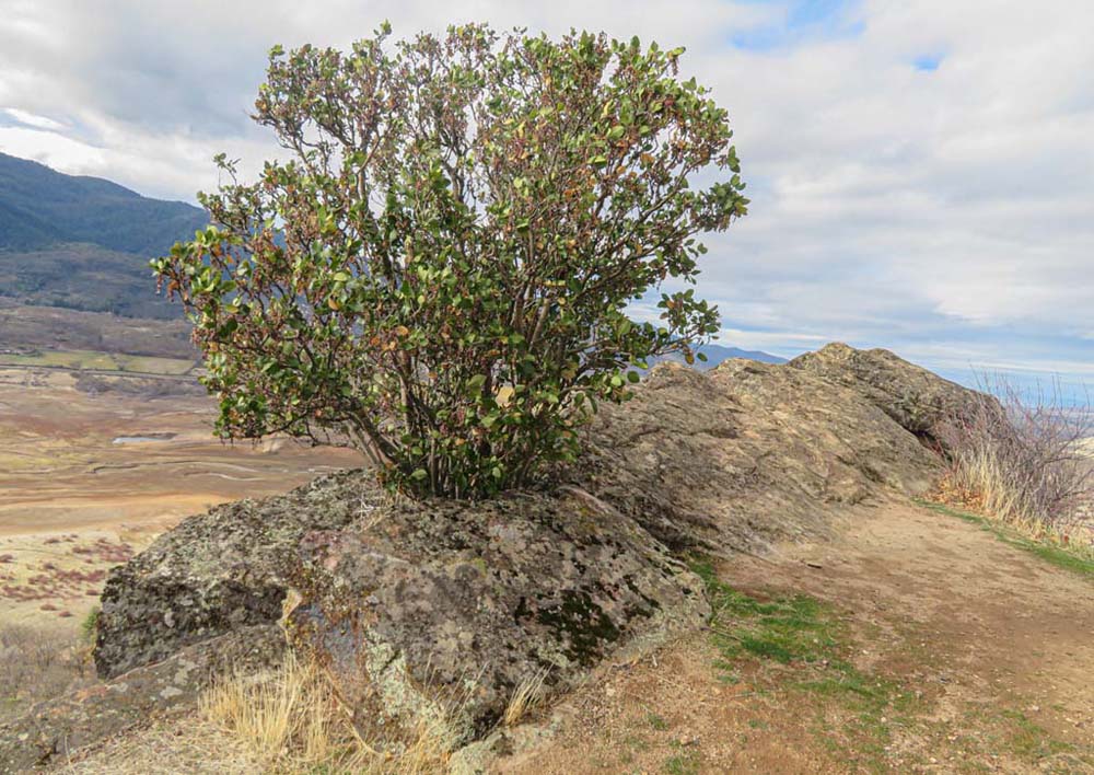
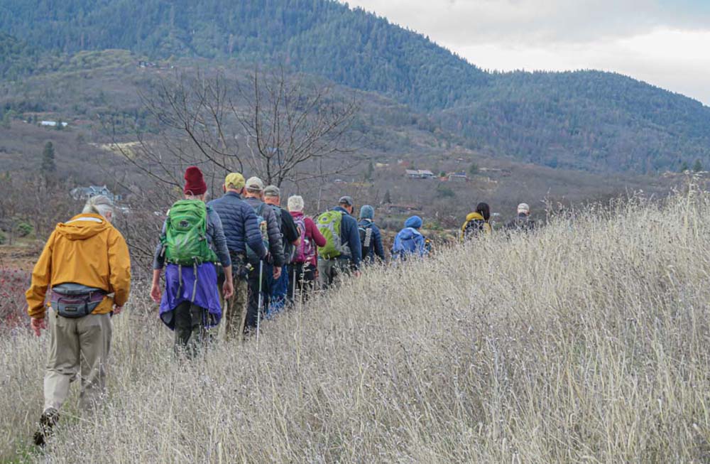
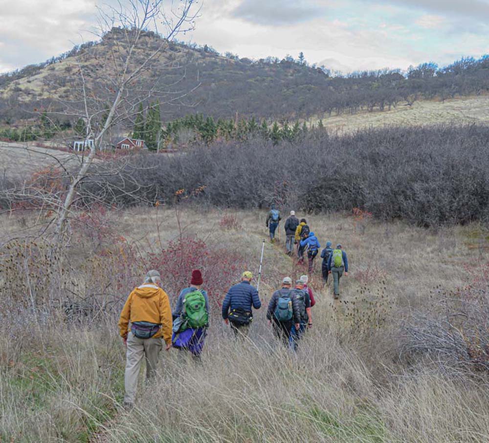
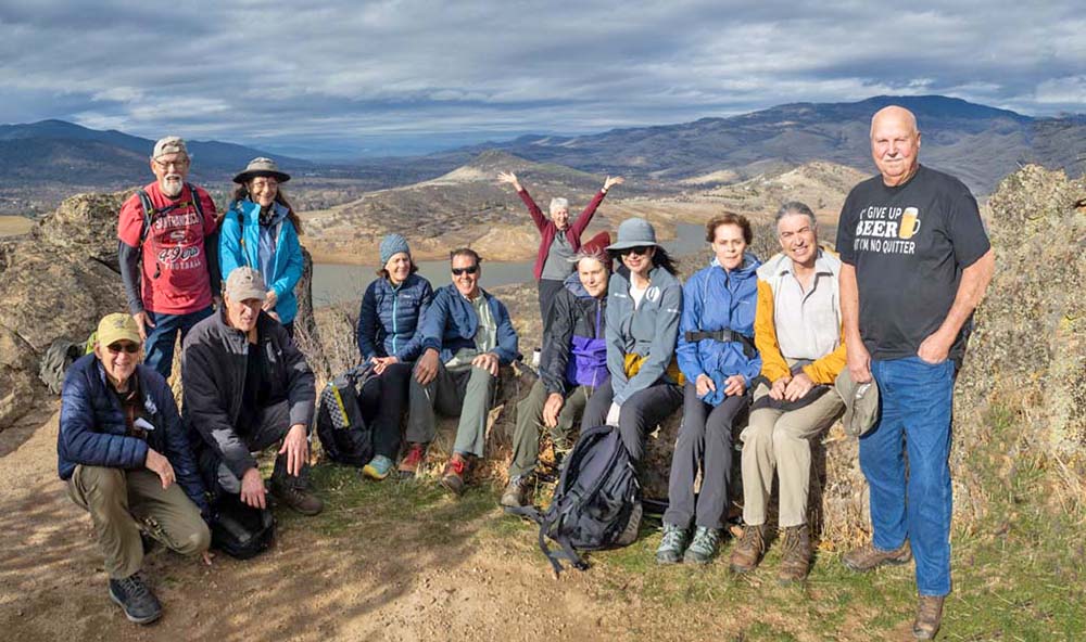
After a rest stop back at our original parking lot, we headed east on the Spur Trail and south towards Songer Butte. The group was in good spirits with the sun now out lighting up the way to the summit. The wind and sun had blow-dried the steep trail up to Songer making the 600′ of elevation gain less slippery. From the top of Songer Butte (2,700′) we had 360-degree views of the lake, the valley, and the surrounding mountains.

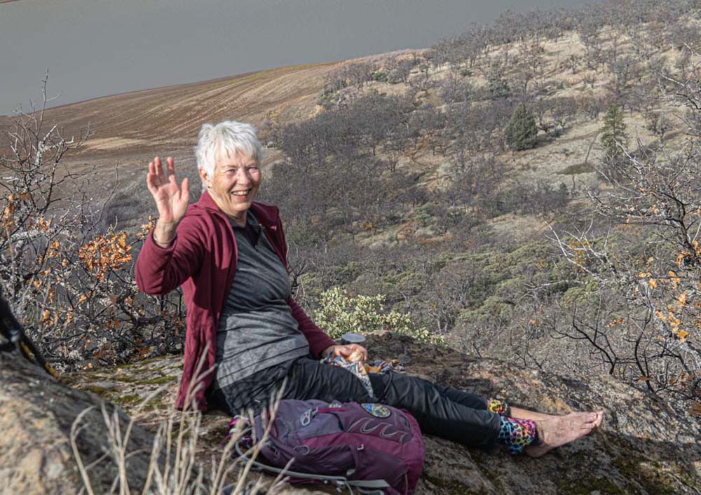
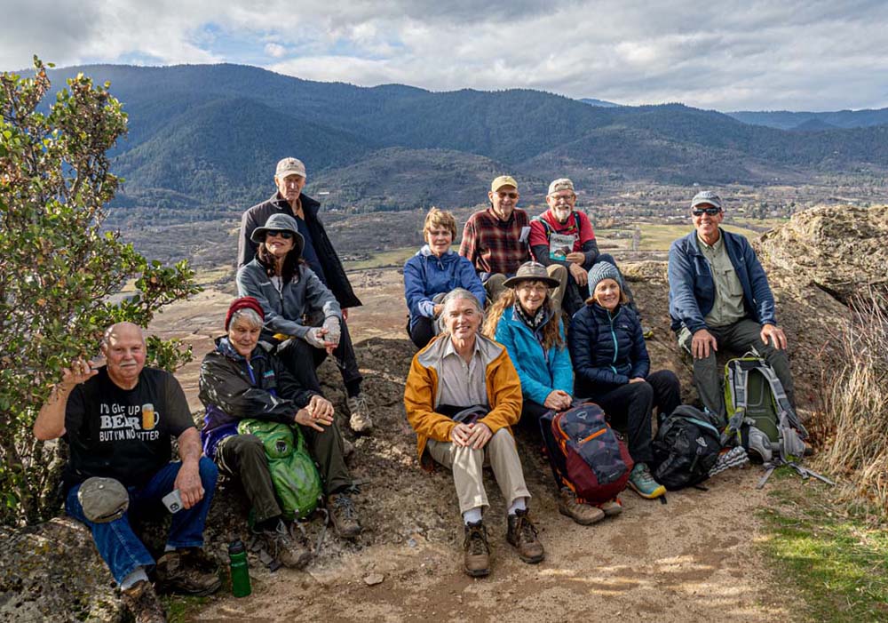
It was a wind-blown lunch and a wind-blown group shot, but I saw happy faces as we were able to summit Songer with a break in the rainy weather.

For the day, with the two hikes we covered 6.7 miles with 800′ of gain.

On the way down we found a shortcut to parking and many of us enjoyed refreshments at the Rogue Valley Roasting Co. post-hike.

Next Monday, we’ll journey to Takelma Gorge on the Upper Rogue River (9 am from Rite Aid).

Hike Leader: Rich Stickle

Photos By: Linda, Randy

Posted in Emigrant Lake, Lakes, Monday

Post navigation

← Older posts
Newer posts →
↑