↓
 
Ashland Hiking Group 
 
  • About Us
  • Posted Hikes
    • Recent
    • Monday
    • Wednesday
    • Friday
    • Friday Flower
  • Hike Schedules
    • Monday
      • Current
      • Previous
    • Wednesday
      • Current
      • Previous
    • Friday
      • Current
      • Previous
    • Friday Flower
      • Current
      • Previous
  • Locations
    • Lakes
      • Applegate Lake
      • Azalea Lake
      • Castle Lake
      • Crater Lake
      • Duck Lakes
      • East Boulder Lake
      • Emigrant Lake
      • Fish Lake
      • Kangaroo Lake
      • Lost Creek Lake
      • Mountain Lakes
      • Puck Lakes
      • Seven Lakes
      • Sky Lakes
      • Smith Lake
      • Squaw Lakes
      • Taylor Lake
    • PCT
      • Brown Mountain
      • Castle Crags
      • Cement Bluff
      • Etna Summit
      • Greensprings Area
      • Gumboot Boulder
      • Hyatt/Greensprings Summit
      • Hyatt Reservoir
      • Mt Ashland Area
      • Pilot Rock Area
      • Porcupine Lake
      • Red Buttes
    • Rivers & Streams
      • Elk Creek
      • Frog Pond
      • Kelsey Creek
      • Lower Rogue
      • Mill Creek Falls
      • Sacramento River
      • Squaw Valley Creek
      • Upper Rogue
      • Taylor Creek
    • Snow Shoes
      • Buck Prairie
      • Crater Lake
      • Deadwood
      • Great Meadow
      • Grouse Gap
      • Hyatt Lake
      • Moon Prairie
      • Mt Ashland
      • Mt Shasta
      • Pederson
      • Pilot Rock
      • Summit Sno-Park
    • Mountains & Summits
      • A>L
        • Abbot Butte
        • Anderson Butte
        • Arch Rock
        • Baldy Peak
        • Big Red Mountain
        • Bolt Mountain
        • Castle Crags
        • Collings Mountain
        • Frank Hill Road
        • Grayback Mountain
        • Grizzly Peak
        • Kerby Peak
      • M>Z
        • Mount Ashland
        • Mount Bailey
        • Mount Eddy
        • Mount Elijah
        • Mount Shasta
        • Pompadour Bluff
        • Roxy Ann
        • Squaw Peak
        • Stein Butte
        • Stukel Mountain
        • Table Rocks
        • Union Peak
        • Wagner Butte
    • Woods
      • Ashland City
      • Ashland Watershed
      • Bear Creek Greenway
      • Cathedral Hills
      • Denman Wildlife Refuge
      • East Applegate Ridge
      • Enchanted Forest
      • Greenhorn Park
      • Greensprings Area
      • High Lakes Trail
      • Horseshoe Ranch
      • Jack Ash
      • Jacksonville
      • Layton Mine Ditch
      • Pacifica
      • Sterling Mine Ditch
      • Steves 40 Acres
    • Miscellaneous
  • Images
    • Resize @ 1000H ,1000V & med before uploading
  • Log In

Post navigation

← Older posts
Newer posts →

Woodruff Bridge to Takelma Gorge

Ashland Hiking Group Posted on December 11, 2023 by Randy BryanApril 23, 2024

Here’s an old hiker’s quote, “… when Mother Nature gives you a lemon, make lemonade!”

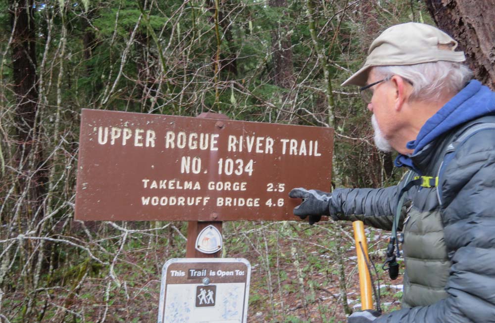
We drove up Highway 62 through low clouds and fog that caused drizzle on our windshields, but when we got to the TH for Takelma Gorge at Woodruff Bridge the mist had stopped and the temperature had warmed to the mid-40s.

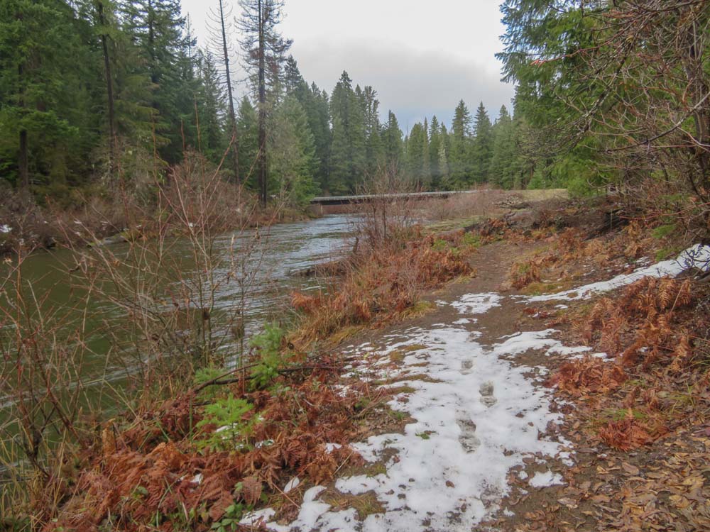
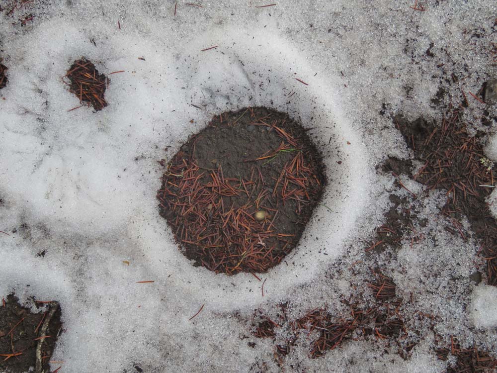
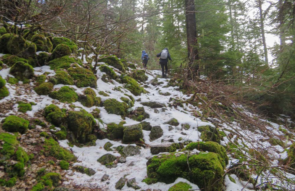
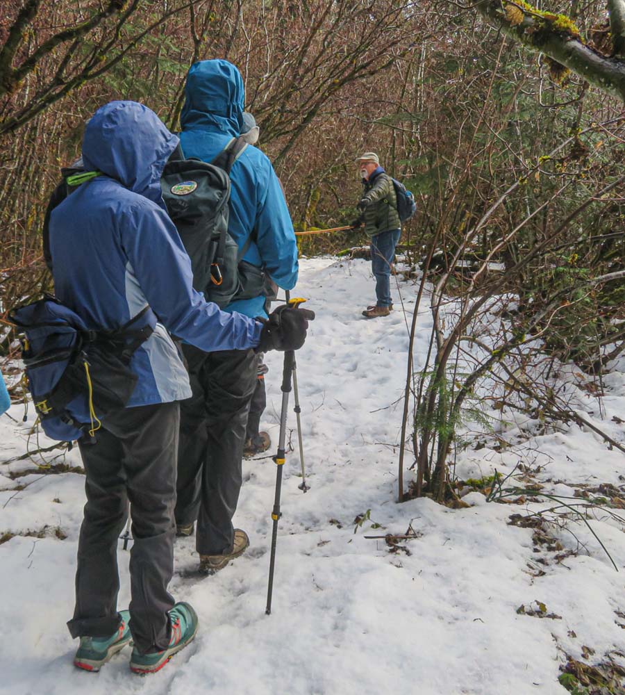
But to our surprise, a 3-inch coating of snow greeted us at the bridge parking and on the trail!

I must praise our Monday hikers as they were all business getting ready to hike, and no negative words were said as we started our hiking adventure.

Of course, we had no snowshoes or Yaktrax as we were not expecting snow. So we set off not knowing how far down the trail we could go. I was hoping we could make it to the scenic Takelma Gorge for lunch.
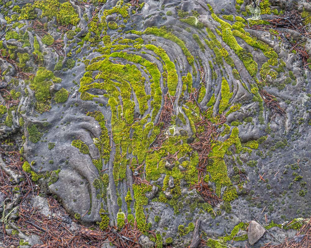
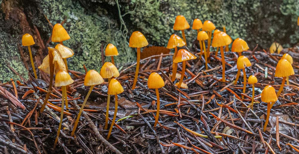
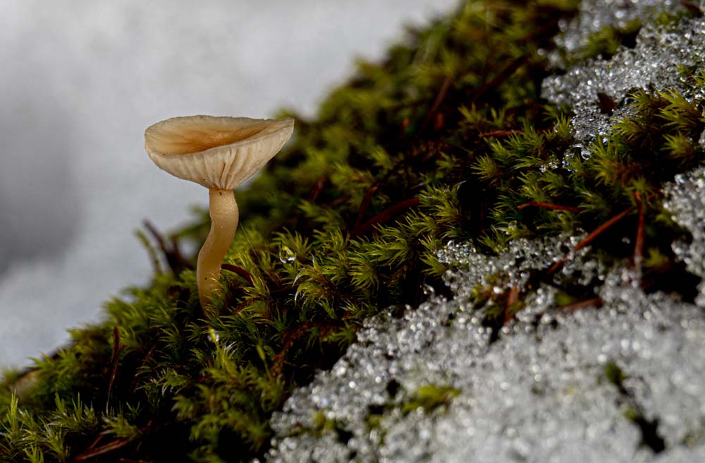
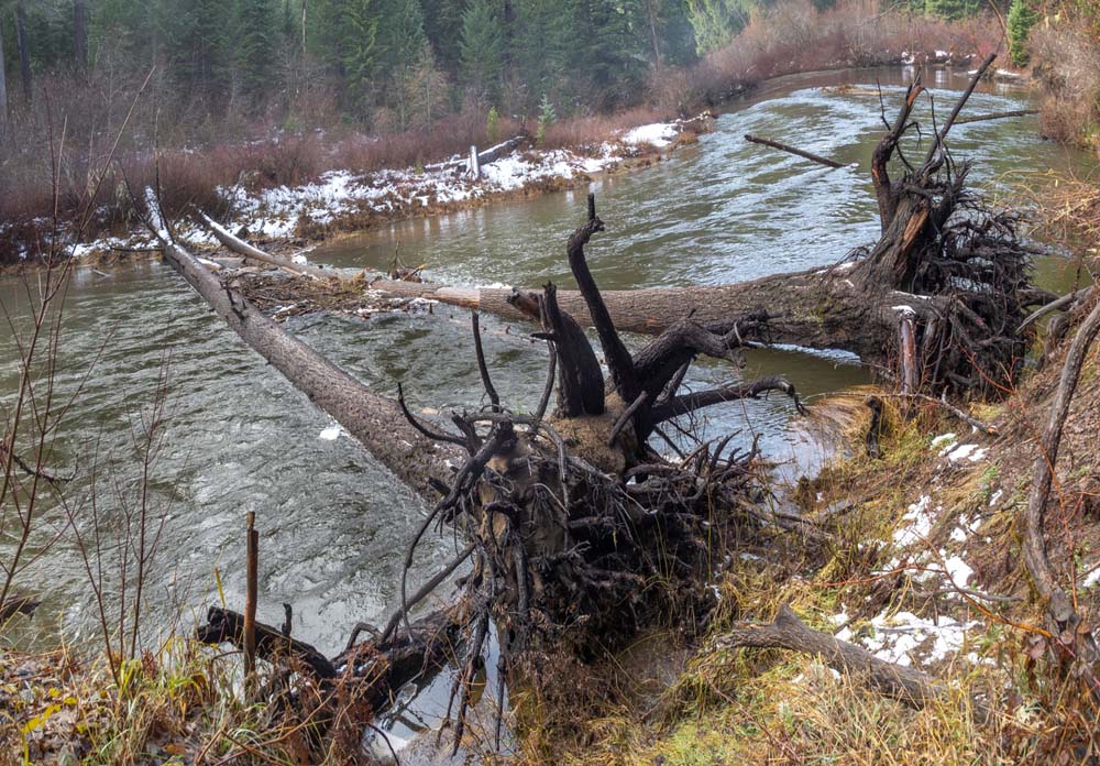
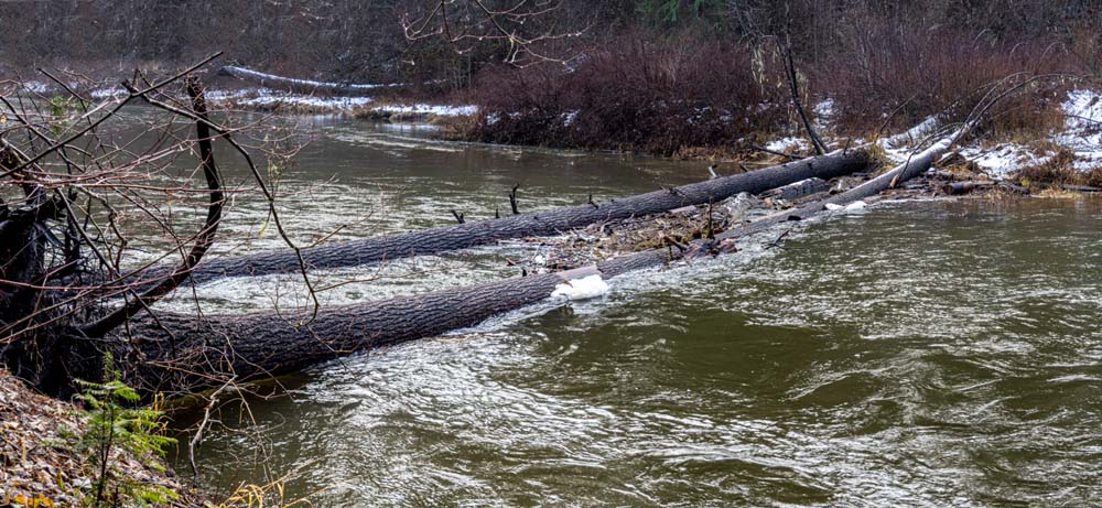
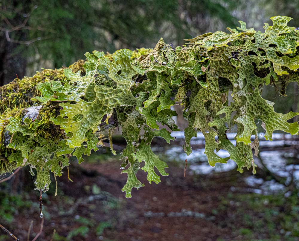
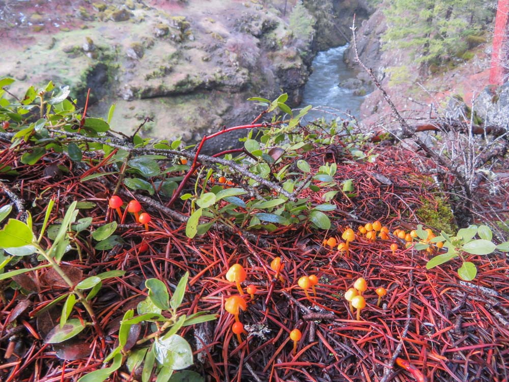
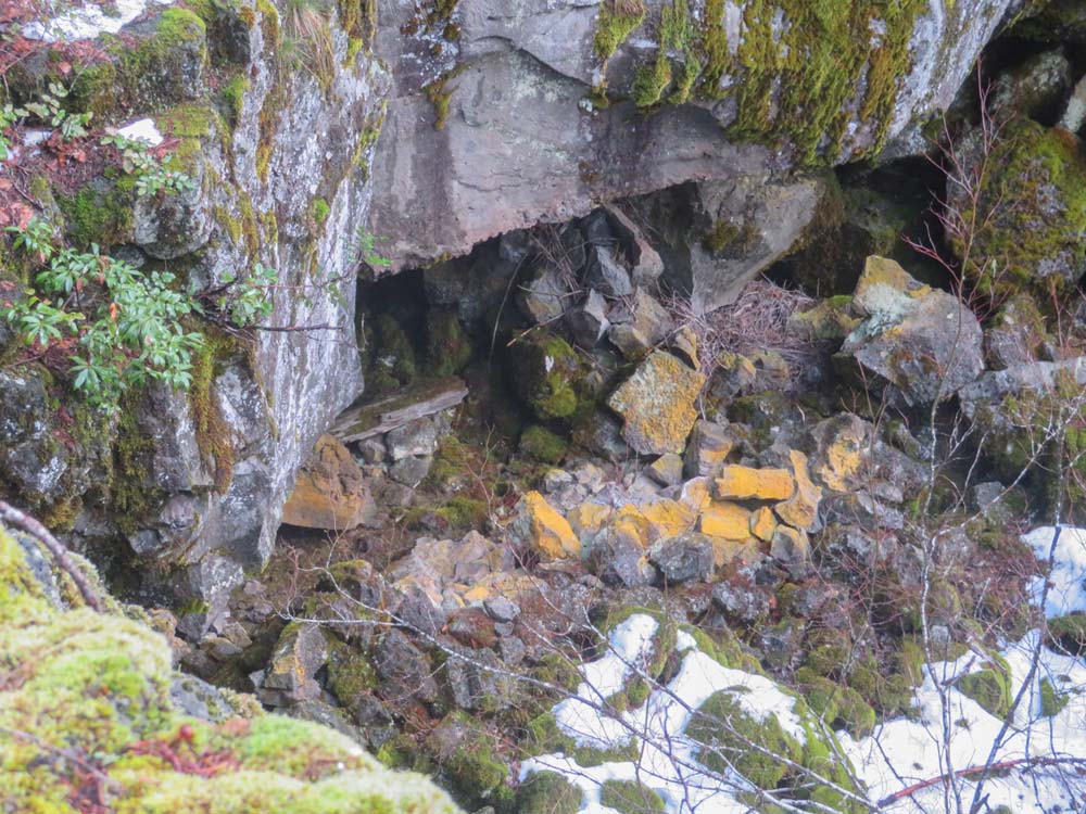
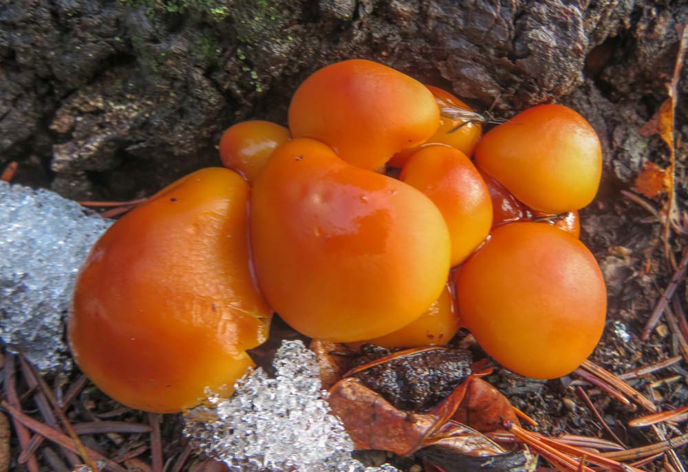
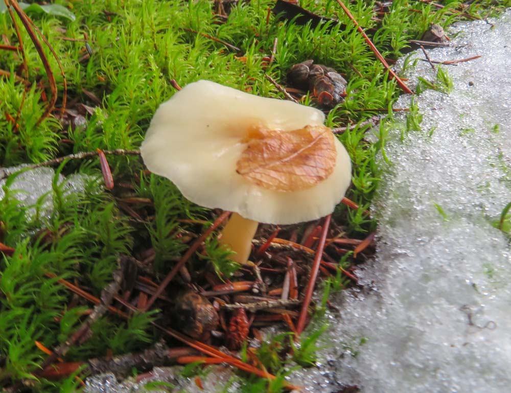
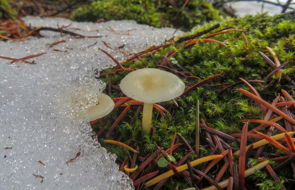
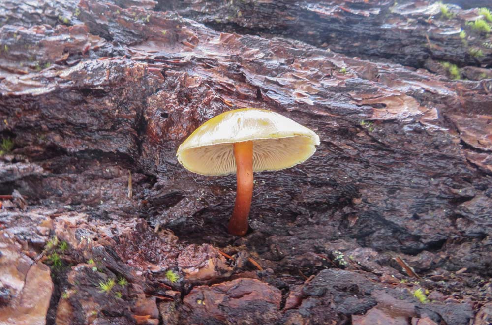
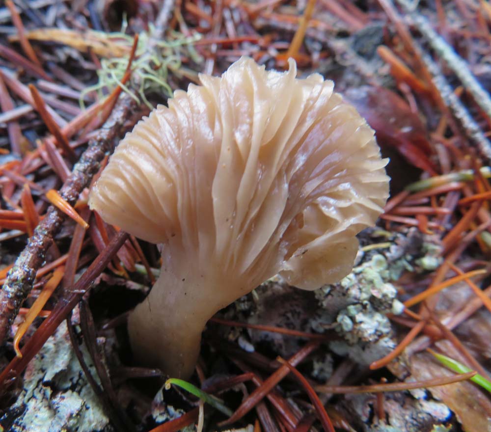
As it turned out the entire hike was scenic. The forest was glistening with green plant life from earlier moisture and the contrast against white snow made for brilliant scenes along the way.

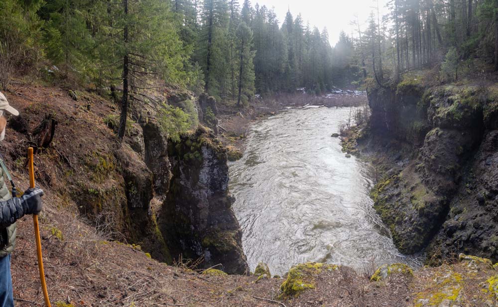
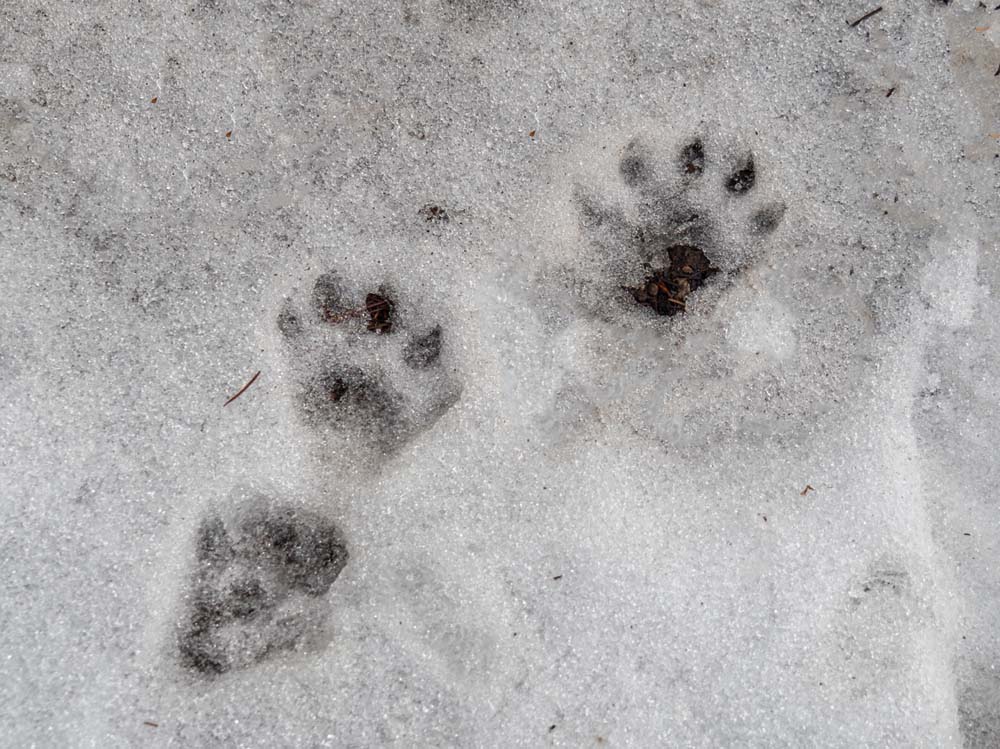
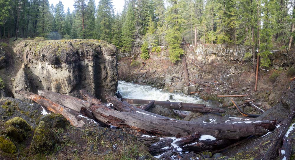
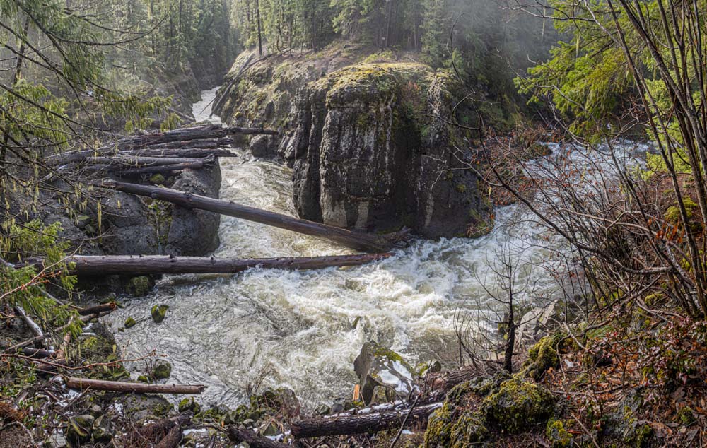
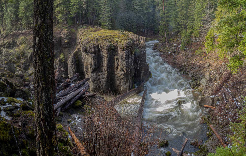
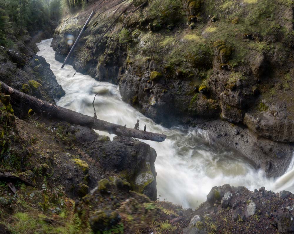
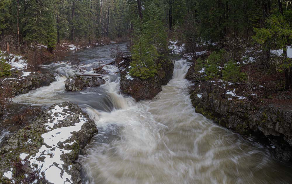
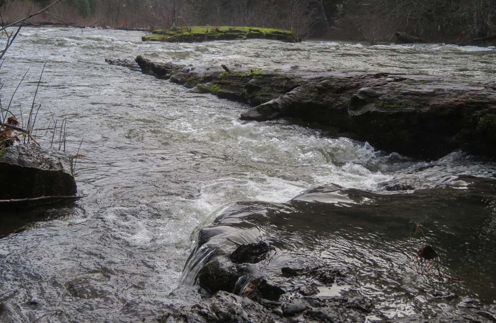
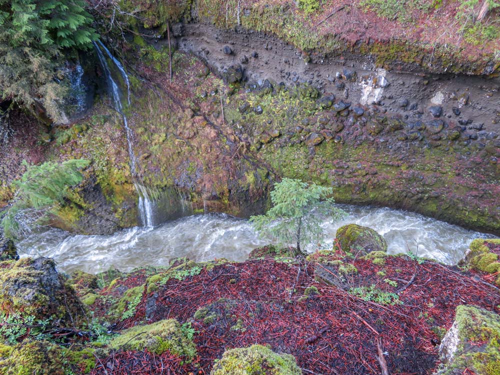
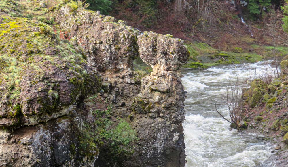
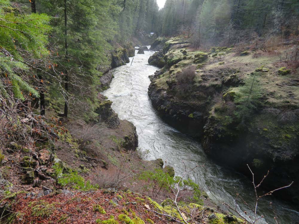
We found our way to Takelma Gorge following old footprints in the snow. We reached the Gorge just before noon for lunch. The clouds had broken and some blue skies and sunlight graced us the rest of the hike.

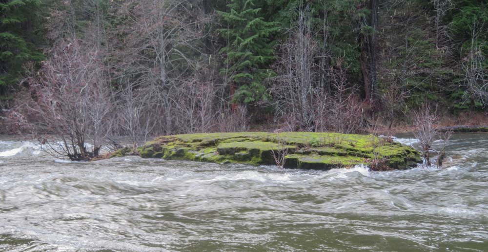
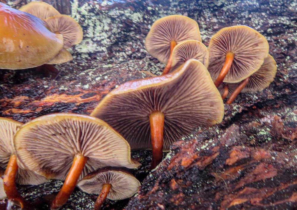
Our photographers gave wonderful pics of the forest plant life (mushrooms and lichen) and images of the Upper Rogue River between Woodruff Bridge and River Bridge, where we had parked a shuttle car.

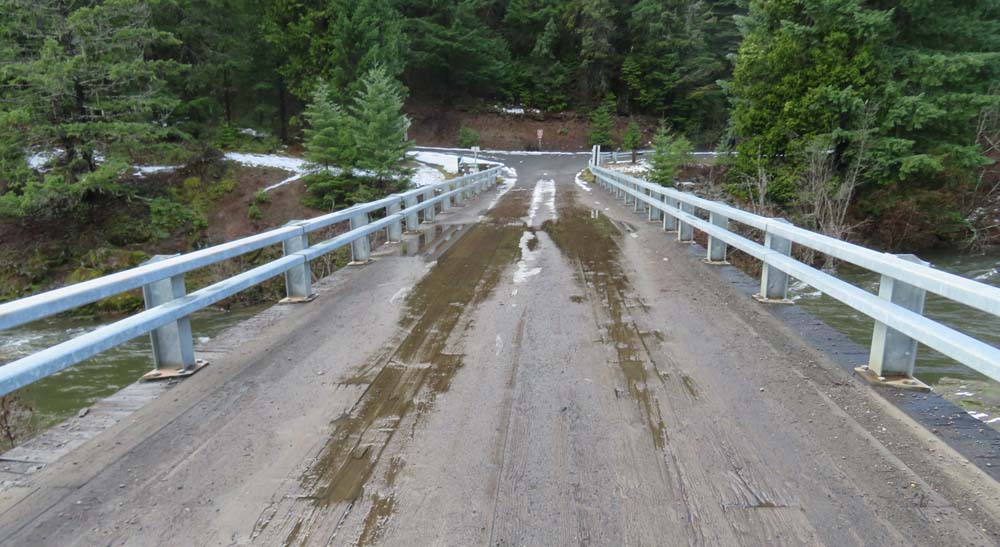
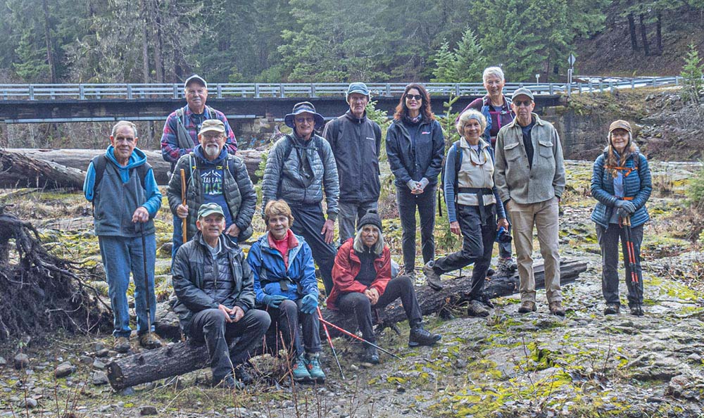
Our group shot was taken in front of River Bridge.

On this bonus snow day, our 13 hikers went 4.6 miles along the Upper Rogue River Trail #1034 and gained 200′ some over rocky old lava flows.

Next Monday, we’ll hike a loop in Lithia Park that includes the New Wonder Trail and have lunch on the Plaza. We’ll meet at the Bandshell parking at 9 am to start the hike. (No hike the following Monday, Christmas Day).

Hike Leader: Rich Stickle

Photos By: Randy, Linda

Posted in Monday, Rivers & Streams, Upper Rogue

Post navigation

← Older posts
Newer posts →
↑