↓
 
Ashland Hiking Group 
 
  • About Us
  • Posted Hikes
    • Recent
    • Monday
    • Wednesday
    • Friday
    • Friday Flower
  • Hike Schedules
    • Monday
      • Current
      • Previous
    • Wednesday
      • Current
      • Previous
    • Friday
      • Current
      • Previous
    • Friday Flower
      • Current
      • Previous
  • Locations
    • Lakes
      • Applegate Lake
      • Azalea Lake
      • Castle Lake
      • Crater Lake
      • Duck Lakes
      • East Boulder Lake
      • Emigrant Lake
      • Fish Lake
      • Kangaroo Lake
      • Lost Creek Lake
      • Mountain Lakes
      • Puck Lakes
      • Seven Lakes
      • Sky Lakes
      • Smith Lake
      • Squaw Lakes
      • Taylor Lake
    • PCT
      • Brown Mountain
      • Castle Crags
      • Cement Bluff
      • Etna Summit
      • Greensprings Area
      • Gumboot Boulder
      • Hyatt/Greensprings Summit
      • Hyatt Reservoir
      • Mt Ashland Area
      • Pilot Rock Area
      • Porcupine Lake
      • Red Buttes
    • Rivers & Streams
      • Elk Creek
      • Frog Pond
      • Kelsey Creek
      • Lower Rogue
      • Mill Creek Falls
      • Sacramento River
      • Squaw Valley Creek
      • Upper Rogue
      • Taylor Creek
    • Snow Shoes
      • Buck Prairie
      • Crater Lake
      • Deadwood
      • Great Meadow
      • Grouse Gap
      • Hyatt Lake
      • Moon Prairie
      • Mt Ashland
      • Mt Shasta
      • Pederson
      • Pilot Rock
      • Summit Sno-Park
    • Mountains & Summits
      • A>L
        • Abbot Butte
        • Anderson Butte
        • Arch Rock
        • Baldy Peak
        • Big Red Mountain
        • Bolt Mountain
        • Castle Crags
        • Collings Mountain
        • Frank Hill Road
        • Grayback Mountain
        • Grizzly Peak
        • Kerby Peak
      • M>Z
        • Mount Ashland
        • Mount Bailey
        • Mount Eddy
        • Mount Elijah
        • Mount Shasta
        • Pompadour Bluff
        • Roxy Ann
        • Squaw Peak
        • Stein Butte
        • Stukel Mountain
        • Table Rocks
        • Union Peak
        • Wagner Butte
    • Woods
      • Ashland City
      • Ashland Watershed
      • Bear Creek Greenway
      • Cathedral Hills
      • Denman Wildlife Refuge
      • East Applegate Ridge
      • Enchanted Forest
      • Greenhorn Park
      • Greensprings Area
      • High Lakes Trail
      • Horseshoe Ranch
      • Jack Ash
      • Jacksonville
      • Layton Mine Ditch
      • Pacifica
      • Sterling Mine Ditch
      • Steves 40 Acres
    • Miscellaneous
  • Images
    • Resize @ 1000H ,1000V & med before uploading
  • Log In

Post navigation

← Older posts
Newer posts →

New Wonder Trail

Ashland Hiking Group Posted on February 9, 2024 by Randy BryanApril 23, 2024

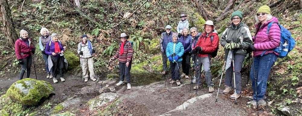
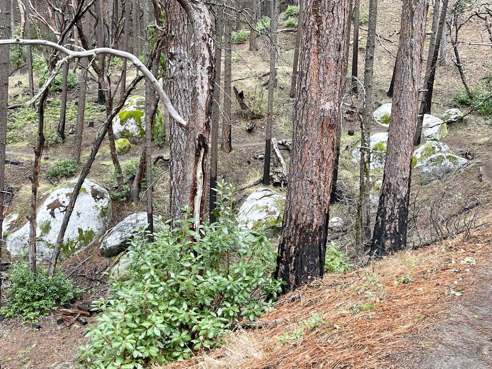
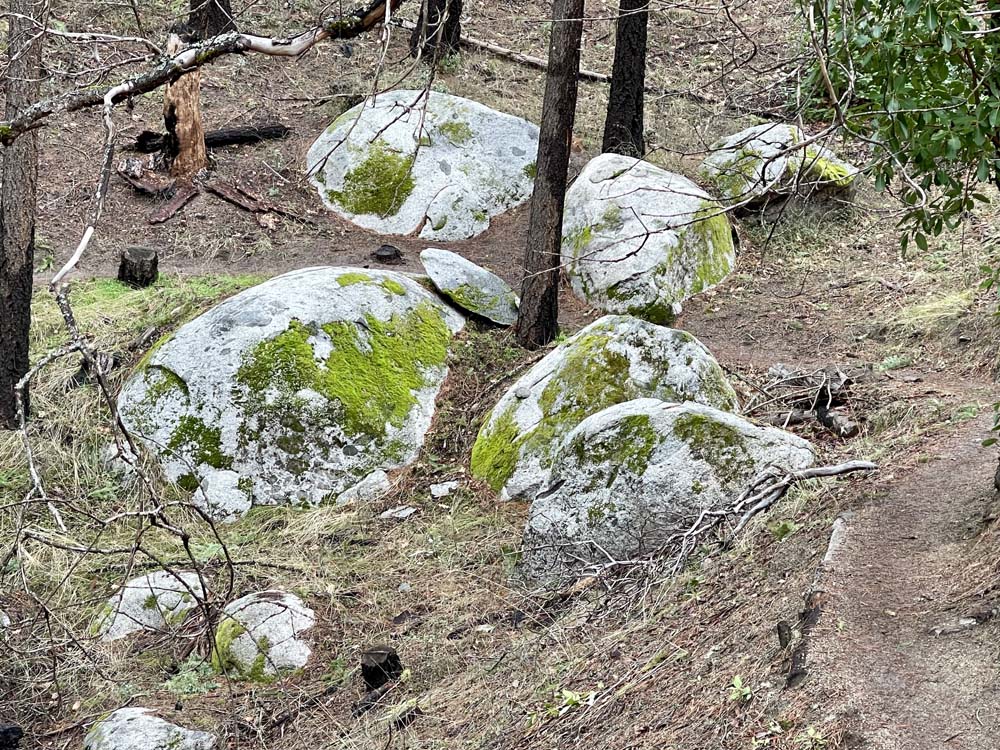
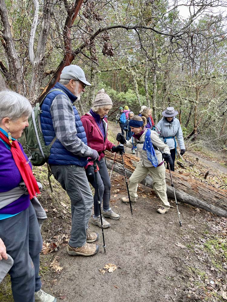
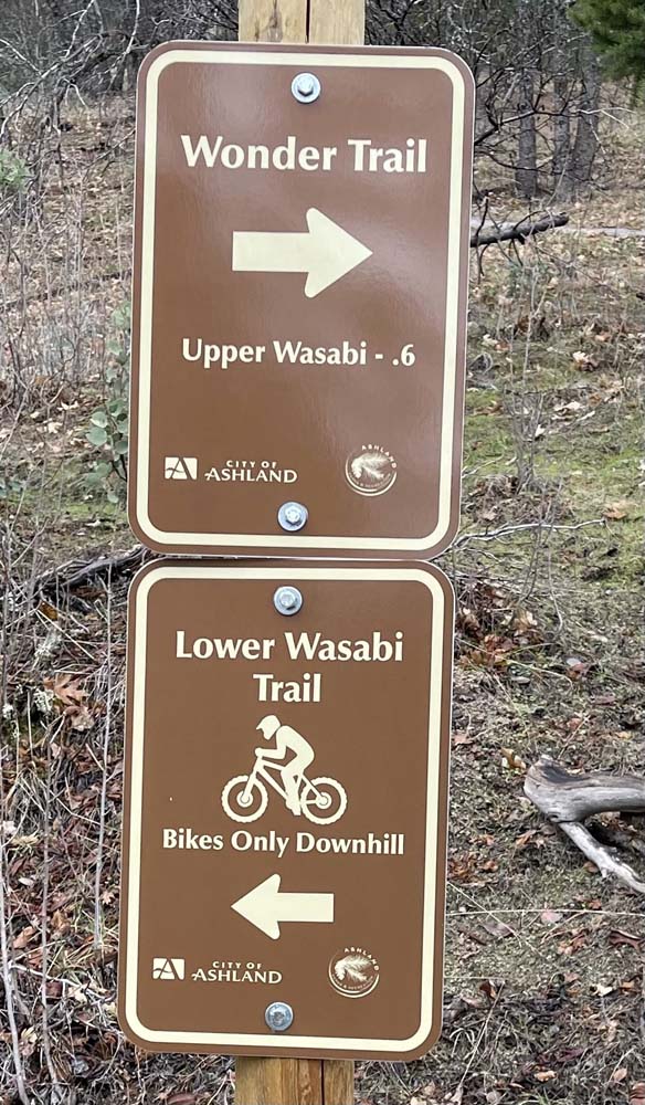
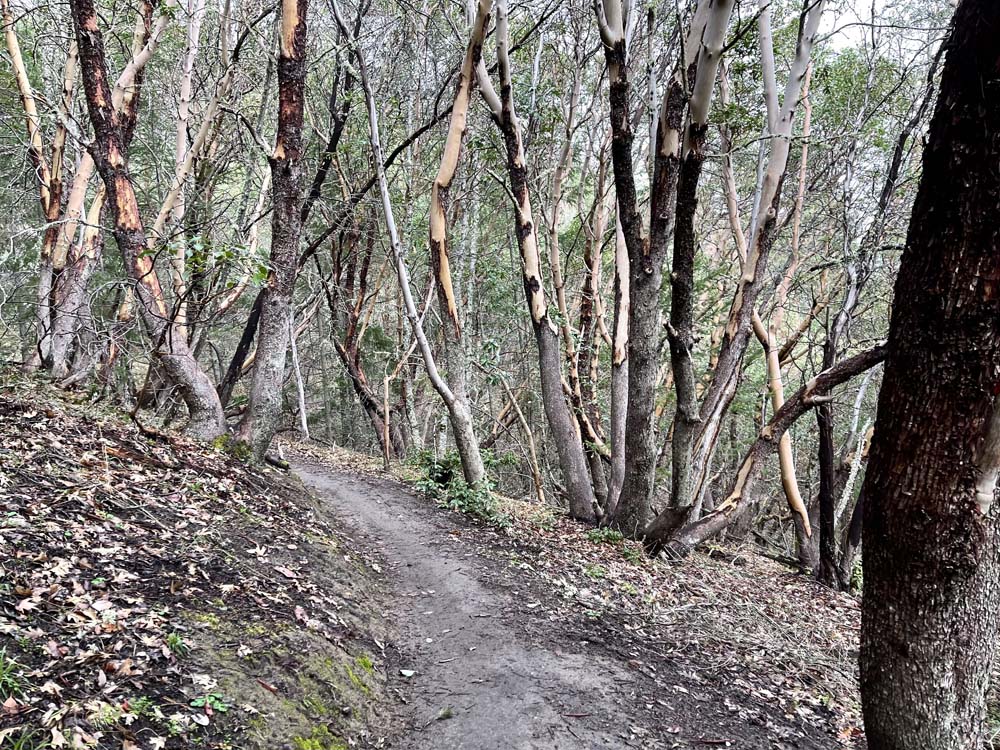
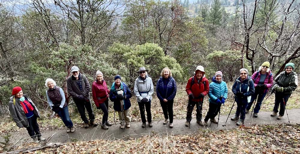
Thirteen (13) of us hiked up the Wonder Trail on a lovely winter day and came back down on the road. We welcomed and enjoyed our newest hiker, Penny. Most of us have this trail among our favorites in the watershed. It was good to introduce a couple veteran hikers to this trail.

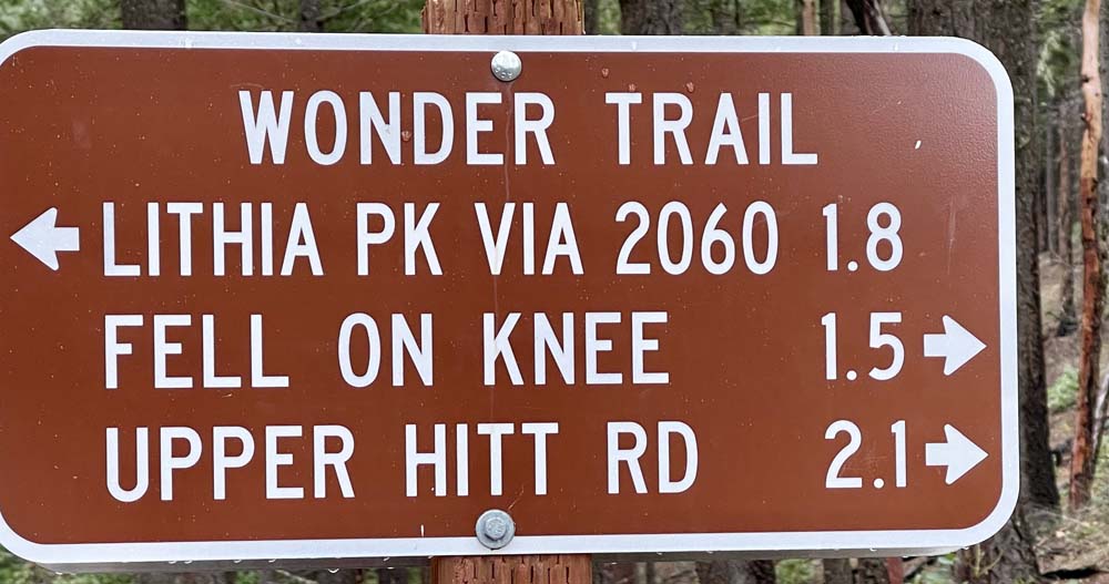
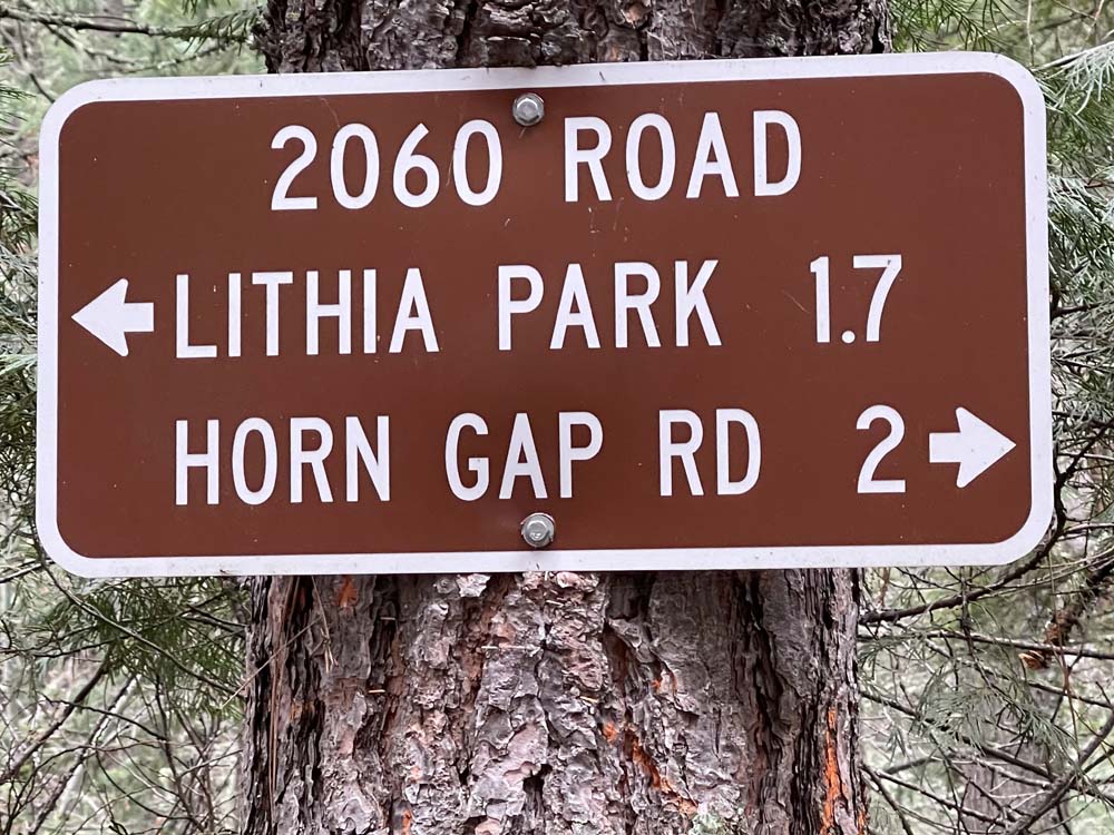
We stopped for lunch in our customary outcrop in the forest off the trail just short of the Fell-on-Knee intersection. As we approached the lunch spot, we found a sweet heart arrangement on the ground (with sticks, rocks, and a rose). Seems a former hiker wanted to wish us a happy Valentine’s Day. We then continued on our way to reach the Road to descend along the creek.

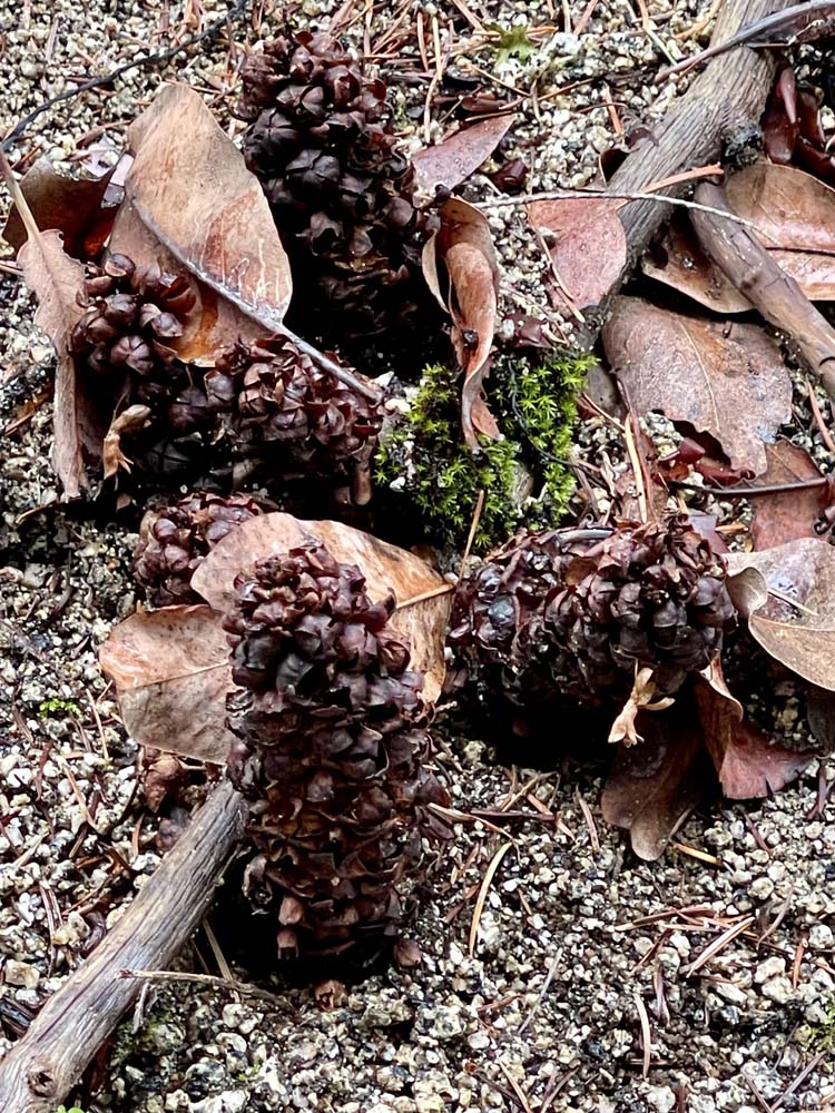
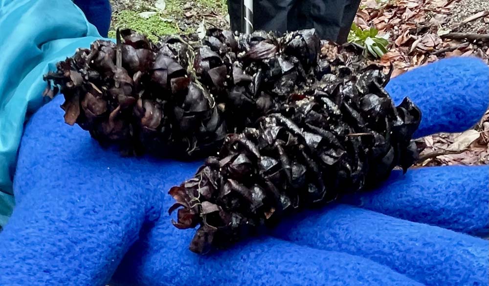
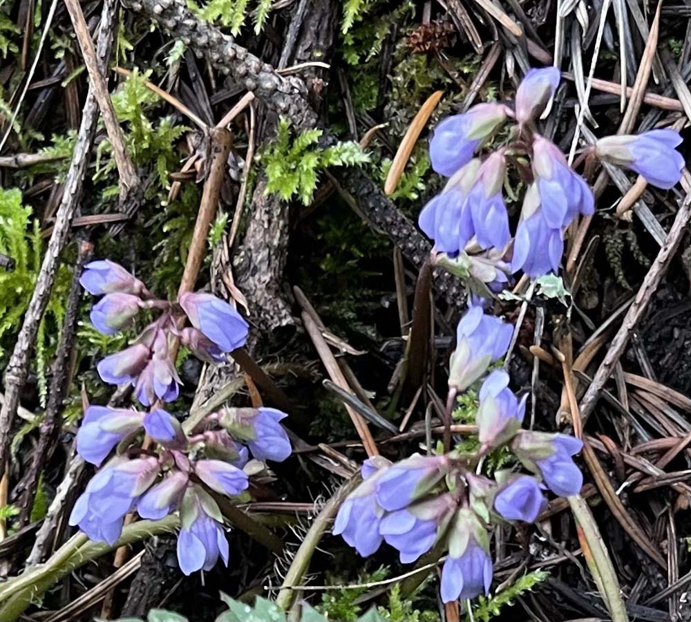
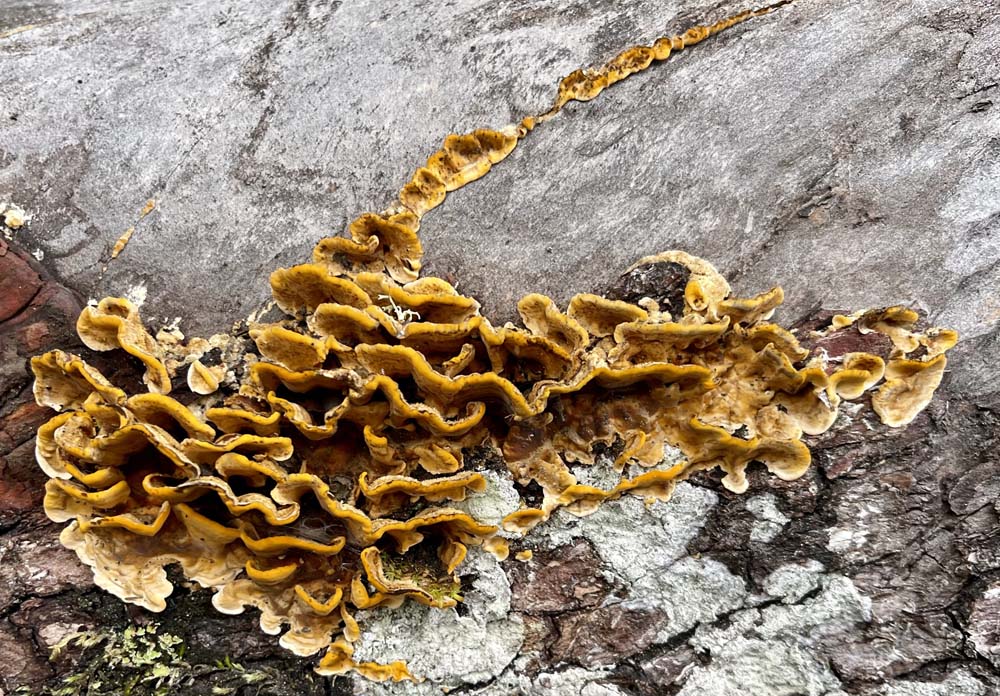
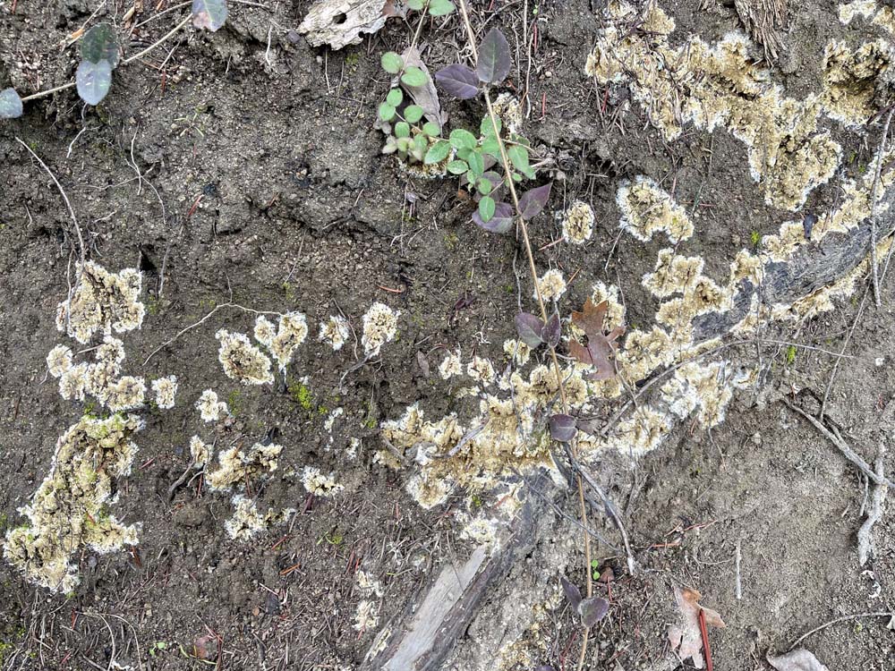
We found some flora announcing the coming of spring, including snow queen and early purple wildflower. To our amazement descending down the road, we found a large swath of California ground-cones. Some were coming loose from the soil apparently due to the heavy erosion along the hillside. These California ground-cones are wildflowers that look like pine cones. They are root parasites of madrone and manzanita.

A little rain waited until we reached our cars. We had hikes 5 miles and gained 900’ elevation.

Post Content

Hike Leader: Kay

Photos By: Kay

Posted in Ashland Watershed, Friday, Woods

Post navigation

← Older posts
Newer posts →
↑