↓
 
Ashland Hiking Group 
 
  • About Us
  • Posted Hikes
    • Recent
    • Monday
    • Wednesday
    • Friday
    • Friday Flower
  • Hike Schedules
    • Monday
      • Current
      • Previous
    • Wednesday
      • Current
      • Previous
    • Friday
      • Current
      • Previous
    • Friday Flower
      • Current
      • Previous
  • Locations
    • Lakes
      • Applegate Lake
      • Azalea Lake
      • Castle Lake
      • Crater Lake
      • Duck Lakes
      • East Boulder Lake
      • Emigrant Lake
      • Fish Lake
      • Kangaroo Lake
      • Lost Creek Lake
      • Mountain Lakes
      • Puck Lakes
      • Seven Lakes
      • Sky Lakes
      • Smith Lake
      • Squaw Lakes
      • Taylor Lake
    • PCT
      • Brown Mountain
      • Castle Crags
      • Cement Bluff
      • Etna Summit
      • Greensprings Area
      • Gumboot Boulder
      • Hyatt/Greensprings Summit
      • Hyatt Reservoir
      • Mt Ashland Area
      • Pilot Rock Area
      • Porcupine Lake
      • Red Buttes
    • Rivers & Streams
      • Elk Creek
      • Frog Pond
      • Kelsey Creek
      • Lower Rogue
      • Mill Creek Falls
      • Sacramento River
      • Squaw Valley Creek
      • Upper Rogue
      • Taylor Creek
    • Snow Shoes
      • Buck Prairie
      • Crater Lake
      • Deadwood
      • Great Meadow
      • Grouse Gap
      • Hyatt Lake
      • Moon Prairie
      • Mt Ashland
      • Mt Shasta
      • Pederson
      • Pilot Rock
      • Summit Sno-Park
    • Mountains & Summits
      • A>L
        • Abbot Butte
        • Anderson Butte
        • Arch Rock
        • Baldy Peak
        • Big Red Mountain
        • Bolt Mountain
        • Castle Crags
        • Collings Mountain
        • Frank Hill Road
        • Grayback Mountain
        • Grizzly Peak
        • Kerby Peak
      • M>Z
        • Mount Ashland
        • Mount Bailey
        • Mount Eddy
        • Mount Elijah
        • Mount Shasta
        • Pompadour Bluff
        • Roxy Ann
        • Squaw Peak
        • Stein Butte
        • Stukel Mountain
        • Table Rocks
        • Union Peak
        • Wagner Butte
    • Woods
      • Ashland City
      • Ashland Watershed
      • Bear Creek Greenway
      • Cathedral Hills
      • Denman Wildlife Refuge
      • East Applegate Ridge
      • Enchanted Forest
      • Greenhorn Park
      • Greensprings Area
      • High Lakes Trail
      • Horseshoe Ranch
      • Jack Ash
      • Jacksonville
      • Layton Mine Ditch
      • Pacifica
      • Sterling Mine Ditch
      • Steves 40 Acres
    • Miscellaneous
  • Images
    • Resize @ 1000H ,1000V & med before uploading
  • Log In

Post navigation

← Older posts
Newer posts →

Mt Ashland Snowshoe

Ashland Hiking Group Posted on February 12, 2024 by Randy BryanApril 23, 2024

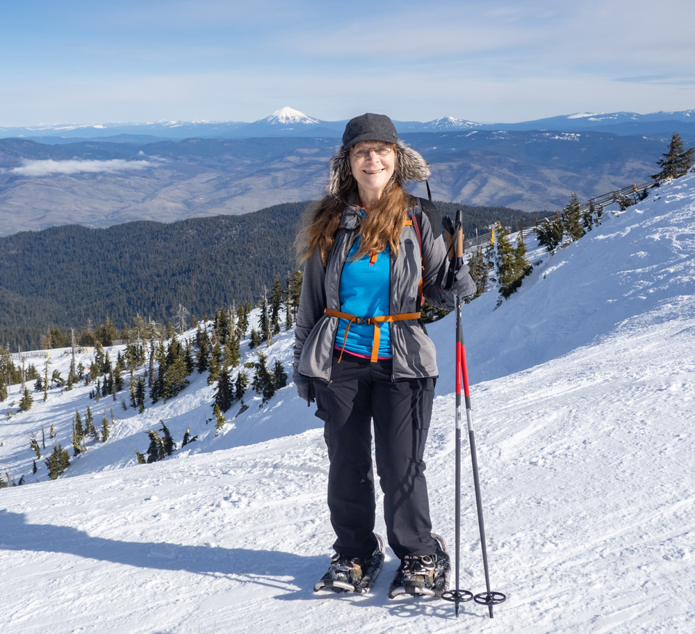
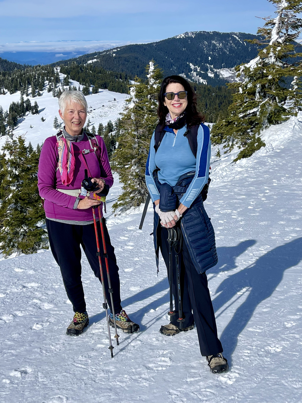
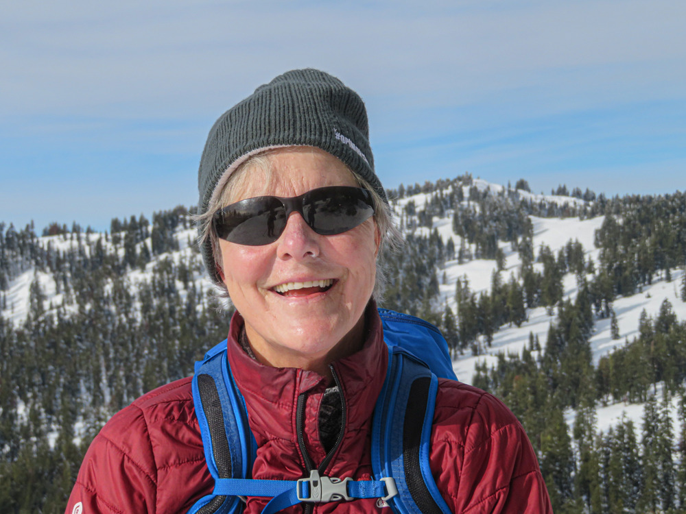
The spring-like weather from Sunday held over to Monday, so 20 AHG members turned out for fun on Mt. Ashland. Six cars caravanned up to the mountain.

We parked by the locked gate to FS20. The gate was covered with snow so we went over it instead of around it. The road had been groomed so it was fairly easy going in snowshoes or yak trax or even hiking boots.

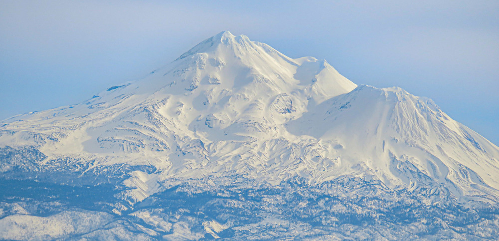
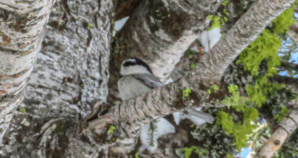
It was mild and mostly sunny with great views of Mt Shasta from the road. The pines that had been covered with snow last Friday were now a fresh green in the sun.

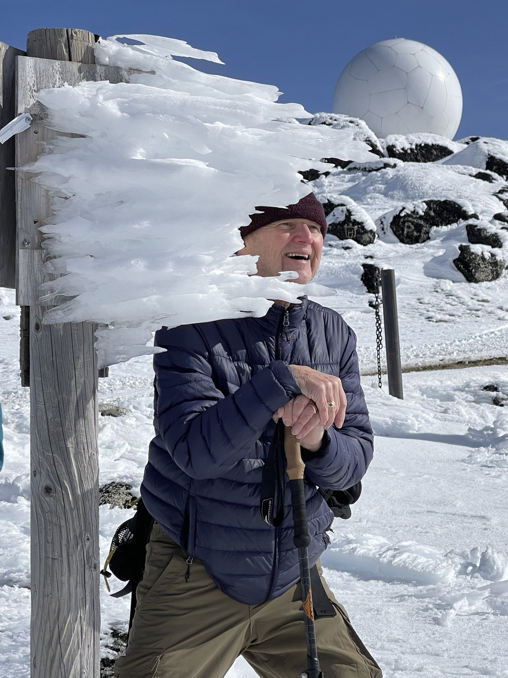
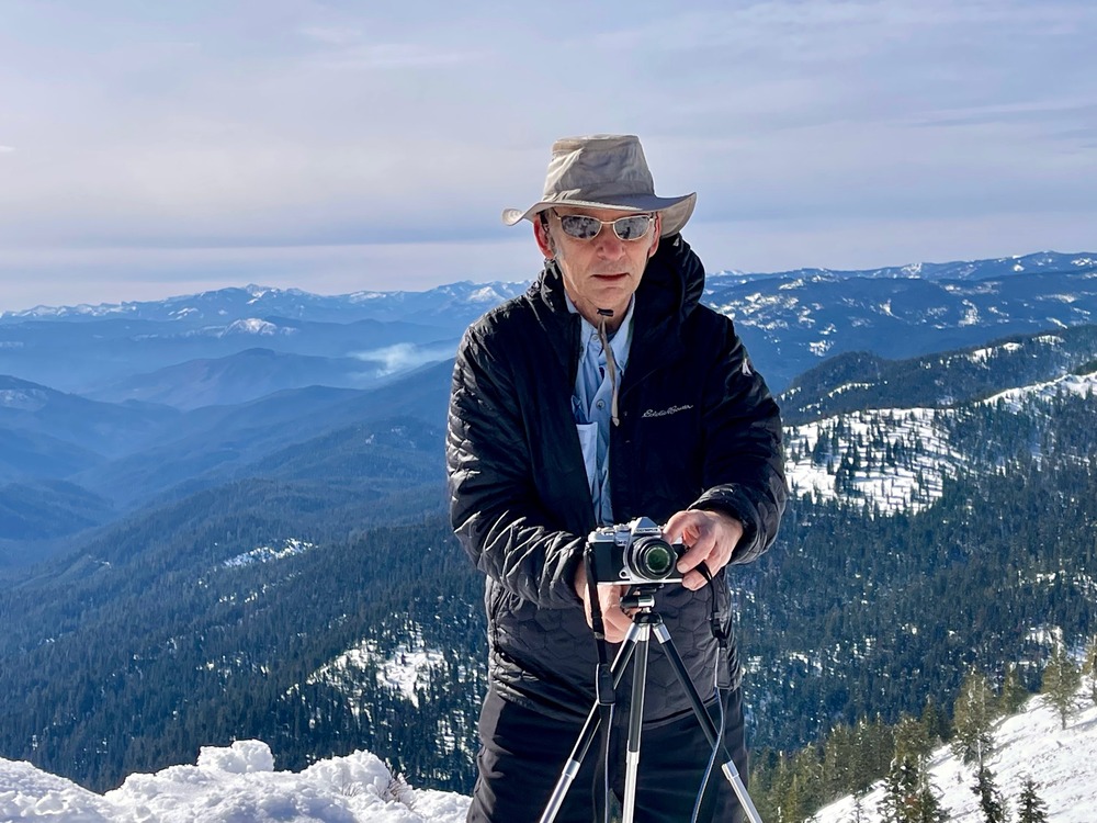
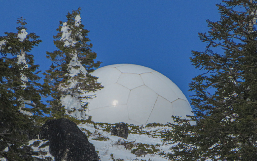
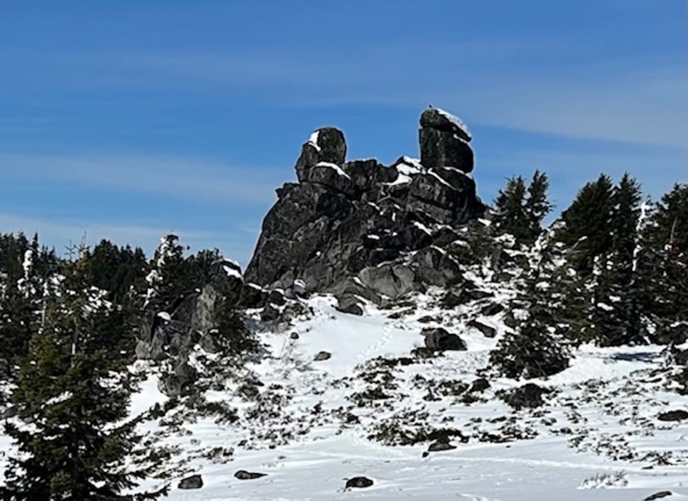
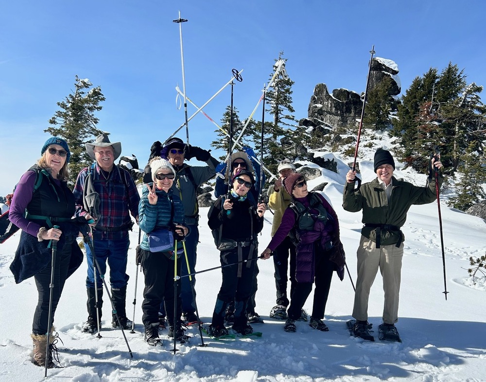
The plan for the day was to hike out to the Rabbit Ears formation, but when we got to the turnoff some in the group wanted to do some bonus hiking up to the Golf Ball. So the group split with half heading out to Rabbit Ears and half venturing up to the top of the road.

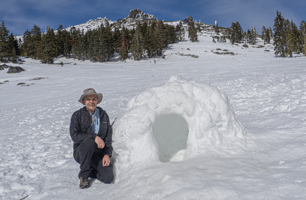
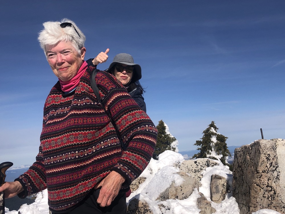
The trail out to Rabbit Ears featured the first soft snow of the day. Before brunch, some hiked around the base while one climbed up to the ears. It was 4 miles RT. We did a funny group shot with Rabbit Ears in the background, then headed back to parking.

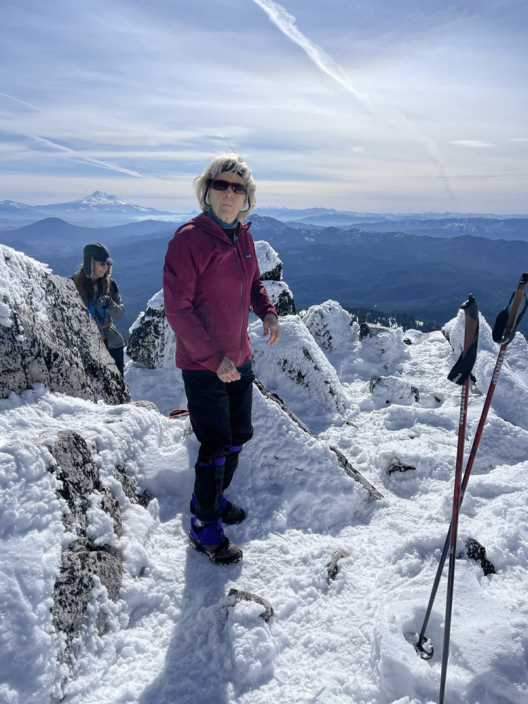
Here’s Kay’s report from up above:
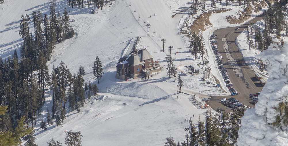
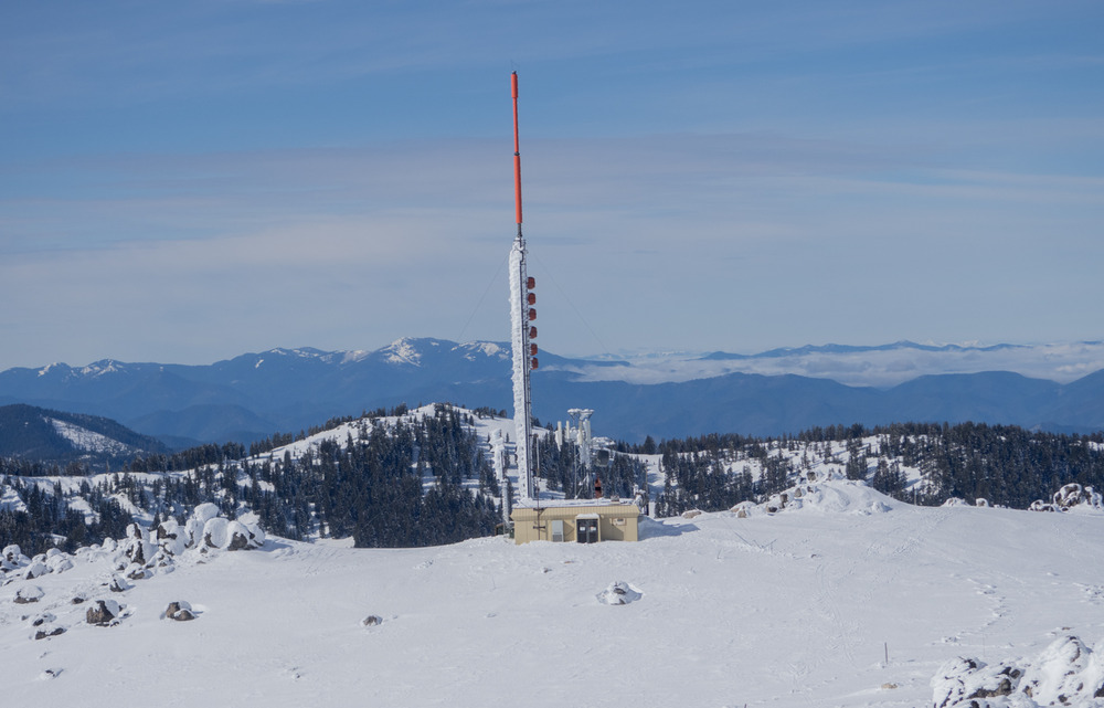
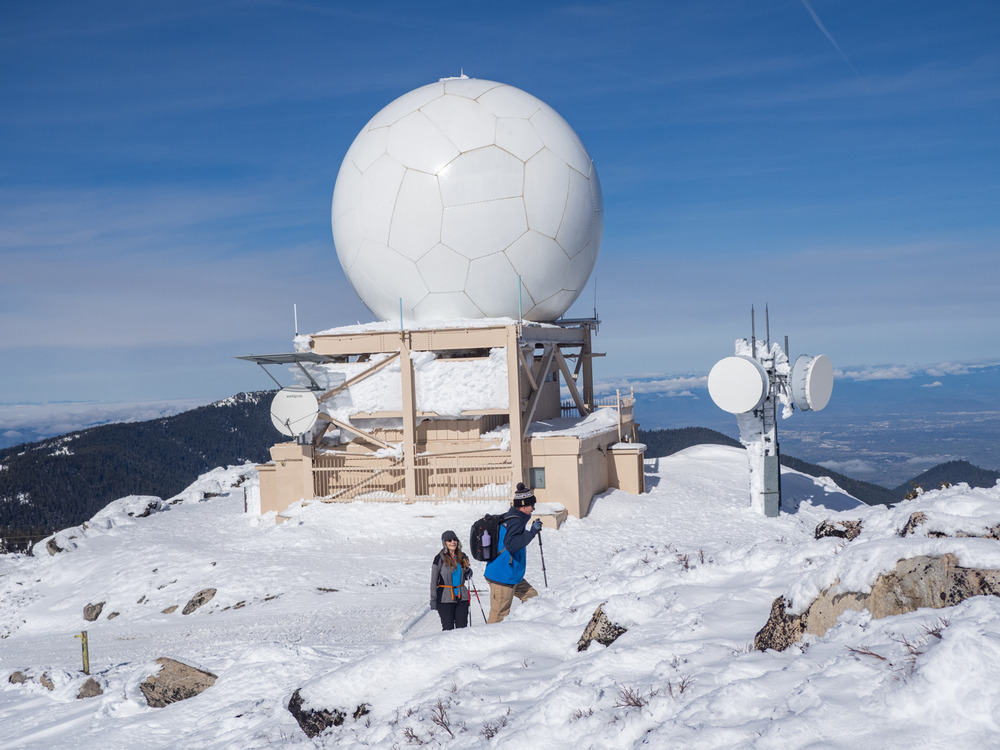
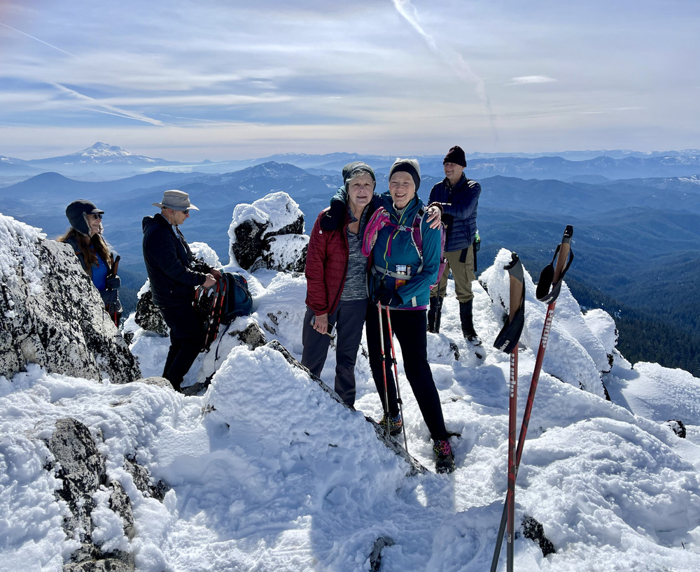
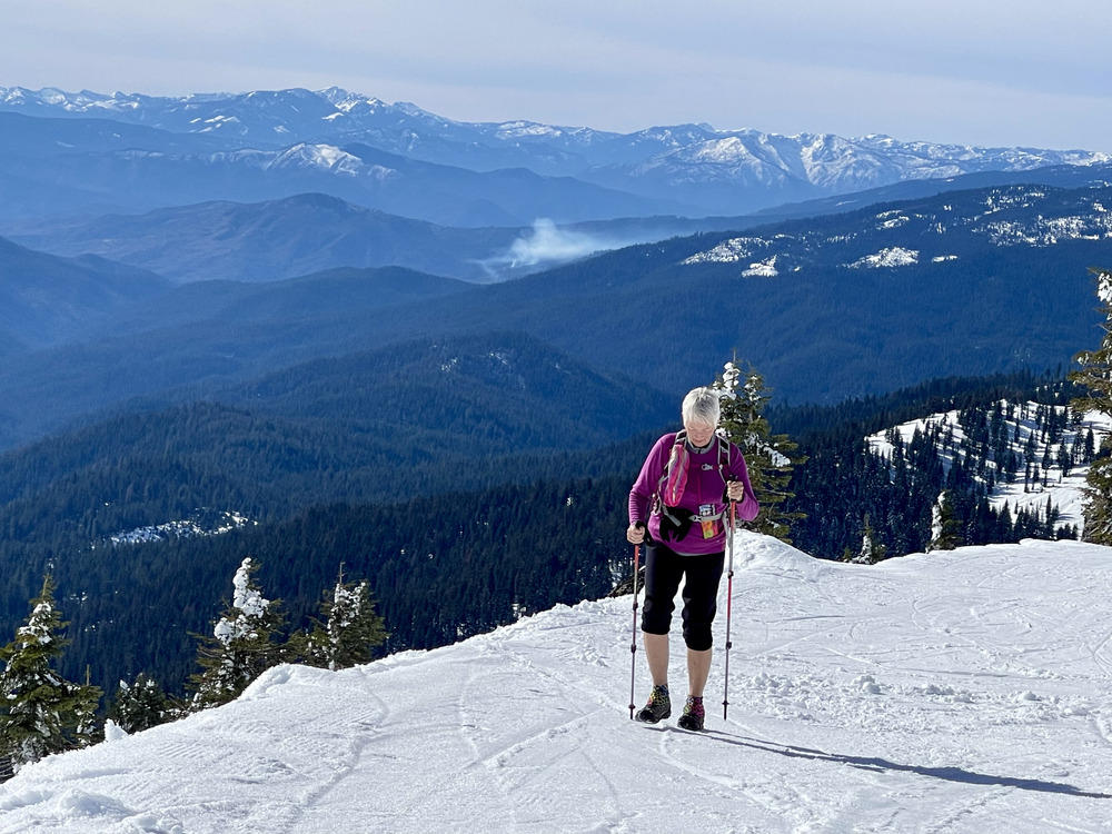
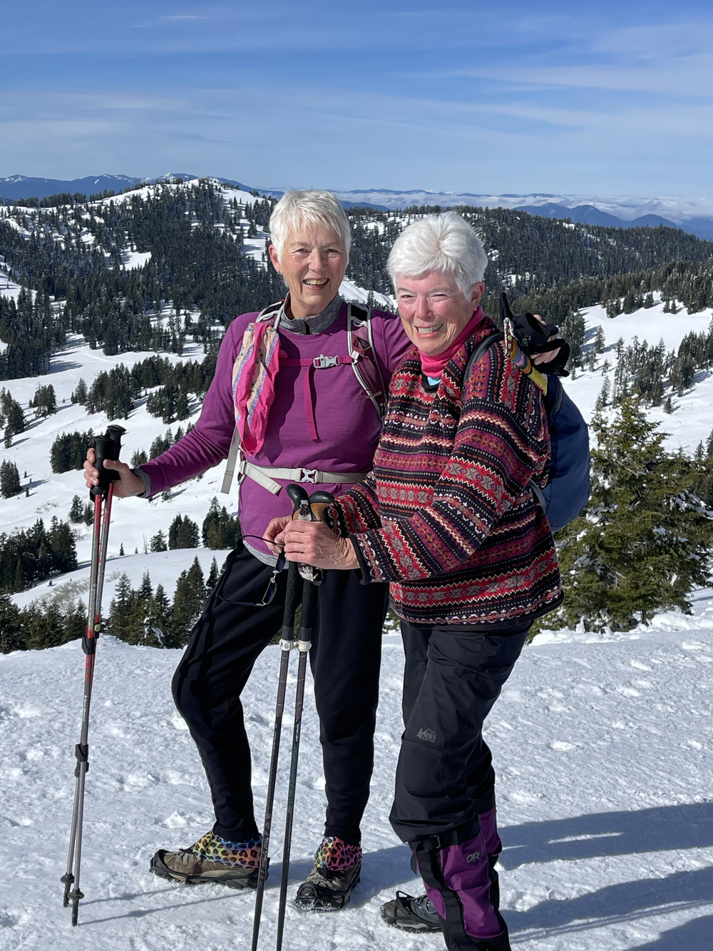
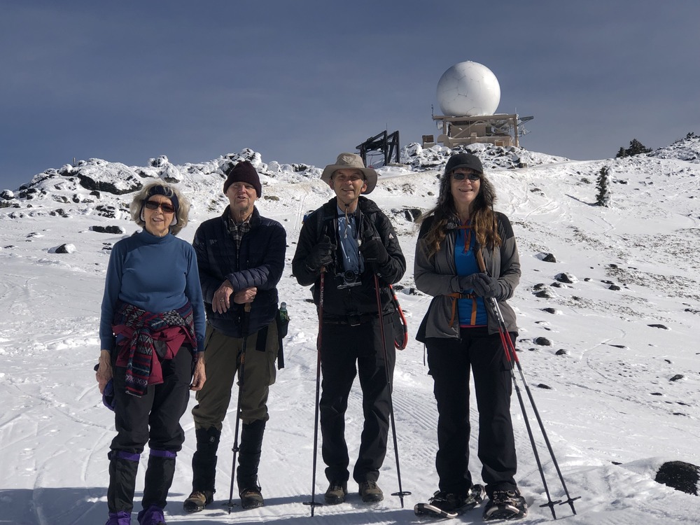
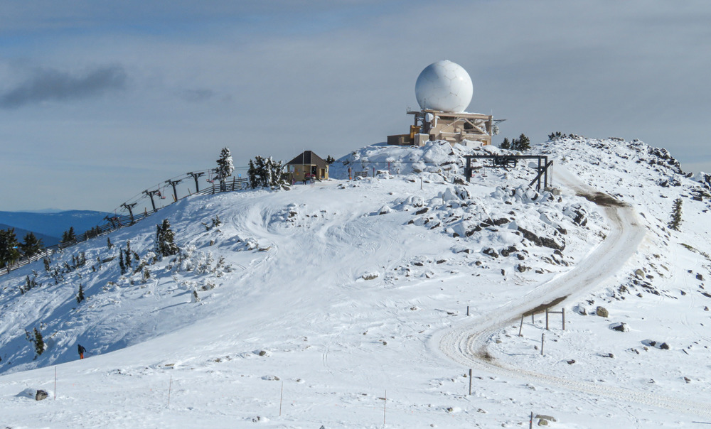
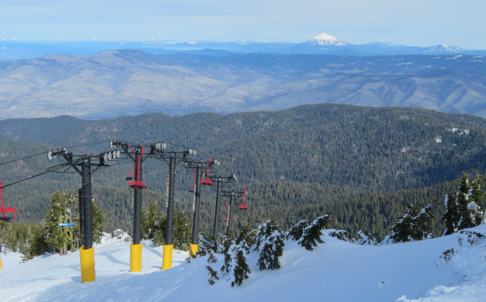
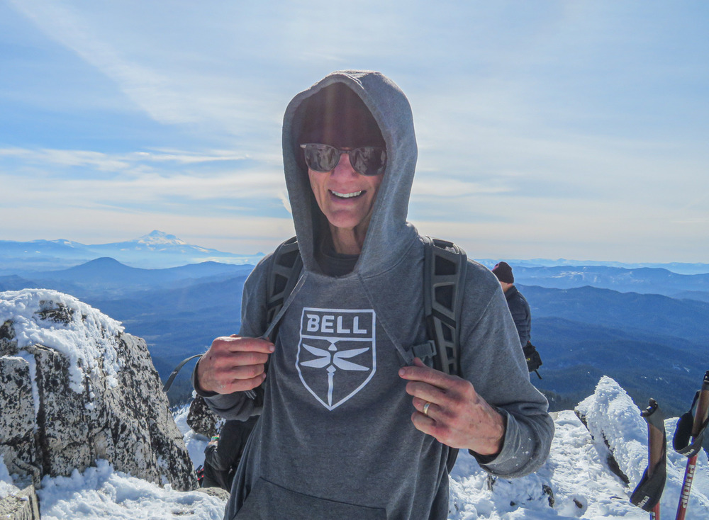
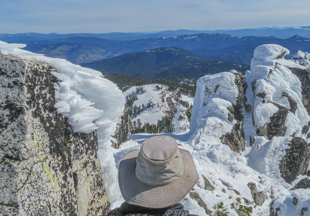
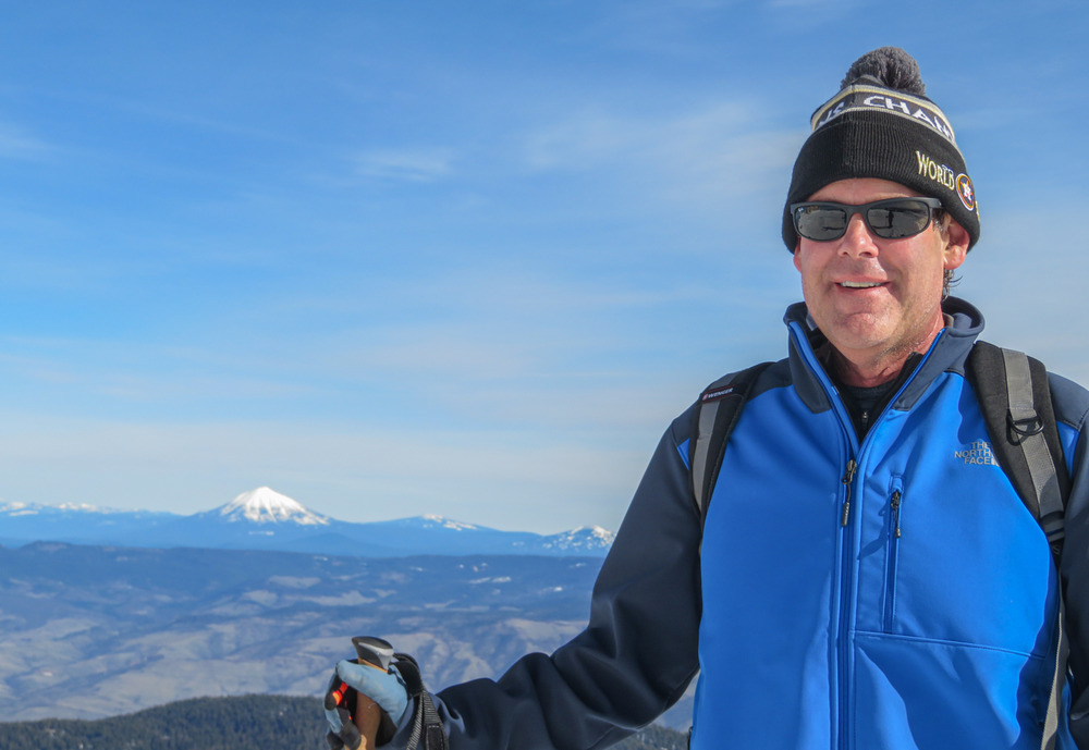
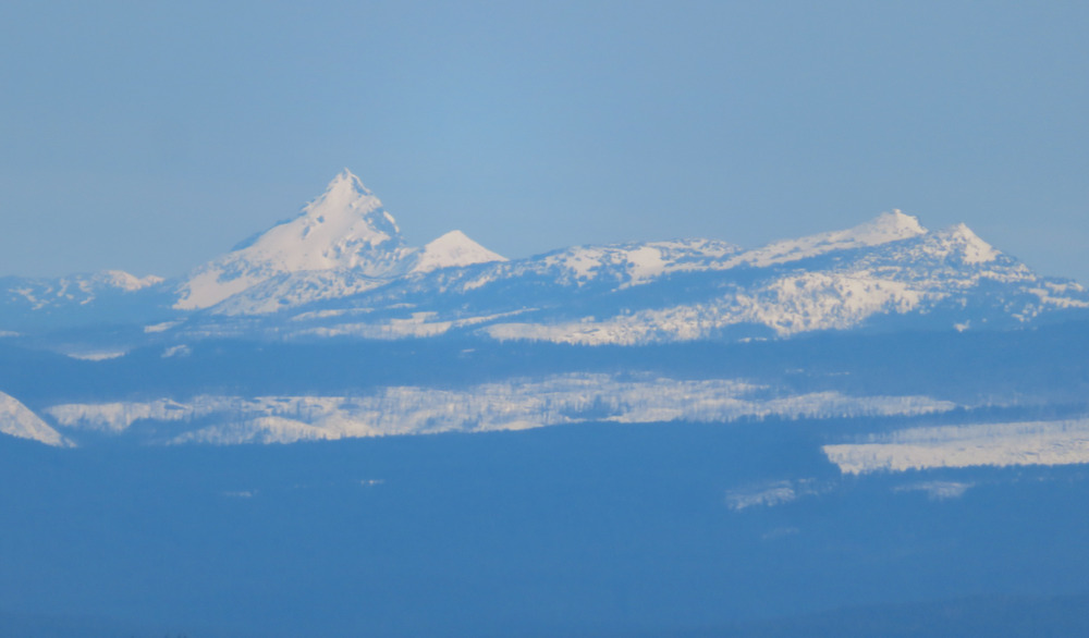
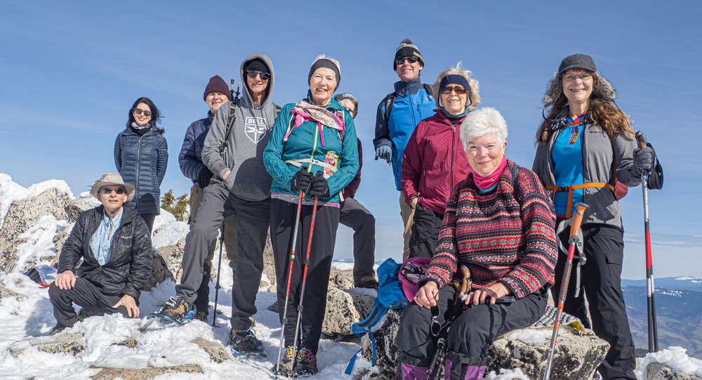
Some of us get trekking up the groomed road past Rabbit Ears to see the view into California. The allure of going to Mt. Ashland summit (elevation 7,532 feet) on a brilliant, sunny day was enticing. So, we kept going, encouraged by our spirited team. We climbed past the “golf ball” to the top of the Mt. Ashland ski lift and up to the highest rocks. There were vast views across the Rogue Valley and beyond where we could see the Crater Lake peaks, and down to a small Pilot Rock below. see the Crater Lake peaks, and down to a small Pilot Rock below. Many comments were heard about the exhilarating climb and how fortunate we are to live in such a stunning landscape. Total mileage – 5.6 miles.

Post-hike several of us stopped at the Rogue Valley Roasting Co. for refreshments and conversation.
It was a fun day on the mountain,

Hike Leader: Rich Stickle

Photos By: Linda, Randy, Liz, Patricia, Rich, Kay

Posted in Monday, Mt Ashland, Snow Shoes

Post navigation

← Older posts
Newer posts →
↑