↓
 
Ashland Hiking Group 
 
  • About Us
  • Posted Hikes
    • Recent
    • Monday
    • Wednesday
    • Friday
    • Friday Flower
  • Hike Schedules
    • Monday
      • Current
      • Previous
    • Wednesday
      • Current
      • Previous
    • Friday
      • Current
      • Previous
    • Friday Flower
      • Current
      • Previous
  • Locations
    • Lakes
      • Applegate Lake
      • Azalea Lake
      • Castle Lake
      • Crater Lake
      • Duck Lakes
      • East Boulder Lake
      • Emigrant Lake
      • Fish Lake
      • Kangaroo Lake
      • Lost Creek Lake
      • Mountain Lakes
      • Puck Lakes
      • Seven Lakes
      • Sky Lakes
      • Smith Lake
      • Squaw Lakes
      • Taylor Lake
    • PCT
      • Brown Mountain
      • Castle Crags
      • Cement Bluff
      • Etna Summit
      • Greensprings Area
      • Gumboot Boulder
      • Hyatt/Greensprings Summit
      • Hyatt Reservoir
      • Mt Ashland Area
      • Pilot Rock Area
      • Porcupine Lake
      • Red Buttes
    • Rivers & Streams
      • Elk Creek
      • Frog Pond
      • Kelsey Creek
      • Lower Rogue
      • Mill Creek Falls
      • Sacramento River
      • Squaw Valley Creek
      • Upper Rogue
      • Taylor Creek
    • Snow Shoes
      • Buck Prairie
      • Crater Lake
      • Deadwood
      • Great Meadow
      • Grouse Gap
      • Hyatt Lake
      • Moon Prairie
      • Mt Ashland
      • Mt Shasta
      • Pederson
      • Pilot Rock
      • Summit Sno-Park
    • Mountains & Summits
      • A>L
        • Abbot Butte
        • Anderson Butte
        • Arch Rock
        • Baldy Peak
        • Big Red Mountain
        • Bolt Mountain
        • Castle Crags
        • Collings Mountain
        • Frank Hill Road
        • Grayback Mountain
        • Grizzly Peak
        • Kerby Peak
      • M>Z
        • Mount Ashland
        • Mount Bailey
        • Mount Eddy
        • Mount Elijah
        • Mount Shasta
        • Pompadour Bluff
        • Roxy Ann
        • Squaw Peak
        • Stein Butte
        • Stukel Mountain
        • Table Rocks
        • Union Peak
        • Wagner Butte
    • Woods
      • Ashland City
      • Ashland Watershed
      • Bear Creek Greenway
      • Cathedral Hills
      • Denman Wildlife Refuge
      • East Applegate Ridge
      • Enchanted Forest
      • Greenhorn Park
      • Greensprings Area
      • High Lakes Trail
      • Horseshoe Ranch
      • Jack Ash
      • Jacksonville
      • Layton Mine Ditch
      • Pacifica
      • Sterling Mine Ditch
      • Steves 40 Acres
    • Miscellaneous
  • Images
    • Resize @ 1000H ,1000V & med before uploading
  • Log In

Post navigation

← Older posts
Newer posts →

Lewis Loop

Ashland Hiking Group Posted on March 11, 2024 by Randy BryanApril 23, 2024

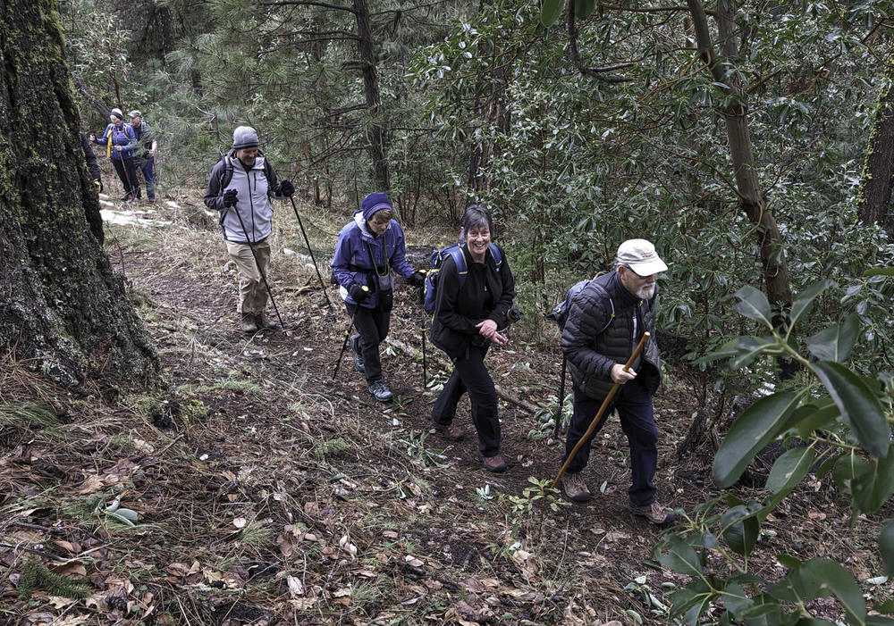
We did our rescheduled hike up and around Lewis Loop with better weather than earlier in the winter; with temps from the 30s to 40s under cloudy skies with no rain.
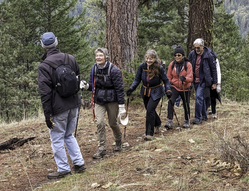
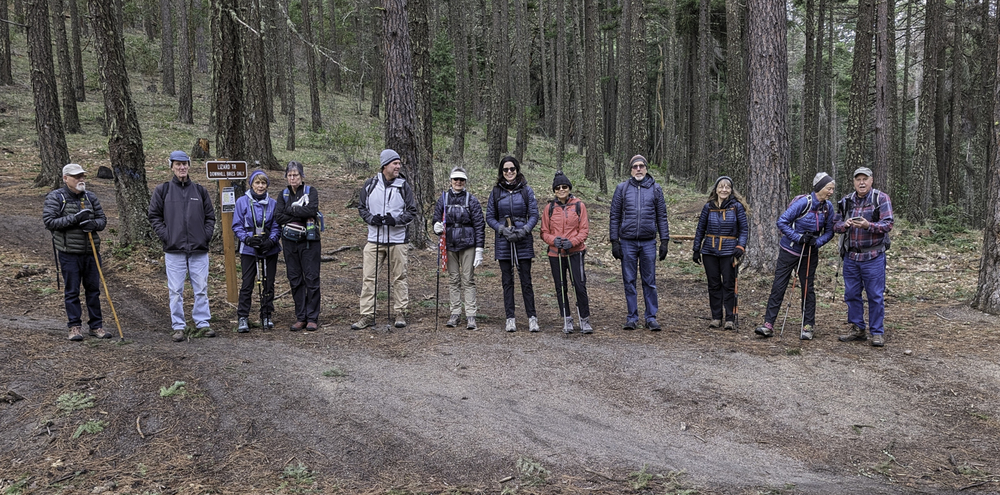
Thirteen gathered for the hike at the White Rabbit Trail TH off the Ashland Loop Rd. There were a lot of greetings all around as we formed a circle and announced our names for returning hikers.
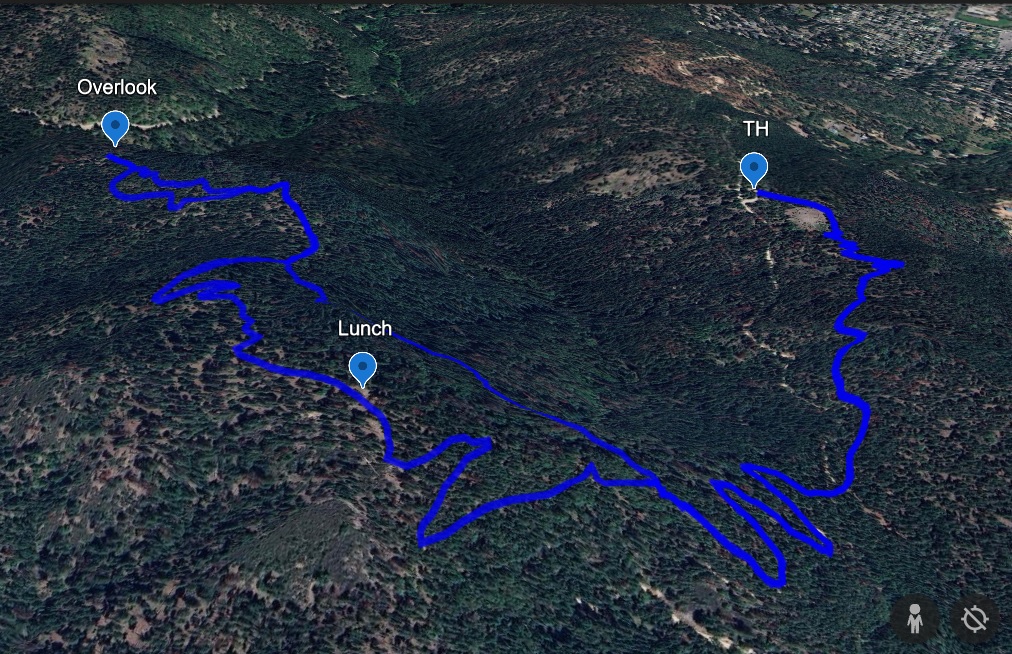
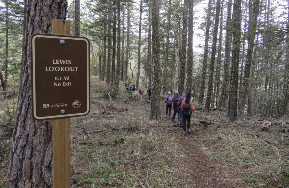
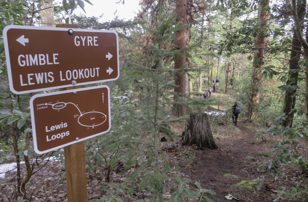
When ready we started the half mile climb up White Rabbit followed by a right turn onto the Caterpillar Trail which took us up to the right onto the Lewis Loop Trail. (Named for Lewis Carrol the author of Alice in Wonderland).
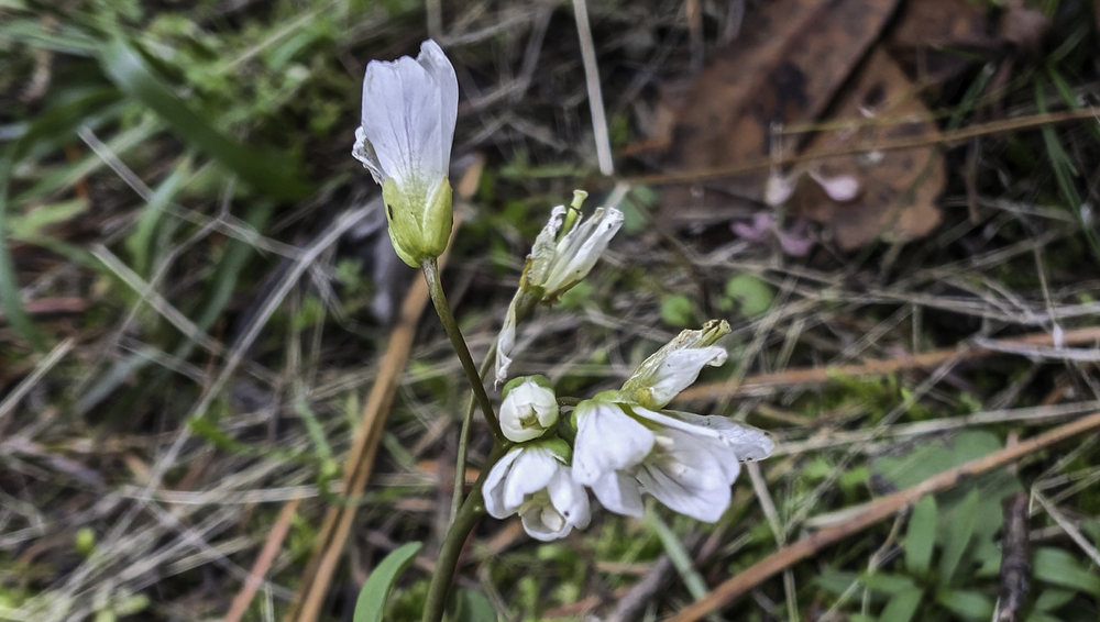
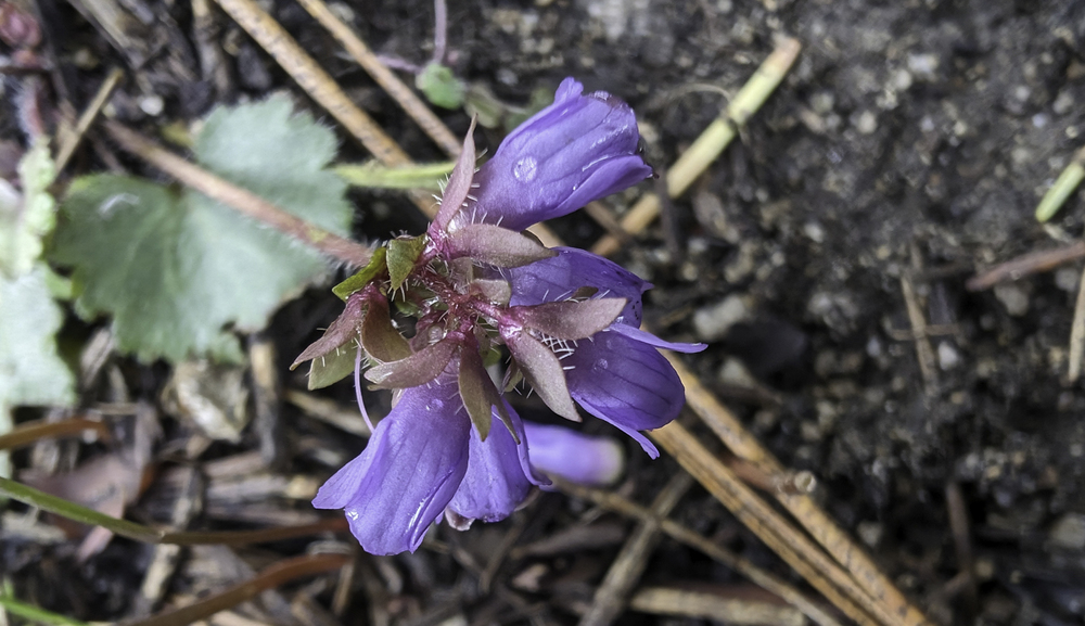
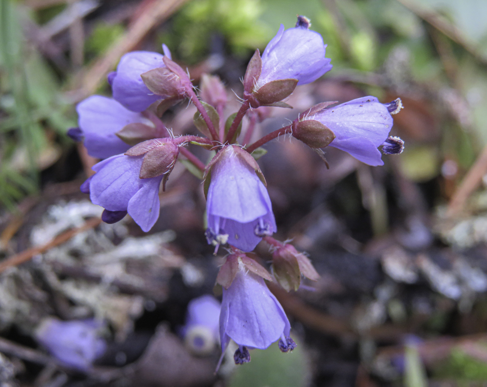
Along the way we saw several purple Snow Queens popping up next to the trail. These are usually the first wildflowers that appear locally in late winter and early spring. Later on the way down we spotted a few white Milk Maids or Toothwort.
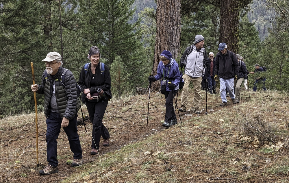
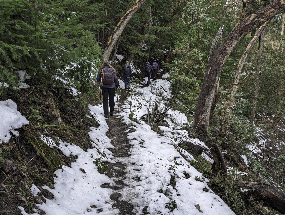
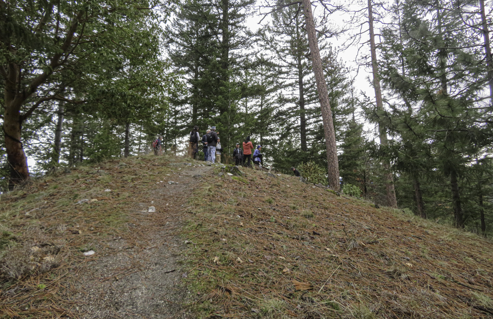
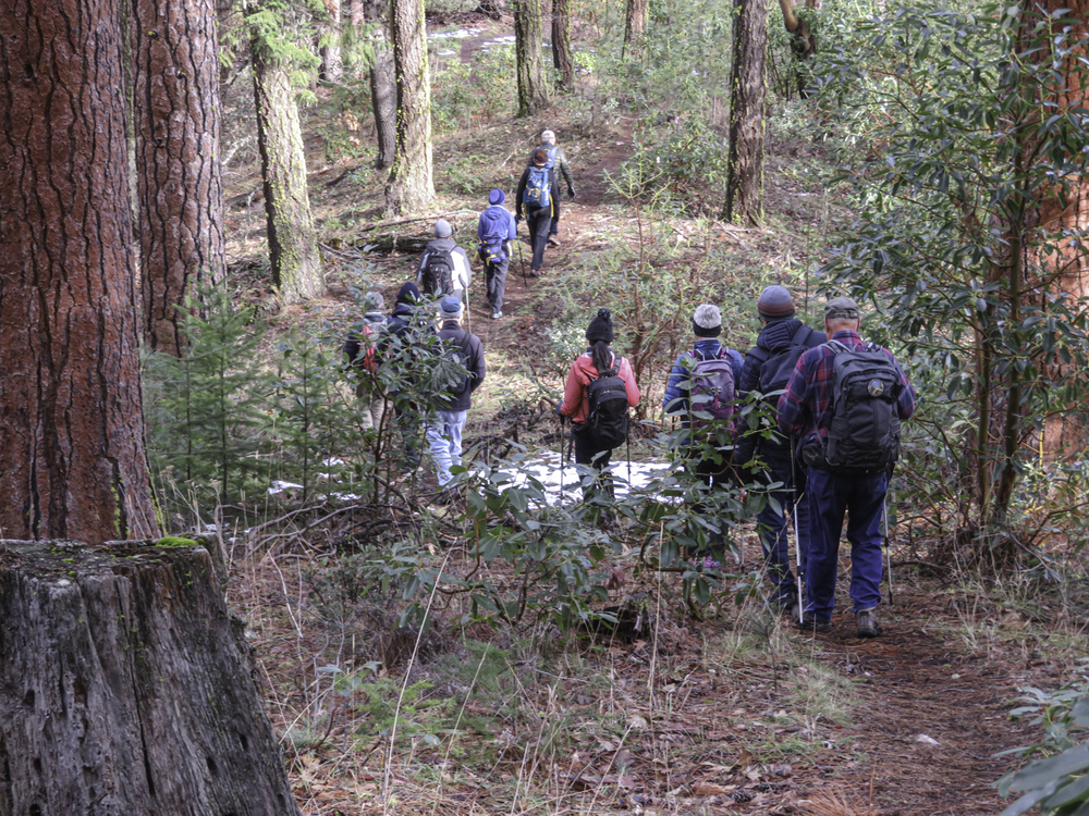
The climb up was aerobic and got our hearts pumping to ward off the chill. There was patchy snow as we gained ground to 3800′ but nothing really obstructing our way.
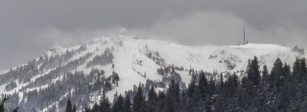
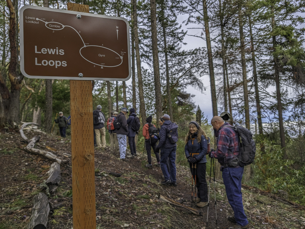
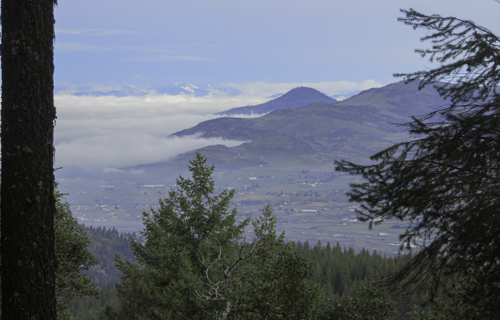
We got out to Scout Troop #112 picnic table at the lookout point by 10:30 and stopped for water and a breather. After our break, we headed back up the Gimble Trail and onto the Gyre Trail that took us to the 3800′ summit for lunch and a partial view of Mt. Ashland.
We heard many booming reports that some thought might be thunder, but after a while we all agreed it was coming from Mt. Ashland where they were using explosions to prevent avalanches.
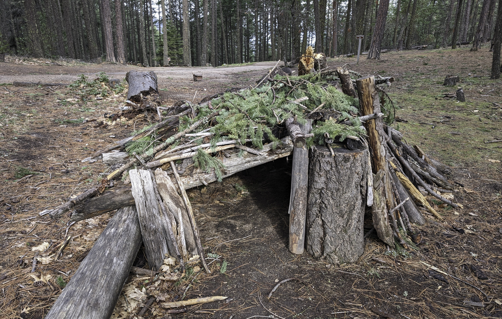
Just as we were finishing lunch a strong wind blew in and with a wind chill that made us scramble off the summit. As we descended we found shelter from the cold wind.
We got back to the TH at 12:30 and celebrated with high fives all around.
The hike was 5.2 miles with perhaps 1000′ of gain.
Post hike some of us stopped at the Rogue Valley Roasting Co. for refreshments.

Hike Leader: Rich Stickle

Photos By: Linda, Randy

Posted in Ashland Watershed, Monday, Woods

Post navigation

← Older posts
Newer posts →
↑