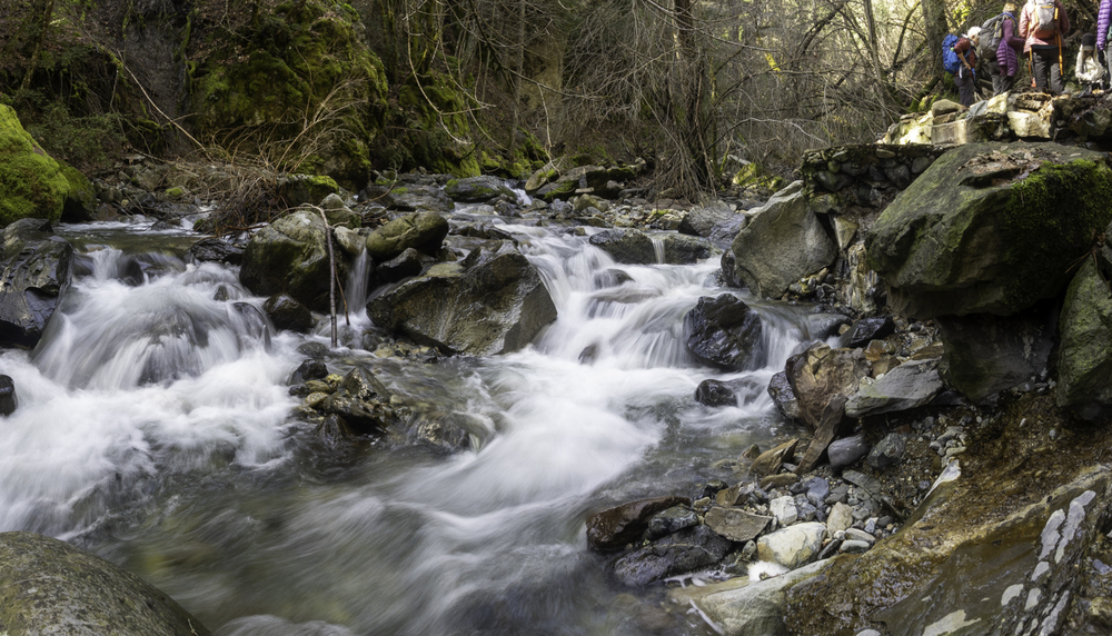
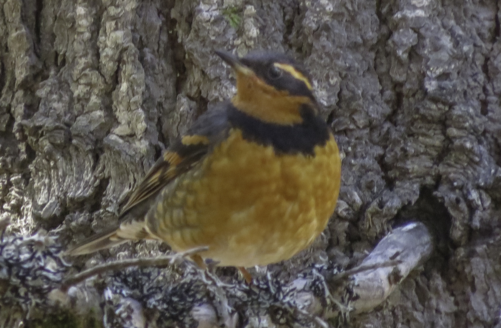
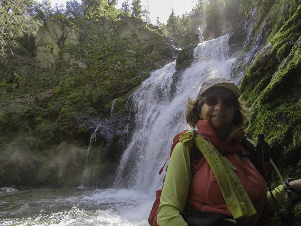
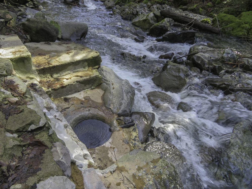
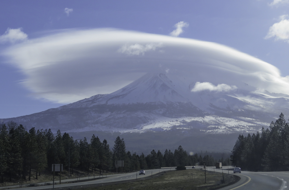
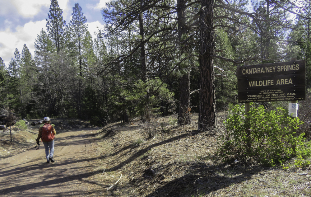
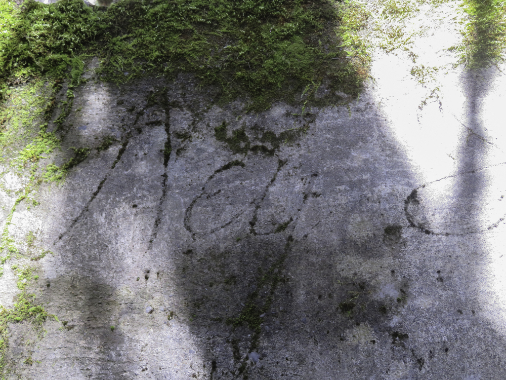
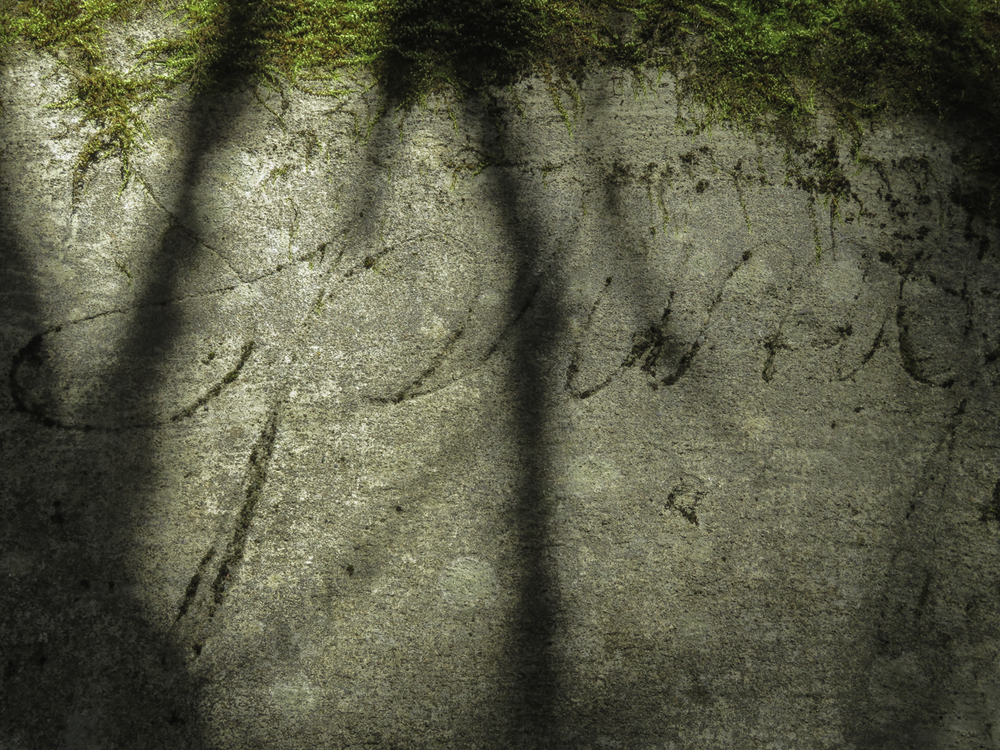
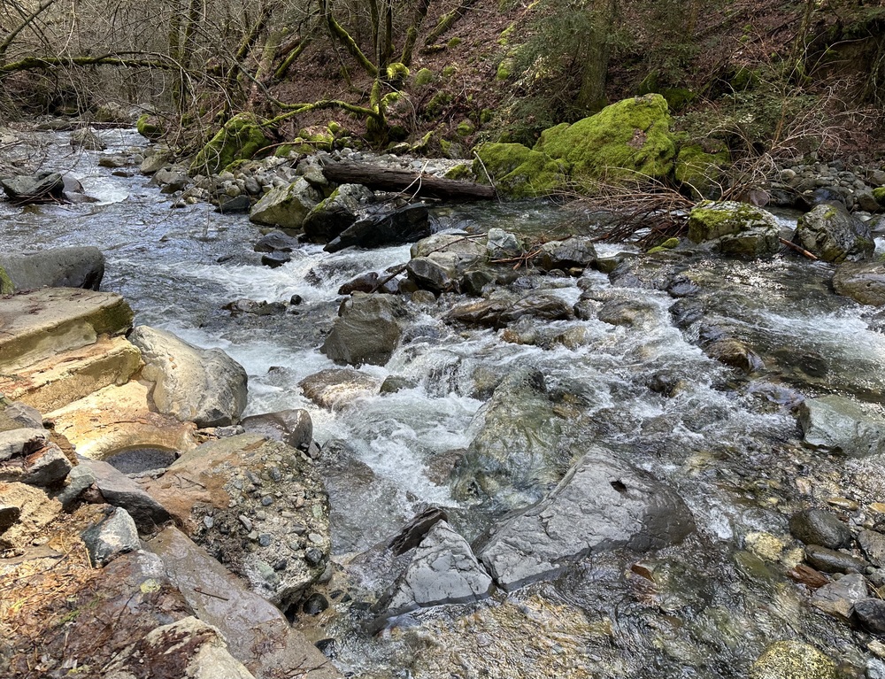
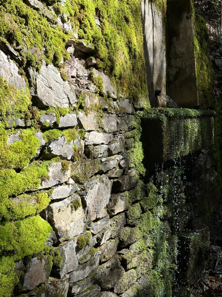
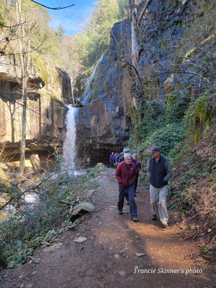
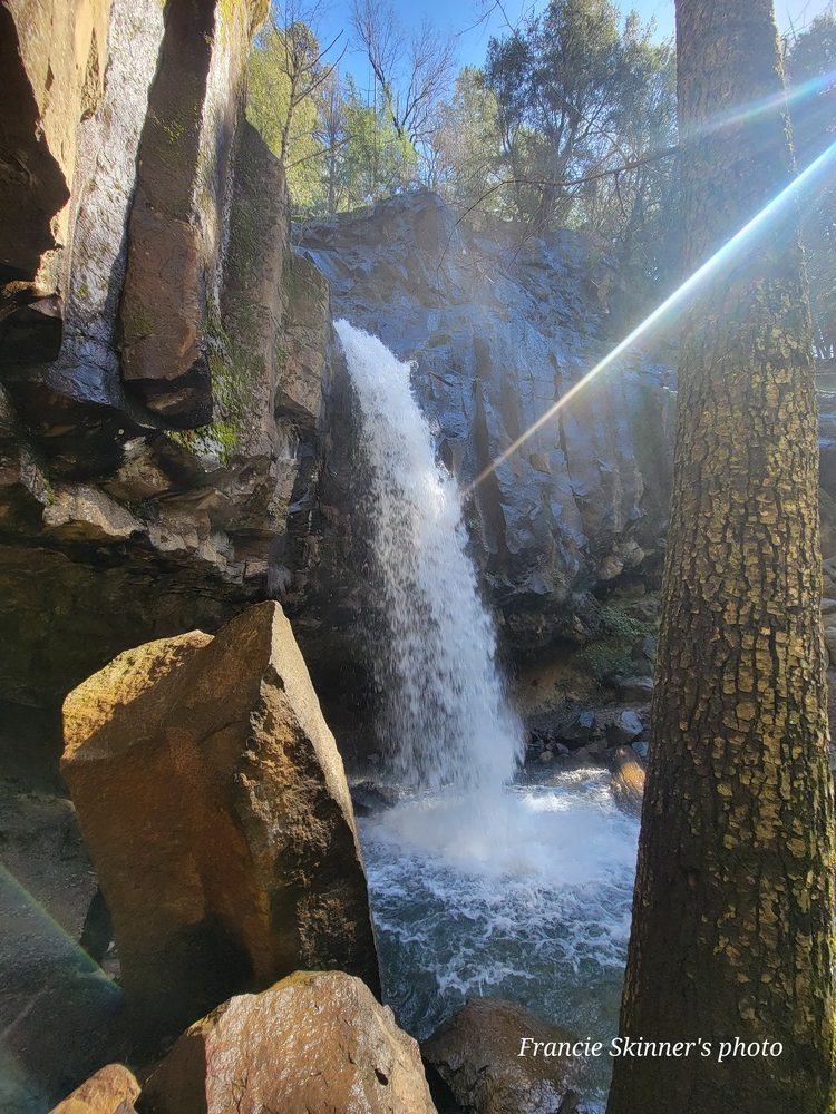
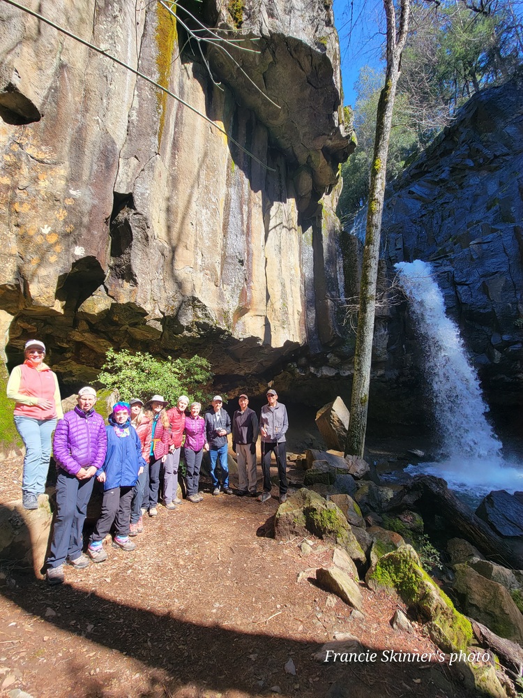
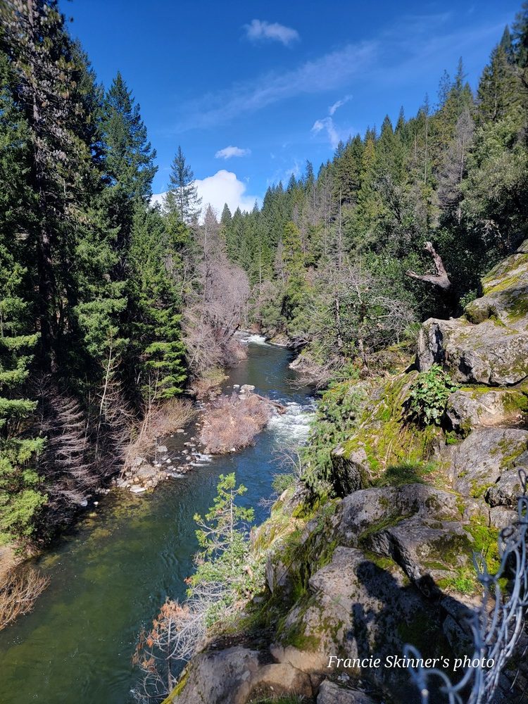
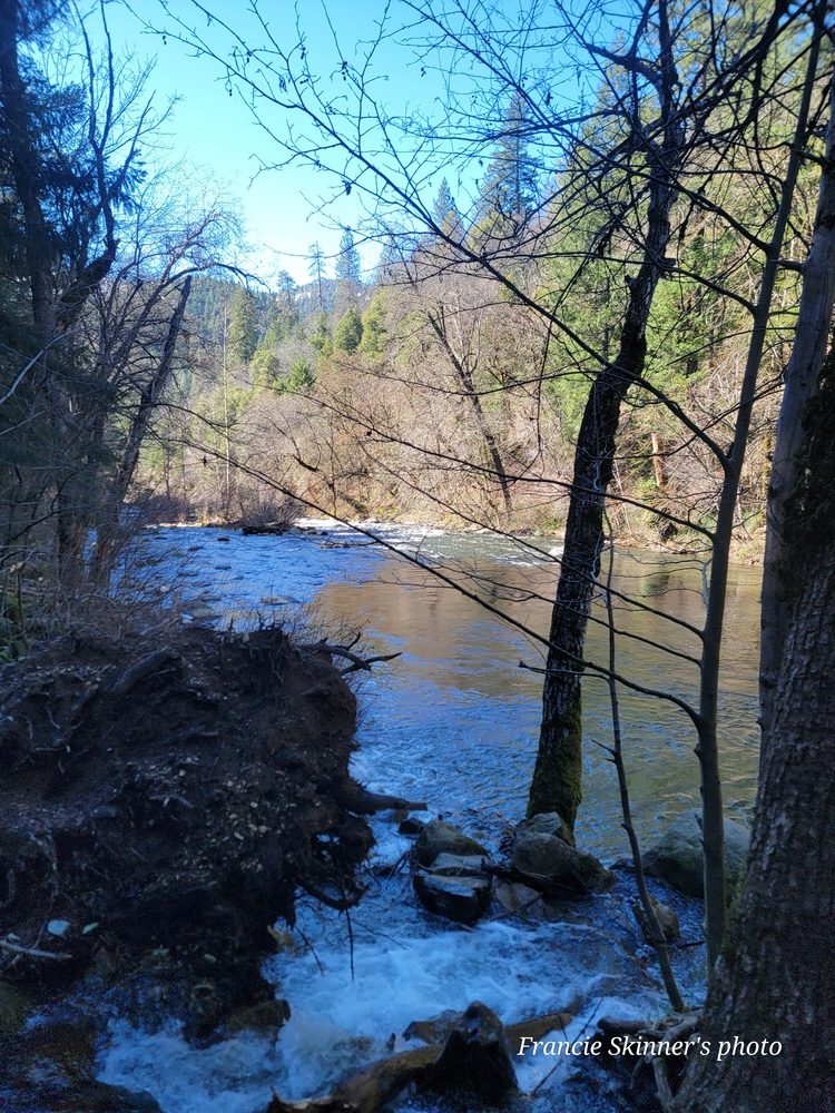
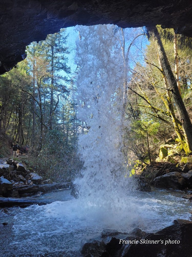
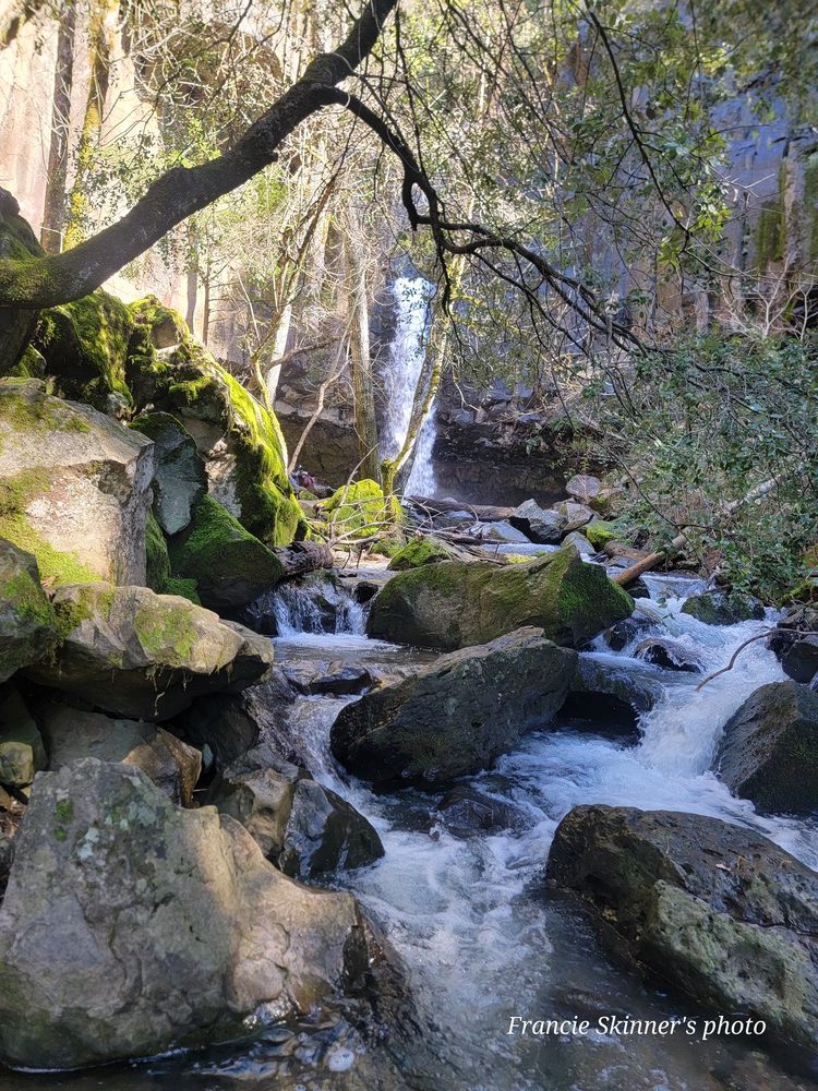
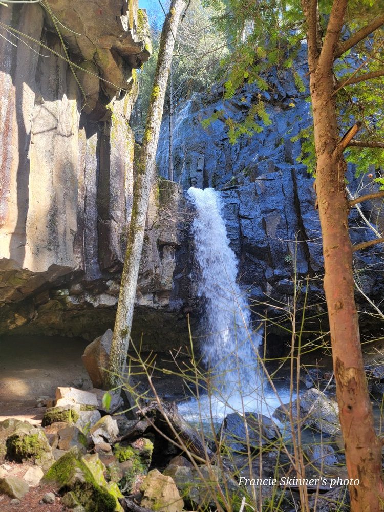
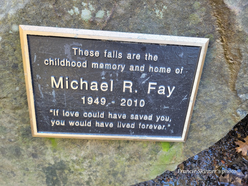
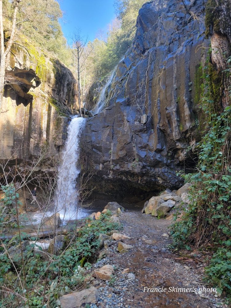
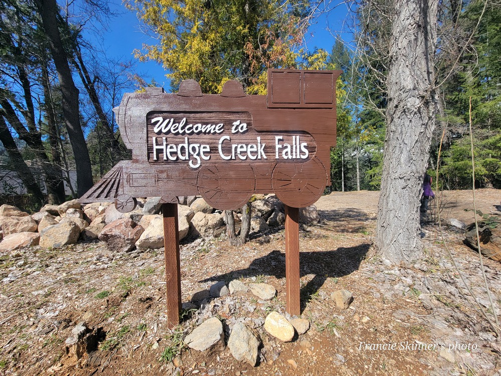
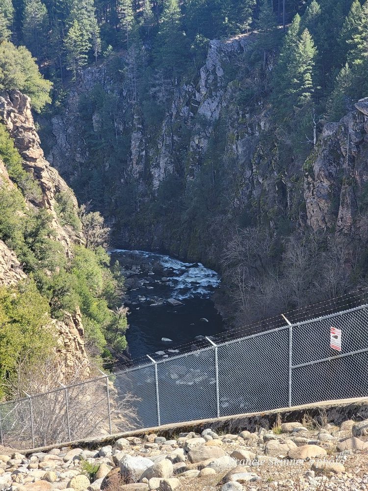
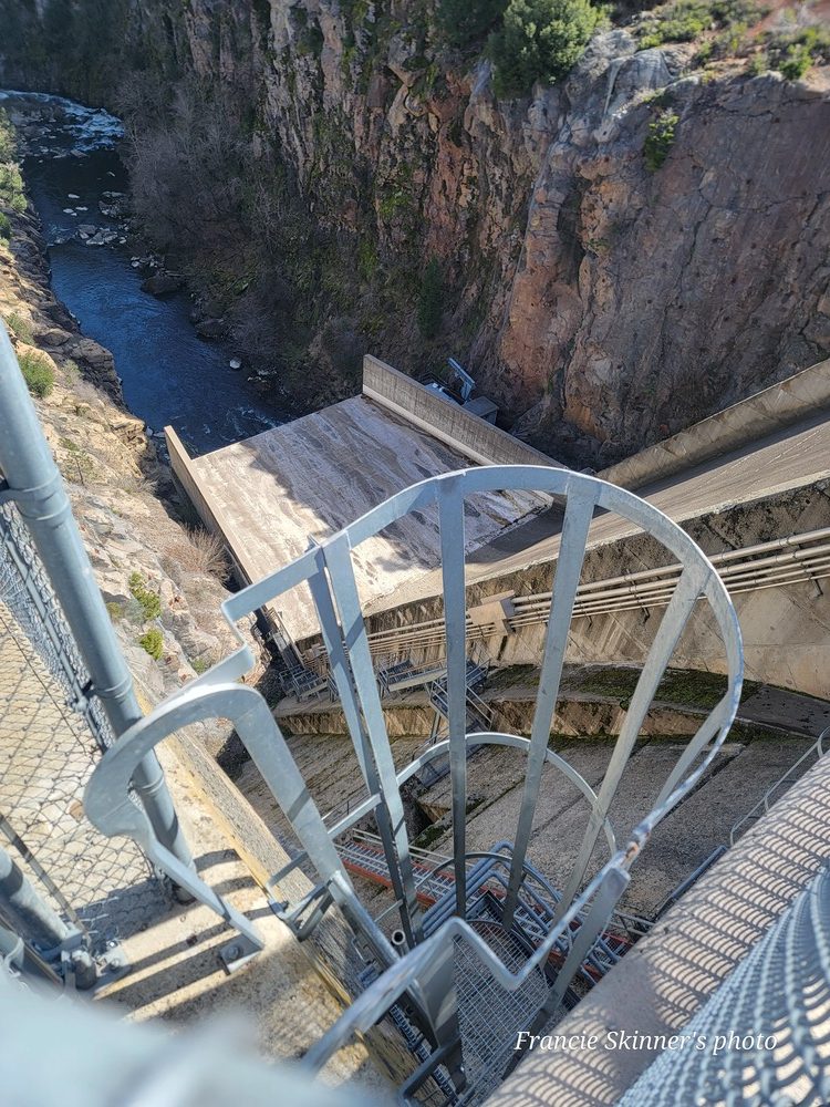
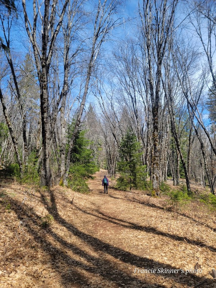
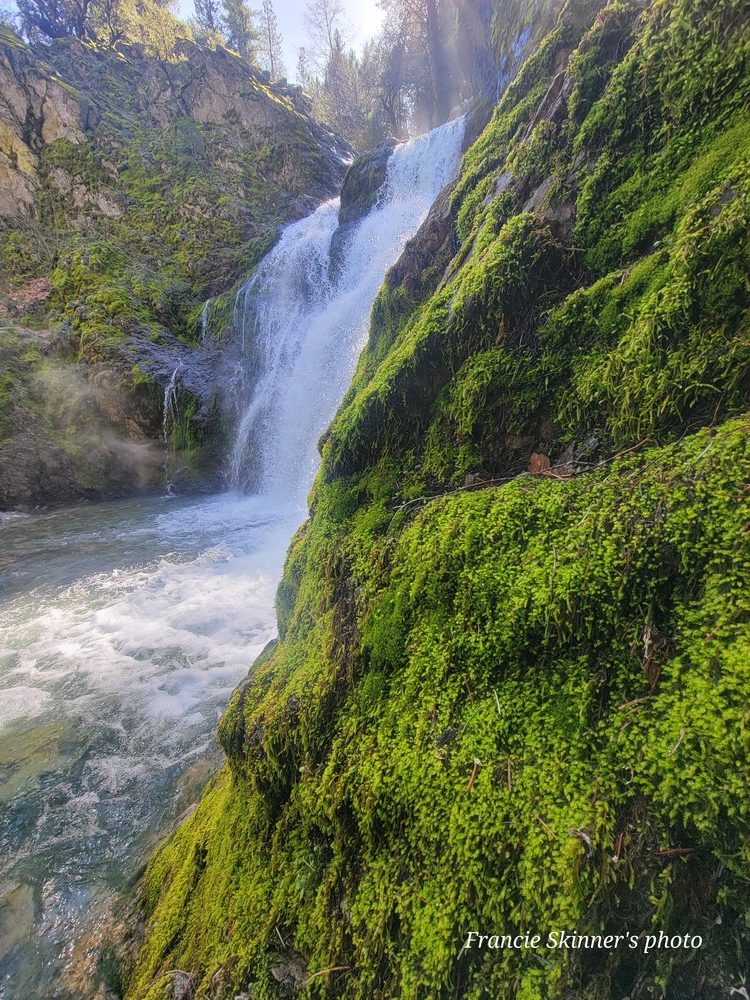
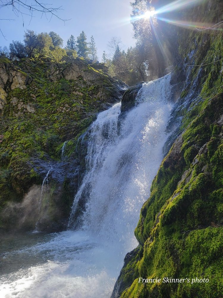
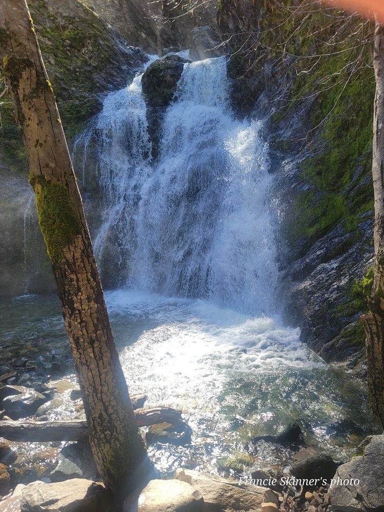
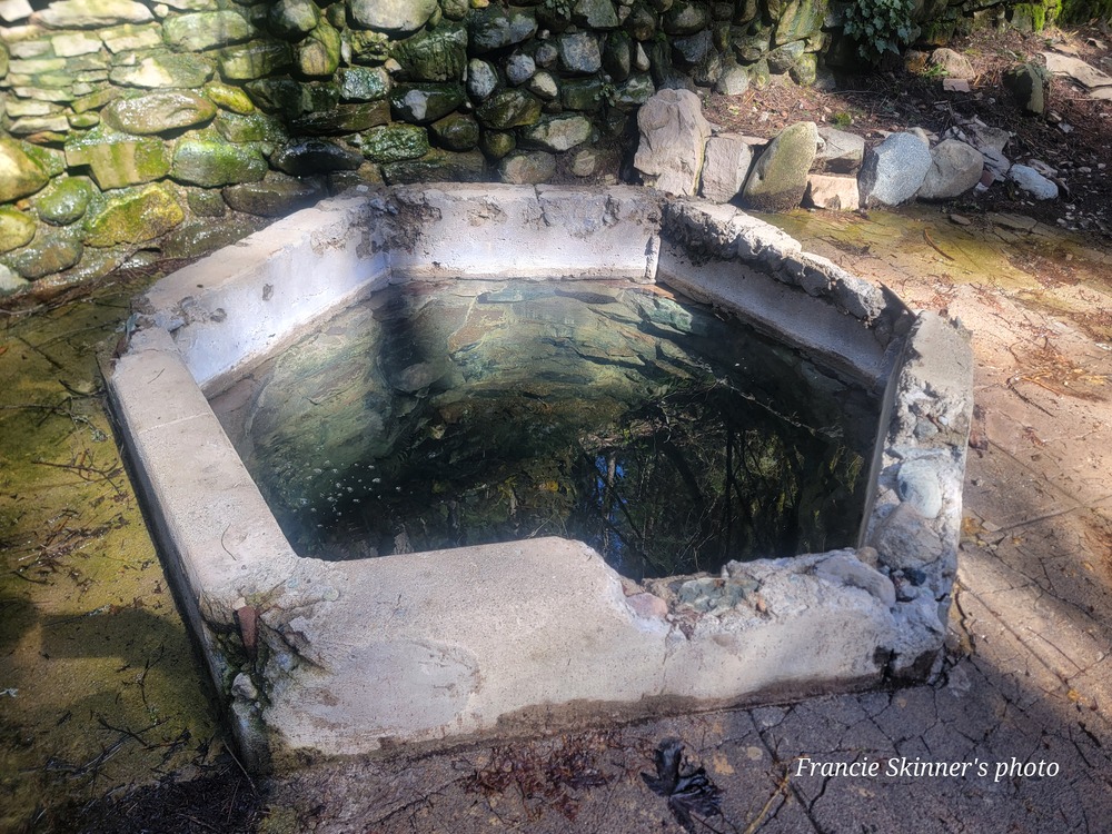
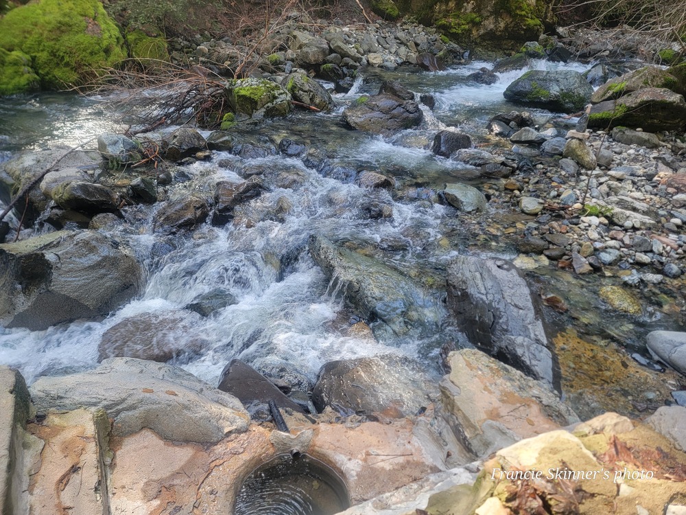
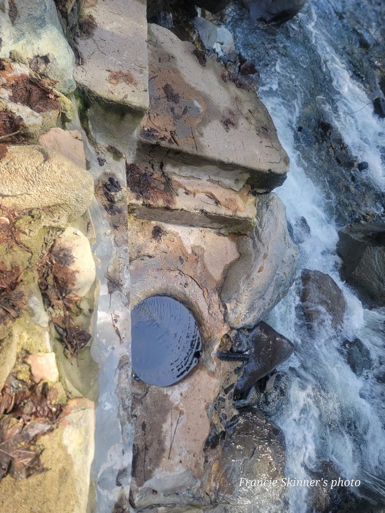
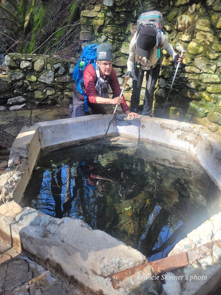
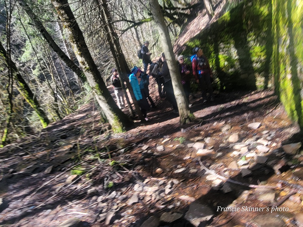
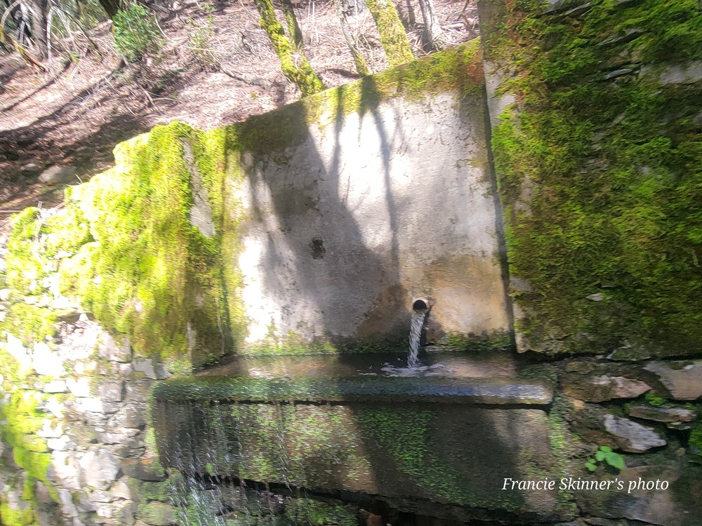
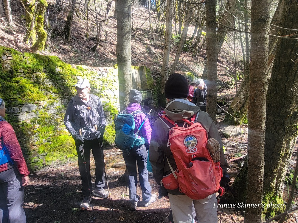
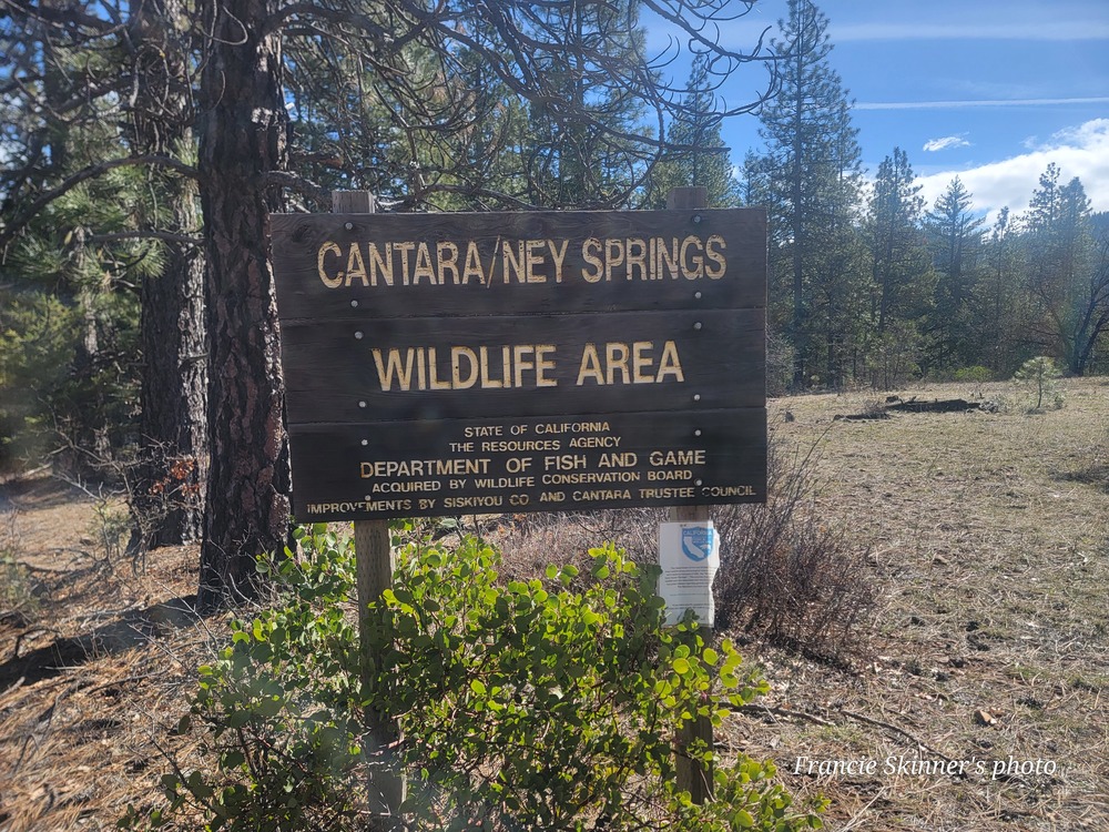
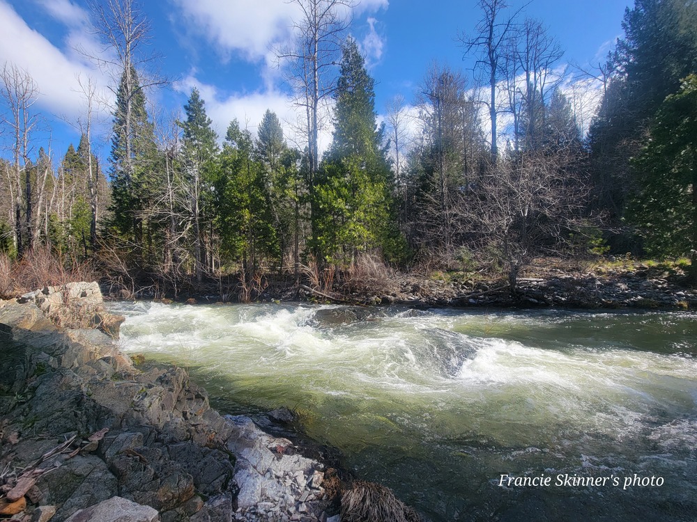
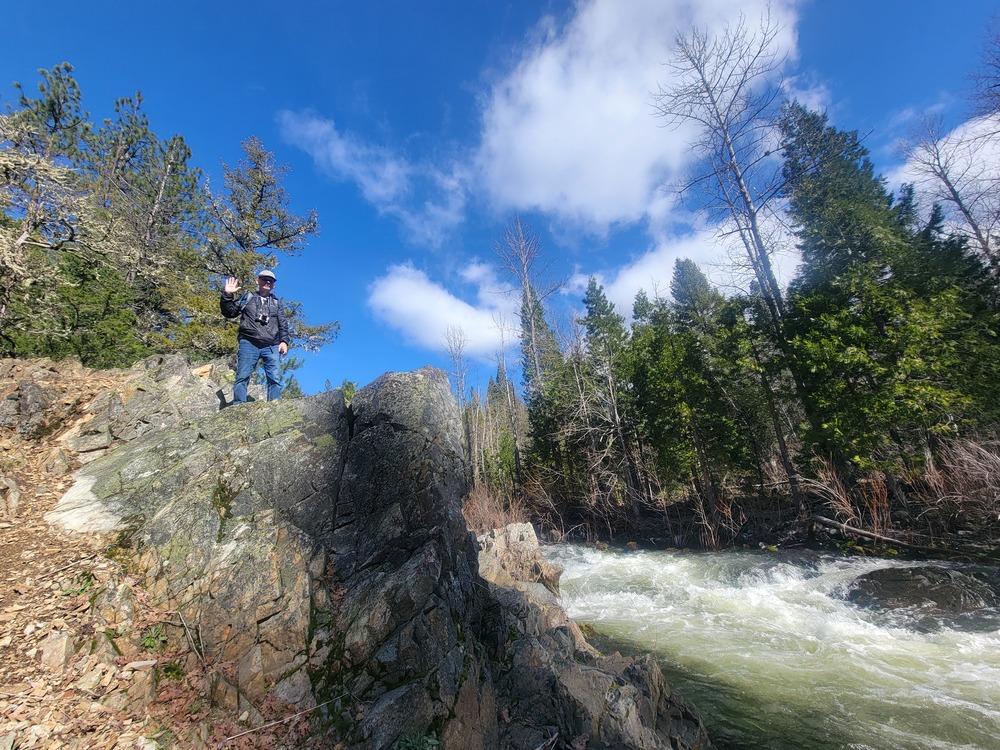
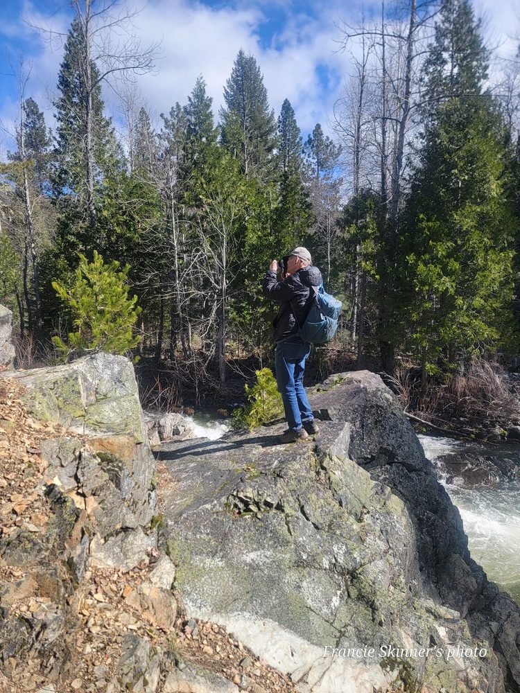
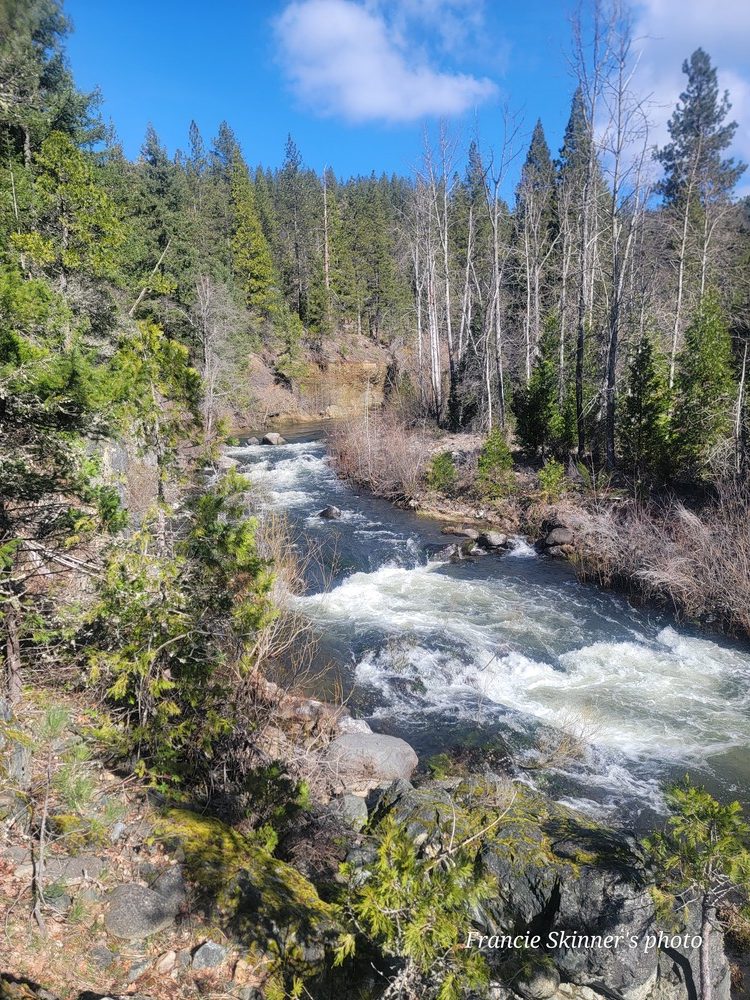
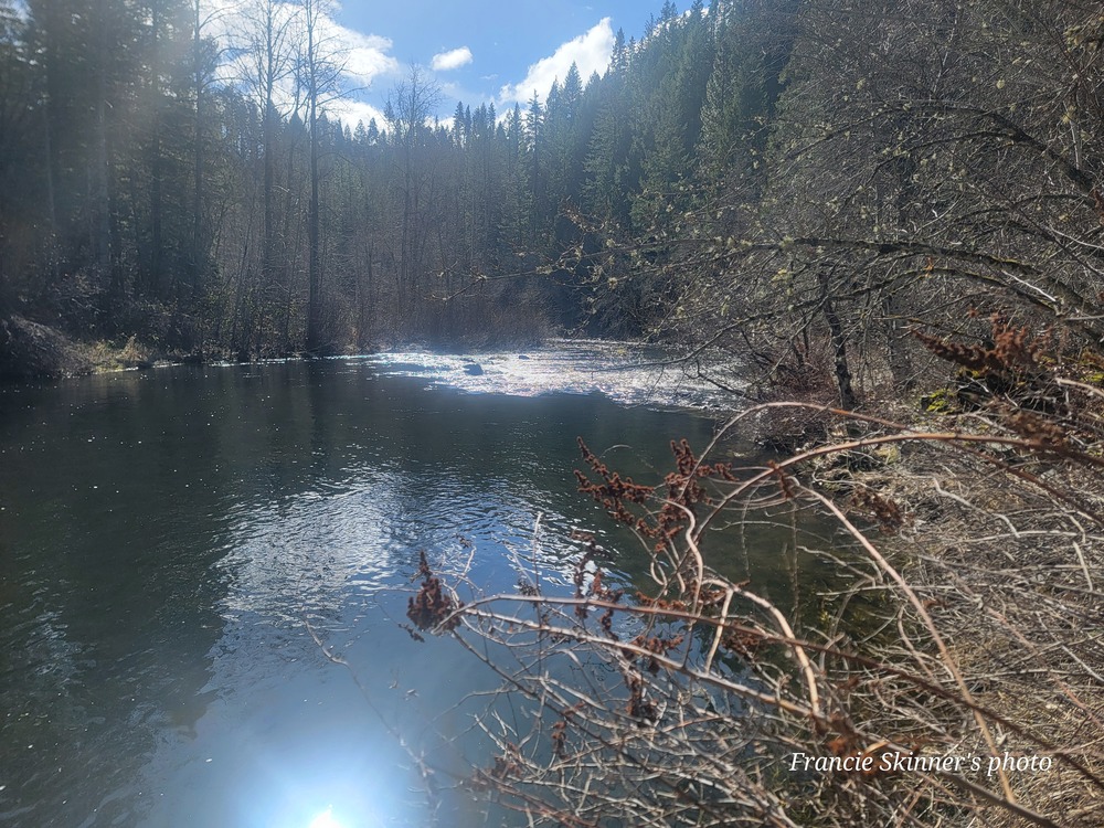
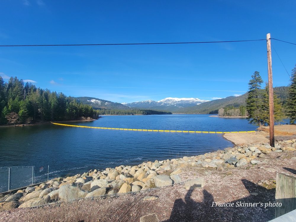
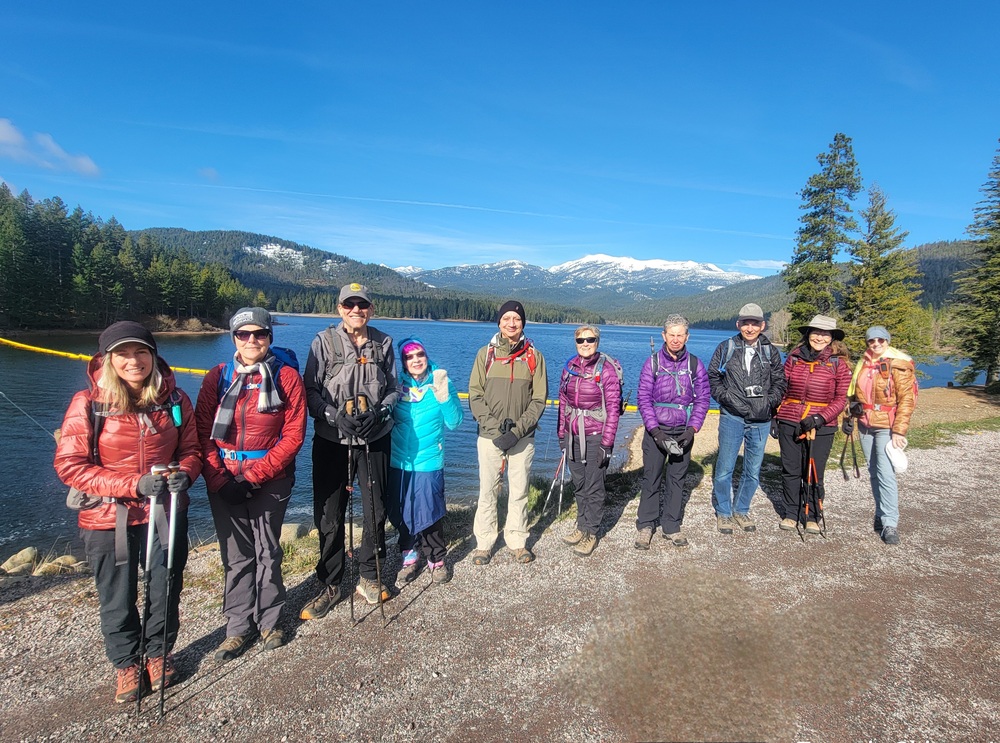
On Wednesday March 13th, ten hikers headed south to the town of Mount Shasta. It was a chilly morning at 37* when we left our cars at a parking lot near the dam to Lake Siskiyou. From there, we followed W A Barr Road across the dam to Ney Springs Road. We continued up the road to The sign that says Cantara/Ney Springs Wildlife Area. From there we went left and down an unnamed road to an area that was marked as Box Canyon on the map. It was on the Sacramento River. There wasn’t much to see there, but just a bit upriver we saw some nice rapids. We then turned around and headed back to Ney Springs Road. We passed the parking lot for Faery Falls and started a little bit of incline. We could smell sulfur and knew we were close to Ney Springs. We first explored a left over stone wall with moss and could see Ney Springs carved into the cement. From there, we went down towards the Creek. “Ney Spring was discovered by John Ney in 1887. A once world-renowned health resort in the 19th century, Ney Springs featured facilities for up to fifty guests, several outbuildings, and a wooden bridge system providing creek access. The resort has since been overtaken by nature and all that remains are moss-covered walls with a spigot that still runs and an old cistern that still gurgles with silica-rich spring water. The water has a pH of 11.6 and a silica content of 4,000 parts per million, the highest values known to occur in natural ground waters. For reference, a mineral spring is generally defined as one that contains a reading of 400 parts/million of total dissolved solids. Ney’s Spring contains 10 times that!”[1] Liz leaned over to see how strong the smell of sulfur was and lost her sunglasses in the cistern. We tried to fish them out but didn’t have any luck. From there, we went back up to the trail and continued to Faery Falls. There was a lot of water flowing over the falls so we really got to enjoy it. We went back up the trail a little bit and found some sunshine and enjoyed our lunch. On the way back, we took a trail to the left just beyond Ney Springs. Linda spotted a Varied Thrush bird along the way. The trail was soft ground and quiet as it was away from the river. We got back to the road and then to our cars. From there, we drove to I-5 and headed south to exit 732. We turned right and then right again and were at the parking lot for Hedge Creek Falls. That is a very short trail only going down about .35 of a mile. The waterfall has a small flow at the top then a much larger flow at the bottom. The trail goes behind the falls and continues to the point that Hedge Creek flows into the Sacramento River. We went back up the trail and to our cars. We were back in Ashland by 4pm.
Francie
[1]
https://www.geocaching.com/geocache/GC8M3R8_neys-sulfur-cistern#:~:text=History%20of%20Ney%20Springs.,bridge%20system%20providing%20creek%20access.
Hike Leader: Francie
Photos By: Francie, Nanci,Randy and Linda