↓
 
Ashland Hiking Group 
 
  • About Us
  • Posted Hikes
    • Recent
    • Monday
    • Wednesday
    • Friday
    • Friday Flower
  • Hike Schedules
    • Monday
      • Current
      • Previous
    • Wednesday
      • Current
      • Previous
    • Friday
      • Current
      • Previous
    • Friday Flower
      • Current
      • Previous
  • Locations
    • Lakes
      • Applegate Lake
      • Azalea Lake
      • Castle Lake
      • Crater Lake
      • Duck Lakes
      • East Boulder Lake
      • Emigrant Lake
      • Fish Lake
      • Kangaroo Lake
      • Lost Creek Lake
      • Mountain Lakes
      • Puck Lakes
      • Seven Lakes
      • Sky Lakes
      • Smith Lake
      • Squaw Lakes
      • Taylor Lake
    • PCT
      • Brown Mountain
      • Castle Crags
      • Cement Bluff
      • Etna Summit
      • Greensprings Area
      • Gumboot Boulder
      • Hyatt/Greensprings Summit
      • Hyatt Reservoir
      • Mt Ashland Area
      • Pilot Rock Area
      • Porcupine Lake
      • Red Buttes
    • Rivers & Streams
      • Elk Creek
      • Frog Pond
      • Kelsey Creek
      • Lower Rogue
      • Mill Creek Falls
      • Sacramento River
      • Squaw Valley Creek
      • Upper Rogue
      • Taylor Creek
    • Snow Shoes
      • Buck Prairie
      • Crater Lake
      • Deadwood
      • Great Meadow
      • Grouse Gap
      • Hyatt Lake
      • Moon Prairie
      • Mt Ashland
      • Mt Shasta
      • Pederson
      • Pilot Rock
      • Summit Sno-Park
    • Mountains & Summits
      • A>L
        • Abbot Butte
        • Anderson Butte
        • Arch Rock
        • Baldy Peak
        • Big Red Mountain
        • Bolt Mountain
        • Castle Crags
        • Collings Mountain
        • Frank Hill Road
        • Grayback Mountain
        • Grizzly Peak
        • Kerby Peak
      • M>Z
        • Mount Ashland
        • Mount Bailey
        • Mount Eddy
        • Mount Elijah
        • Mount Shasta
        • Pompadour Bluff
        • Roxy Ann
        • Squaw Peak
        • Stein Butte
        • Stukel Mountain
        • Table Rocks
        • Union Peak
        • Wagner Butte
    • Woods
      • Ashland City
      • Ashland Watershed
      • Bear Creek Greenway
      • Cathedral Hills
      • Denman Wildlife Refuge
      • East Applegate Ridge
      • Enchanted Forest
      • Greenhorn Park
      • Greensprings Area
      • High Lakes Trail
      • Horseshoe Ranch
      • Jack Ash
      • Jacksonville
      • Layton Mine Ditch
      • Pacifica
      • Sterling Mine Ditch
      • Steves 40 Acres
    • Miscellaneous
  • Images
    • Resize @ 1000H ,1000V & med before uploading
  • Log In

Post navigation

← Older posts
Newer posts →

JACKSONVILLE FOREST PARK

Ashland Hiking Group Posted on April 3, 2024 by Francie SkinnerApril 23, 2024

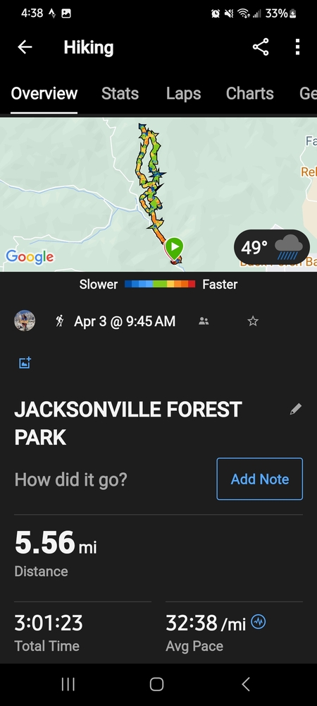
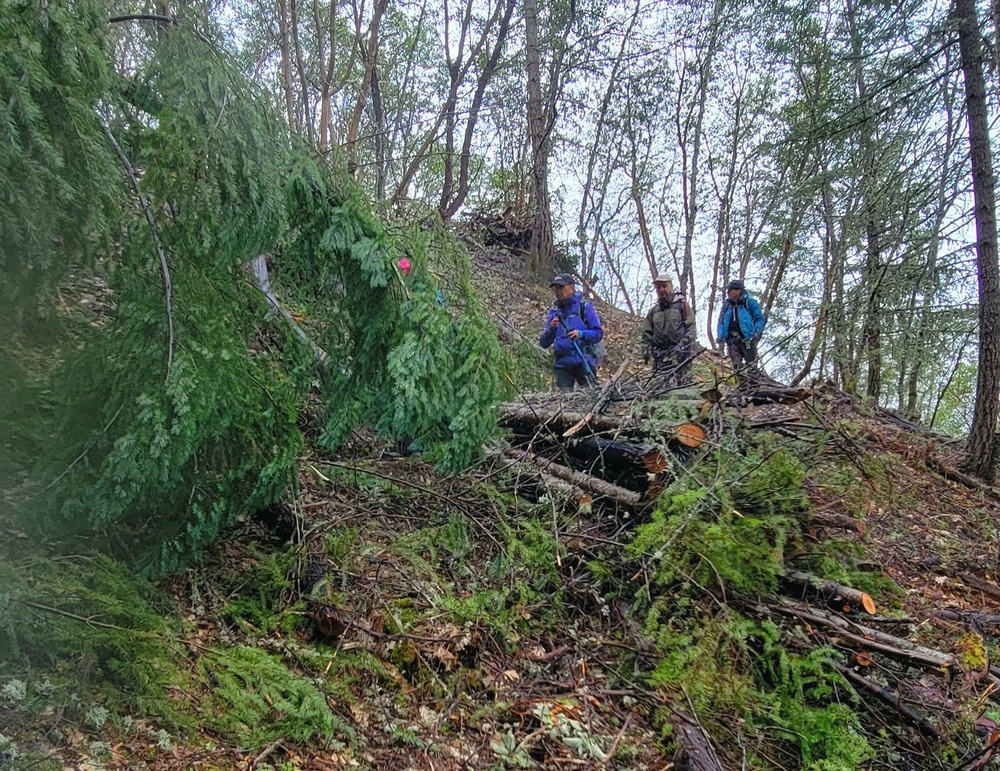
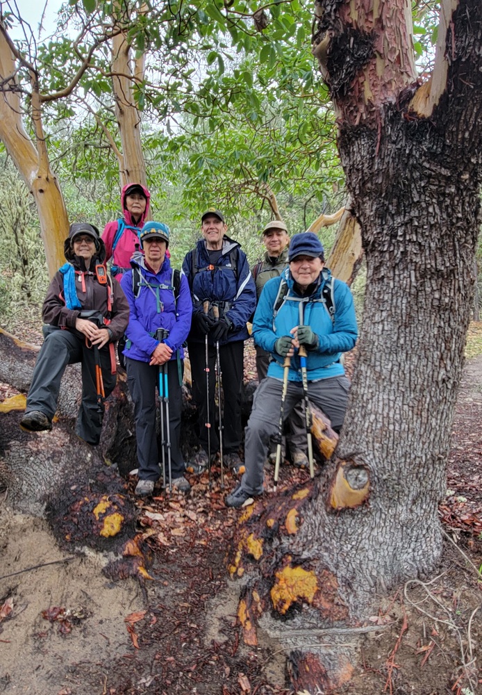
On Wednesday April 3rd six hikers came out to hike in the Jacksonville Forest Park. The weather prediction was for showers. Fortunately, they were light and we never got very wet. It was 49* when we began at 9:45am. We were happy to have Ki rejoin us and also Mike Sanson.
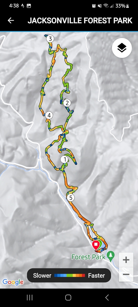
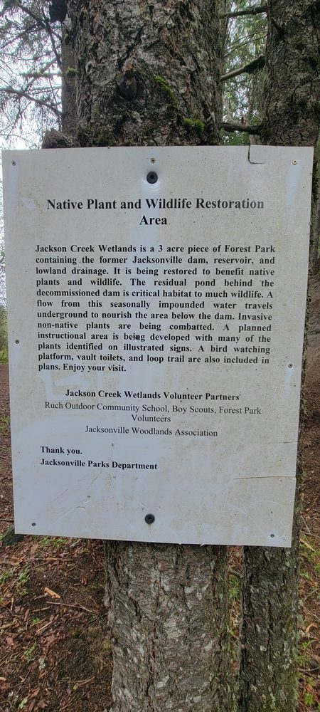
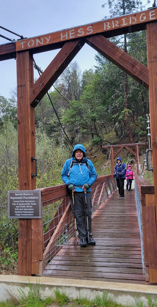
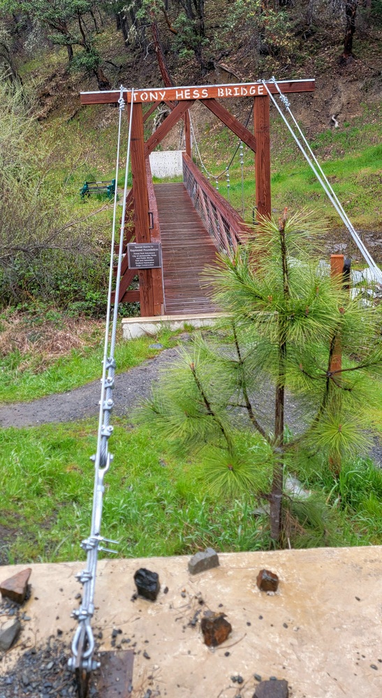
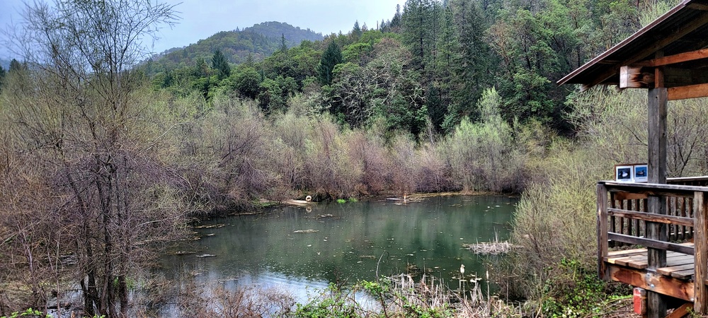
We started from the P1A Parking area and went to an observation deck and saw some ducks in the Jacksonville Reservoir. The Jacksonville dam and reservoir was built in 1912 to provide a source of drinking water to Jacksonville. We then made our way over the Tony Hess bridge.
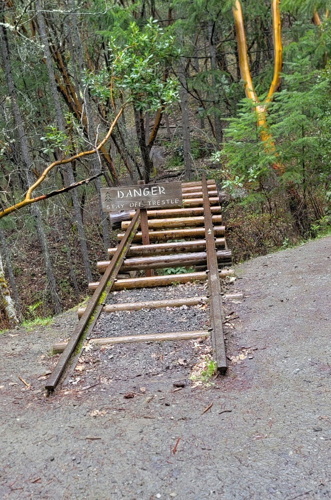
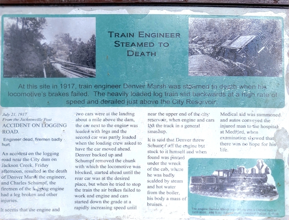
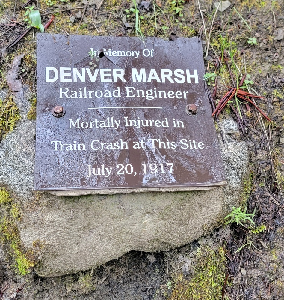
We started heading up the Rail-Trail and came to an old Railroad Trestle. There is a 1917 story about the death of train engineer Denver Marsh. A heavily loaded locomotive train’s brakes failed and slid backwards at a high rate of speed and derailed just above the City Reservoir. Marsh threw Charles Schumph off the engine but stuck to it himself. Medical aid was summoned and he was taken to the hospital where there was no hope for his life. Schumph had a broken leg and other injuries but survived.
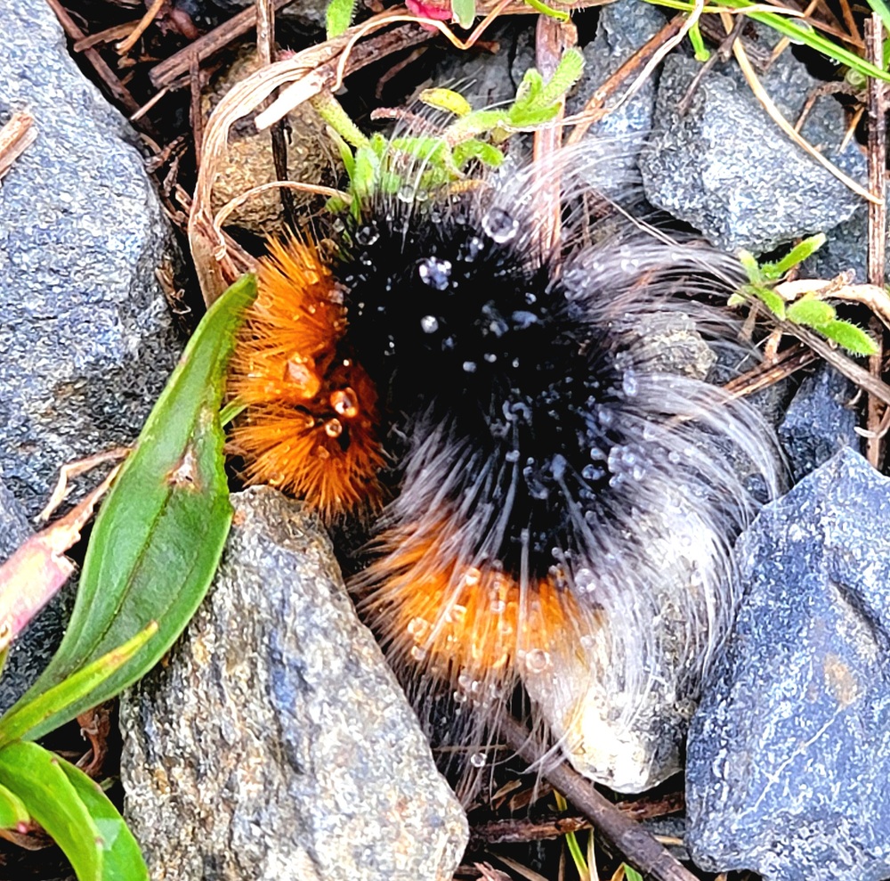
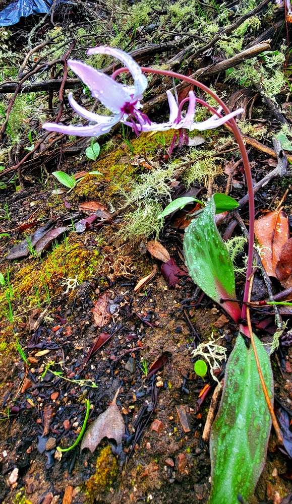
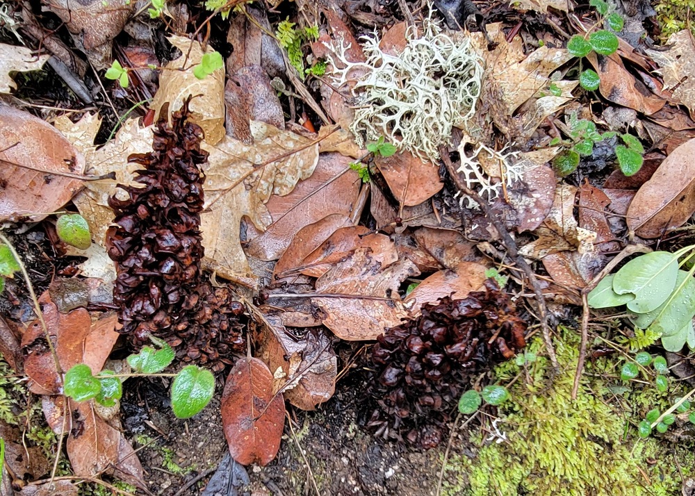
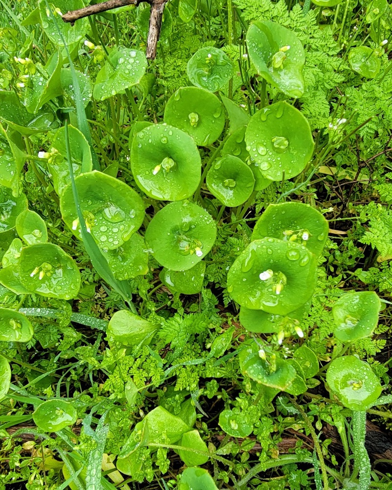
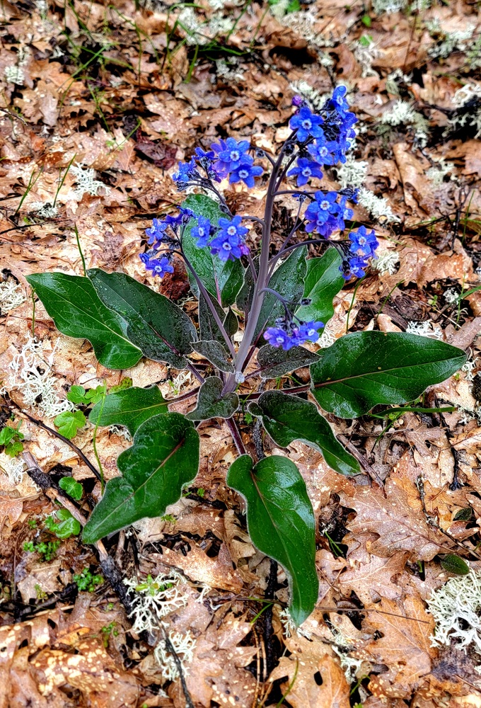
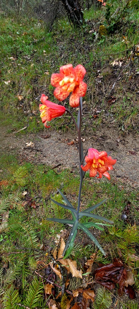
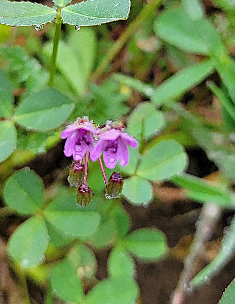
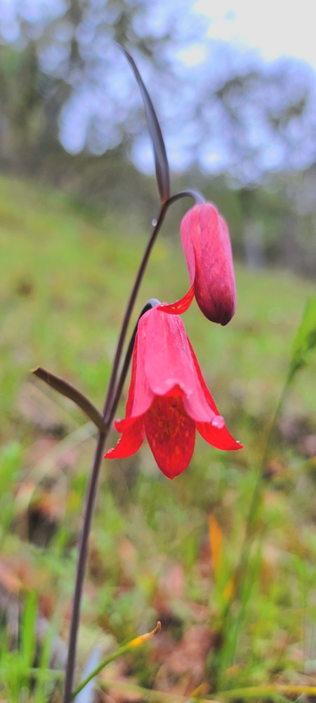
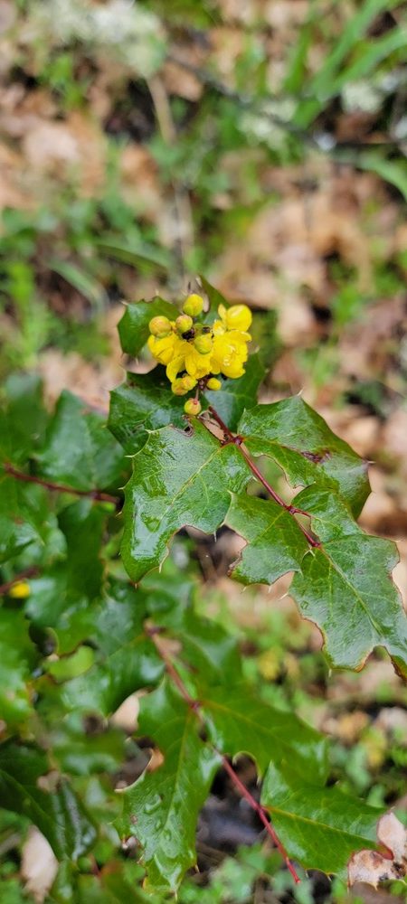
We continued up the Rail-Trail and then to the Siskiyou trail then up many switchbacks to the Rattlesnake Trail. As we hiked we saw Oregon Grape, Henderson’s Shooting Star, Woodland Star, Blue Dick, Popcorn flowers, Hound’s Tongue, Fritillaria Recuva and possibly Fritilaria Genteri, Fawn Lily and a few others I do not know the names of.
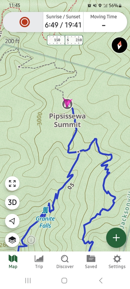
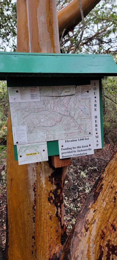
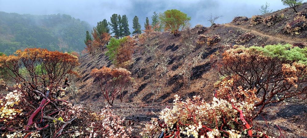
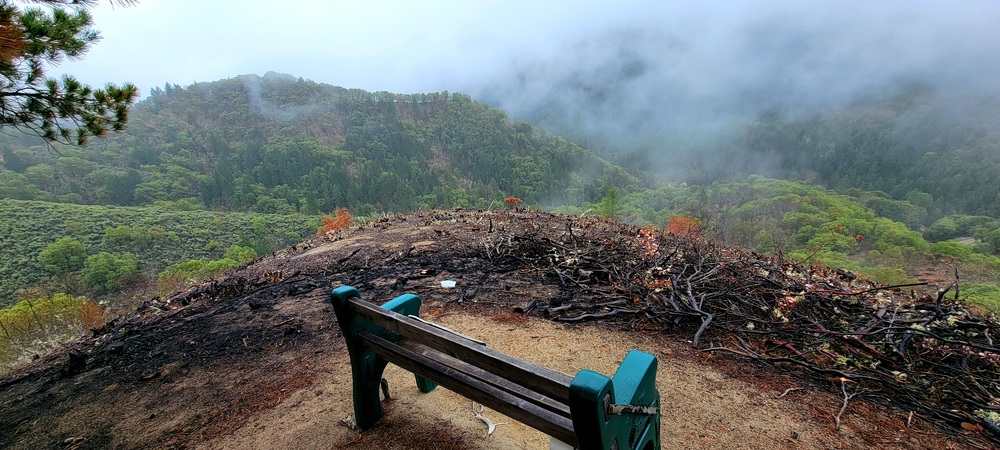
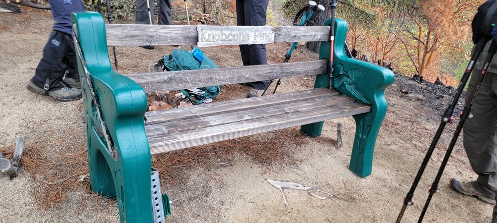
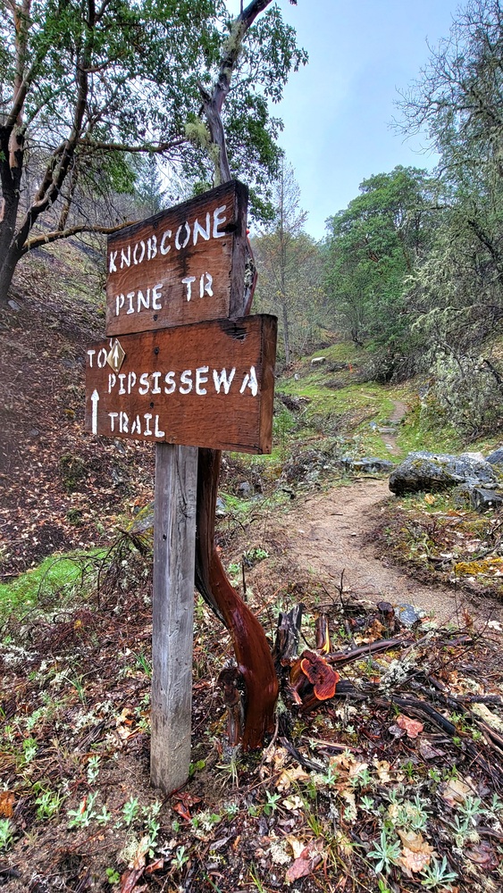
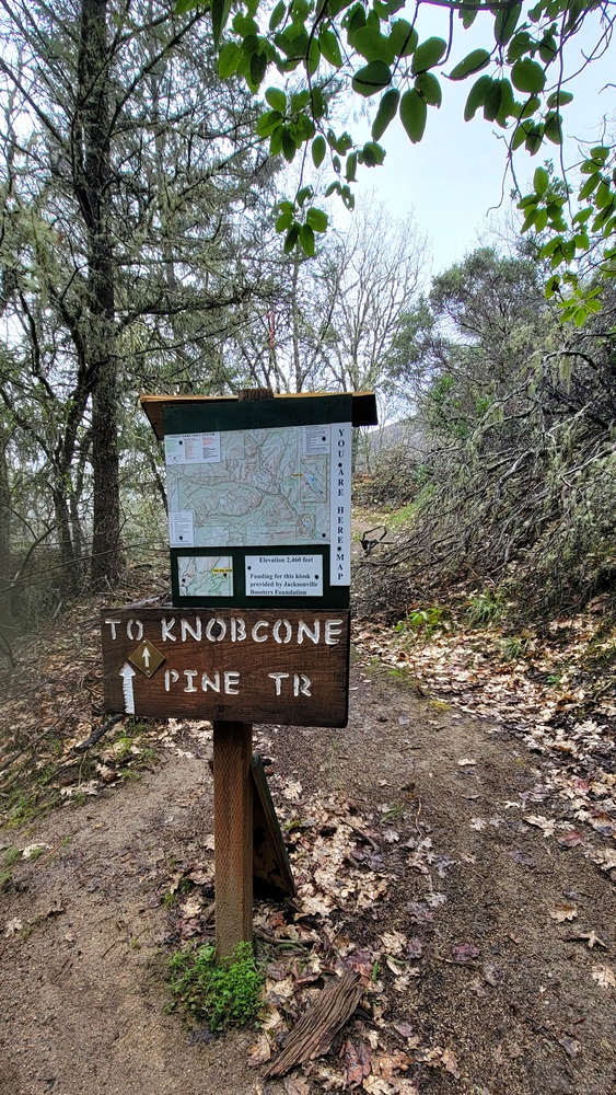
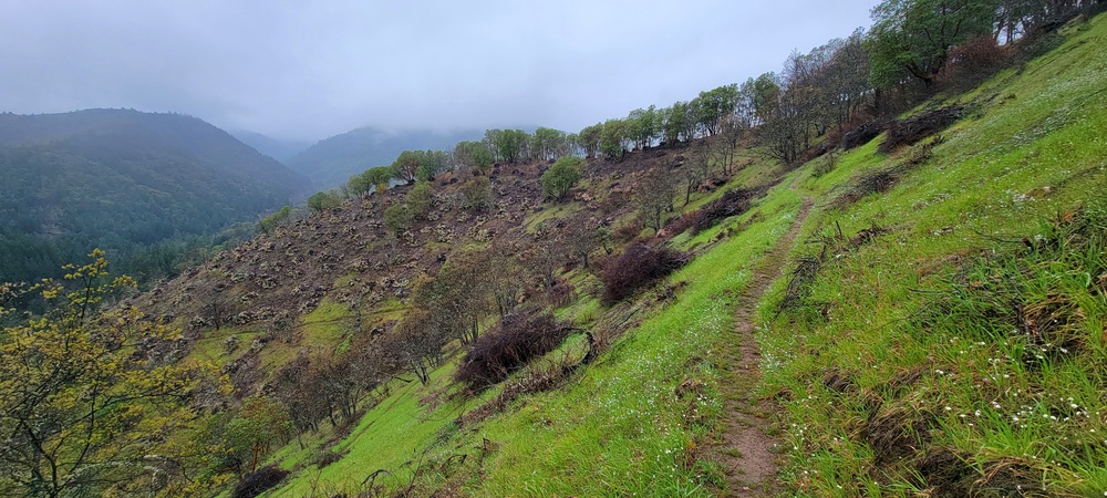
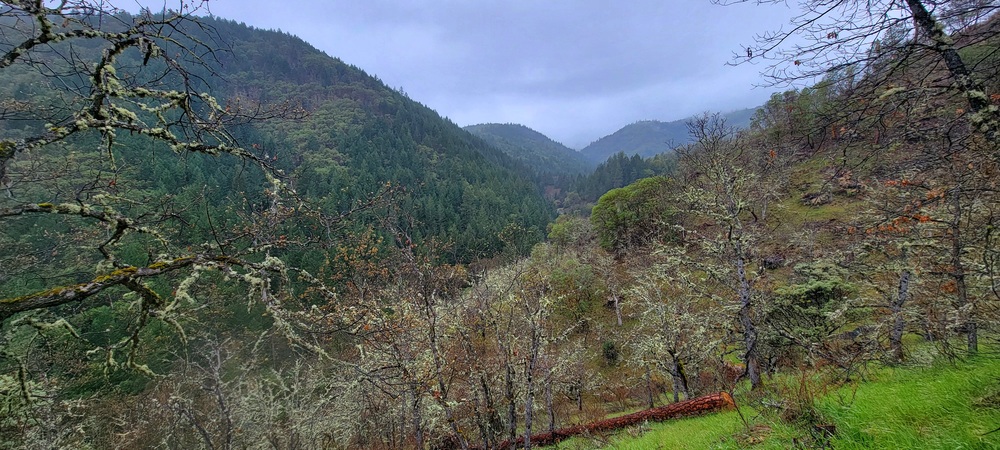
The clouds were low and we never had outstanding views. We could see where there has been a lot of work on the mountainside where they have cut away lots of Manzanita. As we were approaching the Knobcone Pine bench, most of the hillside was burn patches. We wondered what the reason for such a drastic burn of that particular section of the trail system was. Once we reached the bench, we had a bite to eat. From there, we continued up to Pipsissewa Summit. Gaia GPS has a binocular icon meaning there should be a view. We were disappointed to find out that there was just a kiosk with a map and a sign that said the elevation was 3040.
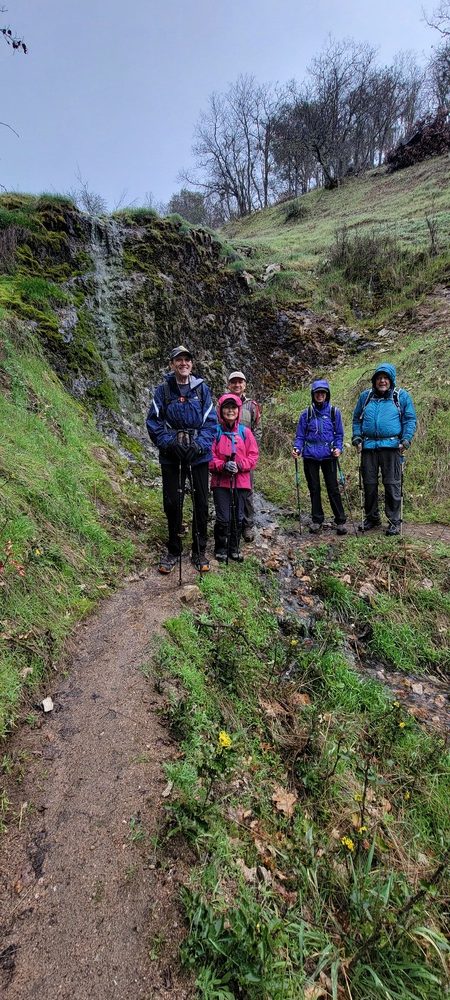
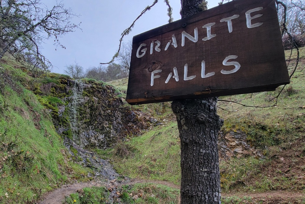
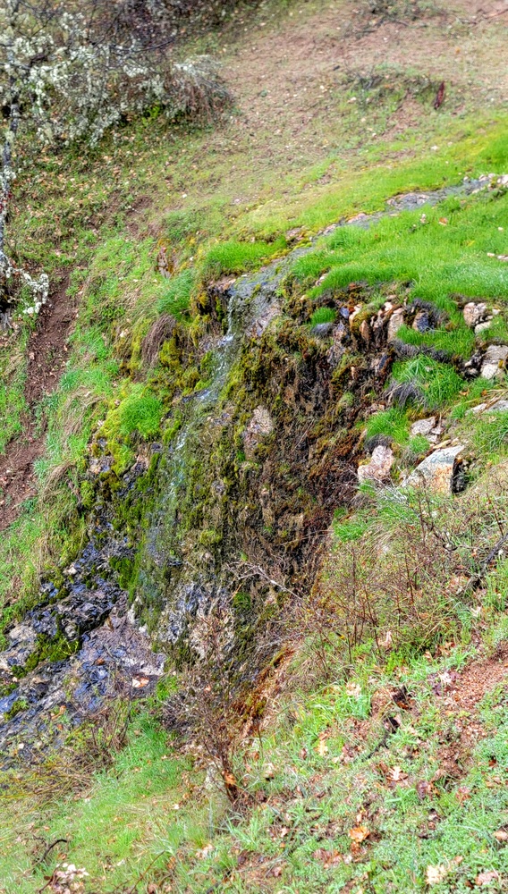
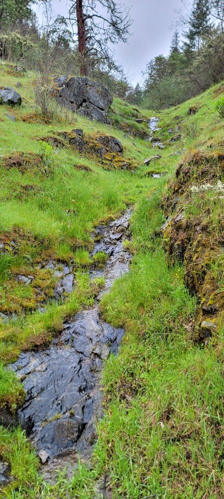
We headed back down the Pipsissewa Trail and made a quick stop at Granite Falls. The flow was very little, but it was the first time I had seen water coming down the drop off. We then connected to the Siskiyou Trail, then the Rail-Trail, the Norling trail and then back to the Jacksonville Dam and our cars. We were done hiking by a little after 1pm. We hiked 5.56 miles and had around 1574 feet of elevation gain.

Hike Leader: Francie

Photos By: Francie

Download GPX

Posted in Jacksonville, Wednesday, Woods

Post navigation

← Older posts
Newer posts →
↑