↓
 
Ashland Hiking Group 
 
  • About Us
  • Posted Hikes
    • Recent
    • Monday
    • Wednesday
    • Friday
    • Friday Flower
  • Hike Schedules
    • Monday
      • Current
      • Previous
    • Wednesday
      • Current
      • Previous
    • Friday
      • Current
      • Previous
    • Friday Flower
      • Current
      • Previous
  • Locations
    • Lakes
      • Applegate Lake
      • Azalea Lake
      • Castle Lake
      • Crater Lake
      • Duck Lakes
      • East Boulder Lake
      • Emigrant Lake
      • Fish Lake
      • Kangaroo Lake
      • Lost Creek Lake
      • Mountain Lakes
      • Puck Lakes
      • Seven Lakes
      • Sky Lakes
      • Smith Lake
      • Squaw Lakes
      • Taylor Lake
    • PCT
      • Brown Mountain
      • Castle Crags
      • Cement Bluff
      • Etna Summit
      • Greensprings Area
      • Gumboot Boulder
      • Hyatt/Greensprings Summit
      • Hyatt Reservoir
      • Mt Ashland Area
      • Pilot Rock Area
      • Porcupine Lake
      • Red Buttes
    • Rivers & Streams
      • Elk Creek
      • Frog Pond
      • Kelsey Creek
      • Lower Rogue
      • Mill Creek Falls
      • Sacramento River
      • Squaw Valley Creek
      • Upper Rogue
      • Taylor Creek
    • Snow Shoes
      • Buck Prairie
      • Crater Lake
      • Deadwood
      • Great Meadow
      • Grouse Gap
      • Hyatt Lake
      • Moon Prairie
      • Mt Ashland
      • Mt Shasta
      • Pederson
      • Pilot Rock
      • Summit Sno-Park
    • Mountains & Summits
      • A>L
        • Abbot Butte
        • Anderson Butte
        • Arch Rock
        • Baldy Peak
        • Big Red Mountain
        • Bolt Mountain
        • Castle Crags
        • Collings Mountain
        • Frank Hill Road
        • Grayback Mountain
        • Grizzly Peak
        • Kerby Peak
      • M>Z
        • Mount Ashland
        • Mount Bailey
        • Mount Eddy
        • Mount Elijah
        • Mount Shasta
        • Pompadour Bluff
        • Roxy Ann
        • Squaw Peak
        • Stein Butte
        • Stukel Mountain
        • Table Rocks
        • Union Peak
        • Wagner Butte
    • Woods
      • Ashland City
      • Ashland Watershed
      • Bear Creek Greenway
      • Cathedral Hills
      • Denman Wildlife Refuge
      • East Applegate Ridge
      • Enchanted Forest
      • Greenhorn Park
      • Greensprings Area
      • High Lakes Trail
      • Horseshoe Ranch
      • Jack Ash
      • Jacksonville
      • Layton Mine Ditch
      • Pacifica
      • Sterling Mine Ditch
      • Steves 40 Acres
    • Miscellaneous
  • Images
    • Resize @ 1000H ,1000V & med before uploading
  • Log In

Post navigation

← Older posts
Newer posts →

Anderson Ridge from Greenstone TH

Ashland Hiking Group Posted on April 1, 2024 by Randy BryanApril 23, 2024

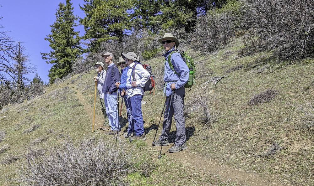
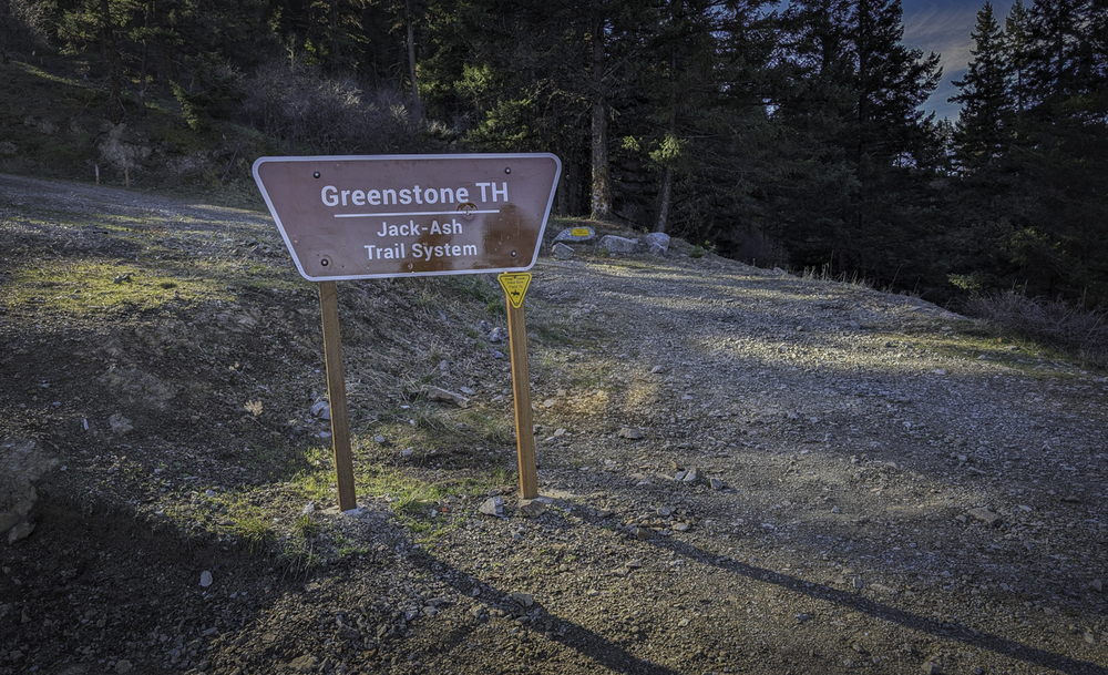
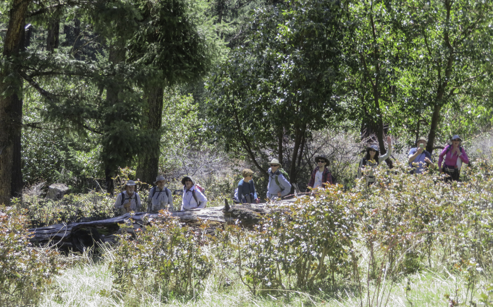
Monday we had a great turnout of 16 hikers once we all came together at the Greenstone TH. The first surprise was the huge pile of gravel from years past had been removed to make room for a large parking area.😄

It was a great day with blue skies and mild weather that would move up into the 60s.

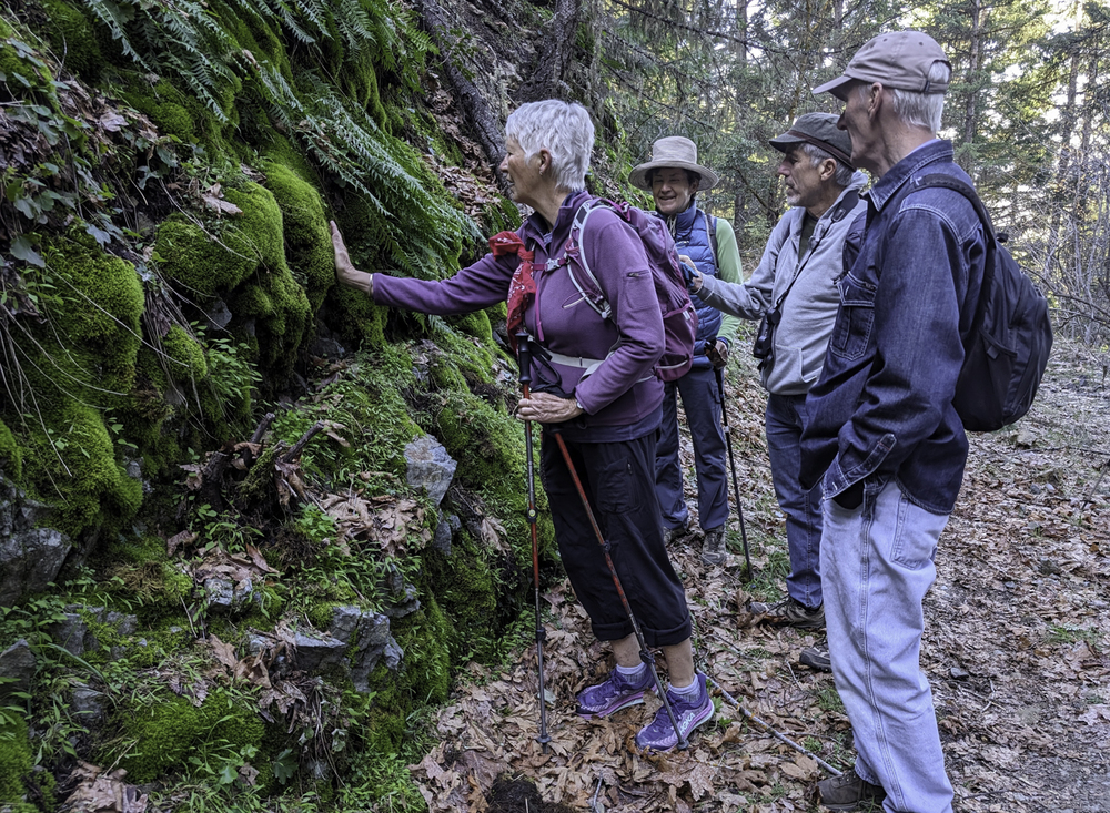
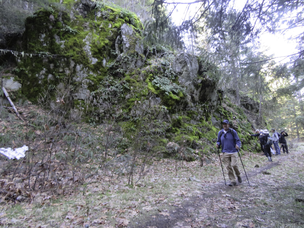
We had a new hiker, a returning veteran, and some members who hadn’t experienced this wonderful hike.

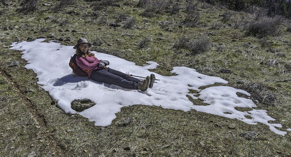
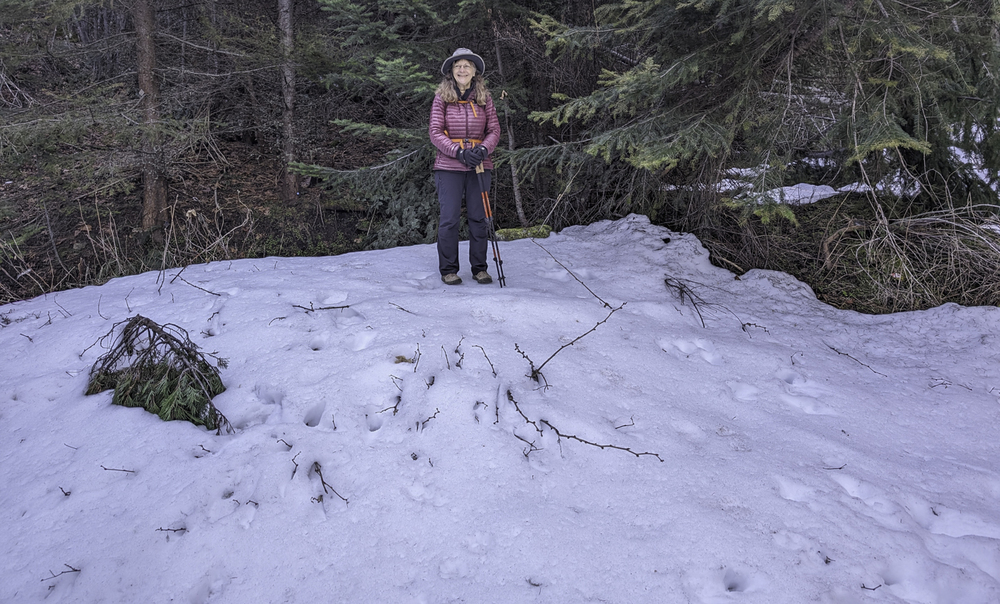
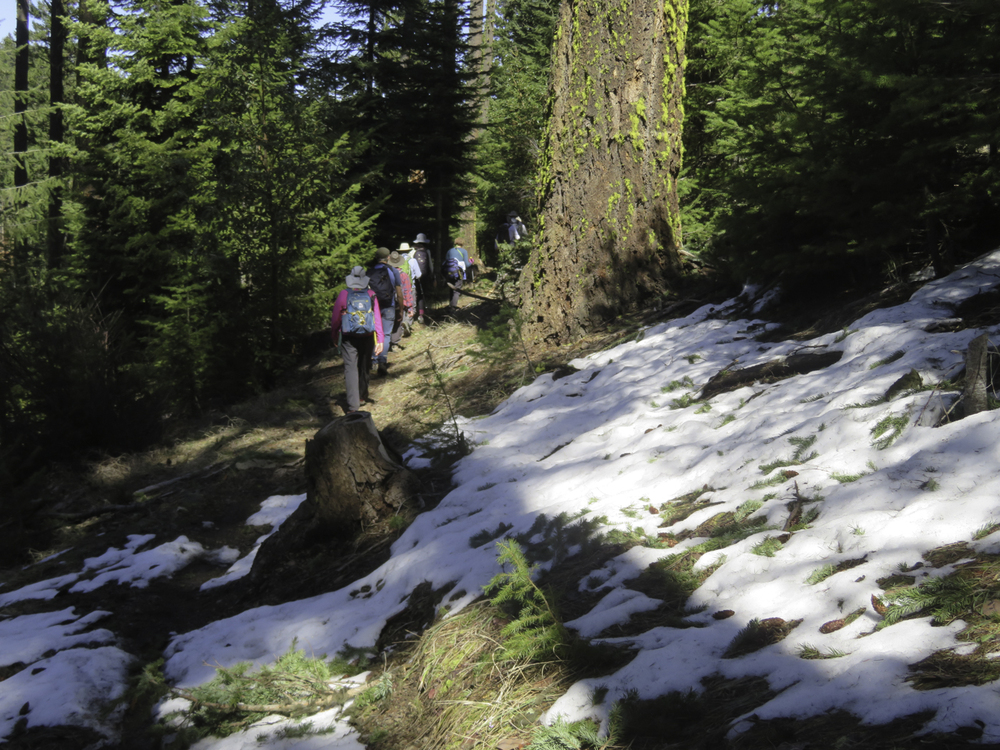
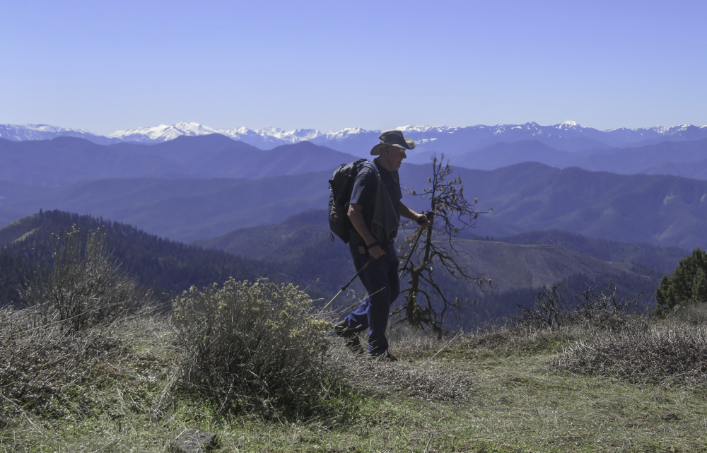
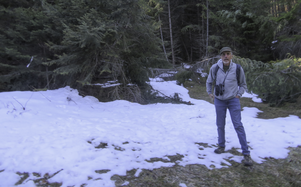
The hike starts with a rocky climb up the Greenstone Trail (named for the green serpentine rocks) which had some patchy snow in the shade. Then the trail starts switching up into the forest as it gains elevation to meet Anderson Ridge at 4,900′. Near the top of the forest trail, there was some snow and deadfall across the path, but everyone got through without too much difficulty.

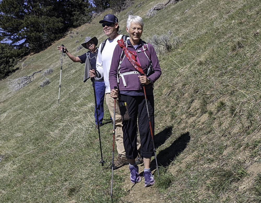
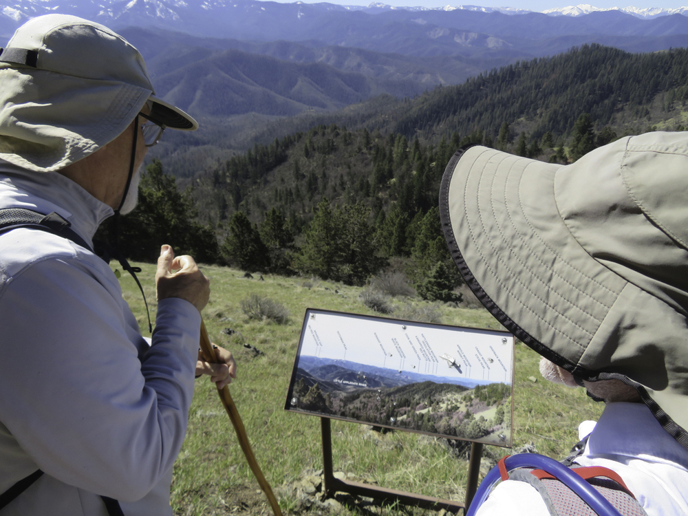
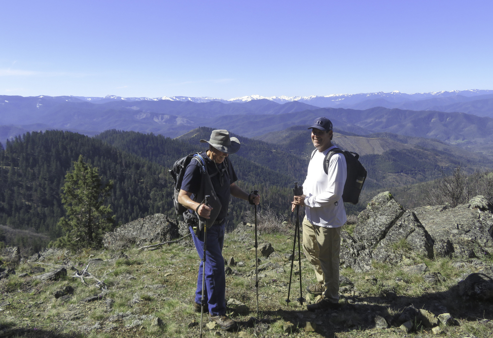
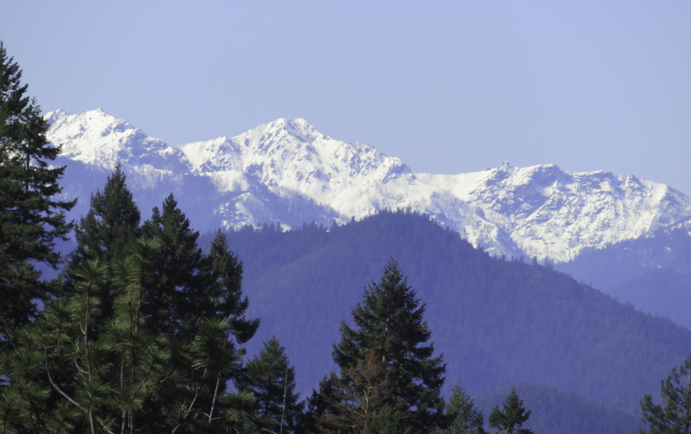
As we came out of the shaded forest there were lots of oohs! & aahs! as we broke into the sunlight and saw the snow-covered Siskiyous across the Little Applegate Valley. After taking it all in with time for snapshots we headed to the right to visit the valley overlook.

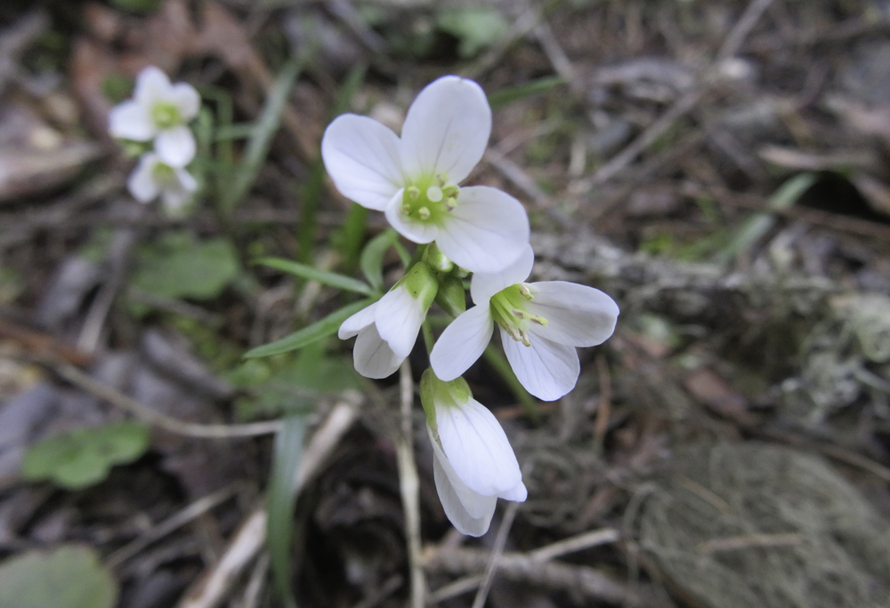
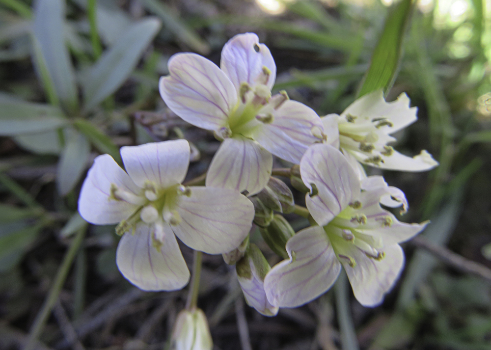
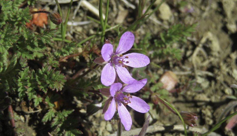
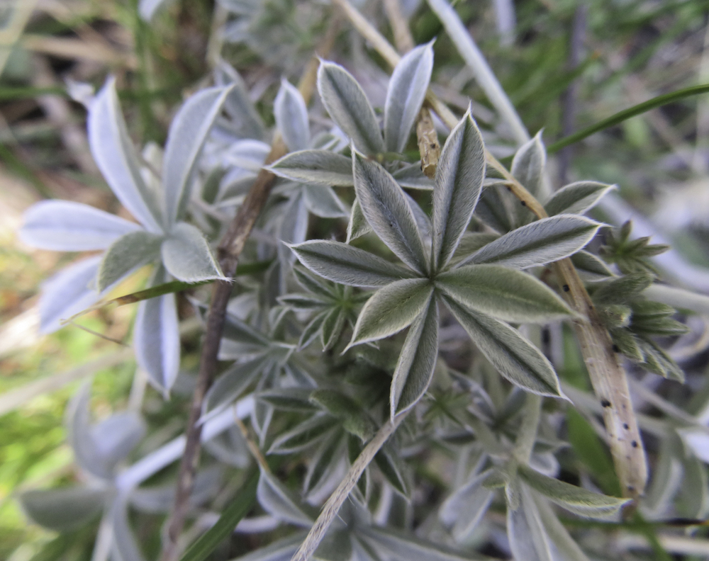
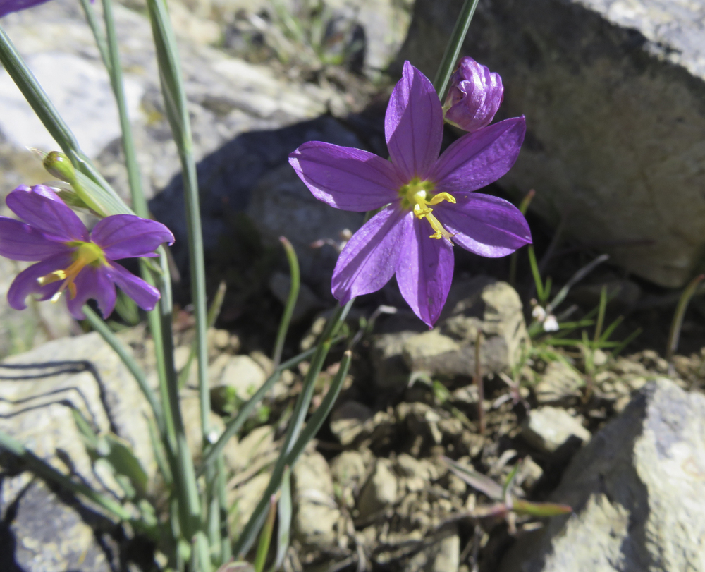
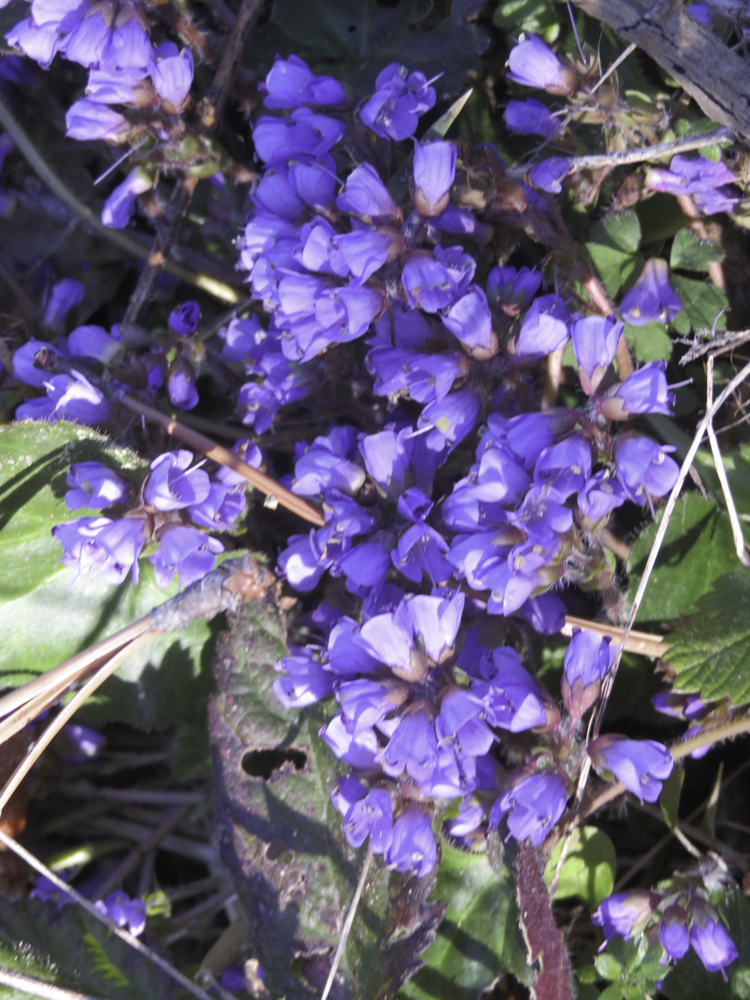
Linda found lots of new wildflowers to photograph starting with the Grass Widows on the overlook.

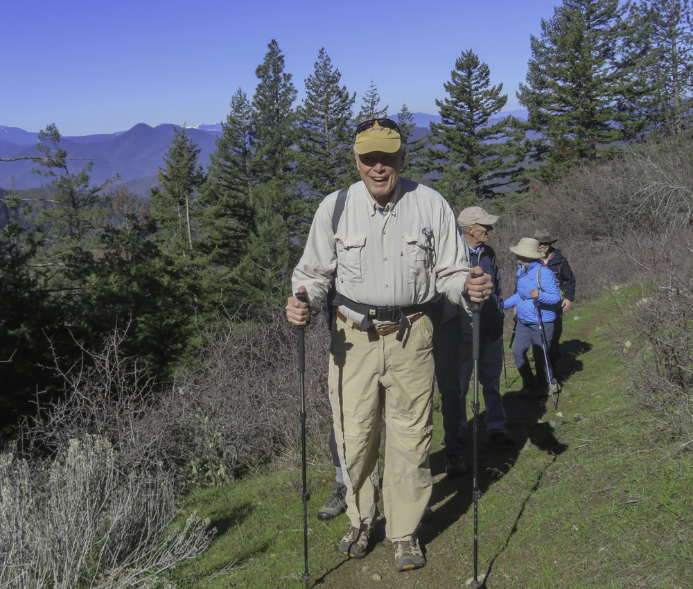
After some wardrobe changes, we headed east for 1+ miles along the ridge under the bright sun to our lunch spot next to Anderson Butte Road. Another surprise was hearing a car door close as we approached the lunch spot; and another new parking area that wasn’t there before. While visiting with the couple in the van we learned there is another new parking area up at Anderson Butte Summit. Progress!

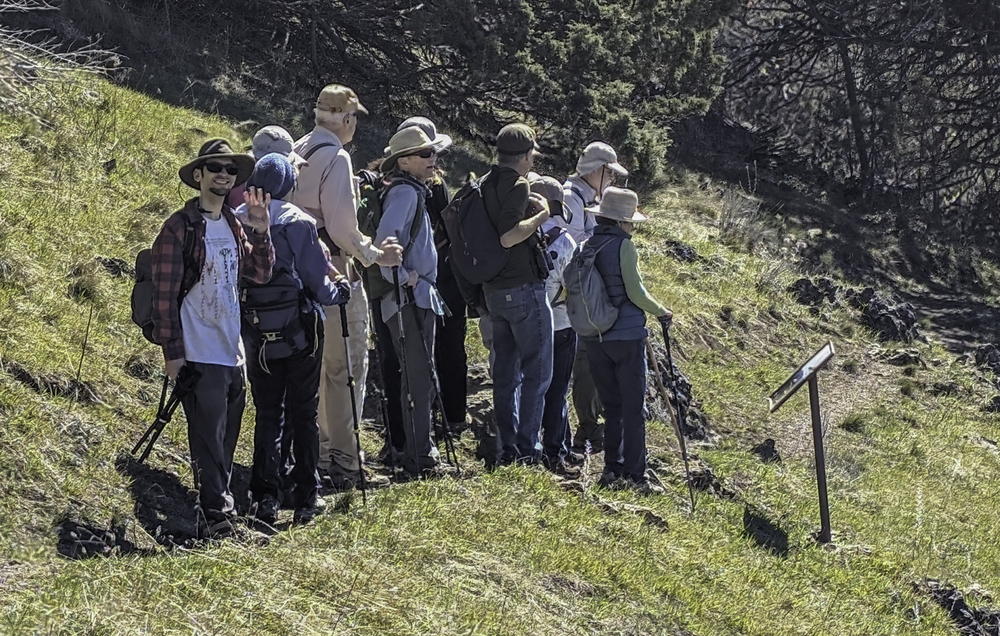
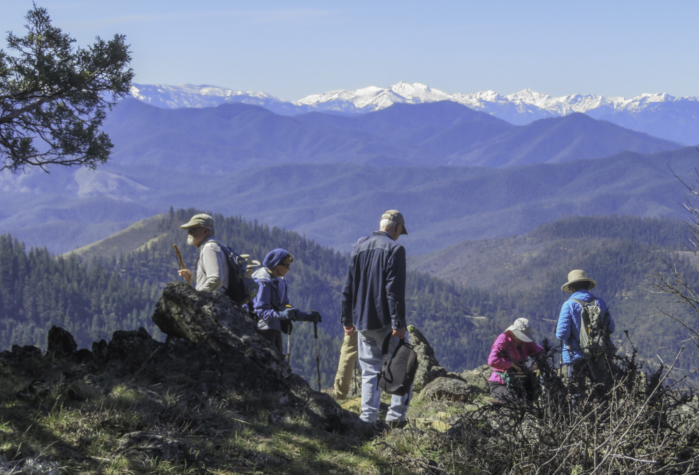
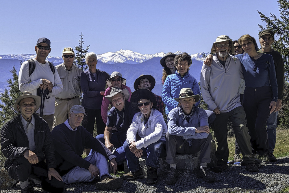
Randy took our group picture while we stood in the new parking area and skillfully inserted the Siskiyous in the background.

Also a surprise, we didn’t hear any gunfire reports all day, so perhaps the moratorium on shooting is holding for now.

While the group took a leisurely lunch and enjoyed the warmth of the sun, some of us crossed the road to explore a decommissioned dirt road that may be used as a continuation of the Jack Ash Trail towards Wagner Butte. We went less than a half mile on the rocky road and did find two grassy hillsides that would serve as good lunch spots.

Done exploring, we headed back to join the rest of the group and after a few head counts we started the 3.2 mile trek down to the Greenstone TH. Greenstone to lunch is 6.4 miles RT with 1,000′ of gain…7.0 miles for the explorers.

Back at TH parking, it was high fives and handshakes for a hike well done, and then our five carloads headed out with some stopping at Boomtown for refreshments and conversation.

Hike Leader: Rich Stickle

Photos By: Linda, Randy

Posted in Anderson Butte, Monday, Mountains & Summits, Woods

Post navigation

← Older posts
Newer posts →
↑