The third time’s the charm for your Monday hike leader. After assisting Liz, our Flower Floosie, with Wildflower Walks on Friday at the Table Rocks with the AHG and on Sunday with a group from the Nature Conservancy and BLM, on Monday I finally got to lead our group to the top of Upper Table Rock. On Friday and Sunday, we stayed on the lower trails of both Table Rocks which had ample spring flowers to identify.
The weather improved daily from Friday to Monday, with Monday going from the 50s to the 60s with bright sunlight through mixed clouds and calm winds.
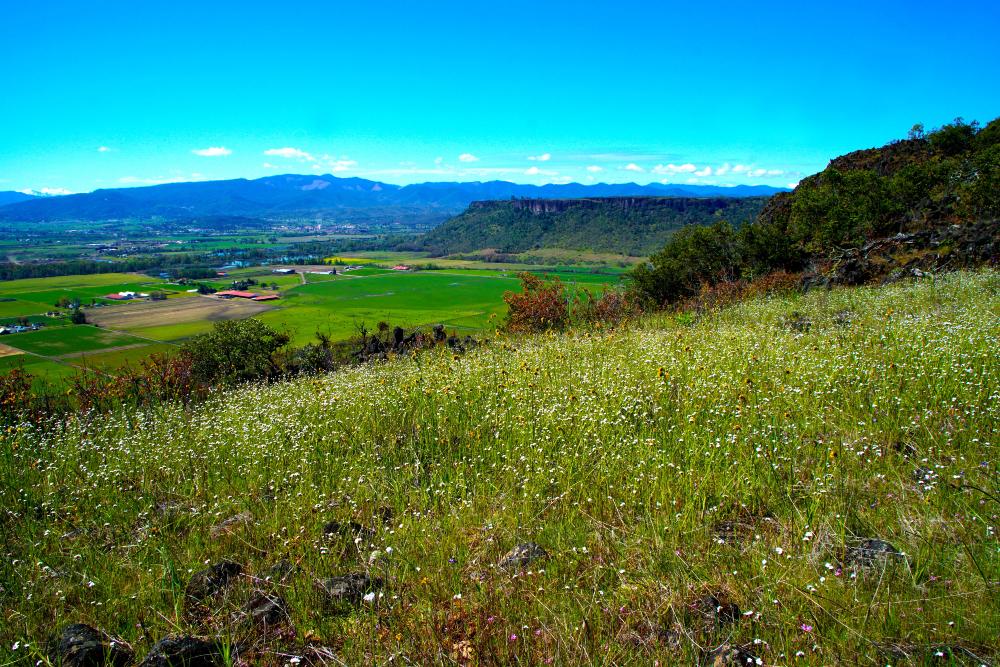
We used the improved trail up to the top of Upper Table Rock. The trail is longer but with a more gradual ascent and more good views of the valley. More gravel has been laid down to improve traction during wet weather. It appeared that the trail improvement project is still a work in progress with more work to be done next off-season.
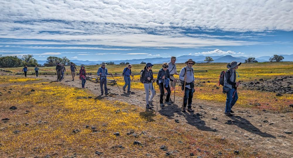
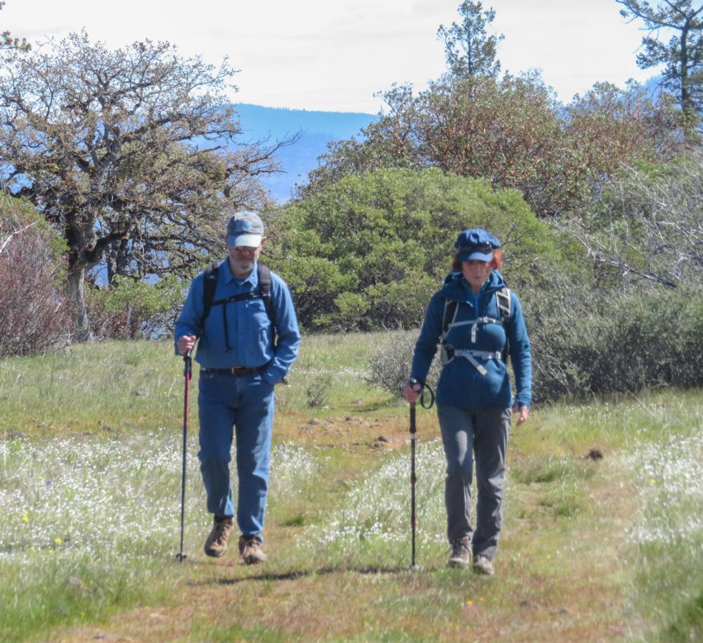
The trail improvement and the improving weather resulted in a nearly full parking lot where 17 AHG hikers made their greetings.
Monday was also a solar eclipse day so before we started on the trail we made sure everyone had sunglasses and some members brought special cardboard dark lenses for viewing eclipses that would be shared during the peak of the day’s eclipse.
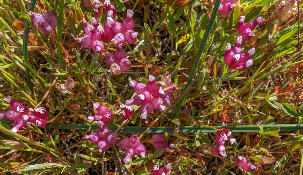
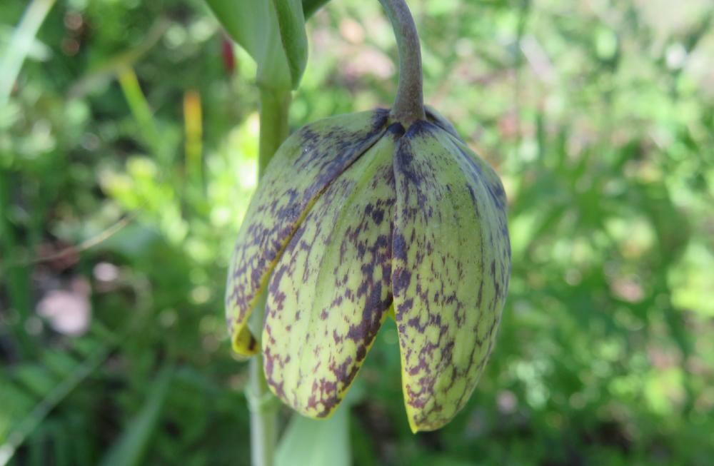
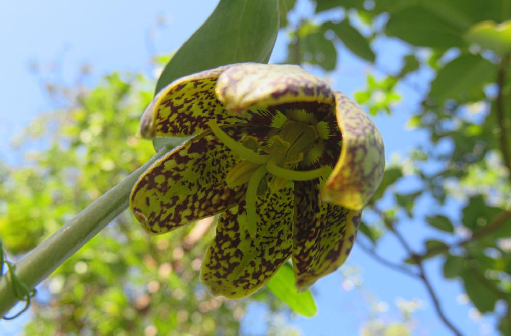
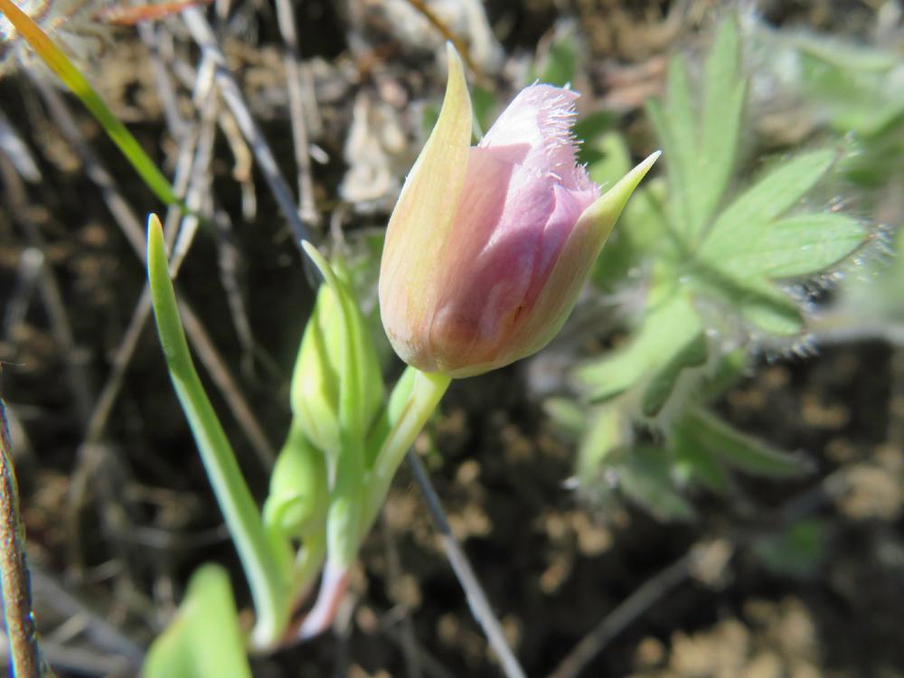
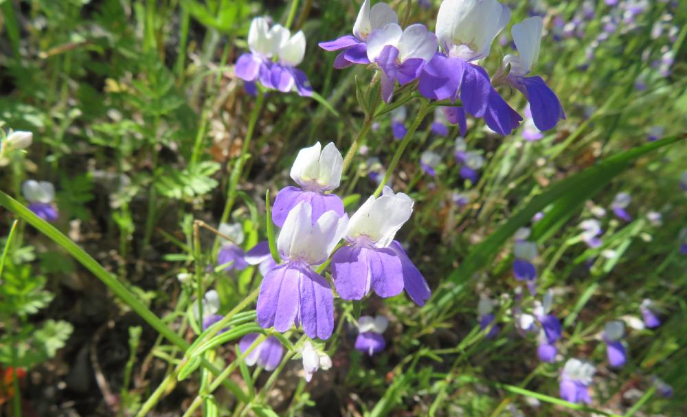
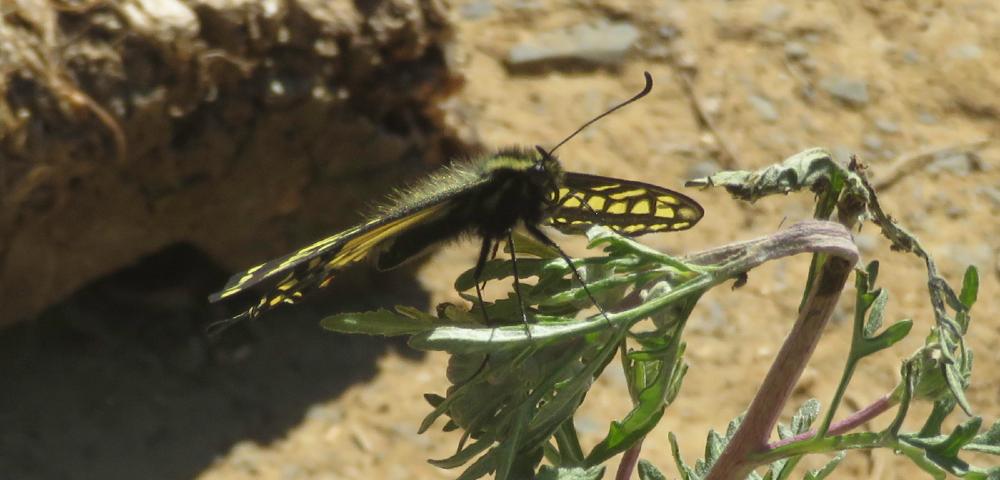
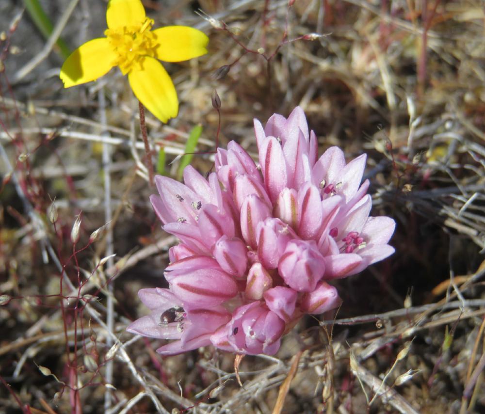
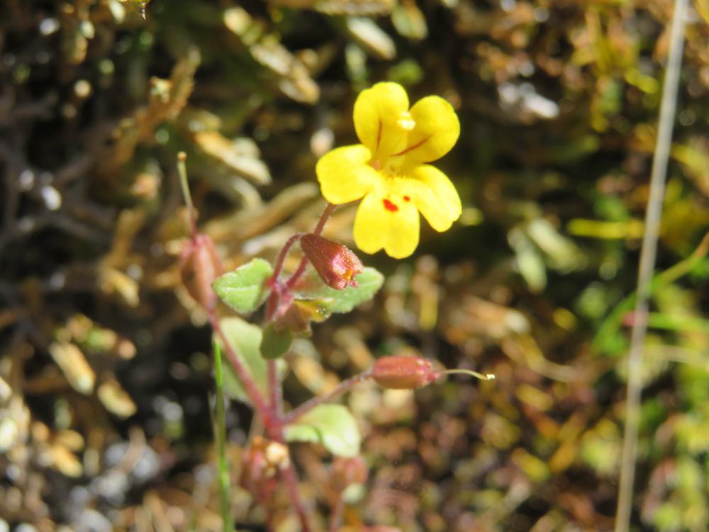
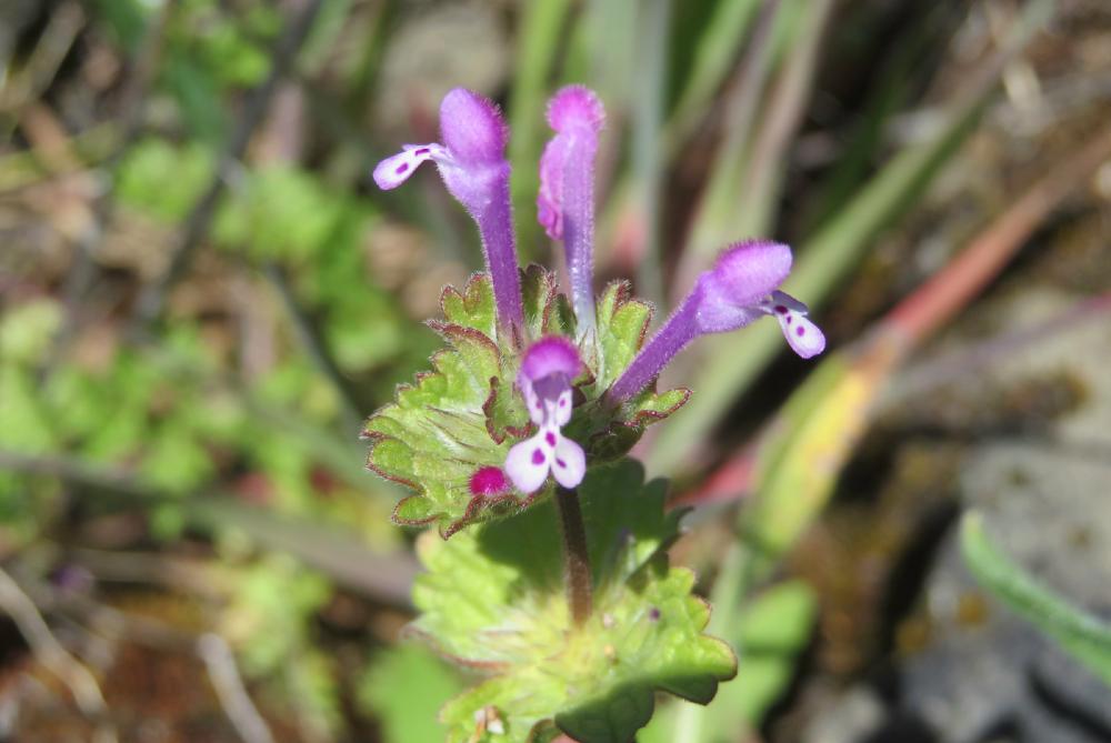
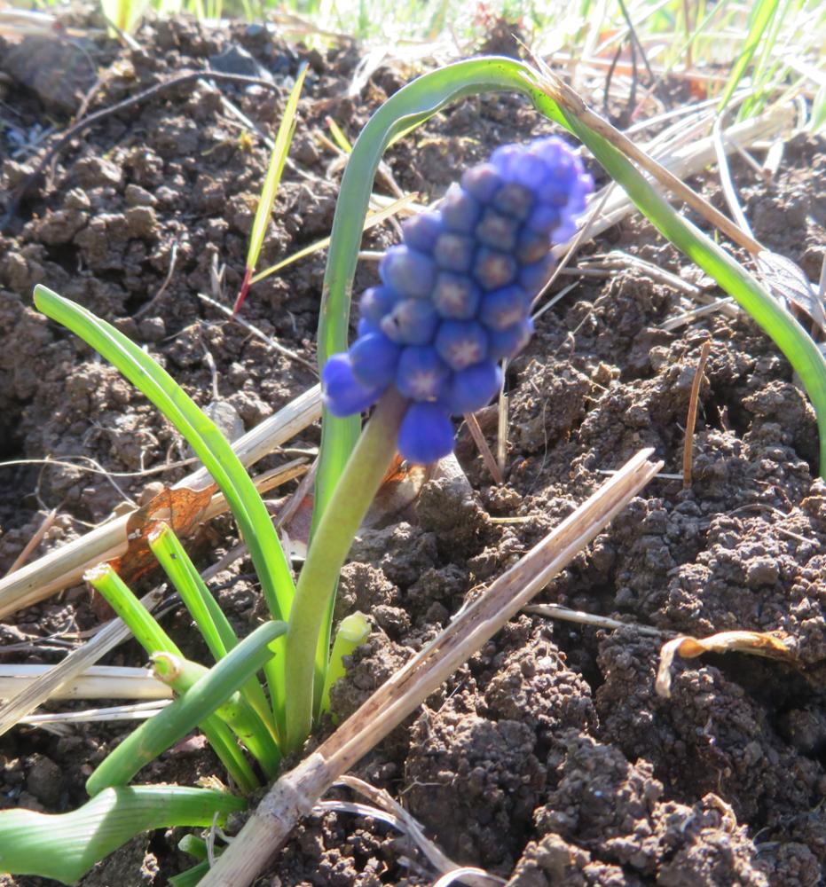
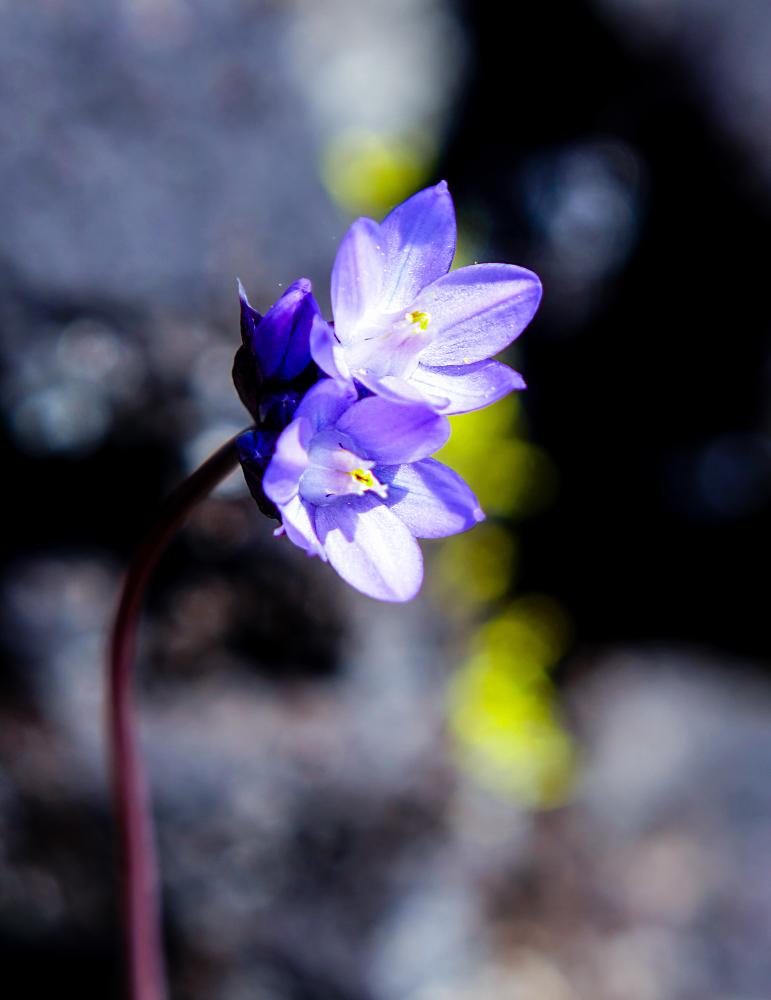
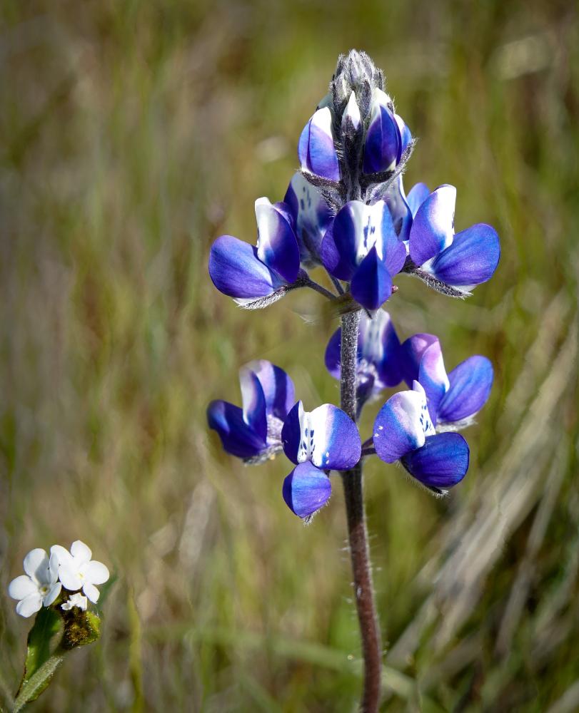
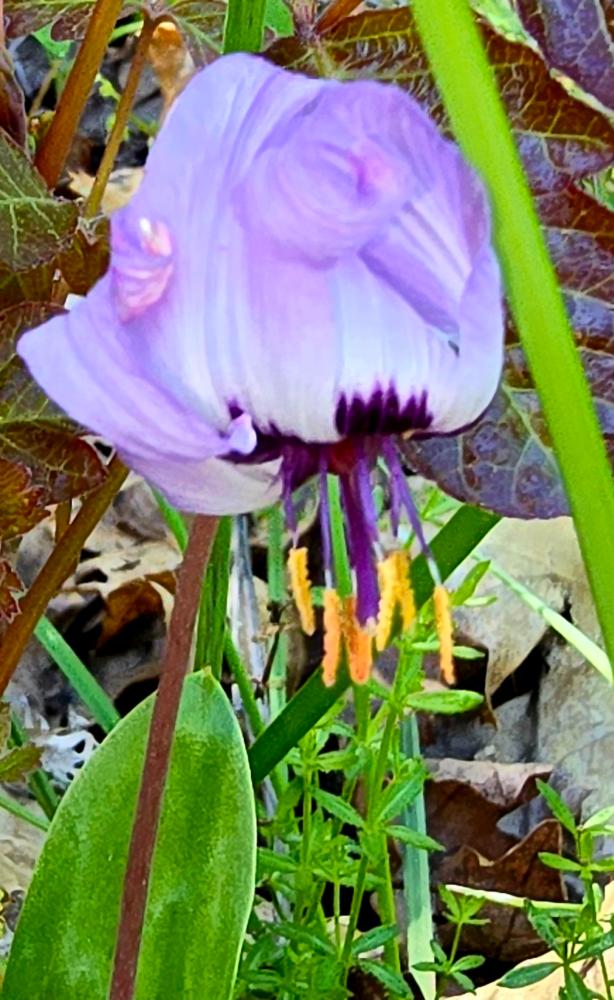
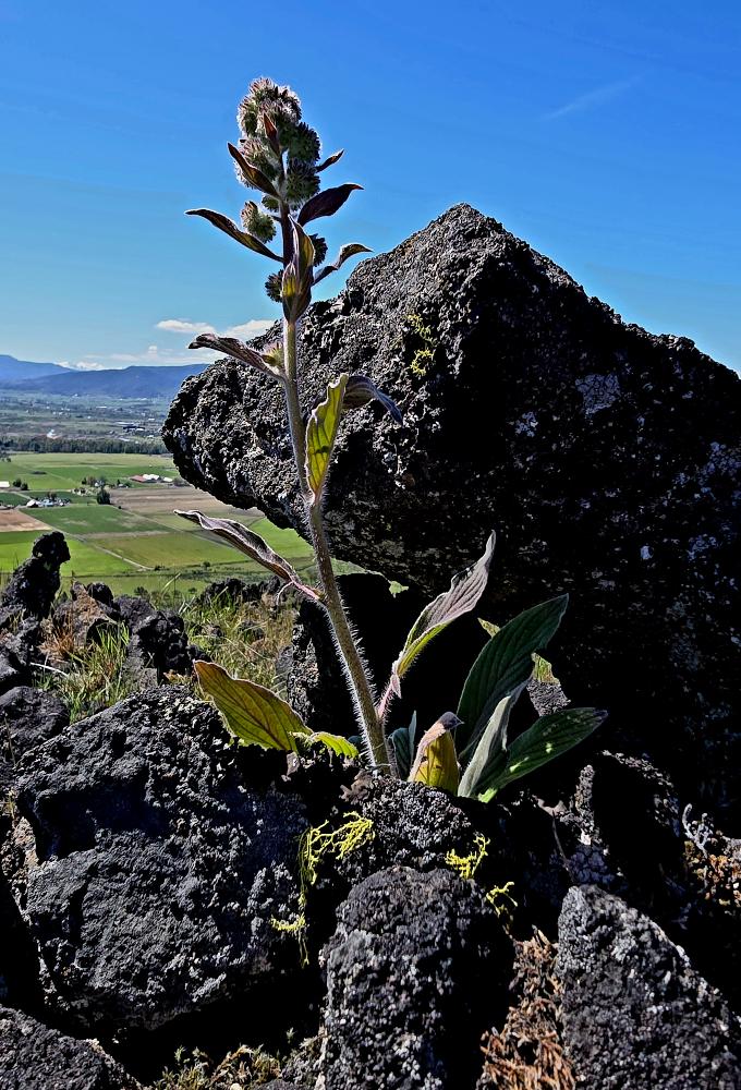
Besides many brightly colored wildflowers, there was a robust crop of poison oaks growing along the trail, so we made sure to keep our hands by our sides. Still, there was time for many photos as we made our way up.
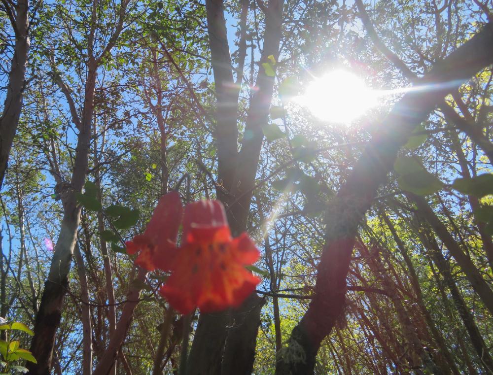
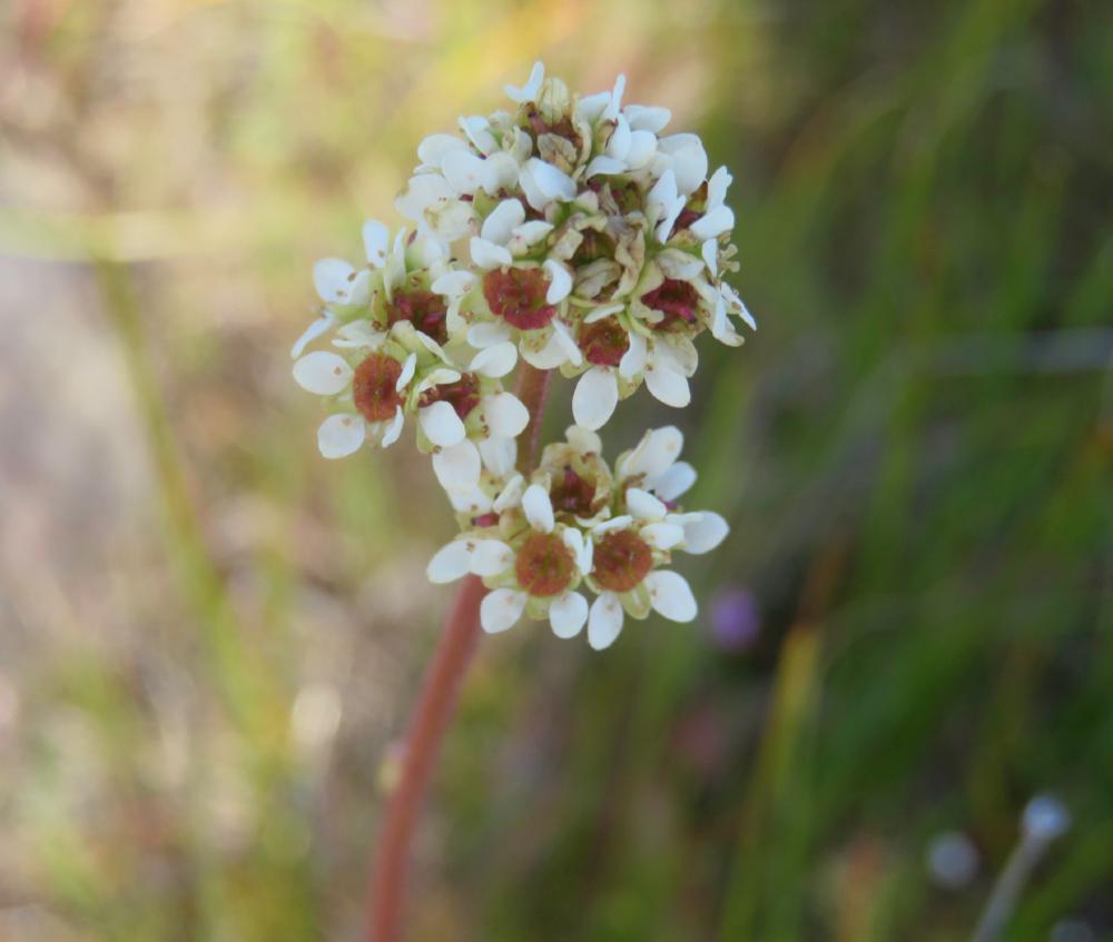
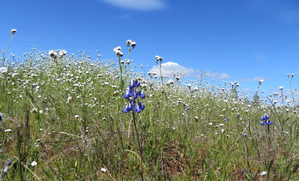
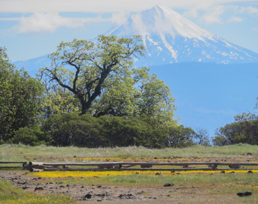
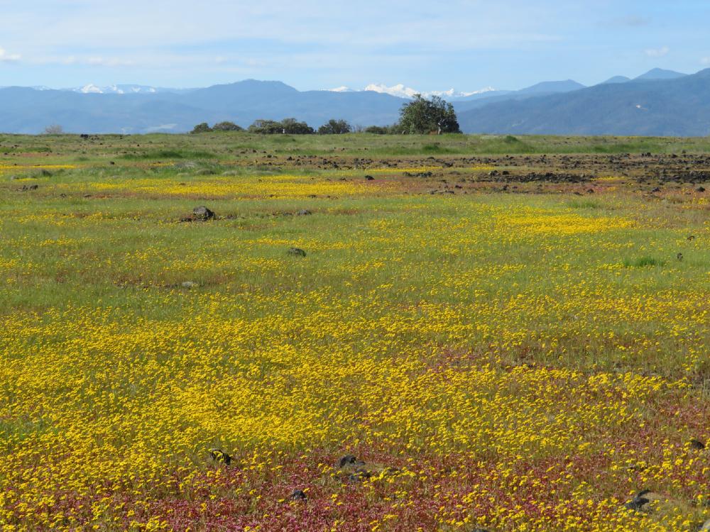
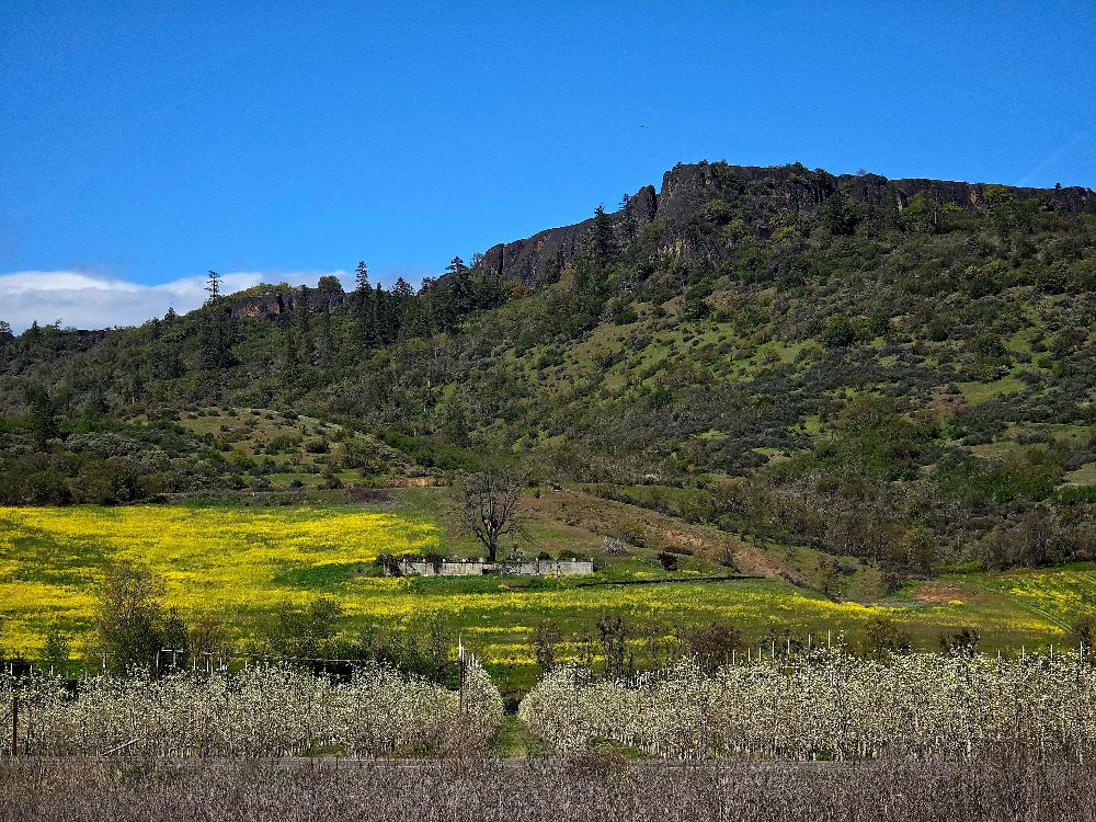
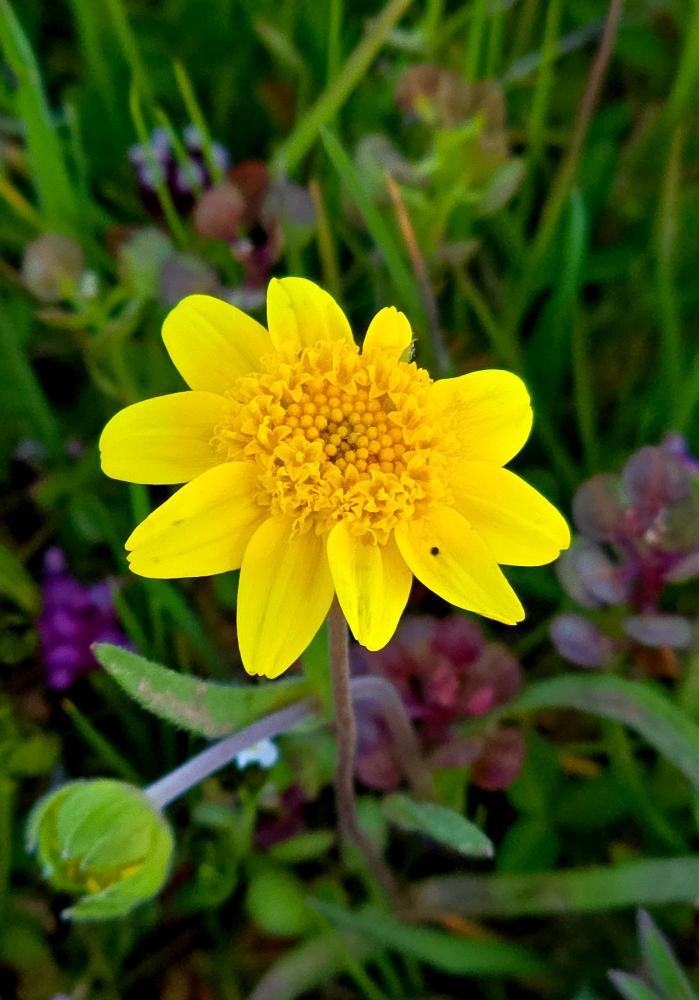
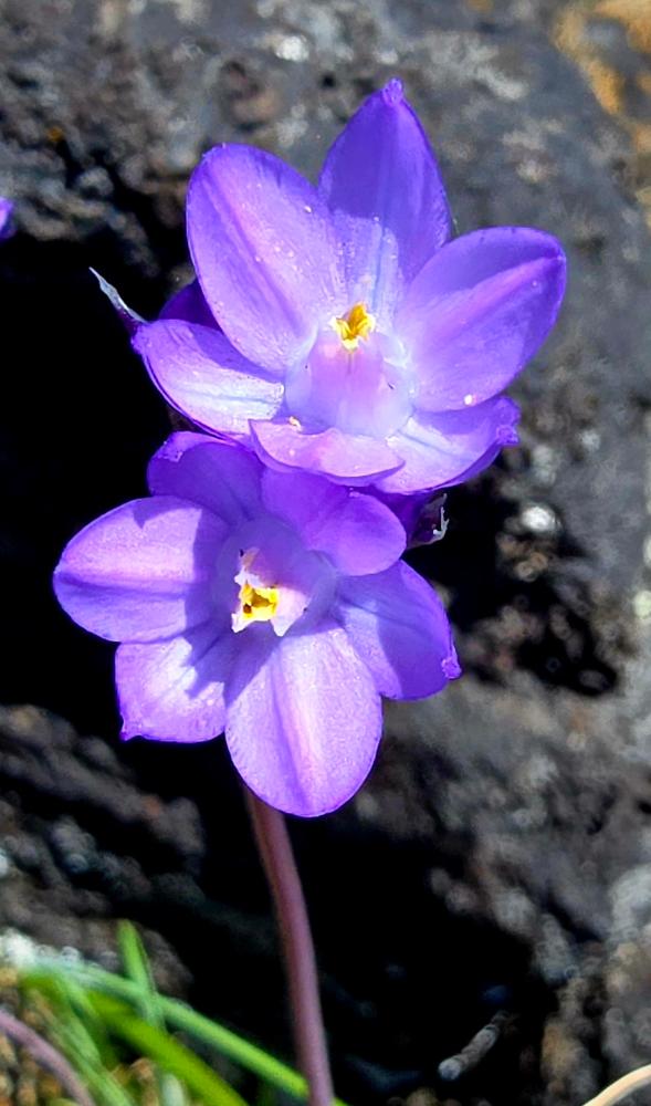
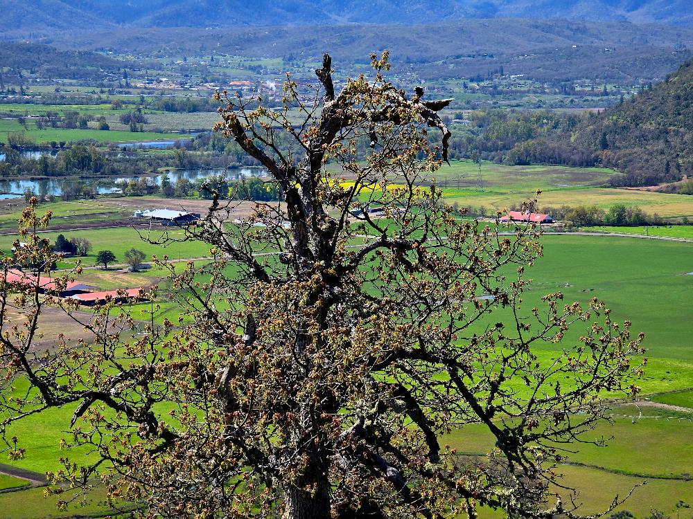
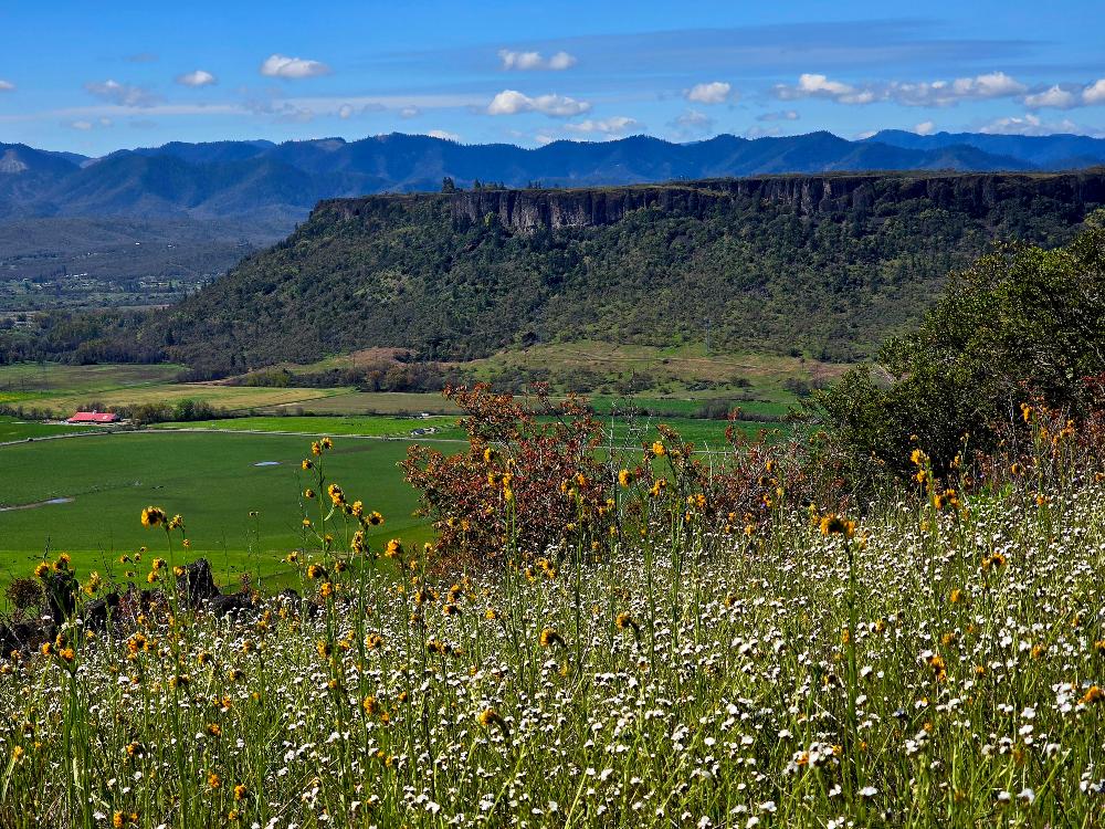
After the 800′ climb up to the top, the mesa was mostly flat, and the sunlight showed fields of spring colors.
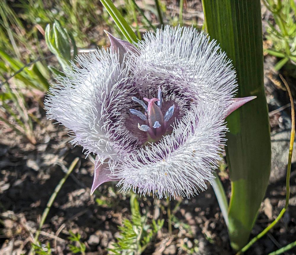
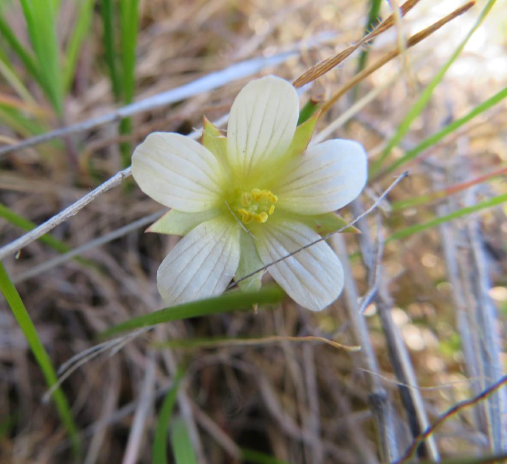
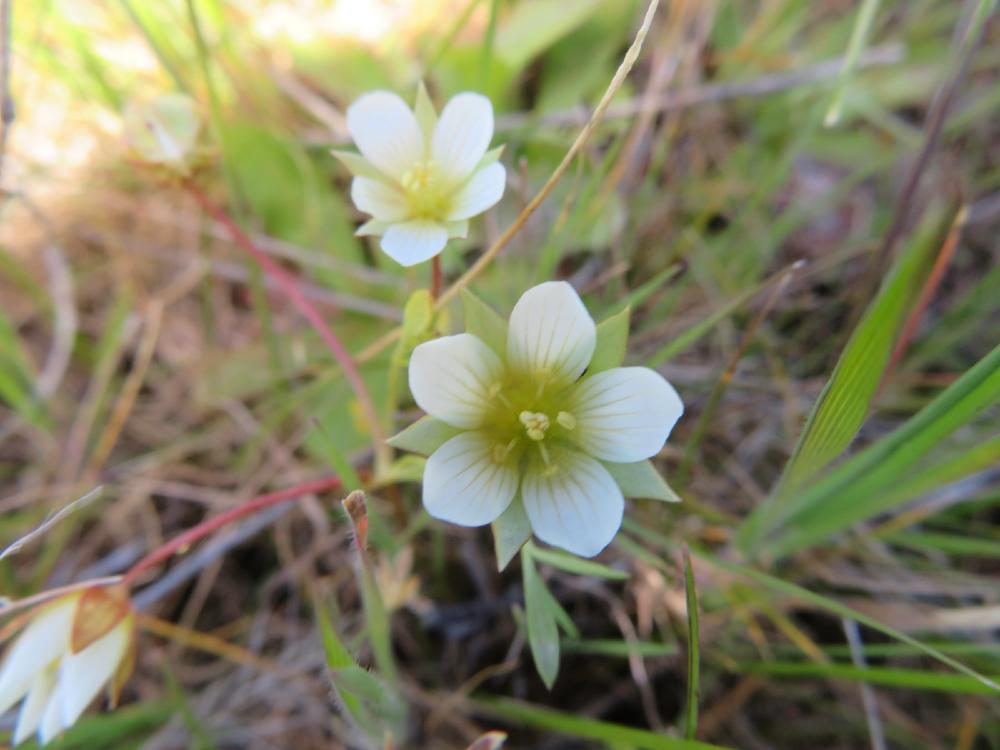
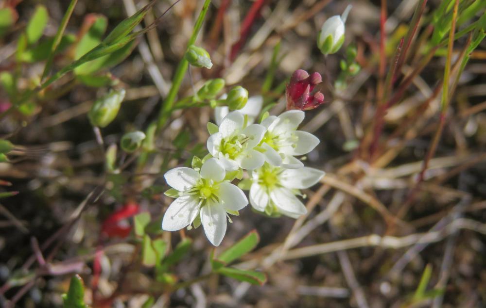
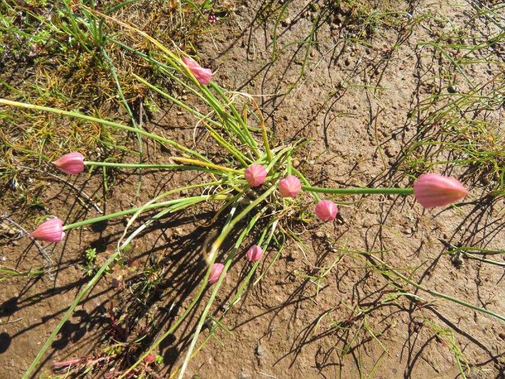
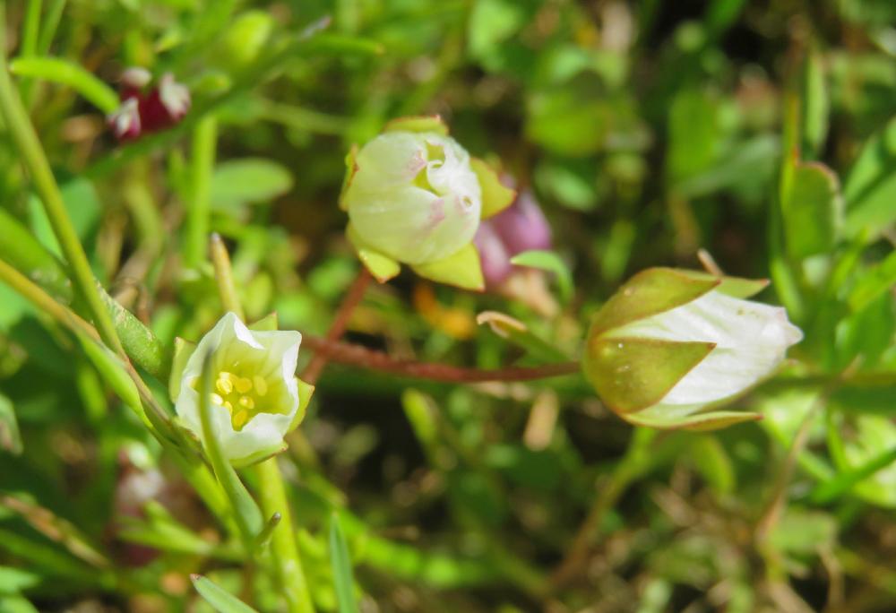
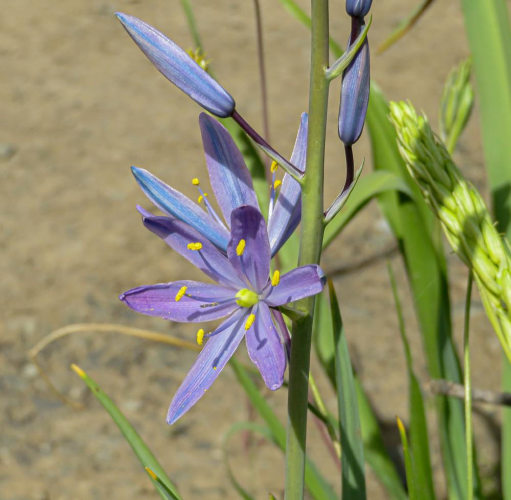
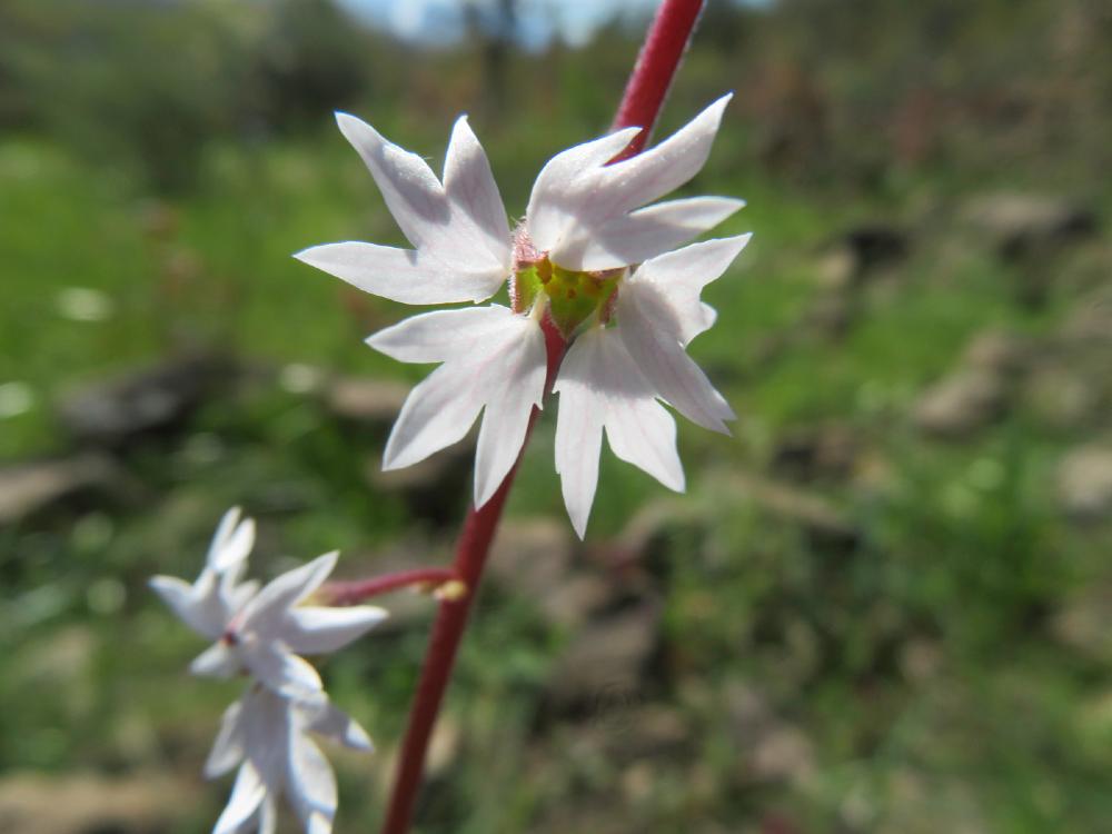
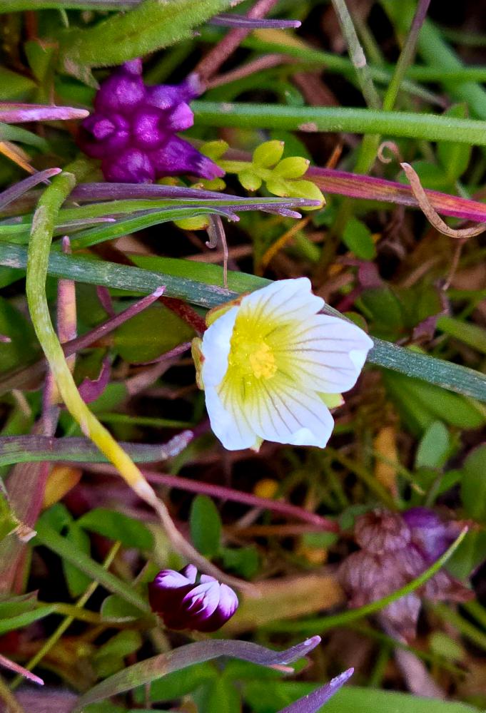
Unfortunately, the vernal pools were dry so no chance to view the fairy shrimp. But luckily we did find the rare Dwarf Wooly Meadowfoam flowers growing in damp parts of the trail. This small white five-petaled flower with a yellow center is only known to grow on our Table Rocks. There are several photos of the Meadowfoam shared on the site.
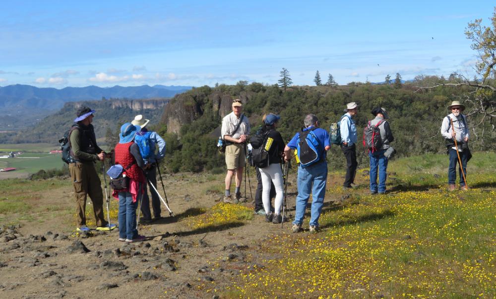
We took Meadowlark Lane across the flat top to cliff views on the northside then turned right to cross the meadows heading towards the white triangle landmark. This is the FAA VHS-VOR airways radio beacon that sends up a beeping signal to passing planes to help with their flight path.
We waited here to collect the group and take the opportunity to view the partial eclipse through the dark solar lenses. The moon’s shadow covered about 22% of the bottom of the sun’s corona.
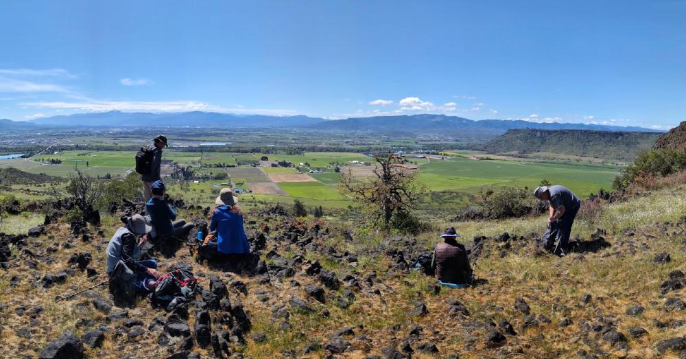
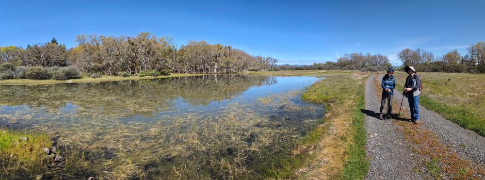
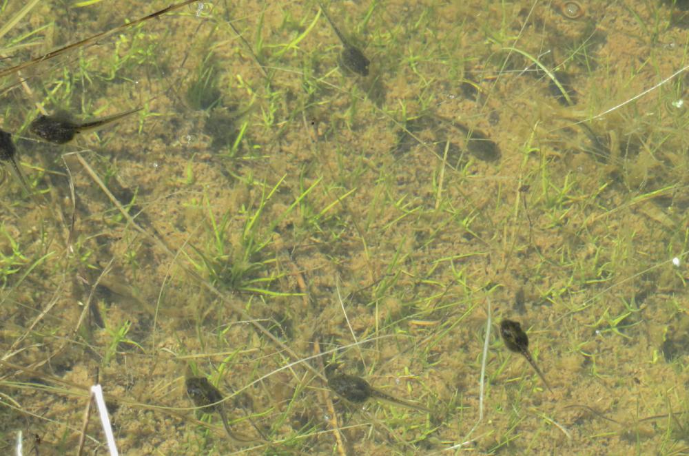
From there we followed the gravel road out past the Frog Pond and out to the cliffs overlooking Sam’s Valley for lunch.
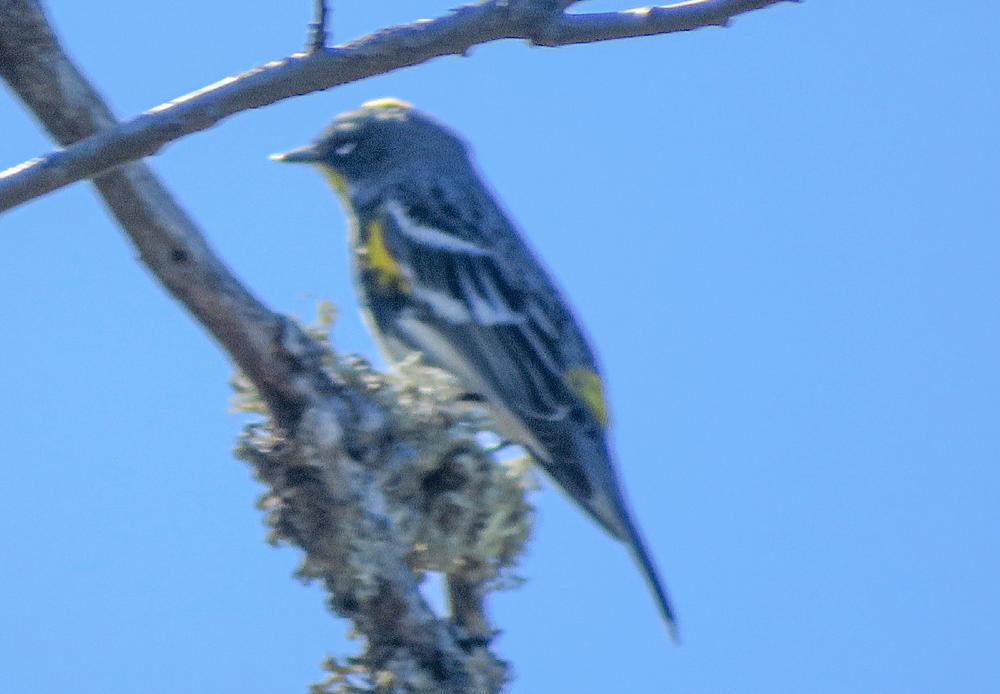
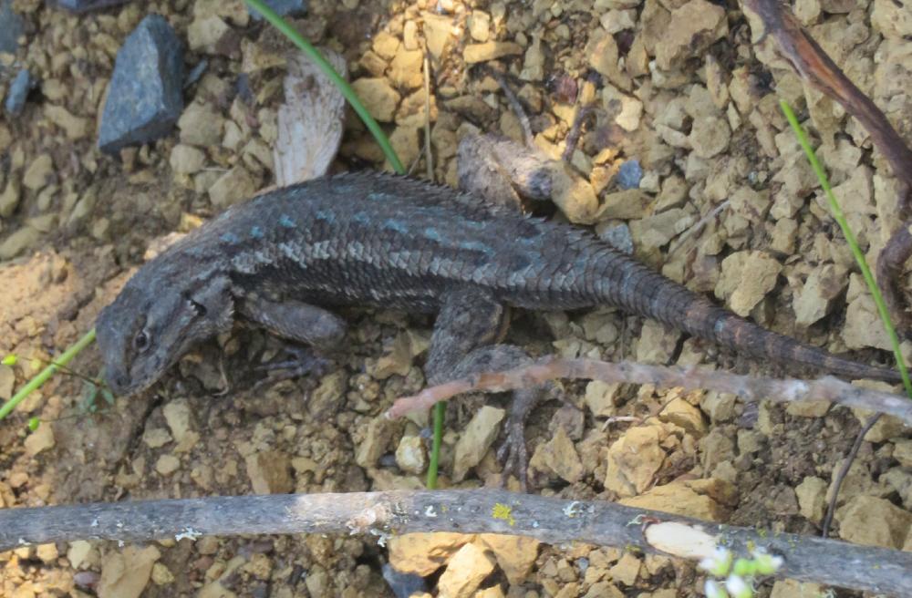
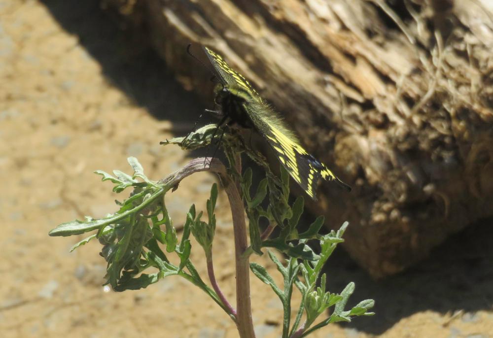
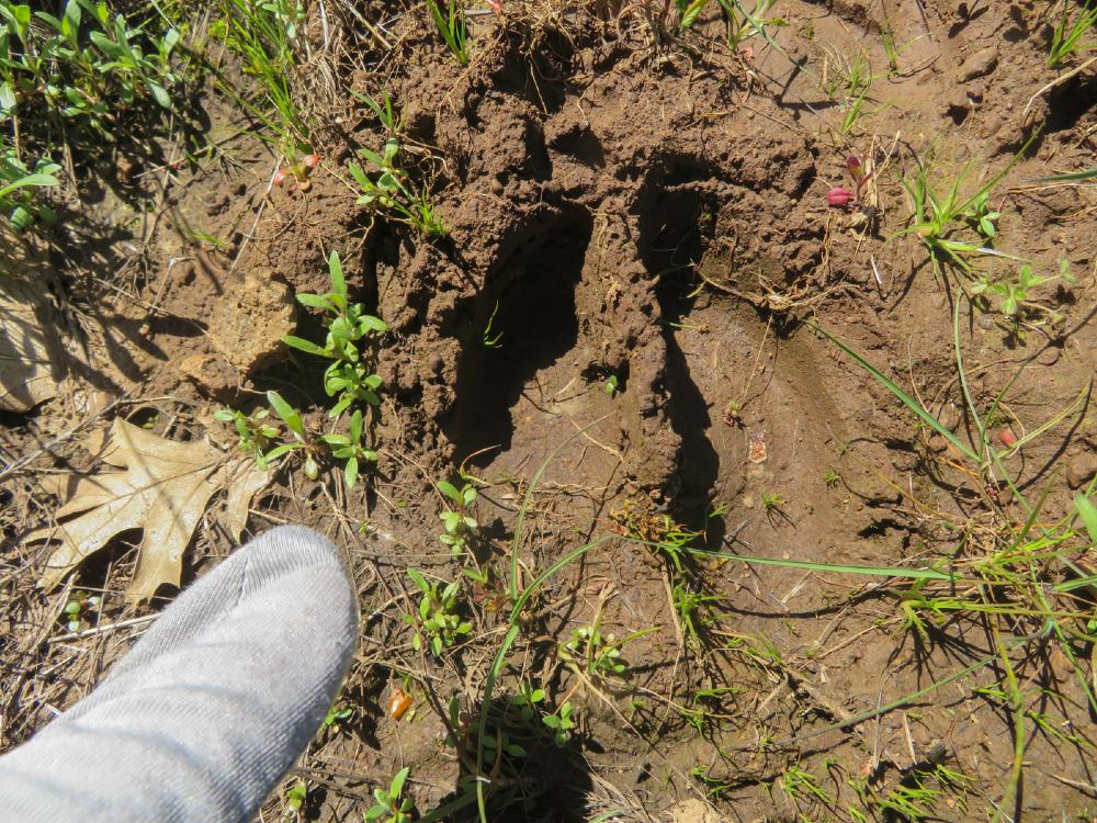
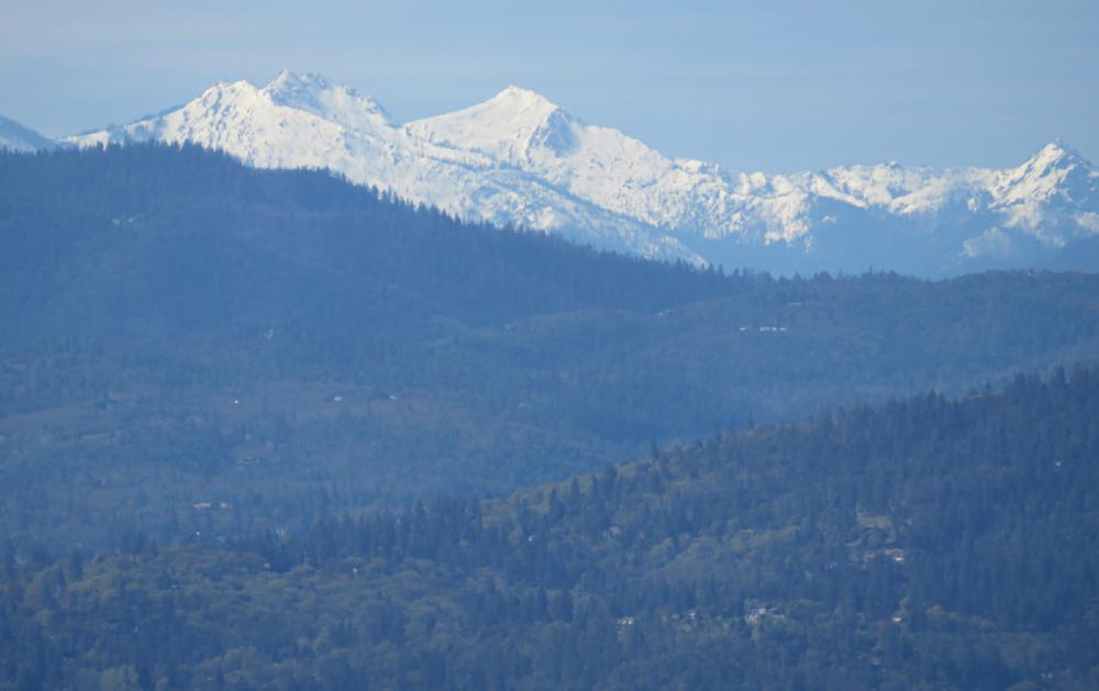
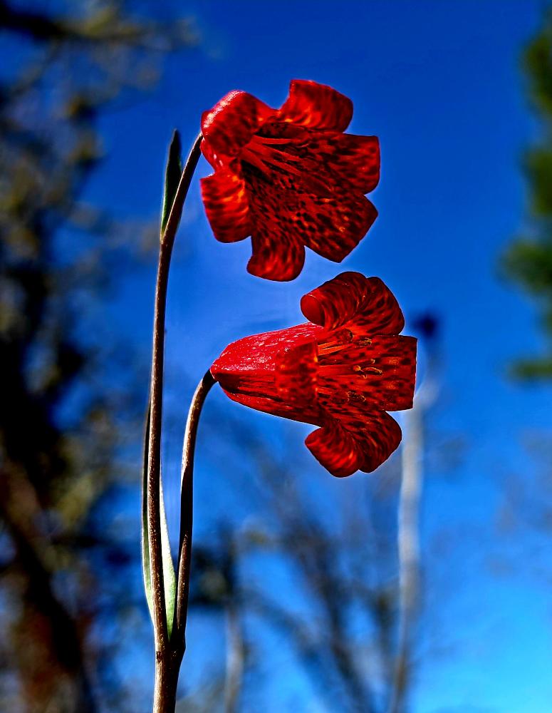
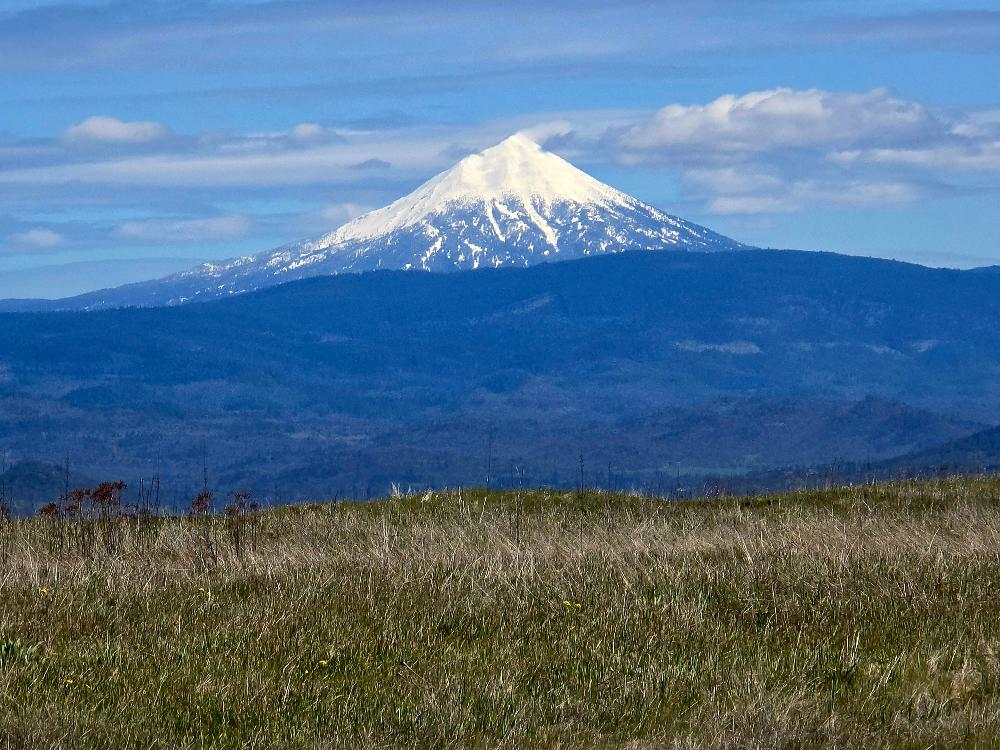
It was a great day to be out in nature with views of the surrounding snow-capped mountains, many different wildflowers, and some of the wildlife that inhabit the Take Rocks.
On the day we hiked 8.2 miles and climbed 800′.
Post hiked we stopped nearby at the Touvelle Lodge for refreshments and conversation.
Post Content
Hike Leader: Rich Stickle
Photos By: Steve, Linda, Randy