↓
 
Ashland Hiking Group 
 
  • About Us
  • Posted Hikes
    • Recent
    • Monday
    • Wednesday
    • Friday
    • Friday Flower
  • Hike Schedules
    • Monday
      • Current
      • Previous
    • Wednesday
      • Current
      • Previous
    • Friday
      • Current
      • Previous
    • Friday Flower
      • Current
      • Previous
  • Locations
    • Lakes
      • Applegate Lake
      • Azalea Lake
      • Castle Lake
      • Crater Lake
      • Duck Lakes
      • East Boulder Lake
      • Emigrant Lake
      • Fish Lake
      • Kangaroo Lake
      • Lost Creek Lake
      • Mountain Lakes
      • Puck Lakes
      • Seven Lakes
      • Sky Lakes
      • Smith Lake
      • Squaw Lakes
      • Taylor Lake
    • PCT
      • Brown Mountain
      • Castle Crags
      • Cement Bluff
      • Etna Summit
      • Greensprings Area
      • Gumboot Boulder
      • Hyatt/Greensprings Summit
      • Hyatt Reservoir
      • Mt Ashland Area
      • Pilot Rock Area
      • Porcupine Lake
      • Red Buttes
    • Rivers & Streams
      • Elk Creek
      • Frog Pond
      • Kelsey Creek
      • Lower Rogue
      • Mill Creek Falls
      • Sacramento River
      • Squaw Valley Creek
      • Upper Rogue
      • Taylor Creek
    • Snow Shoes
      • Buck Prairie
      • Crater Lake
      • Deadwood
      • Great Meadow
      • Grouse Gap
      • Hyatt Lake
      • Moon Prairie
      • Mt Ashland
      • Mt Shasta
      • Pederson
      • Pilot Rock
      • Summit Sno-Park
    • Mountains & Summits
      • A>L
        • Abbot Butte
        • Anderson Butte
        • Arch Rock
        • Baldy Peak
        • Big Red Mountain
        • Bolt Mountain
        • Castle Crags
        • Collings Mountain
        • Frank Hill Road
        • Grayback Mountain
        • Grizzly Peak
        • Kerby Peak
      • M>Z
        • Mount Ashland
        • Mount Bailey
        • Mount Eddy
        • Mount Elijah
        • Mount Shasta
        • Pompadour Bluff
        • Roxy Ann
        • Squaw Peak
        • Stein Butte
        • Stukel Mountain
        • Table Rocks
        • Union Peak
        • Wagner Butte
    • Woods
      • Ashland City
      • Ashland Watershed
      • Bear Creek Greenway
      • Cathedral Hills
      • Denman Wildlife Refuge
      • East Applegate Ridge
      • Enchanted Forest
      • Greenhorn Park
      • Greensprings Area
      • High Lakes Trail
      • Horseshoe Ranch
      • Jack Ash
      • Jacksonville
      • Layton Mine Ditch
      • Pacifica
      • Sterling Mine Ditch
      • Steves 40 Acres
    • Miscellaneous
  • Images
    • Resize @ 1000H ,1000V & med before uploading
  • Log In

Post navigation

← Older posts
Newer posts →

Stukel Mountain

Ashland Hiking Group Posted on April 10, 2024 by Randy BryanApril 23, 2024

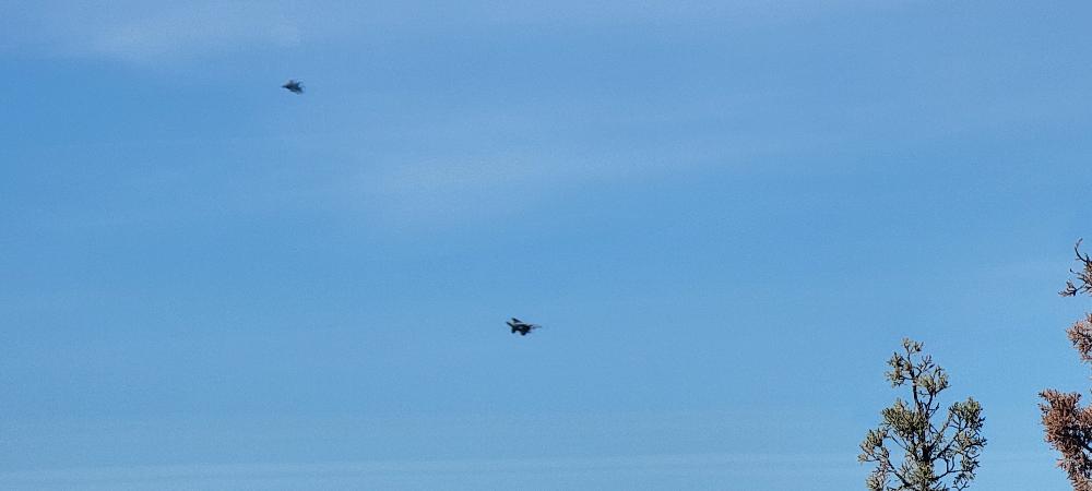
On Wednesday four hikers came out to hike Stukel Mountain just outside Klamath Falls. As Scott and I drove into town on Highway 140 the car started to rumble and shake. One of the big F15 fighter jets flew right above us. It was quite the experience.

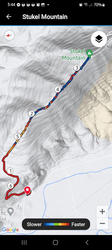
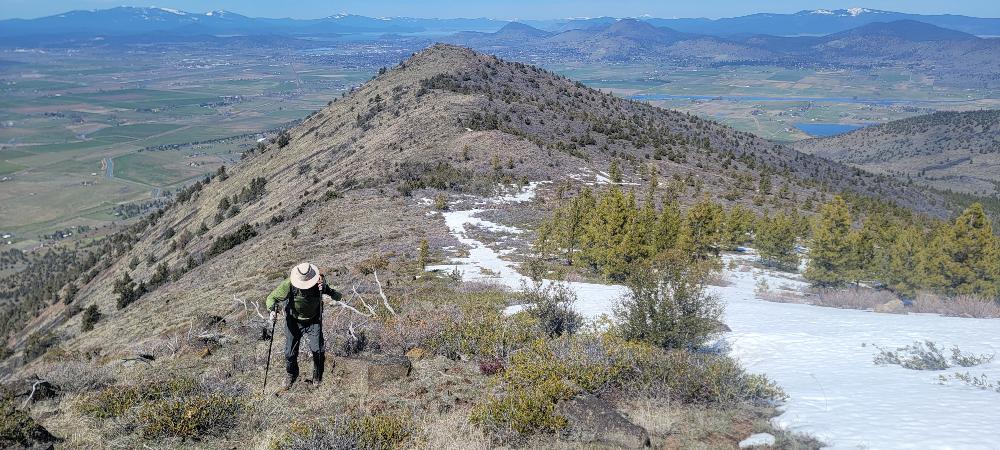
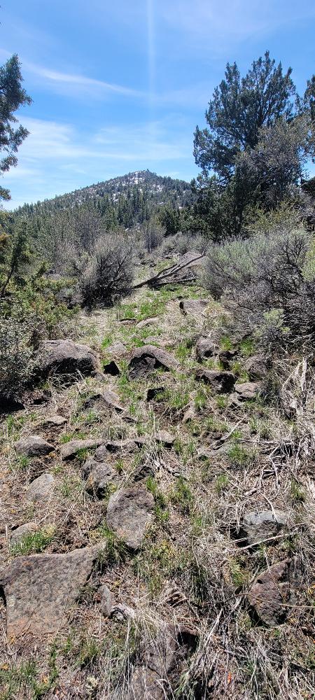
We arrived at the trailhead around 10:00 AM and discovered that Randy and Linda were delayed by about 20 minutes and told us to start without them. The lower gate was still locked so we parked just off Hill Road and started our ascent up the road. At 1.27 miles, we turned and started up the steep ridgeline trail.

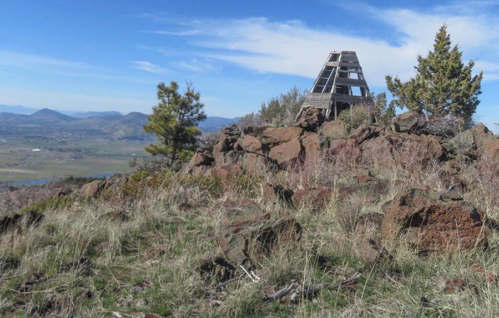
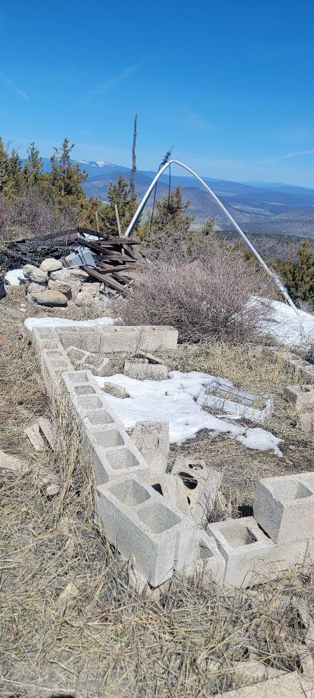
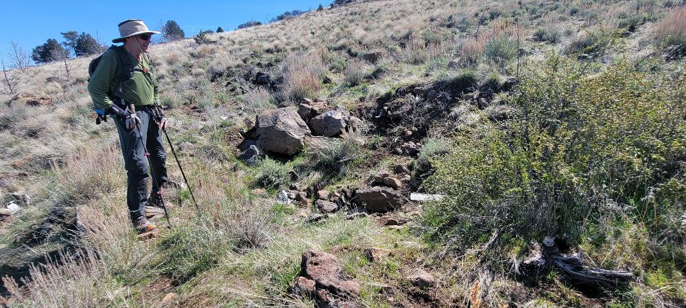
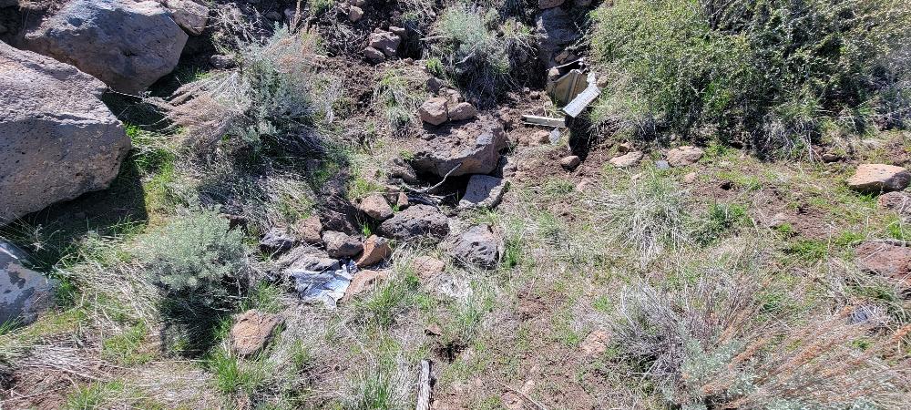
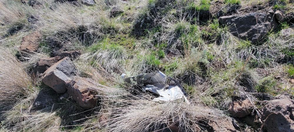
When we were at a little over a mile and a half, we saw a cairn that marked the spot of the crash site of West Coast Airlines flight 720 from March 10, 1967. Most of the debris has been picked over and removed.

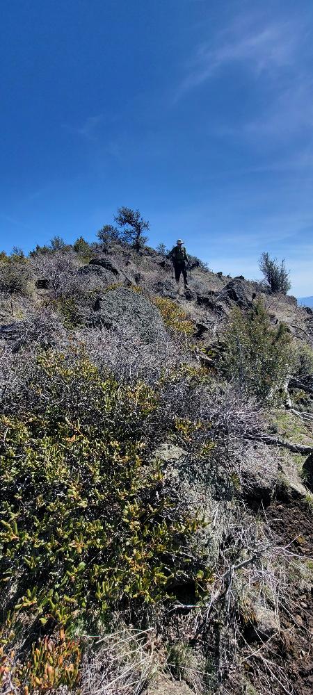
We then continued up the trail and watched 4 jets fly around the basin. It is amazing how loud they are. Each time we stopped to watch, I thought it was a good excuse to catch my breath. I forgot how steep this hike is. There is over 1,600 feet of gain in the first mile and a half.

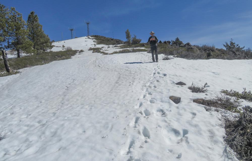
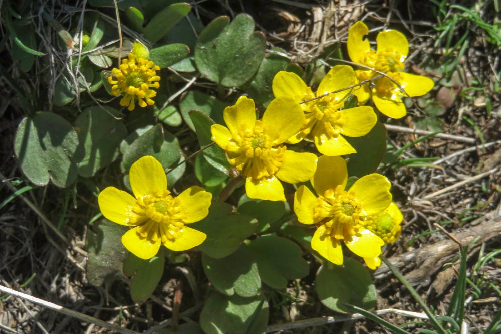
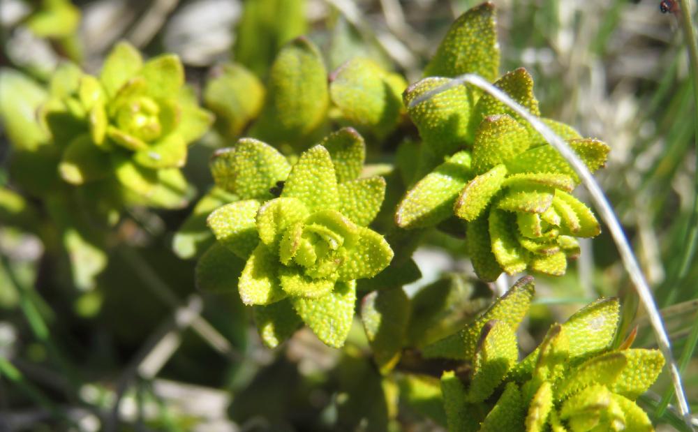
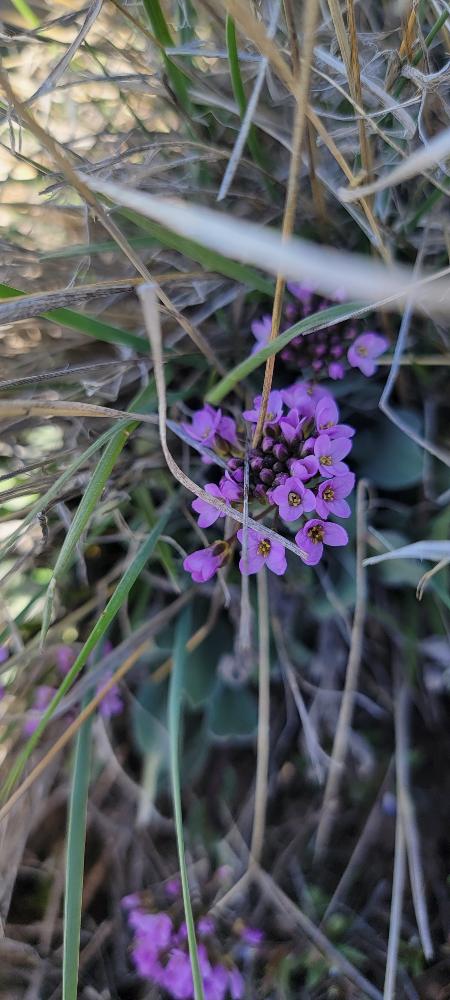
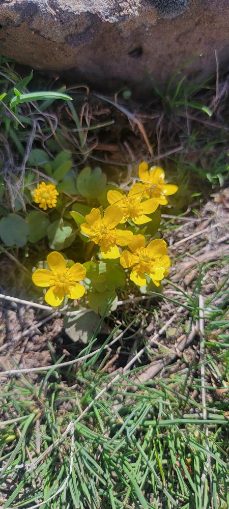
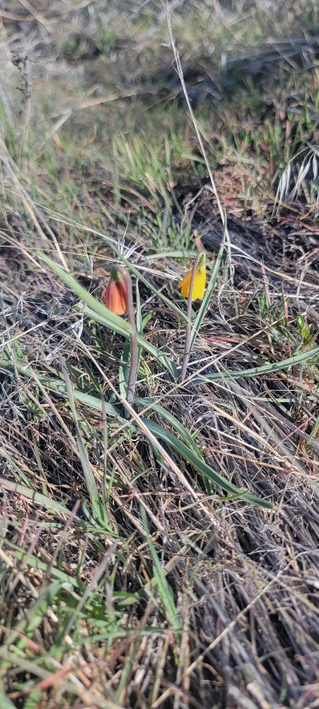
There were only a few wildflowers starting to bloom as it is still early and there is some snow still on the mountain.

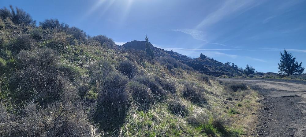
As we went up, there were multiple times we would lose sight of the trail and then regain it shortly after. It was nice to have some yellow tape marking part of the way. Also there were times that I needed to look at the track I had downloaded to make sure we were still on the right path.

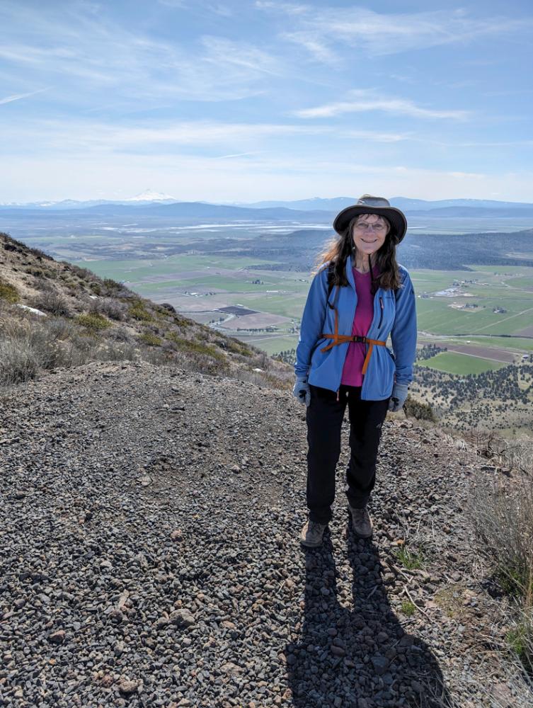
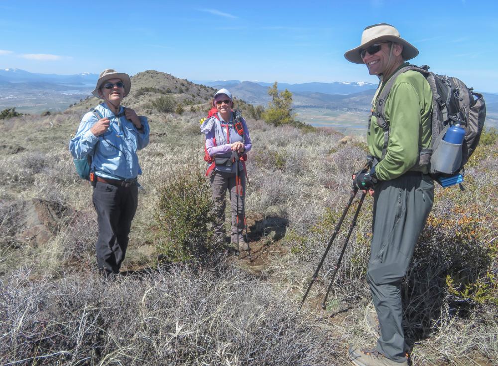
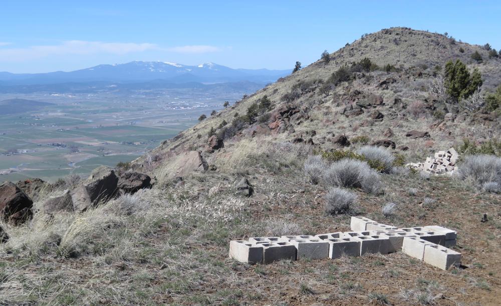
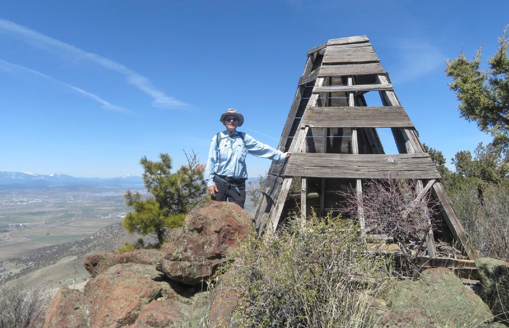
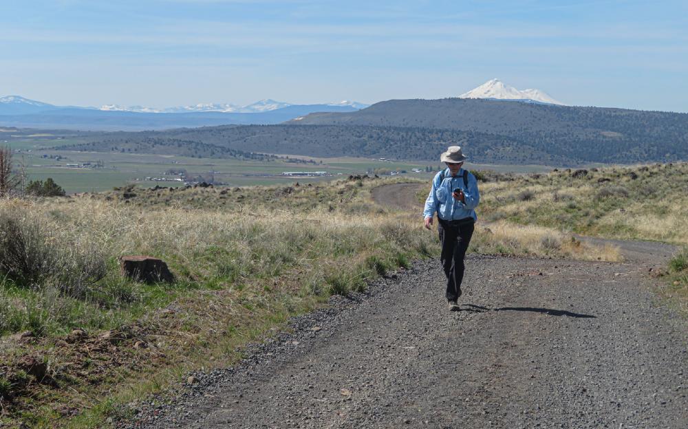
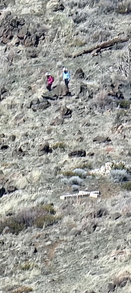
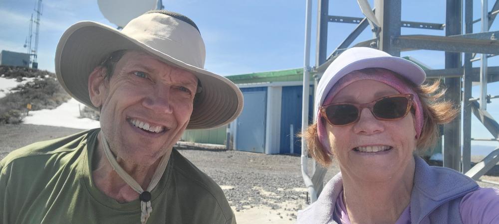
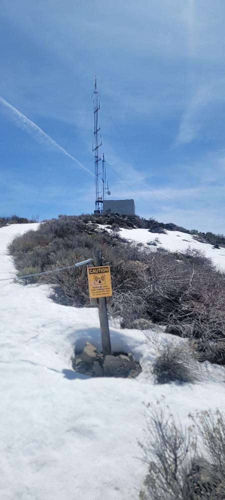
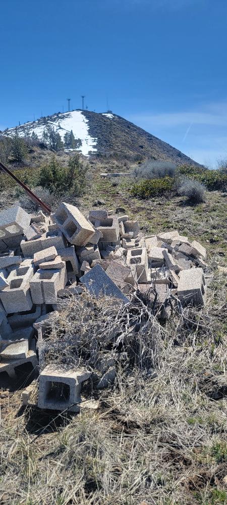
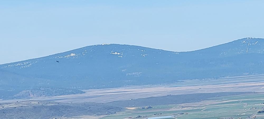
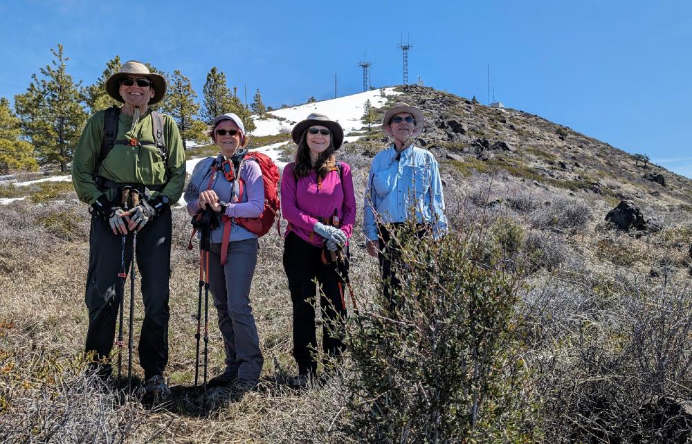
After getting to the second to last peak, I gave Scott the opportunity to stop or go on. He decided since we were so close to the summit, we would go down the hill and up to the cell towers. We had a nice lunch and checked on Randy and Linda. They were headed down the hill then were going to ascend to the cell towers. When our paths crossed, we stopped for a group photo.

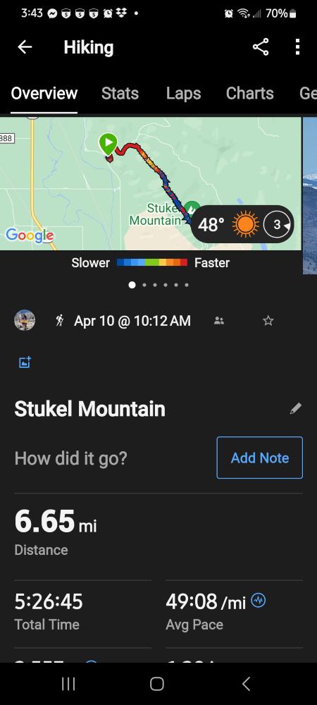
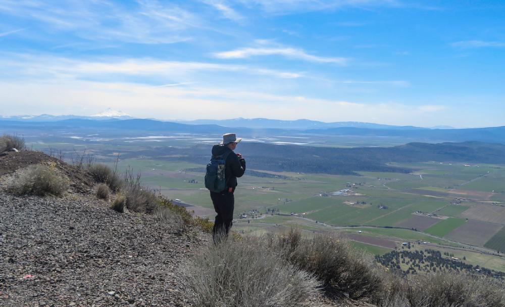
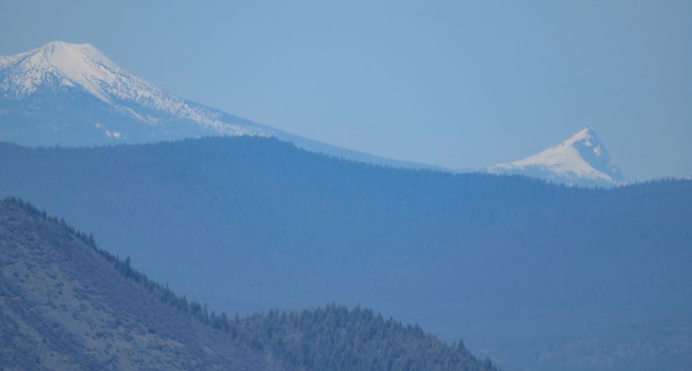
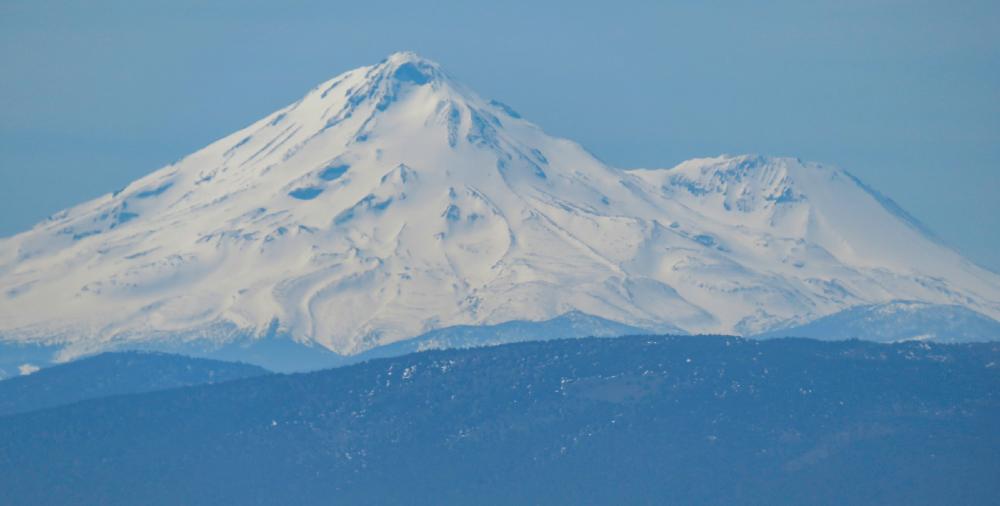
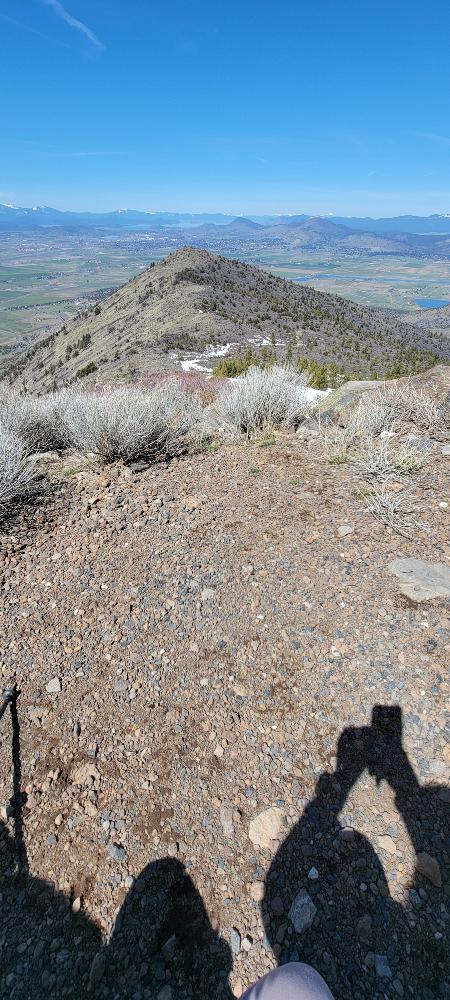
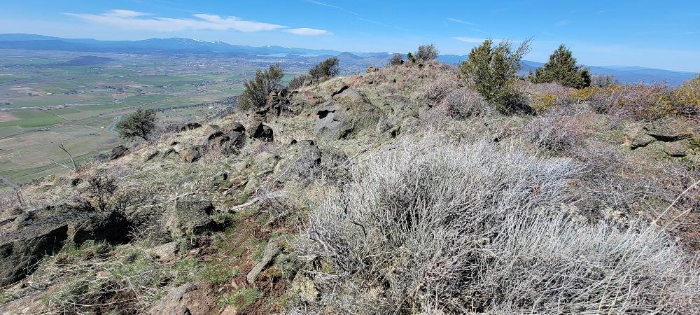
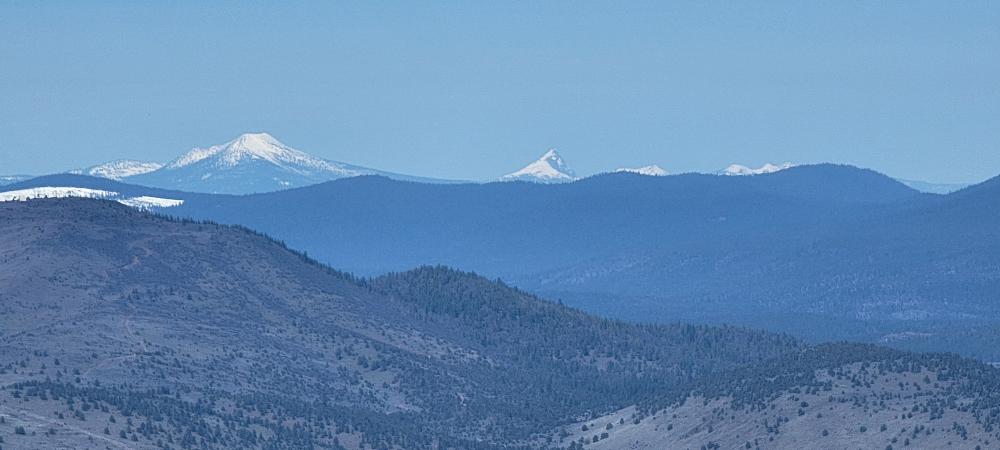
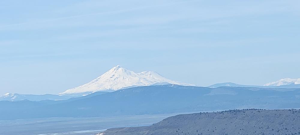
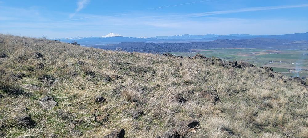
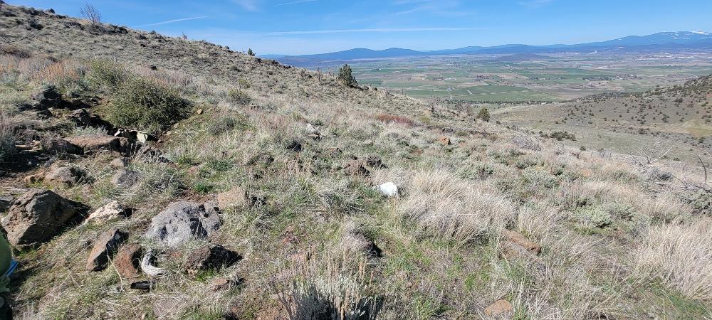
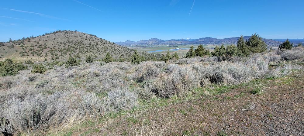
Scott and I slowly made our way back down. We had to watch our steps and be careful the whole way. While this trail is not exciting or pretty, the views are outstanding. We could see all the way up to the Crater Lake Rim, Mount Shasta, the tip of Mount McLoughlin and other snow covered mountains we could not name. When we finally reached the road, we considered retiring this hike since it is so hard on the feet and legs. Our time on the trail including lunch was just over 6 hours. Our average speed was 1.2mph. We hiked 6.65 miles with 2553 feet of gain.

Francie

Hike Leader: Francie

Photos By: Francie, Linda, Randy

Posted in Mountains & Summits, Stukel Mountain, Wednesday

Post navigation

← Older posts
Newer posts →
↑