↓
 
Ashland Hiking Group 
 
  • About Us
  • Posted Hikes
    • Recent
    • Monday
    • Wednesday
    • Friday
    • Friday Flower
  • Hike Schedules
    • Monday
      • Current
      • Previous
    • Wednesday
      • Current
      • Previous
    • Friday
      • Current
      • Previous
    • Friday Flower
      • Current
      • Previous
  • Locations
    • Lakes
      • Applegate Lake
      • Azalea Lake
      • Castle Lake
      • Crater Lake
      • Duck Lakes
      • East Boulder Lake
      • Emigrant Lake
      • Fish Lake
      • Kangaroo Lake
      • Lost Creek Lake
      • Mountain Lakes
      • Puck Lakes
      • Seven Lakes
      • Sky Lakes
      • Smith Lake
      • Squaw Lakes
      • Taylor Lake
    • PCT
      • Brown Mountain
      • Castle Crags
      • Cement Bluff
      • Etna Summit
      • Greensprings Area
      • Gumboot Boulder
      • Hyatt/Greensprings Summit
      • Hyatt Reservoir
      • Mt Ashland Area
      • Pilot Rock Area
      • Porcupine Lake
      • Red Buttes
    • Rivers & Streams
      • Elk Creek
      • Frog Pond
      • Kelsey Creek
      • Lower Rogue
      • Mill Creek Falls
      • Sacramento River
      • Squaw Valley Creek
      • Upper Rogue
      • Taylor Creek
    • Snow Shoes
      • Buck Prairie
      • Crater Lake
      • Deadwood
      • Great Meadow
      • Grouse Gap
      • Hyatt Lake
      • Moon Prairie
      • Mt Ashland
      • Mt Shasta
      • Pederson
      • Pilot Rock
      • Summit Sno-Park
    • Mountains & Summits
      • A>L
        • Abbot Butte
        • Anderson Butte
        • Arch Rock
        • Baldy Peak
        • Big Red Mountain
        • Bolt Mountain
        • Castle Crags
        • Collings Mountain
        • Frank Hill Road
        • Grayback Mountain
        • Grizzly Peak
        • Kerby Peak
      • M>Z
        • Mount Ashland
        • Mount Bailey
        • Mount Eddy
        • Mount Elijah
        • Mount Shasta
        • Pompadour Bluff
        • Roxy Ann
        • Squaw Peak
        • Stein Butte
        • Stukel Mountain
        • Table Rocks
        • Union Peak
        • Wagner Butte
    • Woods
      • Ashland City
      • Ashland Watershed
      • Bear Creek Greenway
      • Cathedral Hills
      • Denman Wildlife Refuge
      • East Applegate Ridge
      • Enchanted Forest
      • Greenhorn Park
      • Greensprings Area
      • High Lakes Trail
      • Horseshoe Ranch
      • Jack Ash
      • Jacksonville
      • Layton Mine Ditch
      • Pacifica
      • Sterling Mine Ditch
      • Steves 40 Acres
    • Miscellaneous
  • Images
    • Resize @ 1000H ,1000V & med before uploading
  • Log In

Post navigation

← Older posts
Newer posts →

Horseshoe Ranch

Ashland Hiking Group Posted on April 29, 2024 by Randy BryanApril 30, 2024

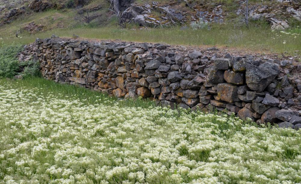
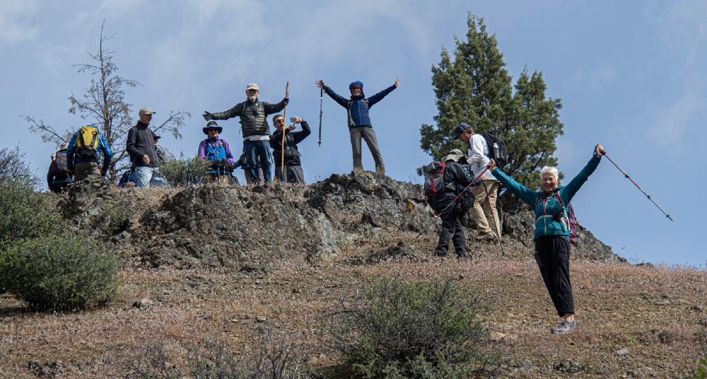
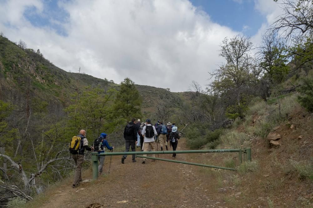
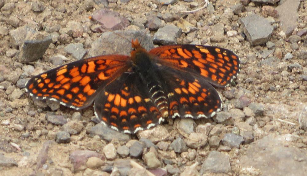
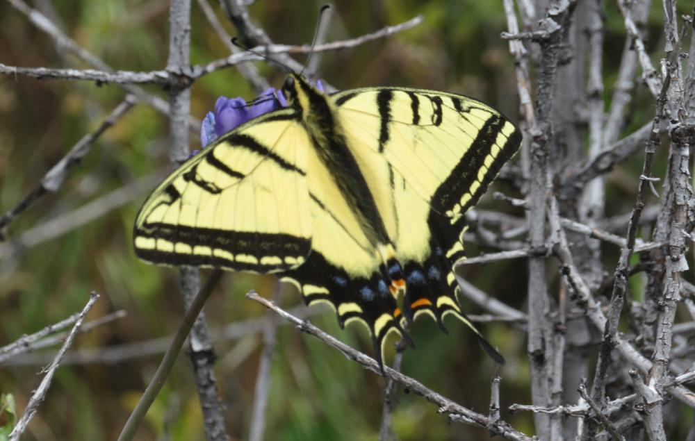
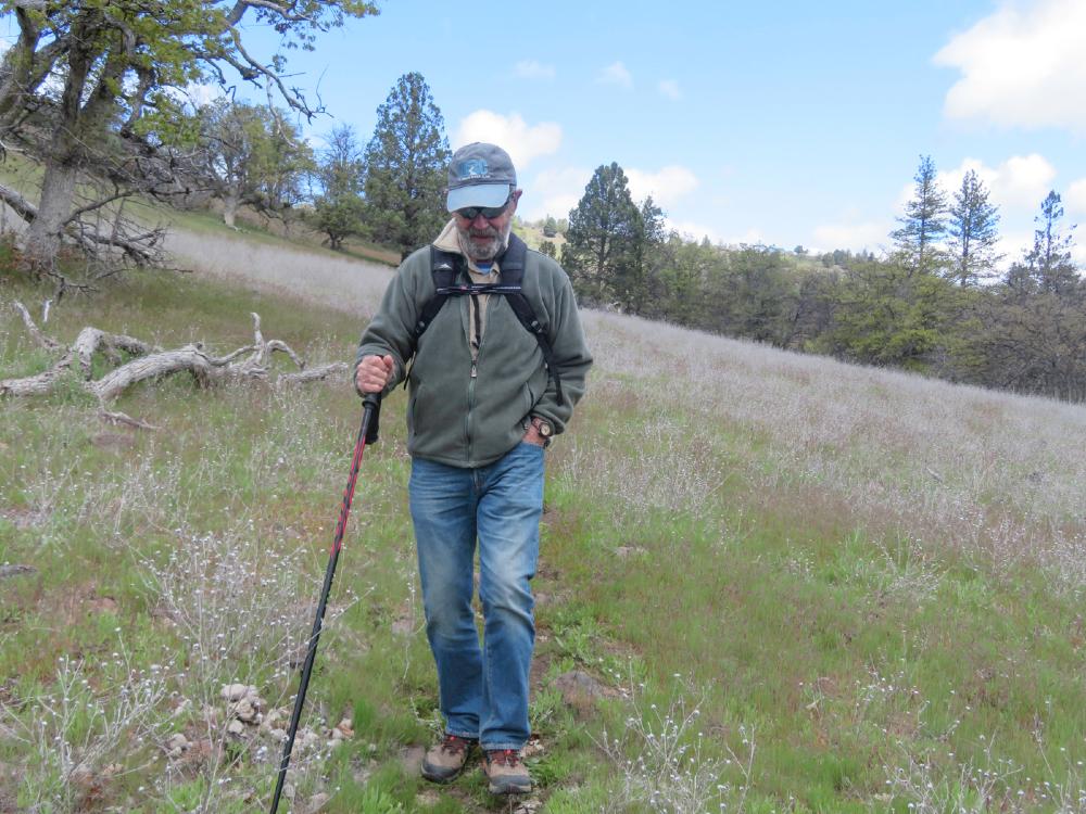
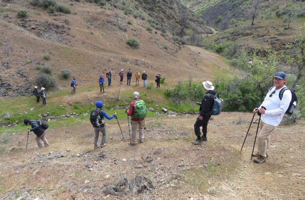
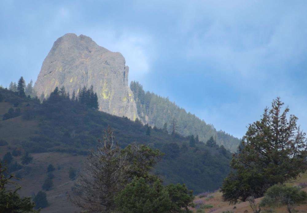
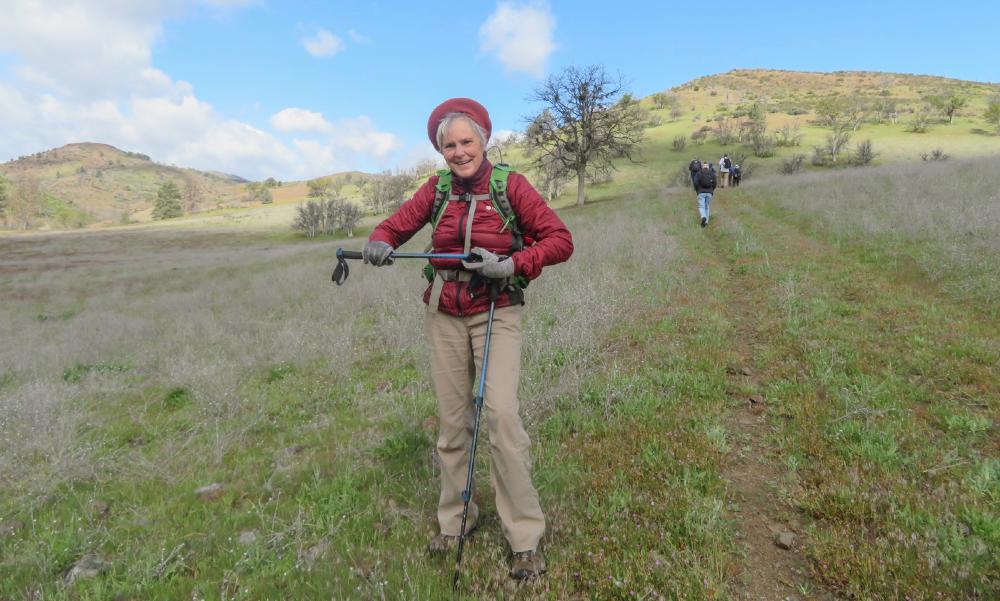
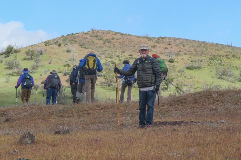
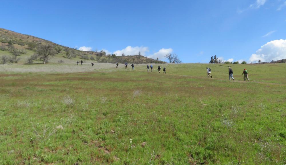
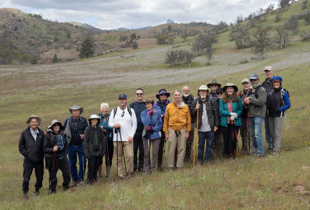
After last year’s first-ever visit to Horseshoe Ranch in Hornbrook, we had an even bigger turnout for Monday’s hike. 19 AHG members gathered at the Horseshoe Ranch TH for our exploration of this wonderful place. It’s become a favorite hike because it offers so much; rushing water in Scotch Creek, clean air, rolling hills, and a wide variety of wildflowers and animal life.

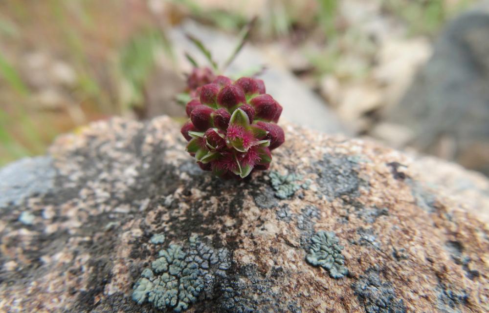
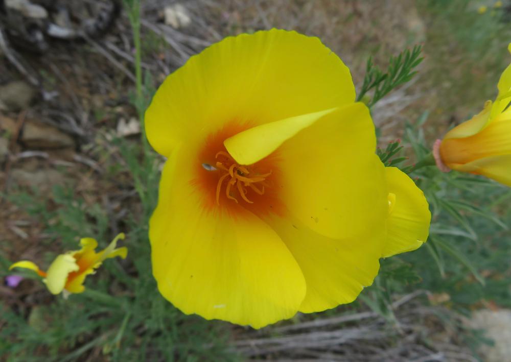
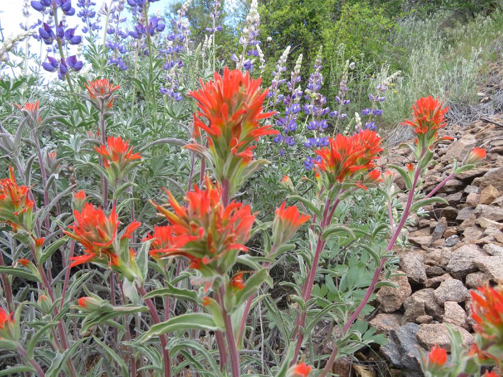
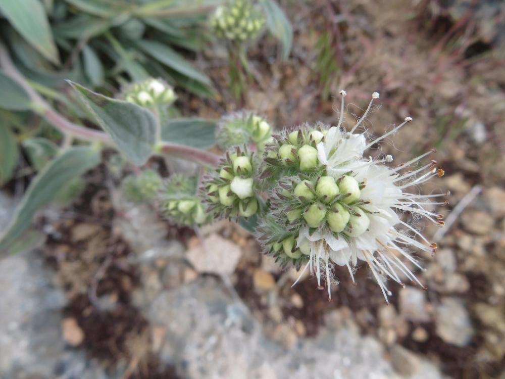
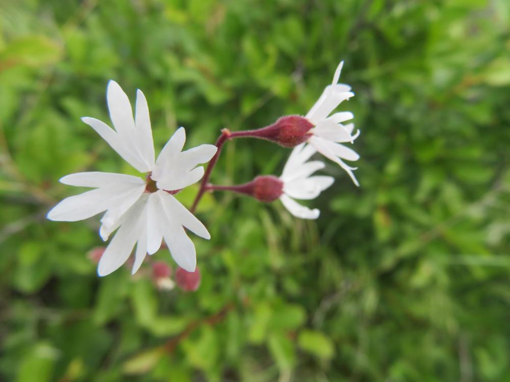
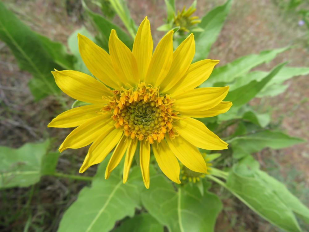
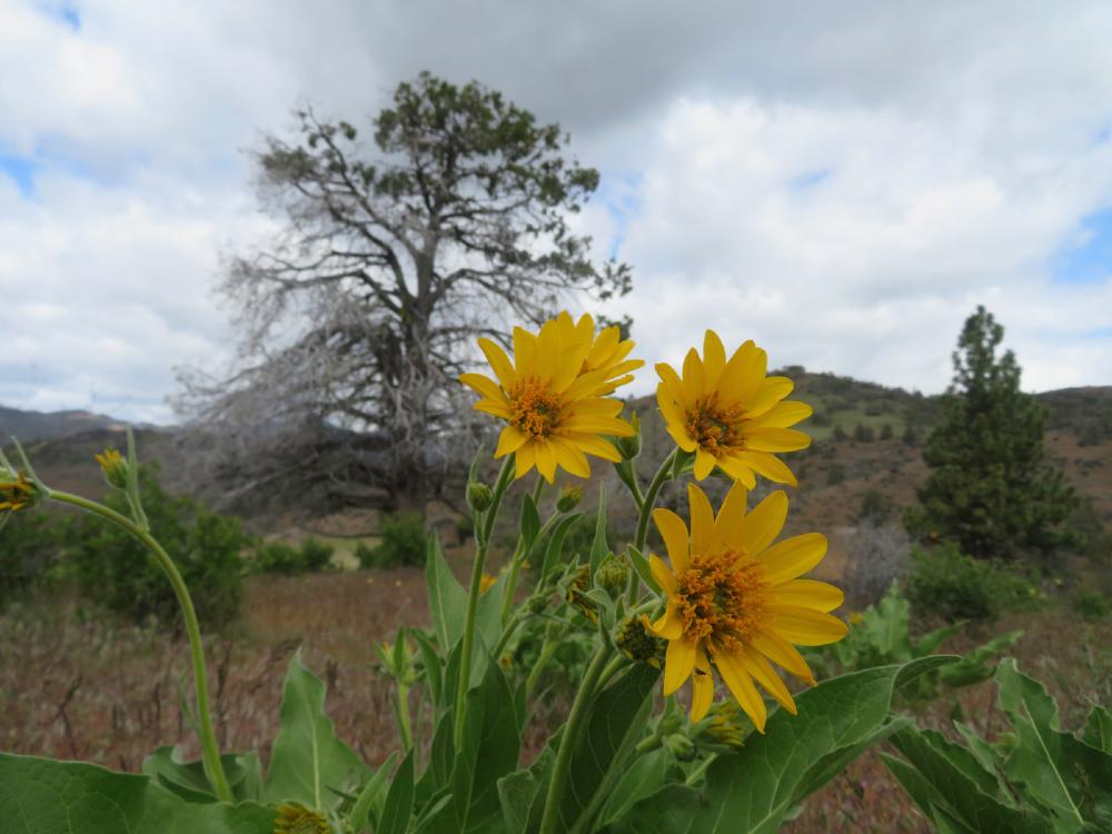
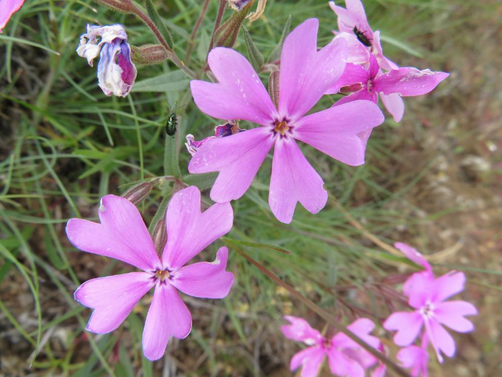
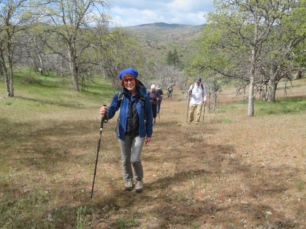
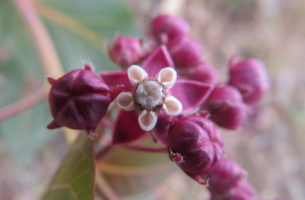
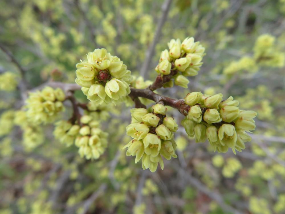
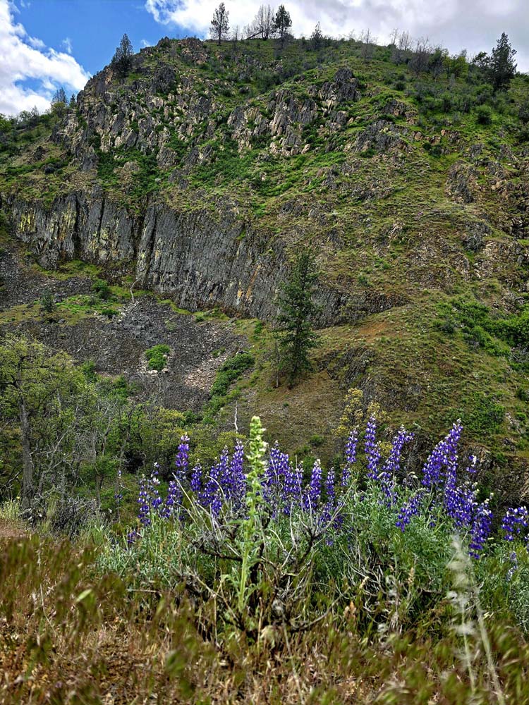
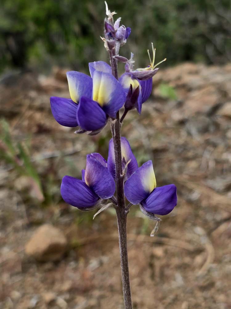
Thick patches of Lupine mixed with Paintbrush, Oregon Sunshine, and California Poppies colored the path up to the horse meadows.

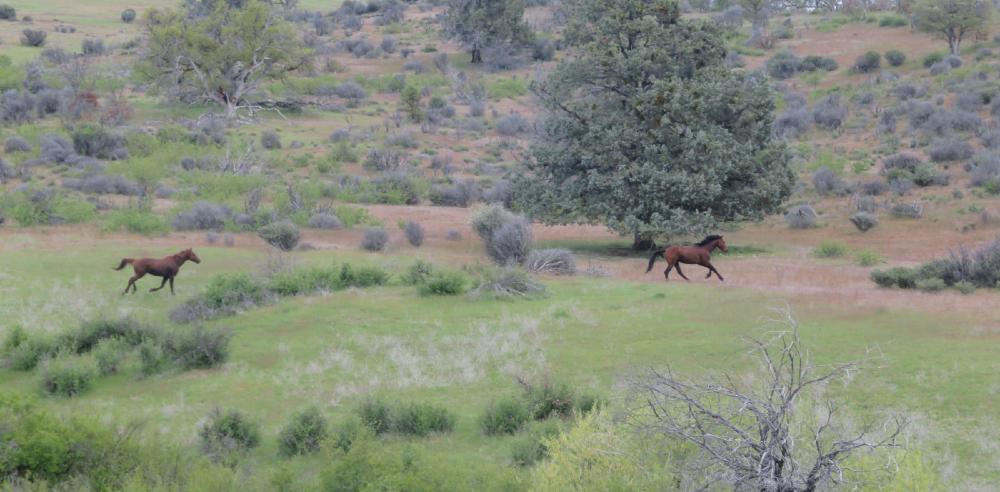
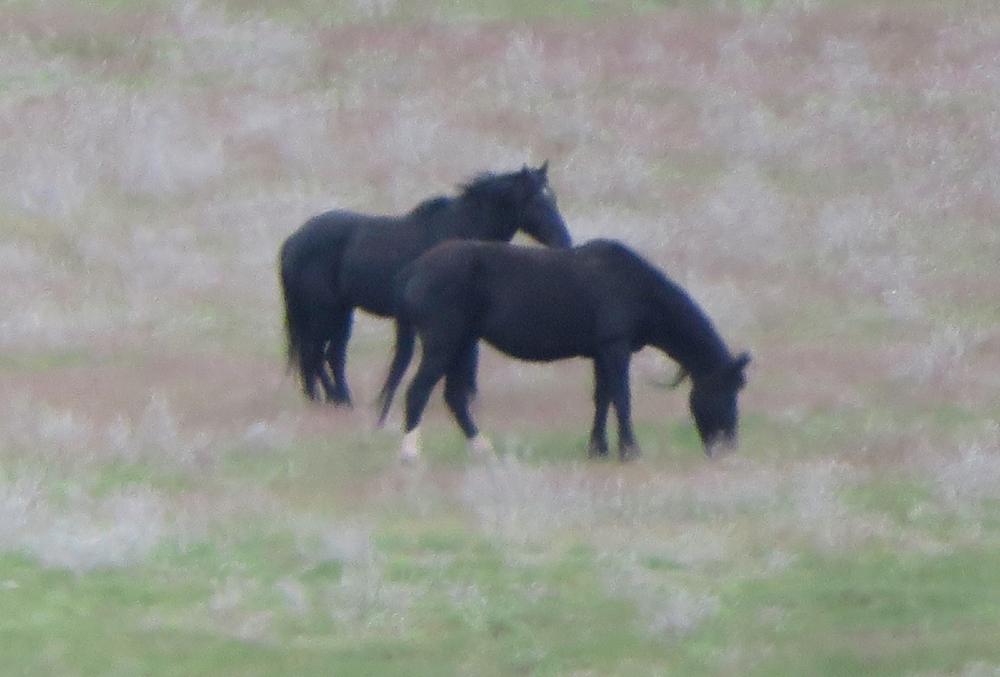
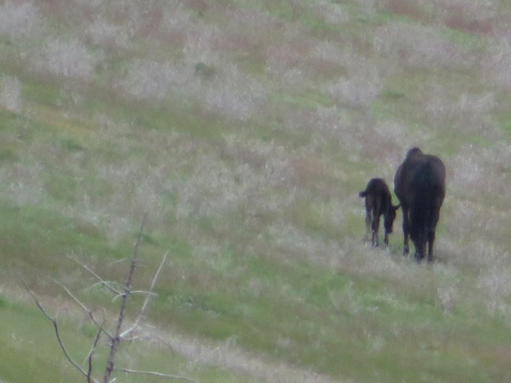
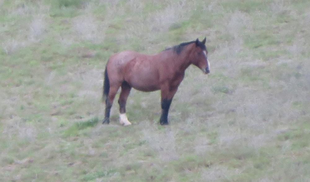
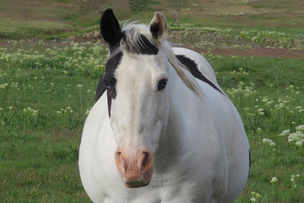
Many come hoping to see herds of wild horses but fall in love with rustic scenery seemingly from an old-time Western movie. During Monday’s hike, we saw two groups of four horses, one had a young foal. Many horses were brought to the 9100-acre ranch during the COVID-19 pandemic when ranchers couldn’t afford to keep them. The horses run free and live off the grasslands of the open range. A group of about 15 horses were seen drinking from the creek.

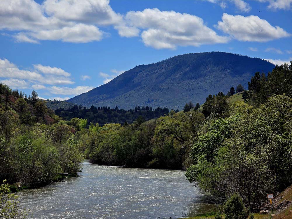
We arrived at the TH off Copco Rd at 9:15 after leaving Ashland at 8:30. The driving distance is 35 miles one way, so a short drive for a California hike. The Hornbrook Exit 789 puts you on Copco Rd for a 12+ mile drive out to the TH and along the Klamath River.

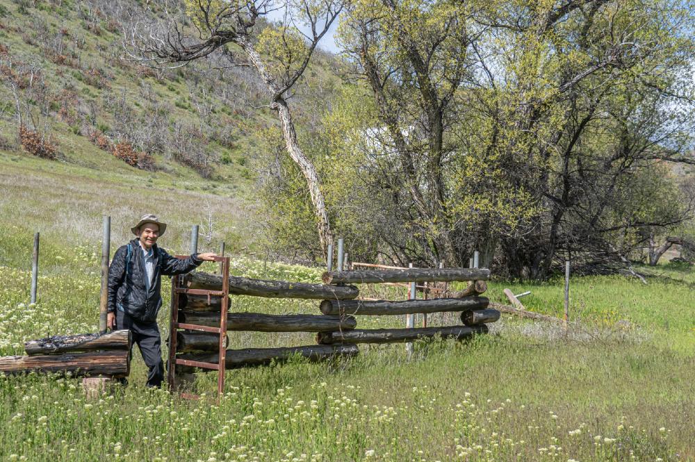
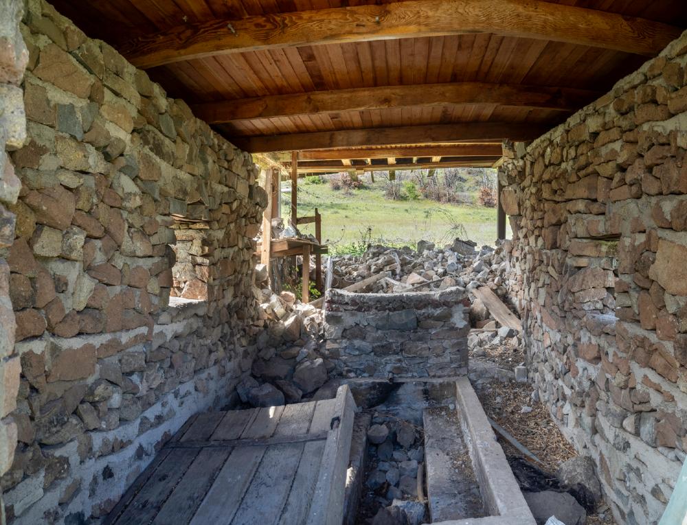
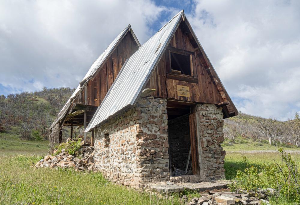
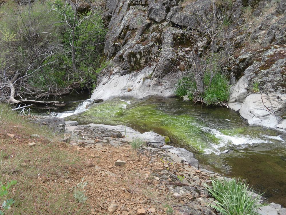
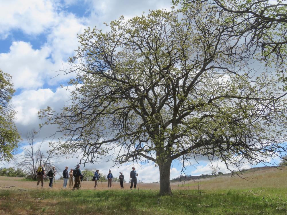
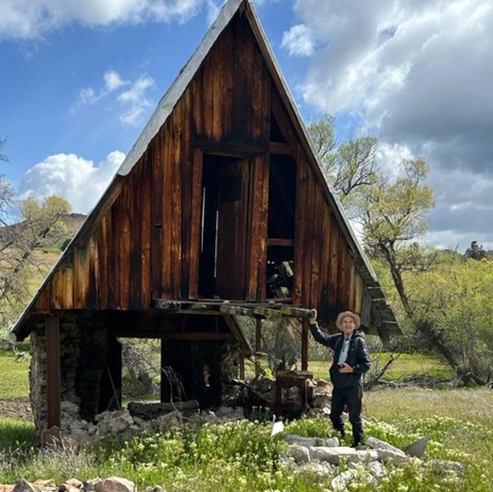
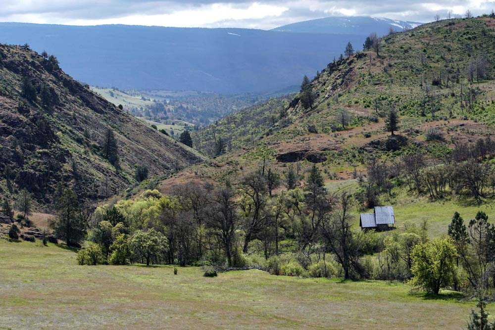
We took the same route on the trail as last year following Scotch Creek into the higher meadows. Randy and Jerry crossed the creek using plastic bags to protect their boots from the rushing water. They explored two stone shelters where water and hay are stored for the horses during dry summer weather.

The creek turns right and heads east into the hills. Halted by another creek crossing, we took a slanting trail up to the top of an open meadow. Lunch came after a climb to the top of a hill overlooking the grasslands below.

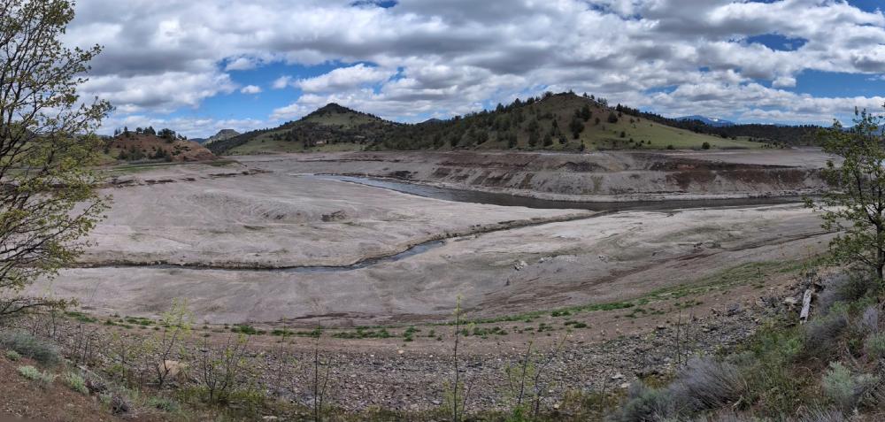
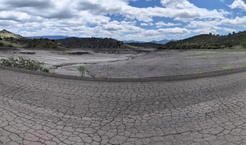
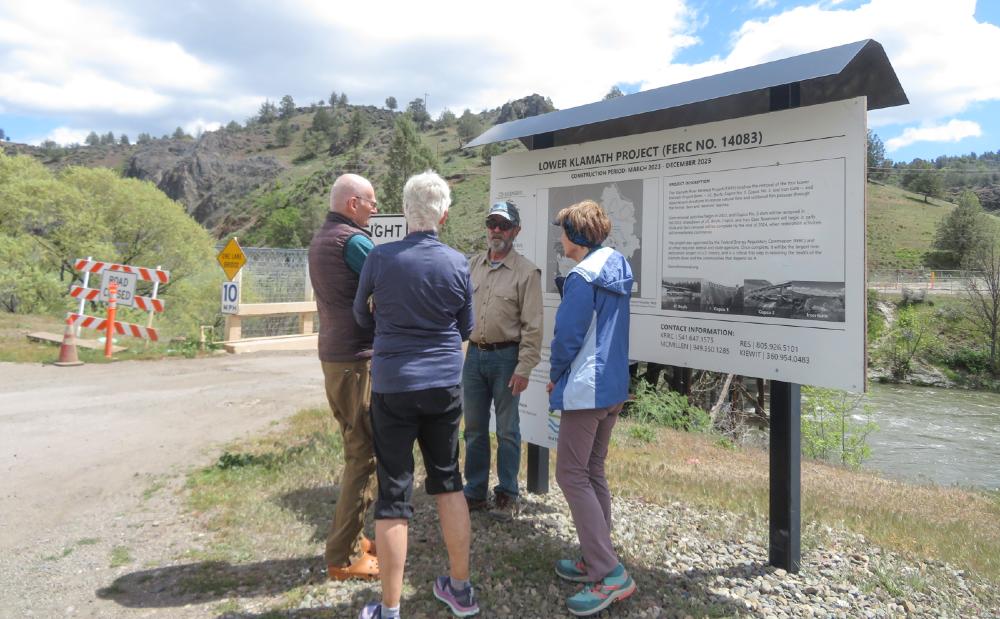
We didn’t see the 30+ horses from last year, perhaps the noise and activity from the three dam removal projects

made them move deeper into the ranch away from the TH.

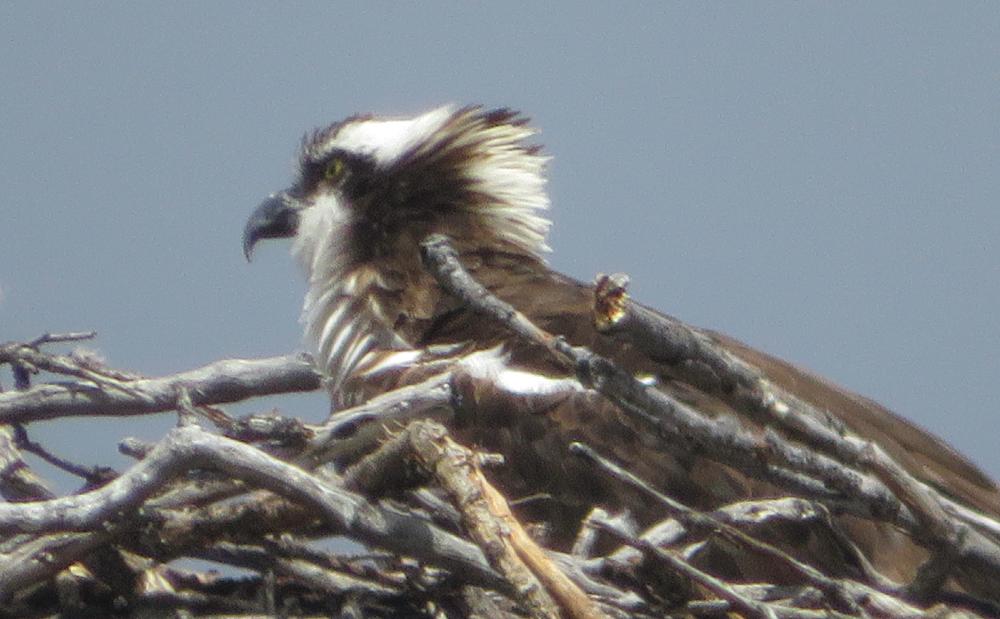
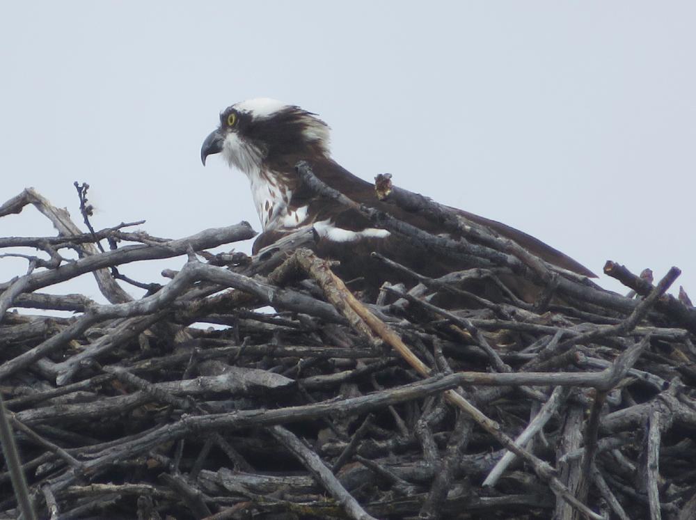
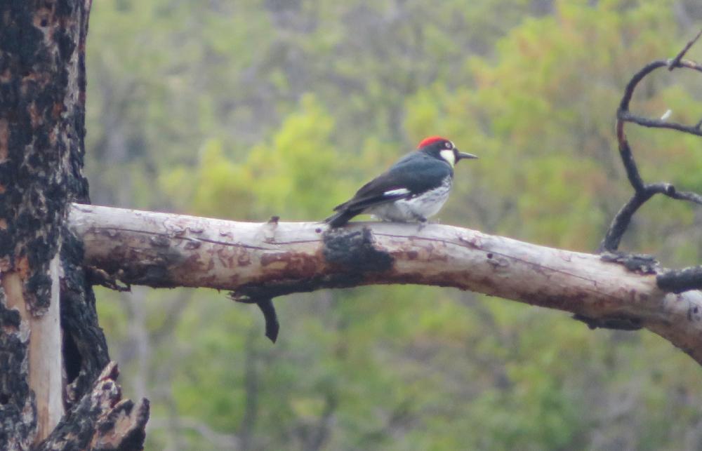
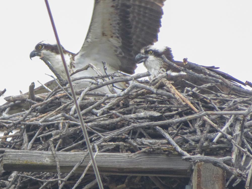
On the way back to the cars, we spotted a large nest in a snag and got pictures of the occupants. White-headed Osprey both the parent and the offspring.

On this day, we hiked 4+ miles with 600 feet of gain.

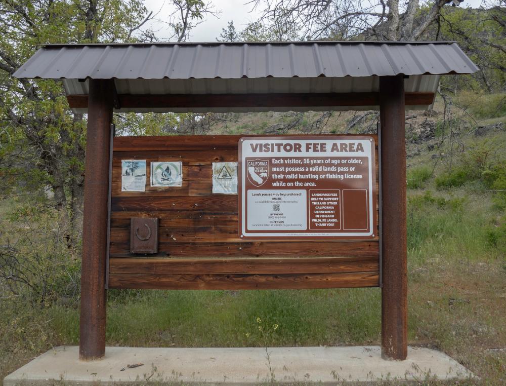
Note: To hike at the Horseshoe Ranch Wildlife Area, hikers must purchase a California Lands Pass ($5.66) online at the California Department of Fish and Wildlife site.

Hike Leader: Rich Stickle

Photos By: Jerry, Steve, Linda, Randy

Posted in Horseshoe Ranch, Monday, Woods

Post navigation

← Older posts
Newer posts →
↑