↓
 
Ashland Hiking Group 
 
  • About Us
  • Posted Hikes
    • Recent
    • Monday
    • Wednesday
    • Friday
    • Friday Flower
  • Hike Schedules
    • Monday
      • Current
      • Previous
    • Wednesday
      • Current
      • Previous
    • Friday
      • Current
      • Previous
    • Friday Flower
      • Current
      • Previous
  • Locations
    • Lakes
      • Applegate Lake
      • Azalea Lake
      • Castle Lake
      • Crater Lake
      • Duck Lakes
      • East Boulder Lake
      • Emigrant Lake
      • Fish Lake
      • Kangaroo Lake
      • Lost Creek Lake
      • Mountain Lakes
      • Puck Lakes
      • Seven Lakes
      • Sky Lakes
      • Smith Lake
      • Squaw Lakes
      • Taylor Lake
    • PCT
      • Brown Mountain
      • Castle Crags
      • Cement Bluff
      • Etna Summit
      • Greensprings Area
      • Gumboot Boulder
      • Hyatt/Greensprings Summit
      • Hyatt Reservoir
      • Mt Ashland Area
      • Pilot Rock Area
      • Porcupine Lake
      • Red Buttes
    • Rivers & Streams
      • Elk Creek
      • Frog Pond
      • Kelsey Creek
      • Lower Rogue
      • Mill Creek Falls
      • Sacramento River
      • Squaw Valley Creek
      • Upper Rogue
      • Taylor Creek
    • Snow Shoes
      • Buck Prairie
      • Crater Lake
      • Deadwood
      • Great Meadow
      • Grouse Gap
      • Hyatt Lake
      • Moon Prairie
      • Mt Ashland
      • Mt Shasta
      • Pederson
      • Pilot Rock
      • Summit Sno-Park
    • Mountains & Summits
      • A>L
        • Abbot Butte
        • Anderson Butte
        • Arch Rock
        • Baldy Peak
        • Big Red Mountain
        • Bolt Mountain
        • Castle Crags
        • Collings Mountain
        • Frank Hill Road
        • Grayback Mountain
        • Grizzly Peak
        • Kerby Peak
      • M>Z
        • Mount Ashland
        • Mount Bailey
        • Mount Eddy
        • Mount Elijah
        • Mount Shasta
        • Pompadour Bluff
        • Roxy Ann
        • Squaw Peak
        • Stein Butte
        • Stukel Mountain
        • Table Rocks
        • Union Peak
        • Wagner Butte
    • Woods
      • Ashland City
      • Ashland Watershed
      • Bear Creek Greenway
      • Cathedral Hills
      • Denman Wildlife Refuge
      • East Applegate Ridge
      • Enchanted Forest
      • Greenhorn Park
      • Greensprings Area
      • High Lakes Trail
      • Horseshoe Ranch
      • Jack Ash
      • Jacksonville
      • Layton Mine Ditch
      • Pacifica
      • Sterling Mine Ditch
      • Steves 40 Acres
    • Miscellaneous
  • Images
    • Resize @ 1000H ,1000V & med before uploading
  • Log In

Post navigation

← Older posts
Newer posts →

Songer Butte

Ashland Hiking Group Posted on November 6, 2023 by Randy BryanApril 23, 2024

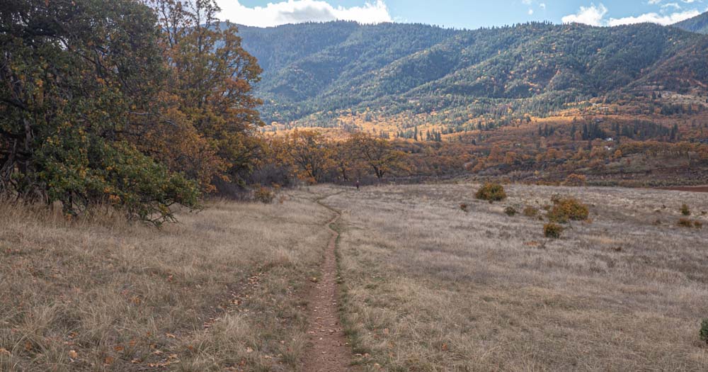
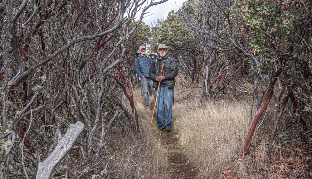
Bits of rain on and off during the past week made the trail damp, muddy and at times slippery; so we changed the scheduled hike up Big Songer Butte to the less steep hike to Little Songer.

Once again Hiker’s Luck prevailed as the predicted forecast of rain and wind never showed up and we had a gorgeous calm and partly sunny day.

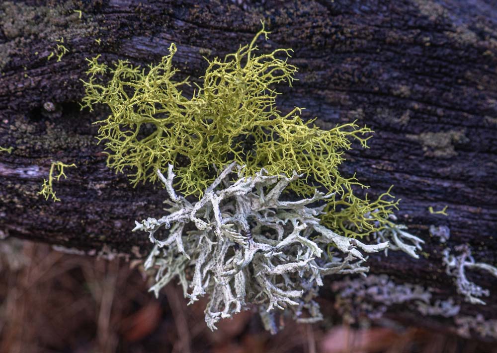
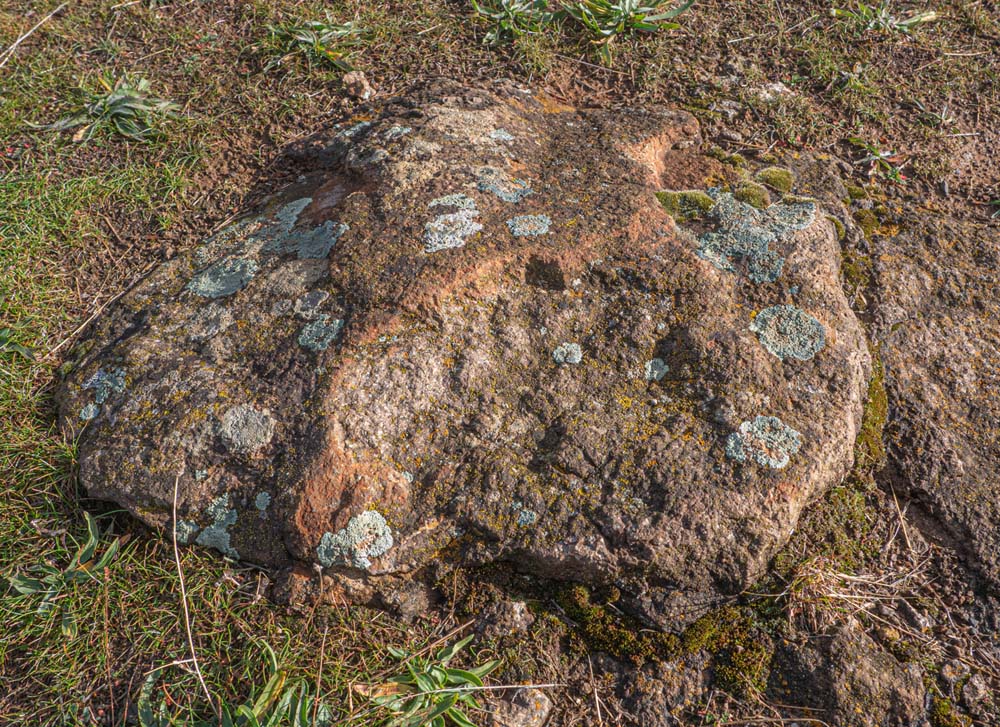
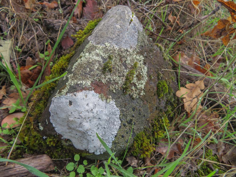
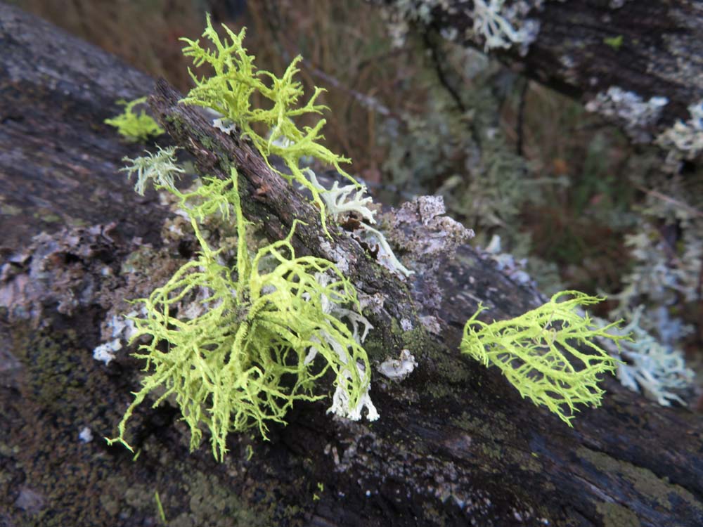
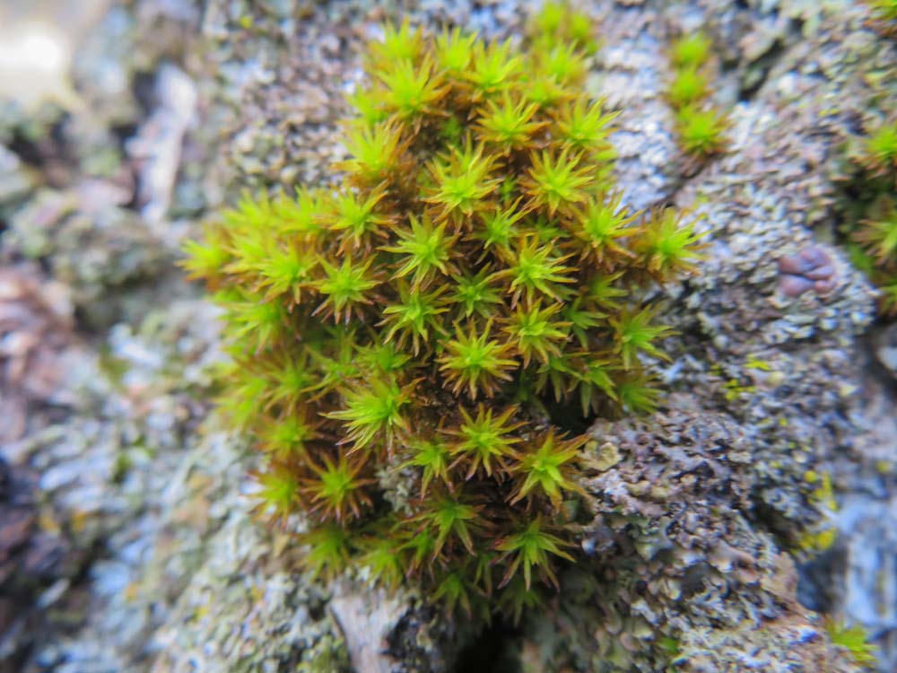
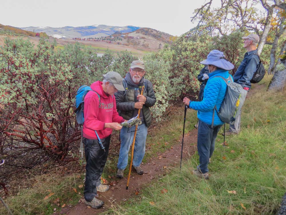
Liz, our Flower Floozy, suggested at the Greensprings Spur TH that we should be on the lookout for seasonal Lichen, now that wildflower season has passed. I spotted the first, as Shield Lichen was growing on a flat rock in the middle of the lower trail. After that bit of excitement, Liz did her due diligence back in the line and checked off five more spottings from her lichen list.

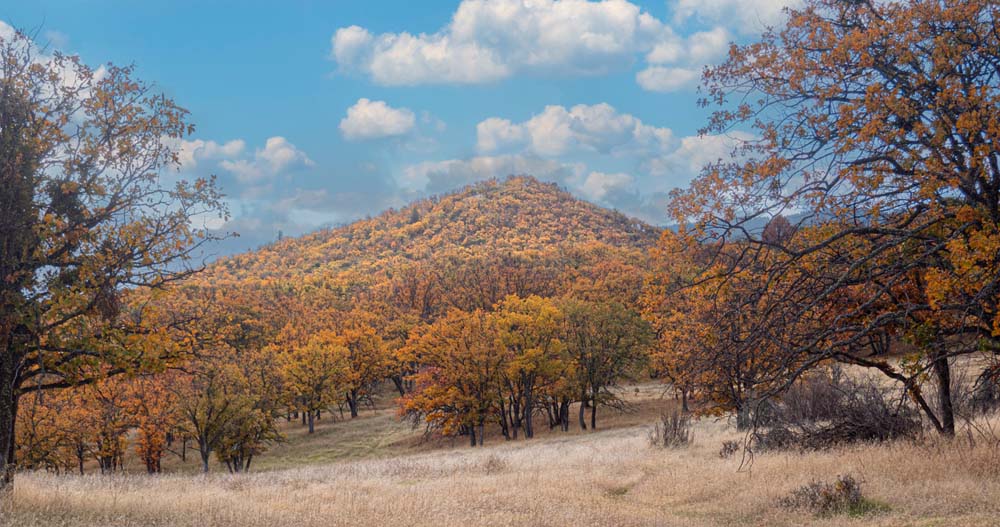
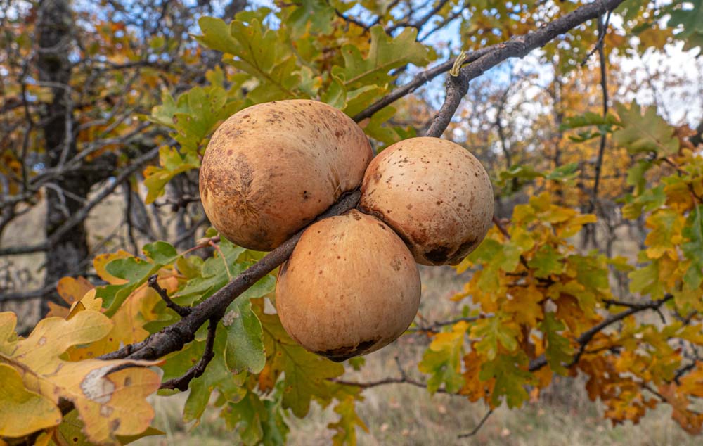
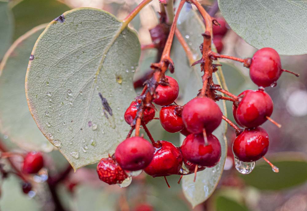
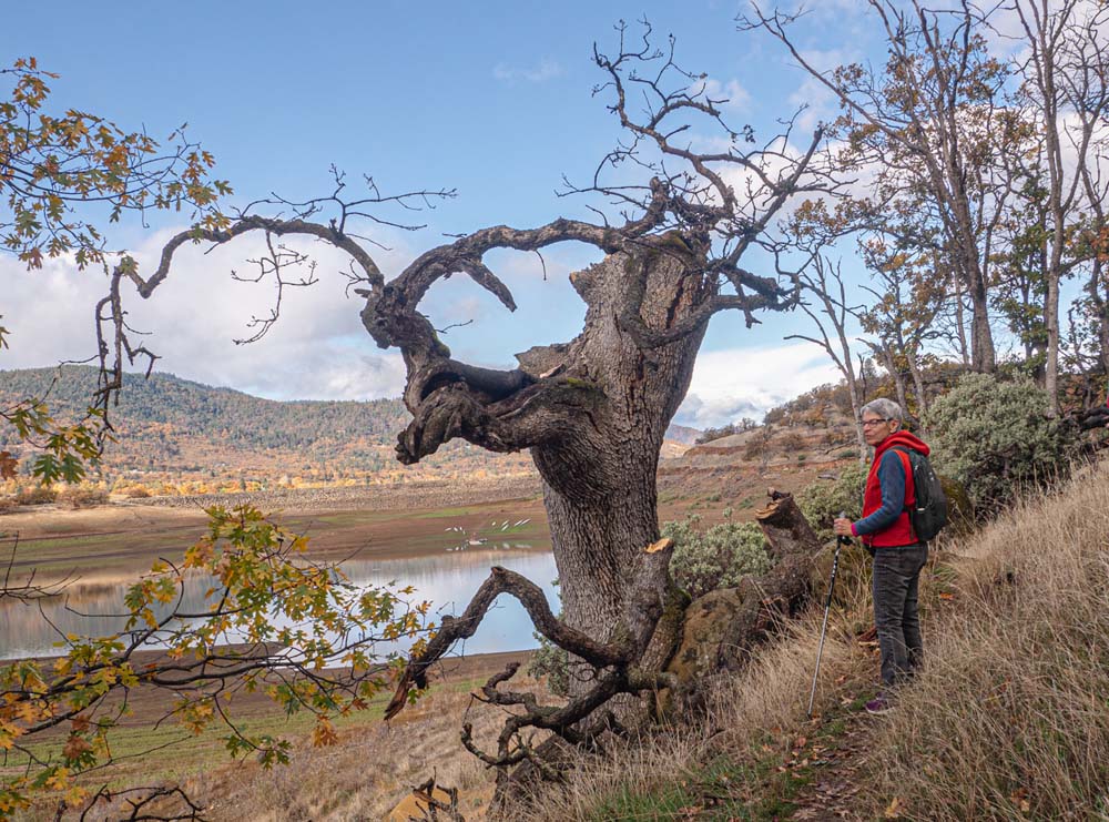
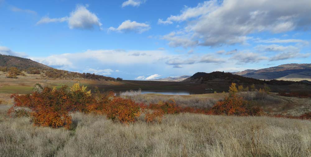
Fall colors were prevalent all around the lake region with sunlight off changing Oak leafs adding to the effect. Wild rose shrubs were now full of ripening rose hips, and Manzanita shrubs were displaying their red berries.

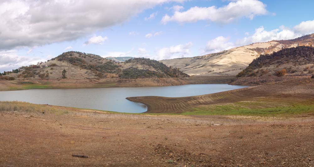
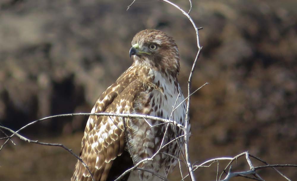
Along the lower trail, we saw a local hawk perched at the top of a tree and a two-person rowing shell getting their exercise in the lake.

Even the last part of the trail to Little Songer was a bit slippery, so rescheduling Big Songer with its 600′ of elevation gain to a drier day seemed reasonable.

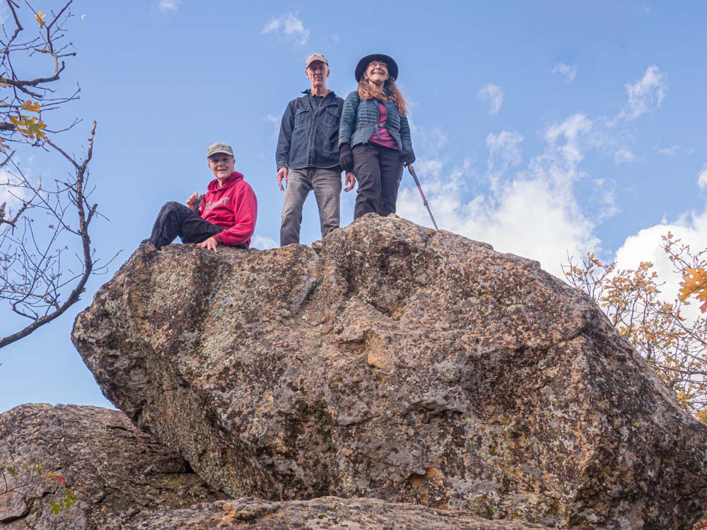
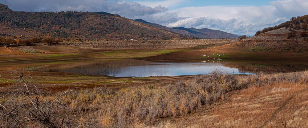
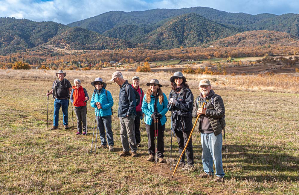
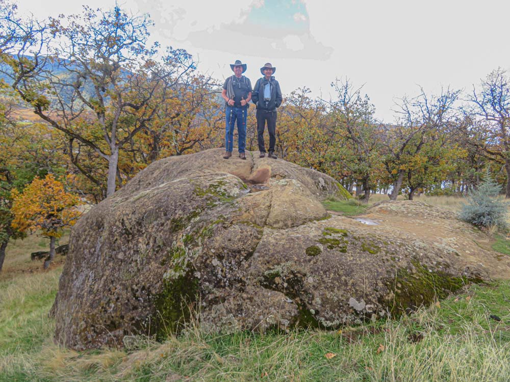
Three in our group of nine climbed up on the large boulder at the top of Little Songer, but all of us got a great view of the sunny south with Emigrant Creek still flowing into the lake and Pilot Rock up on the Siskiyou ridge.

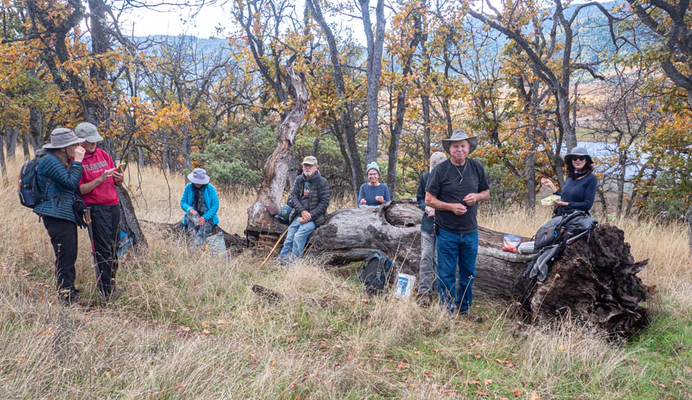
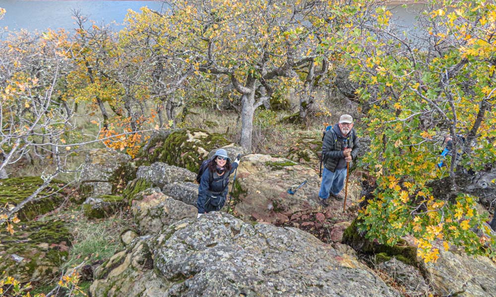
We followed the rocky trail down off the south side of Little Songer and headed back on the upper Spur trail for higher views of the lake. We stopped on our way back at a massive downed tree for our lunch spot.

On the day, we did 3.3 miles out and back with a total gain of 600′.

Next week we’ll hike up Bolt Mountain in Josephine County, 8:30 departure from the Rite Aid parking lot.

Hike Leader: Rich Stickle

Photos By: Linda, Randy

Posted in Emigrant Lake, Lakes, Monday

Post navigation

← Older posts
Newer posts →
↑