↓
 
Ashland Hiking Group 
 
  • About Us
  • Posted Hikes
    • Recent
    • Monday
    • Wednesday
    • Friday
    • Friday Flower
  • Hike Schedules
    • Monday
      • Current
      • Previous
    • Wednesday
      • Current
      • Previous
    • Friday
      • Current
      • Previous
    • Friday Flower
      • Current
      • Previous
  • Locations
    • Lakes
      • Applegate Lake
      • Azalea Lake
      • Castle Lake
      • Crater Lake
      • Duck Lakes
      • East Boulder Lake
      • Emigrant Lake
      • Fish Lake
      • Kangaroo Lake
      • Lost Creek Lake
      • Mountain Lakes
      • Puck Lakes
      • Seven Lakes
      • Sky Lakes
      • Smith Lake
      • Squaw Lakes
      • Taylor Lake
    • PCT
      • Brown Mountain
      • Castle Crags
      • Cement Bluff
      • Etna Summit
      • Greensprings Area
      • Gumboot Boulder
      • Hyatt/Greensprings Summit
      • Hyatt Reservoir
      • Mt Ashland Area
      • Pilot Rock Area
      • Porcupine Lake
      • Red Buttes
    • Rivers & Streams
      • Elk Creek
      • Frog Pond
      • Kelsey Creek
      • Lower Rogue
      • Mill Creek Falls
      • Sacramento River
      • Squaw Valley Creek
      • Upper Rogue
      • Taylor Creek
    • Snow Shoes
      • Buck Prairie
      • Crater Lake
      • Deadwood
      • Great Meadow
      • Grouse Gap
      • Hyatt Lake
      • Moon Prairie
      • Mt Ashland
      • Mt Shasta
      • Pederson
      • Pilot Rock
      • Summit Sno-Park
    • Mountains & Summits
      • A>L
        • Abbot Butte
        • Anderson Butte
        • Arch Rock
        • Baldy Peak
        • Big Red Mountain
        • Bolt Mountain
        • Castle Crags
        • Collings Mountain
        • Frank Hill Road
        • Grayback Mountain
        • Grizzly Peak
        • Kerby Peak
      • M>Z
        • Mount Ashland
        • Mount Bailey
        • Mount Eddy
        • Mount Elijah
        • Mount Shasta
        • Pompadour Bluff
        • Roxy Ann
        • Squaw Peak
        • Stein Butte
        • Stukel Mountain
        • Table Rocks
        • Union Peak
        • Wagner Butte
    • Woods
      • Ashland City
      • Ashland Watershed
      • Bear Creek Greenway
      • Cathedral Hills
      • Denman Wildlife Refuge
      • East Applegate Ridge
      • Enchanted Forest
      • Greenhorn Park
      • Greensprings Area
      • High Lakes Trail
      • Horseshoe Ranch
      • Jack Ash
      • Jacksonville
      • Layton Mine Ditch
      • Pacifica
      • Sterling Mine Ditch
      • Steves 40 Acres
    • Miscellaneous
  • Images
    • Resize @ 1000H ,1000V & med before uploading
  • Log In

Post navigation

← Older posts
Newer posts →

Jacksonville Woodlands

Ashland Hiking Group Posted on November 10, 2023 by Randy BryanApril 23, 2024

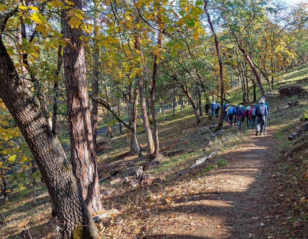
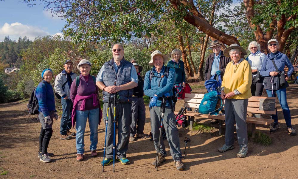
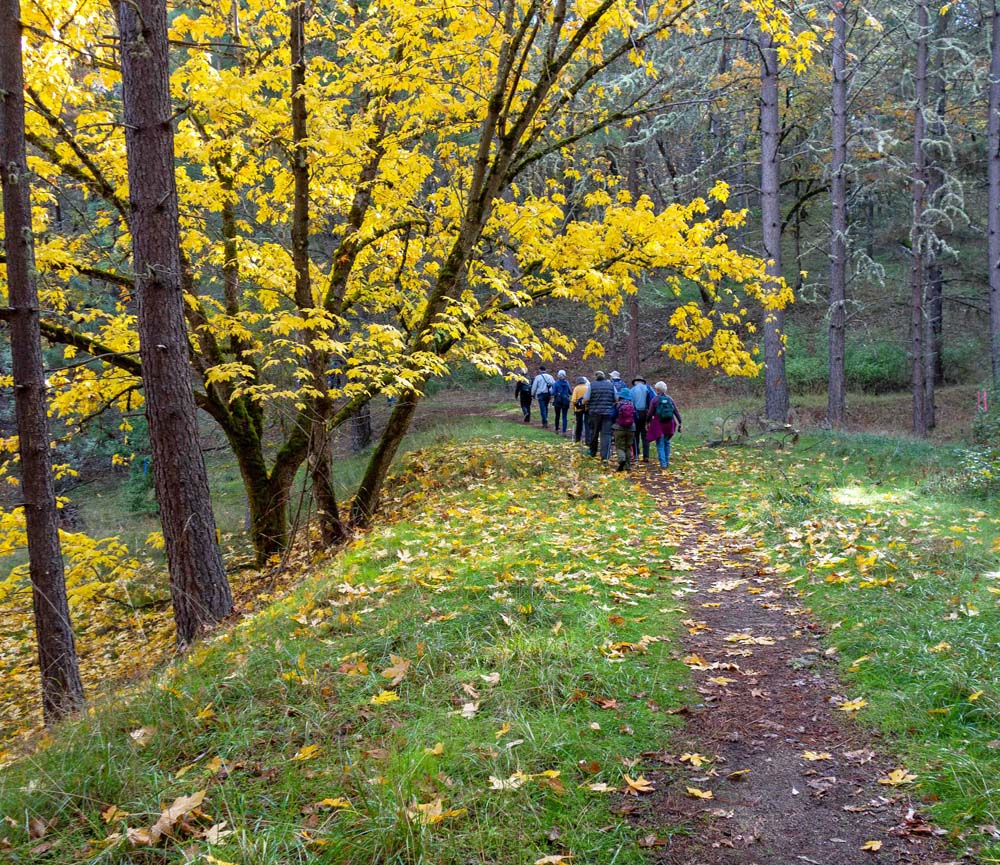
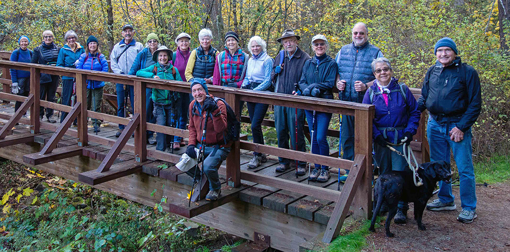
This Friday we enjoyed brilliant autumn colors with patches of warm sunlight in the Jacksonville Woodlands. Seventeen of us were exuberant to be in the woods filled with golden maples and green moss and lichen-covered conifers. Many thanks to the Jacksonville Woodlands Association and the Southern Oregon Land Conservancy for protecting the natural setting and providing the hiking trails.

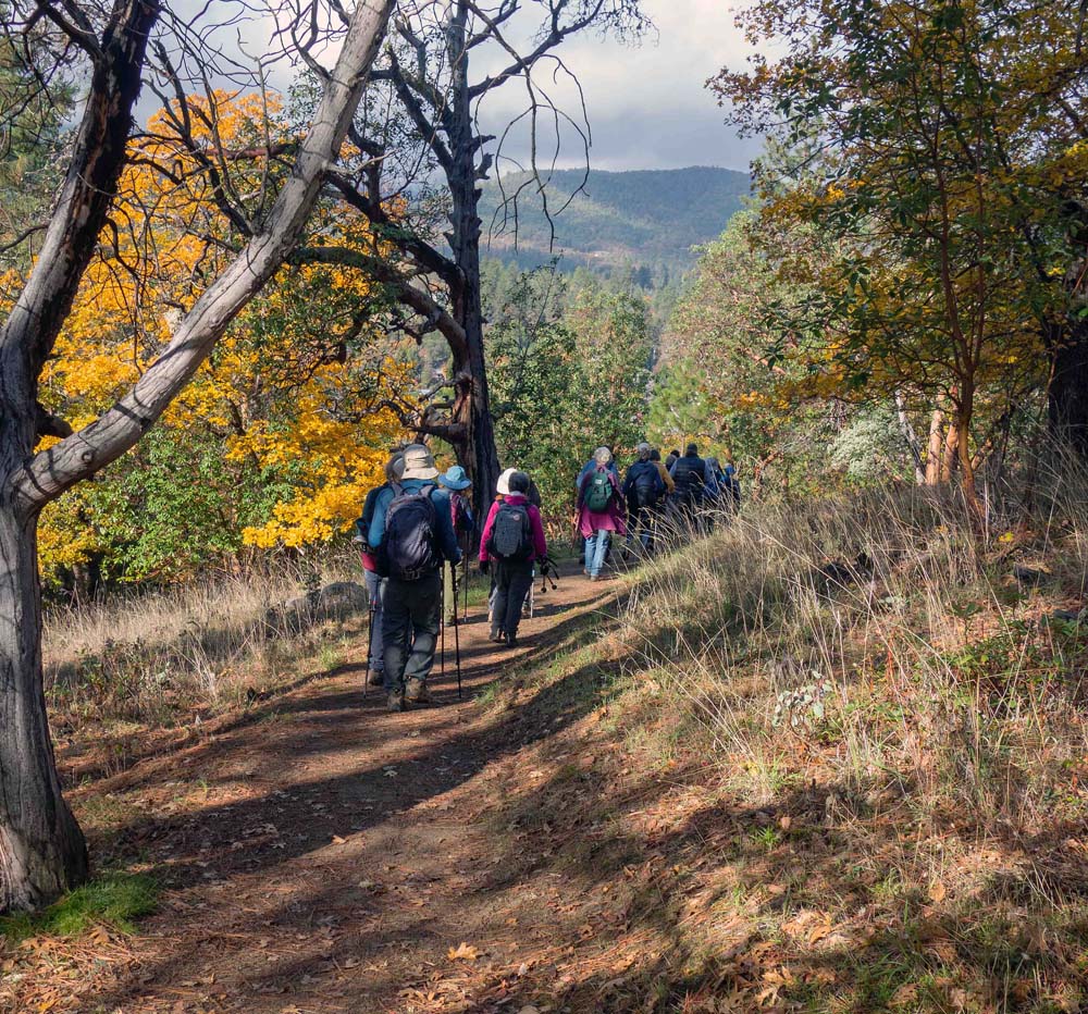
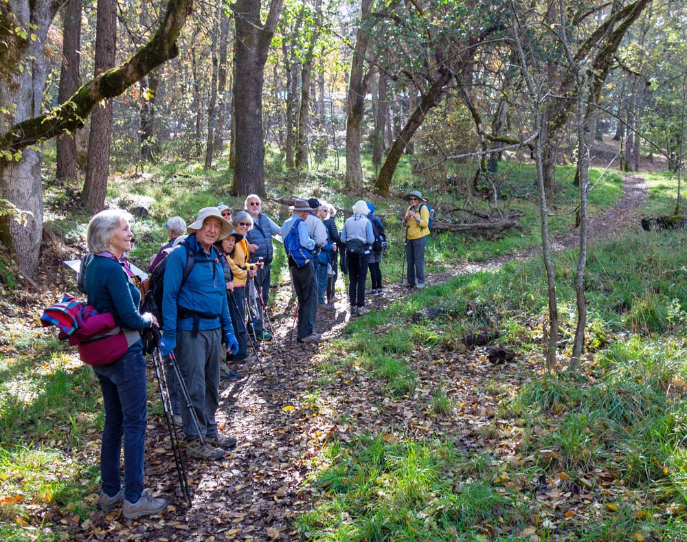
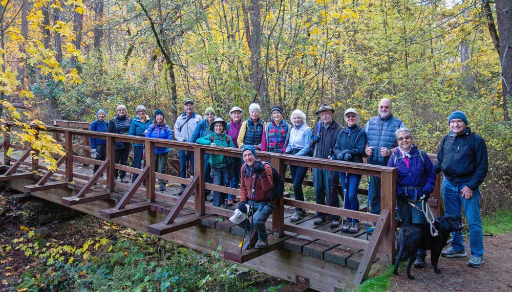
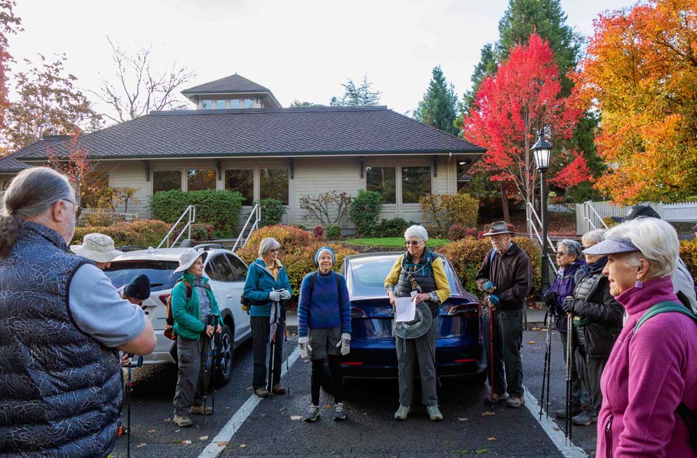
We hiked the History Loop trail from Britt Gardens to the Beekman House. Starting at the Jacksonville Library parking lot, we went up to the Britt Gardens and turned right onto the Sarah Zigler Trail. A passing hiker shot a group photograph of us with her black dog. We crossed the bridge and continued up to the spur to the Panorama Point.

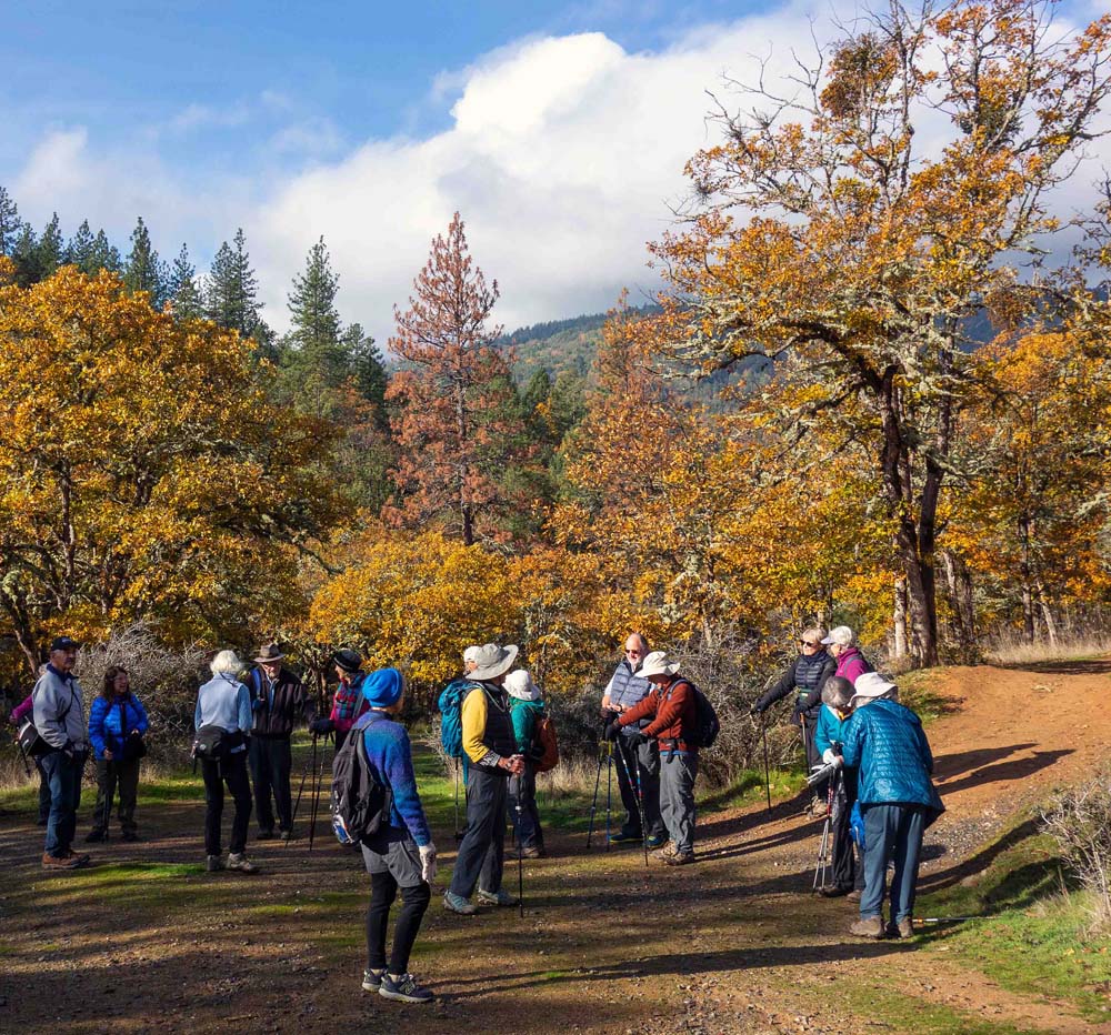
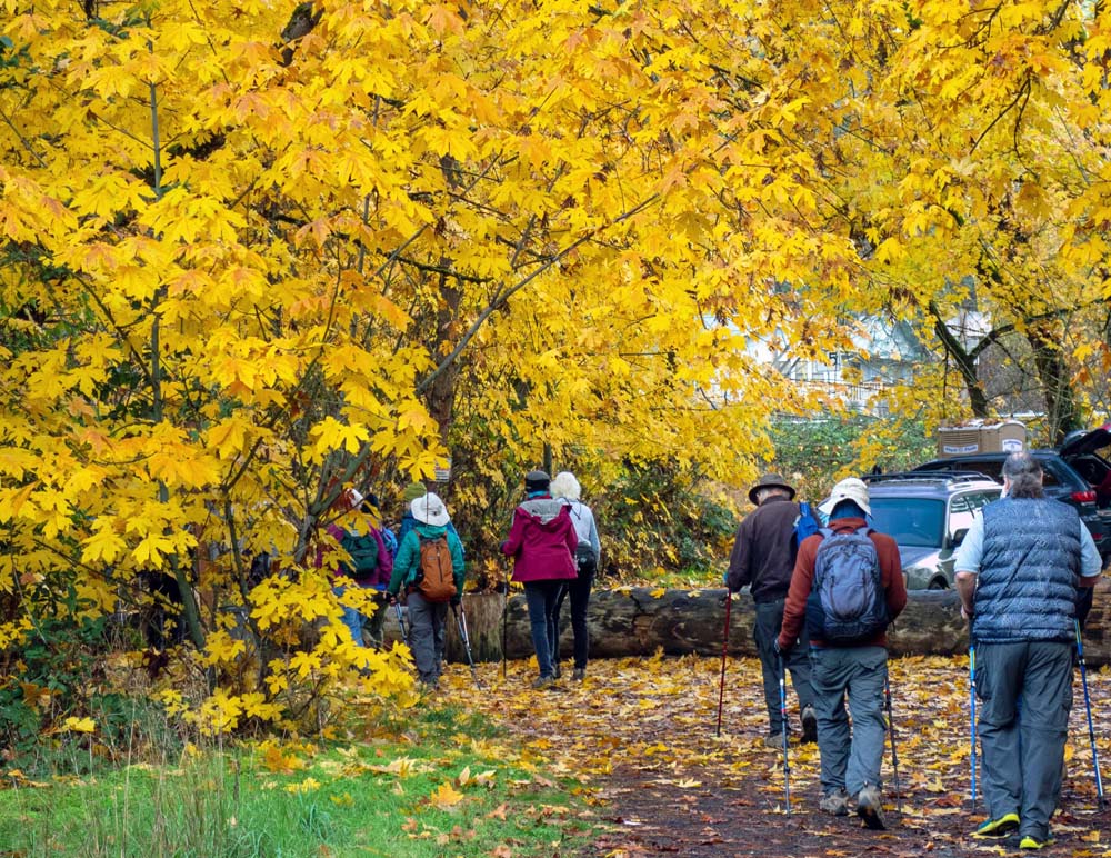
Returning down the hill we took the trail by the Chinese mining diggings, crossed Hill Street, and continued down to the trail past Bebe Woods. Juncos, bush tits, and nuthatches chattered as we headed down Hill Street then turning right onto Graham Street. We crossed Third Street and then hiked on the Grove Trail to the Beekman Loop. Finally, we admired the golden aspen trees in the Arboretum along with all the native plants.

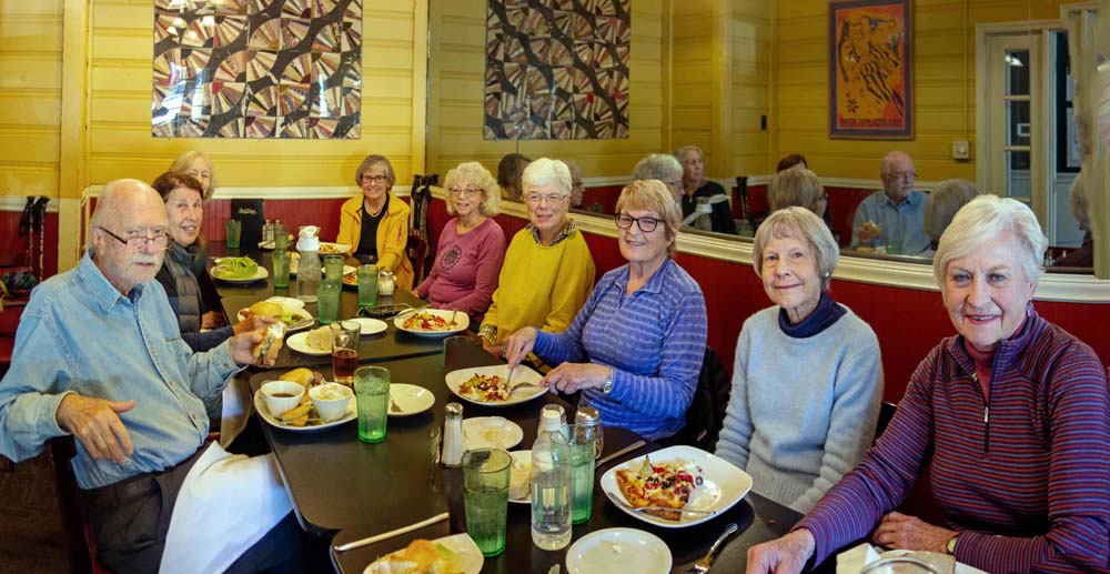
We ended by walking down to California Street and headed back to the parking lot. Many of us enjoyed lunch at Bella Union with good conversation about hiking and travel adventures. Total distance hiked: 4.0 miles, with 400’ elevation gain.

Photos By: Tysen

Posted in Friday, Jacksonville, Woods

Post navigation

← Older posts
Newer posts →
↑