↓
 
Ashland Hiking Group 
 
  • About Us
  • Posted Hikes
    • Recent
    • Monday
    • Wednesday
    • Friday
    • Friday Flower
  • Hike Schedules
    • Monday
      • Current
      • Previous
    • Wednesday
      • Current
      • Previous
    • Friday
      • Current
      • Previous
    • Friday Flower
      • Current
      • Previous
  • Locations
    • Lakes
      • Applegate Lake
      • Azalea Lake
      • Castle Lake
      • Crater Lake
      • Duck Lakes
      • East Boulder Lake
      • Emigrant Lake
      • Fish Lake
      • Kangaroo Lake
      • Lost Creek Lake
      • Mountain Lakes
      • Puck Lakes
      • Seven Lakes
      • Sky Lakes
      • Smith Lake
      • Squaw Lakes
      • Taylor Lake
    • PCT
      • Brown Mountain
      • Castle Crags
      • Cement Bluff
      • Etna Summit
      • Greensprings Area
      • Gumboot Boulder
      • Hyatt/Greensprings Summit
      • Hyatt Reservoir
      • Mt Ashland Area
      • Pilot Rock Area
      • Porcupine Lake
      • Red Buttes
    • Rivers & Streams
      • Elk Creek
      • Frog Pond
      • Kelsey Creek
      • Lower Rogue
      • Mill Creek Falls
      • Sacramento River
      • Squaw Valley Creek
      • Upper Rogue
      • Taylor Creek
    • Snow Shoes
      • Buck Prairie
      • Crater Lake
      • Deadwood
      • Great Meadow
      • Grouse Gap
      • Hyatt Lake
      • Moon Prairie
      • Mt Ashland
      • Mt Shasta
      • Pederson
      • Pilot Rock
      • Summit Sno-Park
    • Mountains & Summits
      • A>L
        • Abbot Butte
        • Anderson Butte
        • Arch Rock
        • Baldy Peak
        • Big Red Mountain
        • Bolt Mountain
        • Castle Crags
        • Collings Mountain
        • Frank Hill Road
        • Grayback Mountain
        • Grizzly Peak
        • Kerby Peak
      • M>Z
        • Mount Ashland
        • Mount Bailey
        • Mount Eddy
        • Mount Elijah
        • Mount Shasta
        • Pompadour Bluff
        • Roxy Ann
        • Squaw Peak
        • Stein Butte
        • Stukel Mountain
        • Table Rocks
        • Union Peak
        • Wagner Butte
    • Woods
      • Ashland City
      • Ashland Watershed
      • Bear Creek Greenway
      • Cathedral Hills
      • Denman Wildlife Refuge
      • East Applegate Ridge
      • Enchanted Forest
      • Greenhorn Park
      • Greensprings Area
      • High Lakes Trail
      • Horseshoe Ranch
      • Jack Ash
      • Jacksonville
      • Layton Mine Ditch
      • Pacifica
      • Sterling Mine Ditch
      • Steves 40 Acres
    • Miscellaneous
  • Images
    • Resize @ 1000H ,1000V & med before uploading
  • Log In

Post navigation

← Older posts
Newer posts →

Boldt Mountain

Ashland Hiking Group Posted on November 13, 2023 by Randy BryanApril 23, 2024

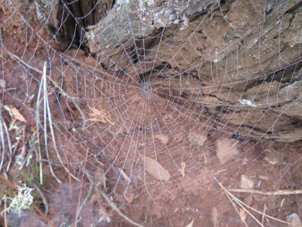
The day started damp from overnight rain, but for the most part, it was just cloudy during our hike in Josephine County.

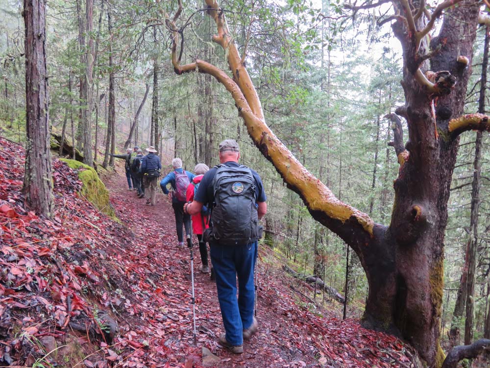
There was some drizzle when we met half our group at the Fish Hatchery Park parking area, but that diminished into nothing as we headed up the trail.

The TH is a surprisingly low 1,000′ with 3.3 miles of trail spiraling up 1,300′ to the 2,300′ summit (making Bolt Mountain a good choice for hiking year-round).

The trail is a fairly gentle grade, but with some rocks to negotiate.

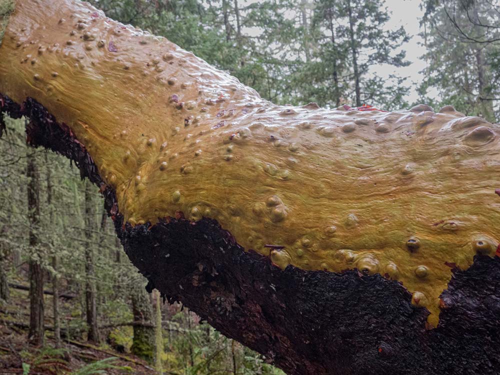
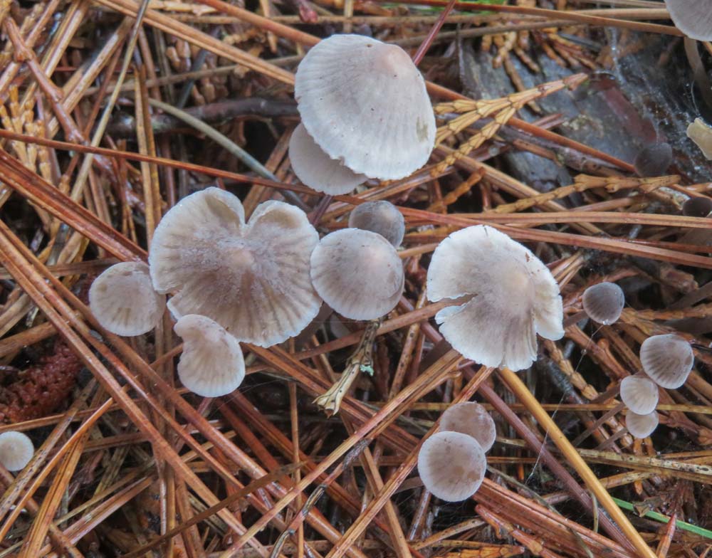
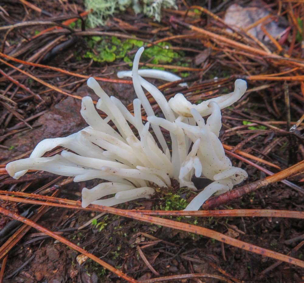
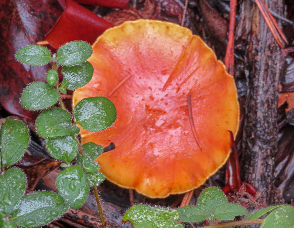
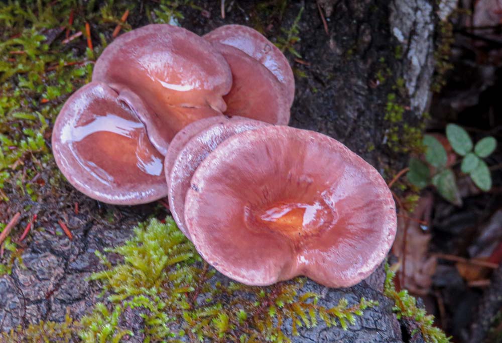
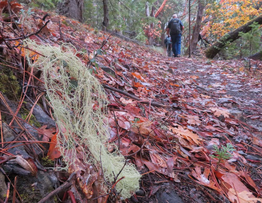
We hiked up through Maples and Oaks displaying their golden leafs as well as majestic Madrones and pines.

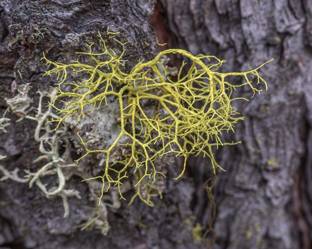
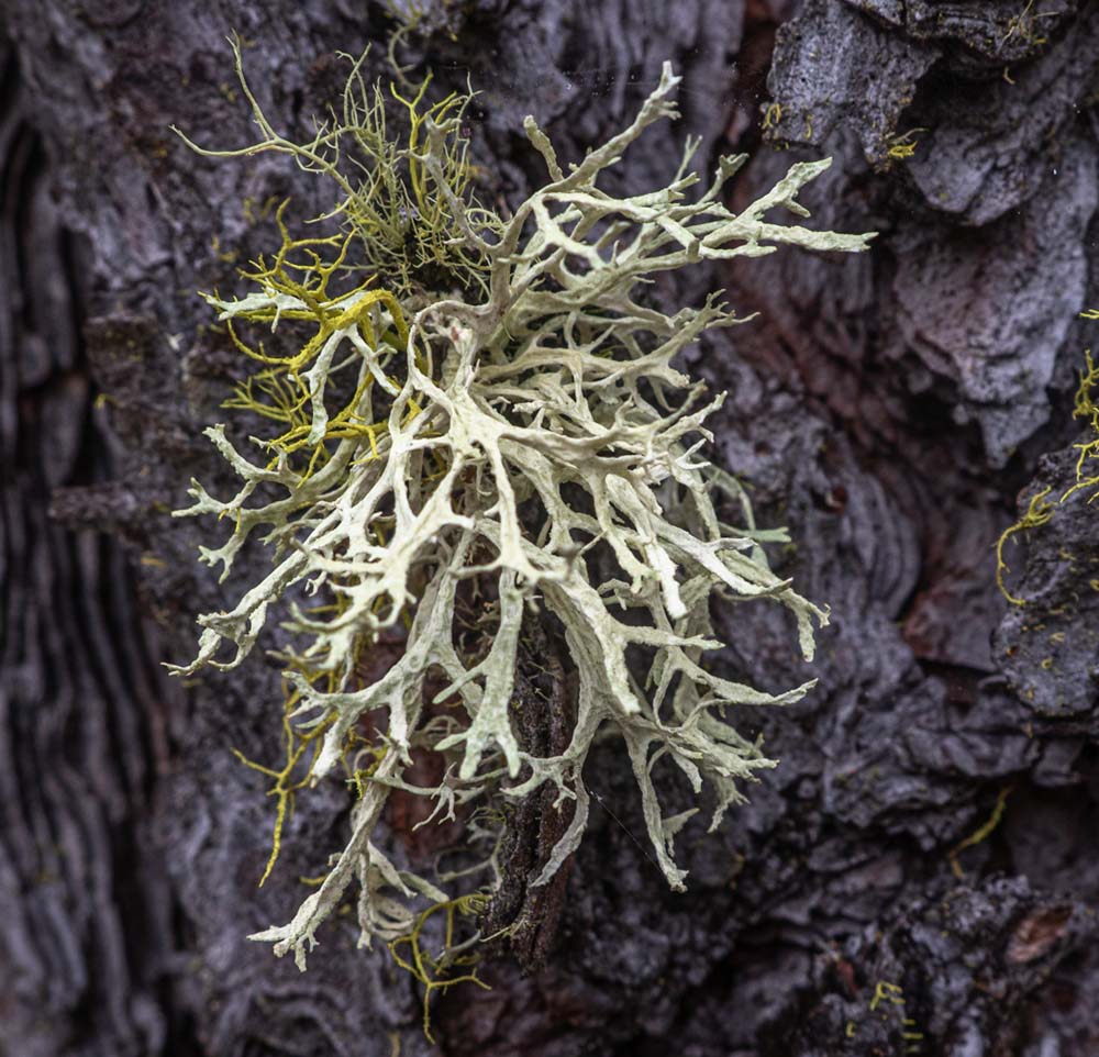
For the second Monday, we spotted all sorts of Lichen on trees and rocks. And Liz began thinking out loud about adding a couple of Lichen walks before the sort of wildflower season.

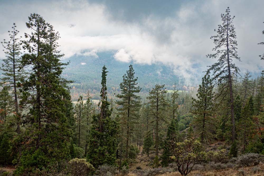
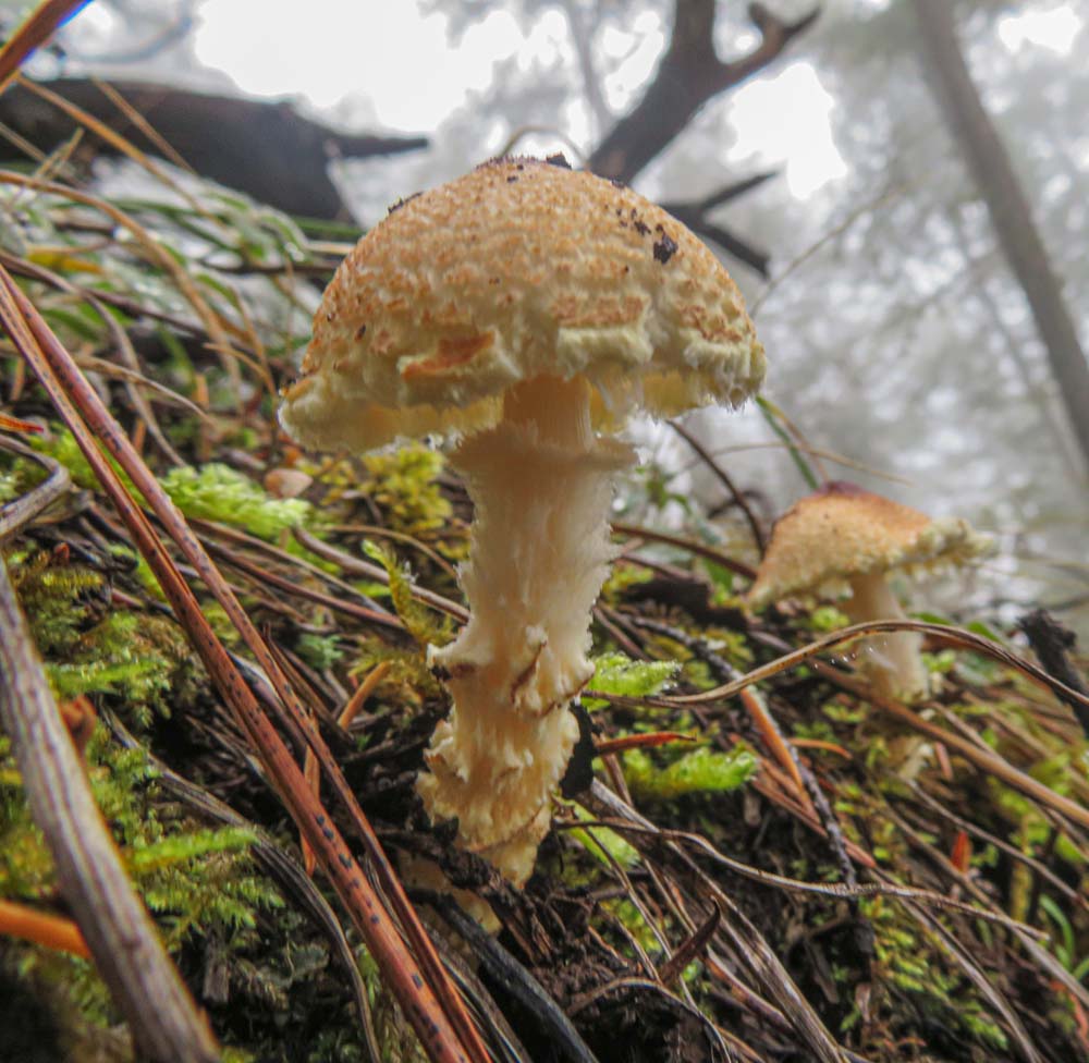
We made it up the trail in two hours to the rocky summit for lunch. On this day, our view was from the inside of low-hanging clouds. We had our lunch topped off with chocolate, then got our group shot before starting back down. As we descended we noticed the clouds were beginning to lift and had views of the valley below.

Post hike we drove back into Grants Pass for refreshments at the Weekend Beer Co. They featured home-brewed beer and cider with food trucks handy just outside.

Next week we’ll hike to Buck Rock Tunnel across Hwy 66 from Emigrant Lake.

Hike Leader: Rich Stickle

Photos By: Linda, Randy

Posted in Bolt Mountain, Monday, Mountains & Summits

Post navigation

← Older posts
Newer posts →
↑