↓
 
Ashland Hiking Group 
 
  • About Us
  • Posted Hikes
    • Recent
    • Monday
    • Wednesday
    • Friday
    • Friday Flower
  • Hike Schedules
    • Monday
      • Current
      • Previous
    • Wednesday
      • Current
      • Previous
    • Friday
      • Current
      • Previous
    • Friday Flower
      • Current
      • Previous
  • Locations
    • Lakes
      • Applegate Lake
      • Azalea Lake
      • Castle Lake
      • Crater Lake
      • Duck Lakes
      • East Boulder Lake
      • Emigrant Lake
      • Fish Lake
      • Kangaroo Lake
      • Lost Creek Lake
      • Mountain Lakes
      • Puck Lakes
      • Seven Lakes
      • Sky Lakes
      • Smith Lake
      • Squaw Lakes
      • Taylor Lake
    • PCT
      • Brown Mountain
      • Castle Crags
      • Cement Bluff
      • Etna Summit
      • Greensprings Area
      • Gumboot Boulder
      • Hyatt/Greensprings Summit
      • Hyatt Reservoir
      • Mt Ashland Area
      • Pilot Rock Area
      • Porcupine Lake
      • Red Buttes
    • Rivers & Streams
      • Elk Creek
      • Frog Pond
      • Kelsey Creek
      • Lower Rogue
      • Mill Creek Falls
      • Sacramento River
      • Squaw Valley Creek
      • Upper Rogue
      • Taylor Creek
    • Snow Shoes
      • Buck Prairie
      • Crater Lake
      • Deadwood
      • Great Meadow
      • Grouse Gap
      • Hyatt Lake
      • Moon Prairie
      • Mt Ashland
      • Mt Shasta
      • Pederson
      • Pilot Rock
      • Summit Sno-Park
    • Mountains & Summits
      • A>L
        • Abbot Butte
        • Anderson Butte
        • Arch Rock
        • Baldy Peak
        • Big Red Mountain
        • Bolt Mountain
        • Castle Crags
        • Collings Mountain
        • Frank Hill Road
        • Grayback Mountain
        • Grizzly Peak
        • Kerby Peak
      • M>Z
        • Mount Ashland
        • Mount Bailey
        • Mount Eddy
        • Mount Elijah
        • Mount Shasta
        • Pompadour Bluff
        • Roxy Ann
        • Squaw Peak
        • Stein Butte
        • Stukel Mountain
        • Table Rocks
        • Union Peak
        • Wagner Butte
    • Woods
      • Ashland City
      • Ashland Watershed
      • Bear Creek Greenway
      • Cathedral Hills
      • Denman Wildlife Refuge
      • East Applegate Ridge
      • Enchanted Forest
      • Greenhorn Park
      • Greensprings Area
      • High Lakes Trail
      • Horseshoe Ranch
      • Jack Ash
      • Jacksonville
      • Layton Mine Ditch
      • Pacifica
      • Sterling Mine Ditch
      • Steves 40 Acres
    • Miscellaneous
  • Images
    • Resize @ 1000H ,1000V & med before uploading
  • Log In

Post navigation

← Older posts
Newer posts →

Little Grayback to Ridge Below Acorn Woman Peak

Ashland Hiking Group Posted on May 1, 2024 by Randy BryanMay 1, 2024

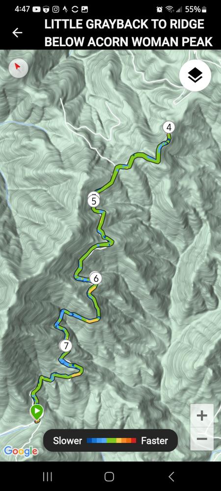
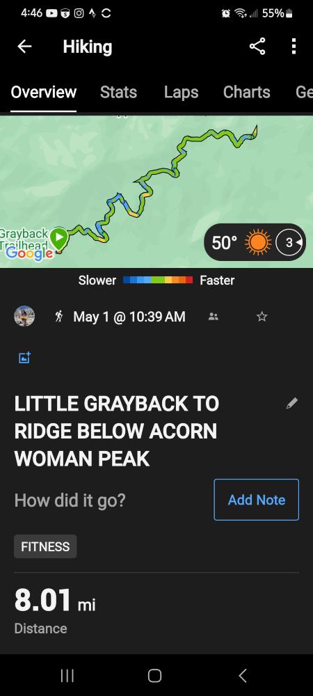
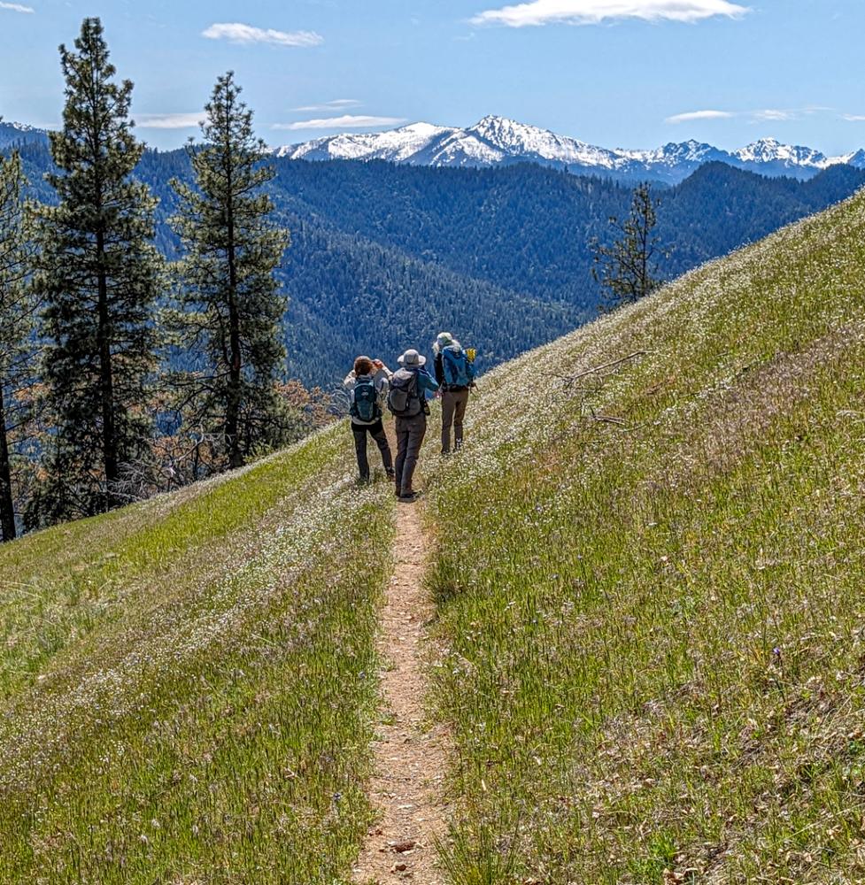
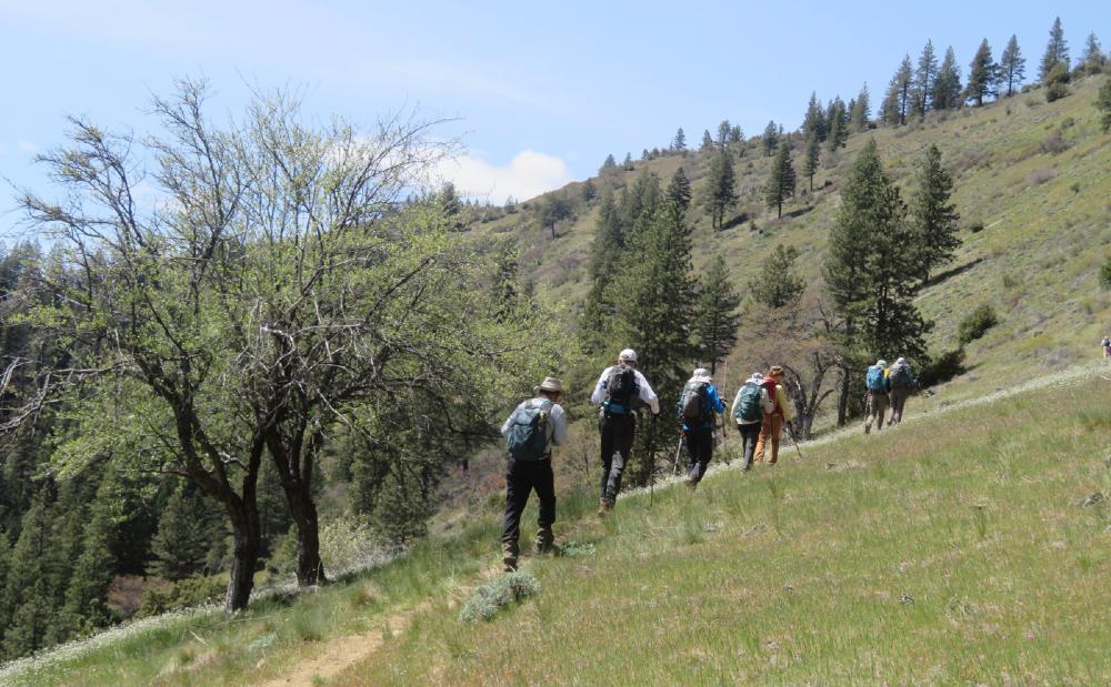
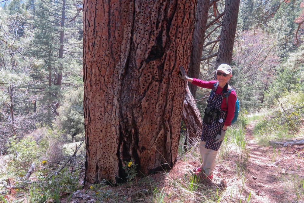
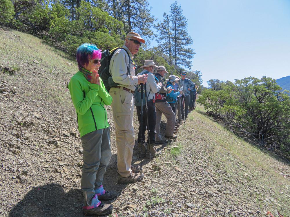
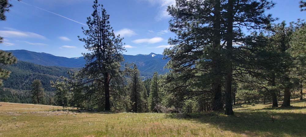
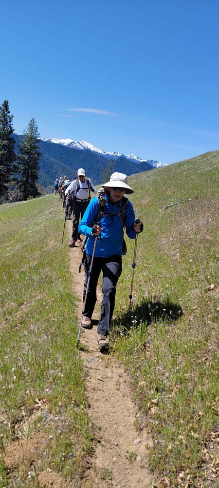
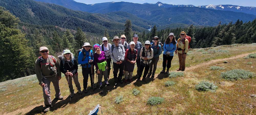
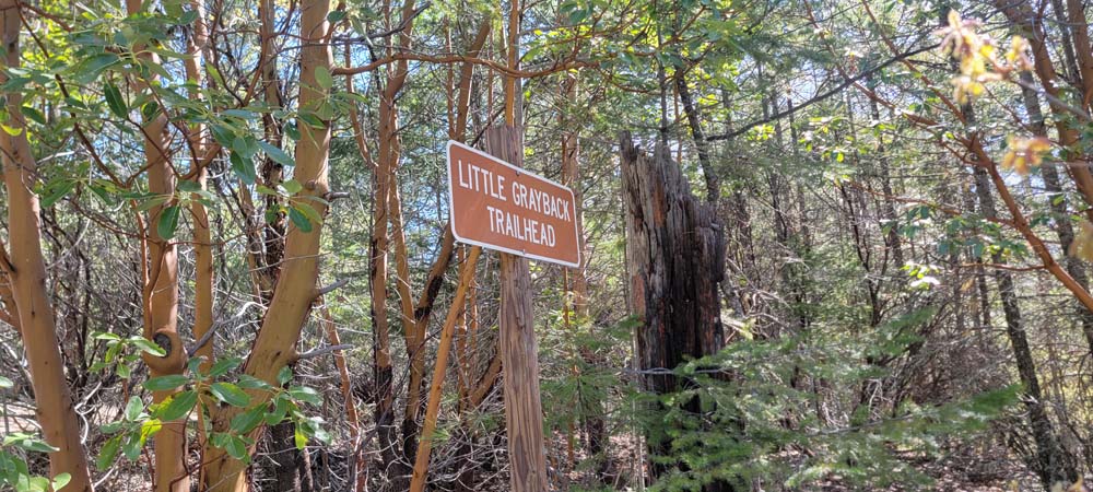
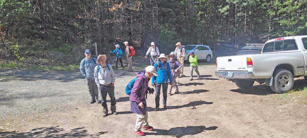
On Wednesday May 1st we had 13 hikers show up to hike from the Little Grayback Lower Trailhead to the ridge below Acorn Woman Peak. We got a late start as our cars were delayed by road construction before meeting at the Jacksonville library. We began our hike at 10:40am.

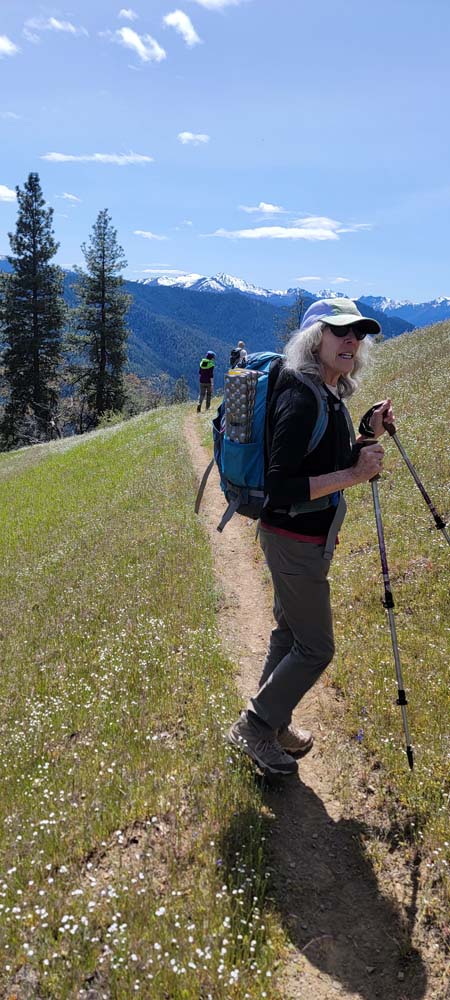
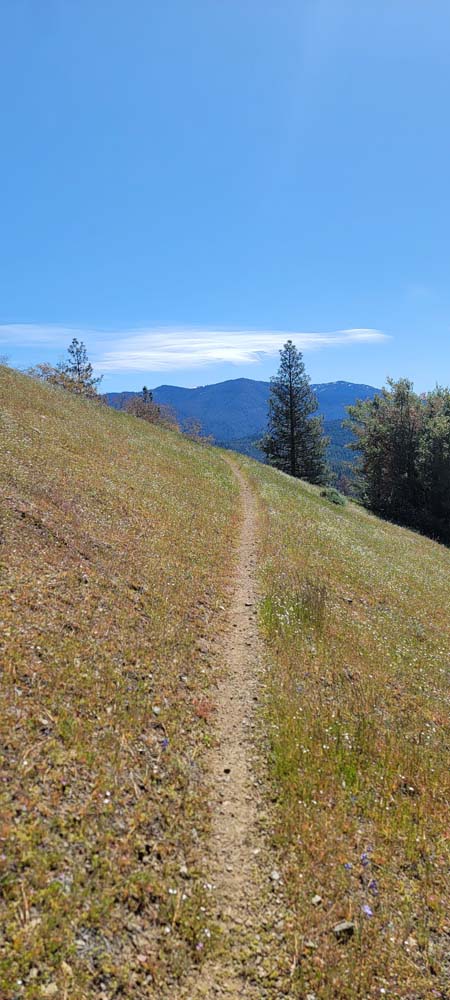
We kept a moderate pace so the large group of hikers would not get too spread out. The temperature was around 50* and the trail climbs right from the start. We had a couple of stops for wardrobe changes.

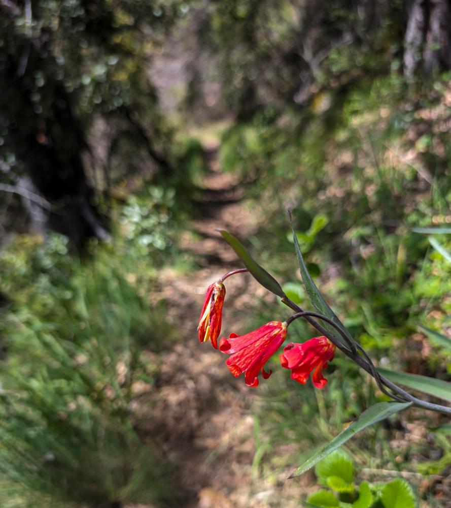
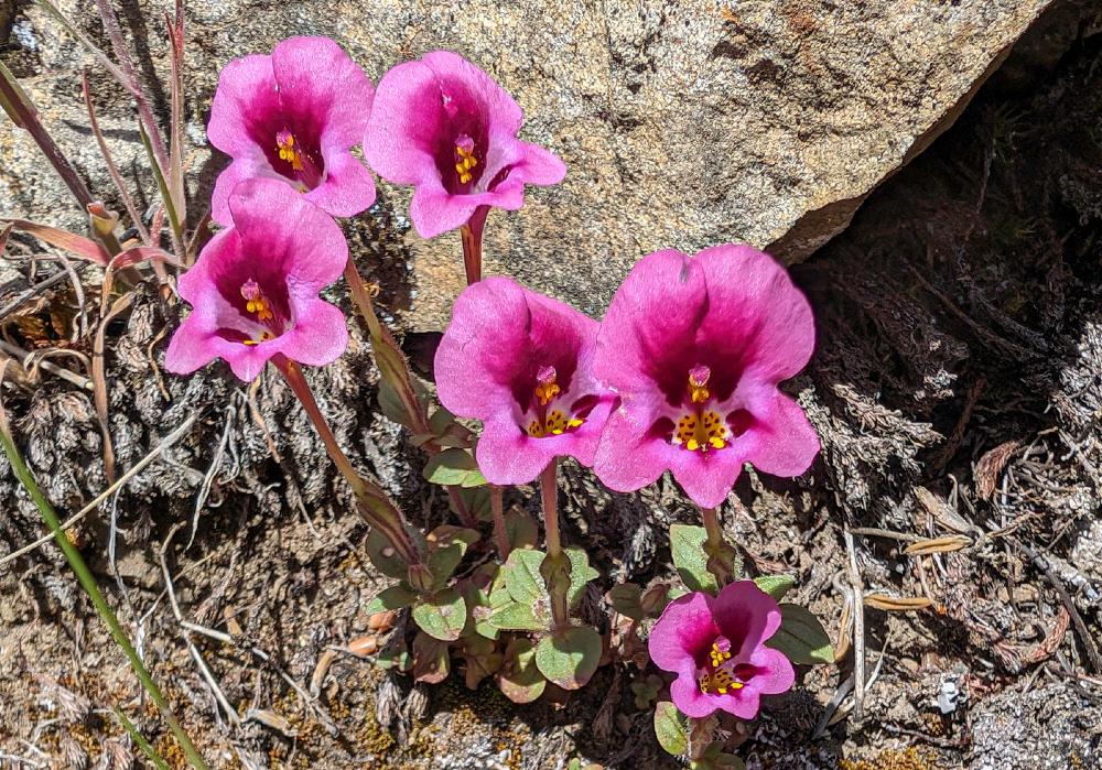
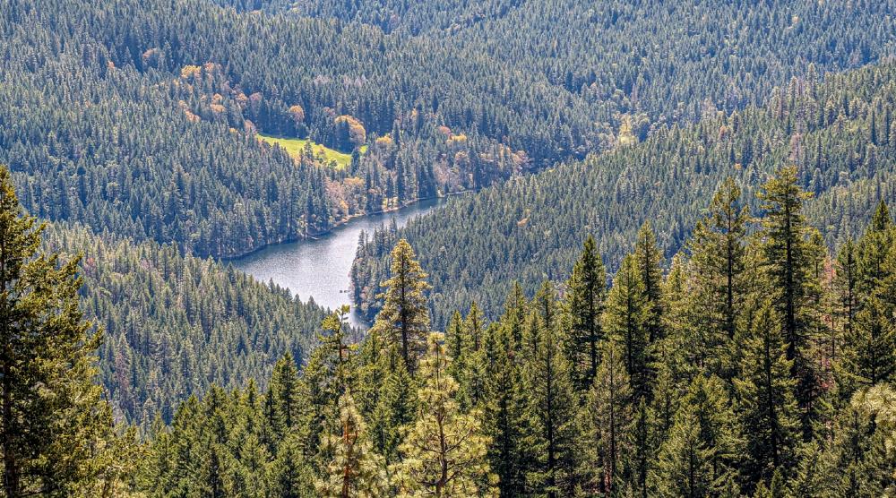
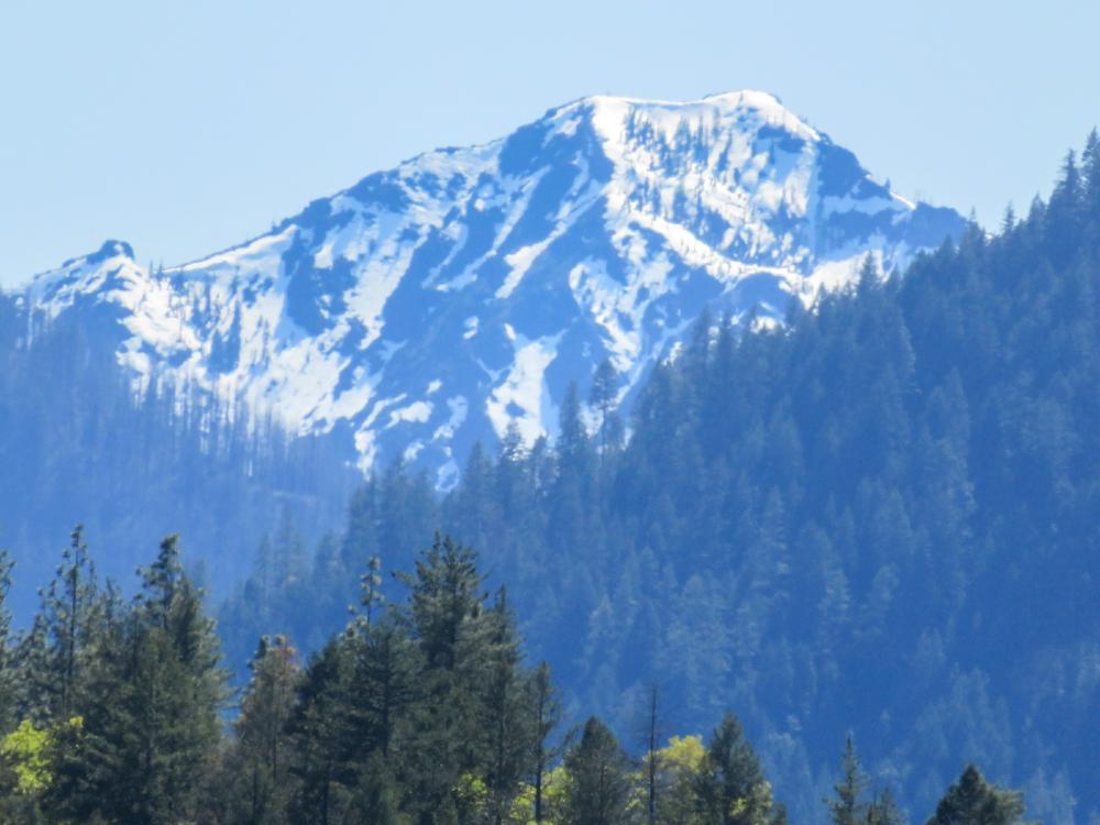
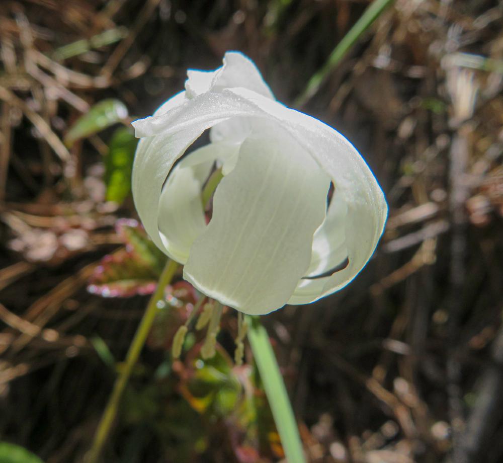
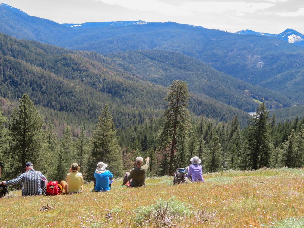
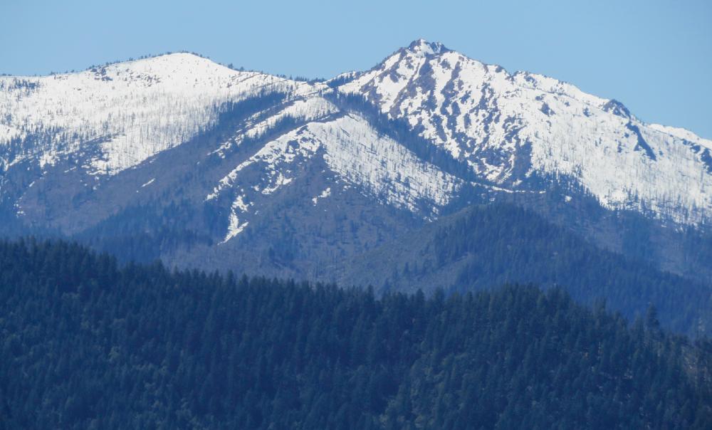
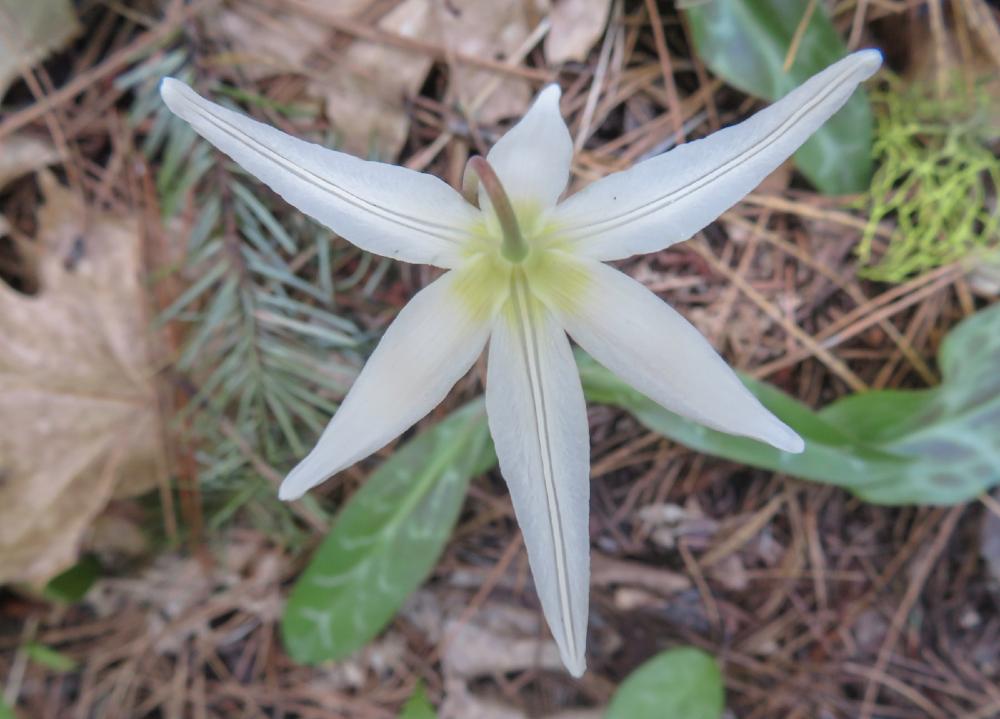
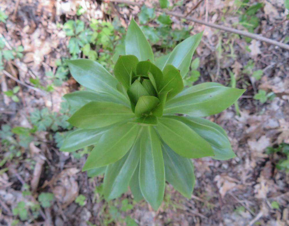
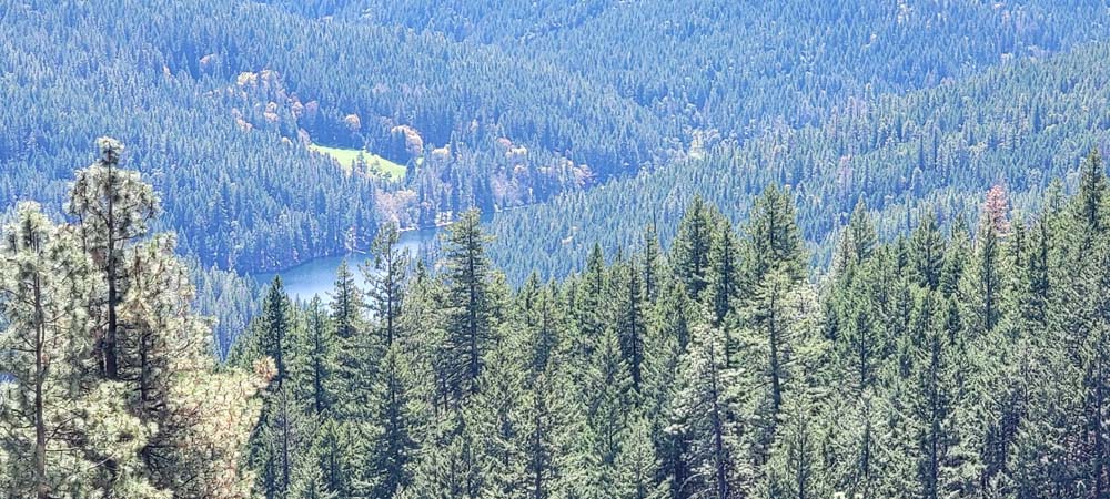
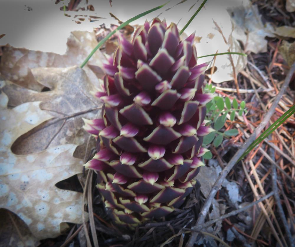
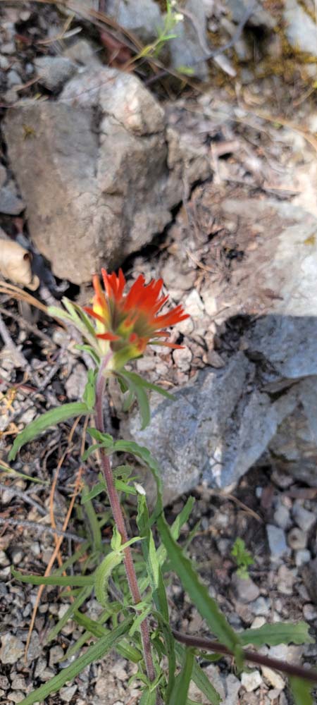
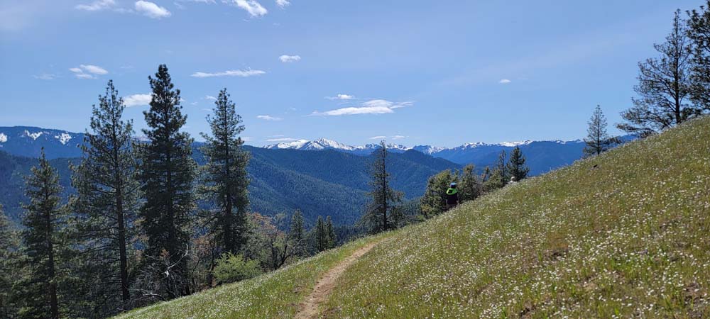
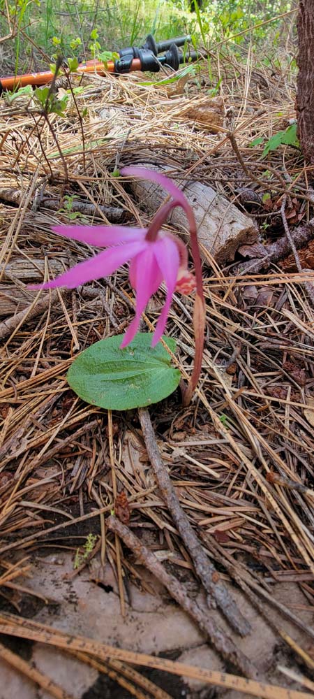
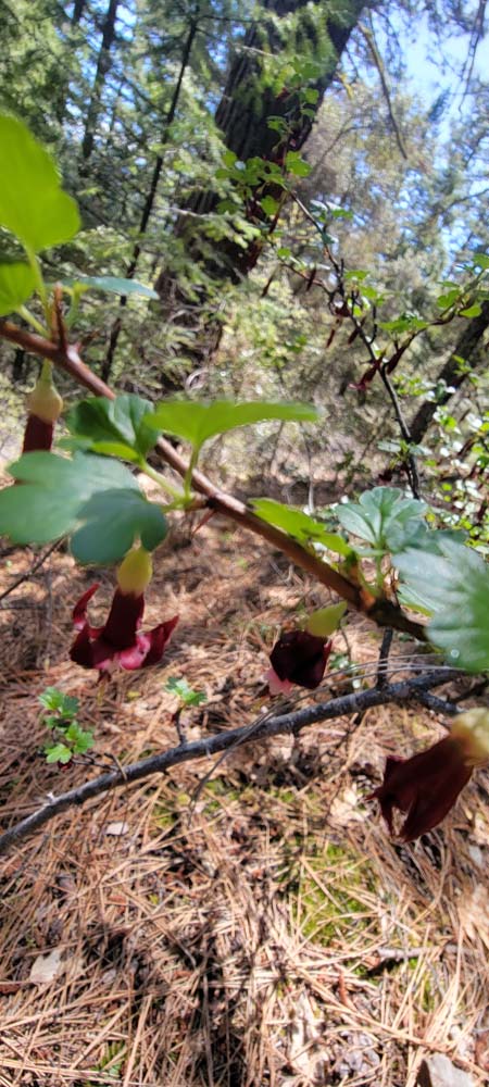
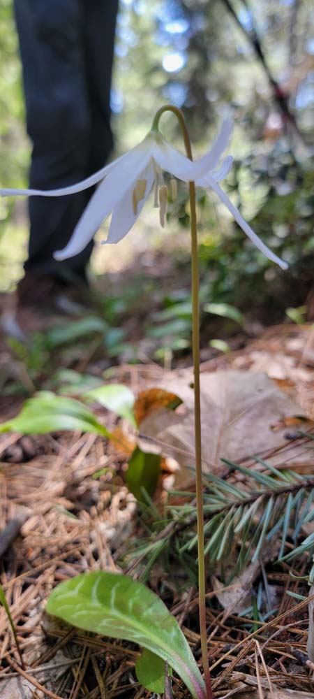
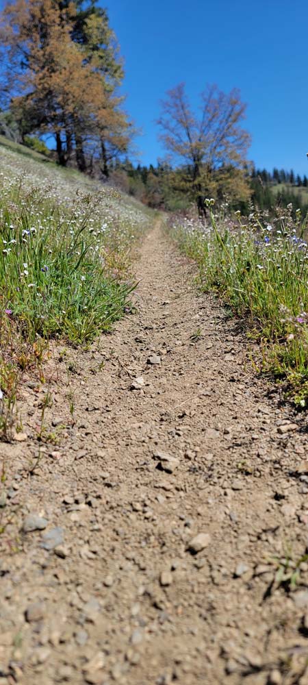
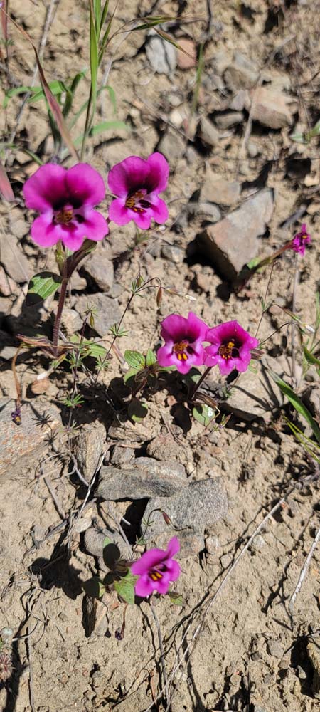
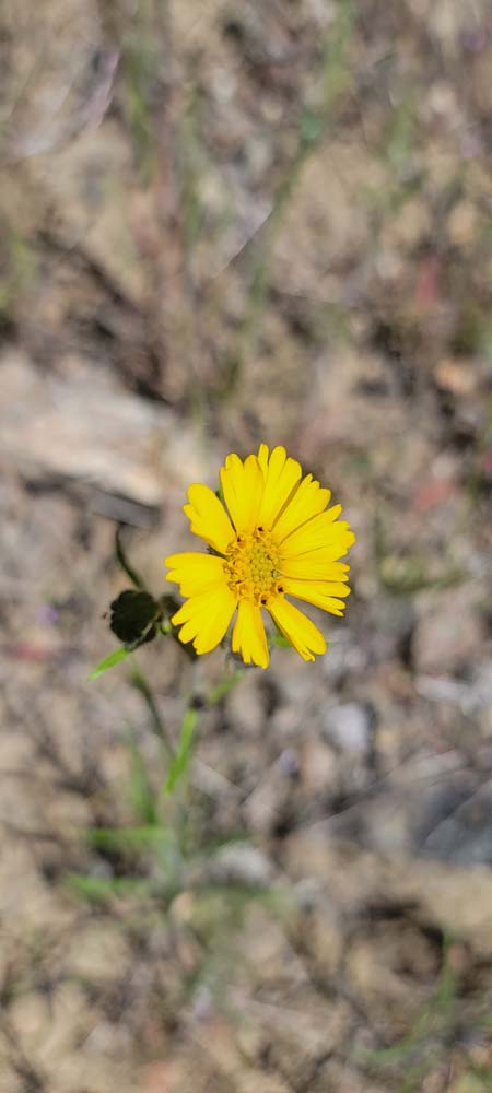
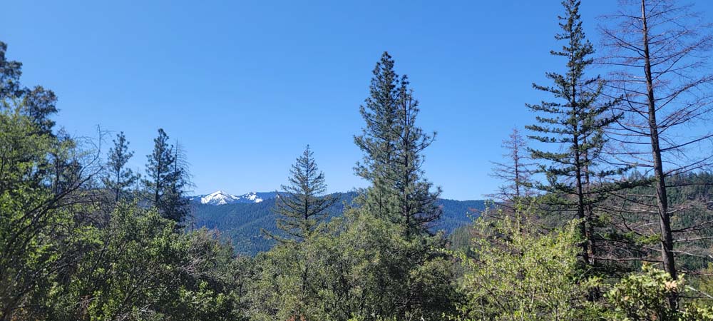
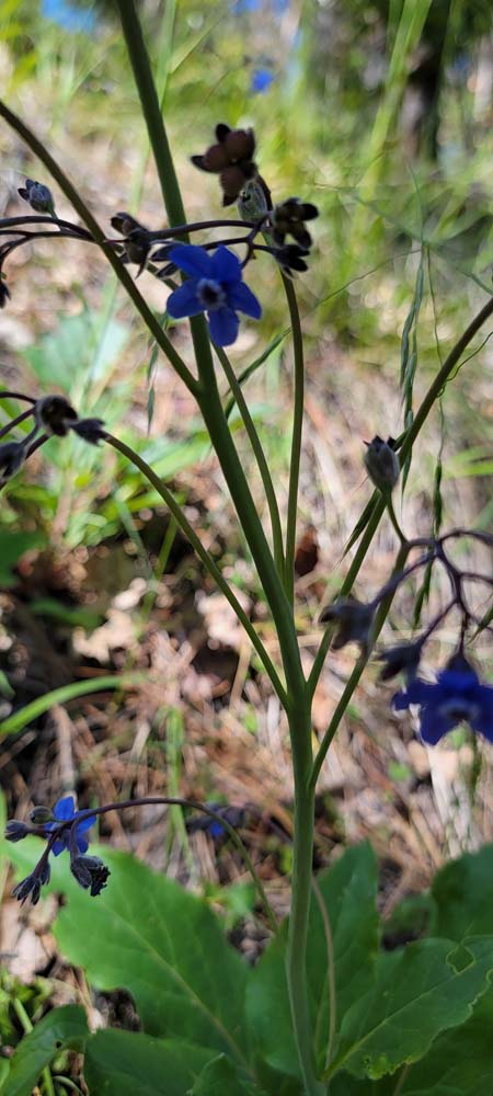
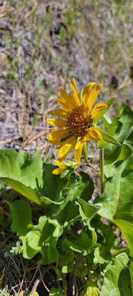
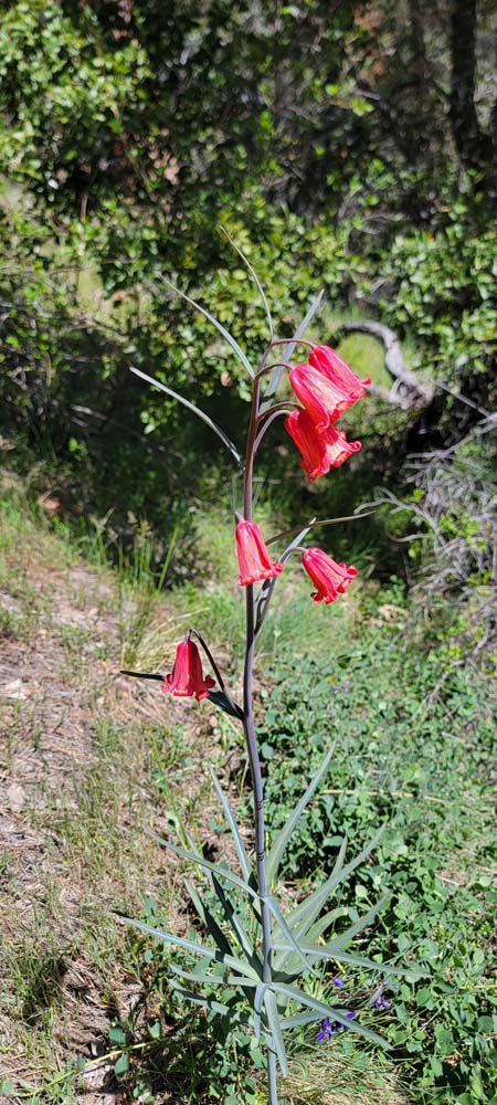
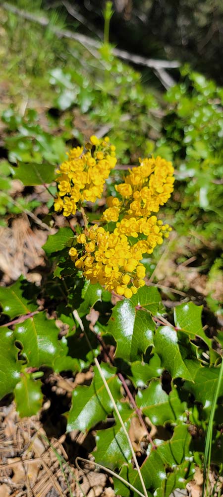
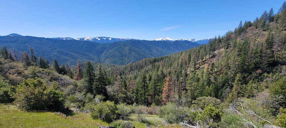
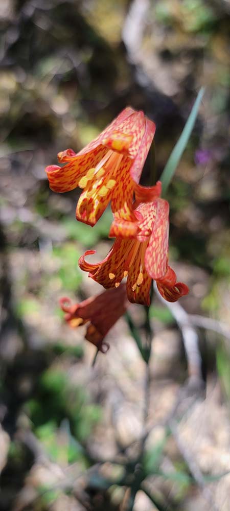
It was amazing to look out and see so much snow on the mountains in May. Since it was May Day, we were pleased to see so many wildflowers in bloom. There was also a lot of poison oak and ticks. I ended up having a tick embedded in my back and had to have a neighbor remove it for me.

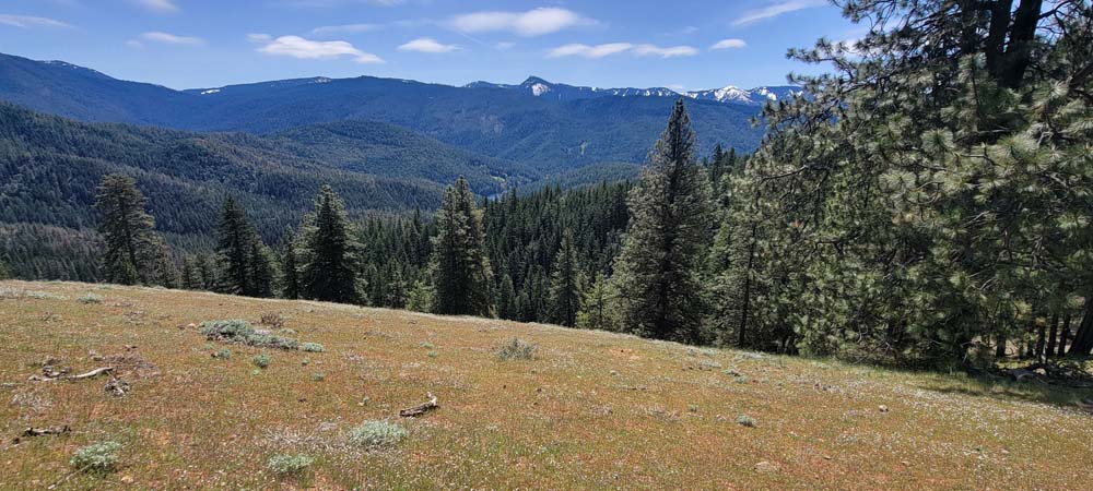
At four miles, we stopped along the ridge for our lunch. Since we had a late start, and because the person that our short lunch was named after came along on the hike, we had a Hank lunch. Hank had forgotten his lunch at home and some of us donated part of our lunch to make sure he was well fed. We also enjoyed an orange and 60% dark chocolate bar from the Endangered Species Chocolate company that was provided by Michael. This bar brings awareness to the plight of the Coral Reef.

We returned to our cars at around 3pm and had hiked 8 miles with 1585 feet of elevation gain.

Hike Leader: Francie

Photos By: Francie, Linda, Randy

Download GPX

Posted in Mountains & Summits, Squaw Peak, Wednesday

Post navigation

← Older posts
Newer posts →
↑