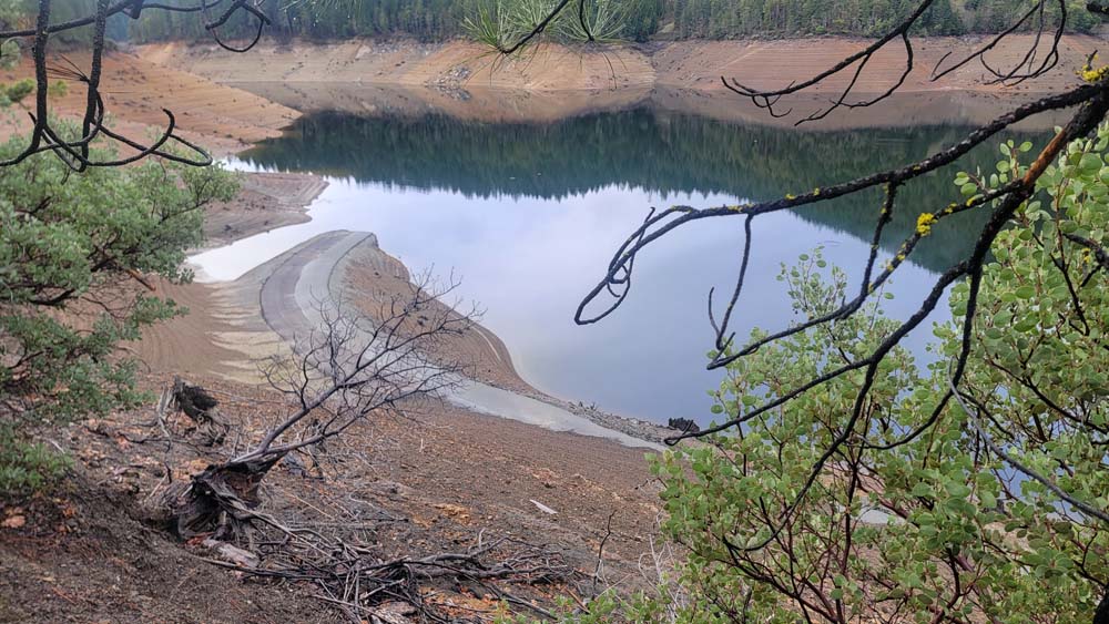
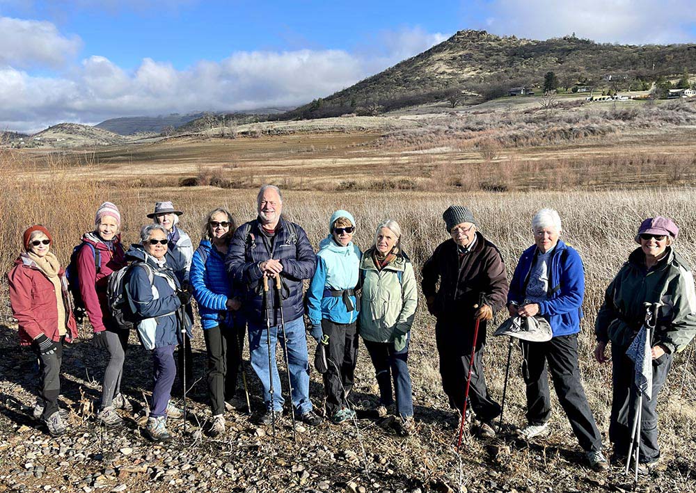
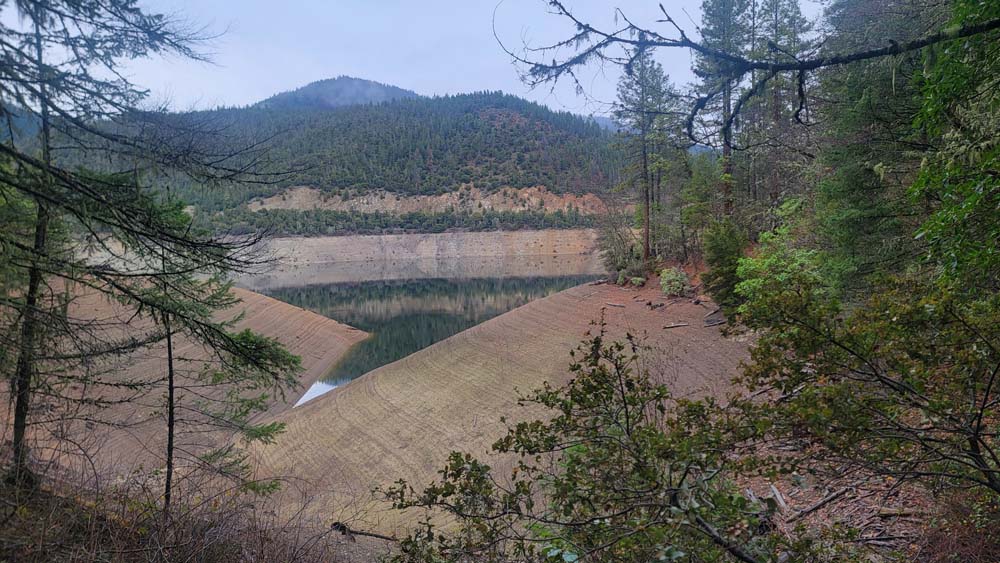
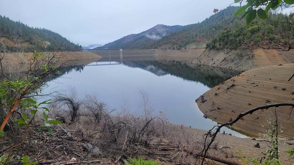
Eleven hikers (one brand new) participated in this mostly flat, nearby hike at the east end of Emigrant Lake. We celebrated that it turned out to be a clear sunny day (after earlier weather forecasts that called for rain all week). The trail was very muddy on the heels of weeks of rain, but we forged ahead ignoring the prospect of boot cleaning later.
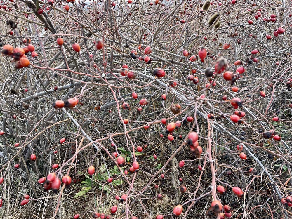
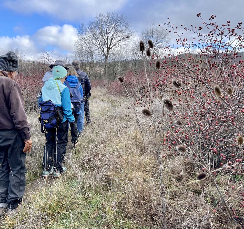
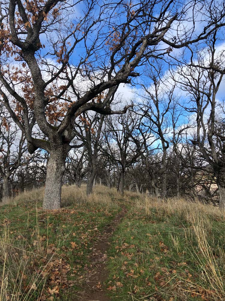
Vegetation was awash with rosehip bushes, presumed to be non-native and quite out of control. Silver lining: birds love them. A particularly peaceful segment of this hike is a rise up, across, and down a hill filled with oak trees just before a single switch back down and across beside Greensprings Highway. and across a meadow to the old Siskiyou Highway that once connected California and Oregon. At the roadbed, we followed a trail nearby Highway 66 to the knoll and proceeded up to the top.
To visit the quarry rocks below, we stumbled down slippery slopes to the lower trail bending back to the old Siskiyou Highway by way of a sandy trail through the cluster of large rocks. Doubling back to return up to the knoll, we discovered Elisabeth’s mistake in that we needn’t have slipped and slid down that hill, but rather followed the trail beyond to the parking lot and toilets to pick up a proper trail for an easy ascent back up to the knoll. This forms a lollypop.
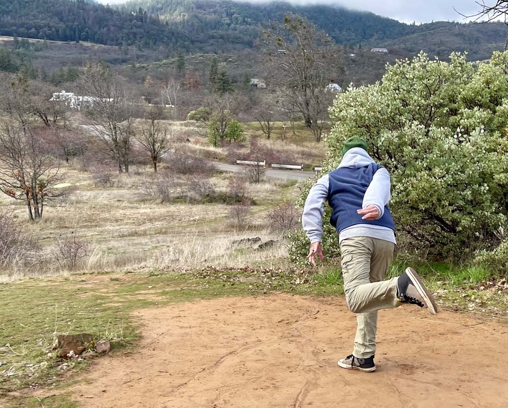
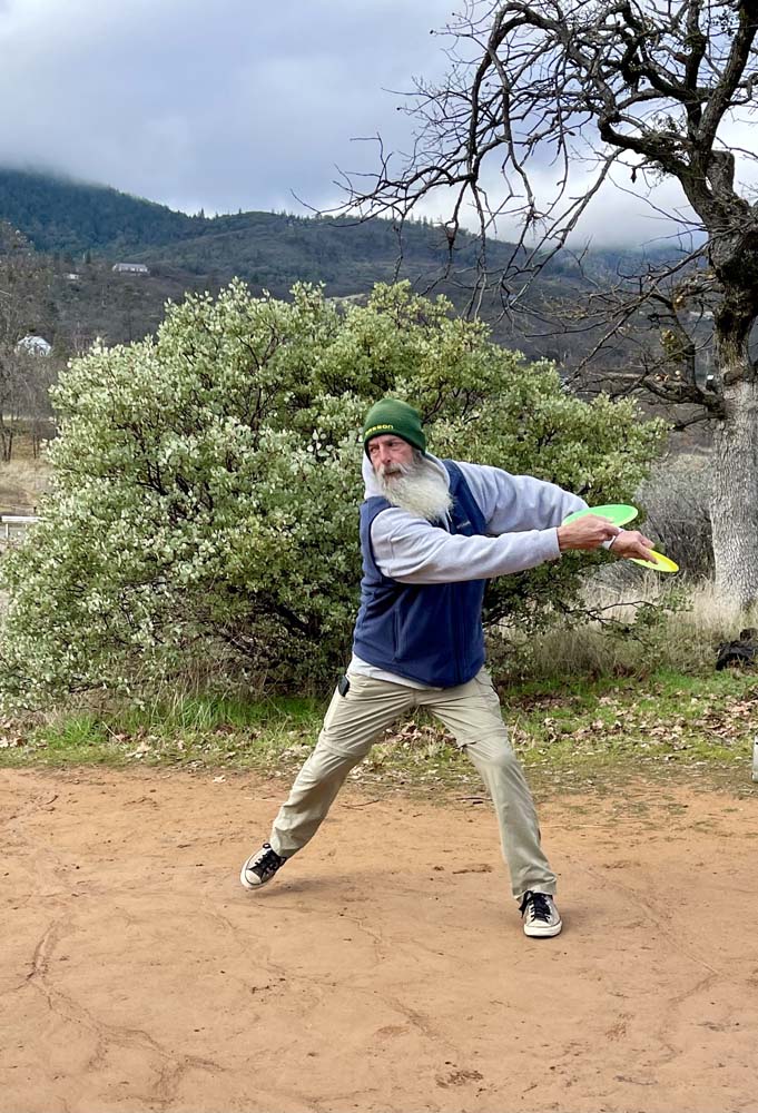
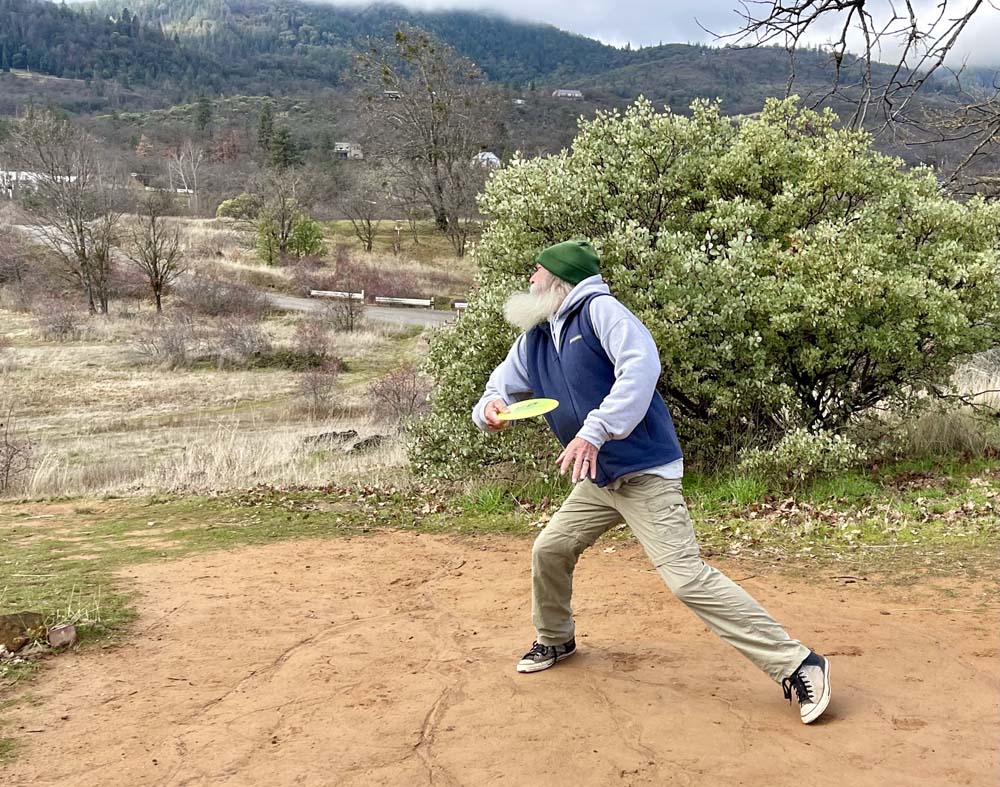
Once back on top, we assembled in a broad open area with a long bench to enjoy lunch or snacks. We had noted several of the disc golf baskets. Upon seeing the first one, a hiker asked if that was a trash basket. The only knowledge in the group was that it is part of a disc golf course. Our queries were addressed when a fellow come up the hill with a bag full of different types of discs for this game that grew out of the craze over Frisbee. The discs are designed differently and the game is played more or less like ball golf. The fellow started to throw discs into what we learned was a ‘warm up’ basket. Elisabeth asked him if he’d be willing to come over to our group and share a little about the game. He was delighted to do so, and we got more than a little about disc golf.
Carl is a leader in a disc golf club (“Disc Golf Bros”) in the Rogue Valley that has well over 1,000 members. They are encouraging more women to play. He’s been playing for decades. We learned about the game, the 3 main types (designs) of discs for different circumstances (much like golf cubs), this Emigrant Lake course, the dangers of getting in the way of a flying disc (it can break bones), and the efforts over the years to get approvals for adding more disc golf ‘parks’ in the Rogue Valley. Carl gave us permission to post his pictures on the AHG website, as we captured photos of him demonstrating how the disc is thrown (upon request of our hikers). He said strong young fellows can throw a disc 500’. At his age, he throws up to 300’. Hikers asked many questions, so the episode took longer than intended and it was getting cold. With reasonable diplomacy, we thanked him and took off for our return. Having a mini-class from Carl gave our morning hike a unique and welcome twist.
On our return, we noted some elaborate properties we’d not seen on the way out as they’d been to our backs. One had a lovely home and attractive structures for horses, including a riding rink.
The hike was 3.5 miles and an elevation gain of 200’.
Hike Date: 2024-01-05
Photos By: Kay