↓
 
Ashland Hiking Group 
 
  • About Us
  • Posted Hikes
    • Recent
    • Monday
    • Wednesday
    • Friday
    • Friday Flower
  • Hike Schedules
    • Monday
      • Current
      • Previous
    • Wednesday
      • Current
      • Previous
    • Friday
      • Current
      • Previous
    • Friday Flower
      • Current
      • Previous
  • Locations
    • Lakes
      • Applegate Lake
      • Azalea Lake
      • Castle Lake
      • Crater Lake
      • Duck Lakes
      • East Boulder Lake
      • Emigrant Lake
      • Fish Lake
      • Kangaroo Lake
      • Lost Creek Lake
      • Mountain Lakes
      • Puck Lakes
      • Seven Lakes
      • Sky Lakes
      • Smith Lake
      • Squaw Lakes
      • Taylor Lake
    • PCT
      • Brown Mountain
      • Castle Crags
      • Cement Bluff
      • Etna Summit
      • Greensprings Area
      • Gumboot Boulder
      • Hyatt/Greensprings Summit
      • Hyatt Reservoir
      • Mt Ashland Area
      • Pilot Rock Area
      • Porcupine Lake
      • Red Buttes
    • Rivers & Streams
      • Elk Creek
      • Frog Pond
      • Kelsey Creek
      • Lower Rogue
      • Mill Creek Falls
      • Sacramento River
      • Squaw Valley Creek
      • Upper Rogue
      • Taylor Creek
    • Snow Shoes
      • Buck Prairie
      • Crater Lake
      • Deadwood
      • Great Meadow
      • Grouse Gap
      • Hyatt Lake
      • Moon Prairie
      • Mt Ashland
      • Mt Shasta
      • Pederson
      • Pilot Rock
      • Summit Sno-Park
    • Mountains & Summits
      • A>L
        • Abbot Butte
        • Anderson Butte
        • Arch Rock
        • Baldy Peak
        • Big Red Mountain
        • Bolt Mountain
        • Castle Crags
        • Collings Mountain
        • Frank Hill Road
        • Grayback Mountain
        • Grizzly Peak
        • Kerby Peak
      • M>Z
        • Mount Ashland
        • Mount Bailey
        • Mount Eddy
        • Mount Elijah
        • Mount Shasta
        • Pompadour Bluff
        • Roxy Ann
        • Squaw Peak
        • Stein Butte
        • Stukel Mountain
        • Table Rocks
        • Union Peak
        • Wagner Butte
    • Woods
      • Ashland City
      • Ashland Watershed
      • Bear Creek Greenway
      • Cathedral Hills
      • Denman Wildlife Refuge
      • East Applegate Ridge
      • Enchanted Forest
      • Greenhorn Park
      • Greensprings Area
      • High Lakes Trail
      • Horseshoe Ranch
      • Jack Ash
      • Jacksonville
      • Layton Mine Ditch
      • Pacifica
      • Sterling Mine Ditch
      • Steves 40 Acres
    • Miscellaneous
  • Images
    • Resize @ 1000H ,1000V & med before uploading
  • Log In

Post navigation

← Older posts
Newer posts →

Mill Creek Scenic Area

Ashland Hiking Group Posted on May 6, 2024 by Randy BryanMay 9, 2024

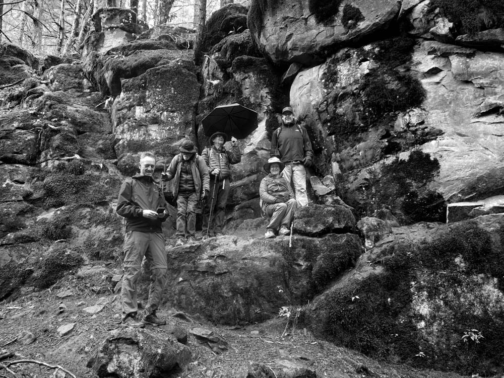
We challenged the forecast and headed off for another hiking adventure. The threatening forecast amounted to occasional spring showers followed by the sun breaking through the clouds. But the hiking adventure was a mind-blower to those new to this hike.

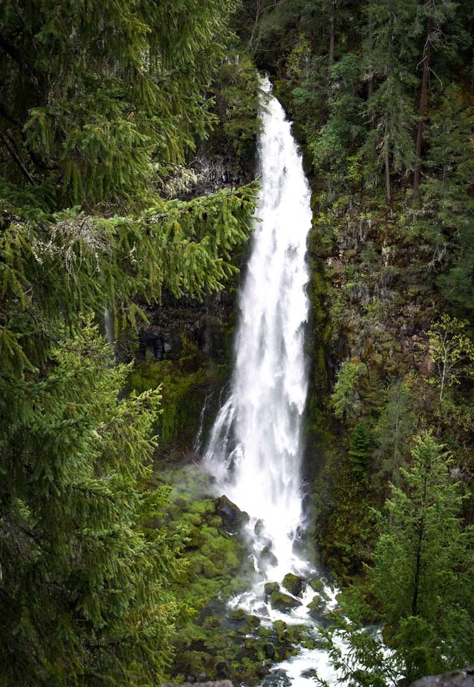
The Mill Creek Scenic Area is 42 miles up Highway 62 near the mountain community of Prospect. And visiting there this time of year offers breathtaking displays of nature at its best. As you descend into the forest you hear the roar of falls before you see them taking their dramatic plunges; 173 feet for Mill Creek Falls and 242 feet for Barr Creek Falls, into the Upper Rogue River. The falls are viewed from high points across the river from the falls.

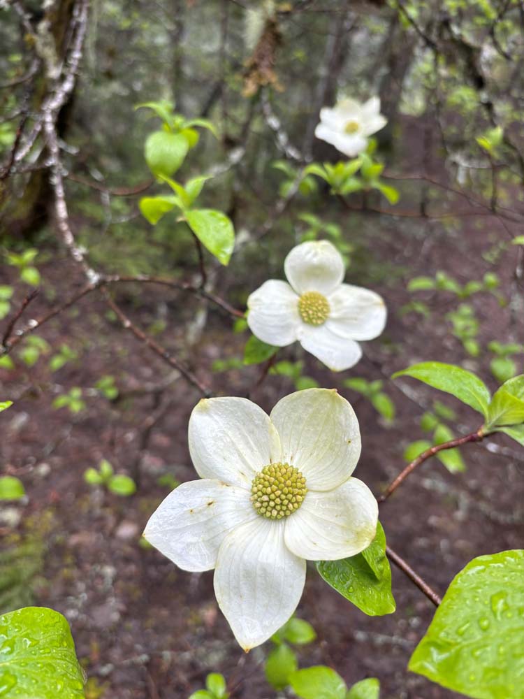
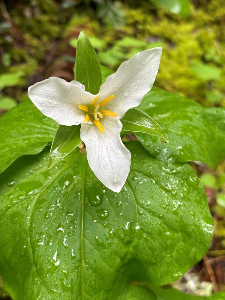
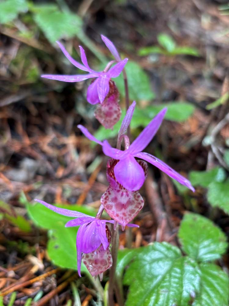
After everyone got their photo ops we headed back through the woods to our next remarkable views. Along the way, we saw blooming white Dogwoods, purple Calypso Orchids, and white Trillium.

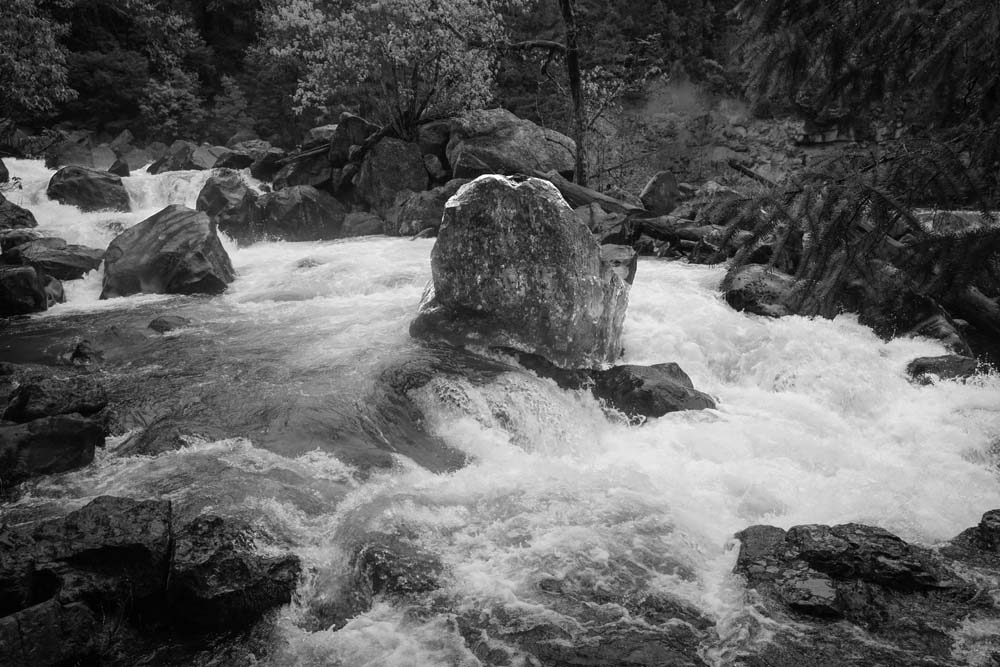
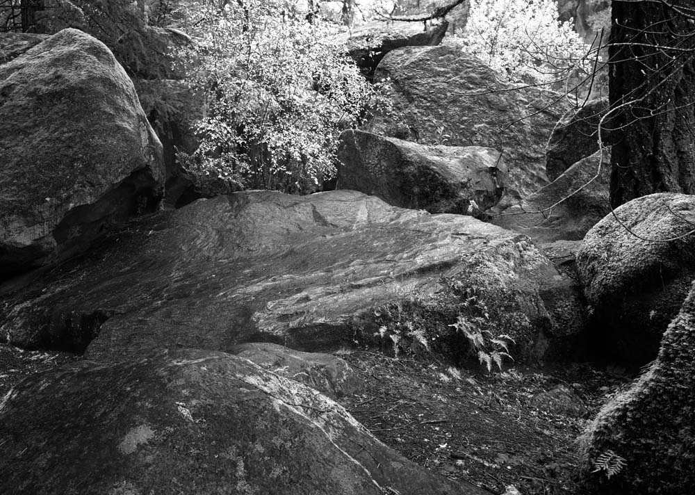
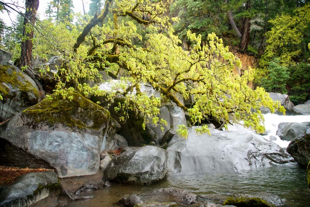
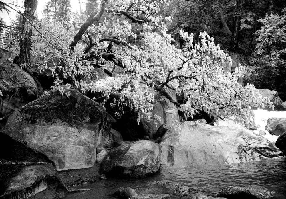
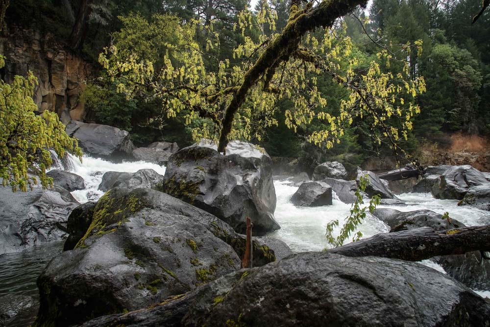
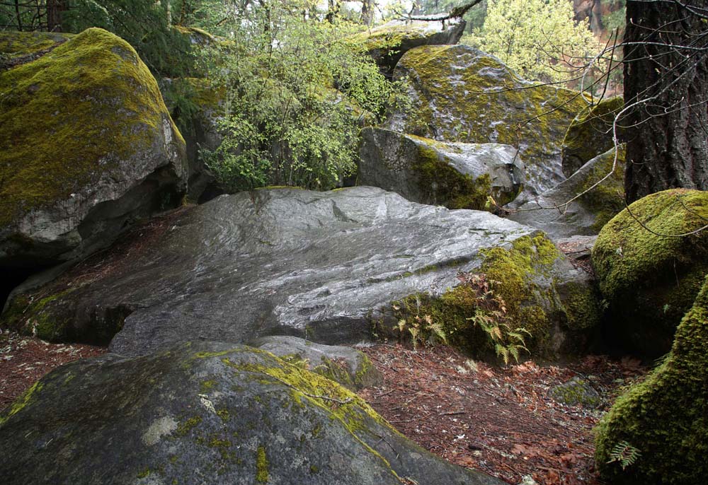
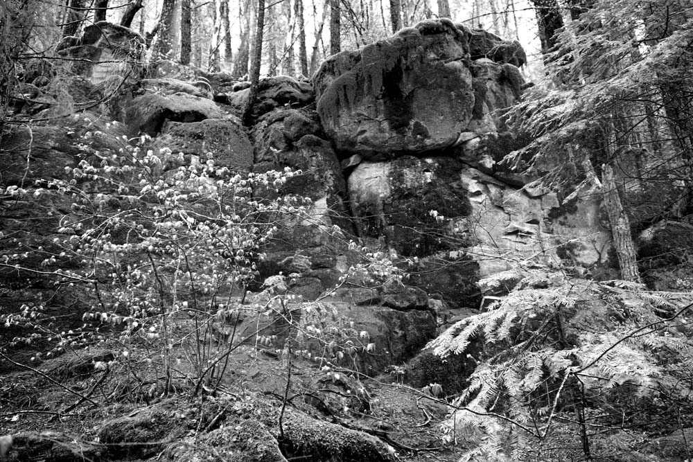
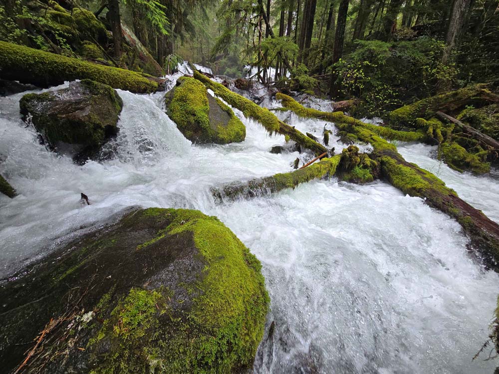
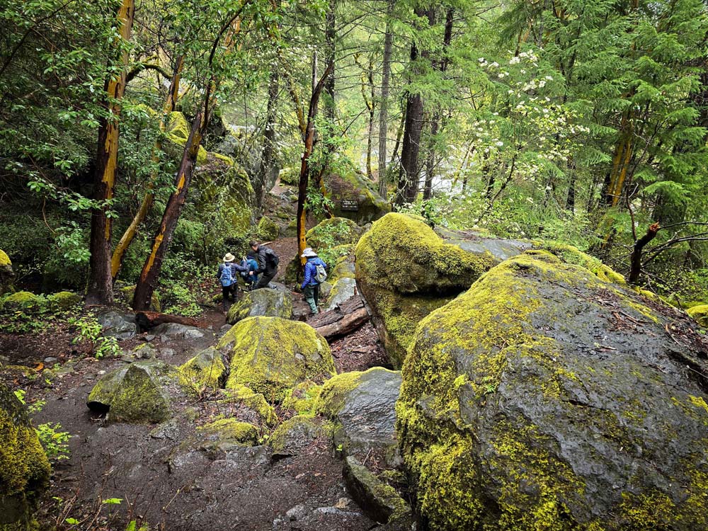
Next was the Avenue of Giant Boulders squeezing the rushing Rogue into white water rapids. Some climbed up on boulders for a better look at the descending river. More view spots were found downriver, where massive trees were wedged in the rocks like toothpicks.

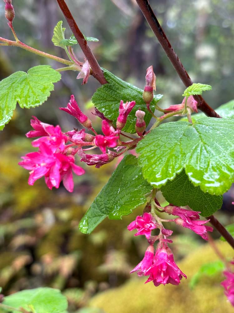
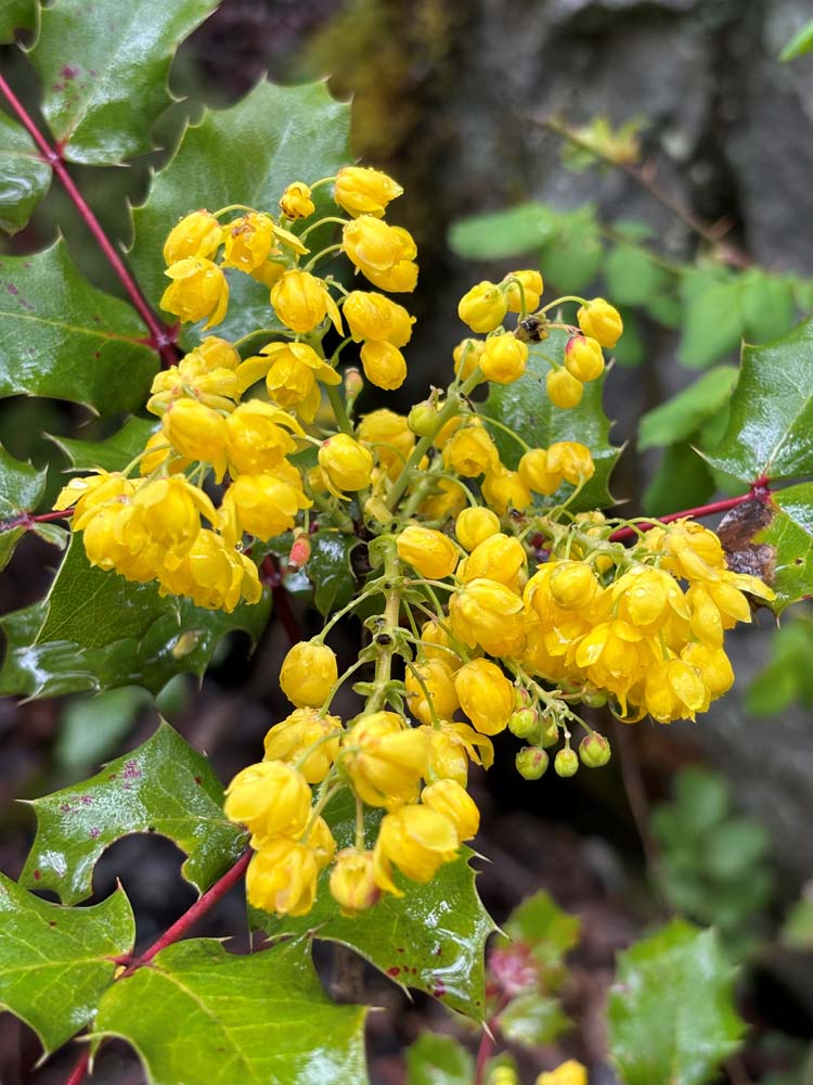
Red Currant flowering shrubs overlooked the rushing river.

The site of the old electric power plant from 1911 was found positioned next to the rapids.

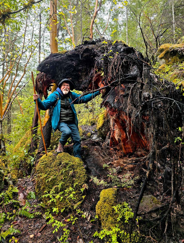
Those new to this hike were as excited as 10-year-olds to see the natural wonders in this place for the first time.

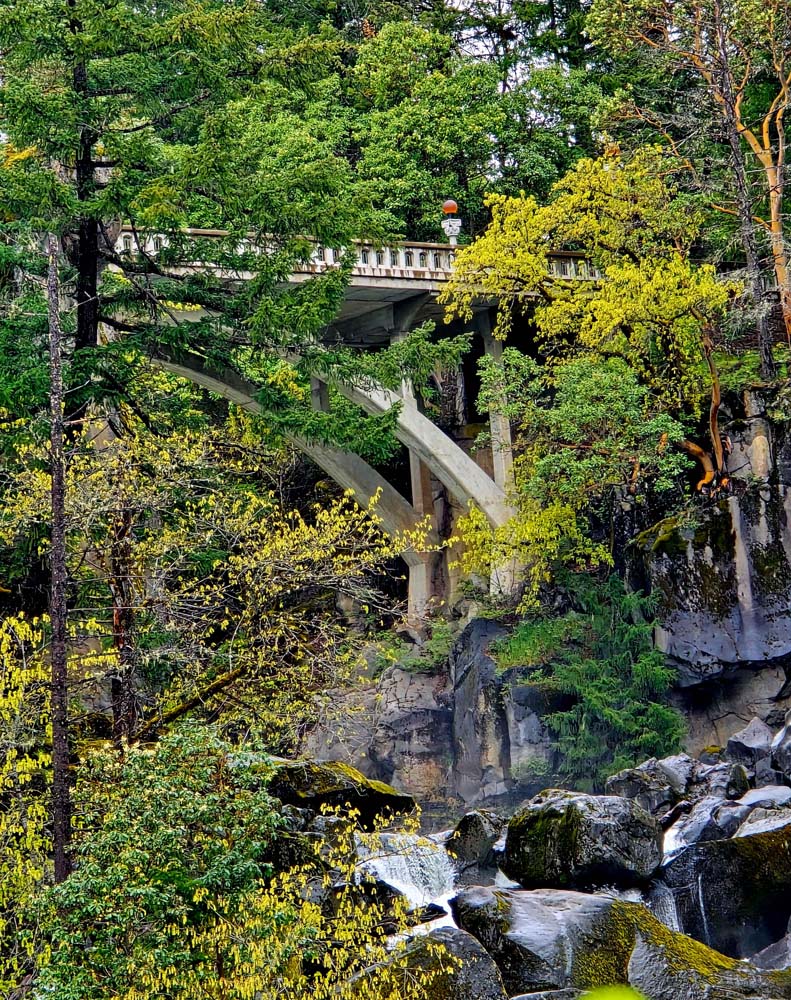
The Boulders finished part one of the hiking adventure and we headed back to our cars to drive across the white bridge to the next parking lot for a walk down to part two, Pearsony Falls.

Pearsony Falls is also on Mill Creek up the creek from Mill Creek Falls. Again the silence of the forest is broken by the sound of rushing water.

Heading down the trail, we come to the unique split falls called Pearsony. An island on the creek splits the falls as it cascades over the rocks. A mist spews off Pearsony as it falls. You can climb down to the water level for the best photos.

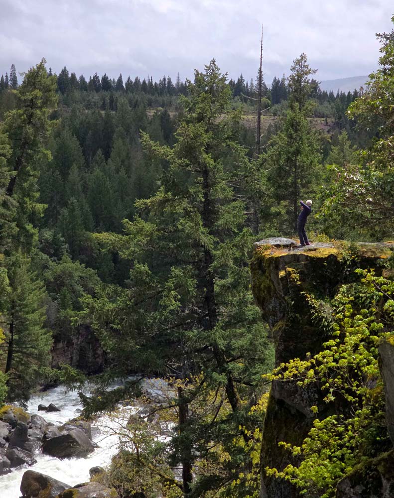
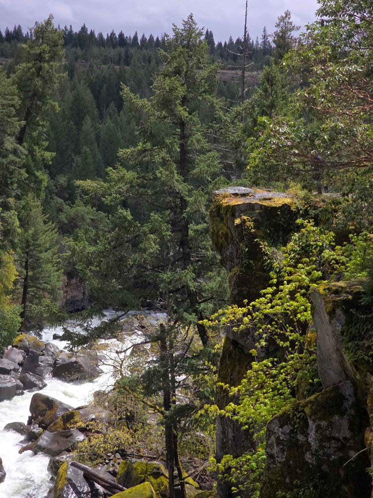
We still had one more sight to see before lunch. Continuing down the creek trail, we came to dramatic views from the top of the canyon wall at the plummeting Rogue below us. You could see the rushing rapids snaking through the countless boulders!

We found rocks to sit on for lunch and recounted the day’s adventures while viewing the power of the Upper Rogue.

Hike Leader: Rich Stickle

Photos By: Patricia, Steve

Posted in Mill Creek Falls, Monday, Rivers & Streams

Post navigation

← Older posts
Newer posts →
↑