↓
 
Ashland Hiking Group 
 
  • About Us
  • Posted Hikes
    • Recent
    • Monday
    • Wednesday
    • Friday
    • Friday Flower
  • Hike Schedules
    • Monday
      • Current
      • Previous
    • Wednesday
      • Current
      • Previous
    • Friday
      • Current
      • Previous
    • Friday Flower
      • Current
      • Previous
  • Locations
    • Lakes
      • Applegate Lake
      • Azalea Lake
      • Castle Lake
      • Crater Lake
      • Duck Lakes
      • East Boulder Lake
      • Emigrant Lake
      • Fish Lake
      • Kangaroo Lake
      • Lost Creek Lake
      • Mountain Lakes
      • Puck Lakes
      • Seven Lakes
      • Sky Lakes
      • Smith Lake
      • Squaw Lakes
      • Taylor Lake
    • PCT
      • Brown Mountain
      • Castle Crags
      • Cement Bluff
      • Etna Summit
      • Greensprings Area
      • Gumboot Boulder
      • Hyatt/Greensprings Summit
      • Hyatt Reservoir
      • Mt Ashland Area
      • Pilot Rock Area
      • Porcupine Lake
      • Red Buttes
    • Rivers & Streams
      • Elk Creek
      • Frog Pond
      • Kelsey Creek
      • Lower Rogue
      • Mill Creek Falls
      • Sacramento River
      • Squaw Valley Creek
      • Upper Rogue
      • Taylor Creek
    • Snow Shoes
      • Buck Prairie
      • Crater Lake
      • Deadwood
      • Great Meadow
      • Grouse Gap
      • Hyatt Lake
      • Moon Prairie
      • Mt Ashland
      • Mt Shasta
      • Pederson
      • Pilot Rock
      • Summit Sno-Park
    • Mountains & Summits
      • A>L
        • Abbot Butte
        • Anderson Butte
        • Arch Rock
        • Baldy Peak
        • Big Red Mountain
        • Bolt Mountain
        • Castle Crags
        • Collings Mountain
        • Frank Hill Road
        • Grayback Mountain
        • Grizzly Peak
        • Kerby Peak
      • M>Z
        • Mount Ashland
        • Mount Bailey
        • Mount Eddy
        • Mount Elijah
        • Mount Shasta
        • Pompadour Bluff
        • Roxy Ann
        • Squaw Peak
        • Stein Butte
        • Stukel Mountain
        • Table Rocks
        • Union Peak
        • Wagner Butte
    • Woods
      • Ashland City
      • Ashland Watershed
      • Bear Creek Greenway
      • Cathedral Hills
      • Denman Wildlife Refuge
      • East Applegate Ridge
      • Enchanted Forest
      • Greenhorn Park
      • Greensprings Area
      • High Lakes Trail
      • Horseshoe Ranch
      • Jack Ash
      • Jacksonville
      • Layton Mine Ditch
      • Pacifica
      • Sterling Mine Ditch
      • Steves 40 Acres
    • Miscellaneous
  • Images
    • Resize @ 1000H ,1000V & med before uploading
  • Log In

Post navigation

← Older posts
Newer posts →

Ashland Watershed Walk

Ashland Hiking Group Posted on January 24, 2024 by Randy BryanApril 23, 2024

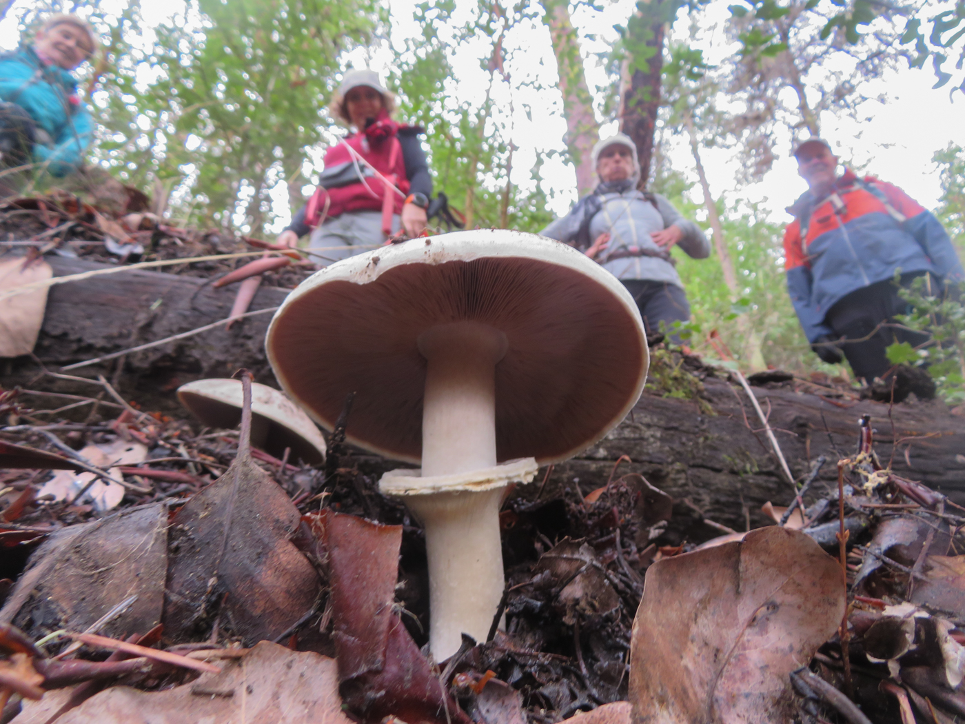
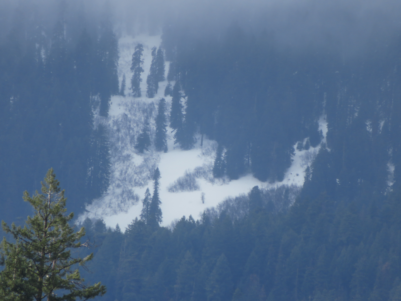
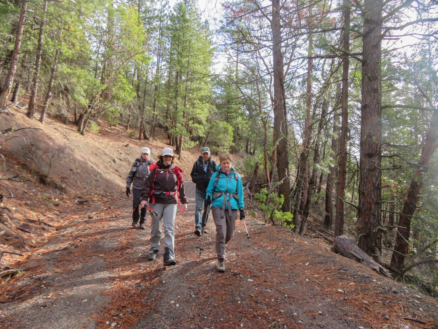
We met in the parking lot of Rite Aid and decided that the forecast for high winds would not make snowshoeing a safe thing to do. Seven hikers carpooled up Toleman Creek Road to start our hike at the upper Toothpick Trailhead.

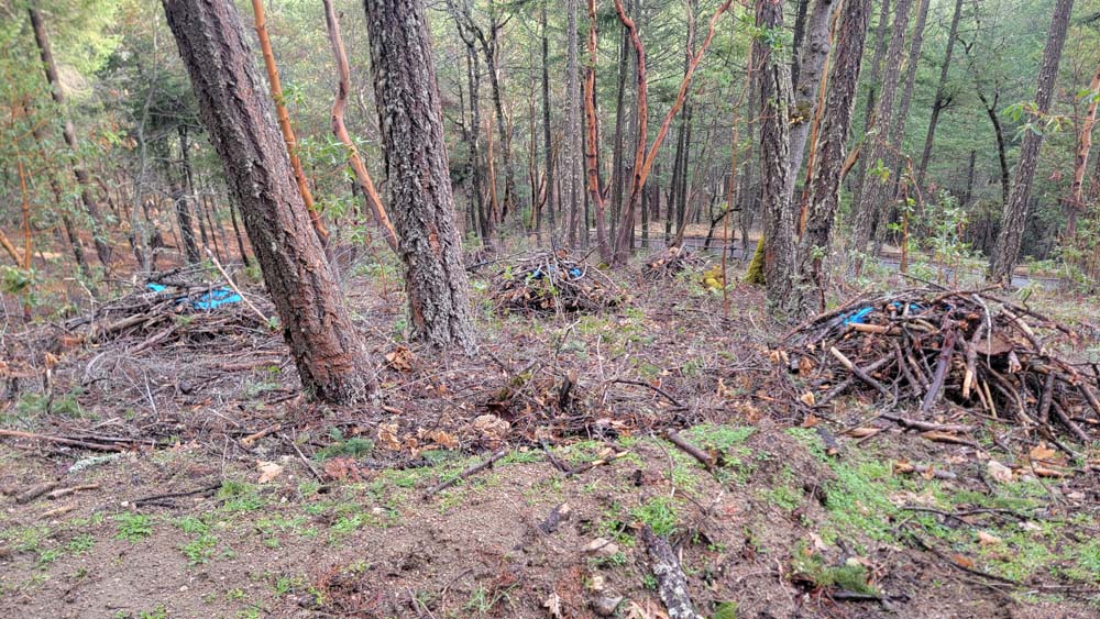
We could see where there has been a lot of debris clean up. There were many piles with some blue tarp covering part of the piles.

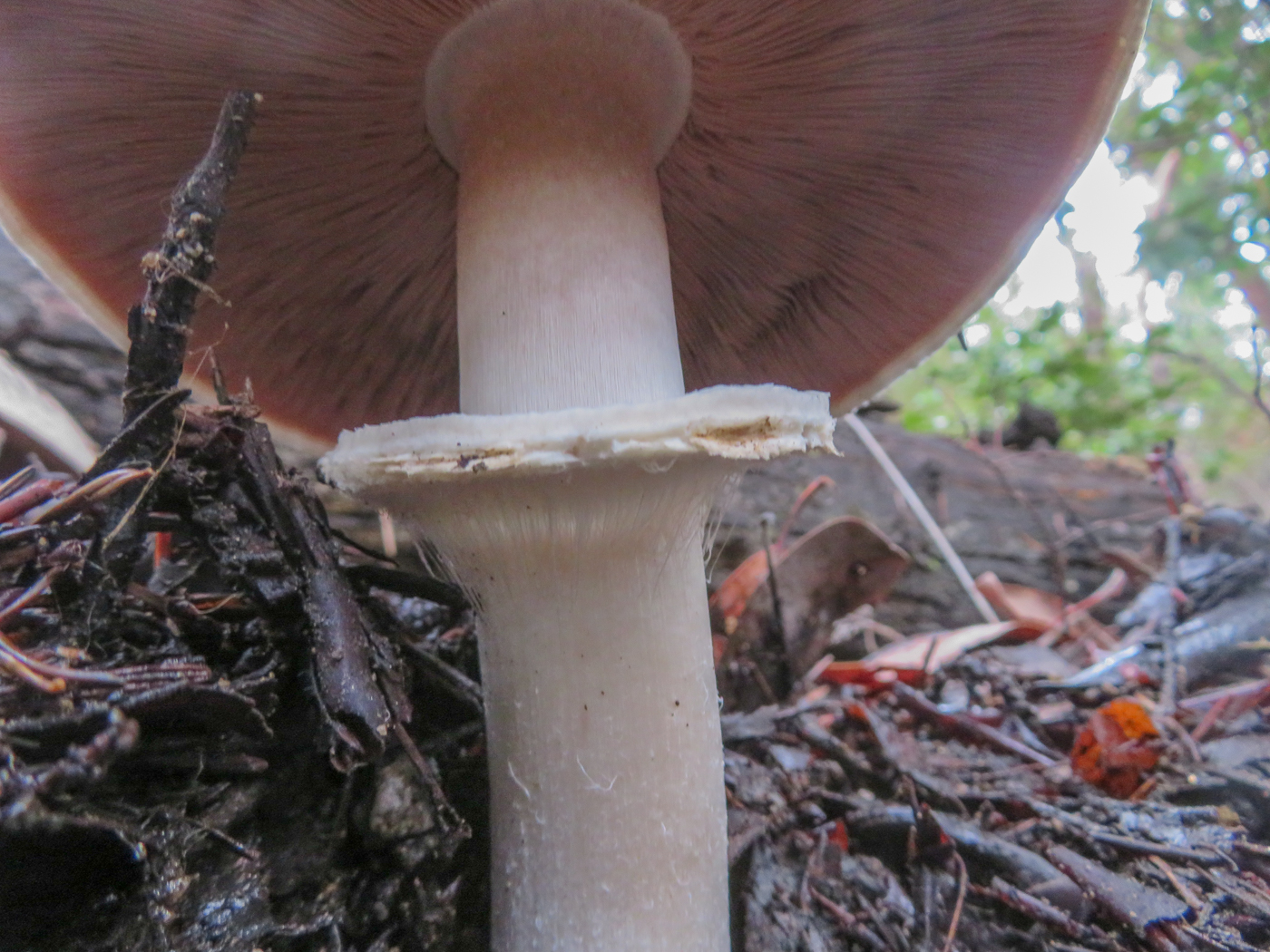
The trail starts uphill and keeps going. We had to stop for a wardrobe adjustment early on. We came across some very large tree branches that had recently broken off and landed upright on the trail. We were careful as we passed underneath them.

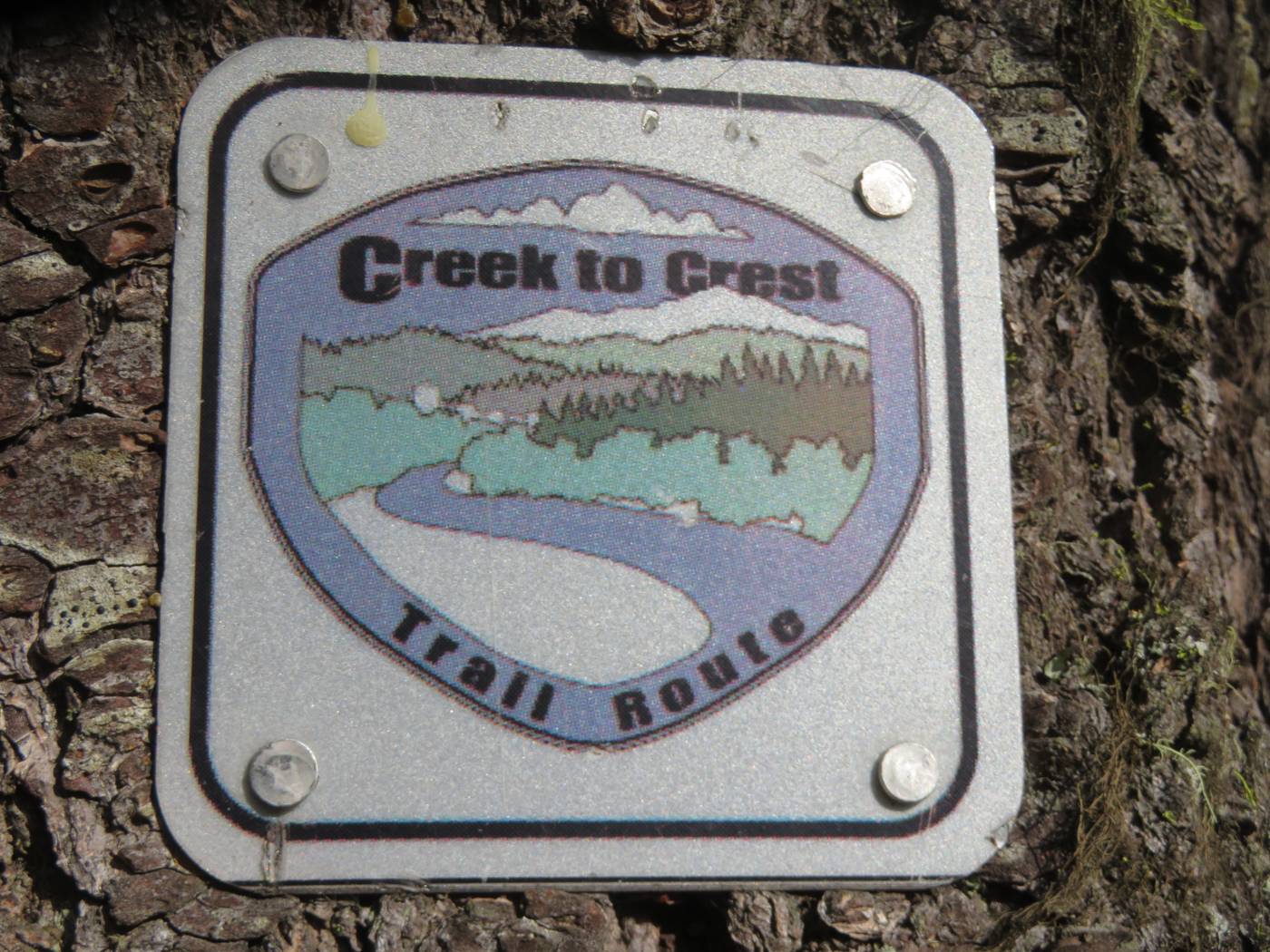
From Toothpick, we then headed up the Catwalk trail. We were protected from the wind, but it started to rain so we stopped for another wardrobe adjustment and put on raincoats. This almost guarantees for the rain to only last a short time.

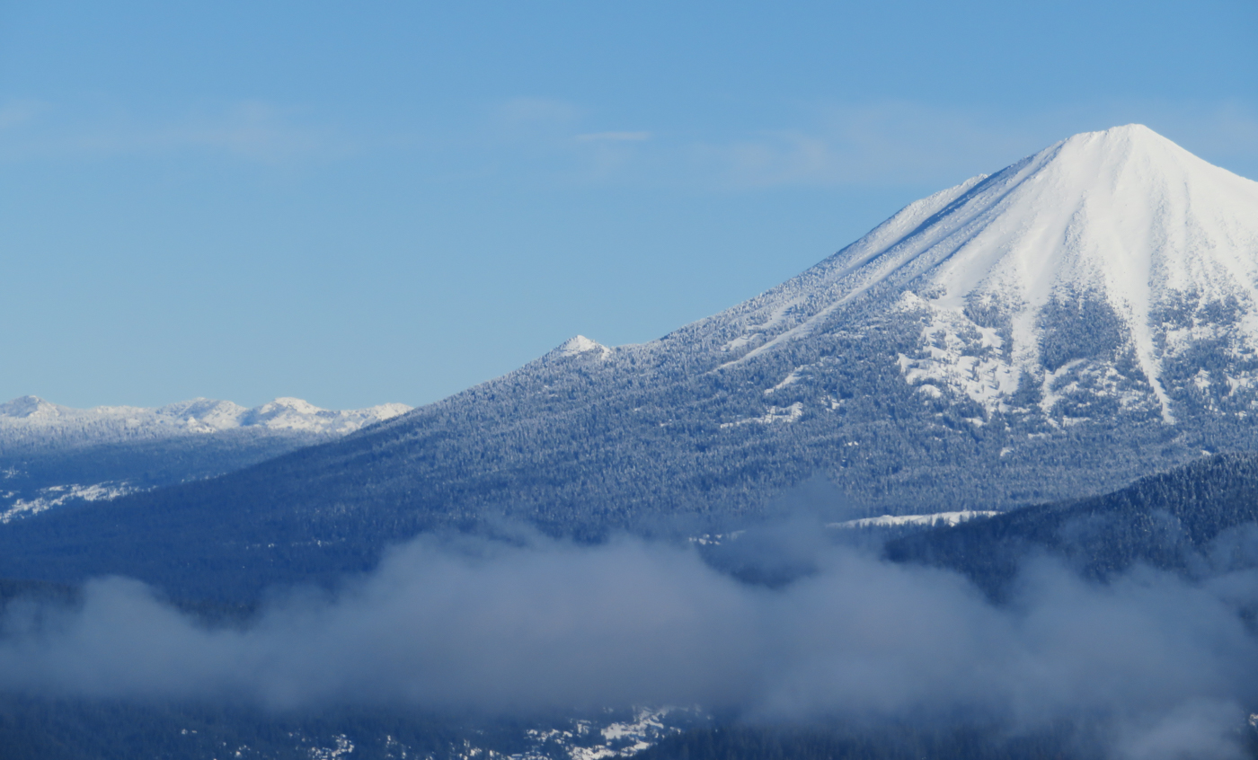
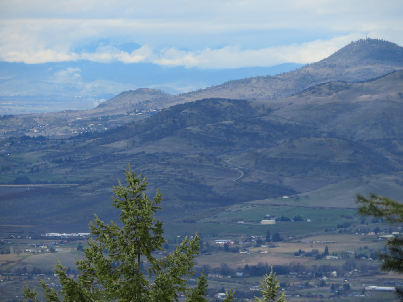
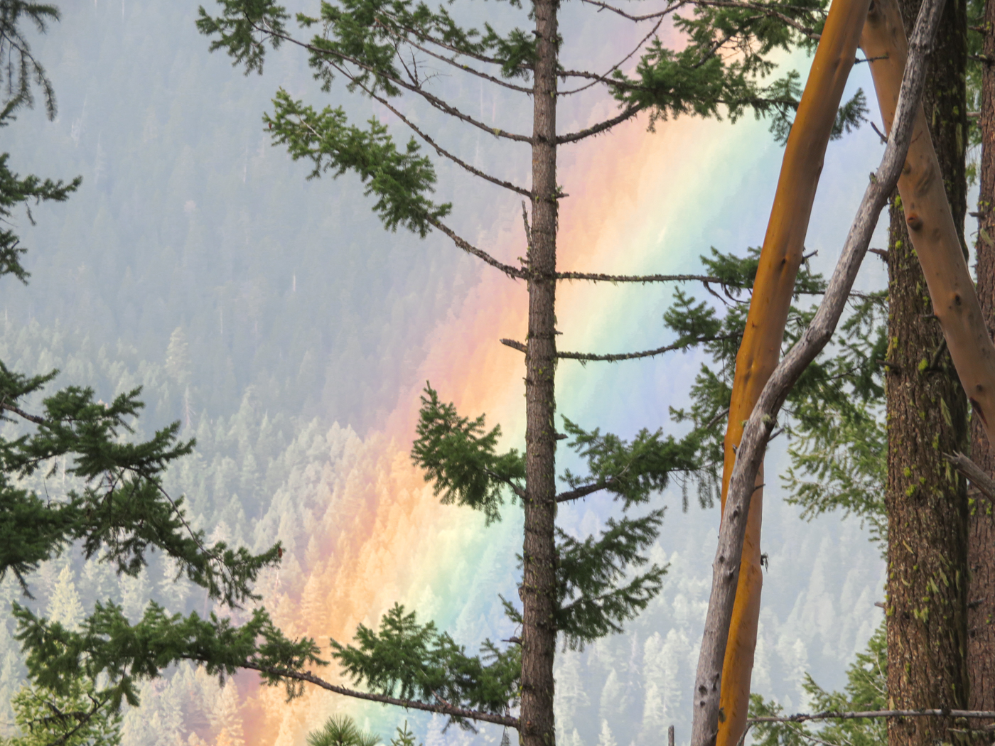
After climbing up near the Coggins Saddle, we headed down the Ashland Loop Road. Along the way, we could see a vivid rainbow. It was the 2nd one of the day so many stopped to take pictures. We continued down the road until we got to Lamb Saddle and headed up Lewis Loops Gyre and Gimble. When we reached the top, Bob found a nice log for us to sit on for lunch. I passed out Ghirardelli chocolate that was provided by Michael even though he was not on the hike.

We headed back down the Lewis Loops and connected to the Toothpick Trail and back to our cars. 

Francie  

Hike Date: 2024-01-24

Posted in Ashland Watershed, Wednesday, Woods

Post navigation

← Older posts
Newer posts →
↑