↓
 
Ashland Hiking Group 
 
  • About Us
  • Posted Hikes
    • Recent
    • Monday
    • Wednesday
    • Friday
    • Friday Flower
  • Hike Schedules
    • Monday
      • Current
      • Previous
    • Wednesday
      • Current
      • Previous
    • Friday
      • Current
      • Previous
    • Friday Flower
      • Current
      • Previous
  • Locations
    • Lakes
      • Applegate Lake
      • Azalea Lake
      • Castle Lake
      • Crater Lake
      • Duck Lakes
      • East Boulder Lake
      • Emigrant Lake
      • Fish Lake
      • Kangaroo Lake
      • Lost Creek Lake
      • Mountain Lakes
      • Puck Lakes
      • Seven Lakes
      • Sky Lakes
      • Smith Lake
      • Squaw Lakes
      • Taylor Lake
    • PCT
      • Brown Mountain
      • Castle Crags
      • Cement Bluff
      • Etna Summit
      • Greensprings Area
      • Gumboot Boulder
      • Hyatt/Greensprings Summit
      • Hyatt Reservoir
      • Mt Ashland Area
      • Pilot Rock Area
      • Porcupine Lake
      • Red Buttes
    • Rivers & Streams
      • Elk Creek
      • Frog Pond
      • Kelsey Creek
      • Lower Rogue
      • Mill Creek Falls
      • Sacramento River
      • Squaw Valley Creek
      • Upper Rogue
      • Taylor Creek
    • Snow Shoes
      • Buck Prairie
      • Crater Lake
      • Deadwood
      • Great Meadow
      • Grouse Gap
      • Hyatt Lake
      • Moon Prairie
      • Mt Ashland
      • Mt Shasta
      • Pederson
      • Pilot Rock
      • Summit Sno-Park
    • Mountains & Summits
      • A>L
        • Abbot Butte
        • Anderson Butte
        • Arch Rock
        • Baldy Peak
        • Big Red Mountain
        • Bolt Mountain
        • Castle Crags
        • Collings Mountain
        • Frank Hill Road
        • Grayback Mountain
        • Grizzly Peak
        • Kerby Peak
      • M>Z
        • Mount Ashland
        • Mount Bailey
        • Mount Eddy
        • Mount Elijah
        • Mount Shasta
        • Pompadour Bluff
        • Roxy Ann
        • Squaw Peak
        • Stein Butte
        • Stukel Mountain
        • Table Rocks
        • Union Peak
        • Wagner Butte
    • Woods
      • Ashland City
      • Ashland Watershed
      • Bear Creek Greenway
      • Cathedral Hills
      • Denman Wildlife Refuge
      • East Applegate Ridge
      • Enchanted Forest
      • Greenhorn Park
      • Greensprings Area
      • High Lakes Trail
      • Horseshoe Ranch
      • Jack Ash
      • Jacksonville
      • Layton Mine Ditch
      • Pacifica
      • Sterling Mine Ditch
      • Steves 40 Acres
    • Miscellaneous
  • Images
    • Resize @ 1000H ,1000V & med before uploading
  • Log In

Post navigation

← Older posts
Newer posts →

Sterling Mine Ditch and Grubb Gulch Trails

Ashland Hiking Group Posted on January 29, 2024 by Randy BryanApril 23, 2024

Post Content

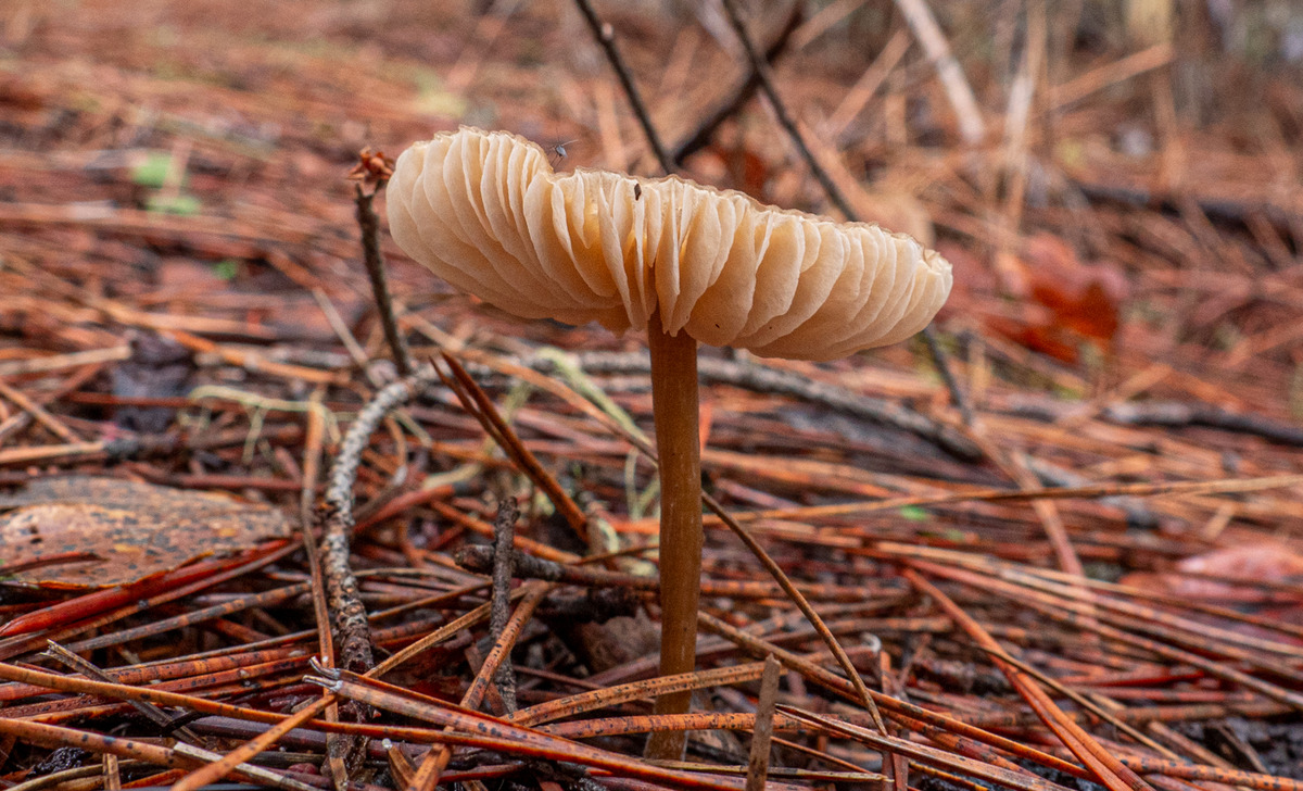
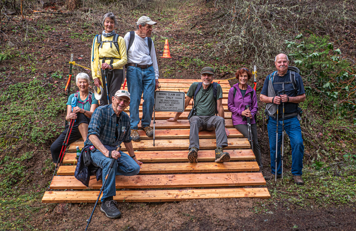
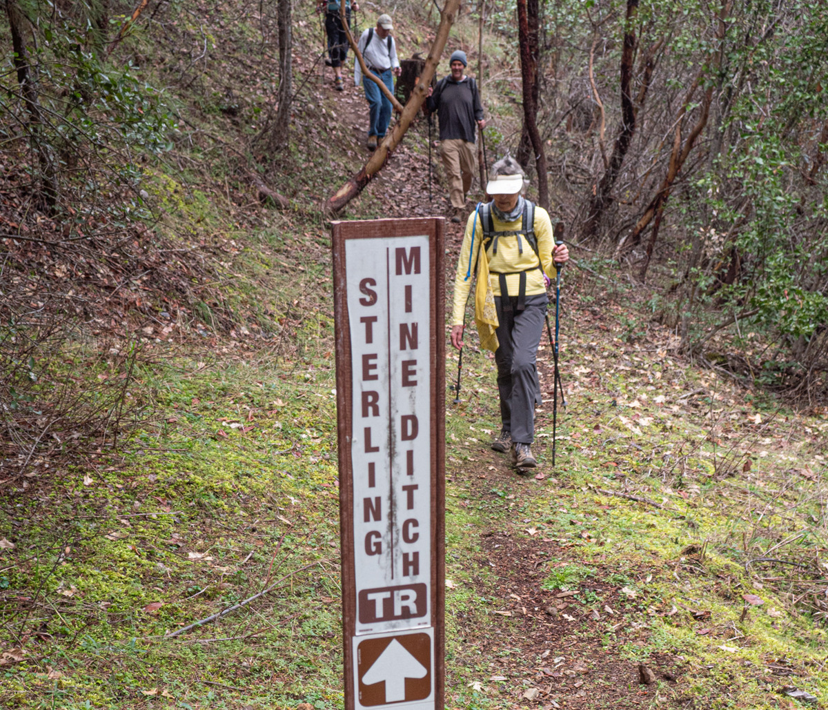
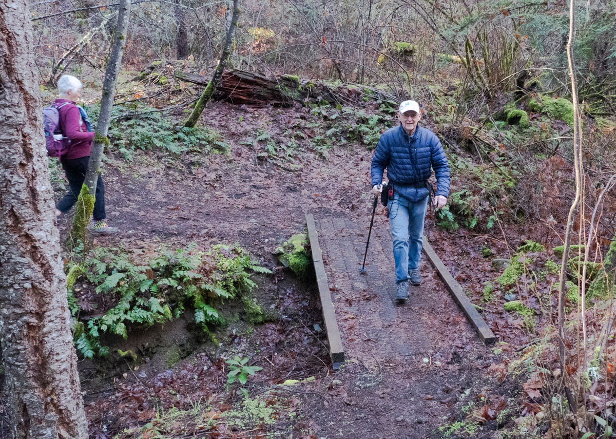
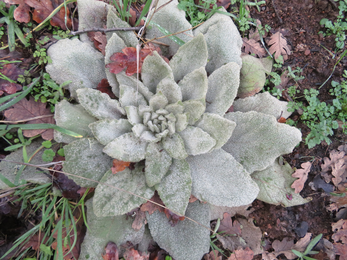
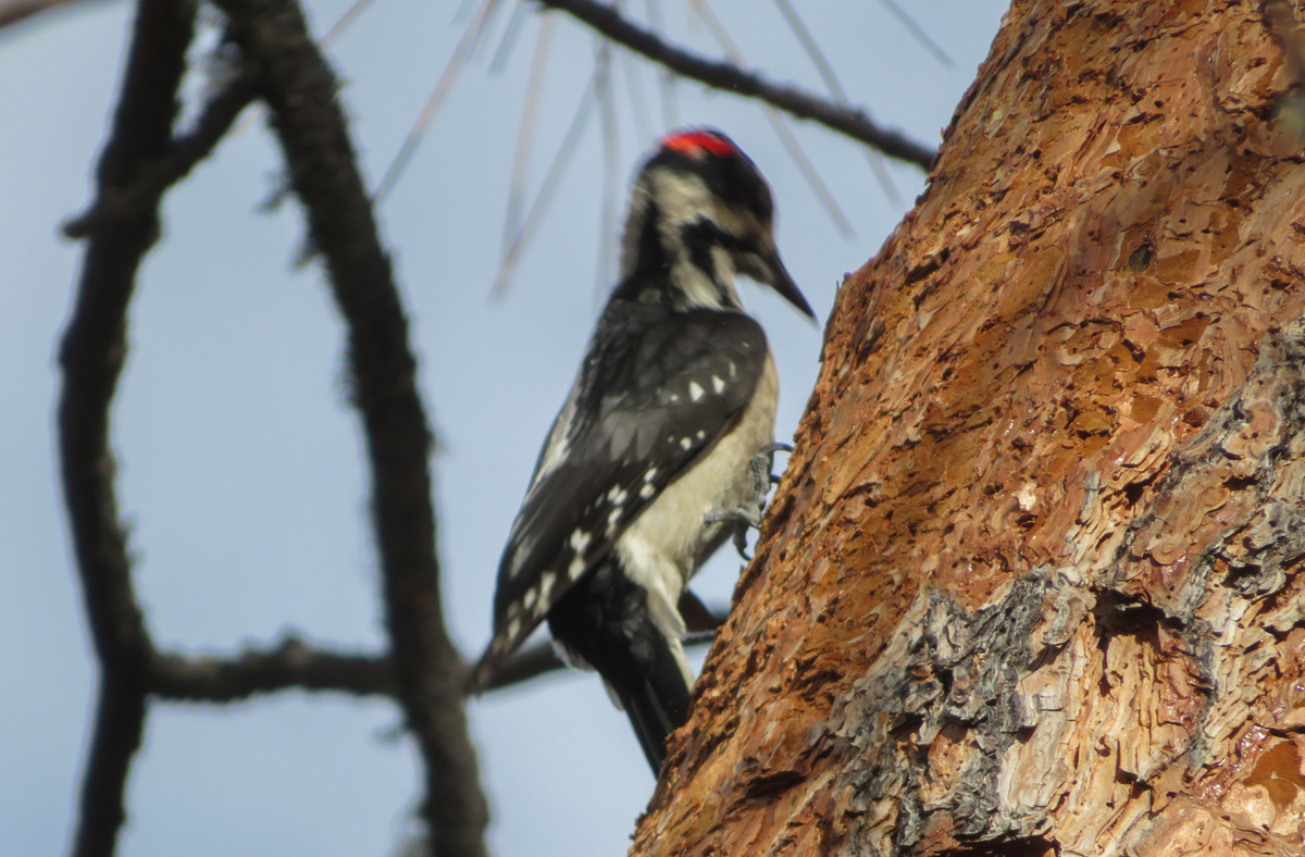
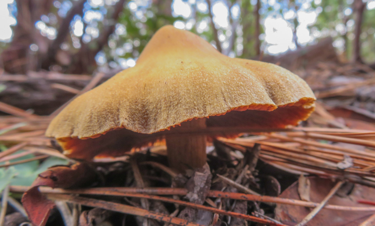
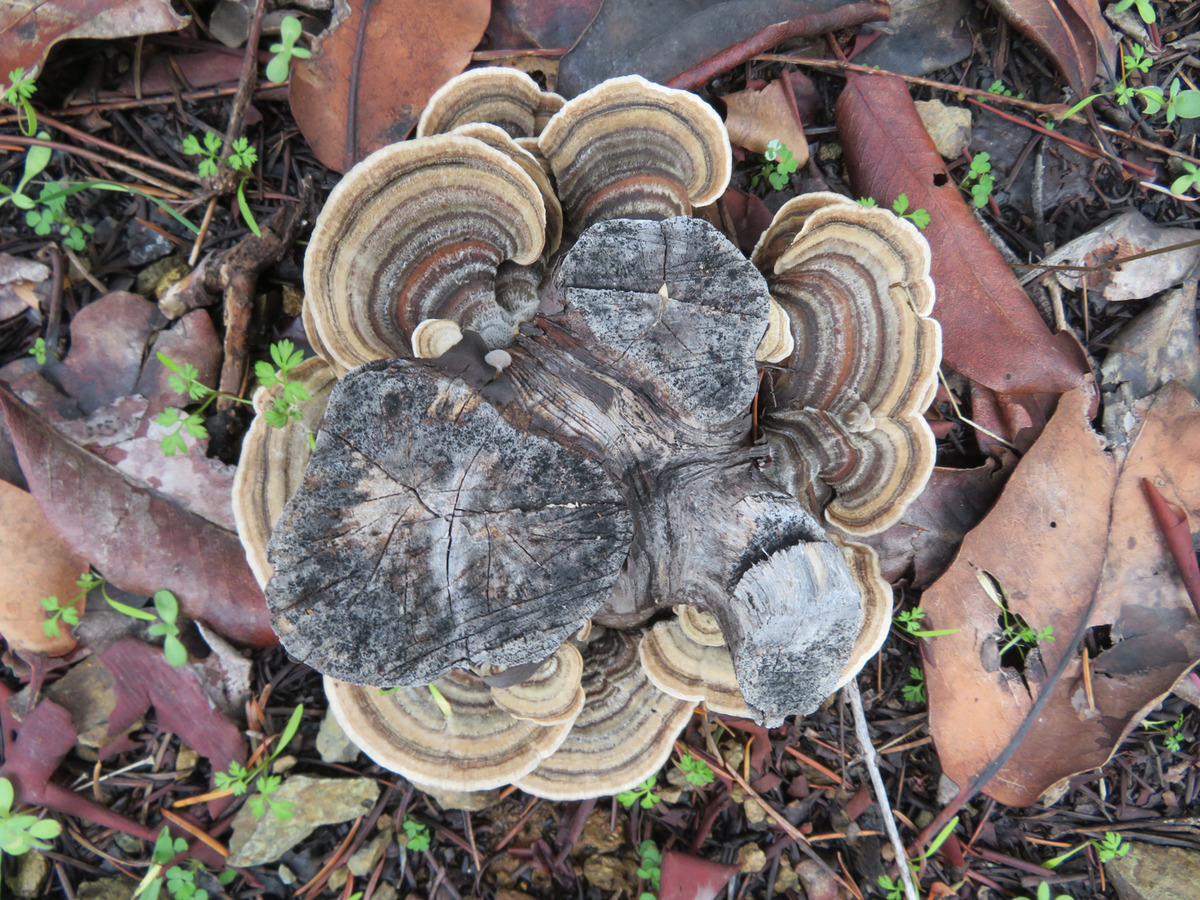
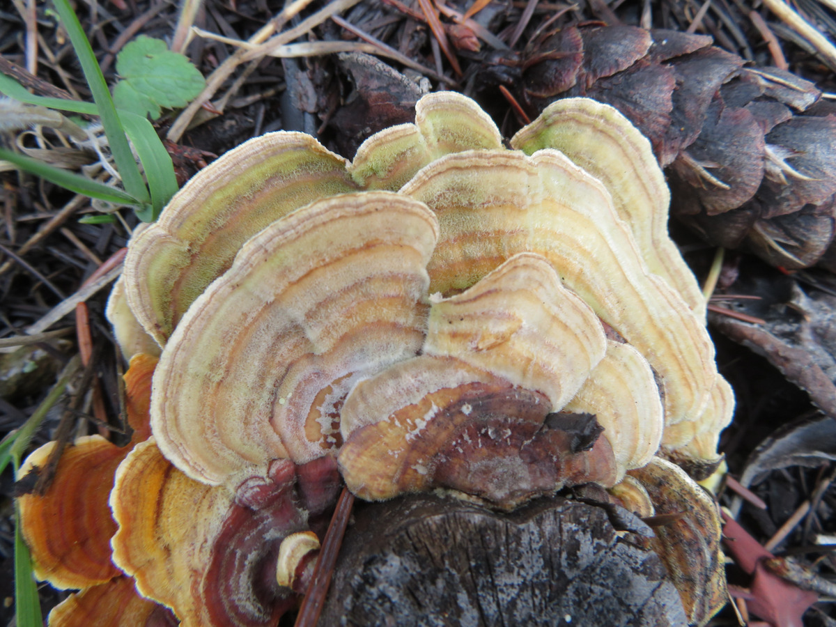
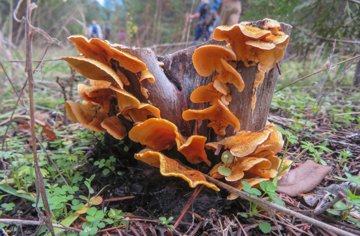
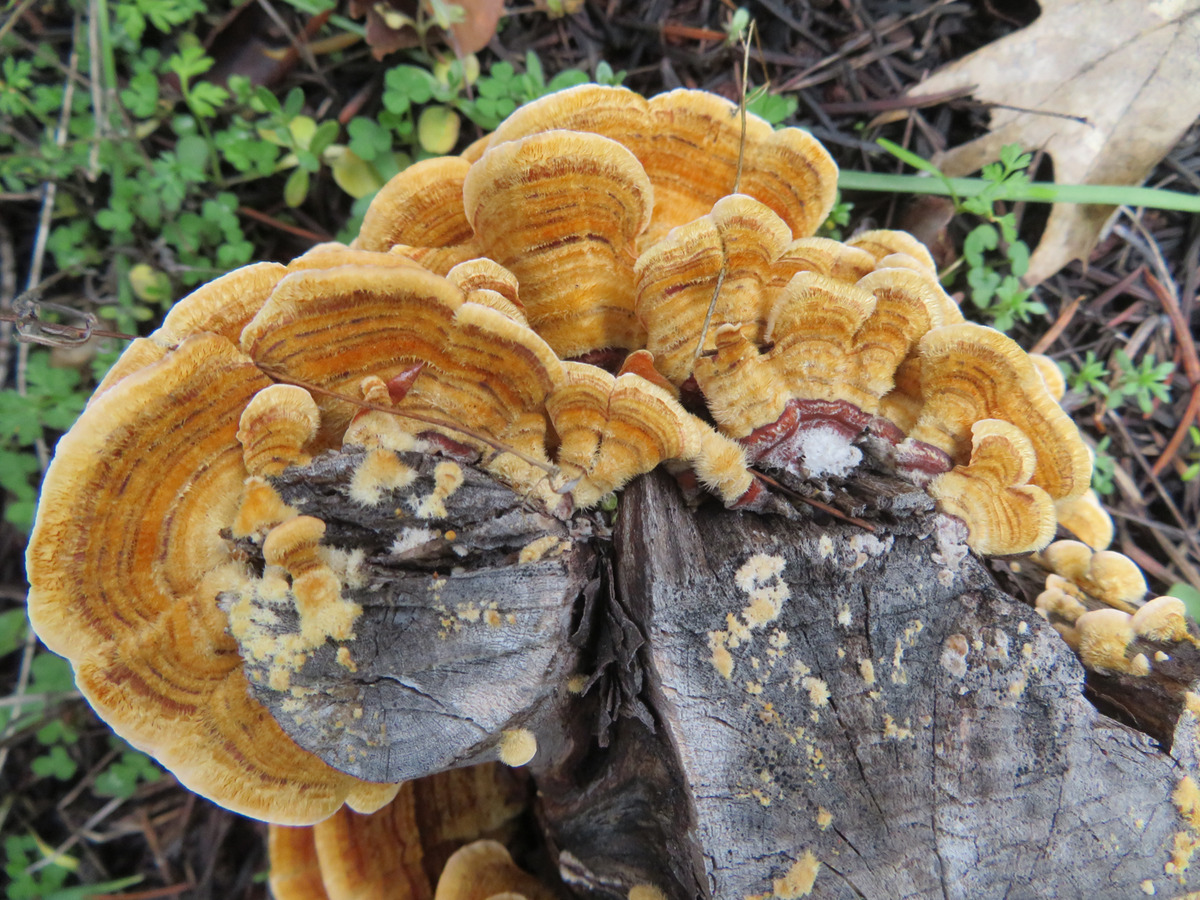
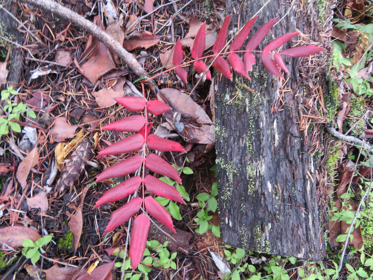
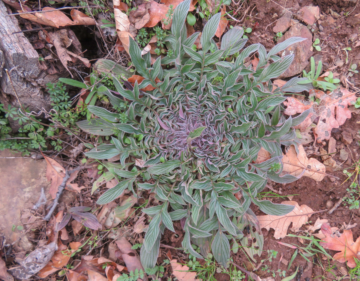
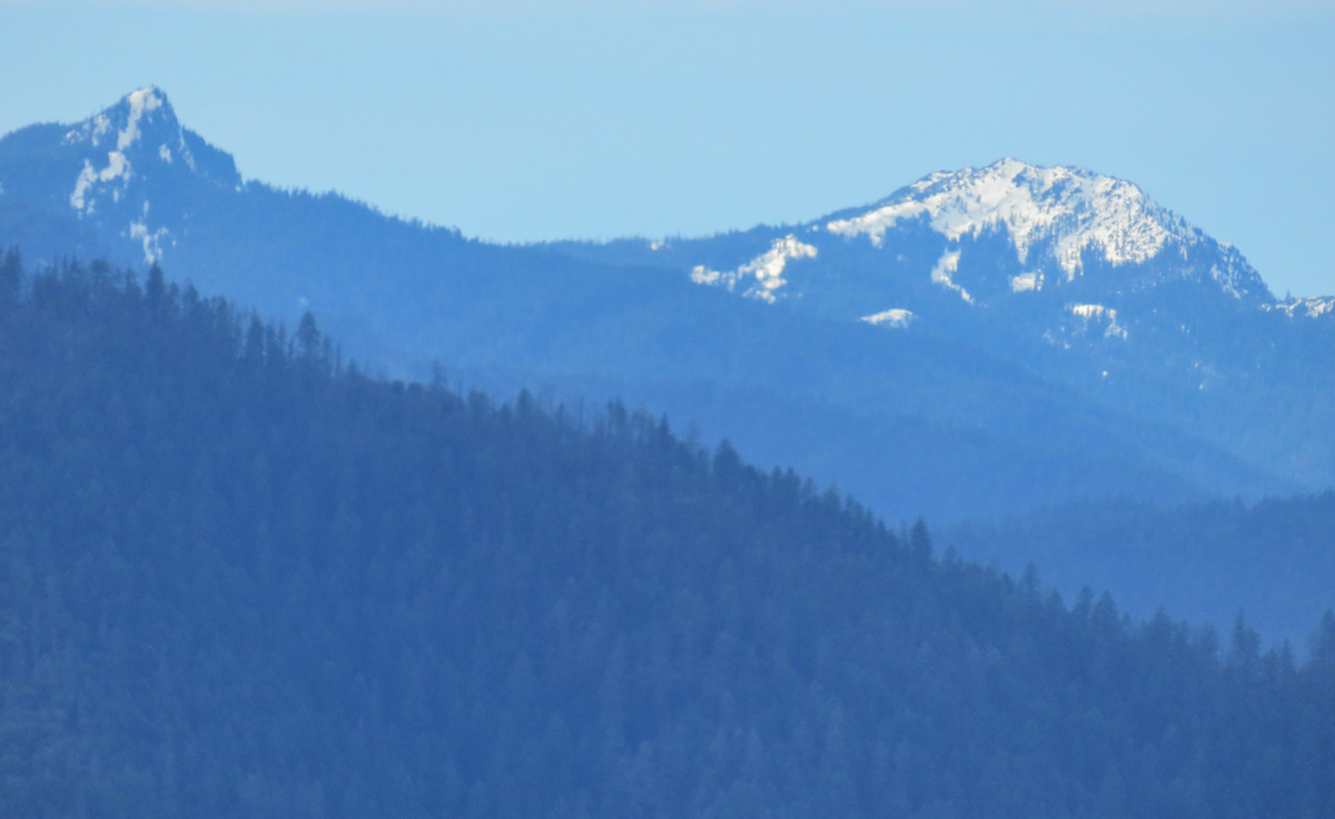
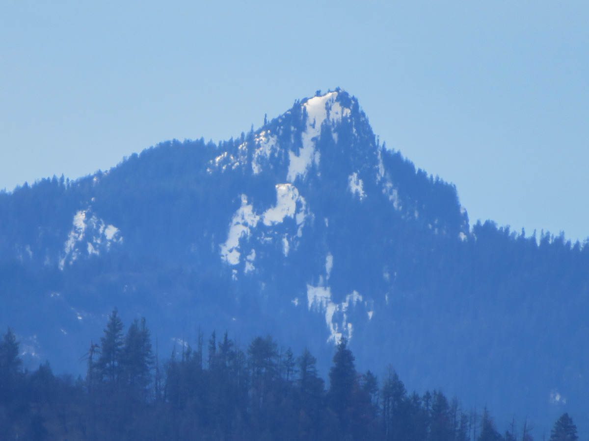
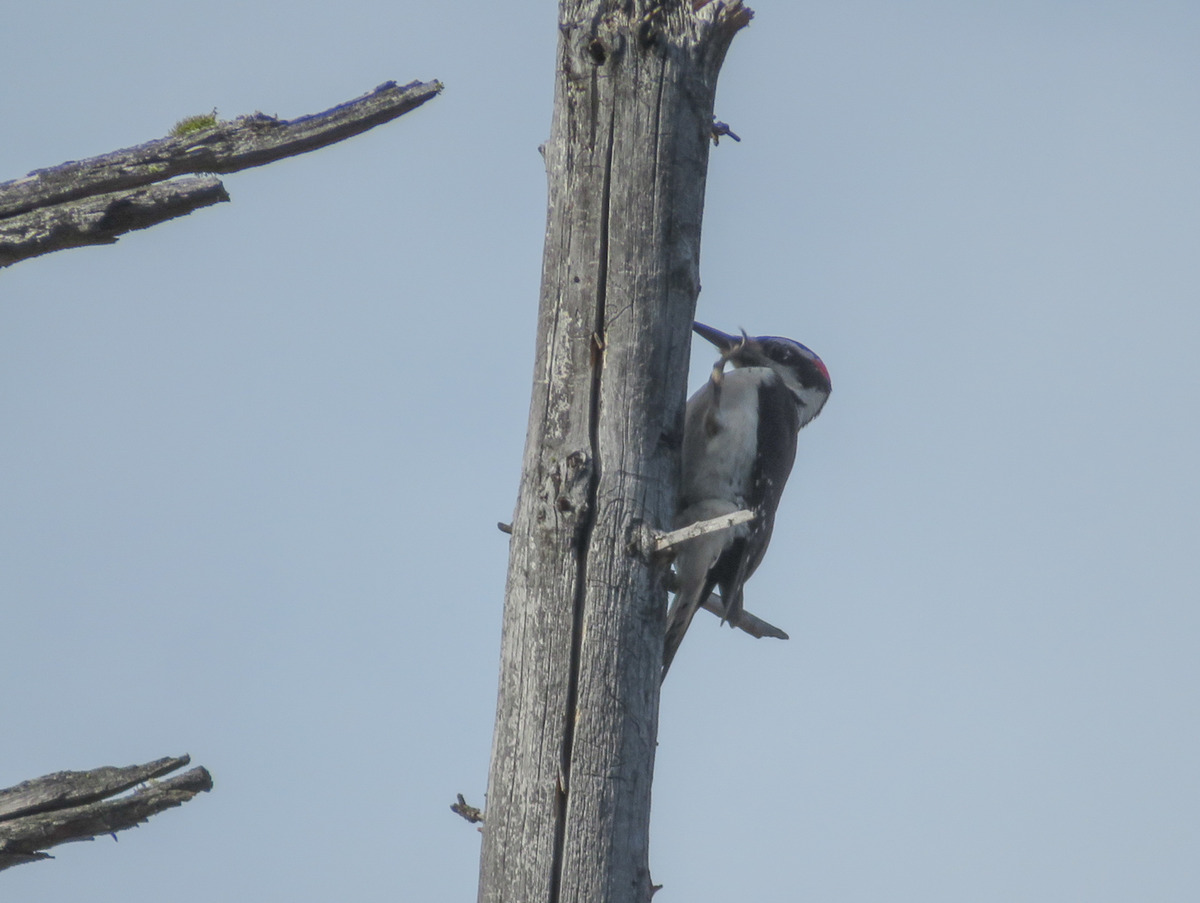
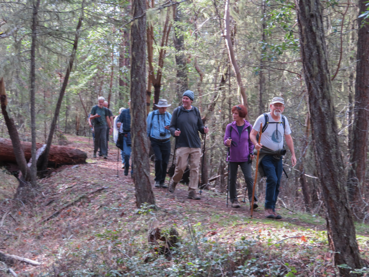
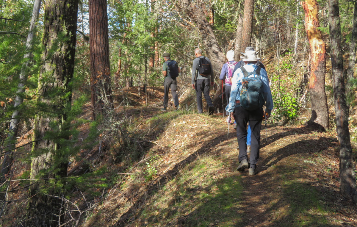
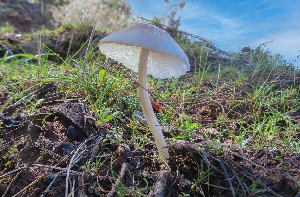
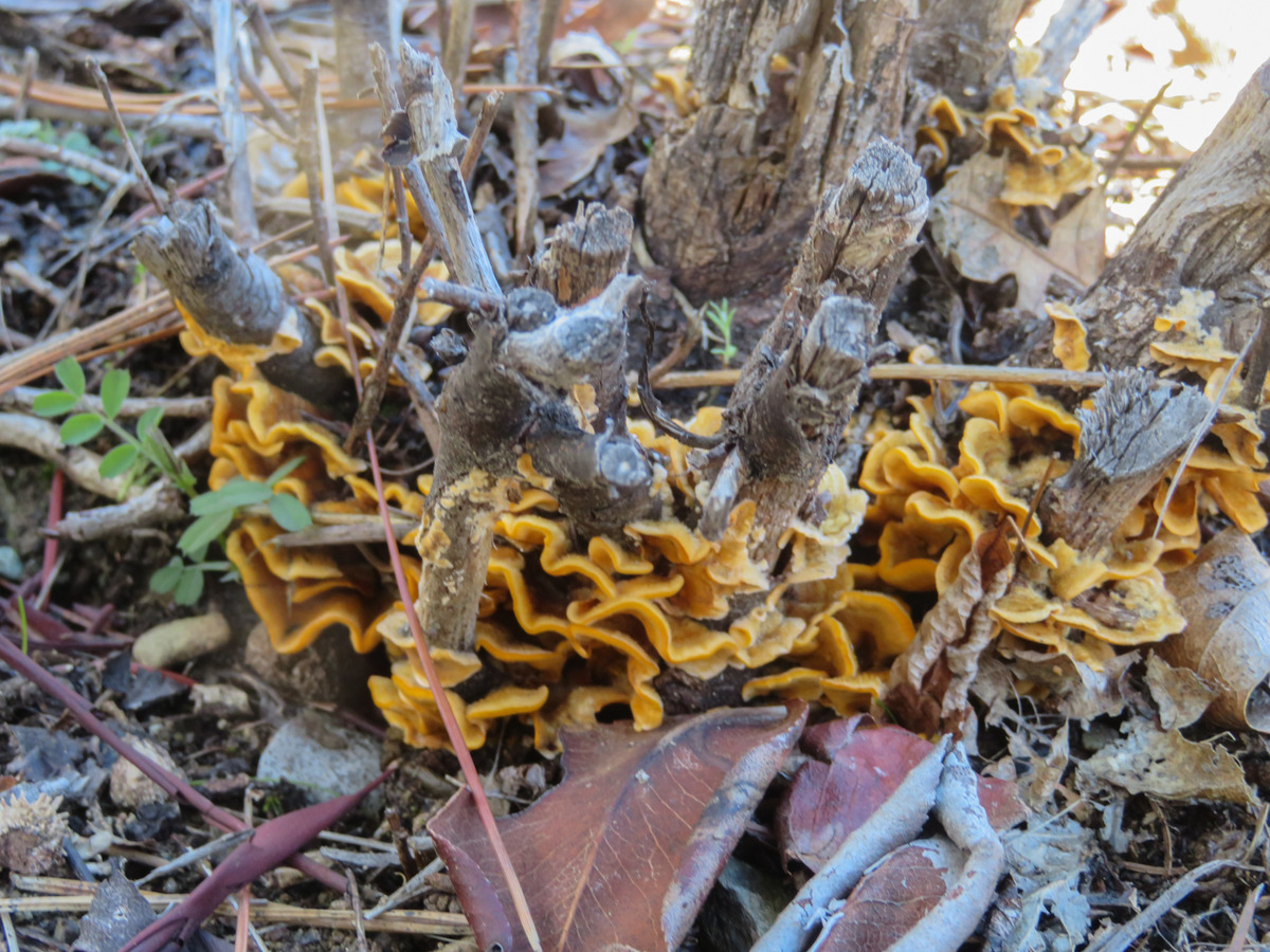
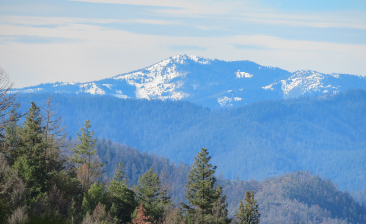
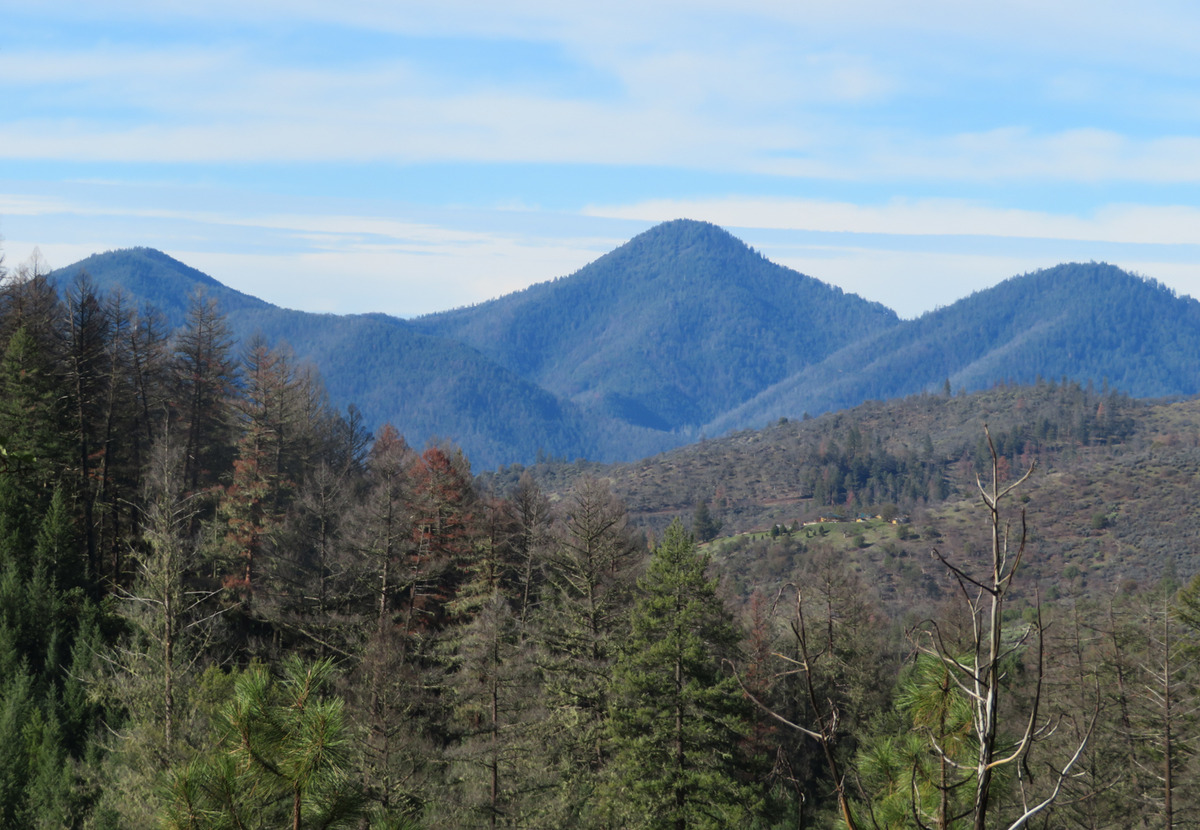
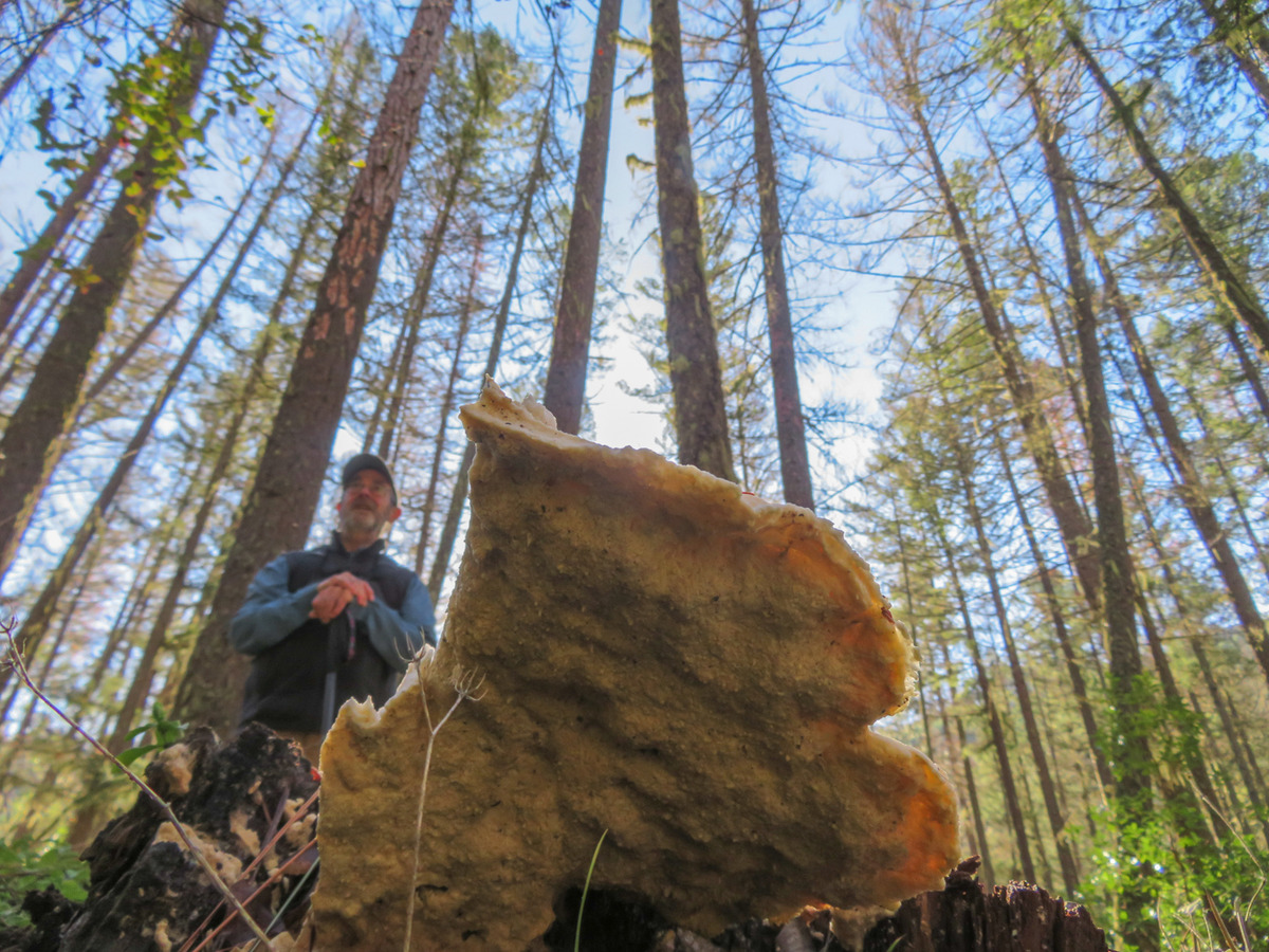
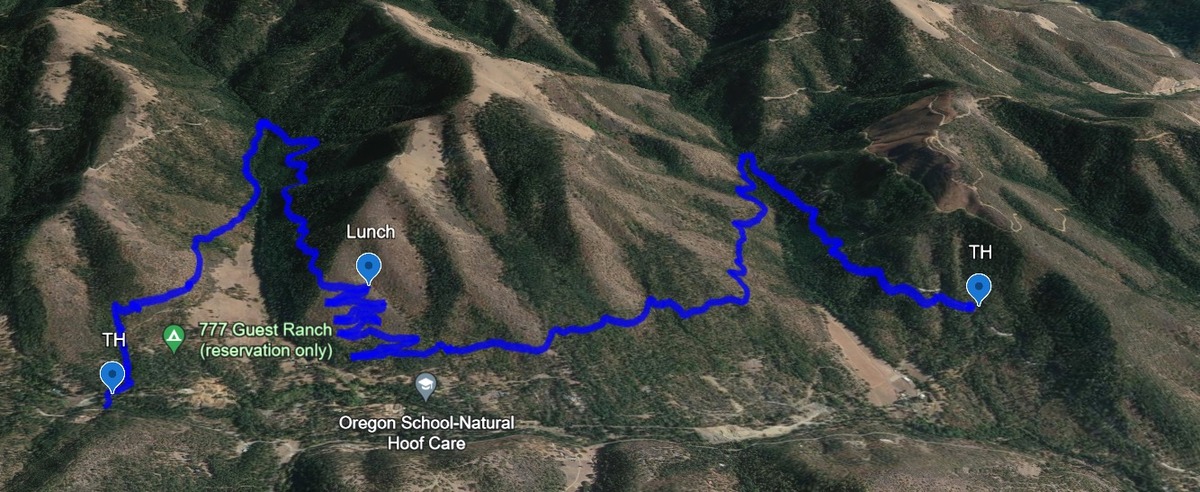
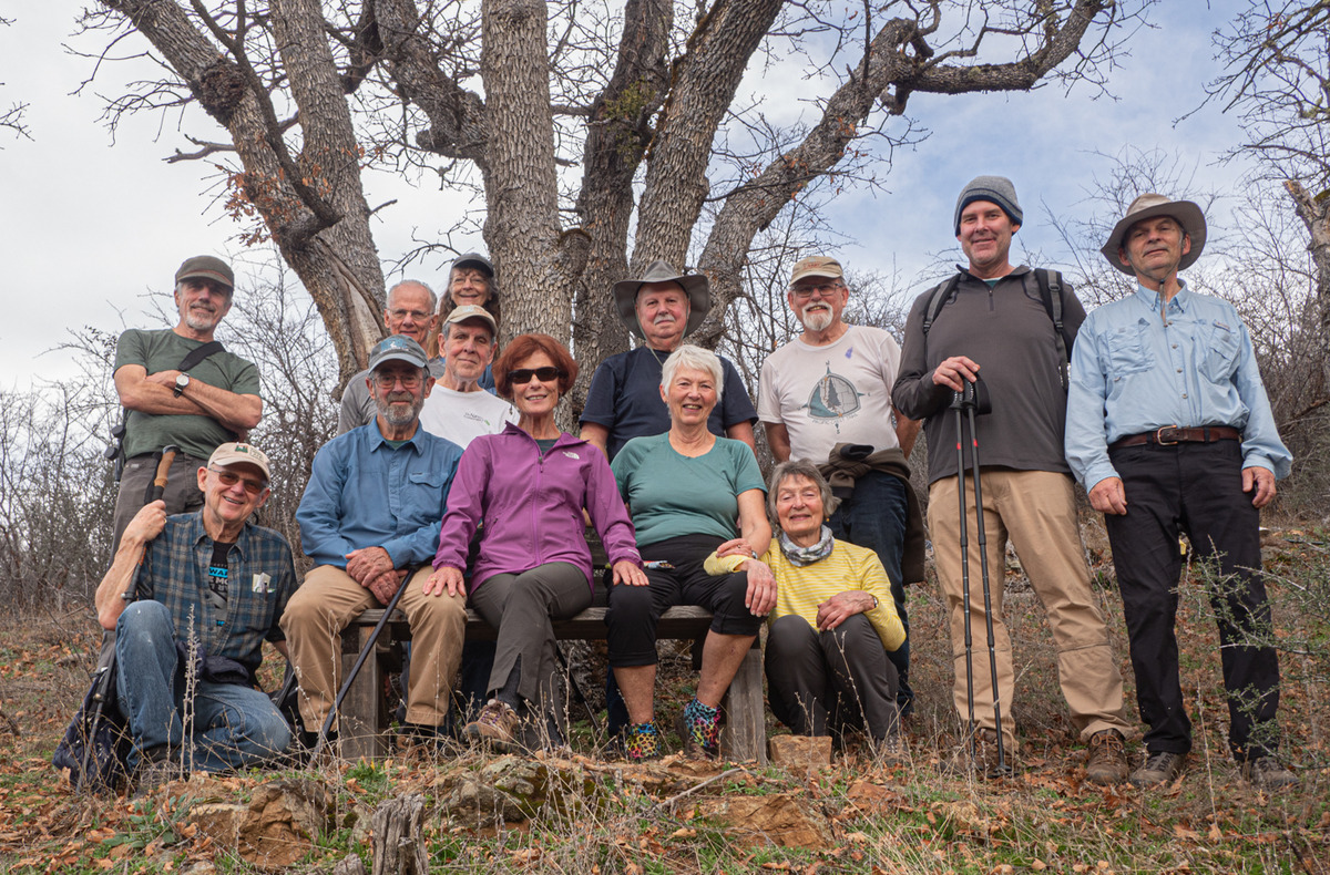
The Monday group closed out January with temps in the 60s hiking on the Sterling Mine ditch trail. It was sunny and felt like Spring for our 7.5 miles.

We started on the Demming Gulch trail, then hiked up the Grub Gulch trail, and finished on a new 2-mile stretch of the Jack Ash trail. Walking next to the old mining ditch, we told new hikers about the hydro mining for gold in the late 19th century.

The forested trails were green with lichen in the trees, moss, ferns, and early green growth along the way.

The Demming trail ends at a locked gate, but a sharp turn to the right starts the ascentĀ up the Grub Gulch trail with lunch near the top and a view of Little Applegate Valley and the snow-covered peaks to the south. We had our group taken around the bench at the lunch spot.
The hike has a gain of about 600 feet, mostly headingĀ  towards lunch.

After lunch, it's mostly downhill or level with a left turn onto the J-A trail for the last 2 miles.

Active mining claims were seen posted on either side of the trail.

Coming out onto Griffin Ln we found the shuttle car that took the drivers back up to the Demming TH.

Post-hike 7 of us drove into Jacksonville for a pitcher at Boomtown.

The warmer weather made it a really pleasant day.

Rich Stickle

Hike Date: 2024-01-29

Photos By: Linda, Randy, gpx by Jerry

Download GPX

Posted in Monday, Sterling Mine Ditch, Woods

Post navigation

← Older posts
Newer posts →
↑