↓
 
Ashland Hiking Group 
 
  • About Us
  • Posted Hikes
    • Recent
    • Monday
    • Wednesday
    • Friday
    • Friday Flower
  • Hike Schedules
    • Monday
      • Current
      • Previous
    • Wednesday
      • Current
      • Previous
    • Friday
      • Current
      • Previous
    • Friday Flower
      • Current
      • Previous
  • Locations
    • Lakes
      • Applegate Lake
      • Azalea Lake
      • Castle Lake
      • Crater Lake
      • Duck Lakes
      • East Boulder Lake
      • Emigrant Lake
      • Fish Lake
      • Kangaroo Lake
      • Lost Creek Lake
      • Mountain Lakes
      • Puck Lakes
      • Seven Lakes
      • Sky Lakes
      • Smith Lake
      • Squaw Lakes
      • Taylor Lake
    • PCT
      • Brown Mountain
      • Castle Crags
      • Cement Bluff
      • Etna Summit
      • Greensprings Area
      • Gumboot Boulder
      • Hyatt/Greensprings Summit
      • Hyatt Reservoir
      • Mt Ashland Area
      • Pilot Rock Area
      • Porcupine Lake
      • Red Buttes
    • Rivers & Streams
      • Elk Creek
      • Frog Pond
      • Kelsey Creek
      • Lower Rogue
      • Mill Creek Falls
      • Sacramento River
      • Squaw Valley Creek
      • Upper Rogue
      • Taylor Creek
    • Snow Shoes
      • Buck Prairie
      • Crater Lake
      • Deadwood
      • Great Meadow
      • Grouse Gap
      • Hyatt Lake
      • Moon Prairie
      • Mt Ashland
      • Mt Shasta
      • Pederson
      • Pilot Rock
      • Summit Sno-Park
    • Mountains & Summits
      • A>L
        • Abbot Butte
        • Anderson Butte
        • Arch Rock
        • Baldy Peak
        • Big Red Mountain
        • Bolt Mountain
        • Castle Crags
        • Collings Mountain
        • Frank Hill Road
        • Grayback Mountain
        • Grizzly Peak
        • Kerby Peak
      • M>Z
        • Mount Ashland
        • Mount Bailey
        • Mount Eddy
        • Mount Elijah
        • Mount Shasta
        • Pompadour Bluff
        • Roxy Ann
        • Squaw Peak
        • Stein Butte
        • Stukel Mountain
        • Table Rocks
        • Union Peak
        • Wagner Butte
    • Woods
      • Ashland City
      • Ashland Watershed
      • Bear Creek Greenway
      • Cathedral Hills
      • Denman Wildlife Refuge
      • East Applegate Ridge
      • Enchanted Forest
      • Greenhorn Park
      • Greensprings Area
      • High Lakes Trail
      • Horseshoe Ranch
      • Jack Ash
      • Jacksonville
      • Layton Mine Ditch
      • Pacifica
      • Sterling Mine Ditch
      • Steves 40 Acres
    • Miscellaneous
  • Images
    • Resize @ 1000H ,1000V & med before uploading
  • Log In

Post navigation

← Older posts
Newer posts →

Little Pilot Rock & Boccard Point

Ashland Hiking Group Posted on May 8, 2024 by Randy BryanMay 9, 2024

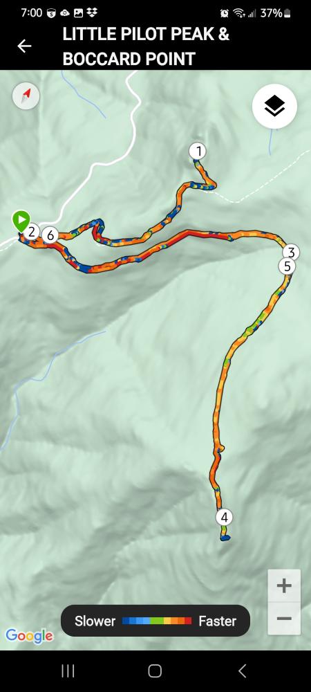
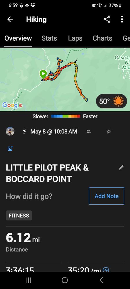
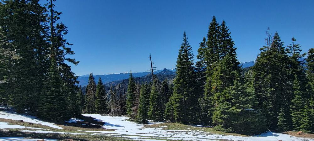
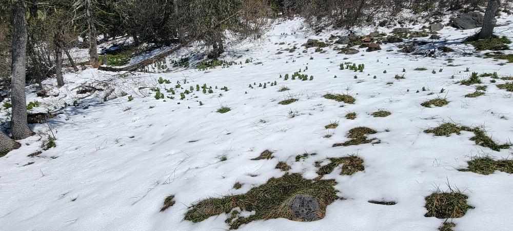
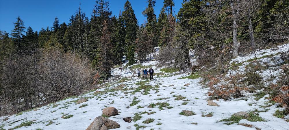
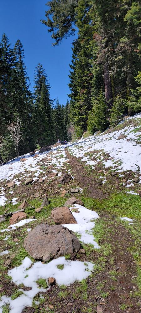
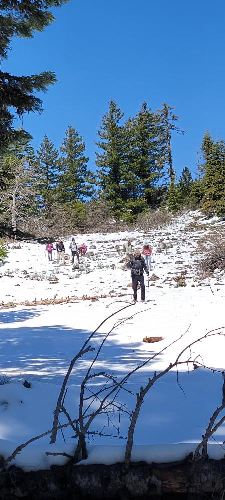
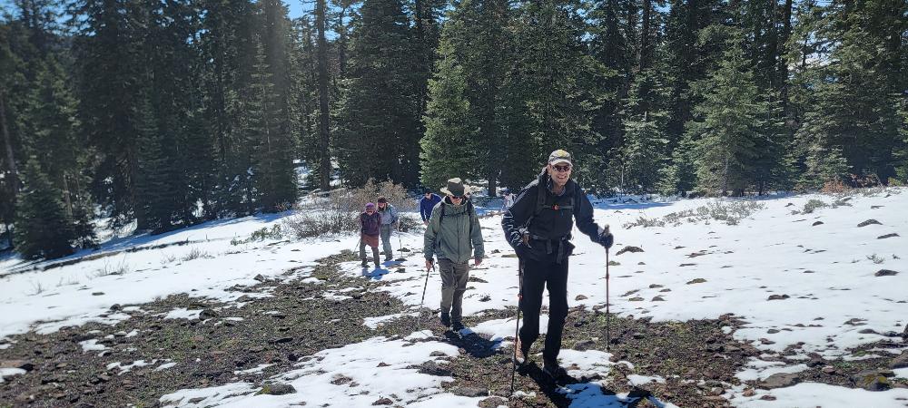
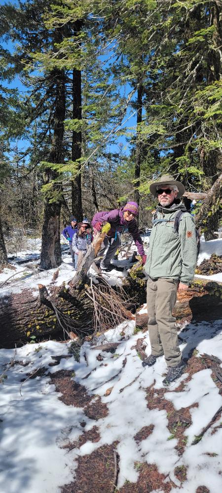
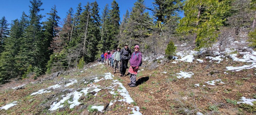
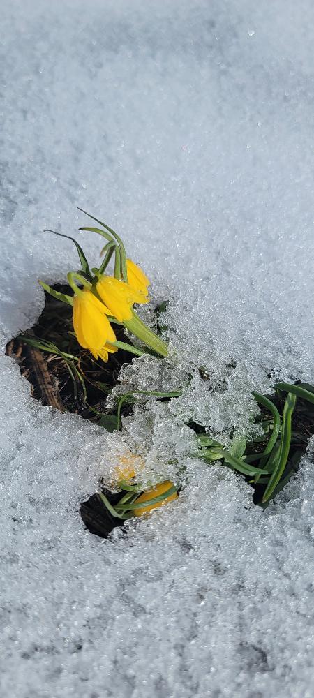
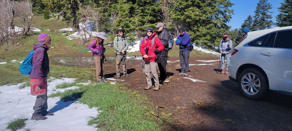
We had 11 people come out to hike to Little Pilot Peak and Boccard Point. After the storm over the weekend, we ended up having some snow to hike through. We started a little after 10 AM and headed towards Little Pilot Peak. At one point, I lost the trail and had to reconnect after others could see a diamond on one of the trees. There were some downed trees but we easily made our way around them.

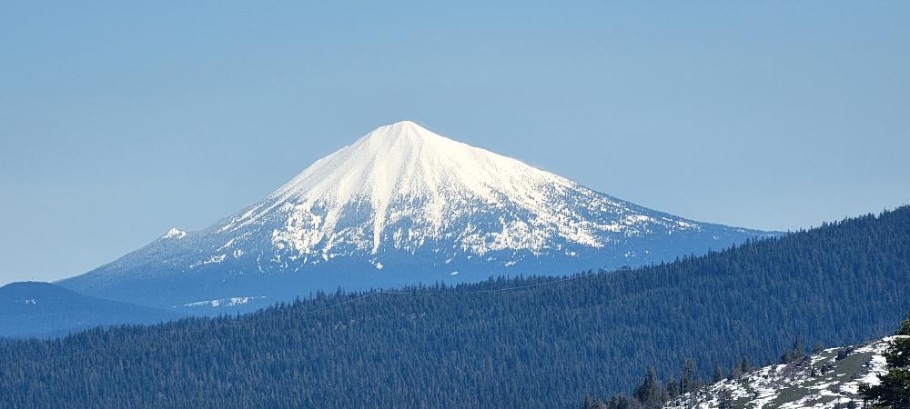
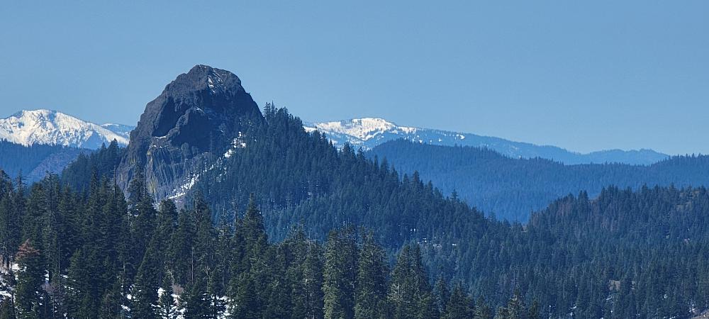
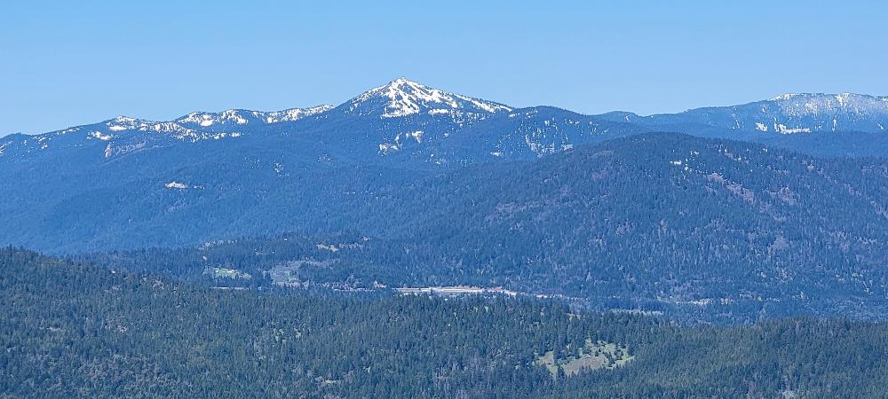
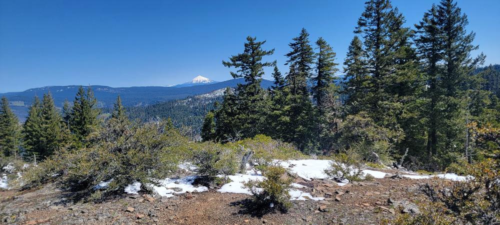
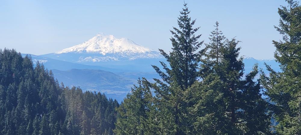
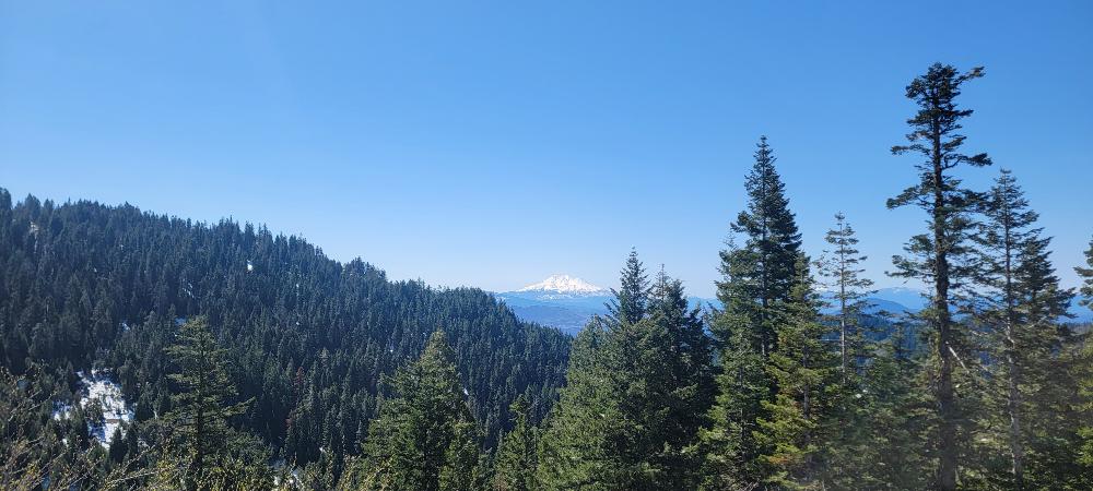
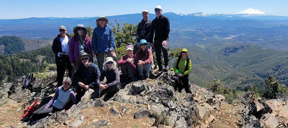
After about 1/8th of a mile, we turned and headed up to the top of Little Pilot Peak. We took in views of Emigrant Lake, Soda Mountain, Mt McLoughlin, Mt Ashland, and Pilot Rock. We took a quick snack break and then headed back to the cars.

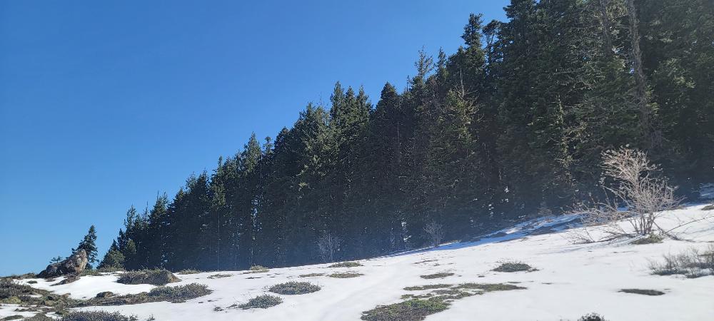
After returning to the cars, we headed up the Boccard Point Trail. There were many places where the snow was deep enough that we postholed a little over our ankles. There were also some slippery muddy spots, but we pushed on. We reached the top of Boccard Point and enjoyed our lunches. We once again enjoyed chocolate provided by Michael B.

After lunch, we only had 2 miles to return to our cars around 2:30p,m. We had hiked 6.12 miles and climbed 1,203 feet of elevation.

Hike Leader: Francie

Photos By: Francie

Posted in Greensprings Area, PCT, Wednesday

Post navigation

← Older posts
Newer posts →
↑