↓
 
Ashland Hiking Group 
 
  • About Us
  • Posted Hikes
    • Recent
    • Monday
    • Wednesday
    • Friday
    • Friday Flower
  • Hike Schedules
    • Monday
      • Current
      • Previous
    • Wednesday
      • Current
      • Previous
    • Friday
      • Current
      • Previous
    • Friday Flower
      • Current
      • Previous
  • Locations
    • Lakes
      • Applegate Lake
      • Azalea Lake
      • Castle Lake
      • Crater Lake
      • Duck Lakes
      • East Boulder Lake
      • Emigrant Lake
      • Fish Lake
      • Kangaroo Lake
      • Lost Creek Lake
      • Mountain Lakes
      • Puck Lakes
      • Seven Lakes
      • Sky Lakes
      • Smith Lake
      • Squaw Lakes
      • Taylor Lake
    • PCT
      • Brown Mountain
      • Castle Crags
      • Cement Bluff
      • Etna Summit
      • Greensprings Area
      • Gumboot Boulder
      • Hyatt/Greensprings Summit
      • Hyatt Reservoir
      • Mt Ashland Area
      • Pilot Rock Area
      • Porcupine Lake
      • Red Buttes
    • Rivers & Streams
      • Elk Creek
      • Frog Pond
      • Kelsey Creek
      • Lower Rogue
      • Mill Creek Falls
      • Sacramento River
      • Squaw Valley Creek
      • Upper Rogue
      • Taylor Creek
    • Snow Shoes
      • Buck Prairie
      • Crater Lake
      • Deadwood
      • Great Meadow
      • Grouse Gap
      • Hyatt Lake
      • Moon Prairie
      • Mt Ashland
      • Mt Shasta
      • Pederson
      • Pilot Rock
      • Summit Sno-Park
    • Mountains & Summits
      • A>L
        • Abbot Butte
        • Anderson Butte
        • Arch Rock
        • Baldy Peak
        • Big Red Mountain
        • Bolt Mountain
        • Castle Crags
        • Collings Mountain
        • Frank Hill Road
        • Grayback Mountain
        • Grizzly Peak
        • Kerby Peak
      • M>Z
        • Mount Ashland
        • Mount Bailey
        • Mount Eddy
        • Mount Elijah
        • Mount Shasta
        • Pompadour Bluff
        • Roxy Ann
        • Squaw Peak
        • Stein Butte
        • Stukel Mountain
        • Table Rocks
        • Union Peak
        • Wagner Butte
    • Woods
      • Ashland City
      • Ashland Watershed
      • Bear Creek Greenway
      • Cathedral Hills
      • Denman Wildlife Refuge
      • East Applegate Ridge
      • Enchanted Forest
      • Greenhorn Park
      • Greensprings Area
      • High Lakes Trail
      • Horseshoe Ranch
      • Jack Ash
      • Jacksonville
      • Layton Mine Ditch
      • Pacifica
      • Sterling Mine Ditch
      • Steves 40 Acres
    • Miscellaneous
  • Images
    • Resize @ 1000H ,1000V & med before uploading
  • Log In

Post navigation

← Older posts
Newer posts →

Layton Mine Ditch Trail

Ashland Hiking Group Posted on February 19, 2024 by Randy BryanApril 23, 2024

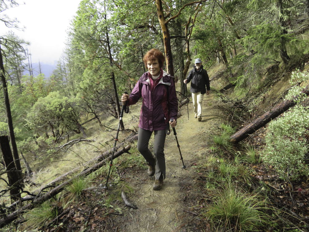
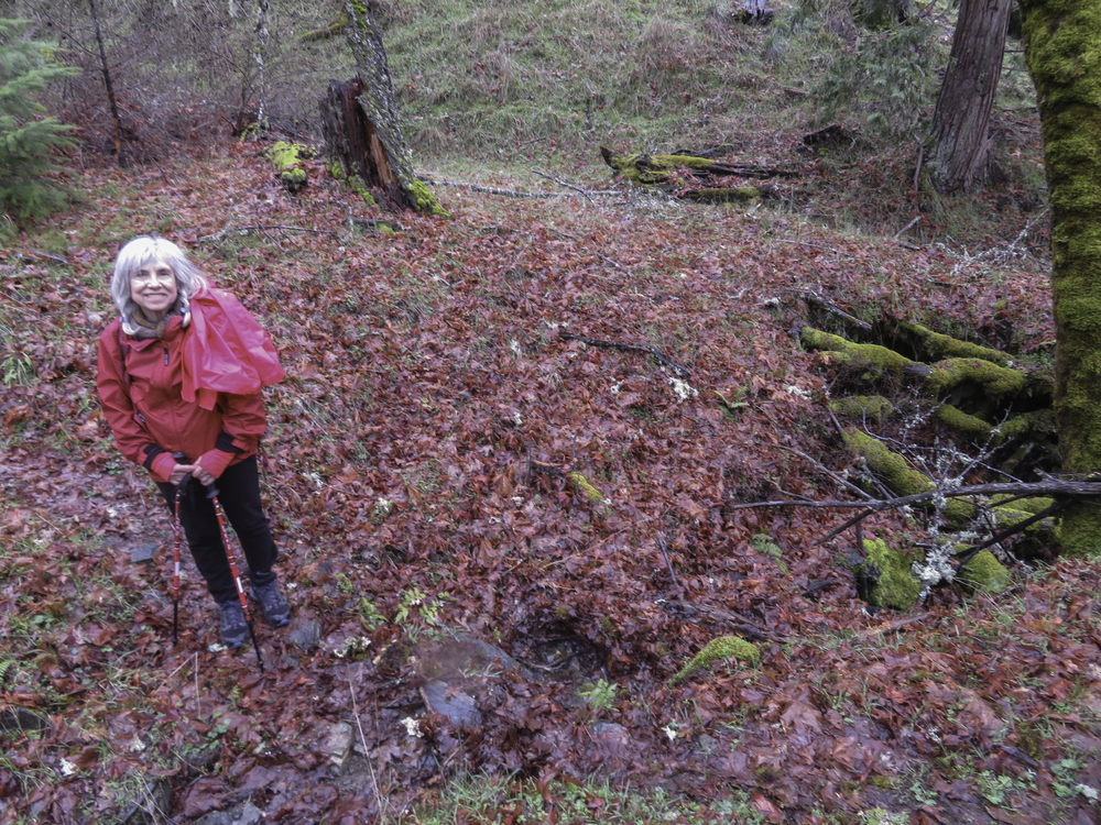
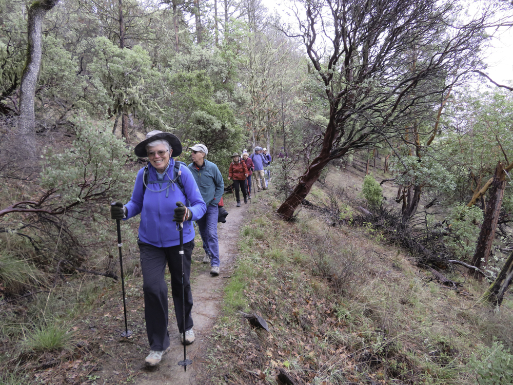
The weather started cold and clinging as we began hiking along the Layton Mine Ditch trail above Williams. It was drizzling and we were actually hiking through the low-hanging clouds.

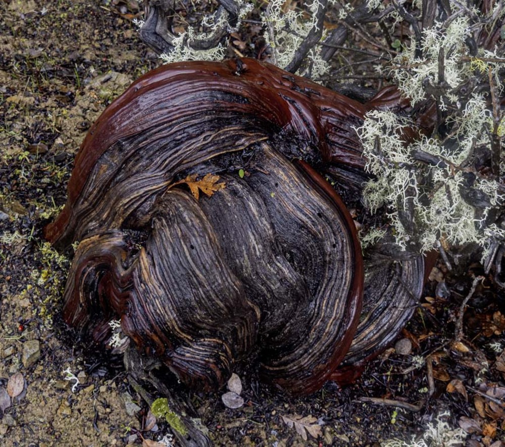
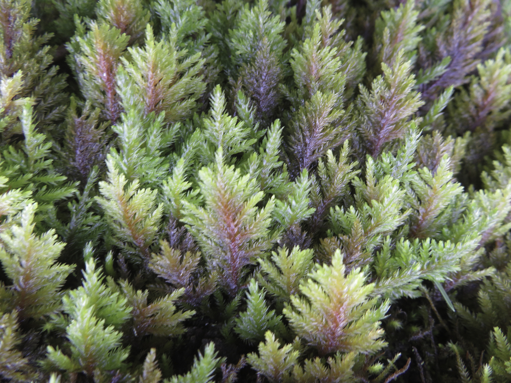
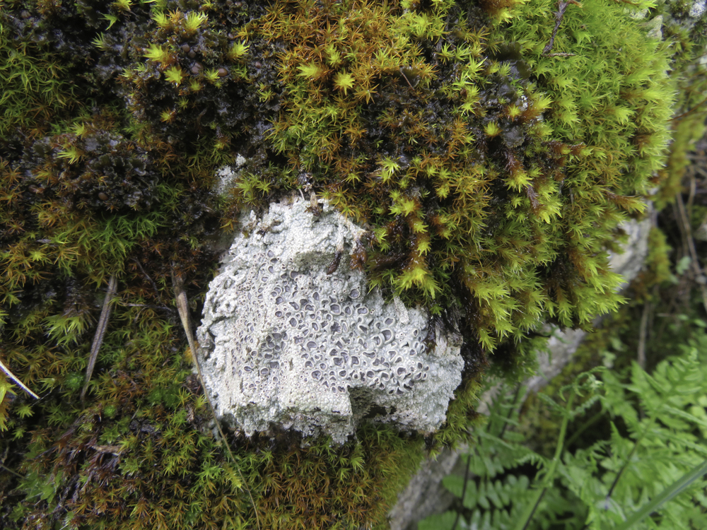
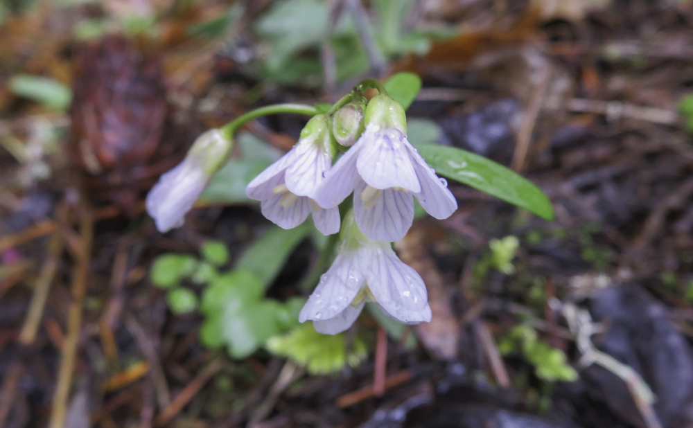
Although the trail was damp, the moisture brought out the colors and was a perfect environment for early spring plant growth.
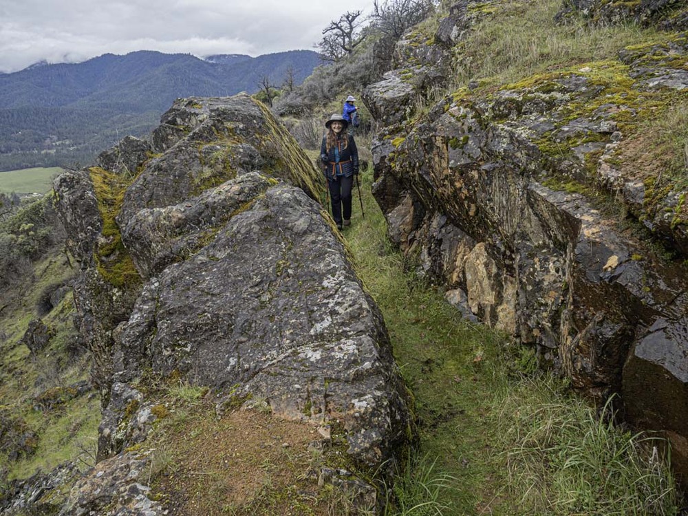
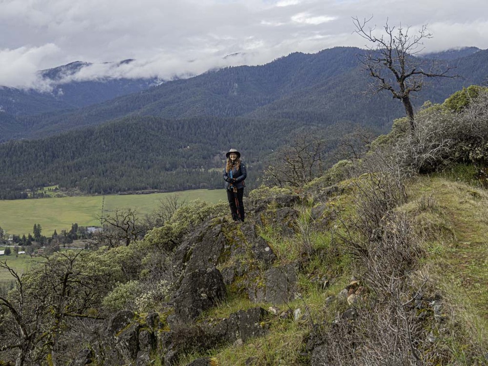
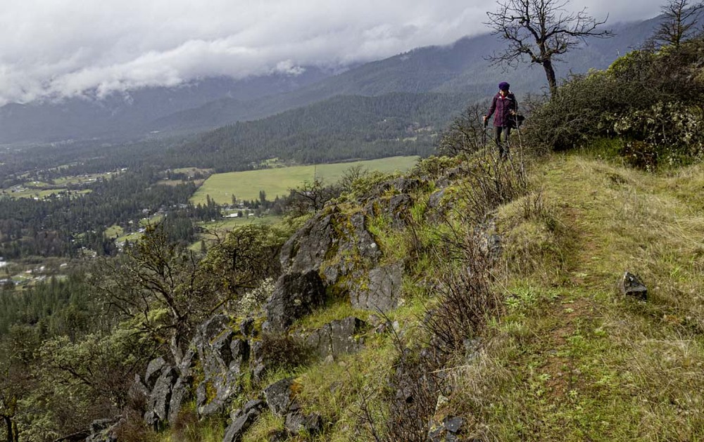
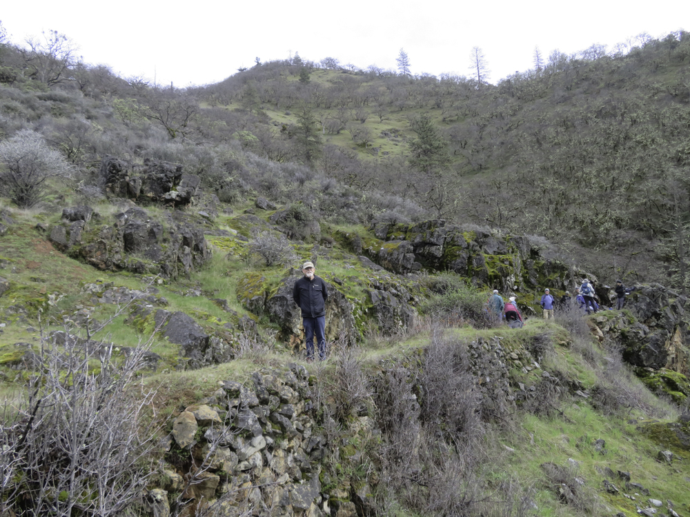
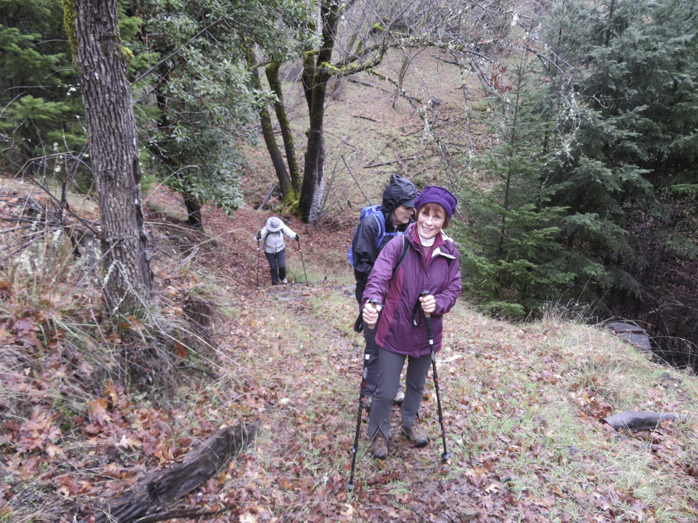
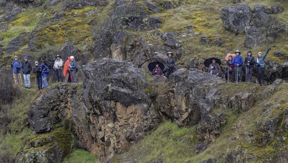
We were hiking part #1 of the Layton MDT out to the historic Chinese Wall 6.8 miles RT with about 500′ of gain.
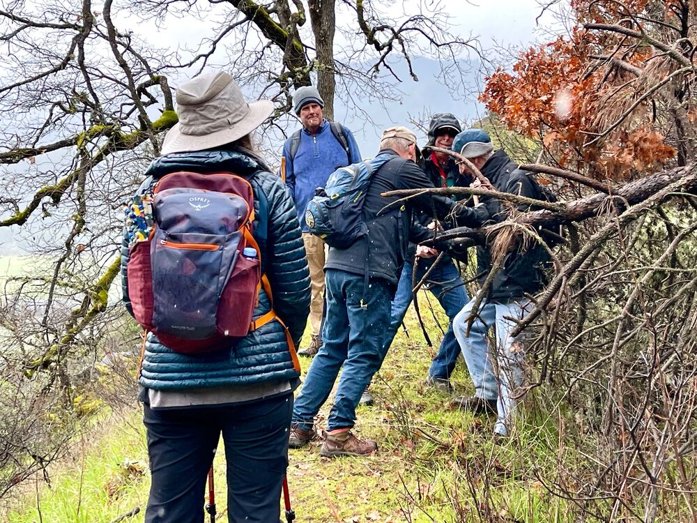
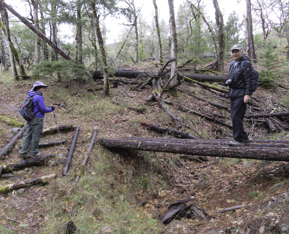
Our caravan of SUVs parked up above the TH on Panther Gulch Rd by Randy’s pickup. After a short walk down and then up the trail on the right the trail leveled off next to the ditch.
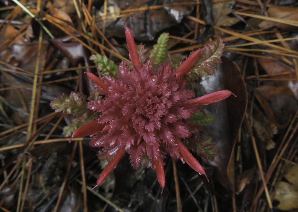
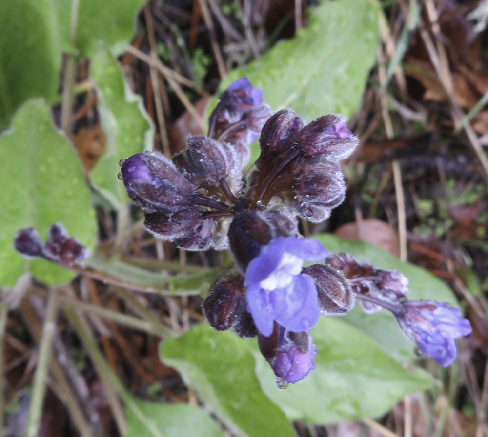
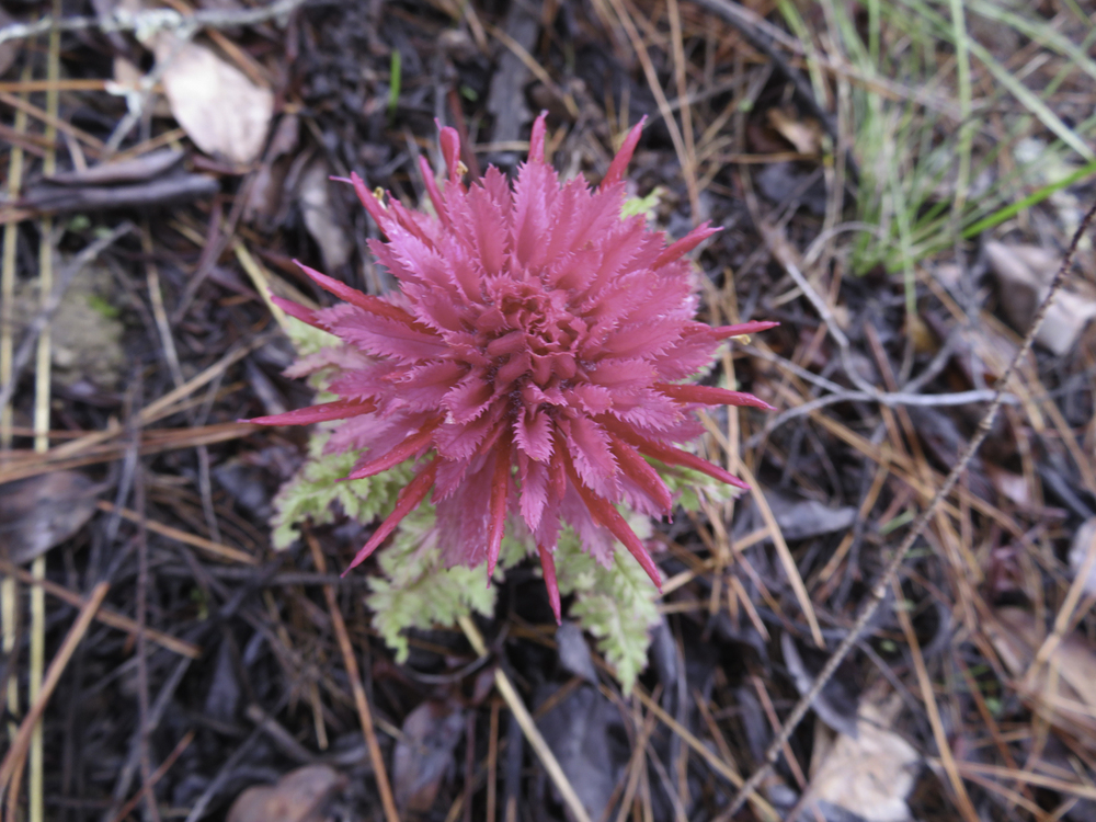
Almost immediately we started to see red heads popping out of the ground in the ditch and on either side of the trail. These were the first sightings of Indian Warrior flowers and suggested that we might experience an early spring.
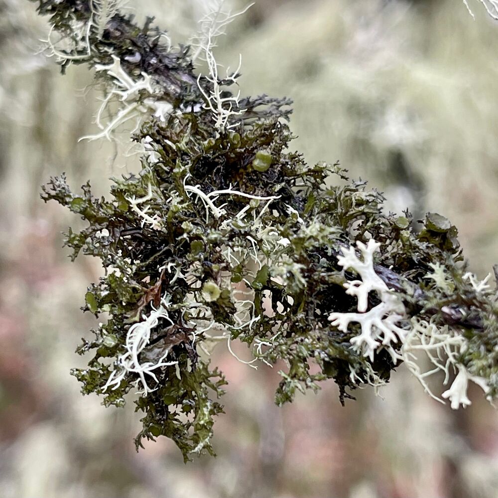
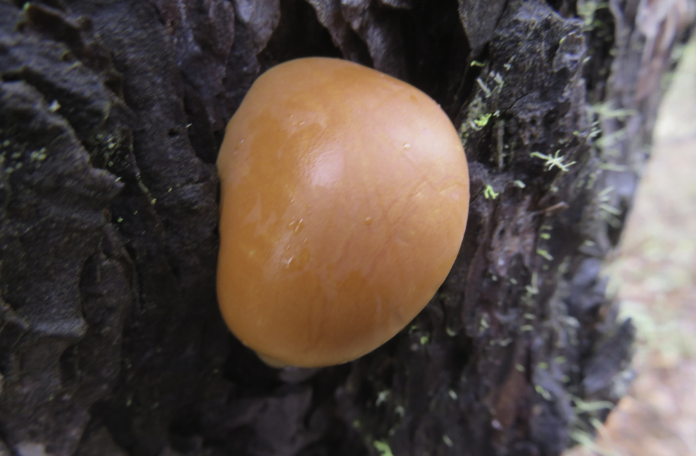
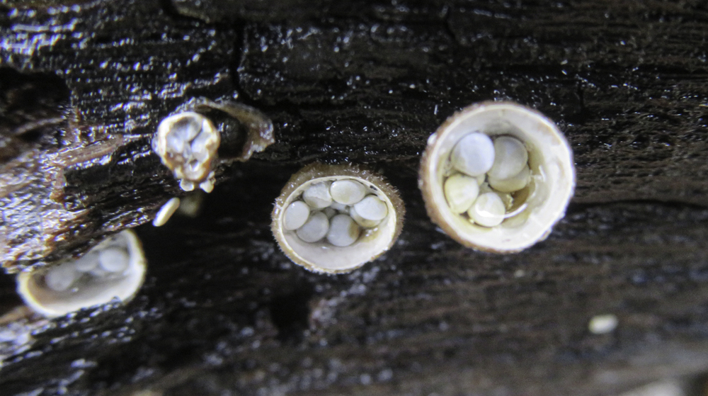
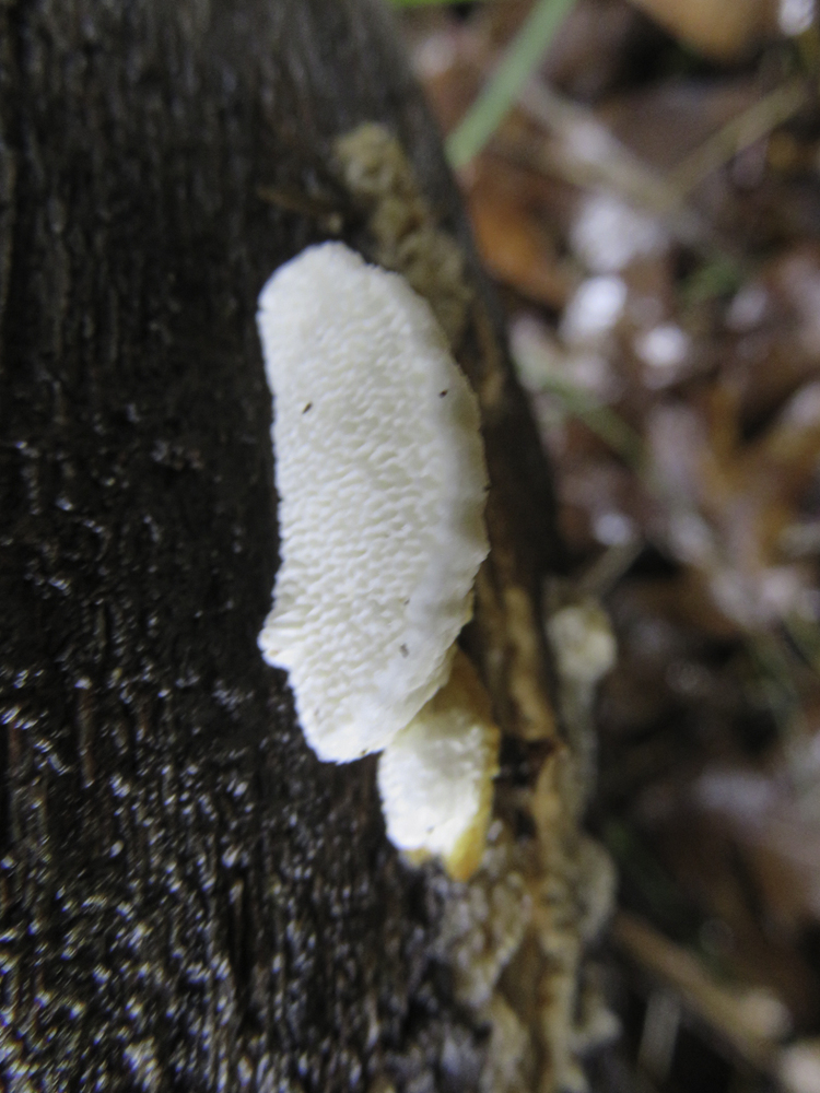
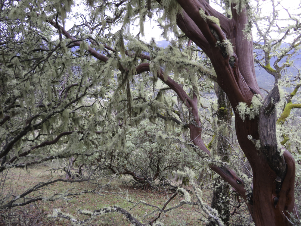
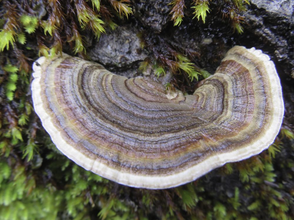
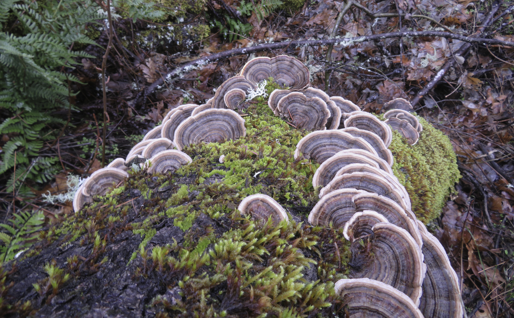
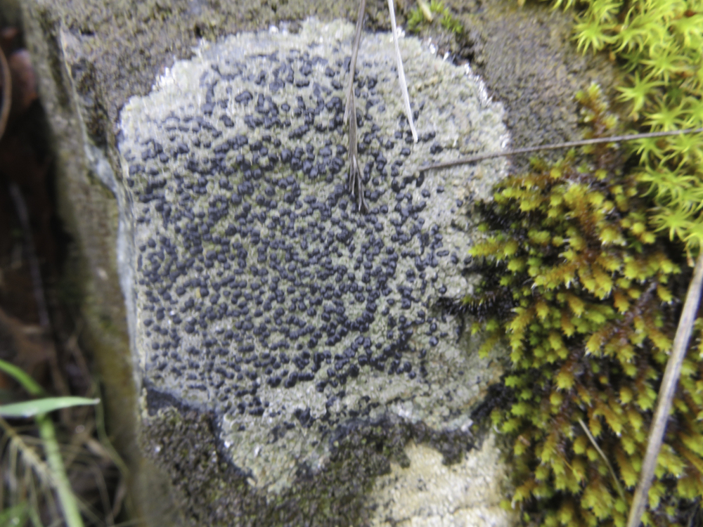
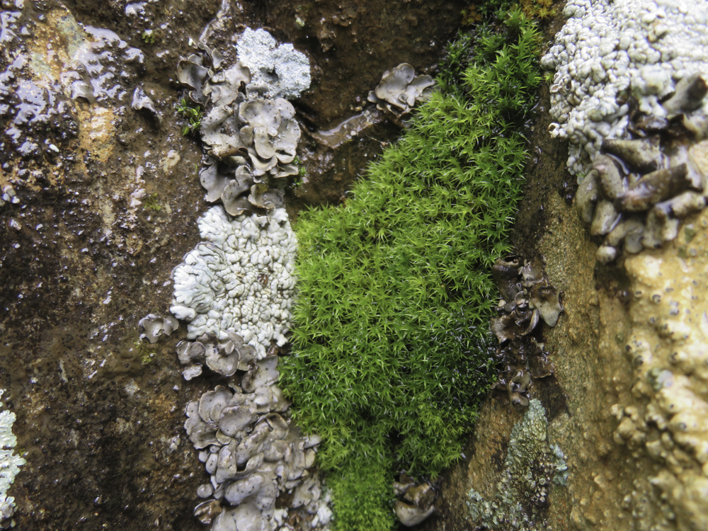
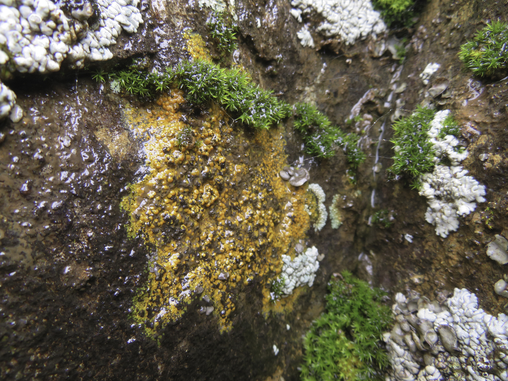
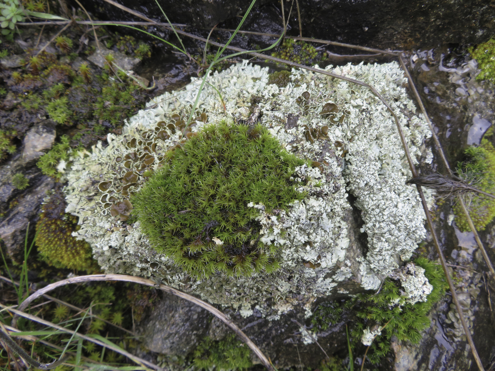
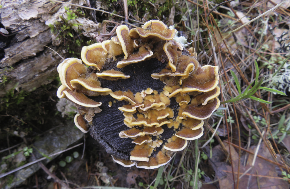
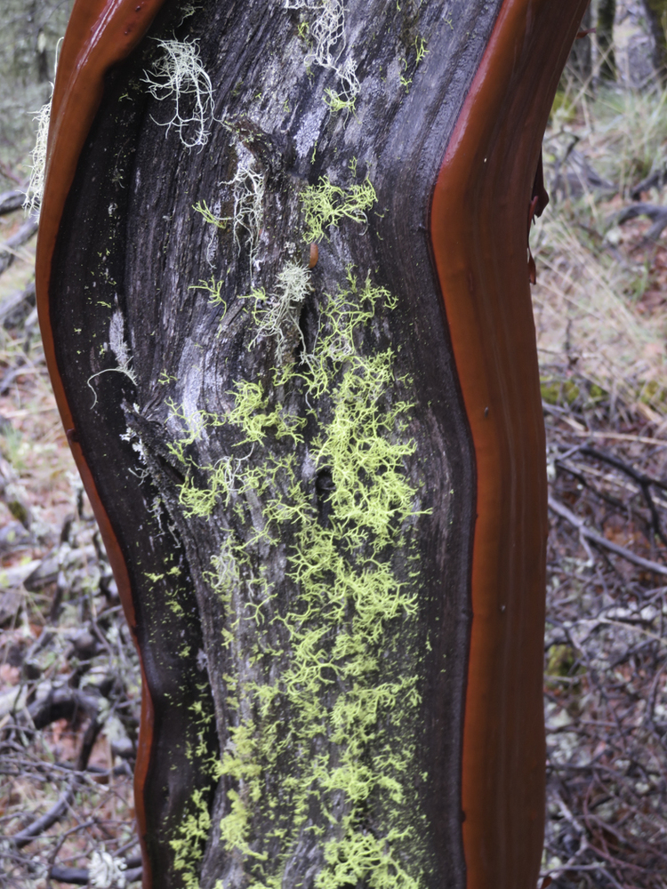
But winter’s growth was still prevalent with lichen, moss and fungi everywhere along the forested trail.
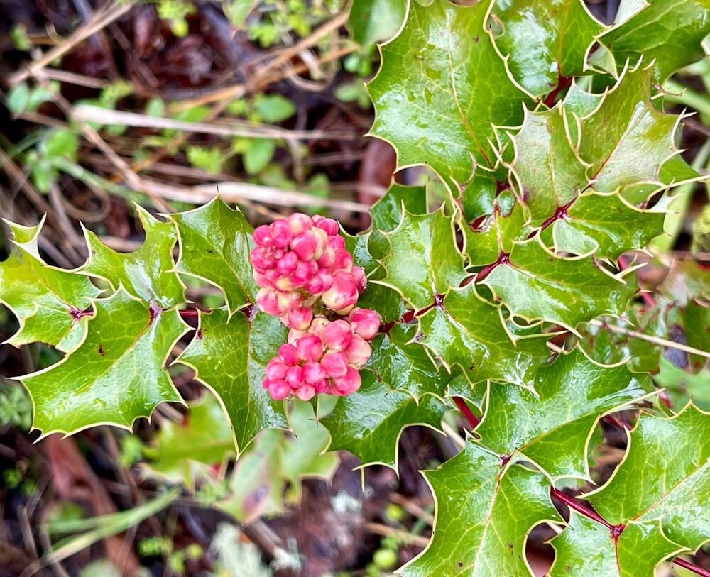
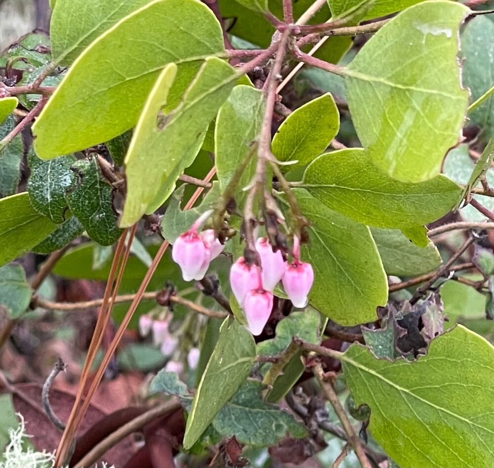
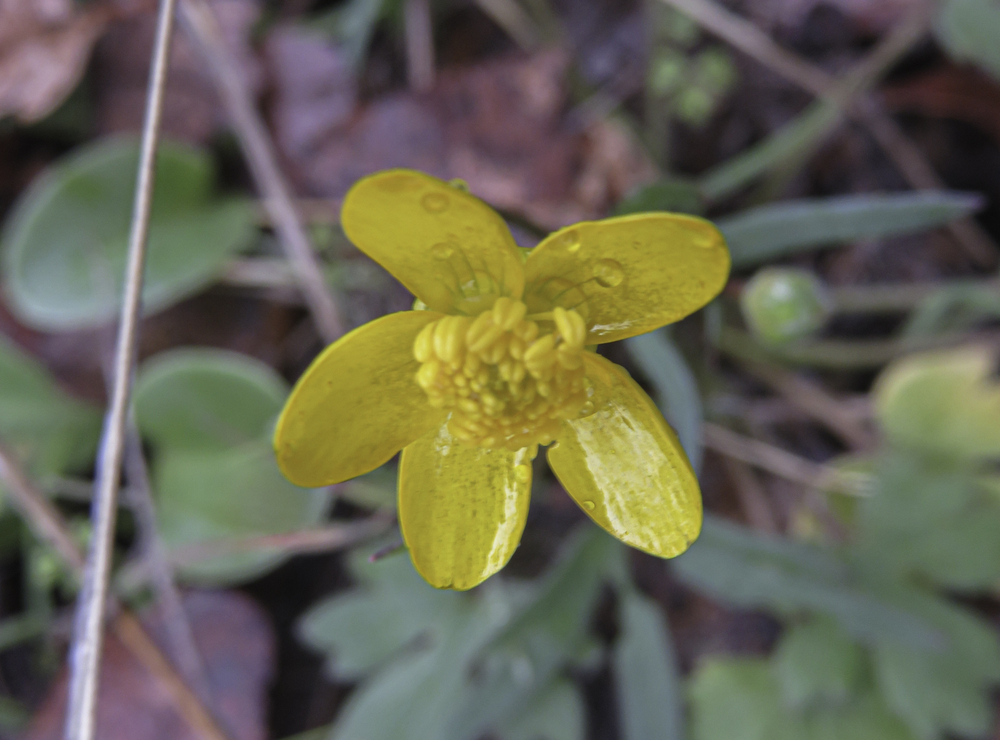
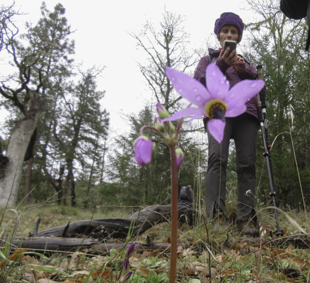
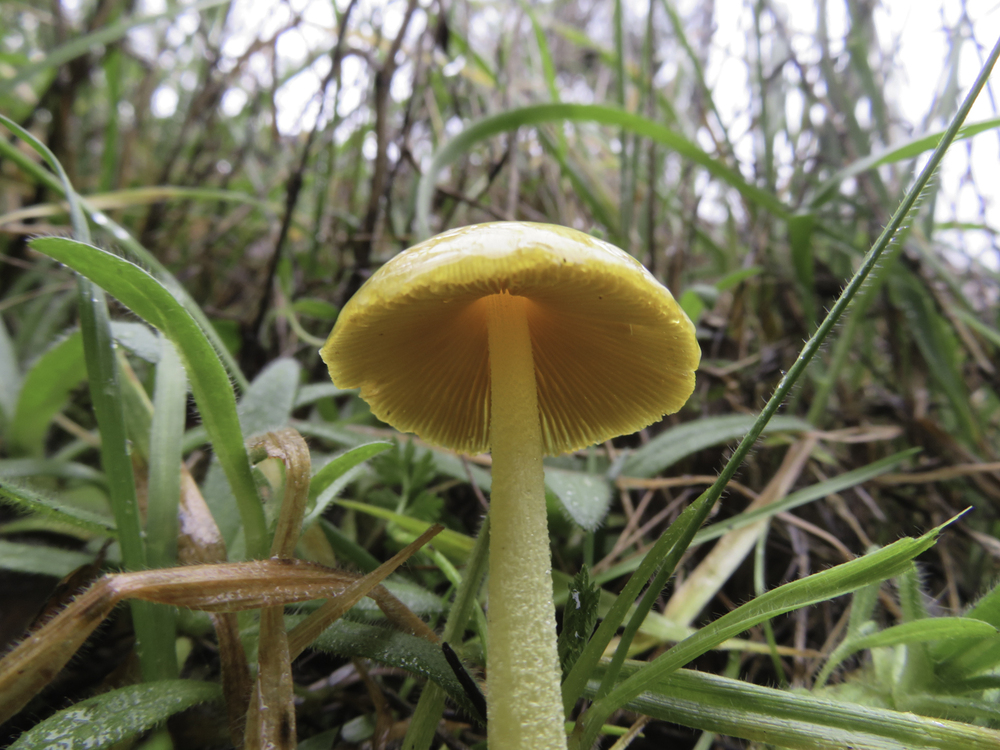
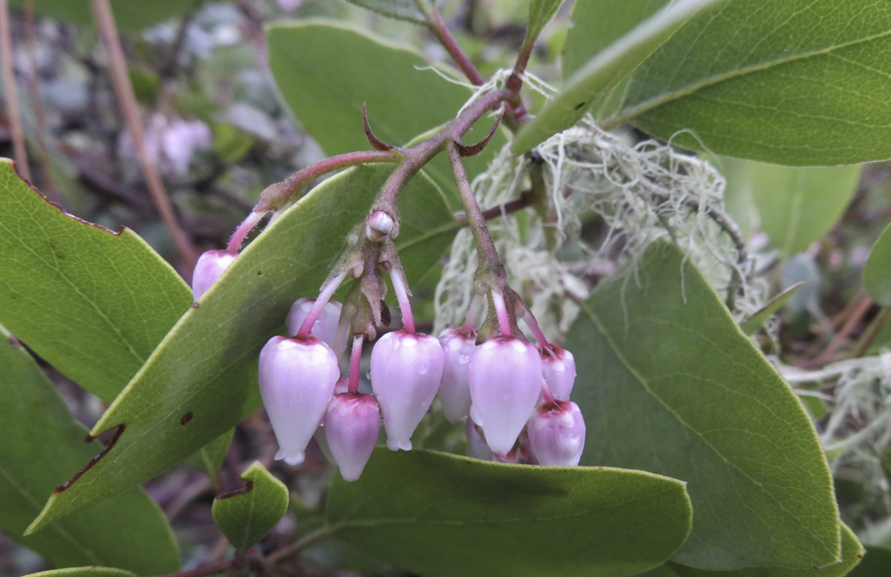
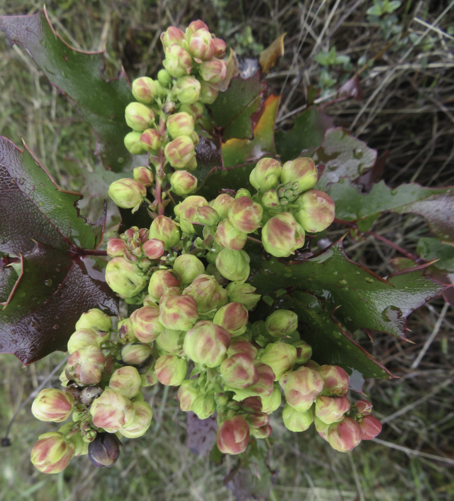
Still the flower lovers in the group were excited to see many firsts of  spring colors of the blossoming flowers. Here’s what we saw on Monday: many red Indian Warriors, white Milk Maids, purple Hounds Tongue, Oregon Grape, pink Manzanita blossoms (showing their “Little Apple” shape), and just up the first of many Shooting Stars and Buttercups.
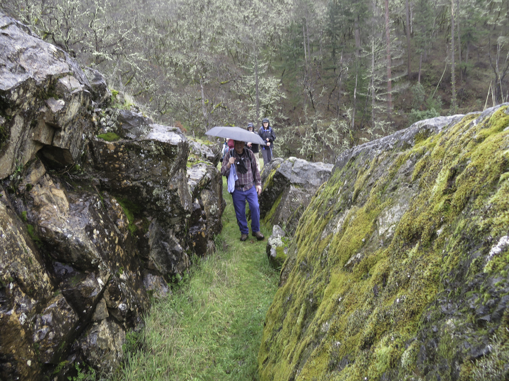
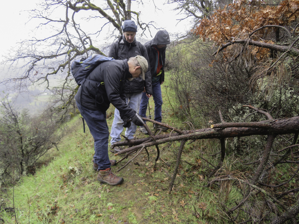
The drizzle was off and on as we made our way out to the Chinese retaining Wall for lunch.
A bit of history, the Chinese laborers who dug the 20+ mile ditch faced a  problem continuing the ditch to the mine because of a large outcropping of rocks in their path. Extra dynamite was used to blast their way through and formed a rock ditch. The loosened boulders were used to form retaining walls that allowed the ditch to keep flowing to Layton’s Mine.
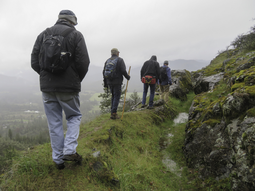
Shortly after we arrived at our destination the rain stopped and some sun peeked through the clouds. The rural Williams Valley was revealed below and we could see snow on the mountains across the valley from our location.
After lunch, 16 pieces of Coffee Buzz dark chocolate were handed out to our 16 hikers and then we started heading back with a new appreciation for 19th century mining engineering.
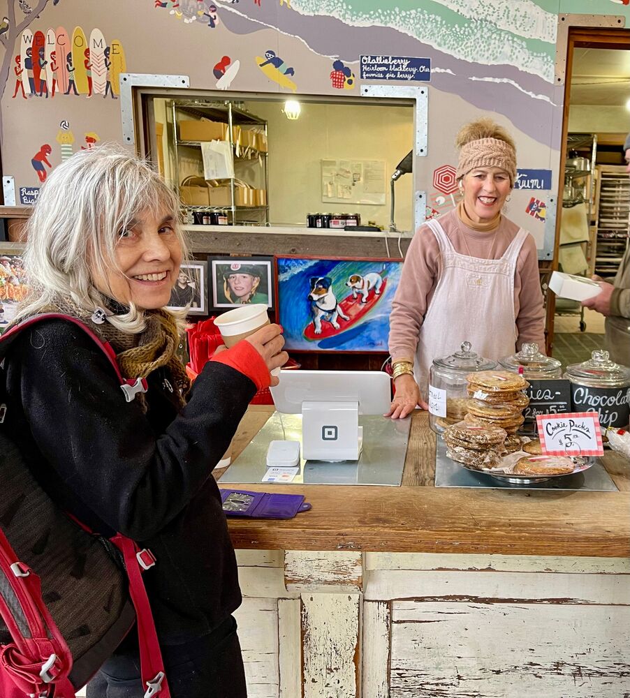
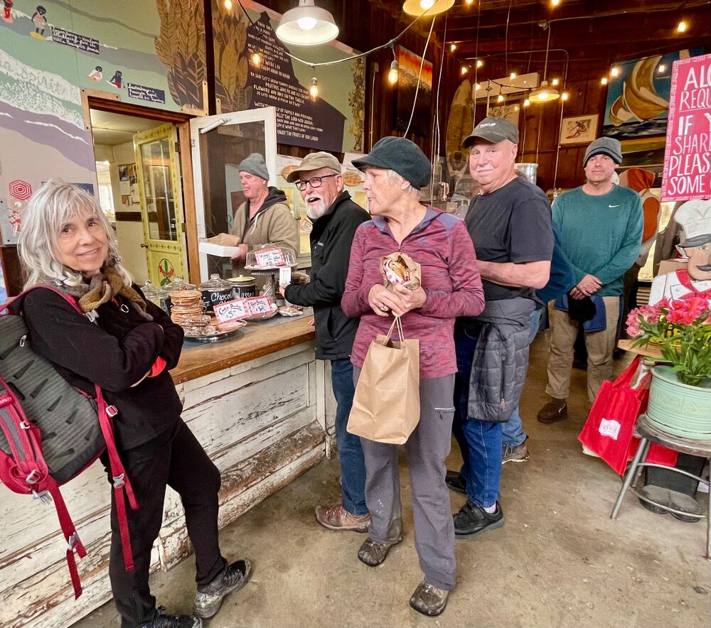
We all stopped on our way back at Pennington Farm for excellent pie and hot coffee.
Next Monday, we’ll do the Lower Rogue River weather permitting.
Happy Trails,
Rich

Hike Leader: Rich Stickle

Photos By: Linda, Kay, Randy

Posted in Layton Mine Ditch, Monday, Woods

Post navigation

← Older posts
Newer posts →
↑