↓
 
Ashland Hiking Group 
 
  • About Us
  • Posted Hikes
    • Recent
    • Monday
    • Wednesday
    • Friday
    • Friday Flower
  • Hike Schedules
    • Monday
      • Current
      • Previous
    • Wednesday
      • Current
      • Previous
    • Friday
      • Current
      • Previous
    • Friday Flower
      • Current
      • Previous
  • Locations
    • Lakes
      • Applegate Lake
      • Azalea Lake
      • Castle Lake
      • Crater Lake
      • Duck Lakes
      • East Boulder Lake
      • Emigrant Lake
      • Fish Lake
      • Kangaroo Lake
      • Lost Creek Lake
      • Mountain Lakes
      • Puck Lakes
      • Seven Lakes
      • Sky Lakes
      • Smith Lake
      • Squaw Lakes
      • Taylor Lake
    • PCT
      • Brown Mountain
      • Castle Crags
      • Cement Bluff
      • Etna Summit
      • Greensprings Area
      • Gumboot Boulder
      • Hyatt/Greensprings Summit
      • Hyatt Reservoir
      • Mt Ashland Area
      • Pilot Rock Area
      • Porcupine Lake
      • Red Buttes
    • Rivers & Streams
      • Elk Creek
      • Frog Pond
      • Kelsey Creek
      • Lower Rogue
      • Mill Creek Falls
      • Sacramento River
      • Squaw Valley Creek
      • Upper Rogue
      • Taylor Creek
    • Snow Shoes
      • Buck Prairie
      • Crater Lake
      • Deadwood
      • Great Meadow
      • Grouse Gap
      • Hyatt Lake
      • Moon Prairie
      • Mt Ashland
      • Mt Shasta
      • Pederson
      • Pilot Rock
      • Summit Sno-Park
    • Mountains & Summits
      • A>L
        • Abbot Butte
        • Anderson Butte
        • Arch Rock
        • Baldy Peak
        • Big Red Mountain
        • Bolt Mountain
        • Castle Crags
        • Collings Mountain
        • Frank Hill Road
        • Grayback Mountain
        • Grizzly Peak
        • Kerby Peak
      • M>Z
        • Mount Ashland
        • Mount Bailey
        • Mount Eddy
        • Mount Elijah
        • Mount Shasta
        • Pompadour Bluff
        • Roxy Ann
        • Squaw Peak
        • Stein Butte
        • Stukel Mountain
        • Table Rocks
        • Union Peak
        • Wagner Butte
    • Woods
      • Ashland City
      • Ashland Watershed
      • Bear Creek Greenway
      • Cathedral Hills
      • Denman Wildlife Refuge
      • East Applegate Ridge
      • Enchanted Forest
      • Greenhorn Park
      • Greensprings Area
      • High Lakes Trail
      • Horseshoe Ranch
      • Jack Ash
      • Jacksonville
      • Layton Mine Ditch
      • Pacifica
      • Sterling Mine Ditch
      • Steves 40 Acres
    • Miscellaneous
  • Images
    • Resize @ 1000H ,1000V & med before uploading
  • Log In

Post navigation

← Older posts
Newer posts →

CATHEDRAL HILLS

Ashland Hiking Group Posted on February 28, 2024 by Francie SkinnerMarch 5, 2024

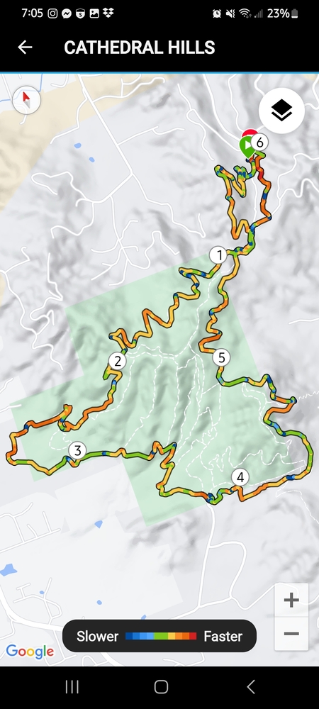
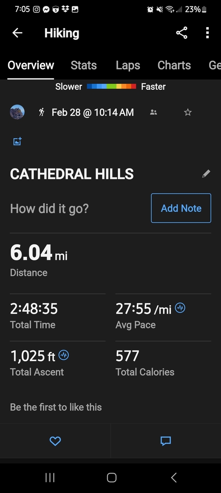
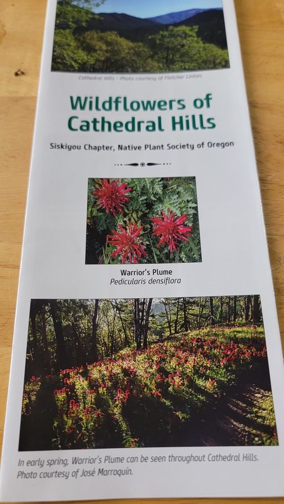
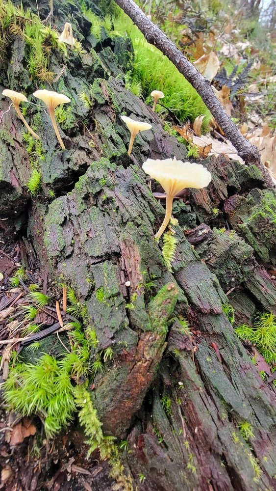
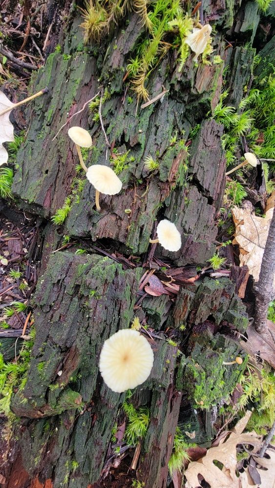
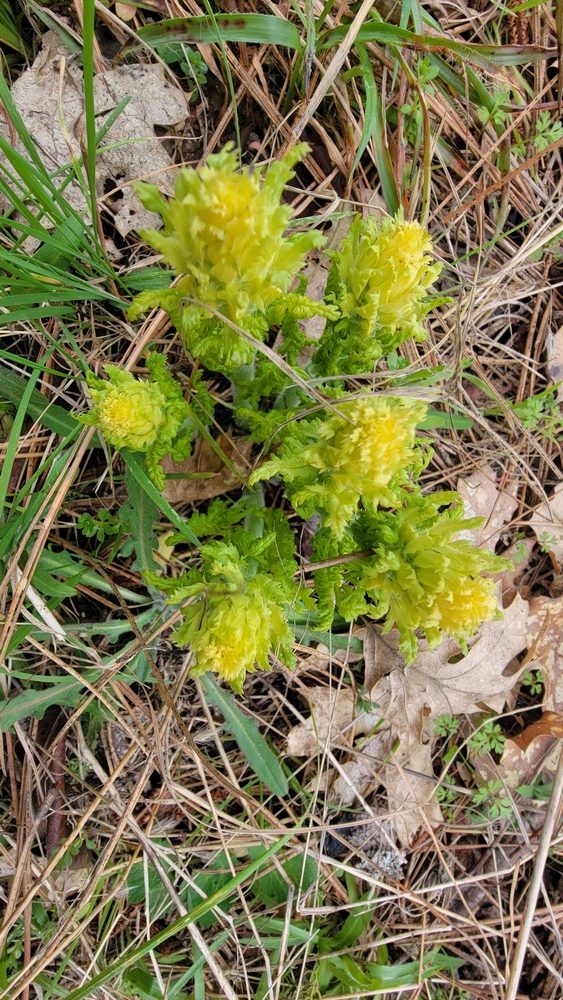
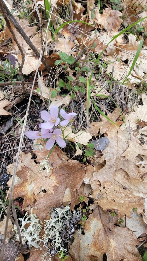
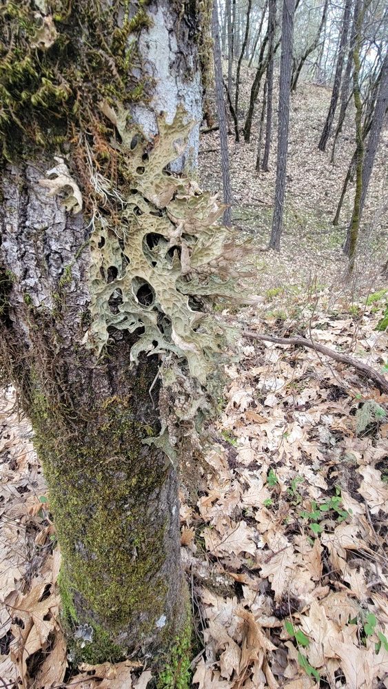
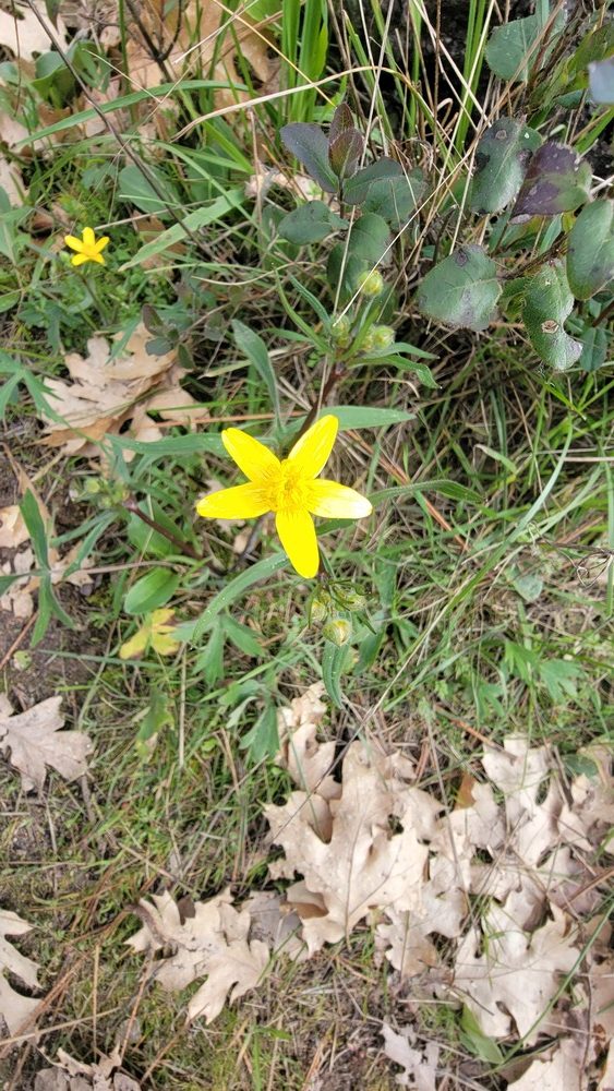
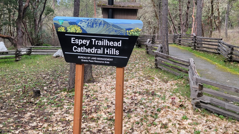
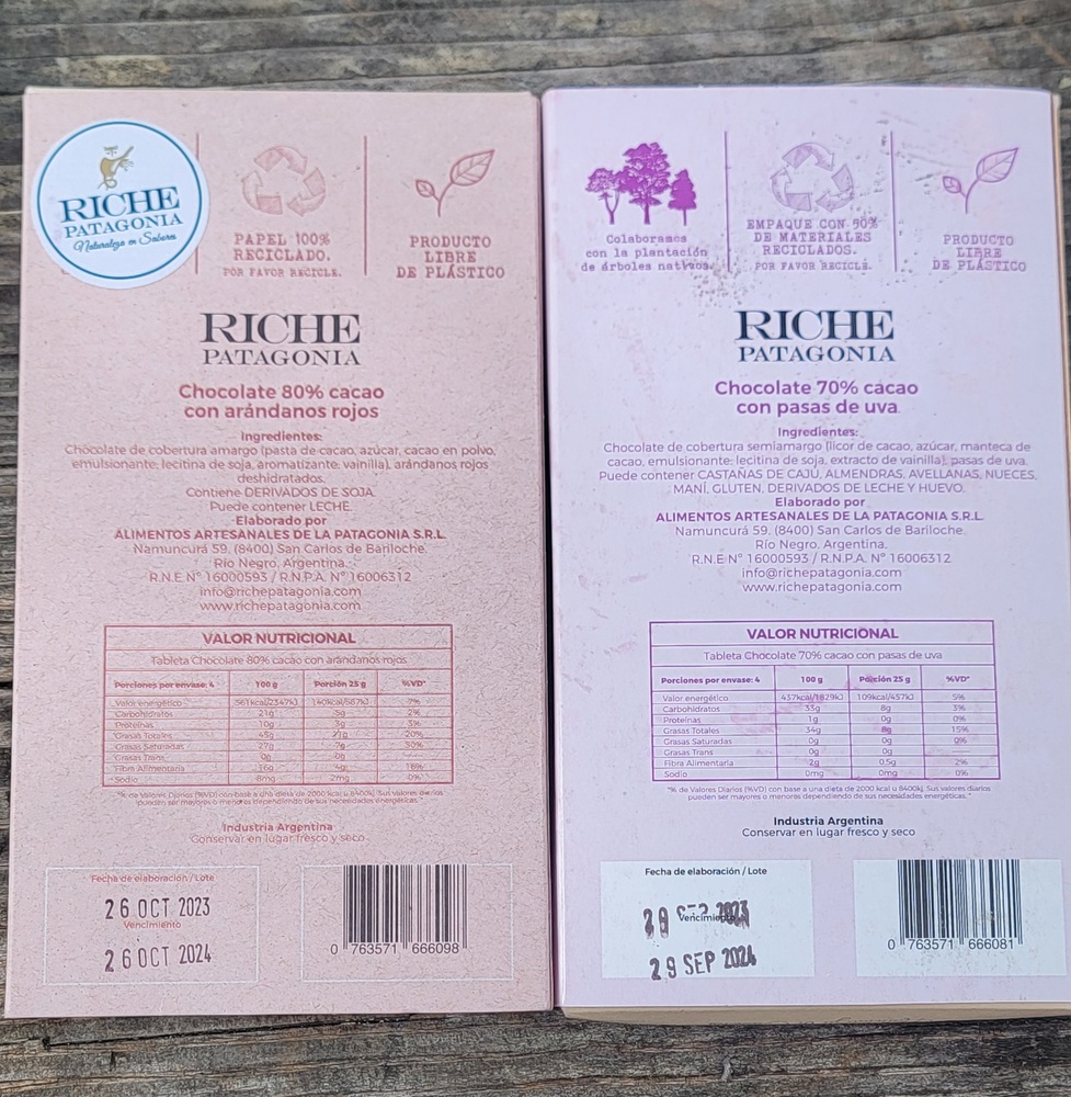
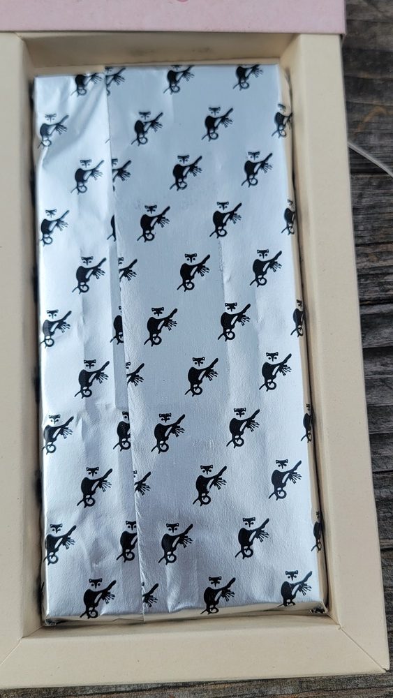
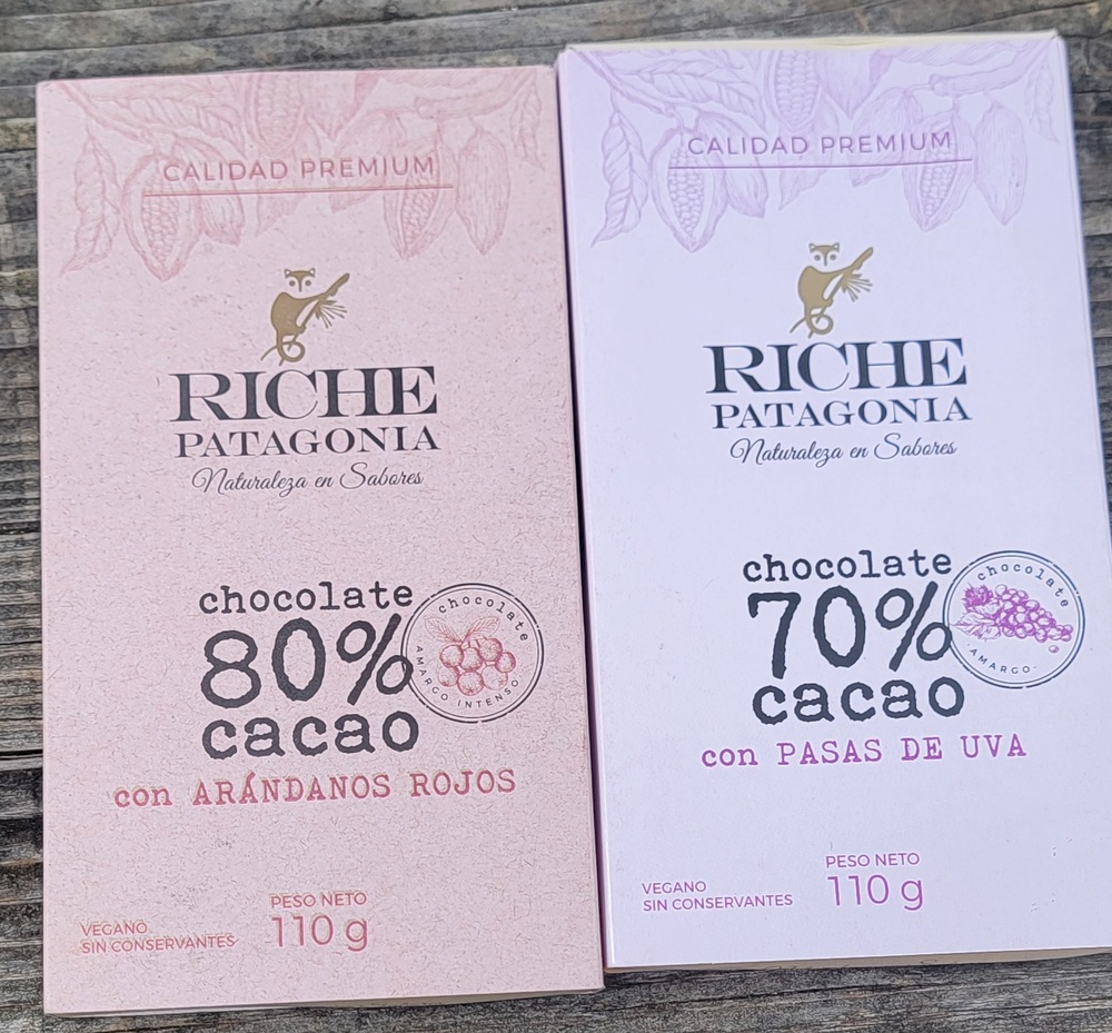
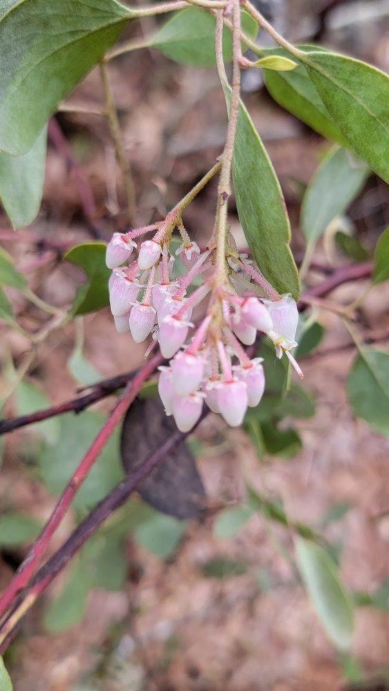
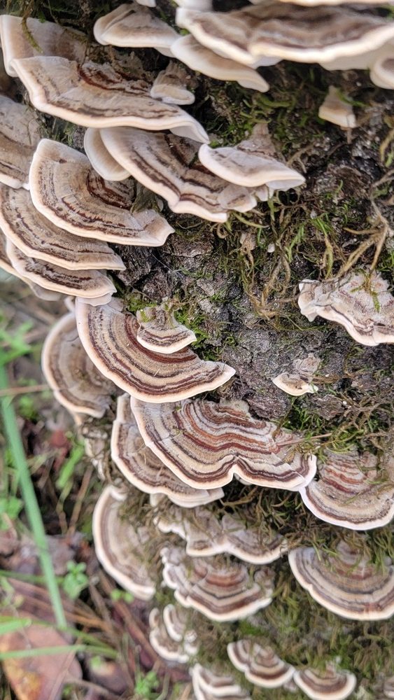
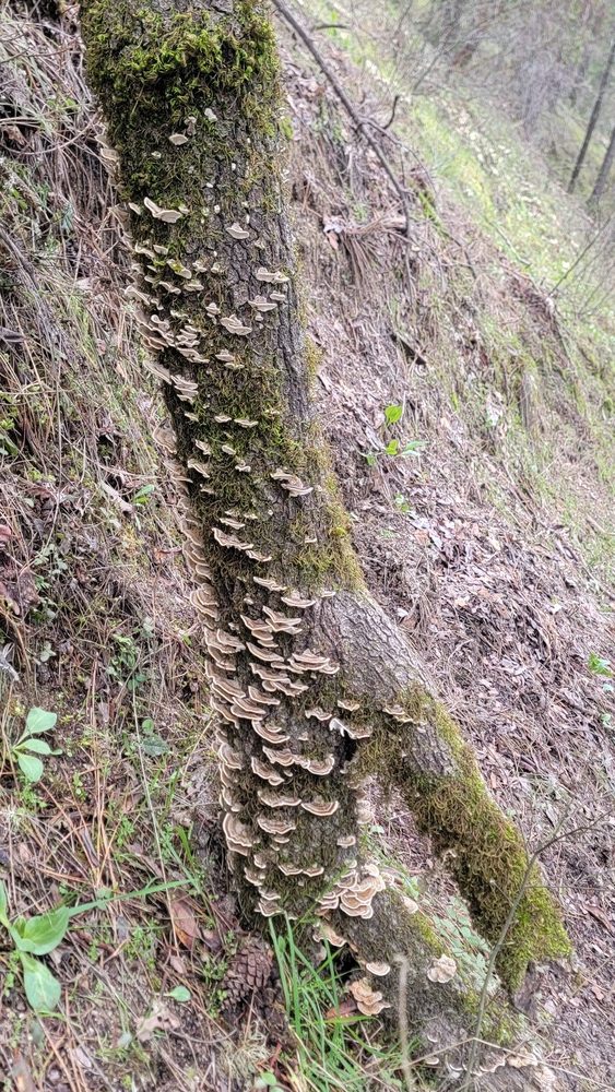
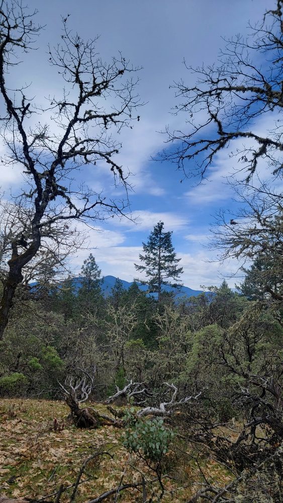
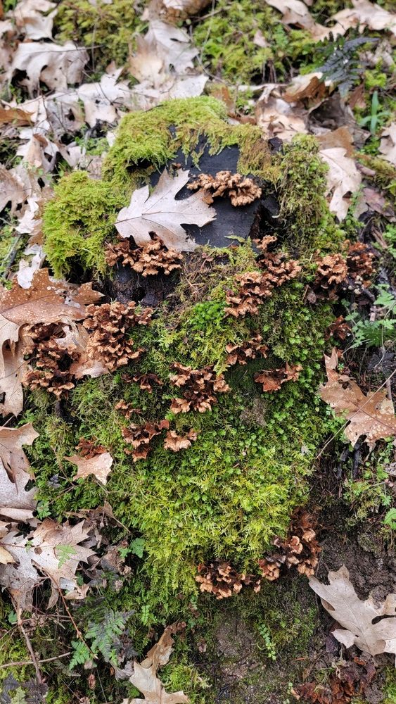
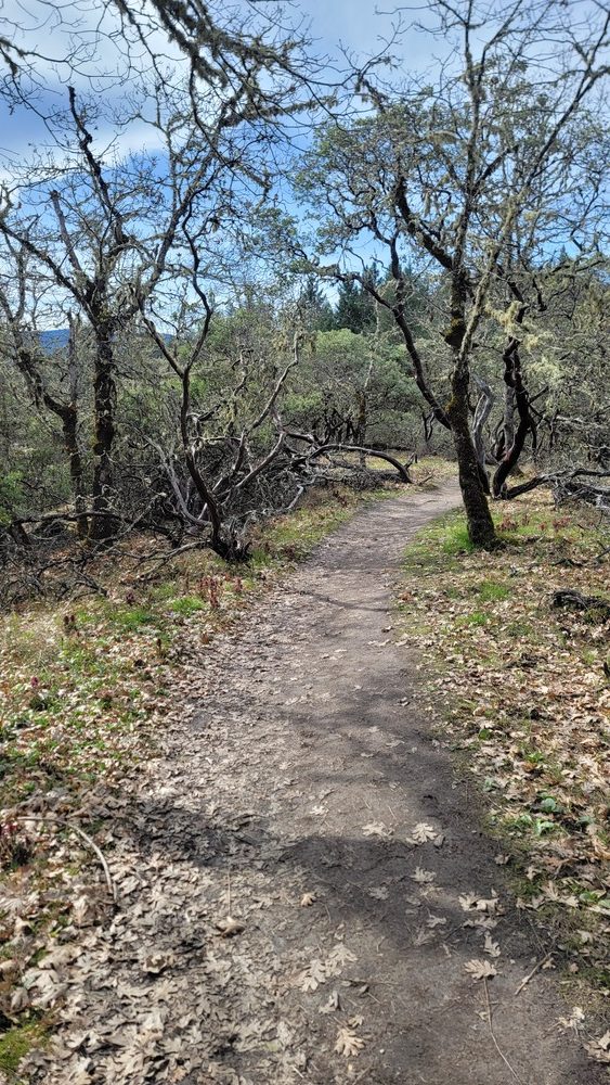
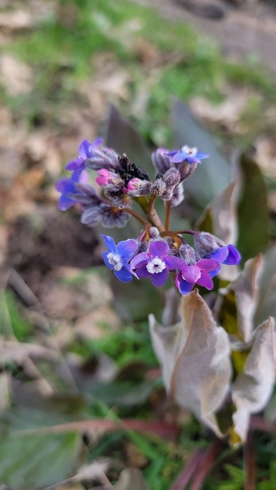
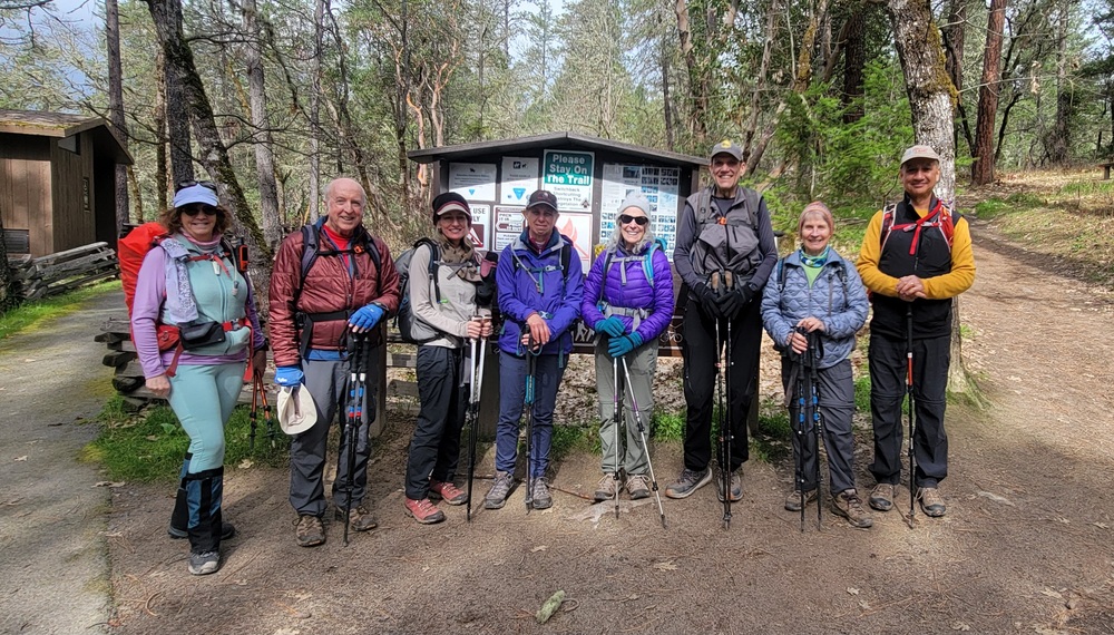
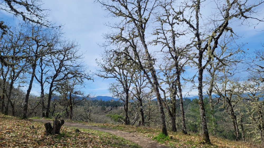
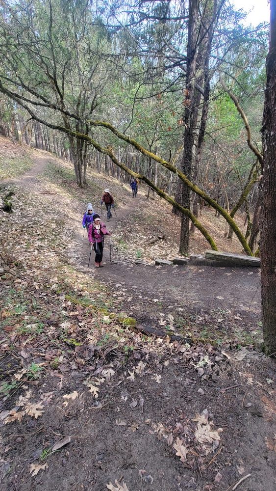
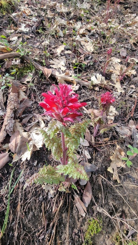
On Wednesday February 28th we had 8 hikers come out to hike in Grants Pass at Cathedral Hills. We arrived at the Sky Crest trailhead and started out hiking on the Madrone Trail. We immediately saw many Warrior’s Plume ~ Pedicularis densiflora in bloom. There were also some Grass Widow, Hounds Tongue and Western Buttercup. There were also some interesting mushrooms and lichen to see. We then connected to the Timberline Trail, The Outback Loop, Ponderosa Pine Loop and back to the Outback Loop. When we reached the Espey trailhead, I joked that I had reserved a table for 8. We had our lunch at the picnic table that perfectly seats 8 people. Barry shared some wonderful Riche Patagonia chocolate from his trip to South America. After lunch, we went on the Backside Loop, to Lower Hogback, Cloverlawn Loop, Hogback, Outback and finished on the Sky Crest Trail. We also saw a few flowers that looked like Warrior’s Plume, but were yellow in color. There were also some flowers that I believe were Milkmaids ~ Cardimine californica. The rain held off until the last quarter of a mile and we were only sprinkled on. It was excellent weather otherwise.

Hike Leader: Francie

Photos By: Francie

Posted in Wednesday, Woods

Post navigation

← Older posts
Newer posts →
↑