↓
 
Ashland Hiking Group 
 
  • About Us
  • Posted Hikes
    • Recent
    • Monday
    • Wednesday
    • Friday
    • Friday Flower
  • Hike Schedules
    • Monday
      • Current
      • Previous
    • Wednesday
      • Current
      • Previous
    • Friday
      • Current
      • Previous
    • Friday Flower
      • Current
      • Previous
  • Locations
    • Lakes
      • Applegate Lake
      • Azalea Lake
      • Castle Lake
      • Crater Lake
      • Duck Lakes
      • East Boulder Lake
      • Emigrant Lake
      • Fish Lake
      • Kangaroo Lake
      • Lost Creek Lake
      • Mountain Lakes
      • Puck Lakes
      • Seven Lakes
      • Sky Lakes
      • Smith Lake
      • Squaw Lakes
      • Taylor Lake
    • PCT
      • Brown Mountain
      • Castle Crags
      • Cement Bluff
      • Etna Summit
      • Greensprings Area
      • Gumboot Boulder
      • Hyatt/Greensprings Summit
      • Hyatt Reservoir
      • Mt Ashland Area
      • Pilot Rock Area
      • Porcupine Lake
      • Red Buttes
    • Rivers & Streams
      • Elk Creek
      • Frog Pond
      • Kelsey Creek
      • Lower Rogue
      • Mill Creek Falls
      • Sacramento River
      • Squaw Valley Creek
      • Upper Rogue
      • Taylor Creek
    • Snow Shoes
      • Buck Prairie
      • Crater Lake
      • Deadwood
      • Great Meadow
      • Grouse Gap
      • Hyatt Lake
      • Moon Prairie
      • Mt Ashland
      • Mt Shasta
      • Pederson
      • Pilot Rock
      • Summit Sno-Park
    • Mountains & Summits
      • A>L
        • Abbot Butte
        • Anderson Butte
        • Arch Rock
        • Baldy Peak
        • Big Red Mountain
        • Bolt Mountain
        • Castle Crags
        • Collings Mountain
        • Frank Hill Road
        • Grayback Mountain
        • Grizzly Peak
        • Kerby Peak
      • M>Z
        • Mount Ashland
        • Mount Bailey
        • Mount Eddy
        • Mount Elijah
        • Mount Shasta
        • Pompadour Bluff
        • Roxy Ann
        • Squaw Peak
        • Stein Butte
        • Stukel Mountain
        • Table Rocks
        • Union Peak
        • Wagner Butte
    • Woods
      • Ashland City
      • Ashland Watershed
      • Bear Creek Greenway
      • Cathedral Hills
      • Denman Wildlife Refuge
      • East Applegate Ridge
      • Enchanted Forest
      • Greenhorn Park
      • Greensprings Area
      • High Lakes Trail
      • Horseshoe Ranch
      • Jack Ash
      • Jacksonville
      • Layton Mine Ditch
      • Pacifica
      • Sterling Mine Ditch
      • Steves 40 Acres
    • Miscellaneous
  • Images
    • Resize @ 1000H ,1000V & med before uploading
  • Log In

Post navigation

← Older posts
Newer posts →

Roxy Ann Peak

Ashland Hiking Group Posted on April 22, 2024 by Randy BryanApril 23, 2024

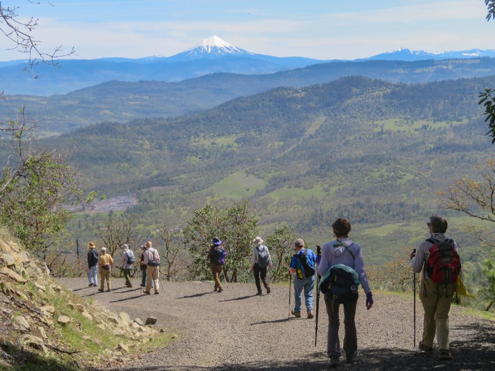
15 hikers met at the top parking lot on Roxy Ann Peak for a hike up to the summit. It was a beautiful spring day with views of the Rogue Valley and the surrounding mountains.

We headed up the gated dirt road to start the 1000′ gain to the top. The road had dried from previous rains and the group was in good spirits as we continued up.

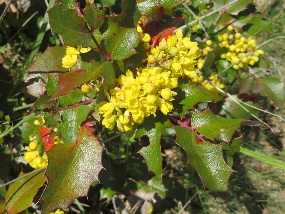
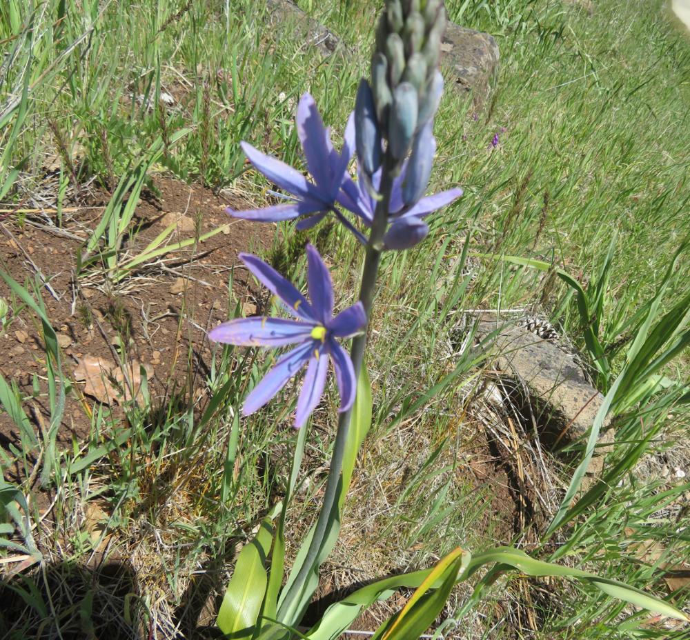
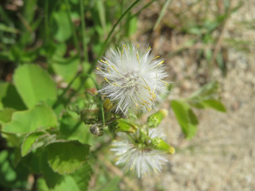
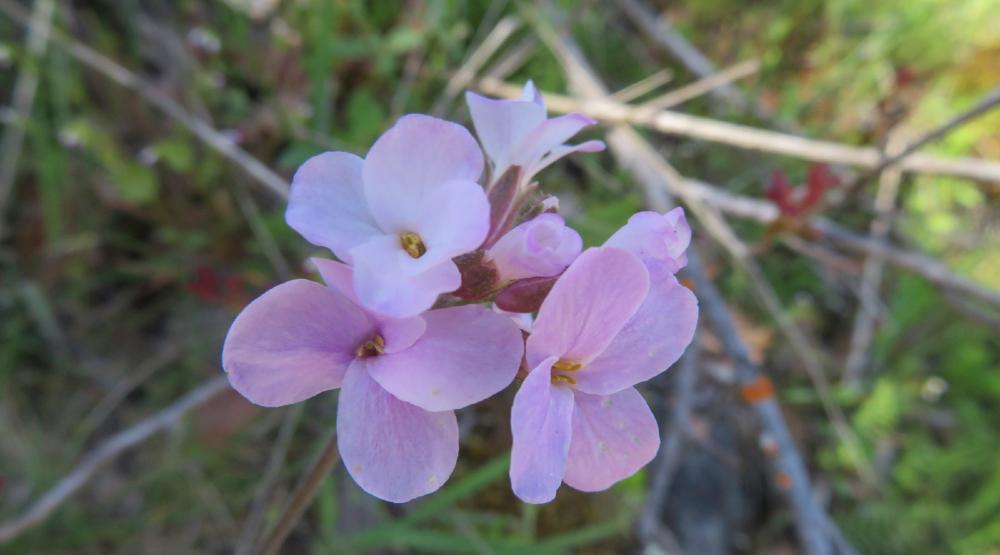
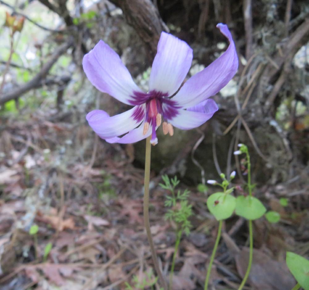
The color was provided by spring wildflowers just off the road.

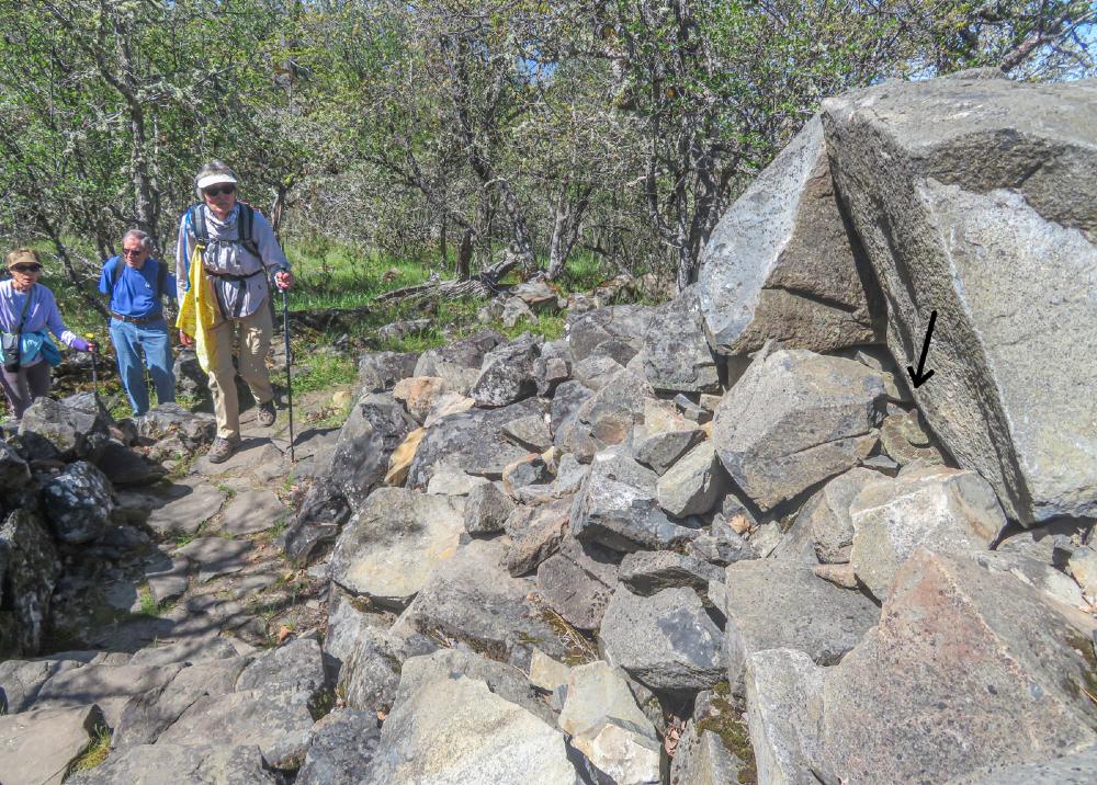
About 30 minutes into the hike we decided to take the Ponderosa Trail off the road for a gentler incline to the top. New fine gravel had been laid on the trail, and we took its switchbacks up to the summit.

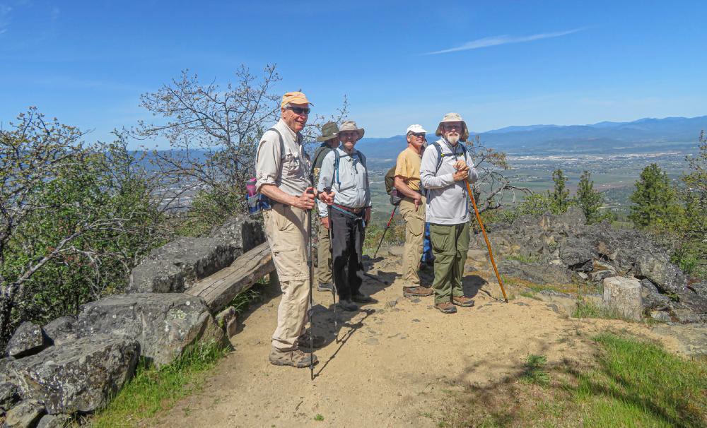
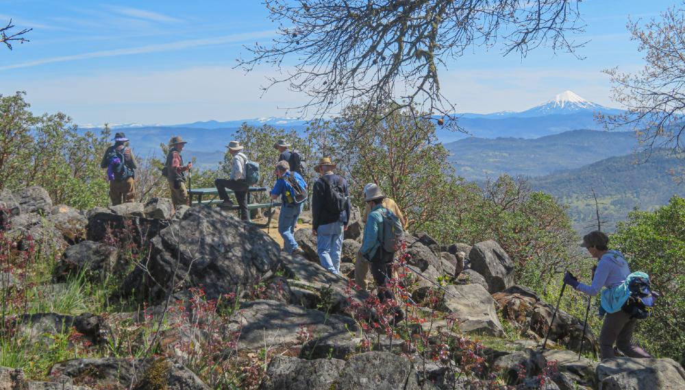
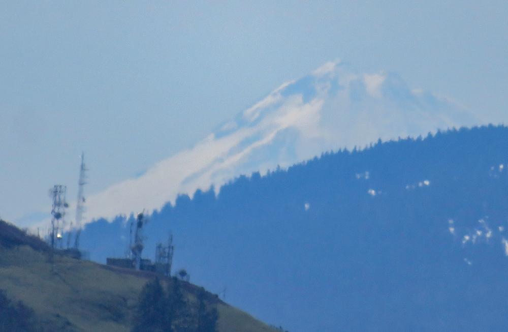
On this calm mild day, we headed across the top of the summit past the two communication towers to an old picnic table then out to the north-facing overlook. There we got our group picture sitting on various big rocks. And had a snack, since it was only 10:30.

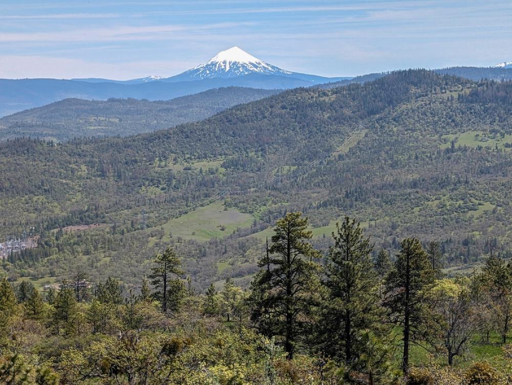
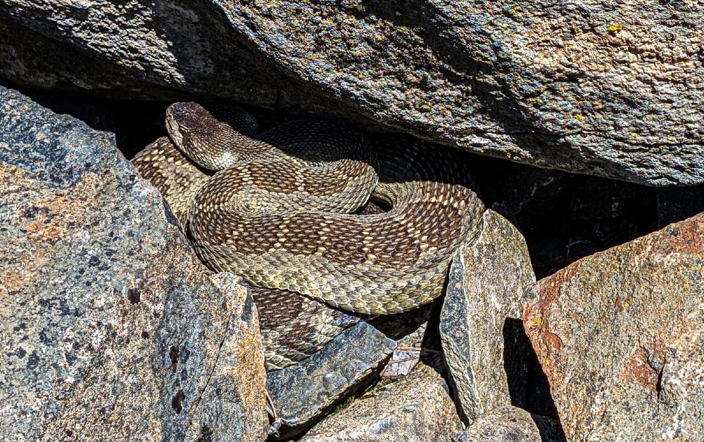
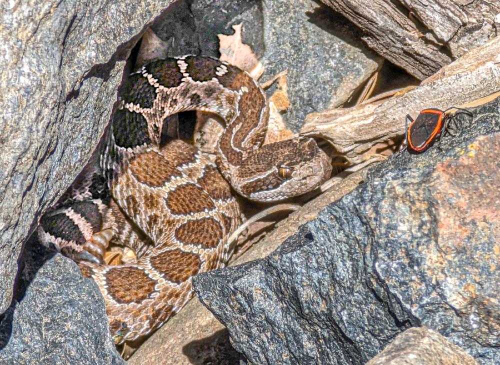
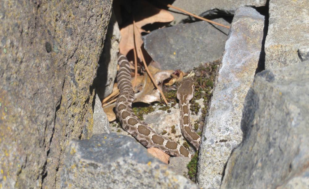
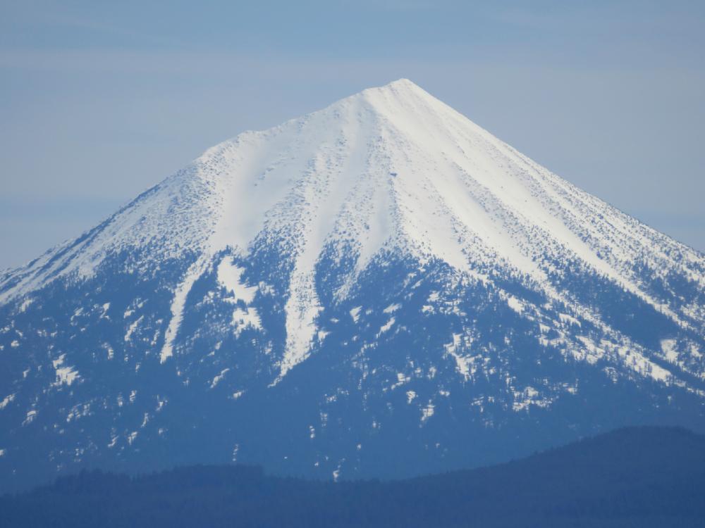
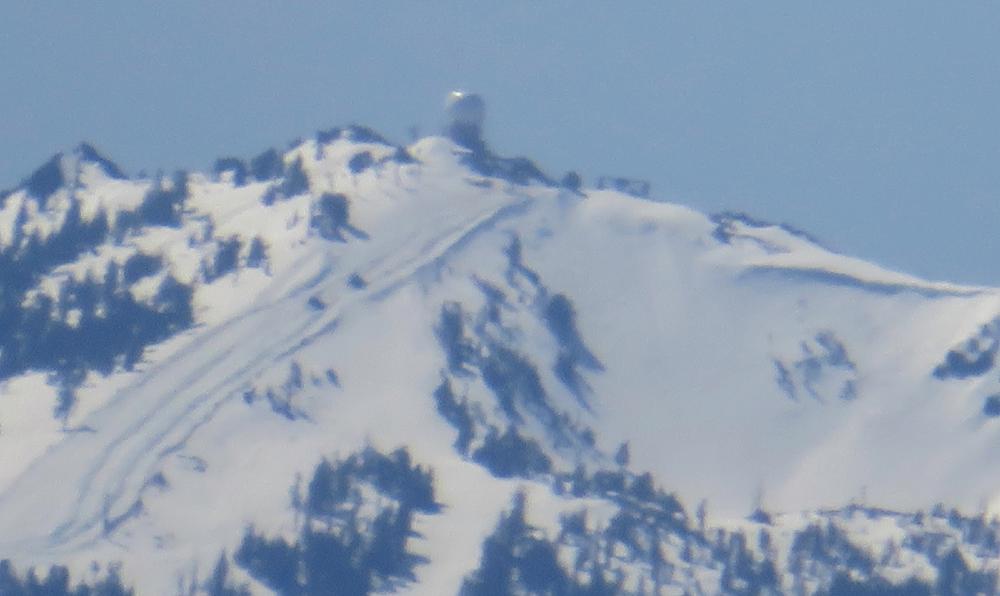
Then we hiked back across the summit to the lookout facing south with a great view of Mt McLoughlin. This lookout is raised up on a rocky outcropping and in one of the crevices heading back down the steps we met a Rattlesnake with her rattle shaking! After we got over being startled, we learned why she was warning us to stay away. She had her offspring with her in the rocks.

We took the road back down, but stopped at one more lookout to get an aerial view of Agate Lake.

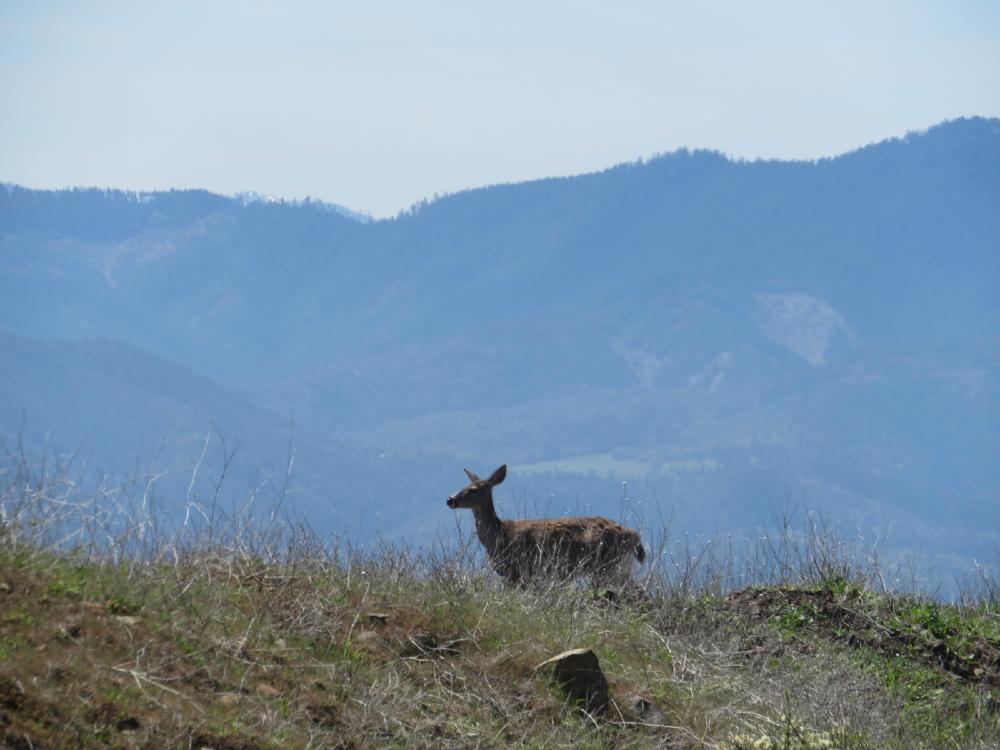
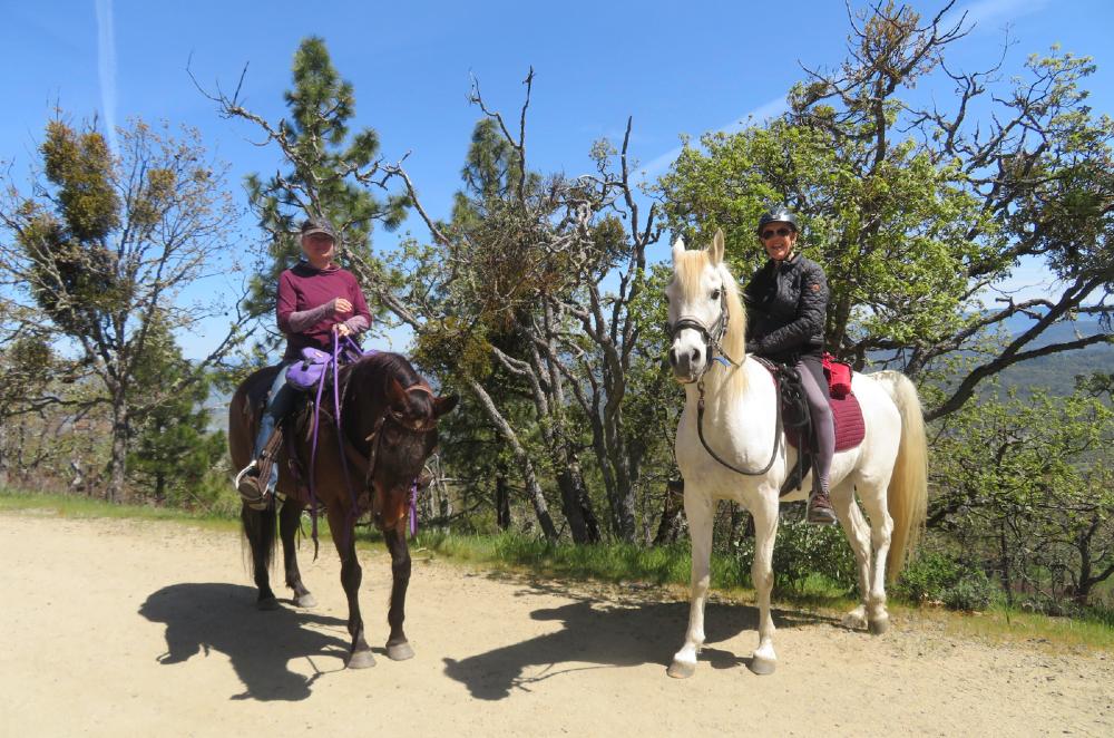
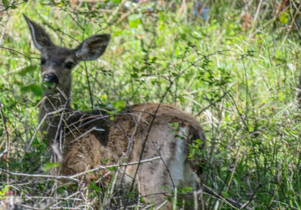
We saw six young deers run across the road in front of us, And our nature photographer was thrilled to meet two women on horseback that she walked back to parking with.

Some of us planned to go to Roxy Ann Winery post-hike but they were closed for remodeling, we went down into Medford and stopped at Common Block Brewery for outdoor refreshments under their big tent.

Our hike up and down the Peak was just under 5 miles.

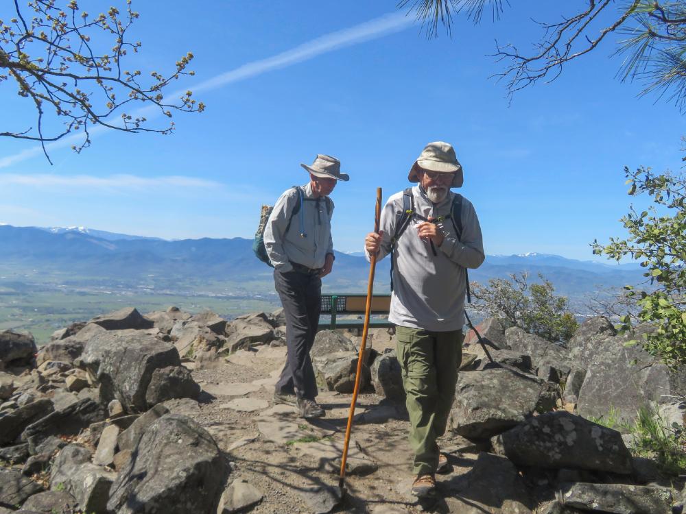
Hike Leader: Rich Stickle

Photos By: Linda, Randy

Posted in Monday, Mountains & Summits, Roxy Ann

Post navigation

← Older posts
Newer posts →
↑