Deadfall Lakes and Mt Eddy
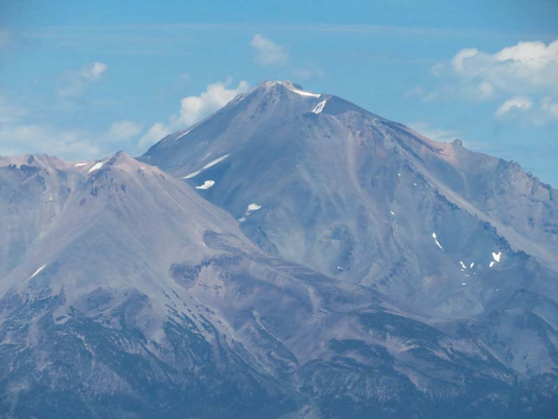
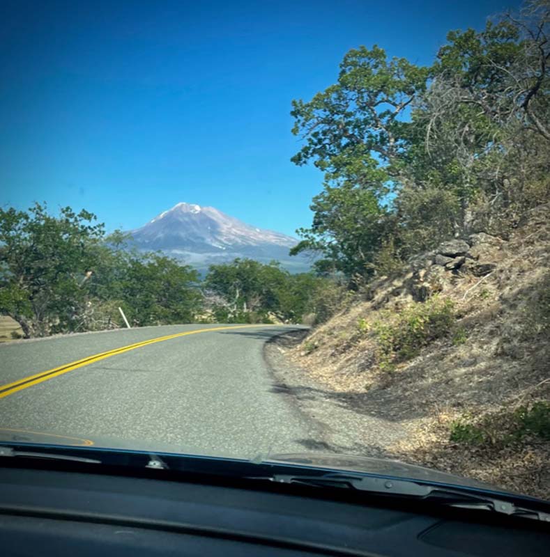
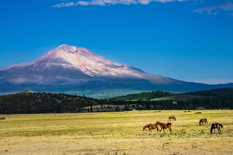
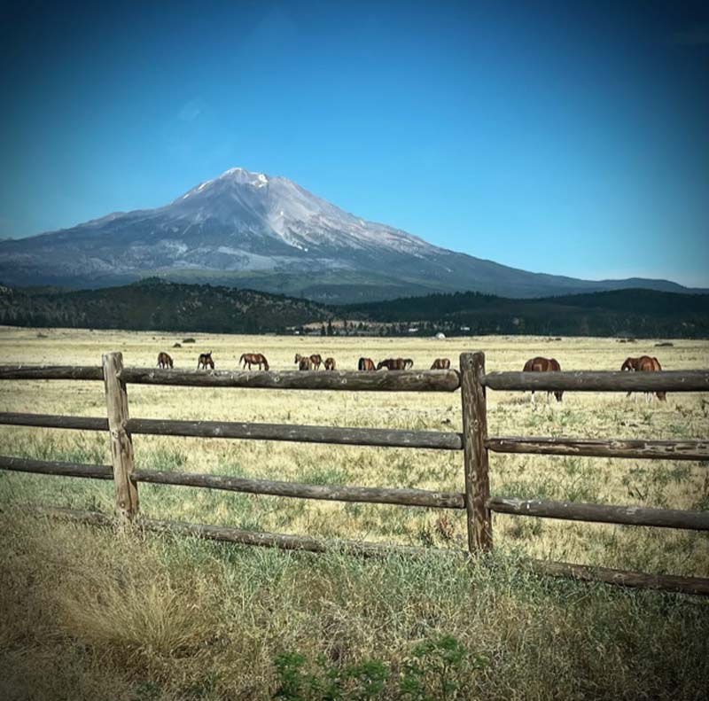
We noticed that the smoke in California had greatly improved since our scouting trip last Wednesday. We could actually see the hazy image of Mt. Shasta!
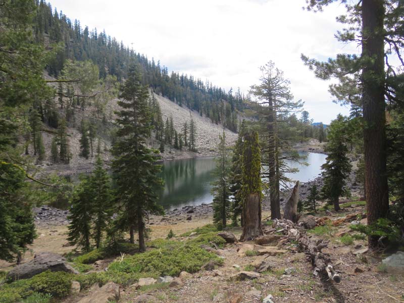
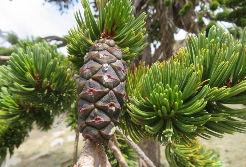
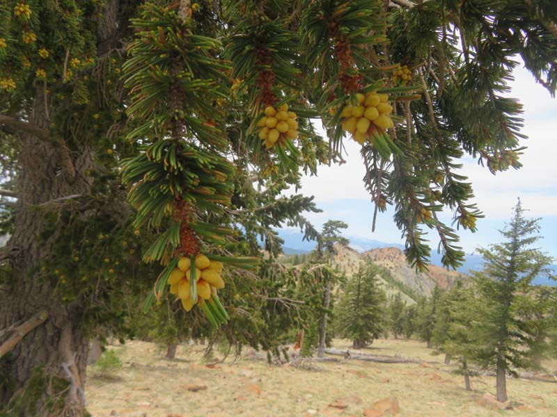
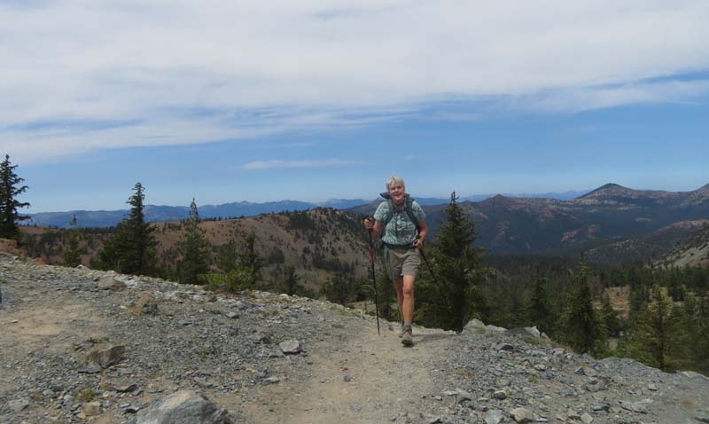
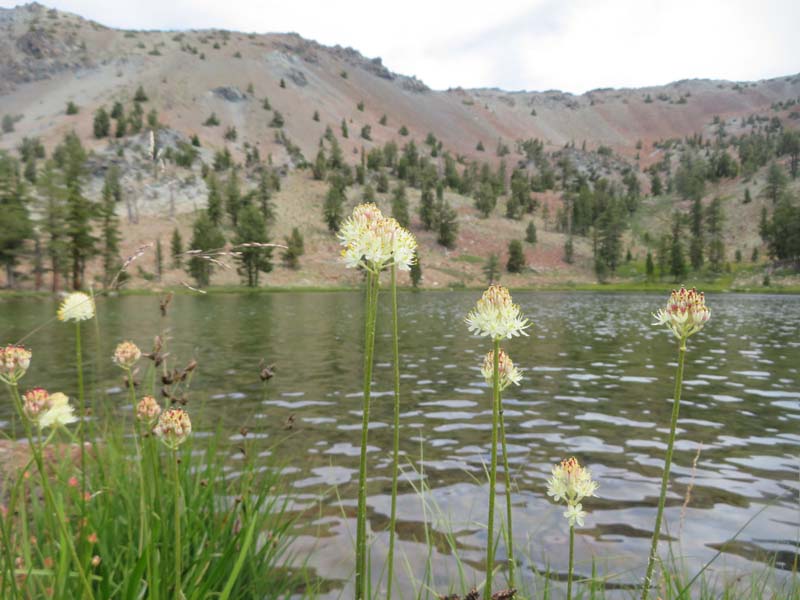
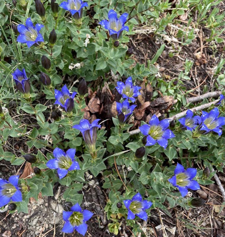
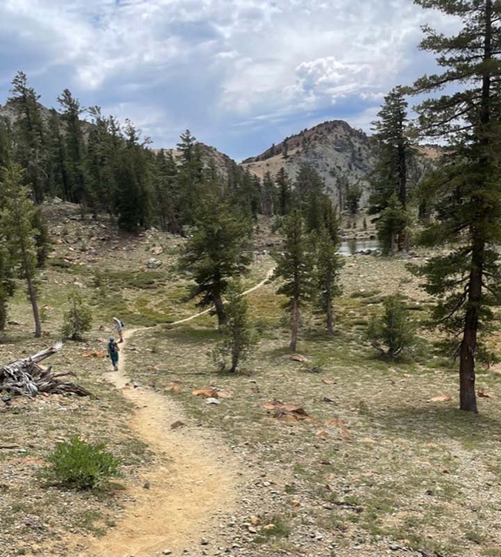
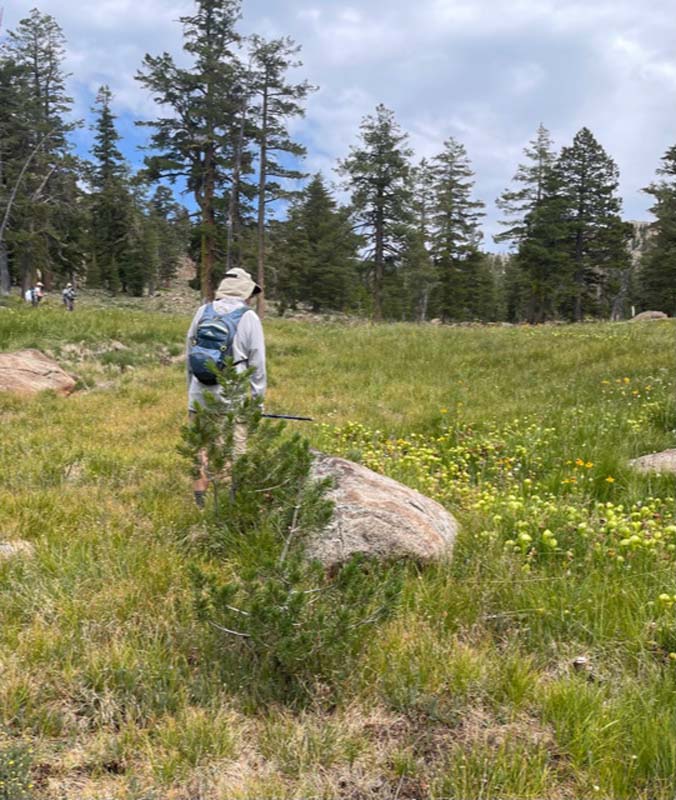
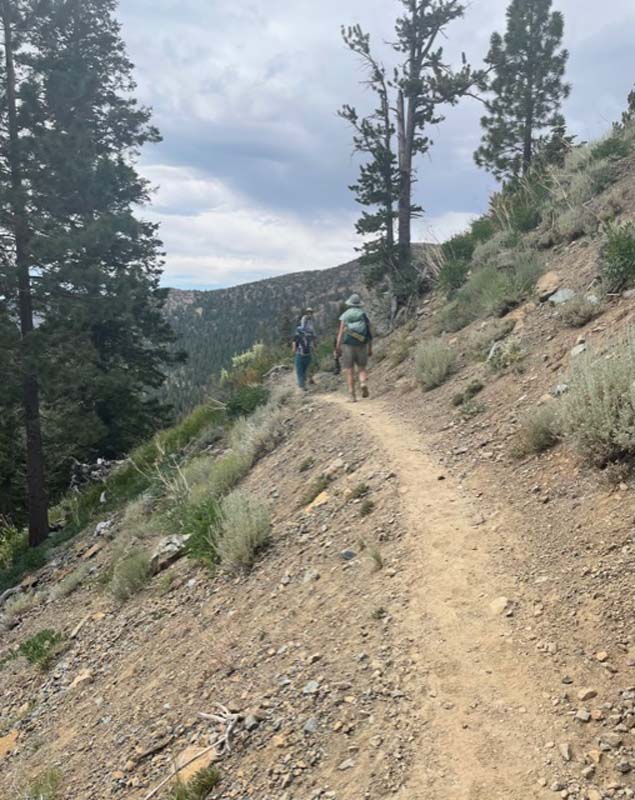
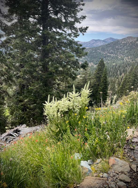
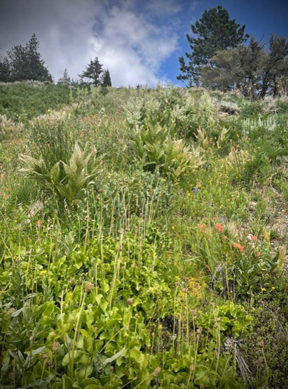
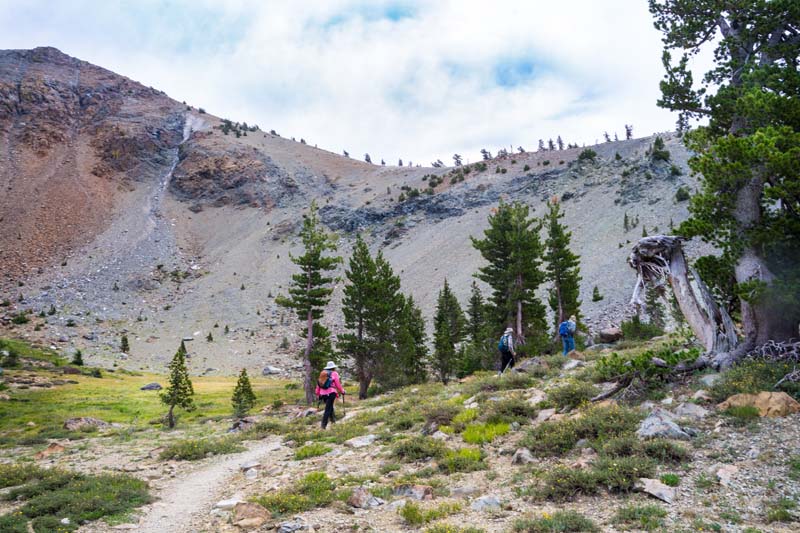
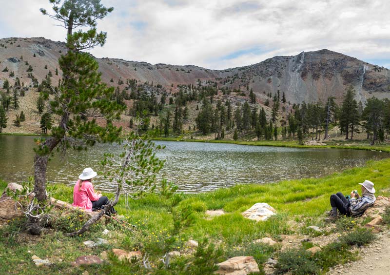
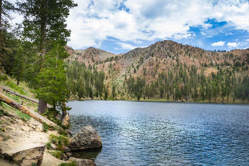
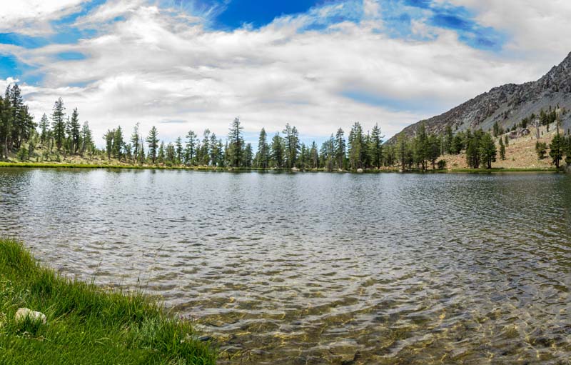
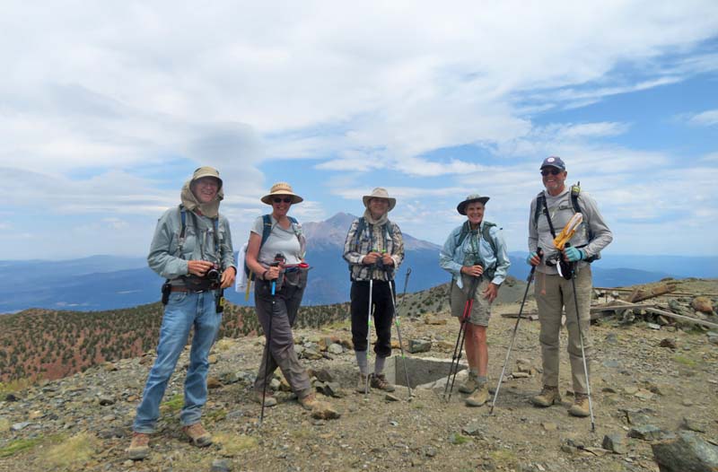
Nine of us headed south on I-5 at 8 am Monday. The sky was clear and temps on the trail above 6,000′ were in the 70s. We took the upper trail from the first parking lot; which is 9.3 miles up Road 17. It’s a gentle rise through forests and along flowering rocky hillsides and down into meadows, about 2.5 miles before you reach Middle Deadfall Lake, then another 1.5 miles up to Upper Deadfall Lake (7,800′) and our lunch spot at the base of Mt Eddy.
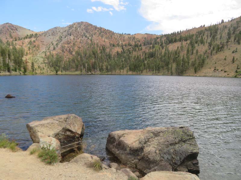
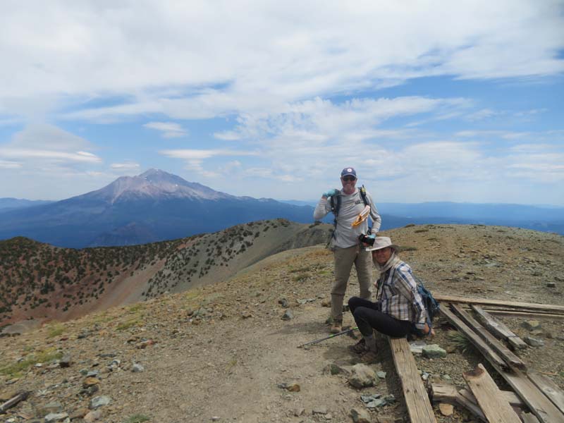
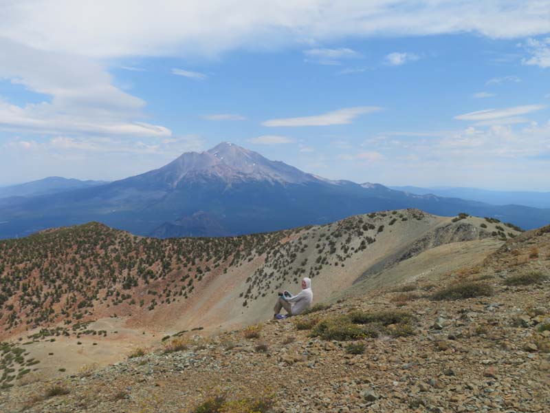
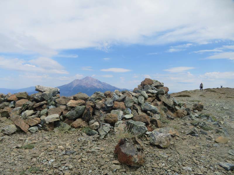
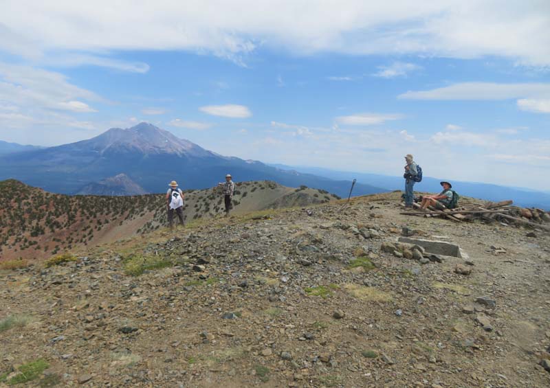
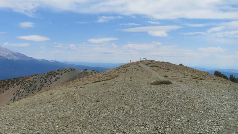
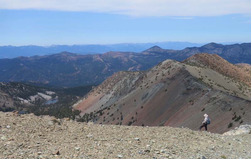
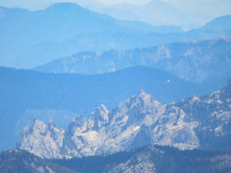
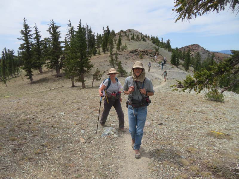
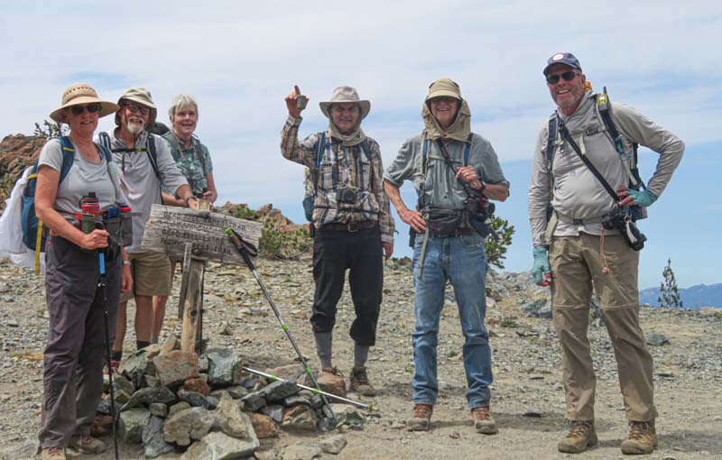
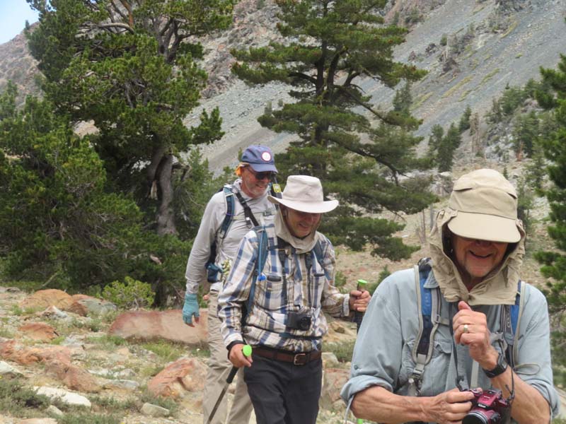
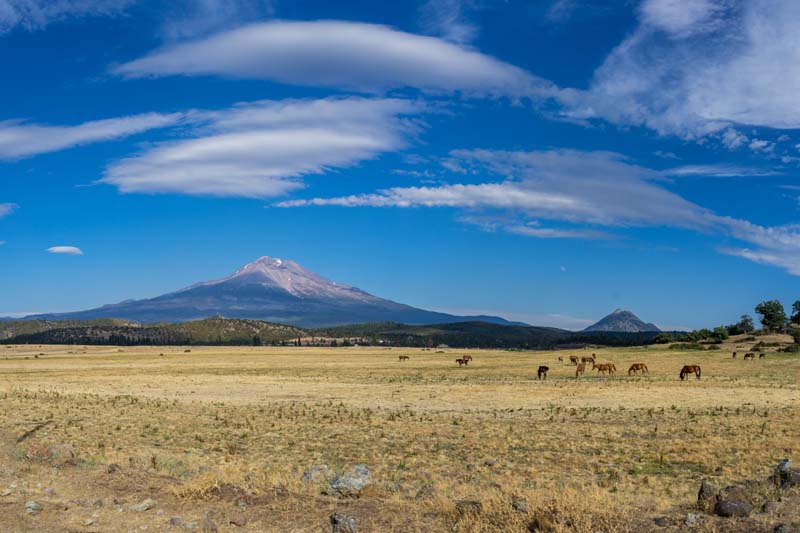
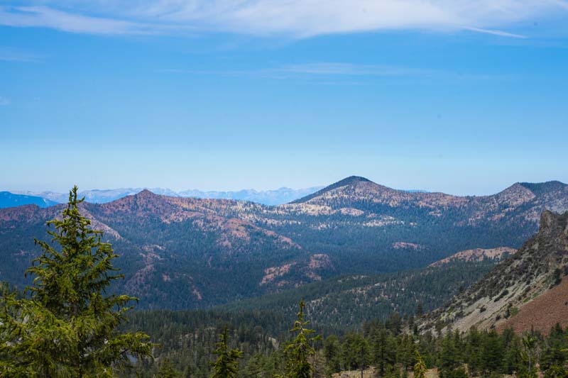
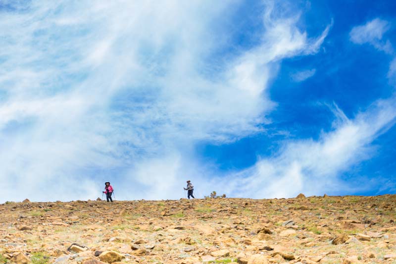
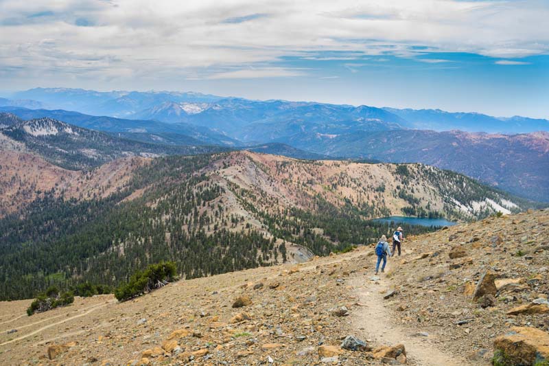
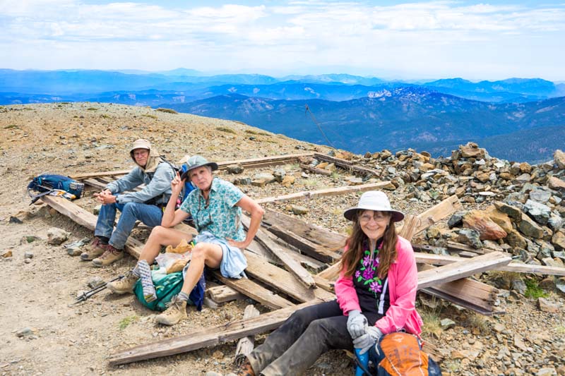
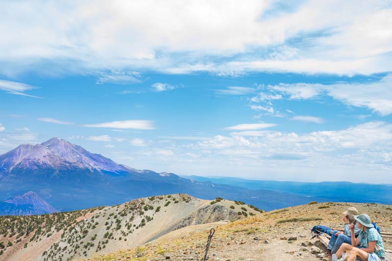
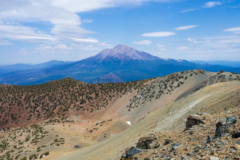
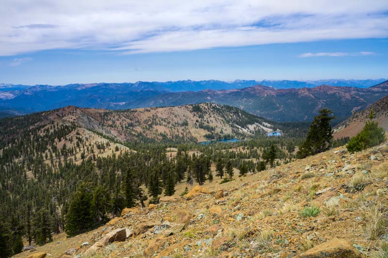
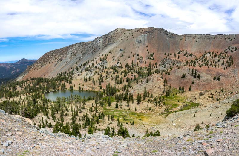
After lunch, eight went up to the saddle (Little Eddy at 8,400′) with views of three mountain lakes below. Then, to my surprise, six decided to head up to Mt. Eddy’s summit at 9,049′. The gravelly trail rises about 650′ over a mile of about 50 switchbacks to the top. Views can be seen in some of the posted photos.
Once we all gathered again at Upper Deadfall Lake, Jerry went in for a swim in the chilly waters, becoming a member of the Mt. Eddy Biathlon Club! Not to be out done, Linda and Bob headed back down the trail for relaxing swims in big Deadwood Lake.
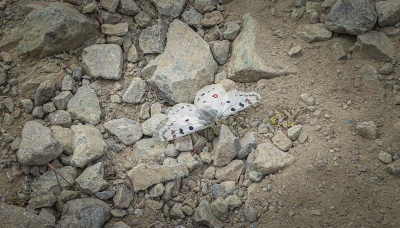
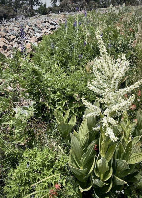
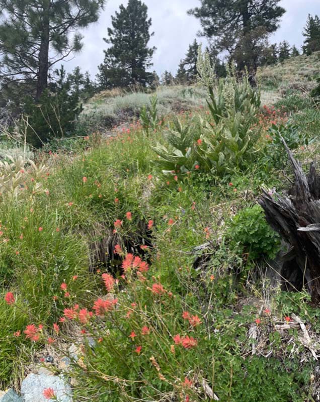
The rest of us followed and stopped just before the lower lake to admire the Cobra Lilies or Pitcher Plants (Darlintonia) growing along creeks running through the meadow.
Then we finished our hike back to the cars under cloudy skies and calm smoke free air.
A very satisfying hike of 10 miles and 2,000′ gain for thoses who went up to the top of Mt. Eddy.
Next week we’ll hike to Boundary Springs; the source of the Rogue River.
Hike Leader: Rich Stickle
Photos By: Bob, Darryl, Jerry, Linda, Randy