Black Butte
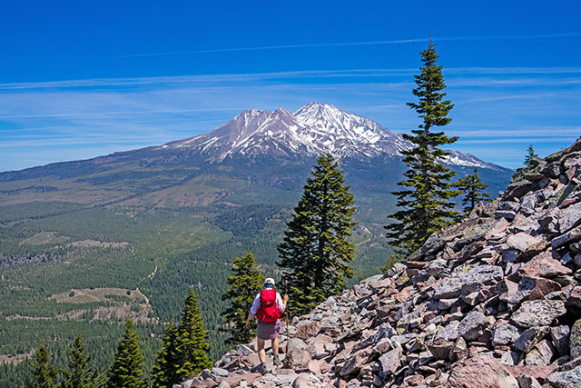
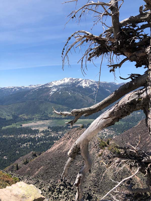
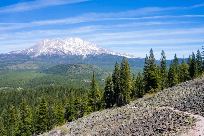
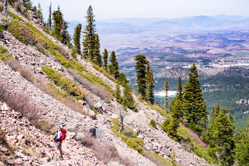
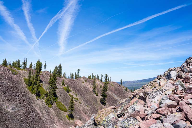
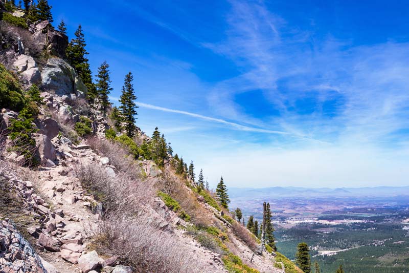
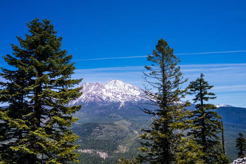
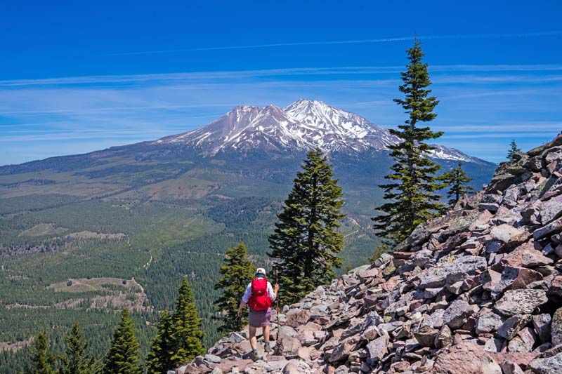
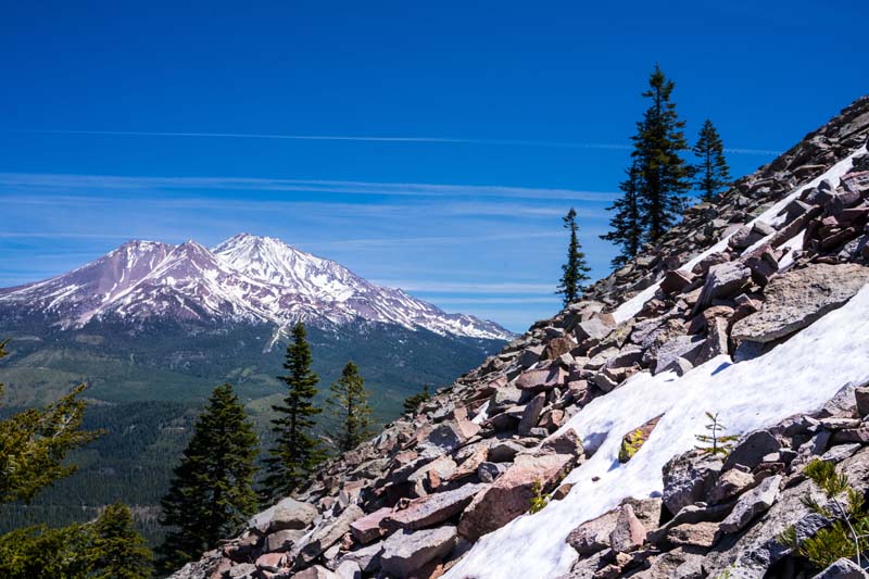
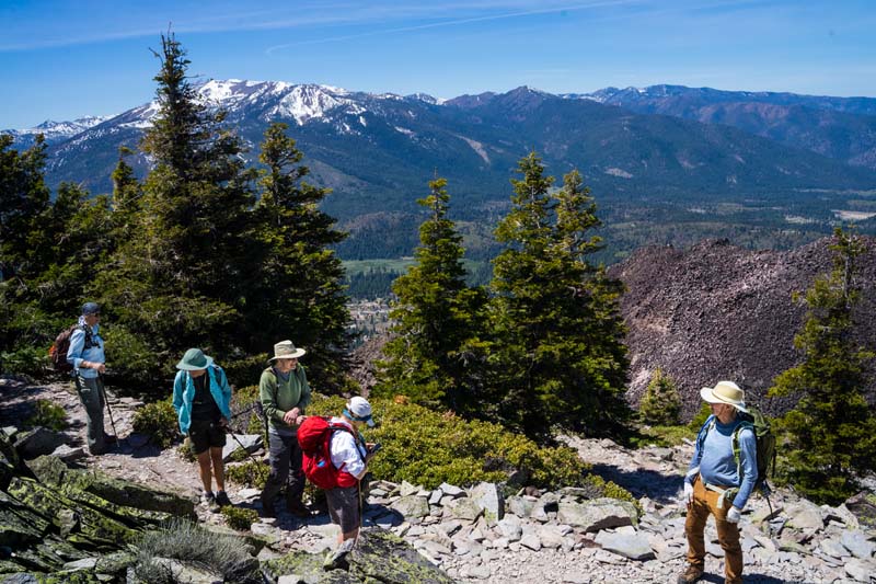
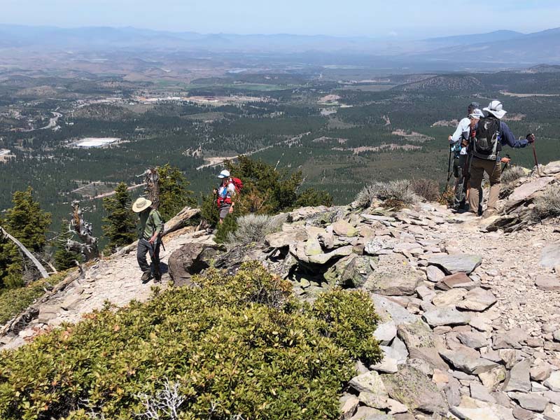
We headed south to hike up to the top of Black Butte under almost clear skies and a slight breeze. The winds did pick up a bit and were a bit challenging at certain points along the trail. There was one 15 feet long stretch of snow on a steep slope, but we all managed to get by it.
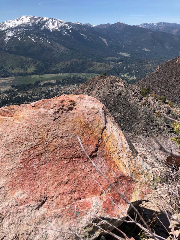
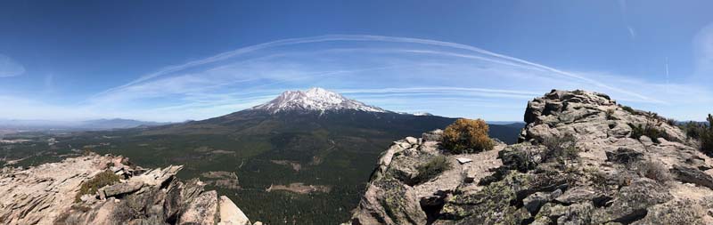
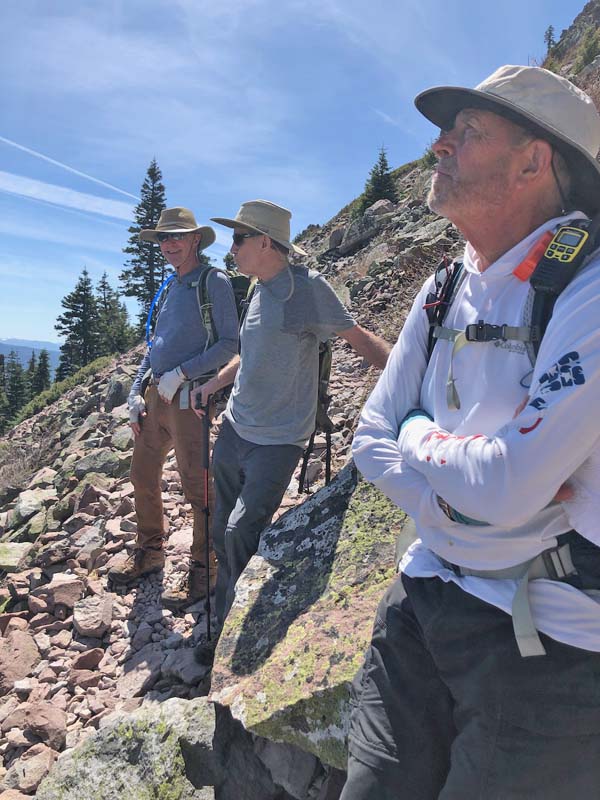
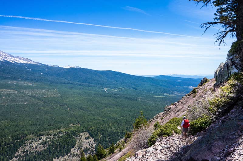
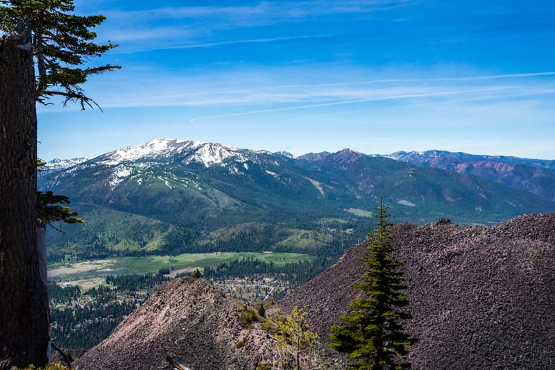
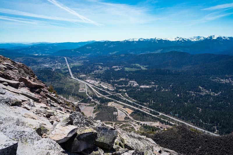
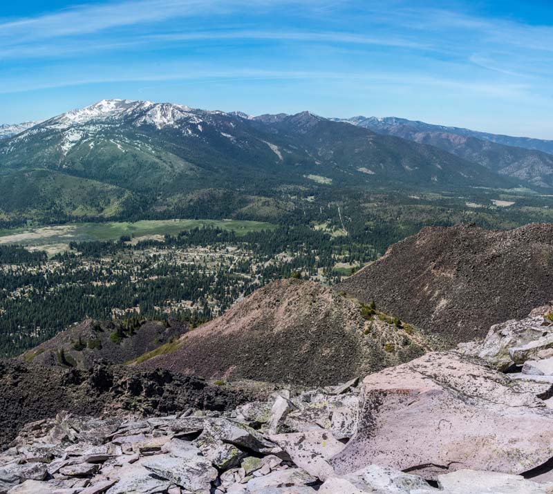
Lunch on top was great, with amazing 360 degrees views. As we headed back to the cars, a guy passed us running up and then down the trail, which made our sore feet and bodies from walking over the rocks/boulders feel even worse, but what can we say.
Keeley Kirkendall
Bob Hutton wrote the below about Shasta and Black Butte, which we found fascinating.
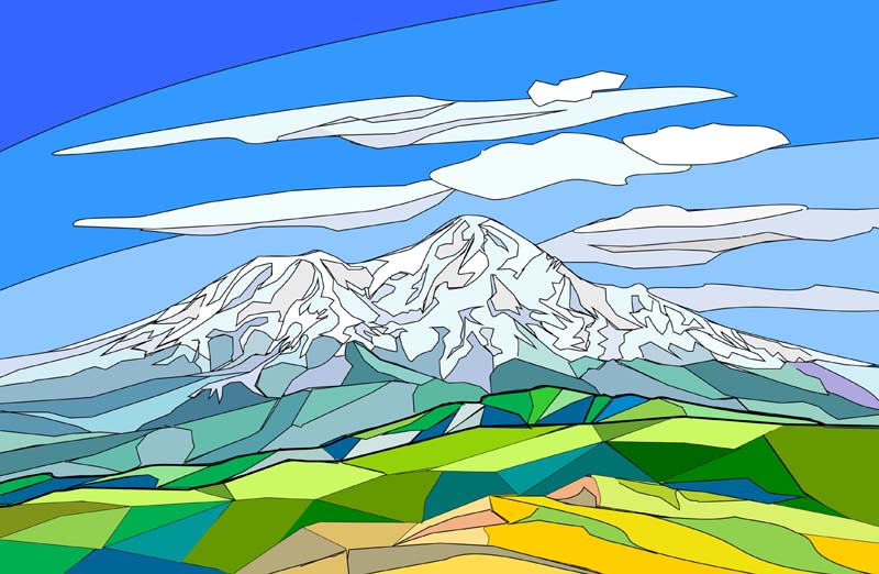
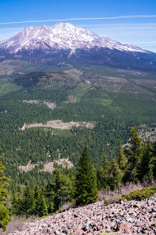
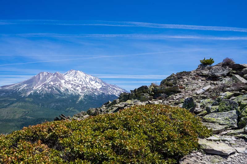
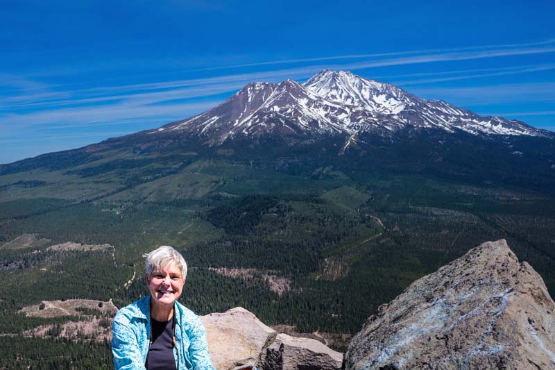
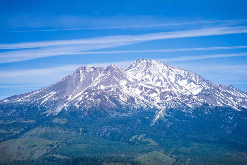
Interesting Geological info about Shasta
Last big eruption: 1786 from main north side of the main cone
Last ash and steam venting: 1855
Shasta is the highest landform in the continental U.S (measured from base to summit)
Shasta is a long lived Cascade volcano, it started to erupt 600,000 years ago.
During the last 10,000 years Shasta is second only to Mt. St. Helens in frequency of eruptions for Cascade Range volcanoes
Recently the pace of eruptions for Shasta has been accelerating to once in every 200-300 years
Shasta is due for another major eruption during this century.
Most likely area of a future major eruption would be the west side of Shastina
Shastina was formed during the period of 10,000-9000 years ago. After the last ice age (~20,000 years ago)
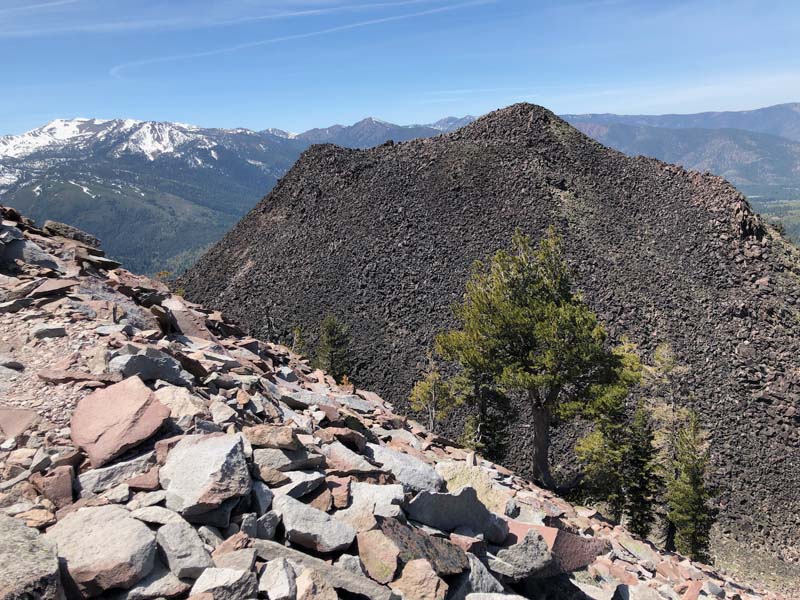
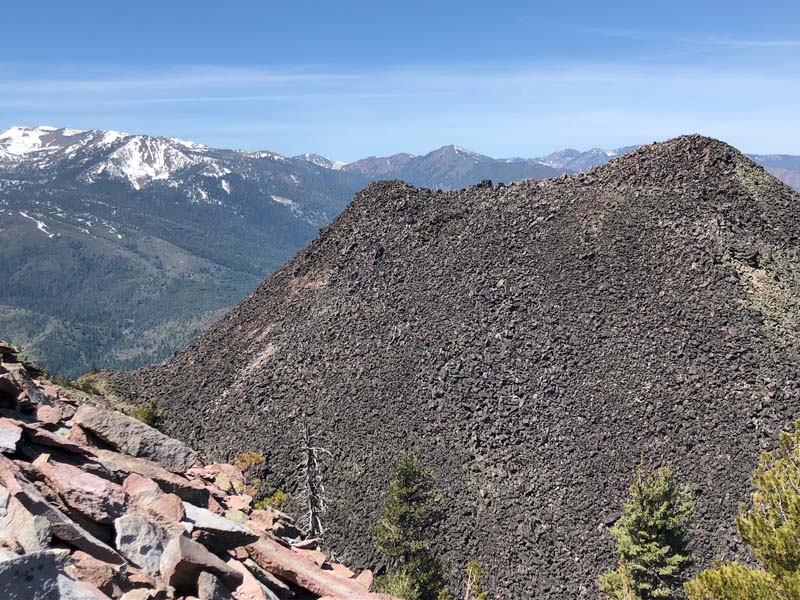
Black Butte erupted around 7,700 years ago
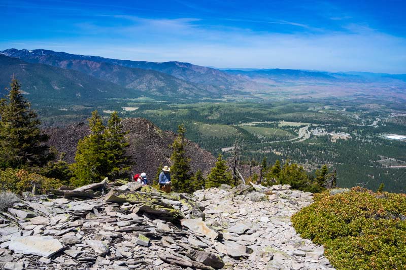
Oh yea, a major eruption could flood Weed and Shasta City (I-5) with 10s of feet of lava flows….
Fire Mountains of the West (3rd edition) 2005, By Stephen Harris is an excellent reference summarizing all Cascade volcanoes (Amazon has it or I would be glad to lend my copy to anyone who is interested. It is an easy read, with a detail glossary
Photos By: Barry, Bob