Kelsey Creek Trail
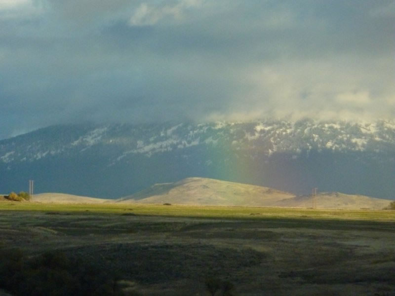
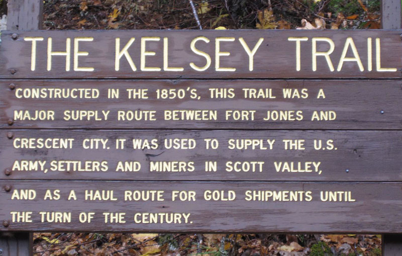
A trip to Maple Falls in the Marble Mountain Wilderness is a walk through history on the Kelsey National Recreation Trail, an 1850s supply route which once ran all the way from Fort Jones to Crescent City. It’s a long, uphill walk through history, so make sure your boots are strapped on tight and your lunch is packed.
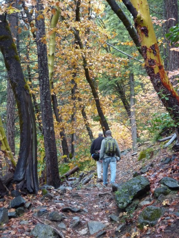
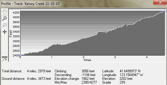
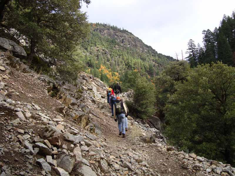
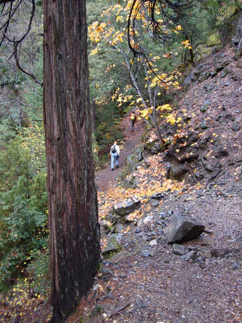
The trail starts to climb at the trailhead, and uphill is the status quo for. . . well, actually, all four miles to the waterfall. While you’re hoofing it, think of the early travelers on this route who brought supplies to the U.S. Army military post at Fort Jones and settlers in Scott Valley, and carried gold and local commodities back to the coast at Crescent City. .
Elevation: Start at 2,400 feet; total gain 1,800 feet
Best Season: April to September.
Trailhead elevation is 2,400 feet, which means that the Kelsey Trail is open year-round to Maple Falls. (The upper part of the trail that accesses the Paradise Lake Basin can get snowed on, but that’s another three miles past the waterfall.) Although Maple Falls is at its peak in the spring, I visited in September and found its flow was still full and lovely.
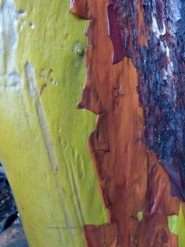
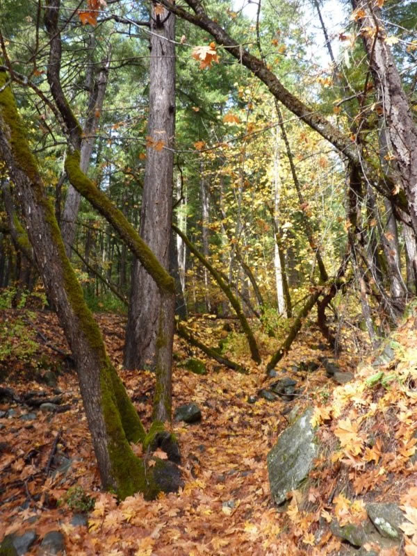
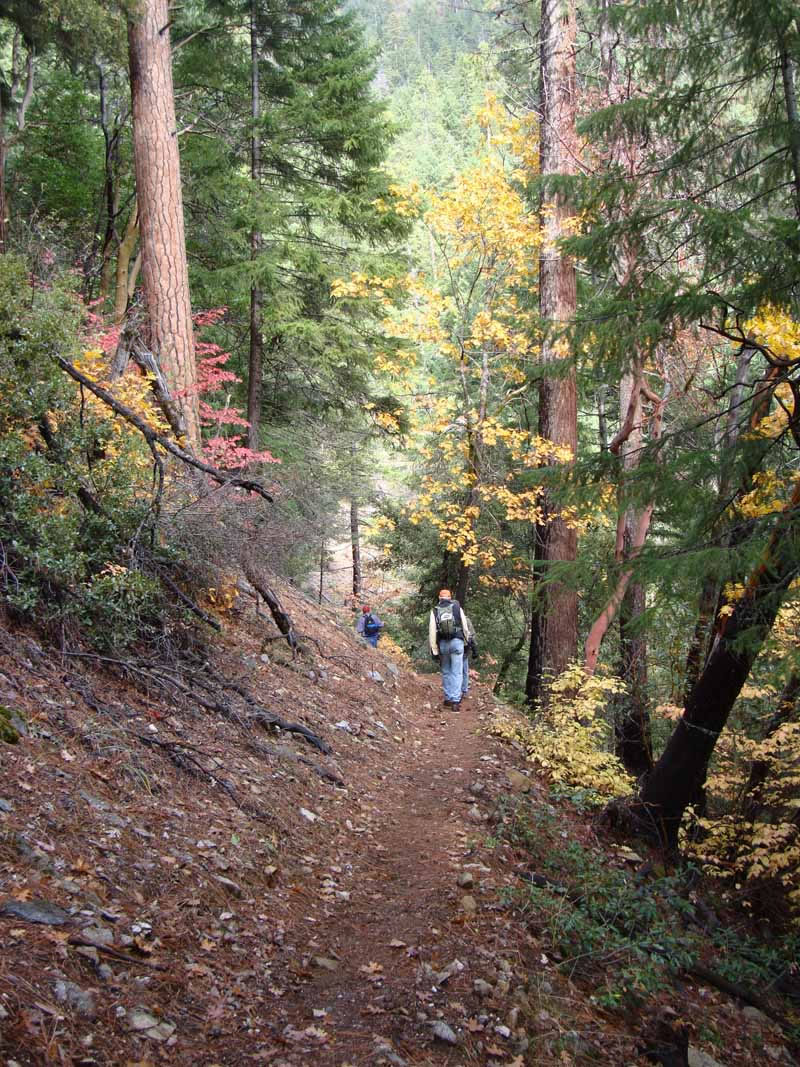
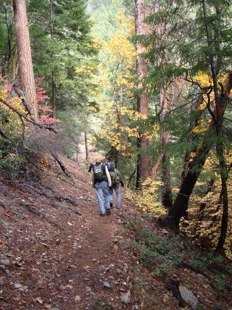
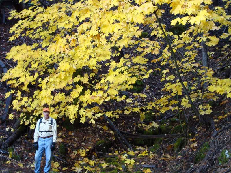
An incentive for hiking here in autumn is that the trail’s many maple trees, for which the falls are named, turn a brilliant gold in late September and October.
You’ve got 1,800 feet to gain in four miles, but the trail is well-graded and the surroundings are inspiring.
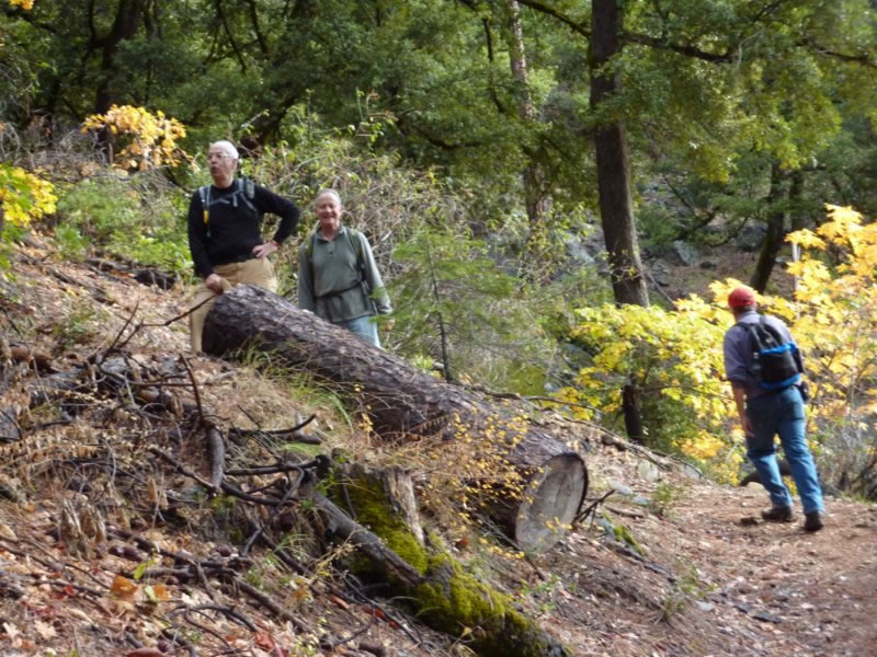
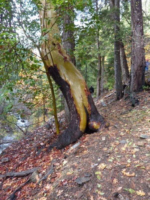
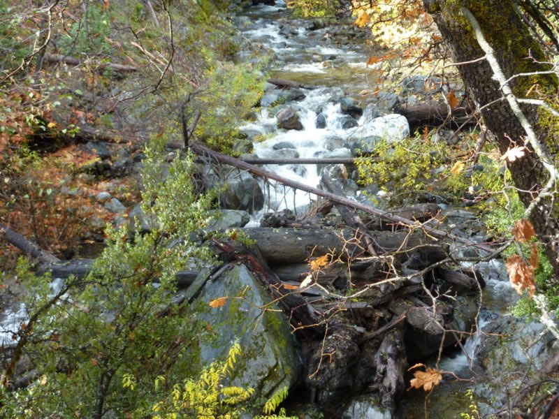
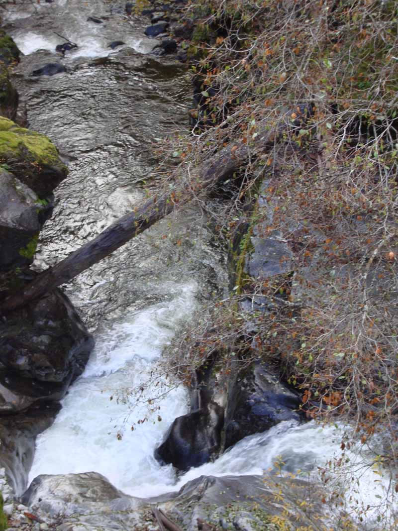
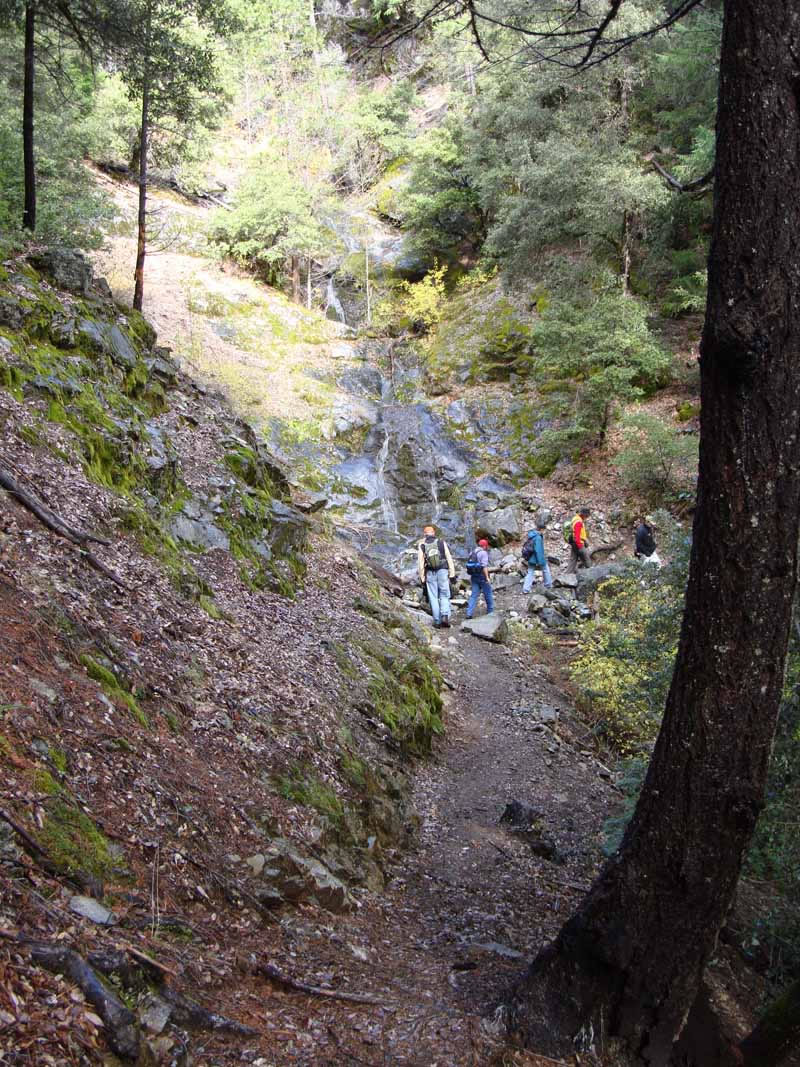
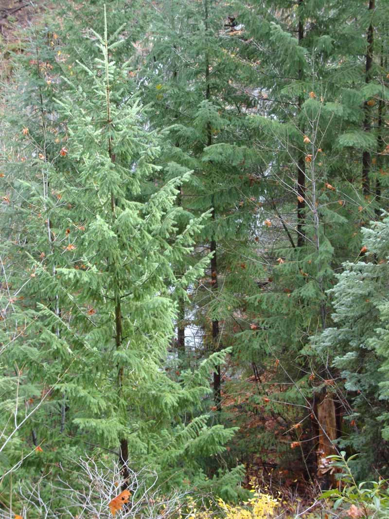
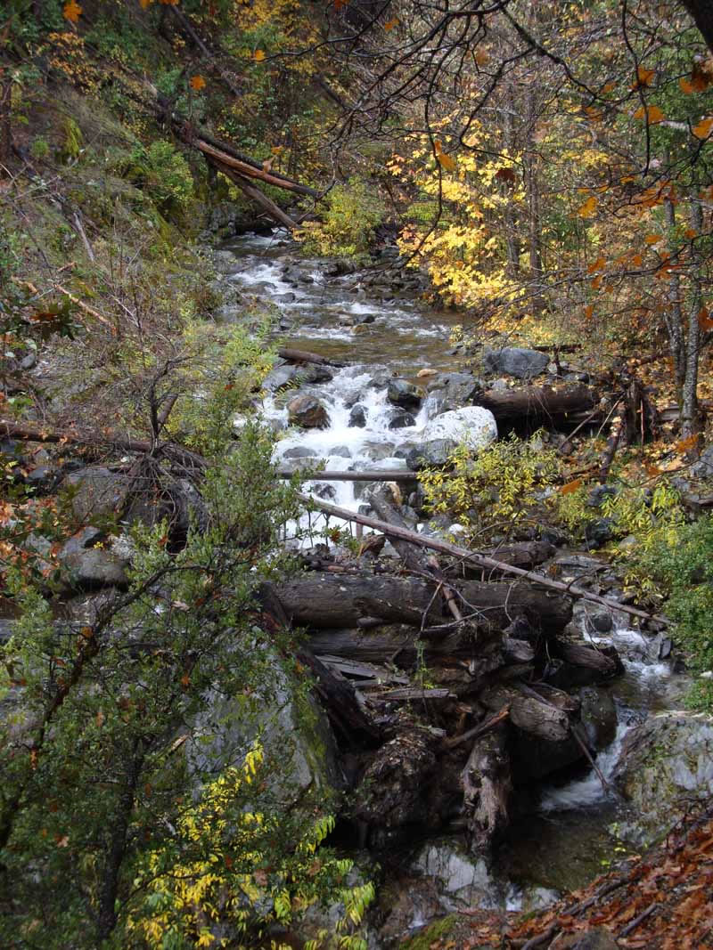
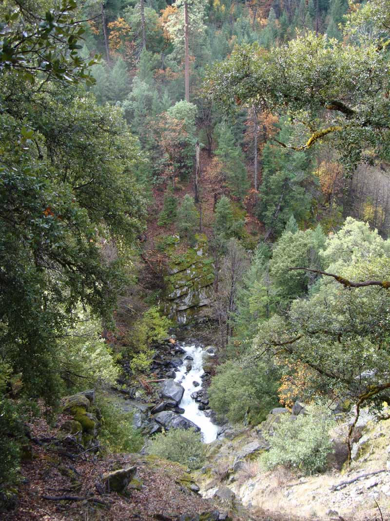
Kelsey Creek roars along below you, creating a ruckus even late in the year. Shade is the game plan for most of the trip, offered by oaks, maples, Douglas firs, and ponderosa pines. A dense array of low-elevation foliage are spread around your feet.
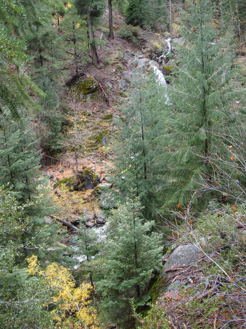
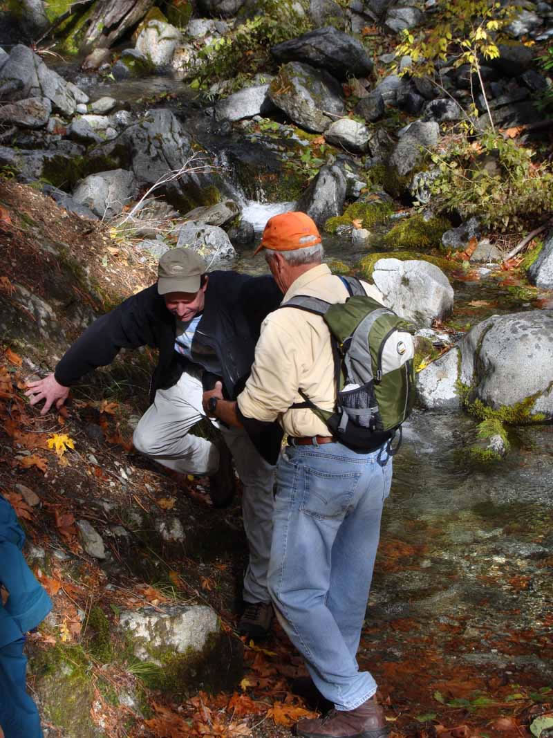
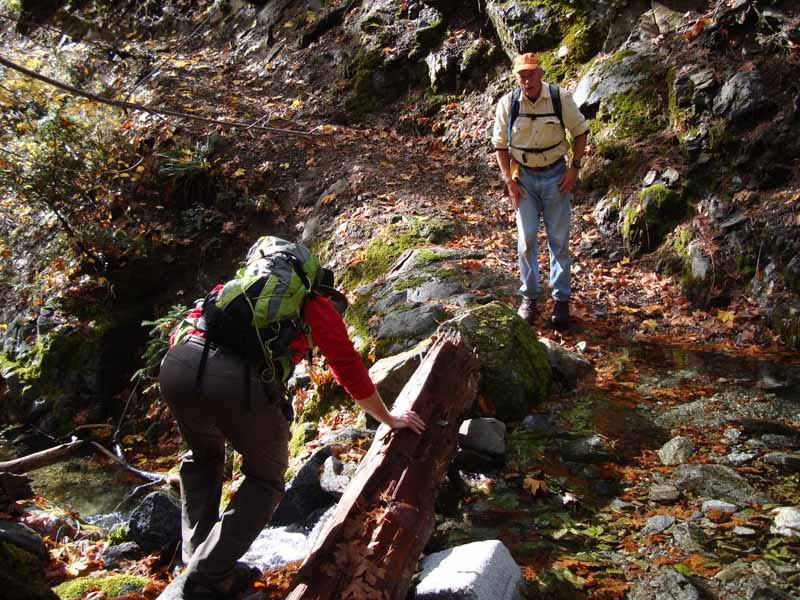
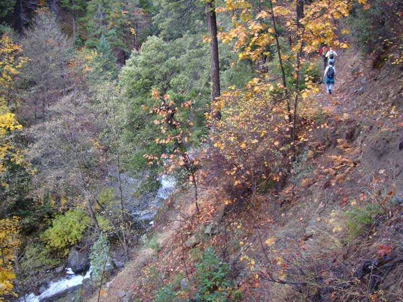
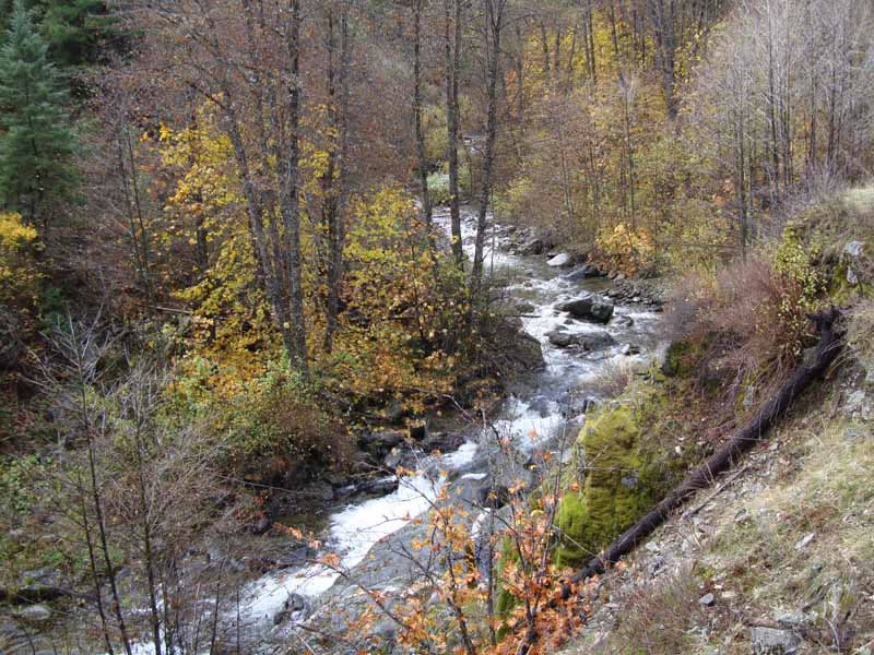
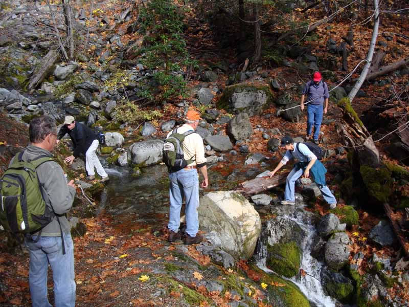
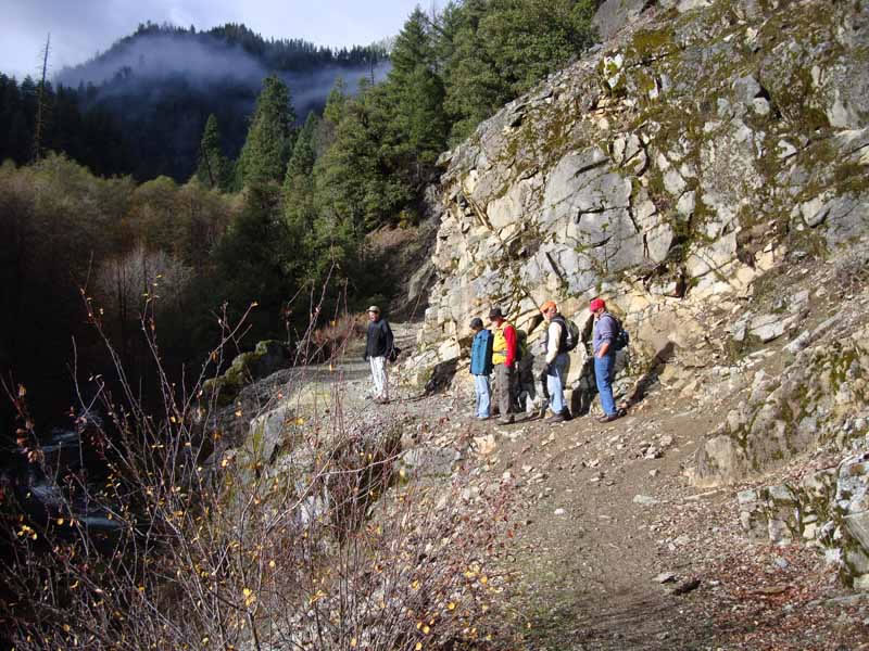
Hike upstream, and also up and above the stream, on the Kelsey Trail, which cuts into the steep canyon slopes. Most of the time you are at least 100 feet above the stream, but two miles out the trail drops down, and you’ll see a couple of primitive campsites on Kelsey Creek’s bank. Another set of falls drops below the camp — about 25 feet tall and tucked in behind a big boulder. You can glimpse the waterfall from the trail just before you reach the camp, and a short spur trail can take you closer.
In fact, you hear and occasionally behold all manner of water chutes, slides, and falls along most of the length of the Kelsey Trail. But because the trail is so high above the creek, and the banks are so steep, most of these water drops are inaccessible.
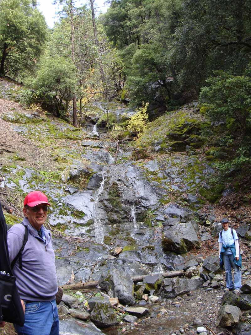
At any rate, none compare to Maple Falls, which dives 60 feet, mostly in freefall over cliff-like boulders, before cascading and running flat again. Still, Maple Falls can be a bit tricky to spot late in the summer, in low flow. From the trail you’re about 50 yards distant from it, and thick foliage obscures all except the top of the fall. Trust your ears to guide you. After four miles of fairly relentless uphill, you’ll be looking anxiously for your destination.
Landmarks
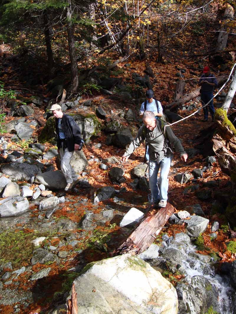
Watch for these landmarks: At 2.6 miles, you’ll pass a worn Marble Mountain Wilderness sign. Then, between miles 3.0 and 3.8, the trail crosses two good-size creeks, which run even in autumn. At 4.0 miles (about two hours of hiking time), you’ll spy the falls across the canyon. Walk past them for a minute or so until you see a spur trail on your left. (The Kelsey Trail continues to climb upward, heading for Paradise Lake.)
Take the spur, an excellent route that leads to the top of the falls, where a perfect makeshift campsite is located, complete with a crude table and fire grill. From the campsite, you can cross the creek by rockhopping (at low water), then scramble another 50 feet to get a good side view of the falls. As this is your first opportunity to see Maple Falls’ full height, it may surprise you.
Trip notes: There is no fee to enter the park. For a map of the Marble Mountain Wilderness or Klamath National Forest, contact Klamath National Forest, Scott River Ranger.
Directions: From Interstate 5 at Yreka, take the Highway 3 exit and drive w