Buck Rock Summit Hikes
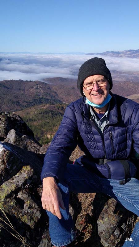
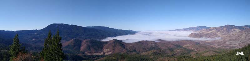
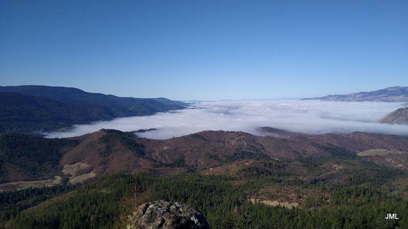
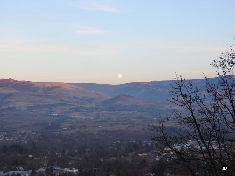
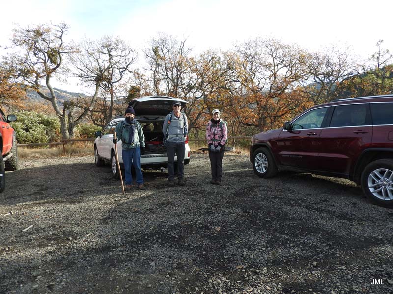
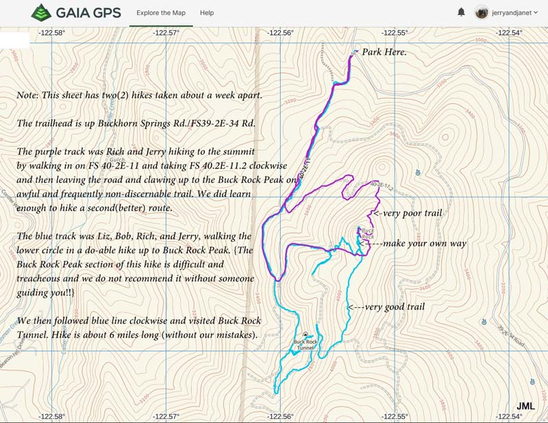
It seems colder weather is an ideal time for hiking up to higher elevations. So Saturday (11/28) four of us headed a short 9 miles up Highway 66 to seek a more user friendly approach to Buck Rock summit. The drive brought us out of the fog that covered most of the valley and into the sun. Although temps were in the 30s some of us decided to shed our outer coats for the uphill hike.
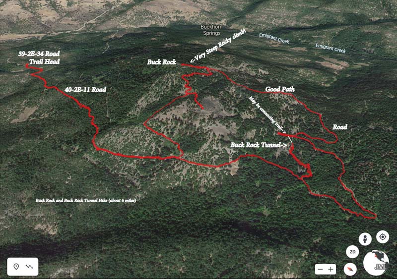
Driving Directions: 9 miles up Highway 66, Right onto Buckhorn Road (after MP 9, the road sign was knocked down), then first right onto Emigrant Creek Road. Go up this dirt road a couple of miles to a parking area on your left.
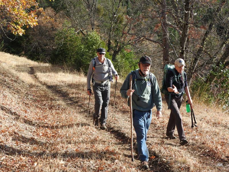
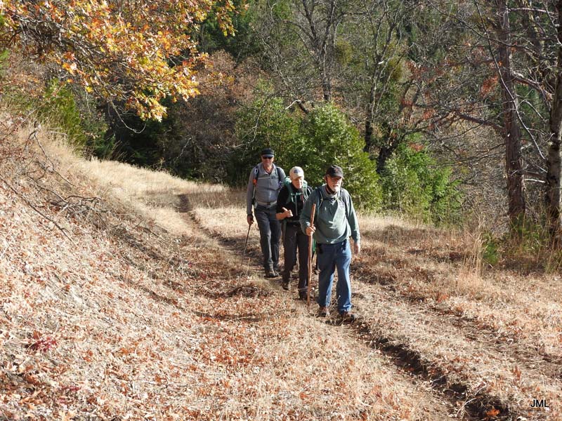
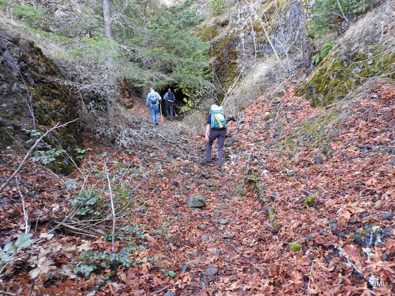
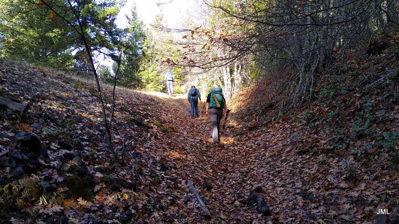
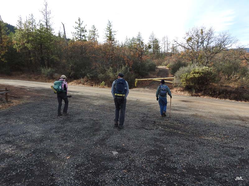
From parking go across the road and around a gate and up the Buck Rock trail.
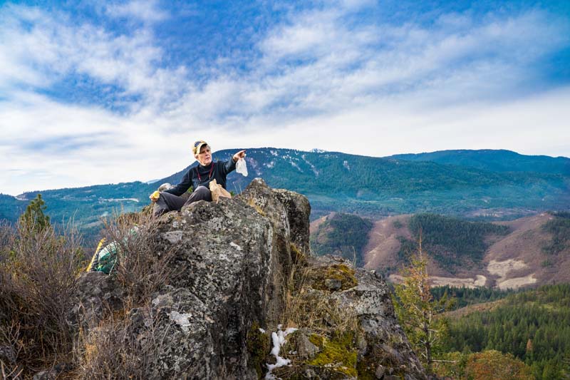
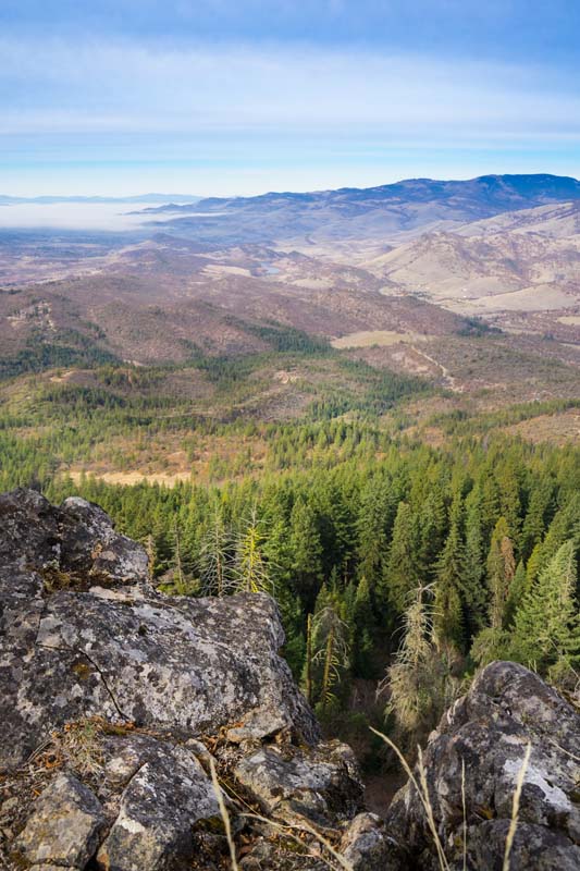
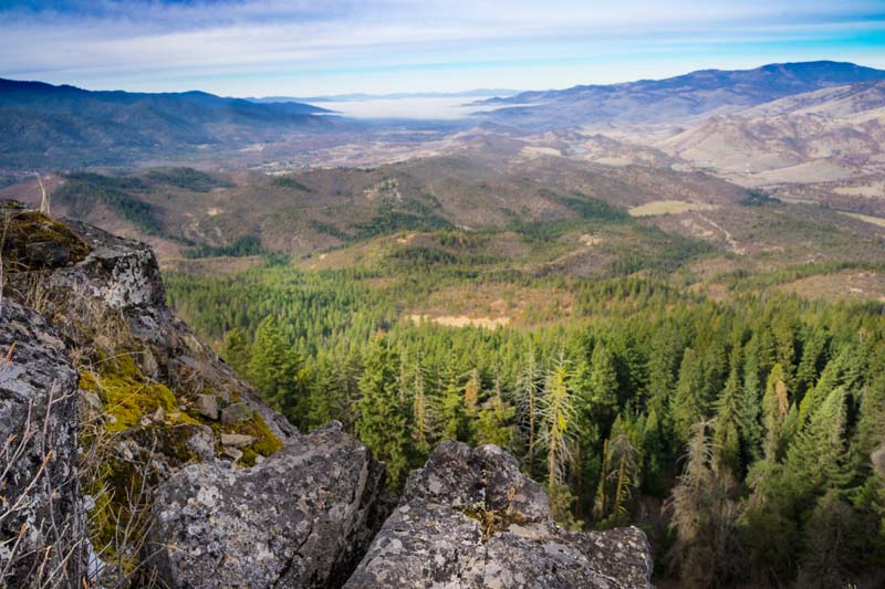
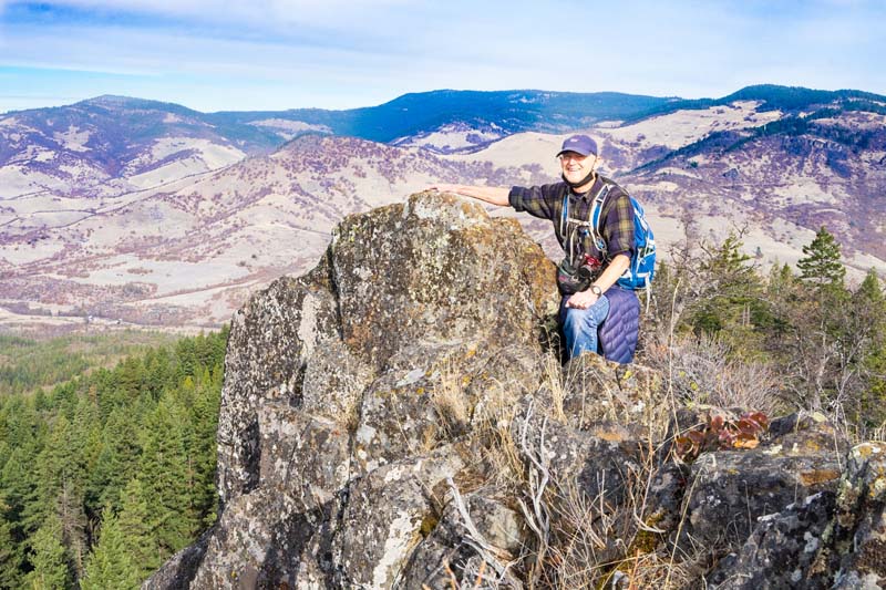
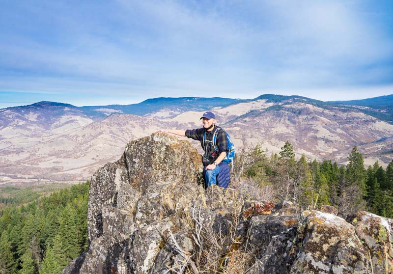
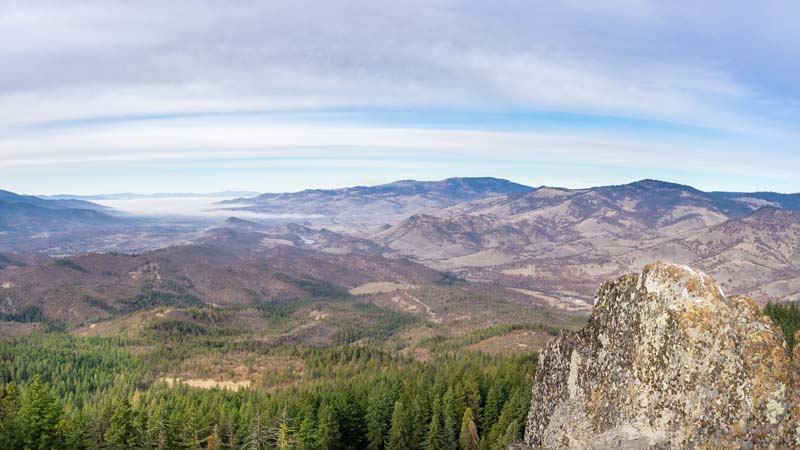
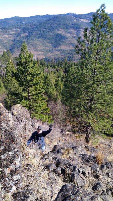
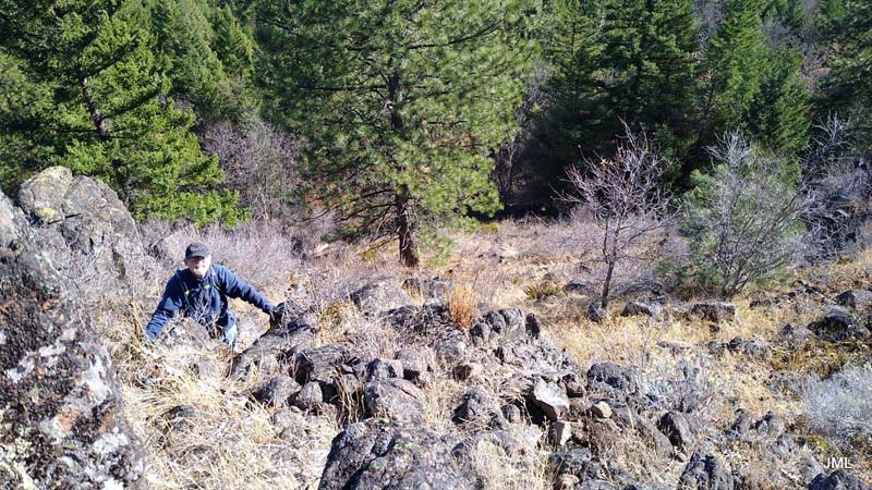
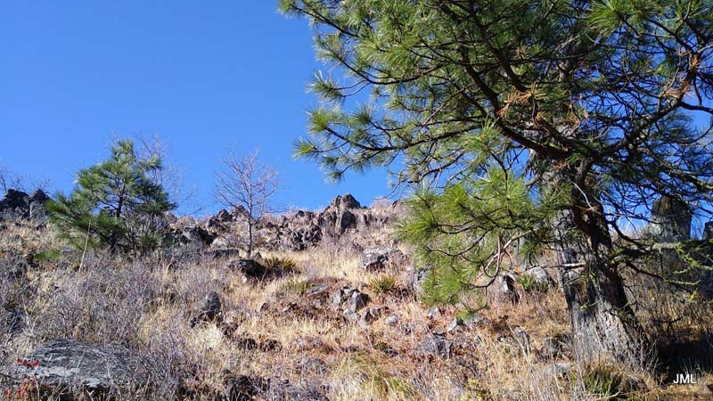
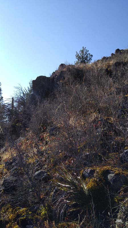
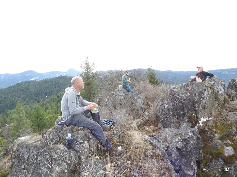
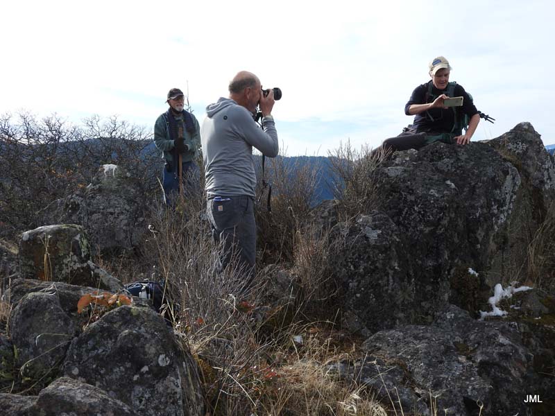
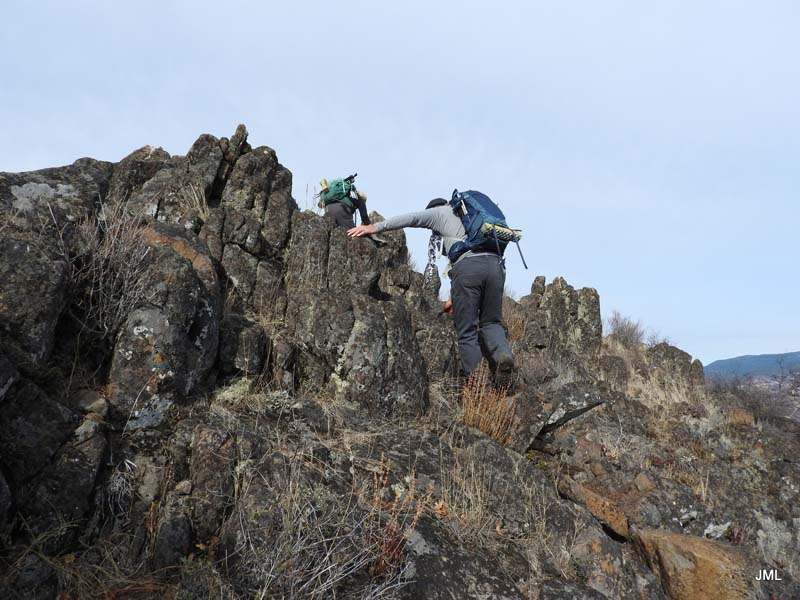
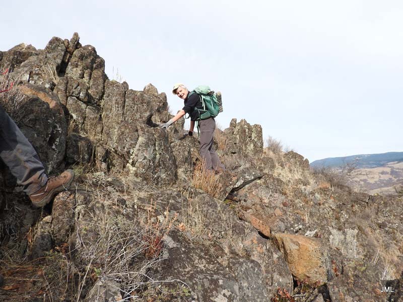
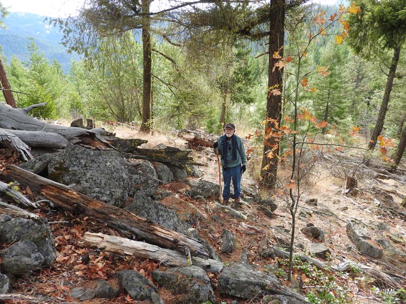
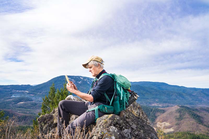
Jerry and I had scouted the summit a week earlier (11/20) using the suggested route from AllTrails.com. That route had us taking a trail off the main trail up to the north side of Buck Rock. Then we had to bushwhack up about 200 feet and then find our way through thick forest uphill to finally a rock climb to the top. The summit is a narrow rocky ridge with just enough room for four to have lunch and enjoy the 360 degree views of Emigrant Lake, Pilot Rock, Mt Ashland and surrounding mountains.
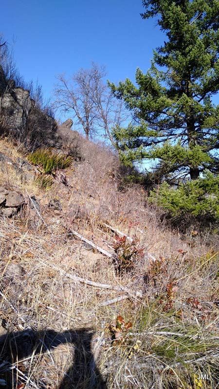
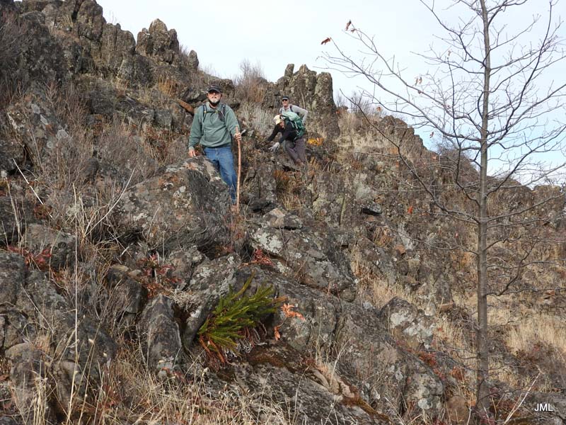
As we made our way down we discovered a more open way to the south and west through clearings and back to the main trail.
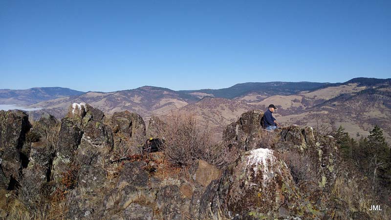
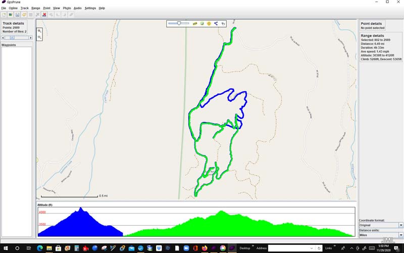
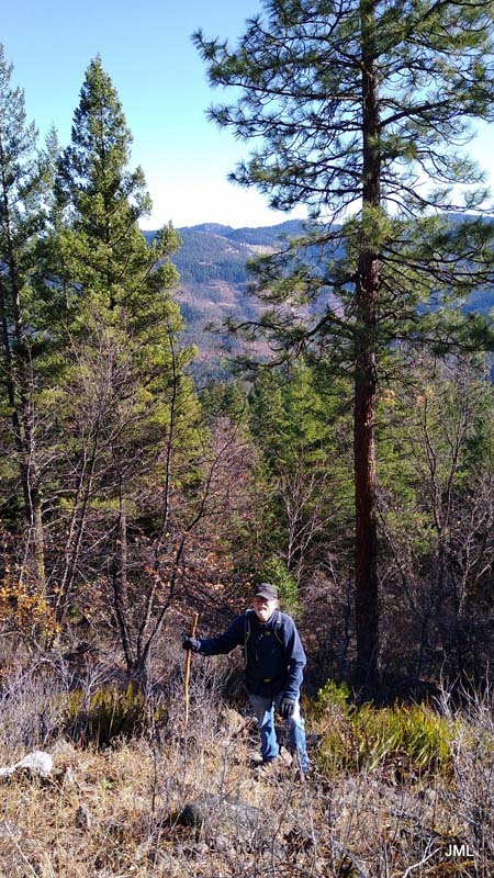
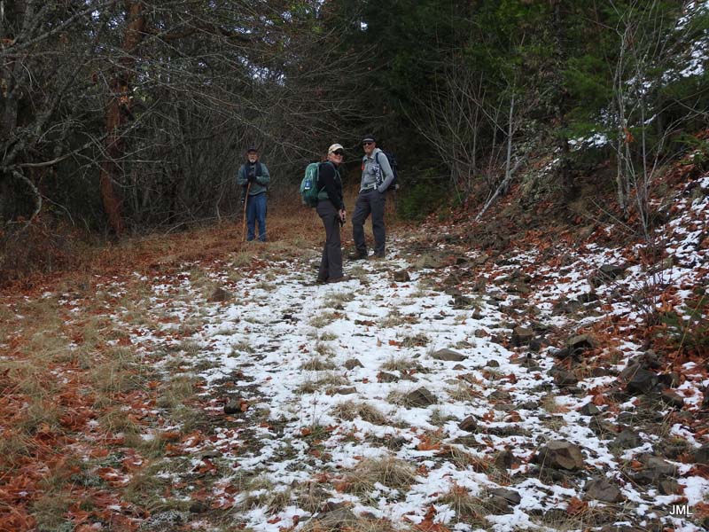
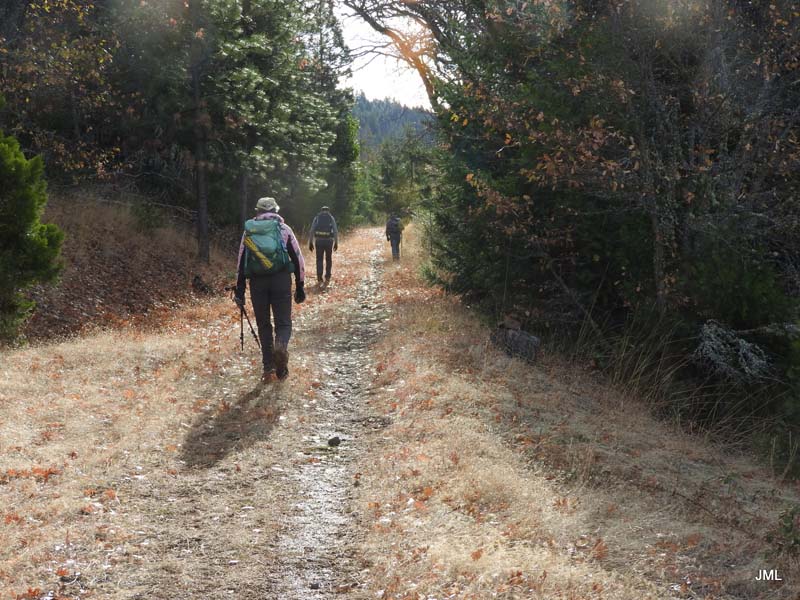
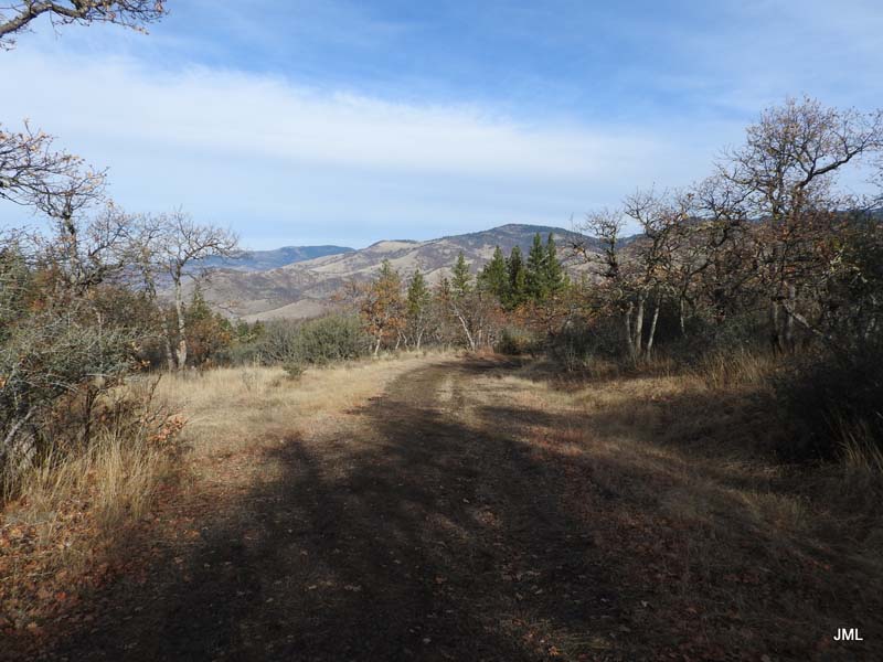
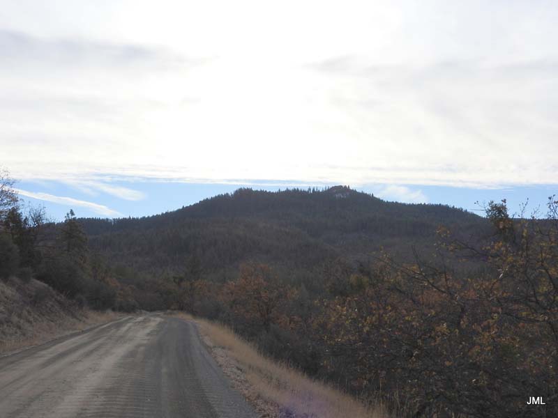
So on Saturday (11/28) Liz and Bob Hutton joined us to scout that newly discovered path going up to the summit. From parking you continue all the way up the main trail without taking any of the side trails. Up about 4,000 feet you head off the trail to your left up through clearings and some forest and finally up the rocky base to the Buck Rock summit at 4,200 feet. It was sunny and mild on top and we had a relaxing lunch break.
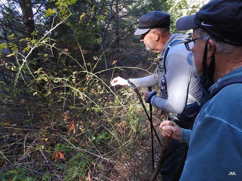
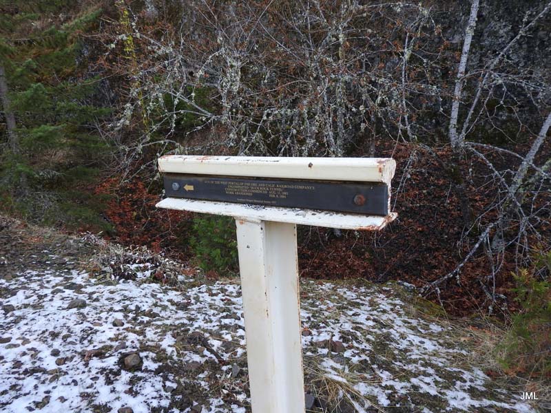
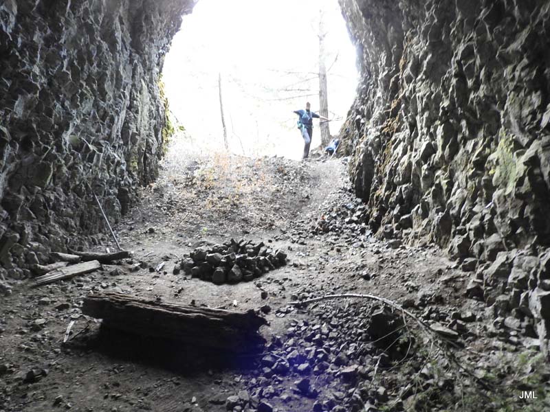
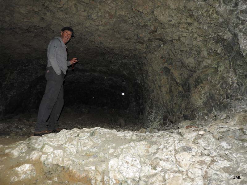
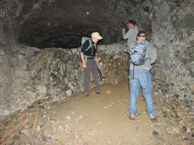
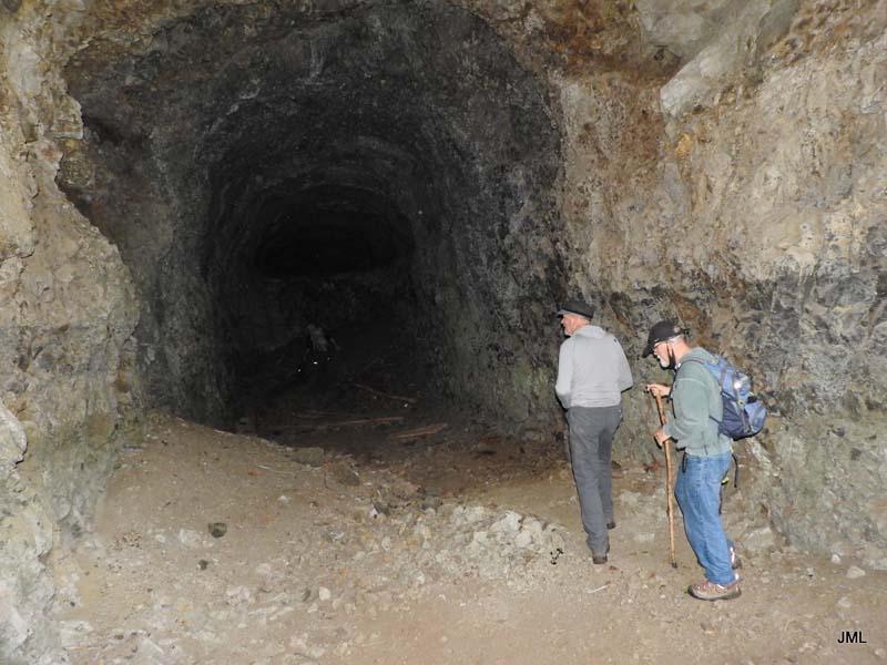
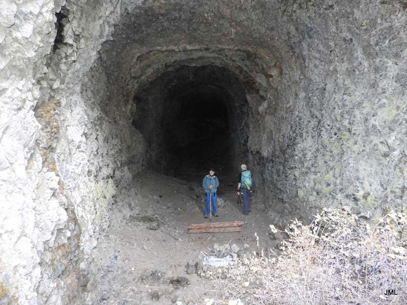
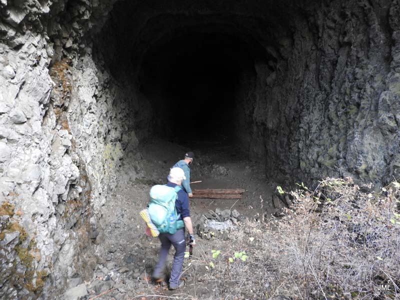
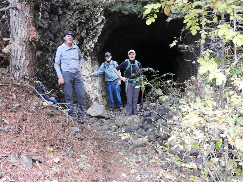
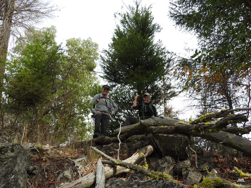
On our way back we took a side trail up to view the entrance to the west side of the old Buck Rock Tunnel project.
Saturday’s hike covered 6.2 miles and about 1,100 feet elevation gain.
Hike Leader: Rich Stickle
Photos By: Jerry, Liz, Bob