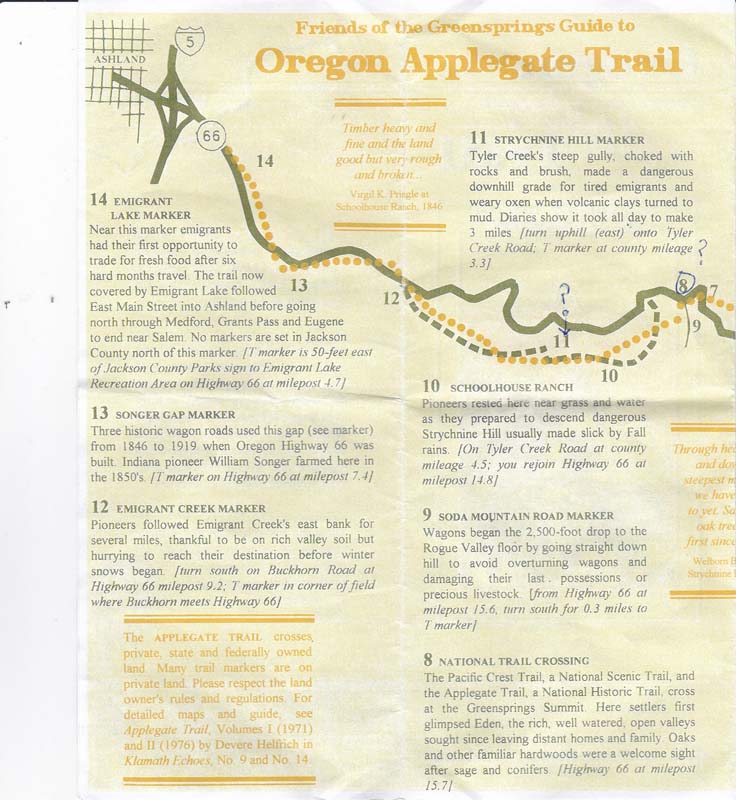
Scouting Applegate Trail
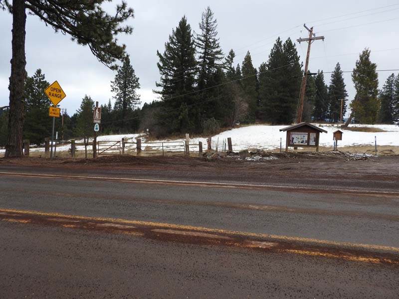
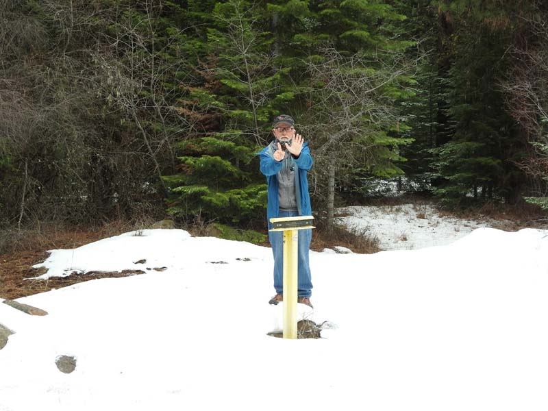
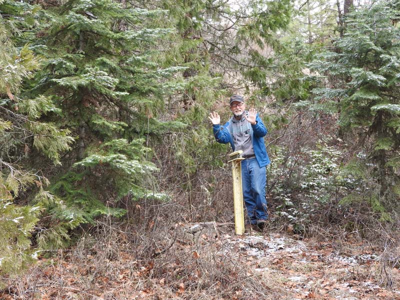
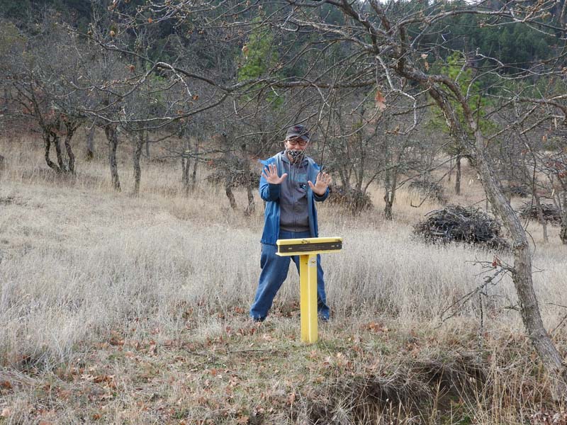
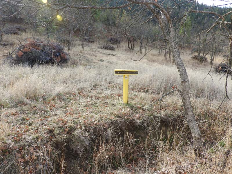
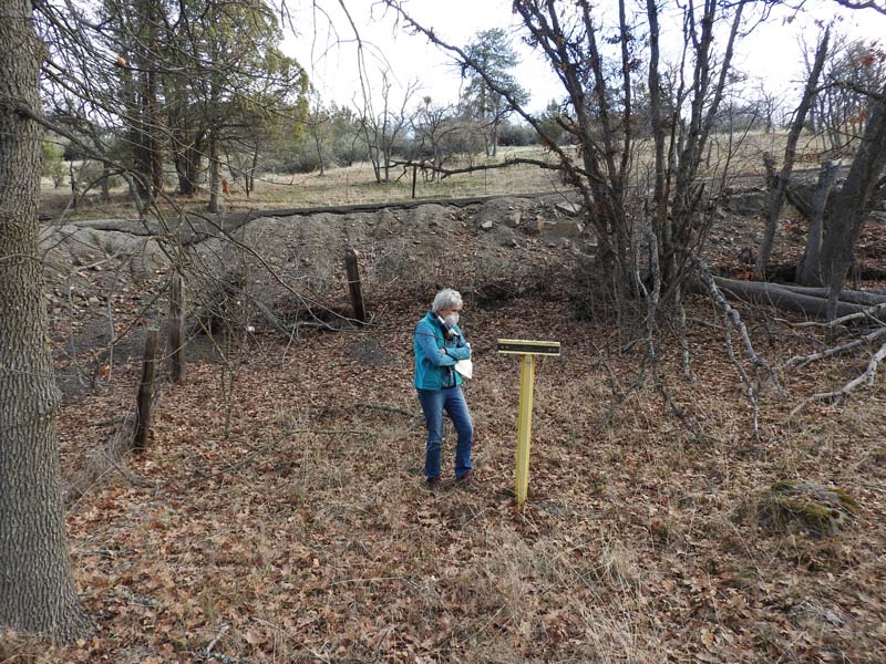
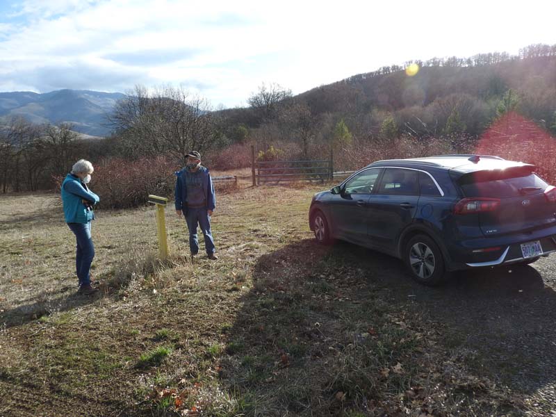
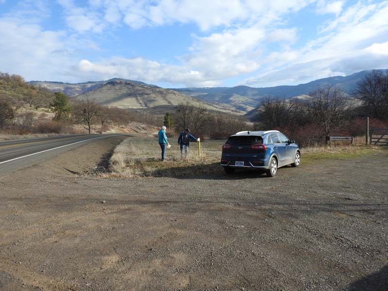
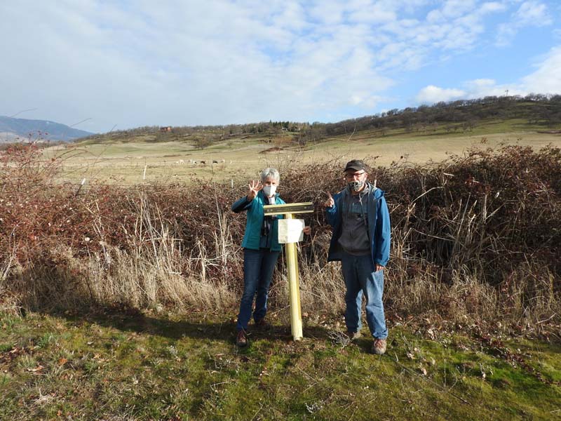
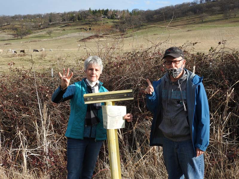
Last Friday Liz, Jerry and I fed our curiosity about the wagon train route into Jackson county. We had previously discovered a yellow marker on Highway 66 across from the Greensprings Spur turnoff to Songer Gap. Then Liz gave us all brochures about the Applegate Trail and the 14 markers placed by the Southern Oregon Historical Society in the 1970s.
The three overlapping wagon routes meandered on either side of Highway 66.
We searched for the markers in our SUVs starting from Rite Aid. The first we found was #14 in the brochure at the corner for the turnoff to Emigrant Lake Dam. Some of the others weren’t so easy to find and took us past the Greensprings Summit to the Jackson/Klamath county line.
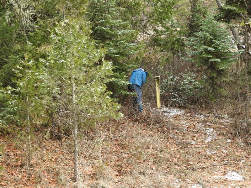
It became more of an adventure as we got higher in the mountains and started to run into snow and ice. Some of the markers were off of 66 on Buckhorn Road and Tyler Creek Road and some were on private dirt roads. And some we decided were covered in snow. We found and photographed 8 of the 14 markers and used our fingers to indicate the number of the markers on the trail map.
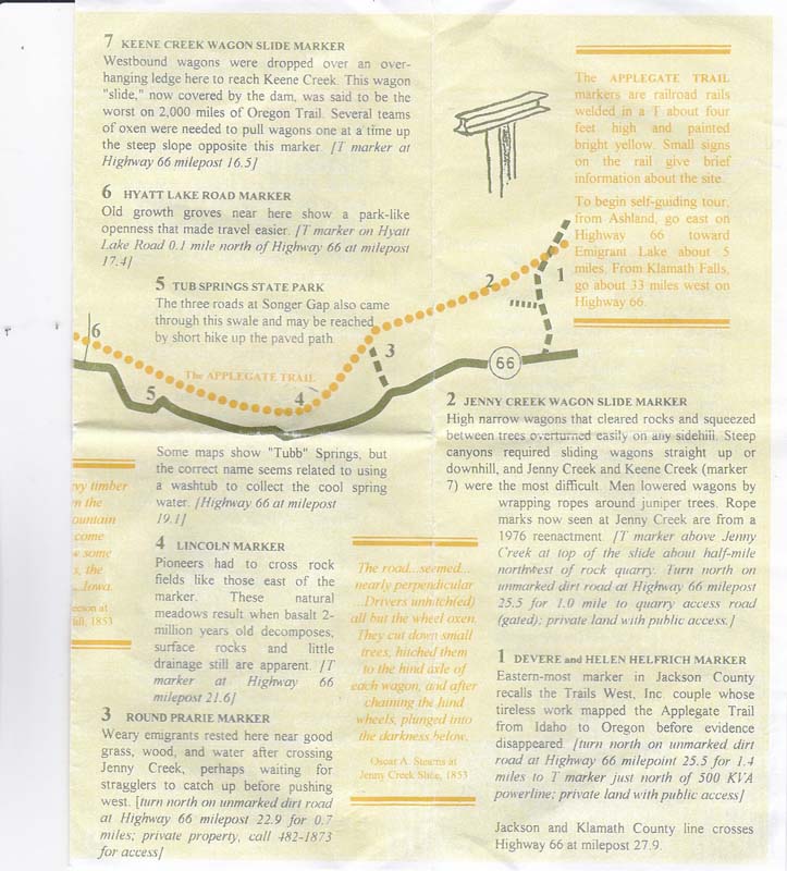
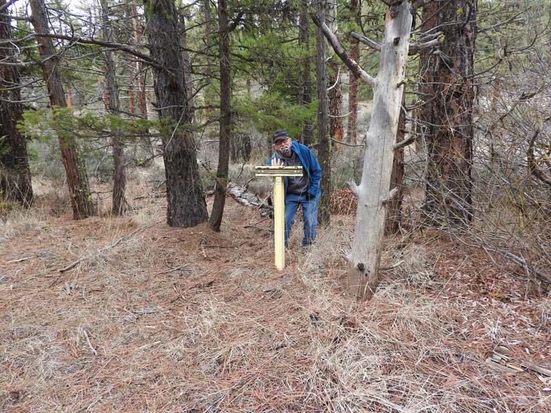
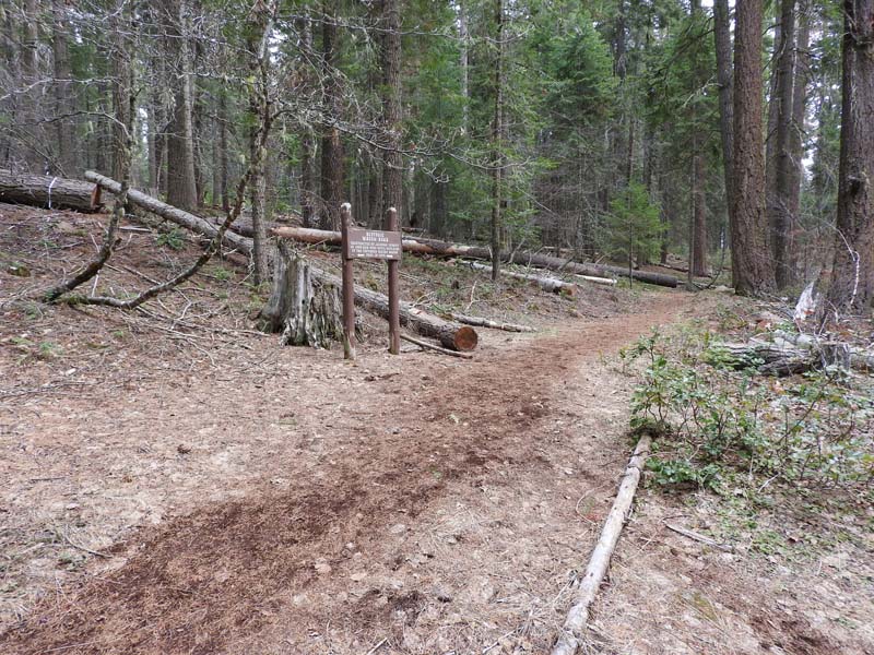
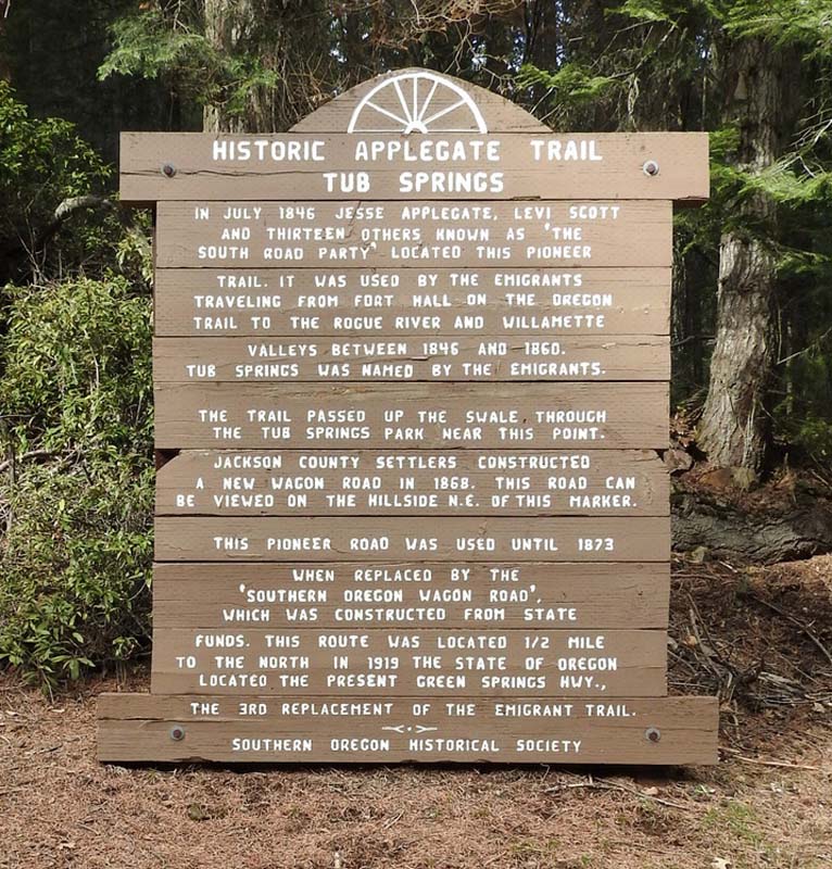
We got to stretch our legs at Tub Springs State Park where there was a loop trail that showed part of the old wagon route set down by Jesse Applegate and his pioneer friends.
Near the end of our search with the freezing and approaching snow we decided to call it a fun day’s adventure and head home.
This could be a fun off day event post Covid for local history buffs and would include a few short
Hike Leader: Rich Stickle
Photos By: Jerry