Upper Table Rock
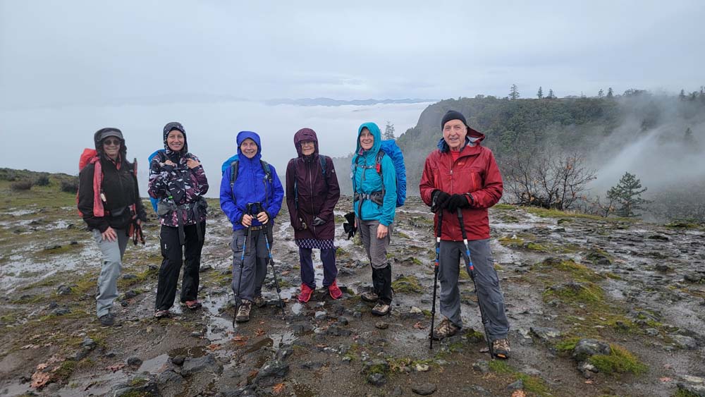
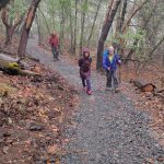
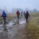
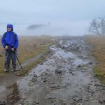
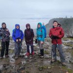
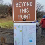
On December 6, 2023 six of us braved the report of 100% chance of rain. We had low fog and mostly just the moisture from that. When we got to the trailhead, we could see a pile of gravel that was left over from covering the new trail route. There are added signs about why the trail is not for dogs.
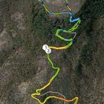
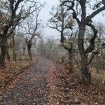
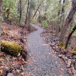
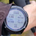
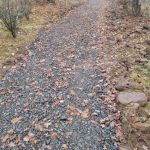
As we headed up, we could see where the trail looks like it has been widened and rocks dispersed along the side. There was also some hay covering the exposed mud. The trail is about 3/10 of a mile longer each way, but it isn’t quite as steep. The sign at the trailhead says it should be 2.5 miles round trip (this is the old mileage) making one way 1.25 miles. When we reached the top, I took a photo of my watch and it said we had gone 1.56 miles. I started my track at my car and it is included in the photos. You can see the old trail in grey. The colored lines are the route we took. They have blocked off the old trail with a downed tree.
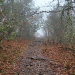
When we reached the top, it was very foggy and we could only see a little ways in front of us. We headed across following one of the trails. As we reached the other side, some of the fog lifted. We could hear airplanes, then see them emerge out of the clouds. We continued around the edge and the sun almost emerged.
We headed back down to our cars and just got some misty drizzle rain. We were finished by noon and were happy to be able to run errands in town if needed. I myself stopped at the Franz Bread outlet and I believe Steve and Maria were able to make a Costco stop.
Hike Leader: Francie
Photos By: Francie
