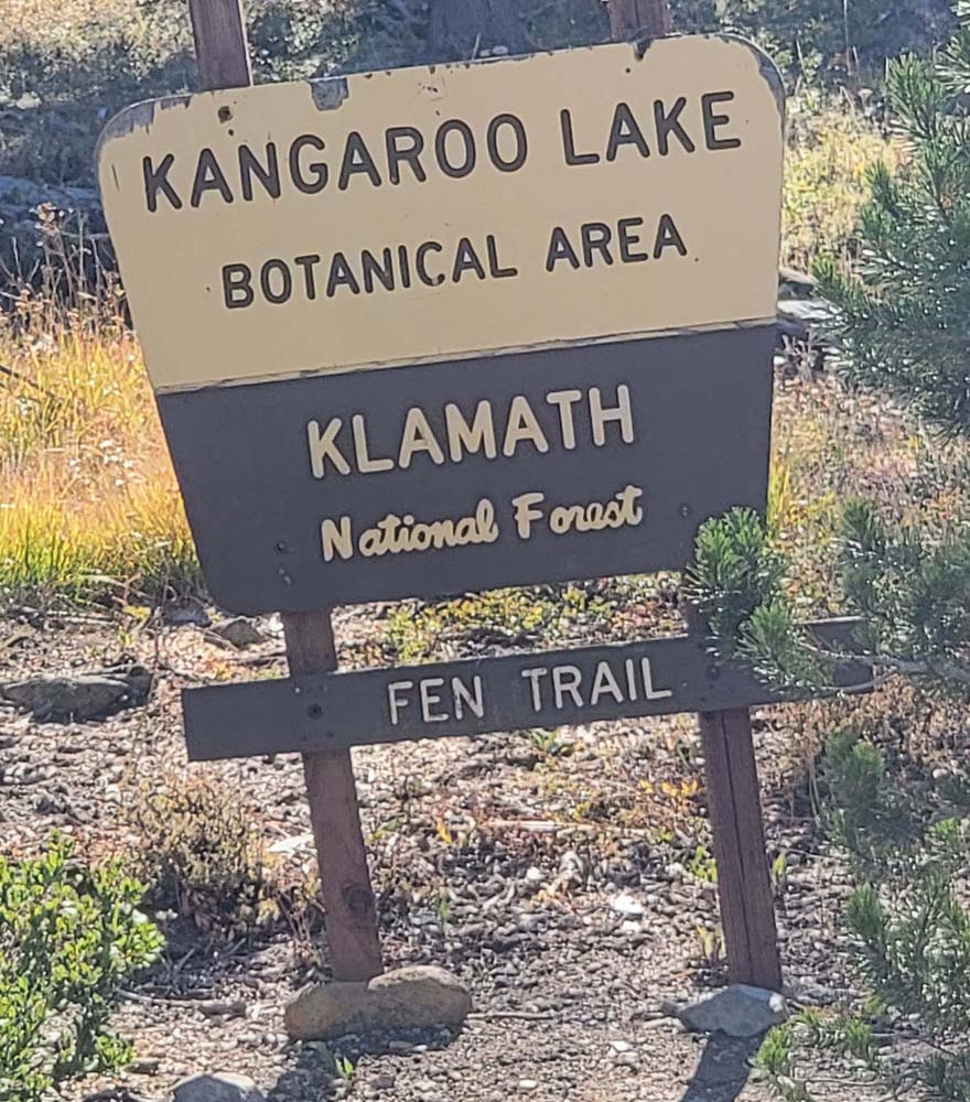
Kangaroo to Bull Lake
Leslie and I headed south to hike from Kangaroo Lake to Bull Lake. As we passed fields we saw a Golden Eagle, a Sharp-Shinned Hawk, a Grouse and a coyote. We drove on the Gazelle/Callahan road, and could see the burn area from the Mountain fire that started just a few days after we did this hike last year. It started from a vehicle and burned 13,440 acres according to Cal Fire.
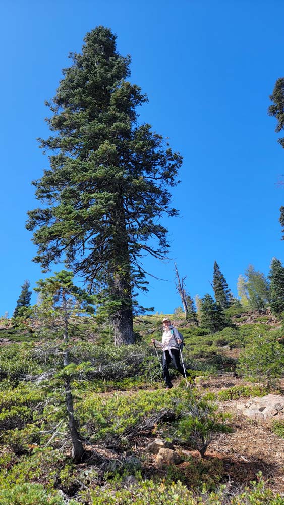
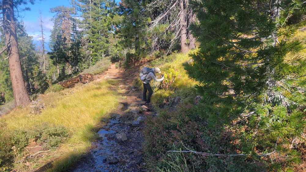
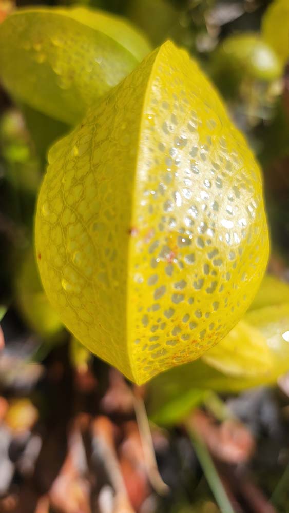
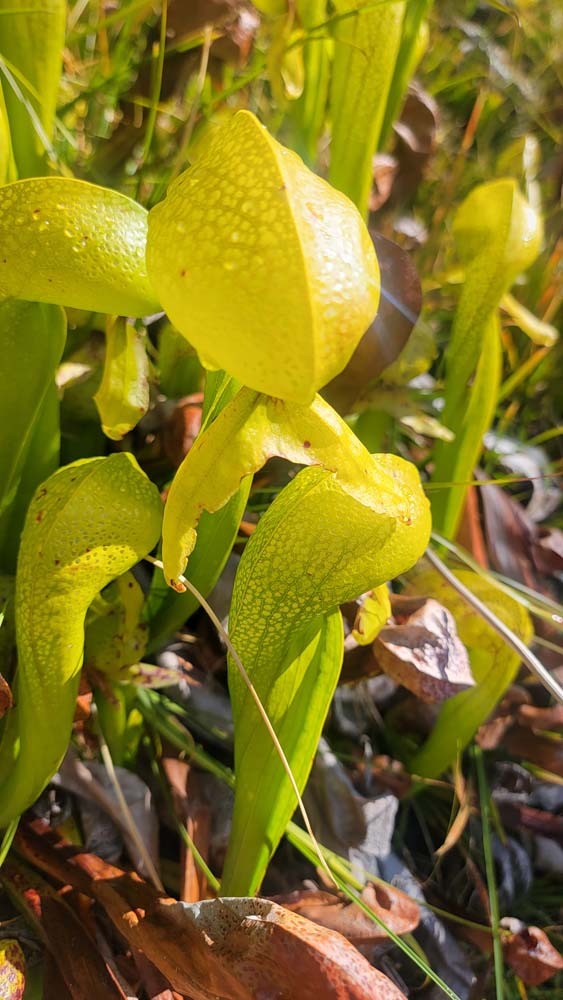
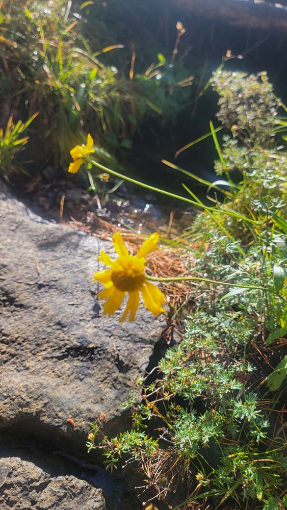
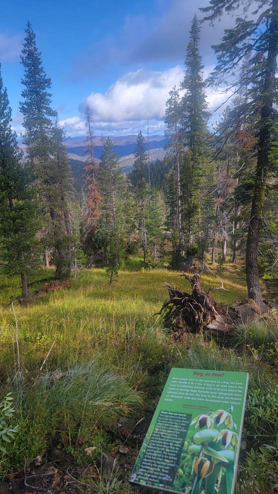
We arrived at the trailhead and were the only car. We started up the hill climbing around 500 feet in the first half of a mile. We checked out all the fens and could still see many of the Californica Darlingtonia Pitcher Plants. We also passed several Bear Grass plants that we could see had bloomed this year.
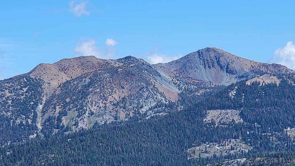
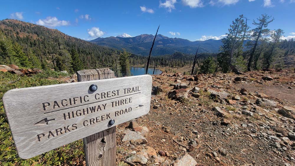
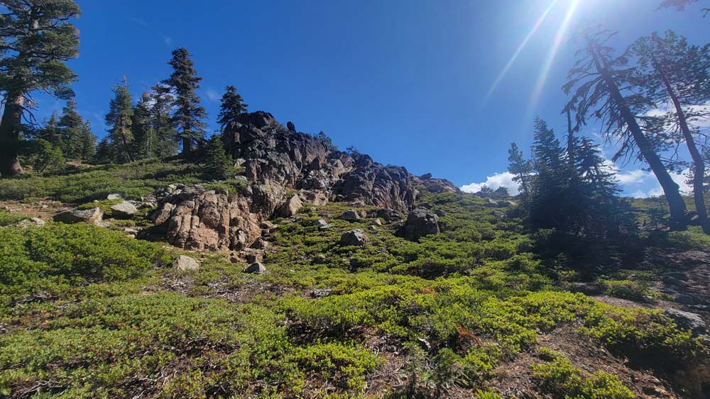
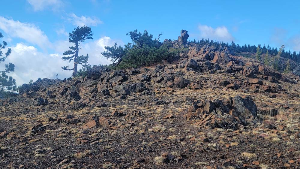
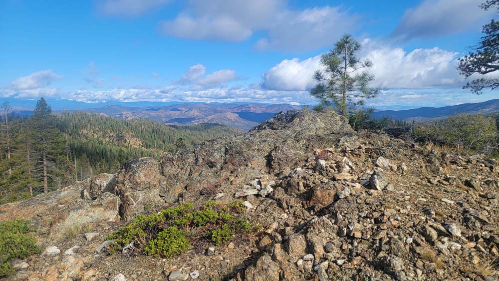
We headed up and could see Lover’s Leap rock and we had a fabulous view of Kangaroo Lake. We continued up and connected with the PCT. We passed off-shoots of the Sisson Callahan Trail which lead down to Robbers Meadow and some unnamed smaller lakes.
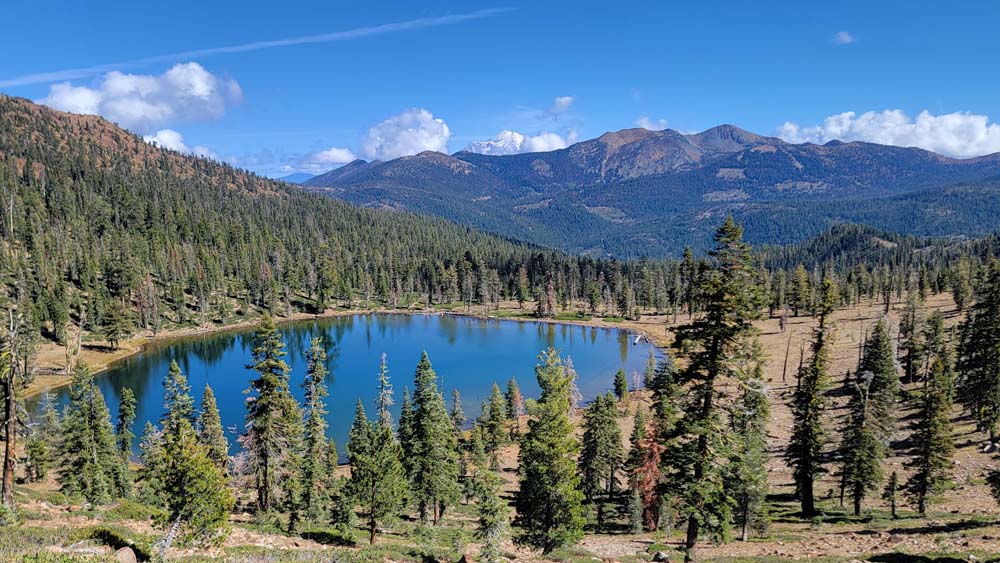
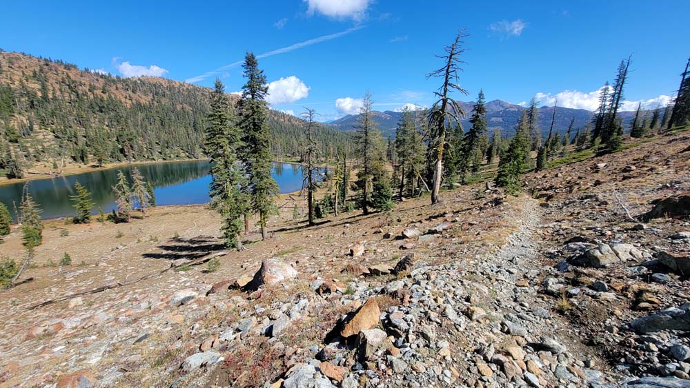
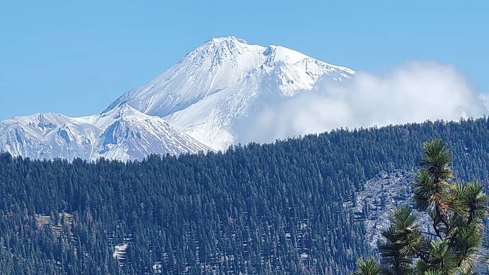
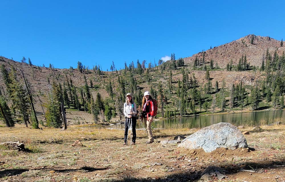
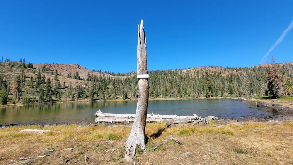
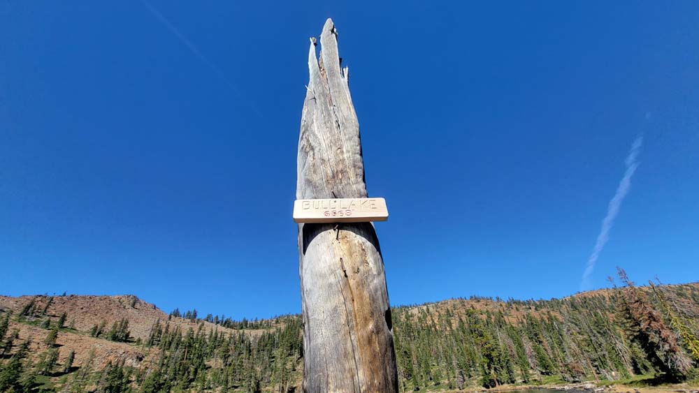
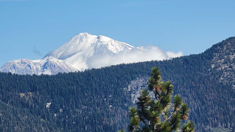
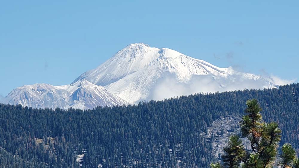
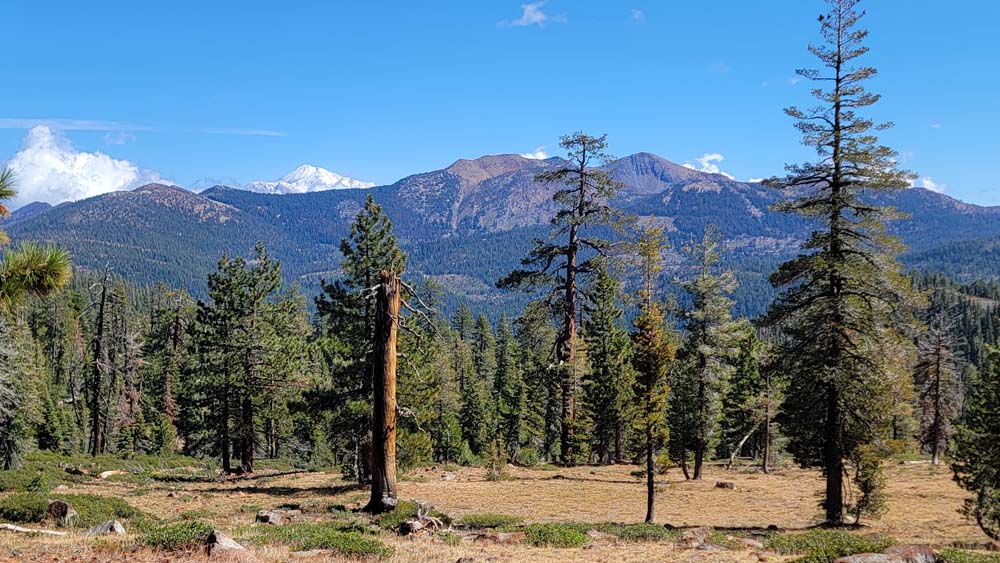
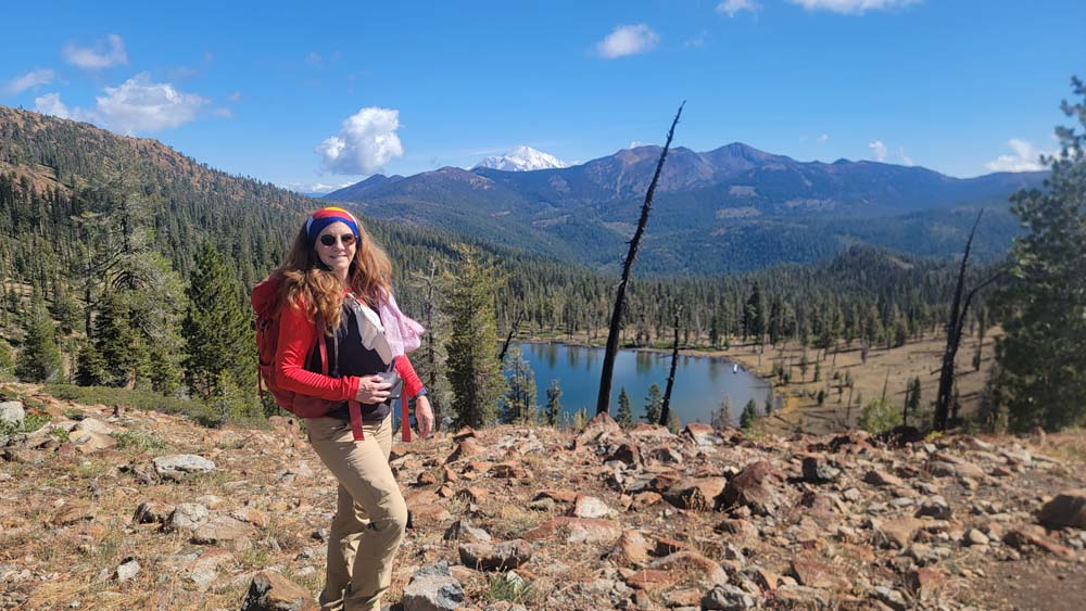
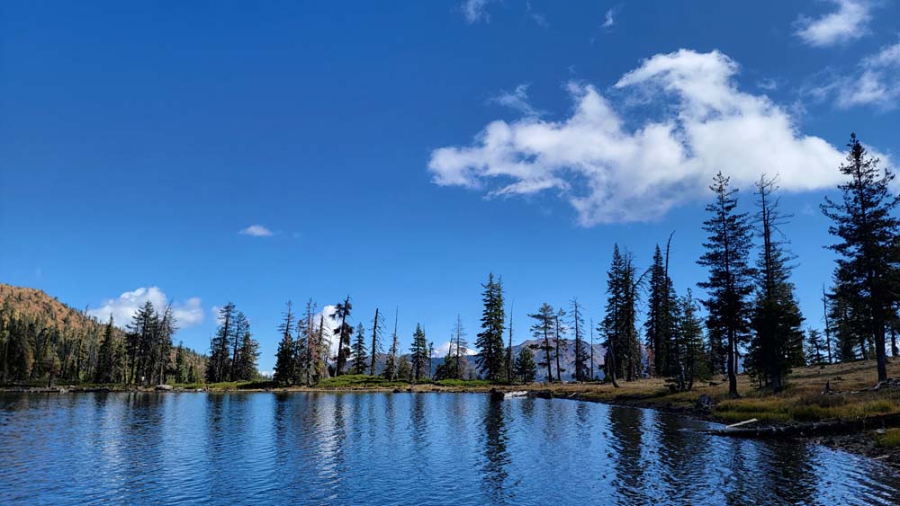
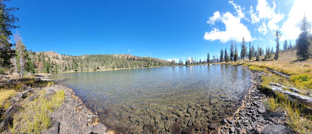
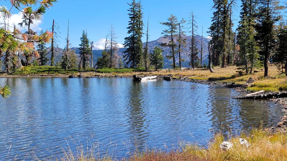
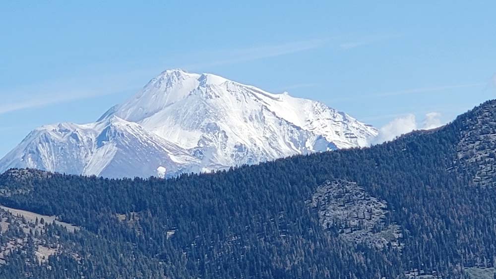
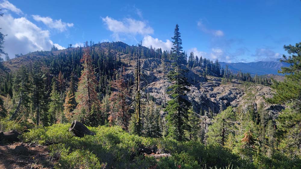
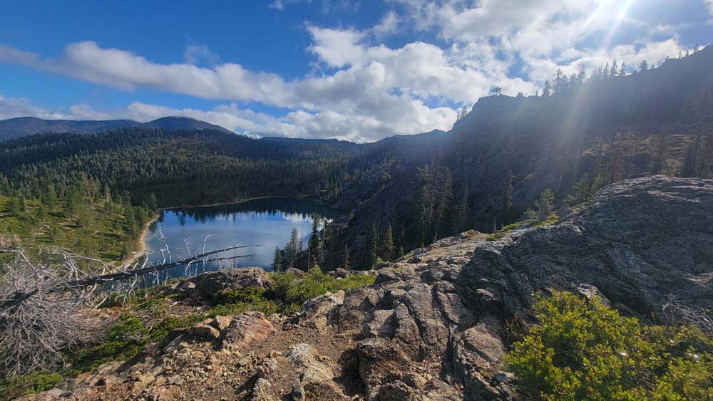
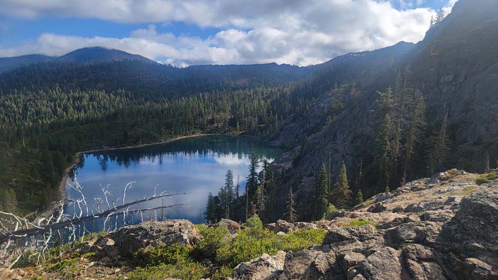
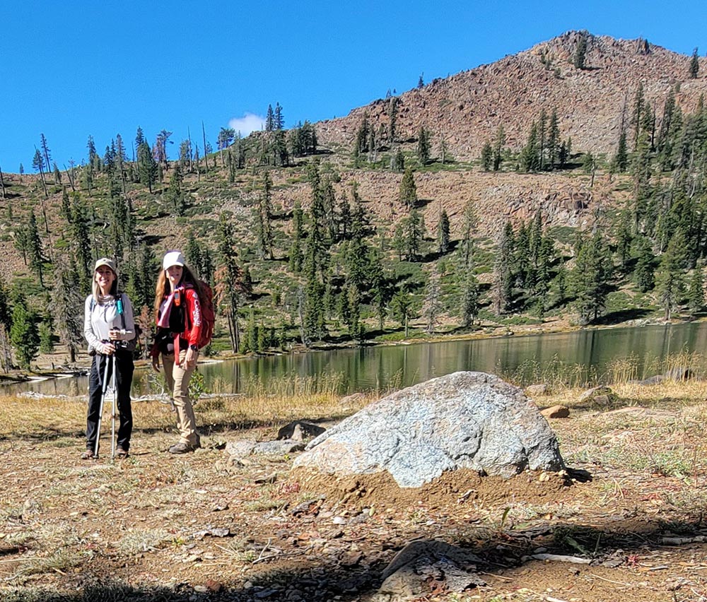
Upon arriving at the overlook to Bull Lake, we could see Mt. Shasta with a fresh blanket of snow and Mount Eddy still bare. We made our way down to the Lake and had a nice relaxing lunch. As we explored the shoreline, we could see that there was a new sign saying that Bull Lake is at 6,868 feet of elevation.
We headed back to the car and both felt we had perfect weather and it was a great day for hiking!
Hike Leader: Francie
Photos By: Francie