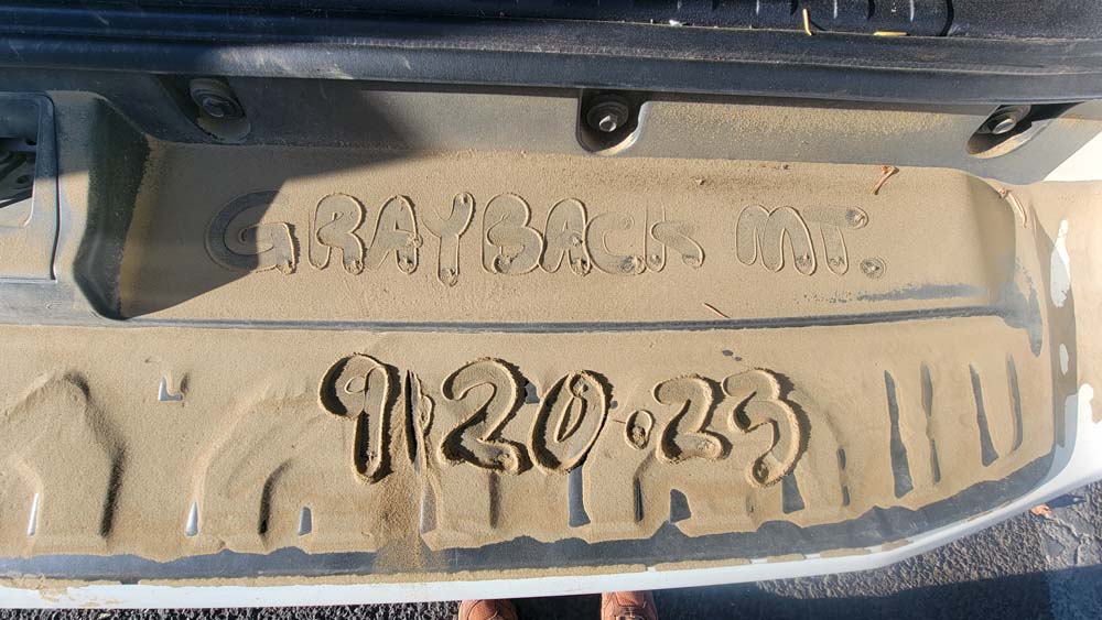
Grayback Mountain
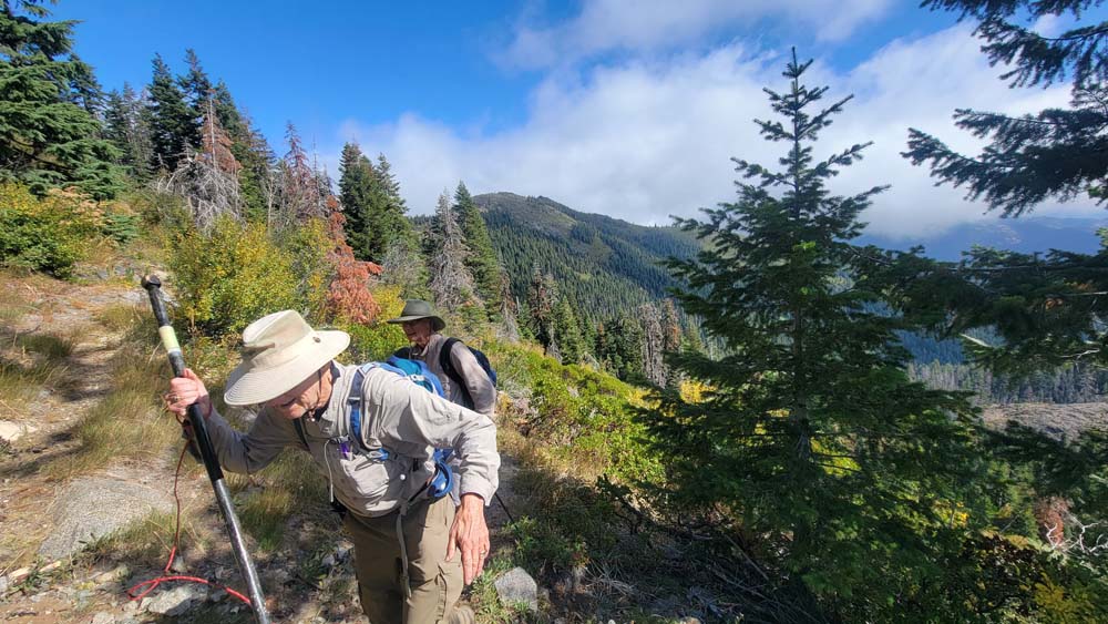
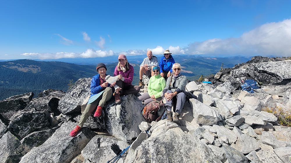
On Wednesday September 20th six hikers drove to the upper O’Brien trailhead to hike Grayback Mountain elevation 7,048′, the tallest peak in Josephine County. We had a new hiker to our group named Michael H. from Texas. The grade of the trail goes up right from the beginning of the hike. We had multiple stops for wardrobe adjustments in the 1st mile.
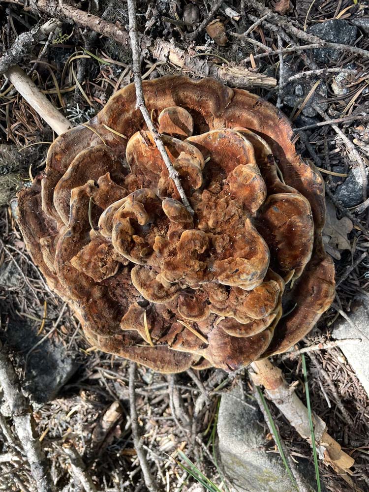
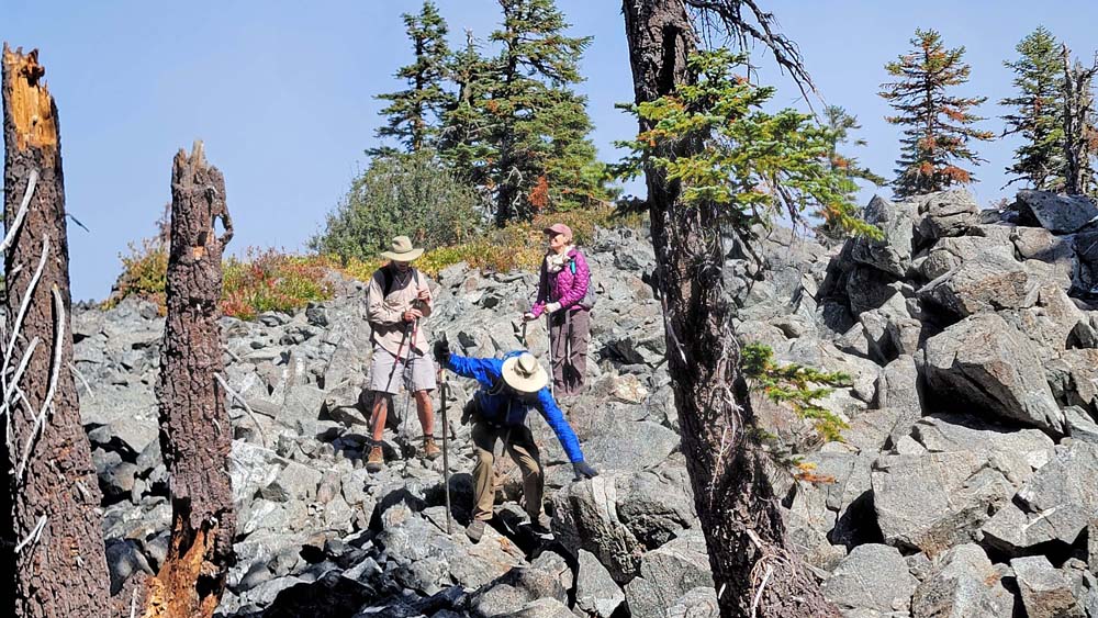
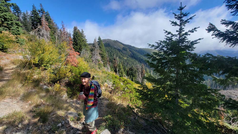
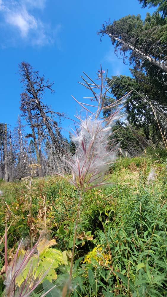
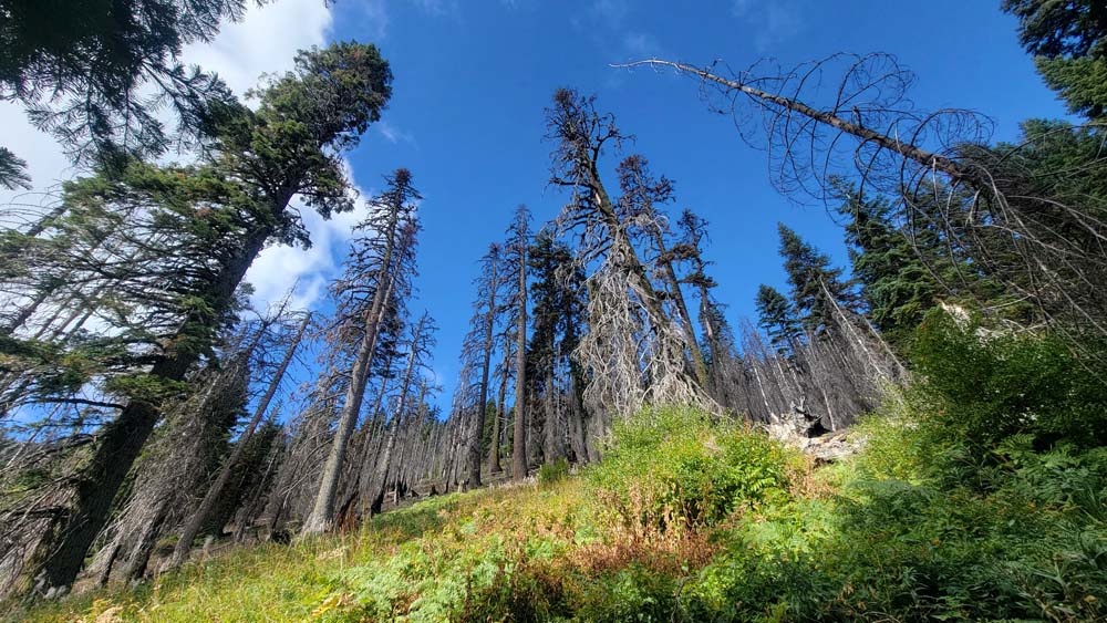
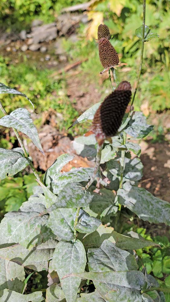
As we went up higher, we went through the burn area. On doing research, this is what I found: “The Creedence Fire began with a strike of lightning on August 14, 2017 and burned in the back-country surrounding Grayback Mountain and the Kangaroo Roadless Area. Two fires were ignited, one on the lower slope of Bigelow Creek, and another high on the ridge near O’Brien Creek Meadows in the Grayback Mountain Botanical Area, at the headwaters of Carberry Creek. The two fires later merged to become the Creedence Fire, the westernmost fire in the Miller Complex… burning 2,093 acres.’ [1] We could see fireweed with thin pods that split, releasing silky white fluff with tiny seeds attached.
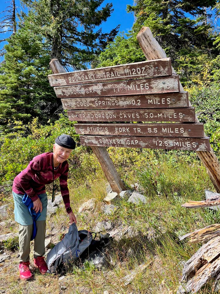
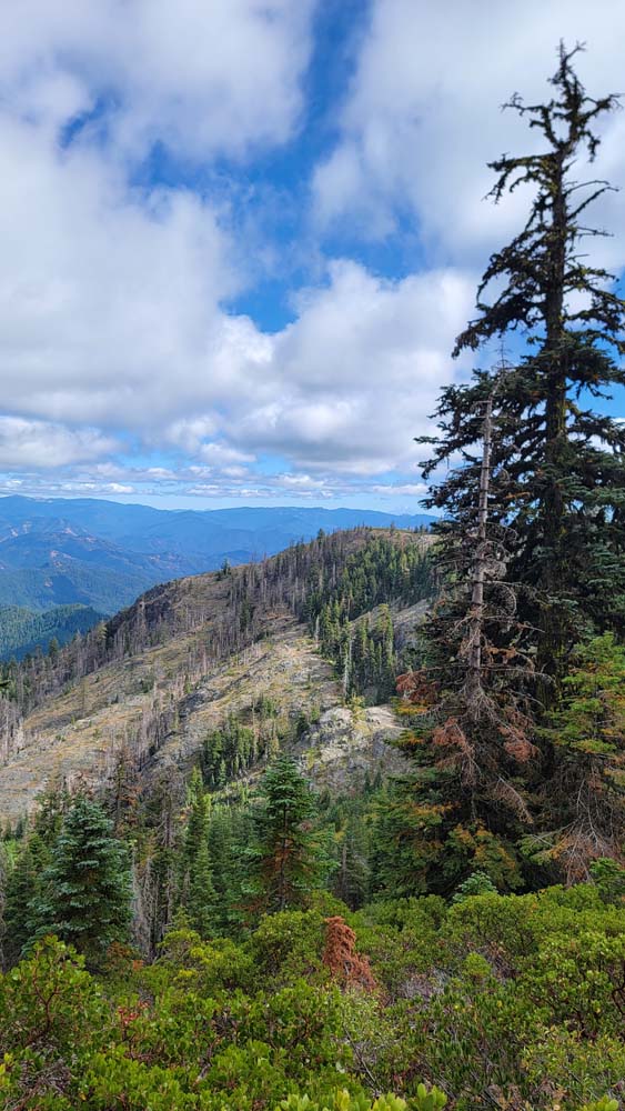
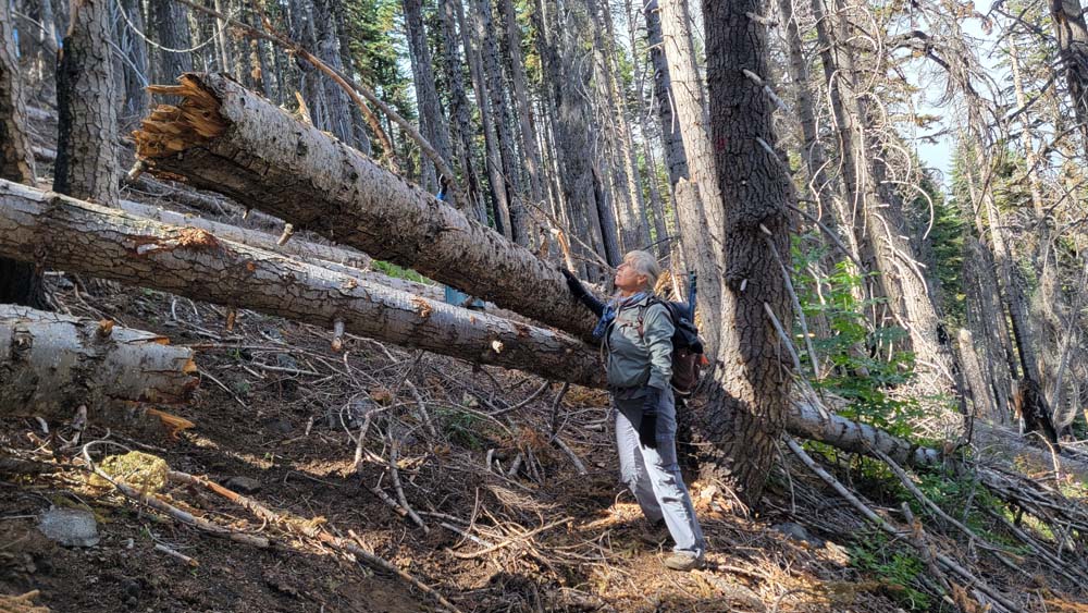
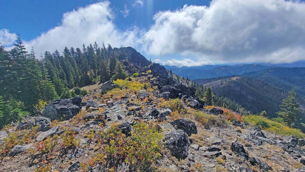
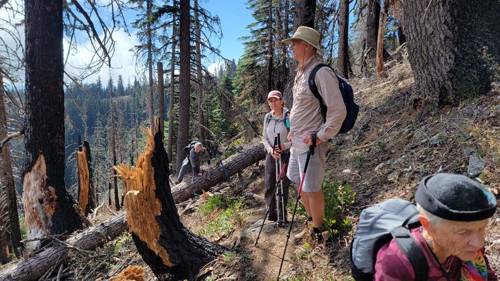
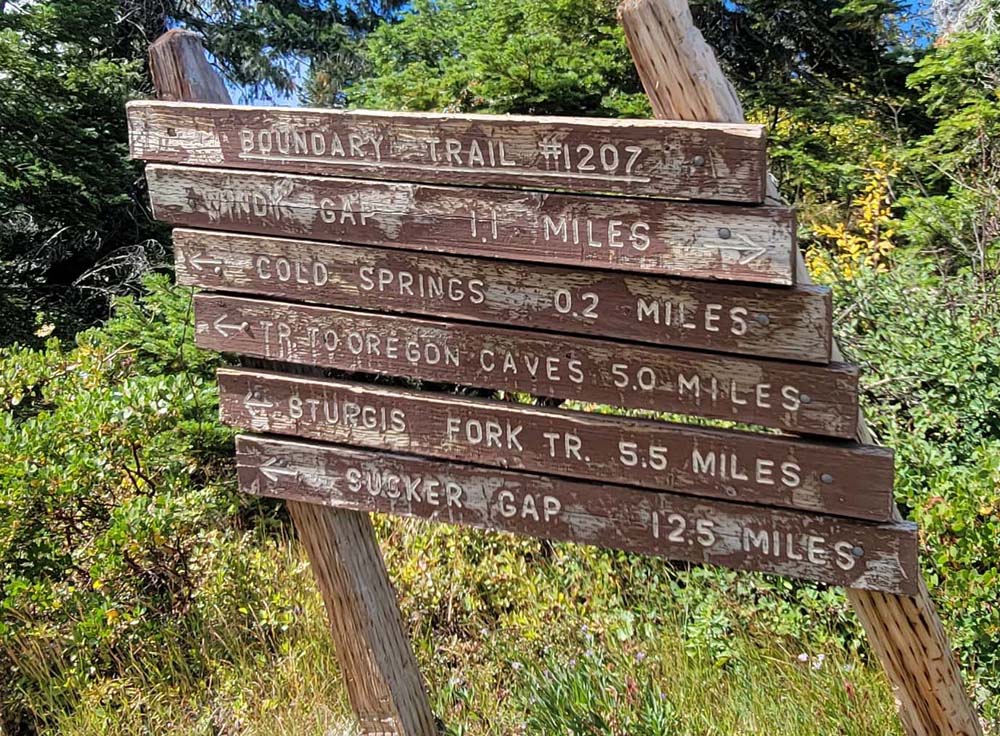
We continued up and made our way up to the Boundary Trail #1207. From there we went right towards Windy Gap and could see that trail maintenance had not been done on the rest of the trail. We made our way over, under and around downed trees.
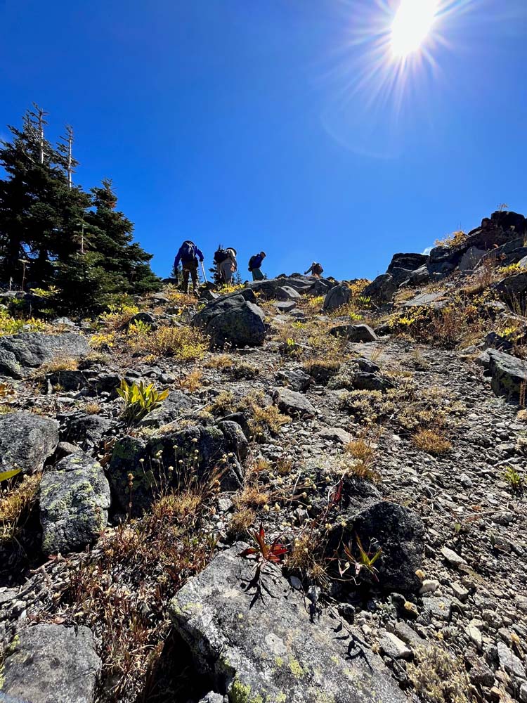
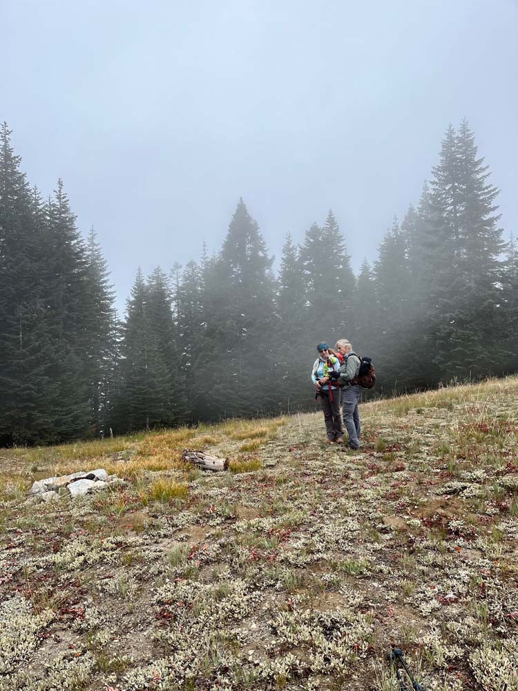
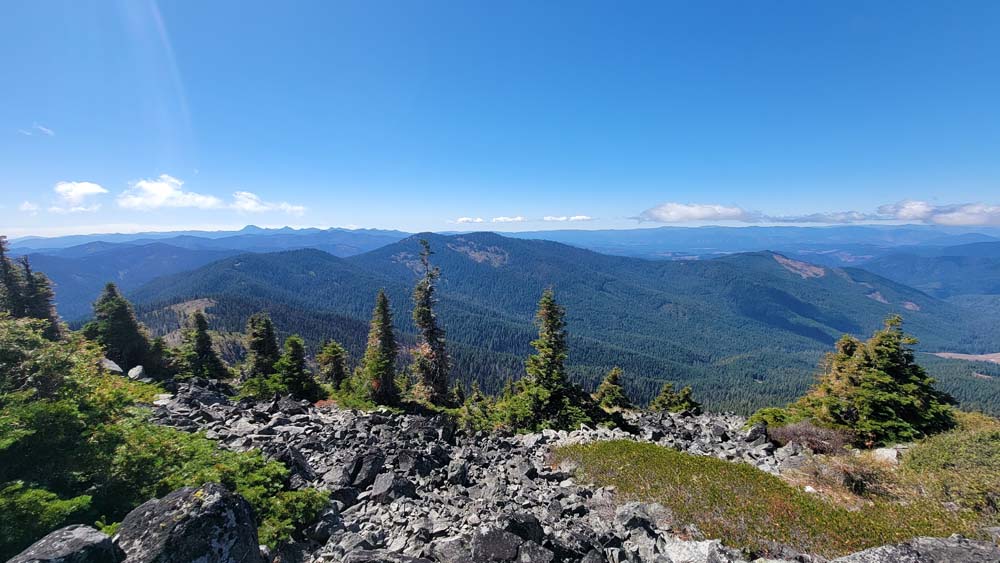
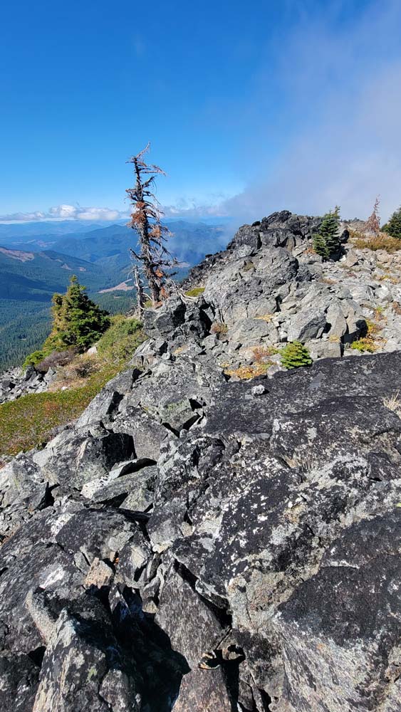
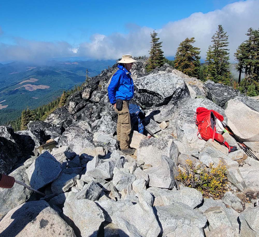
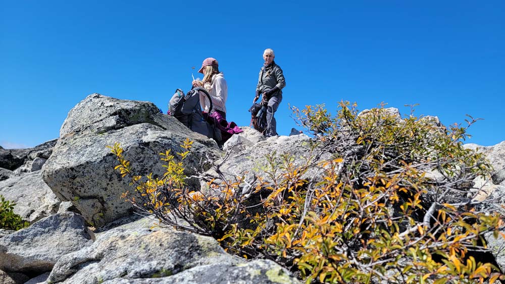
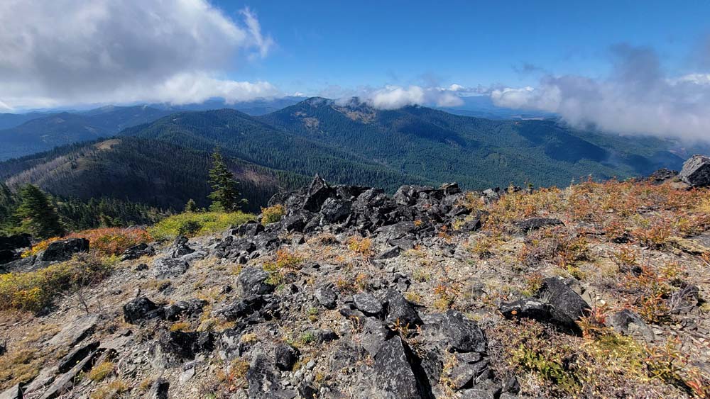
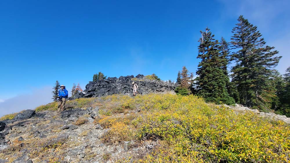
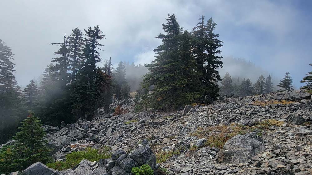
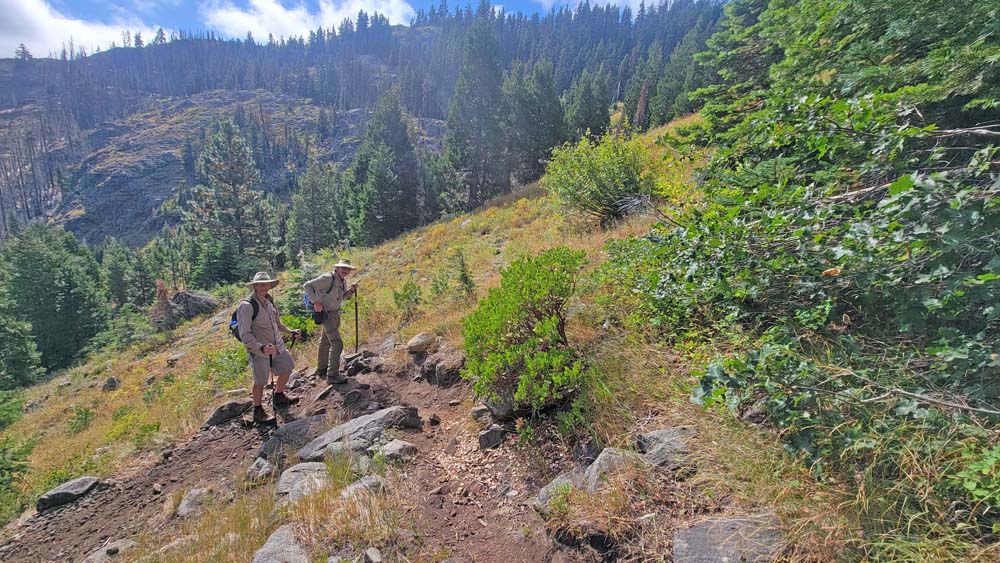
After reaching Windy Gap, we had a short break because there was no longer a set trail and we would be making our way up to the ridge line. The clouds were low and passing right over us so I thought we would not have a good view. We climbed up and over rocks to a few false summits and finally reached the top and the low clouds had passed.
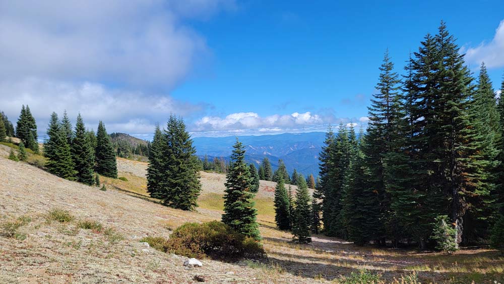
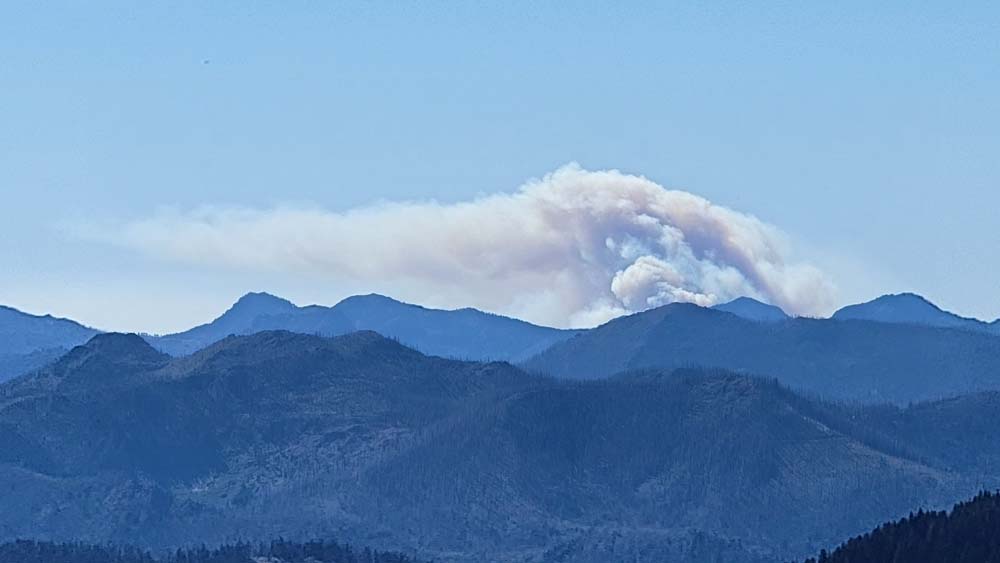
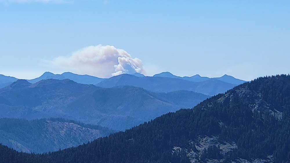
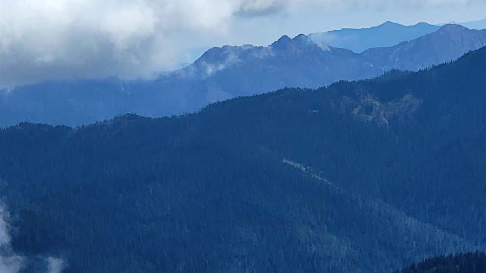
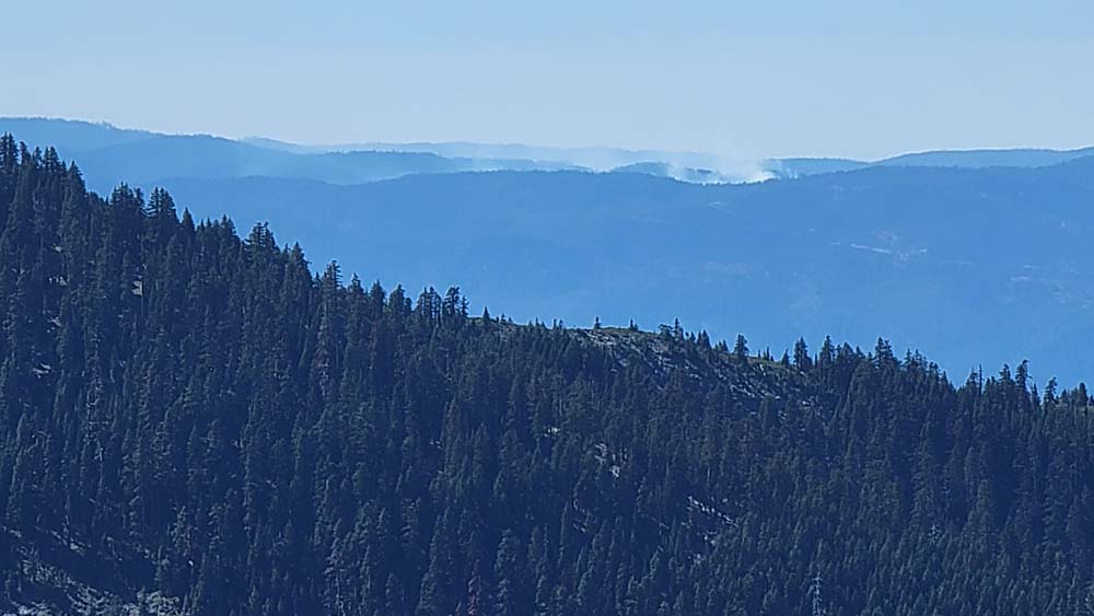
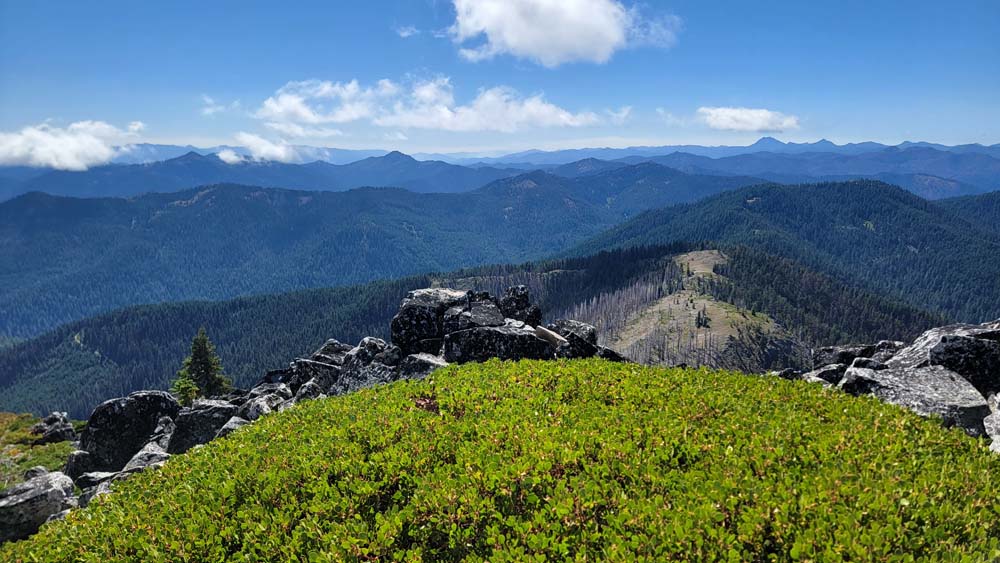
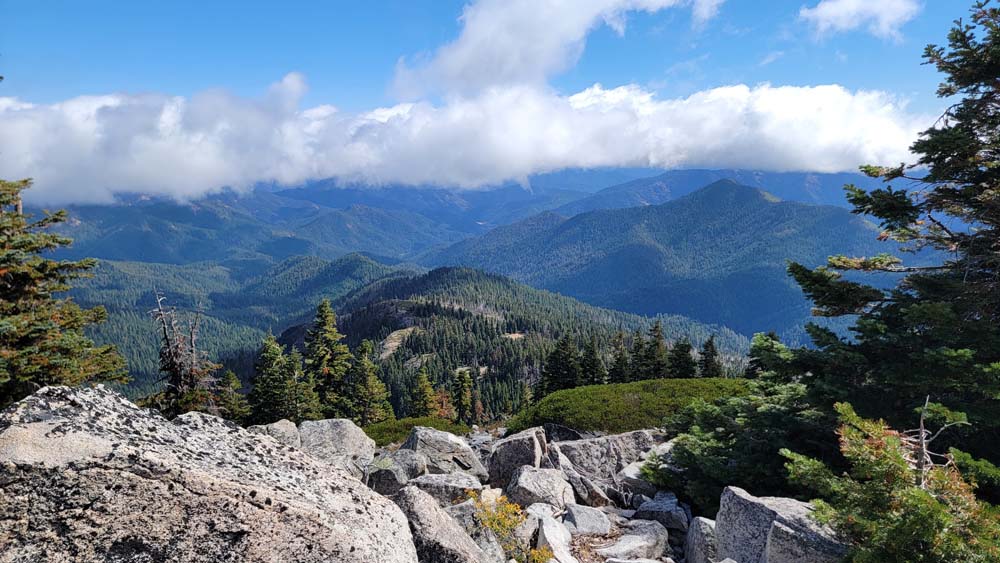
We had our lunch and could see views of Preston Peak, The Red Buttes, Big Sugarloaf to name a few. As we started to descend, I could see a little bit of smoke from a fire. After moving along the ridgeline, we could really see a large cloud of smoke that we could not see from the summit. It was in addition to the smaller bit of smoke we had seen. We assumed it was from the Smith River complex fire which was at 93,000 acres.
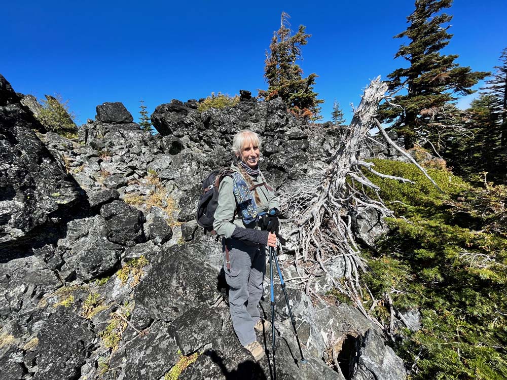
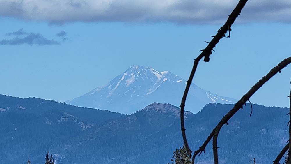
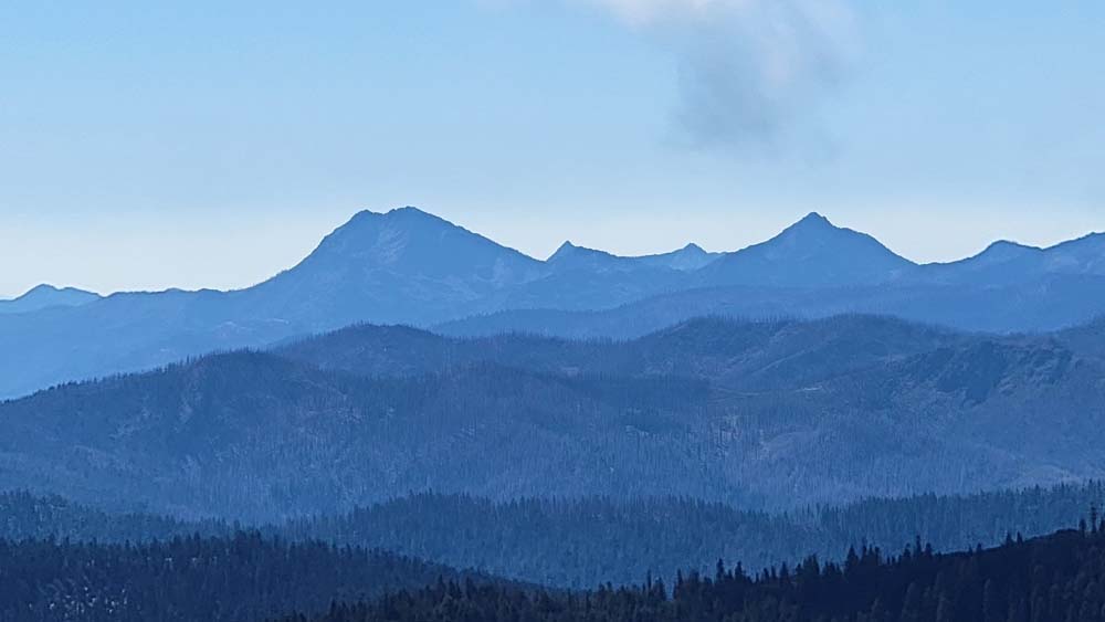
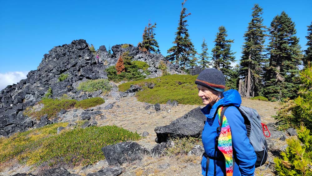
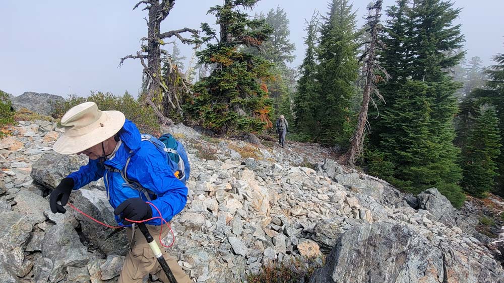
We decided to go down through the trees and rocks instead of staying on the ridge. Barb decided to mix the terms bushwhacking and climbing through rocks and say we were rockwhacking. The term seemed fitting. I believe this method cut off much of our time going downhill. As we continued down the trail, we could see Mount Shasta and the bottom of Mount McLoughlin because the top was covered with clouds.
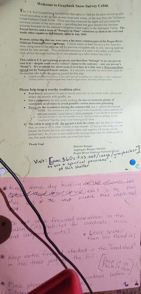
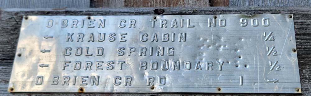
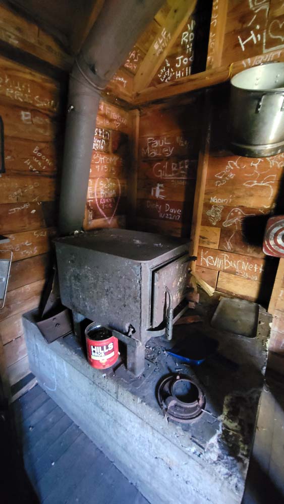
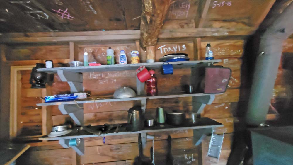
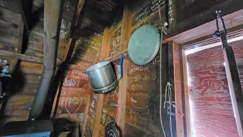
When we were most of the way down the trail, we took a side trip to the O’Brien Cabin. The U.S. Soil Conservation Service built this cabin in 1944 for the snow surveyors who would snowshoe or ski up here several times each winter, all the way from the Thompson Creek/Carberry Creek divide. While here they measured the depth and calculated the moisture content of the snow pack providing data that gave farmers and ranchers accurate forecasts for the summer’s irrigation supply in the Applegate Valley.
1. The Siskiyou Crest: 2017 Creedence Fire: The Smoke has cleared on Grayback Mountain
Hike Leader: Francie
Photos By: Francie, Leslie