Layton Mine Ditch – Southern Segment
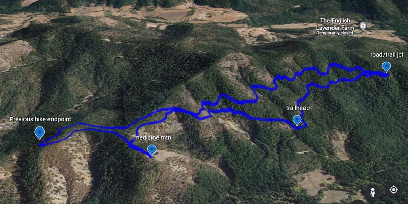
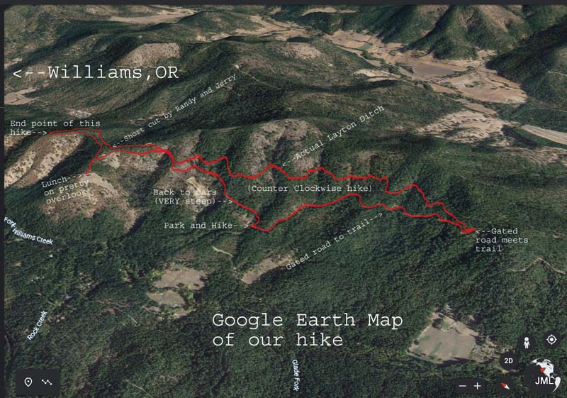
After a scouting exploration last Friday, we came up with the idea to split the last 7 miles of the Layton Trail above Williams into two out and back hikes.
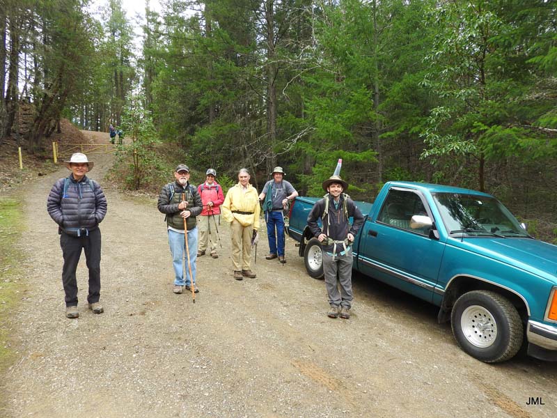
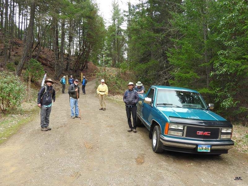
This part of the 21 mile Layton Ditch Trail system can be accessed by driving up a BLM Road when taking a left at the 4 mile marker off East Fork Road. Trucks parked up near the yellow gate and cars parked on a shoulder about 100 yards below.
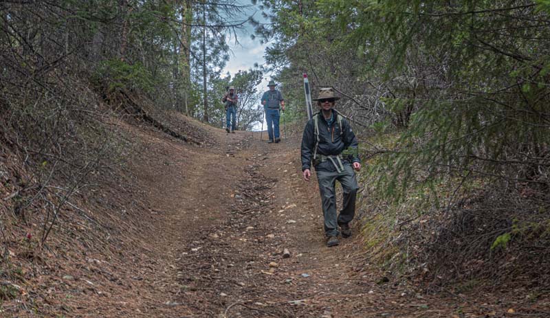
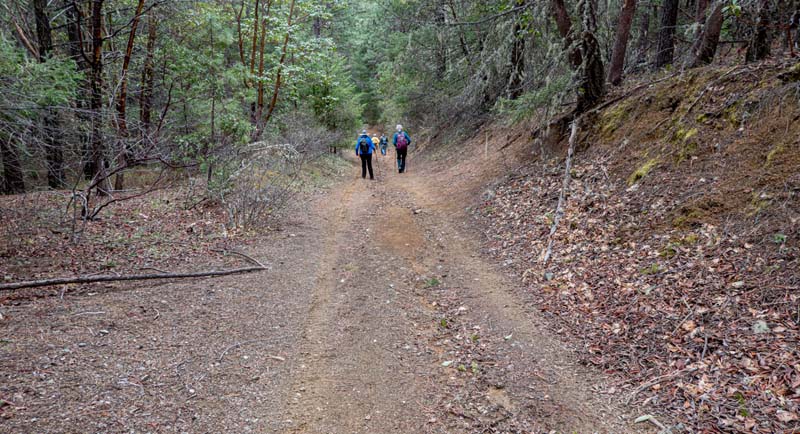
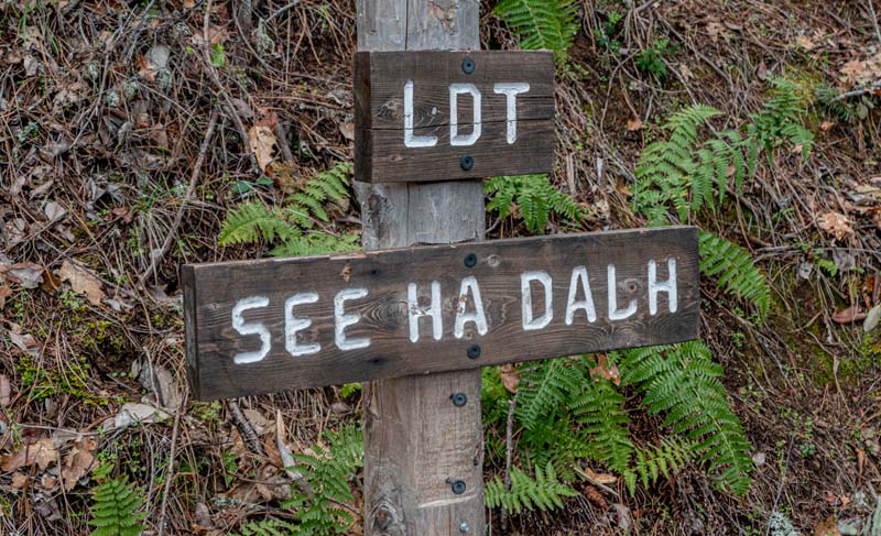
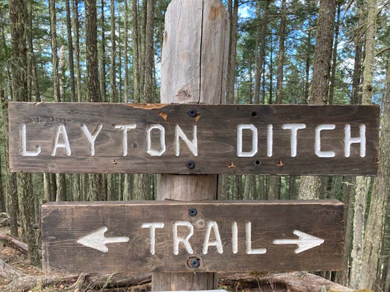
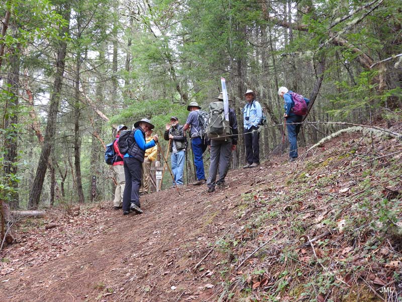
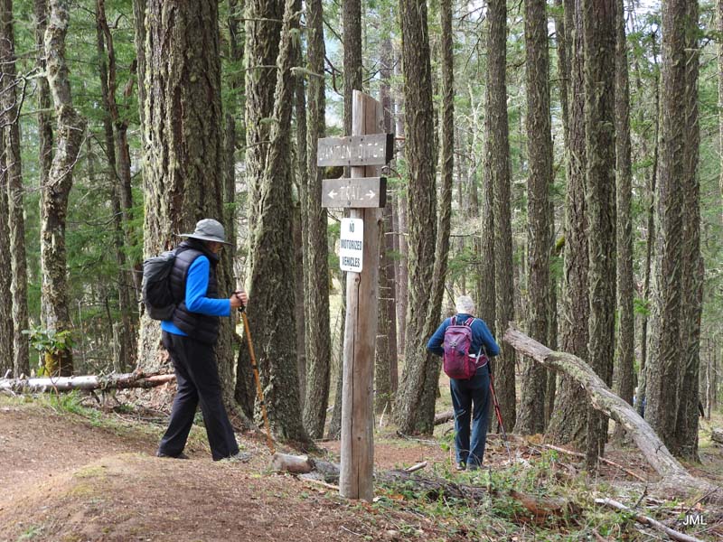
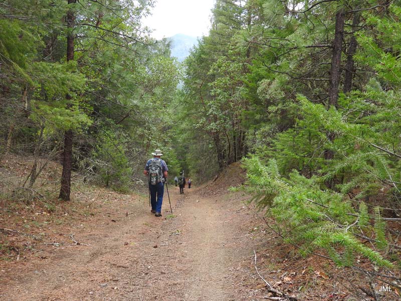
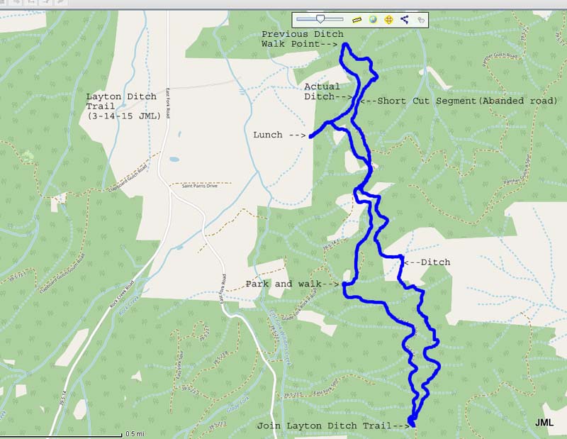
The hike starts by going around the locked gate and up a steady grade on an old road for about half a mile until you reach the Layton Ditch Trail sign on your left. The LDT has a few ups and downs but is mostly level next to the ditch.
Early Spring weather was mild with little wind and cloud cover that broke up to let in sun around lunchtime.
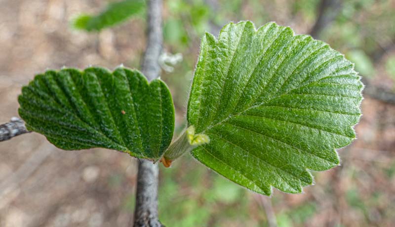
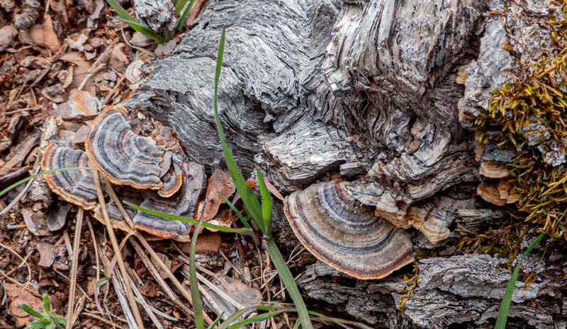
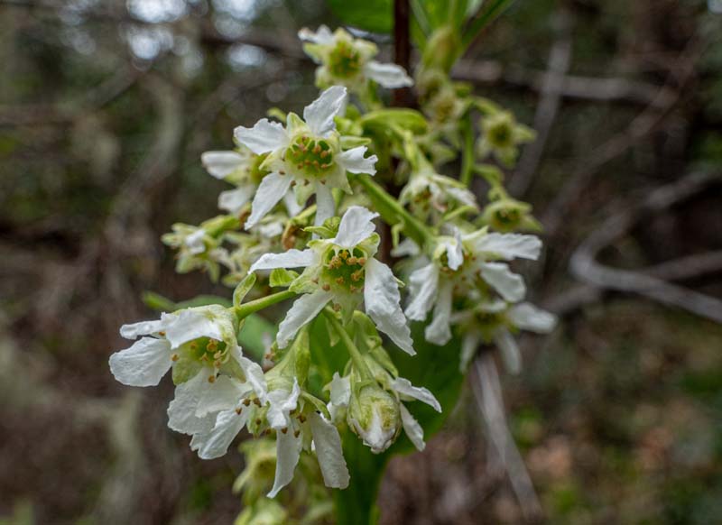
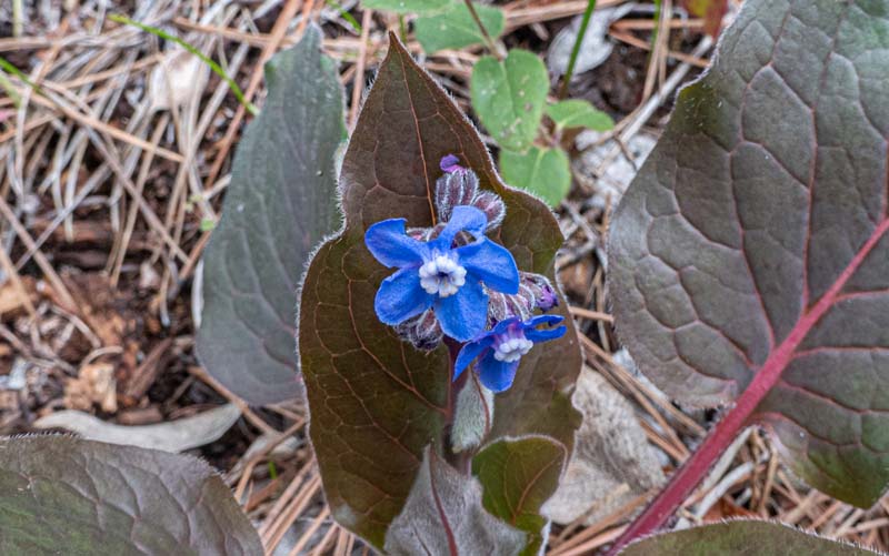
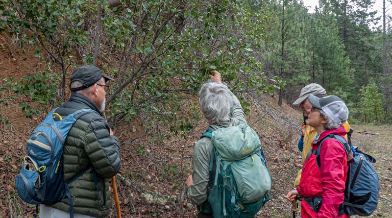
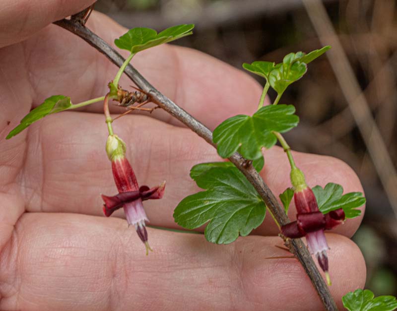
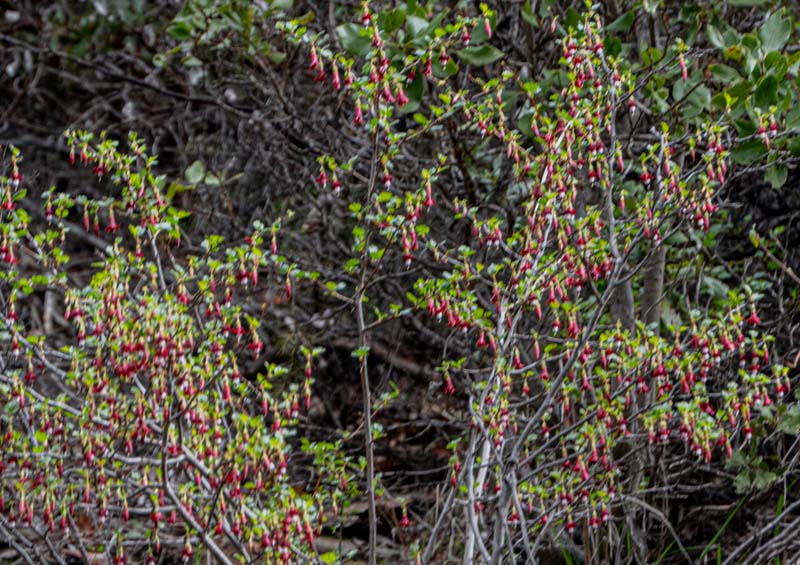
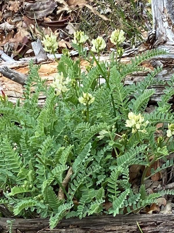
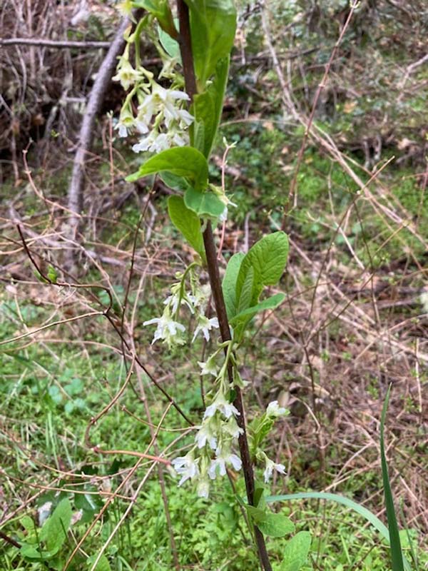
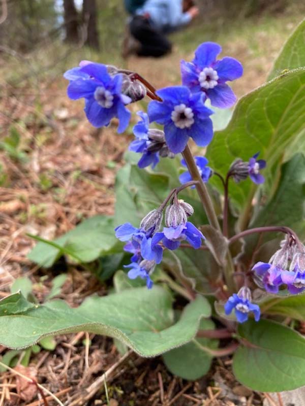
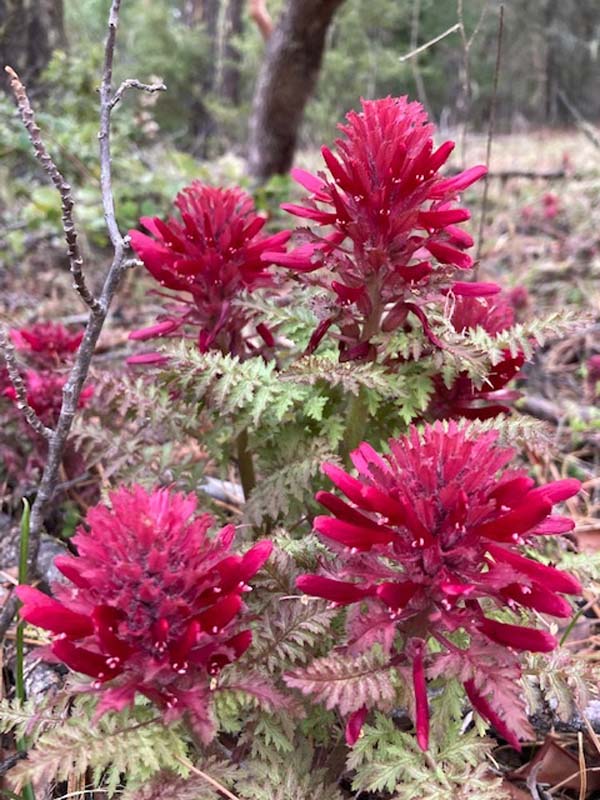
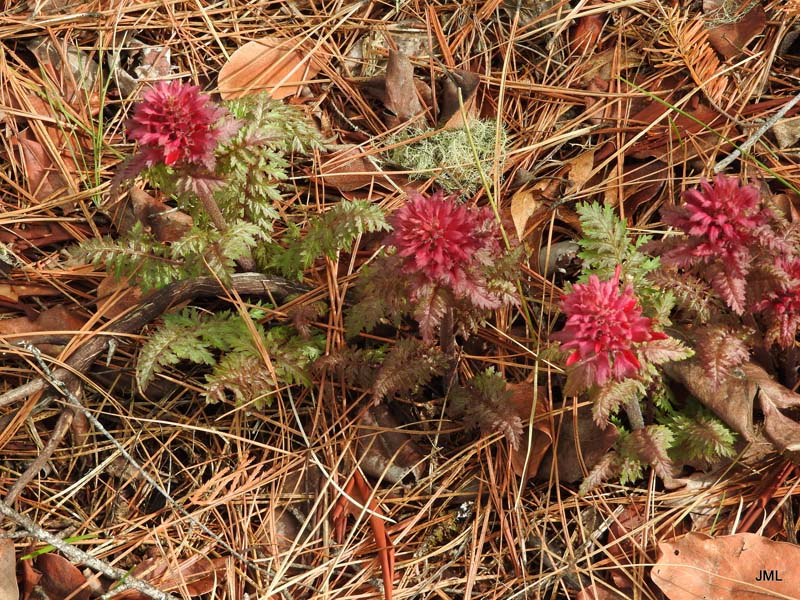
The old ditch has become a garden for early wildflowers. On Monday we saw: red Indian Warriors and red fuchsia-like Gooseberry, blue Hound’s Tongue, white Osoberry, white Rogue River milk Vetch and spiky leaf Oregon Grape.
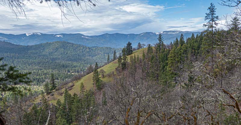
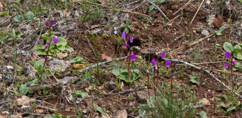
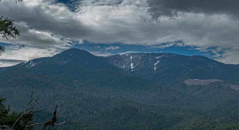
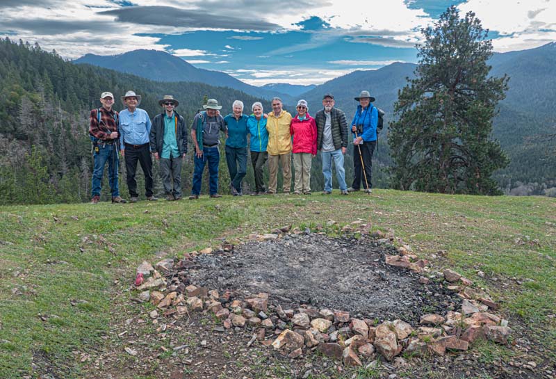
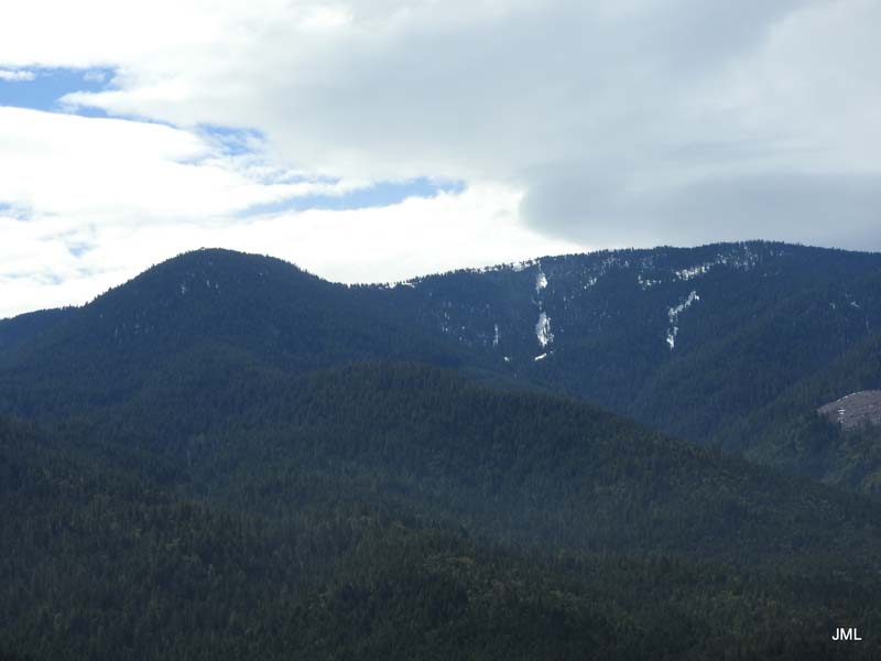
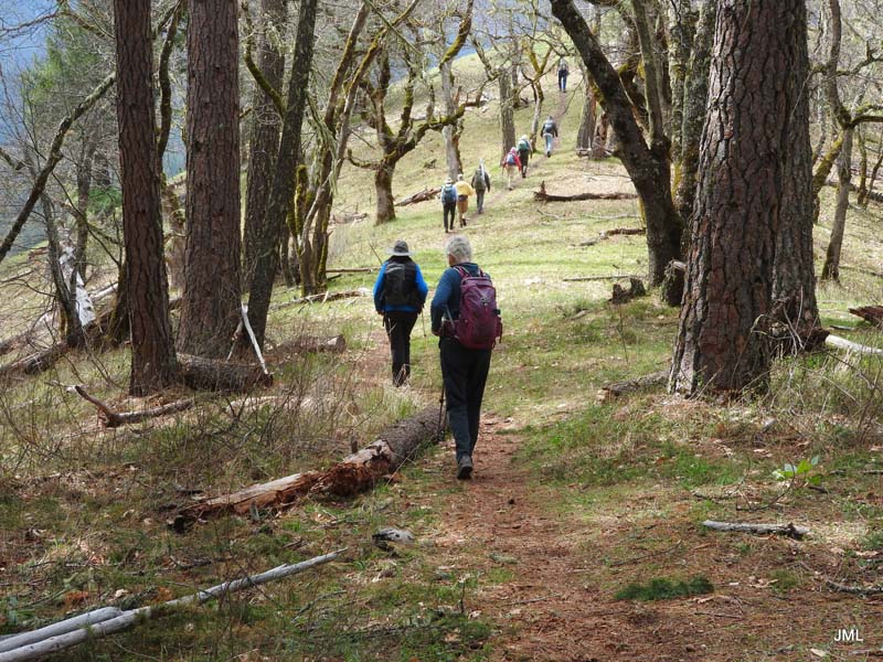
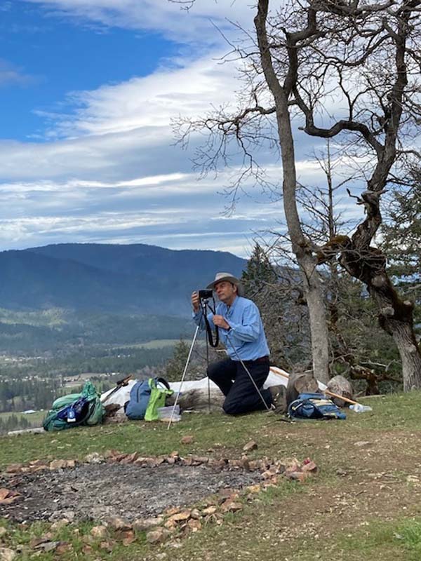
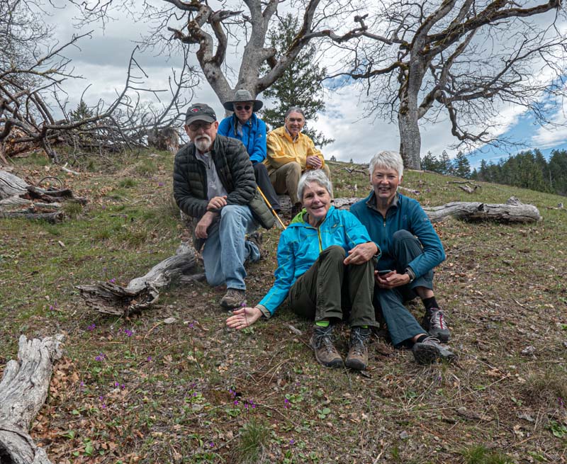
We followed the trail north until we came to our previous lunch spot from our January hike on the Lower Layton. Then we turned around to head to Monday’s lunch spot on top of scenic Medicine Mountain. The locals use this tranquil site to meditate, but our group of 10 were thrilled with the 360 degree views from the grassy hilltop and the abundant flowers growing on the hillside including hundreds of Shooting Stars, Buttercups, and blue & white mini Lupines.
On the way back, the LDT dropped us down a steep stretch of BLM that brought us quickly back to our cars. It was 5 miles RT on a beautiful Spring day.
Six of us stopped in Jacksonville for refreshments.
Happy Trails,
Rich
Hike Leader: Rich Stickle
Photos By: Patricia, Jerry, Randy