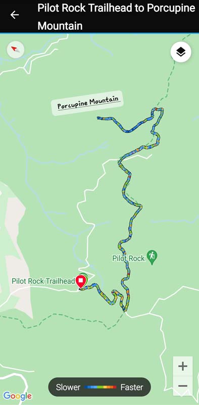
Pilot Rock Road to Porcupine Mountain
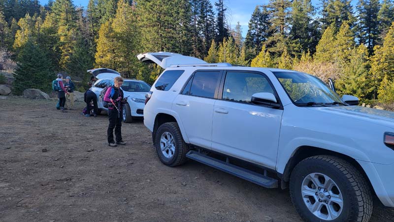
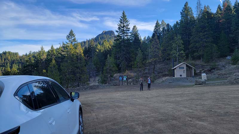
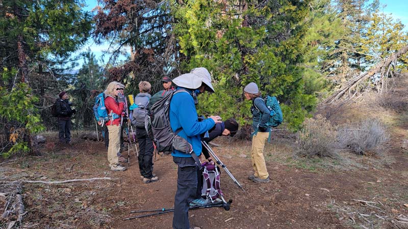
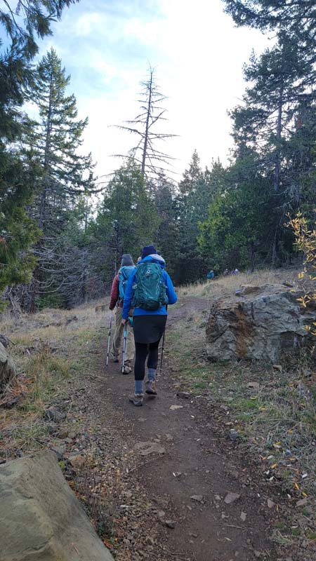
I had never done this hike before and we had a little confusion as to where to begin the hike. After discussion, we decided to hike from the Pilot Rock Trailhead. Everyone was willing to be flexible hiking until we felt we had a good distance since we were no longer starting at the original planned trailhead.
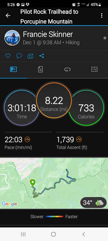
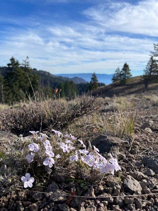
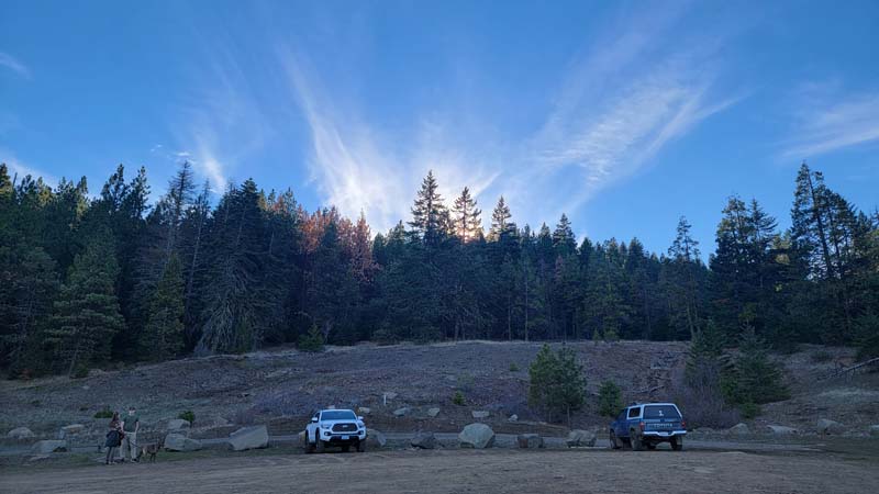
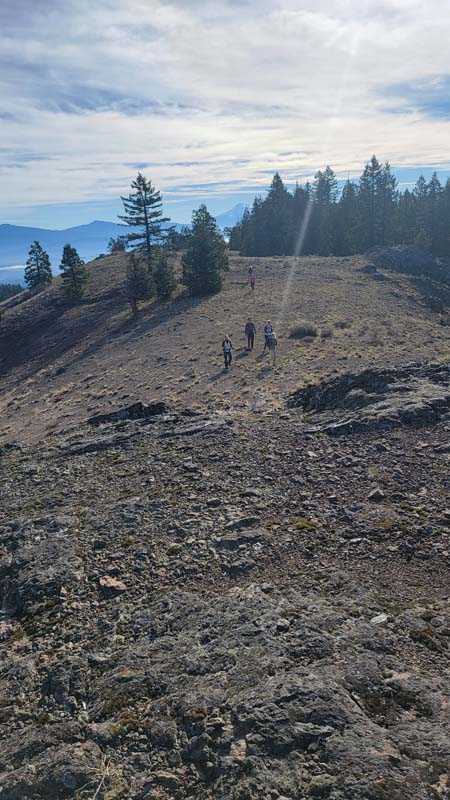
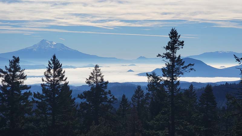
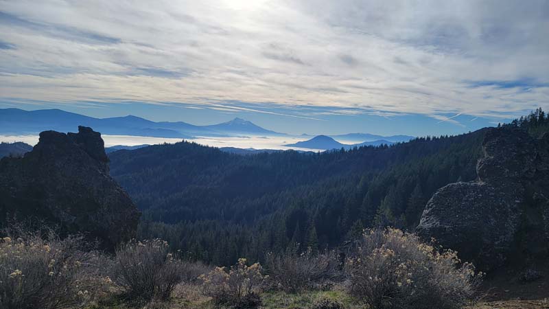
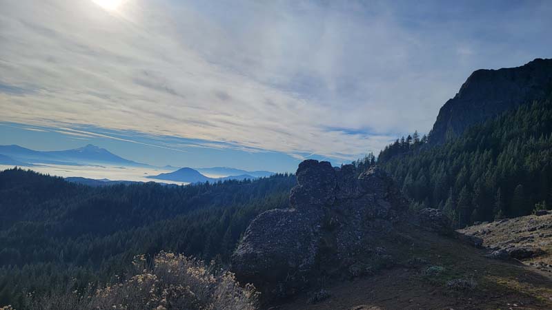
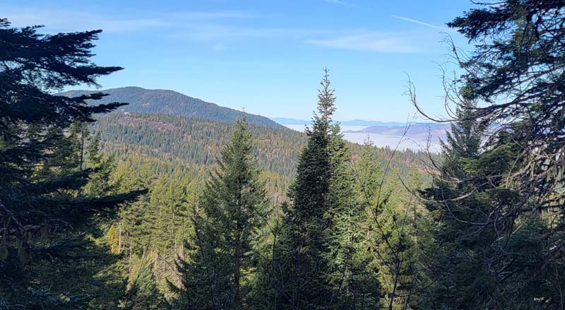
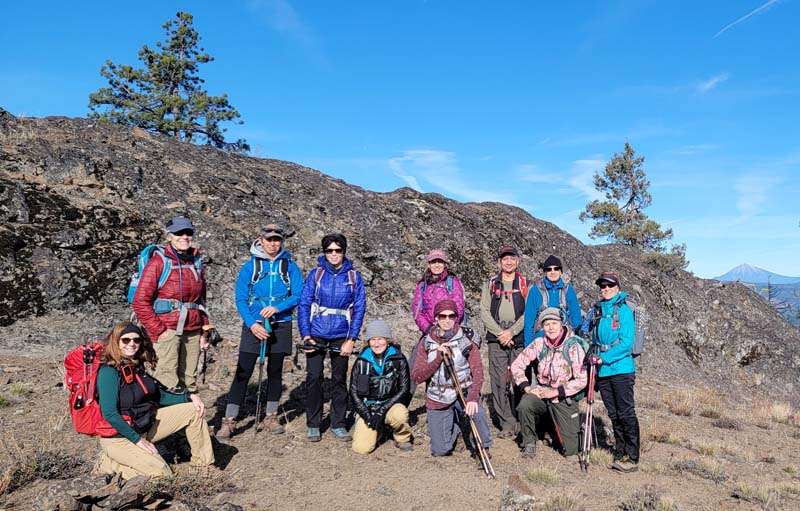
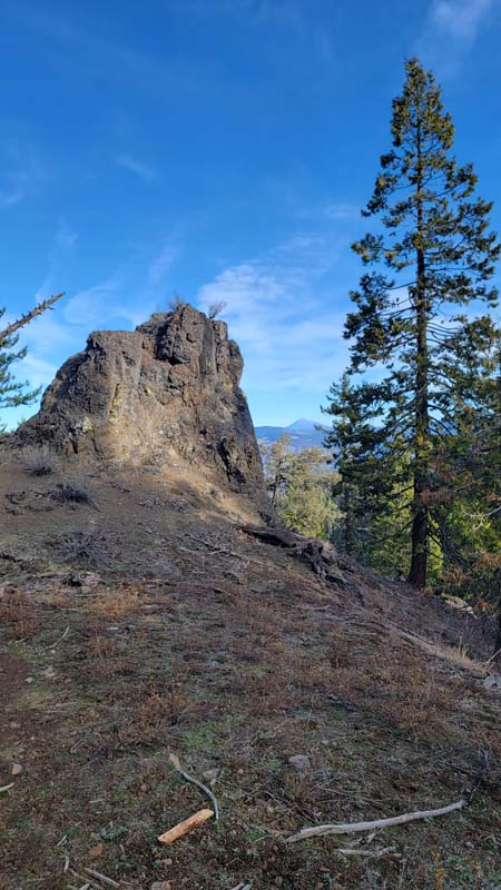
The weather was amazing with temperatures in the mid 50s to low 60s. Eleven of us hiked in the Soda Mountain Wilderness and Cascade-Siskiyou National Monument under blue skies and a breeze that was often warm. We stopped at a viewpoint looking at Pilot Rock, Mount Eddy, Black Butte and Mount Shasta. We then continued along the PCT until we reached the turn to Porcupine Mountain.
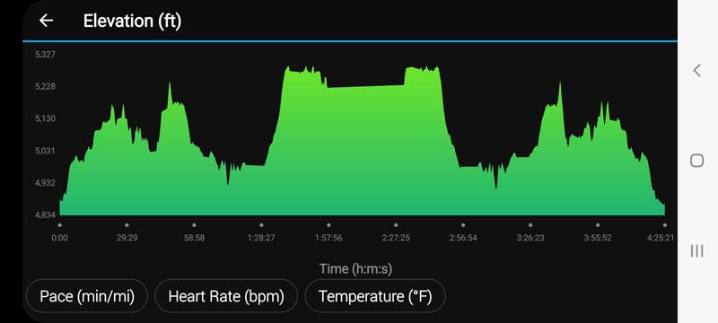
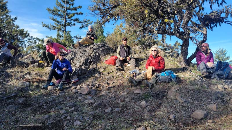
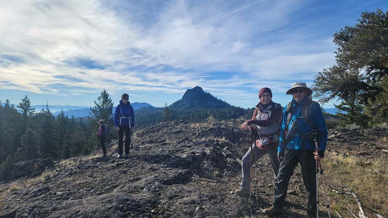
The trail is a little faint in places but we were able to find our way up the mountain. The top had a cool breeze so we found a place out of the wind to enjoy our lunch. Depending on where you looked, you could see Mount Ashland, Mount McLoughlin, Soda Mountain, and Boccard Point. Looking the other direction you could see all the mountains we had seen at the other viewpoint. We had gone just a little over 4 miles so we decided we wanted to return the way we had come and skip the road. We returned to our cars and it was just a little after 2 PM.
Hike Leader: Francie
Photos By: Francie, Nanci