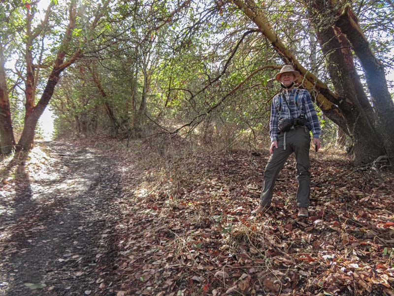
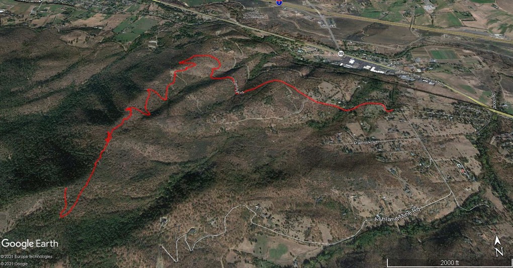
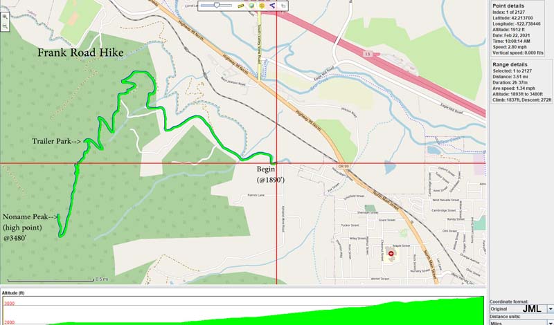
Frank Hill Road
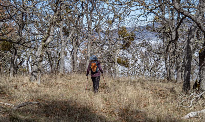
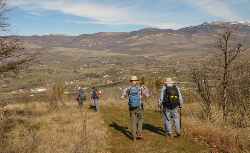
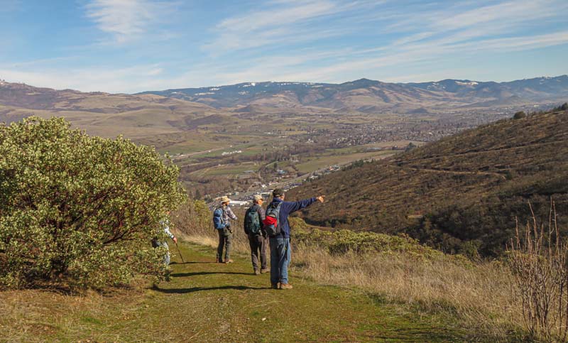
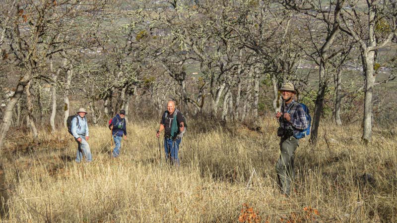
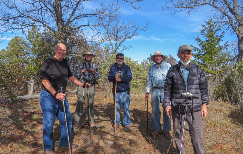
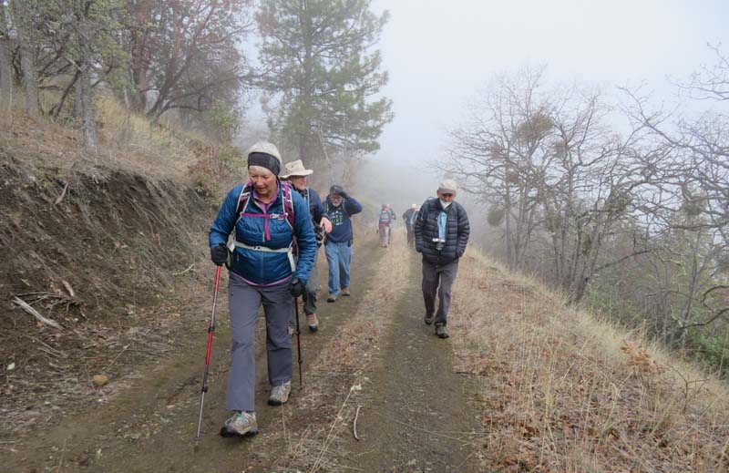
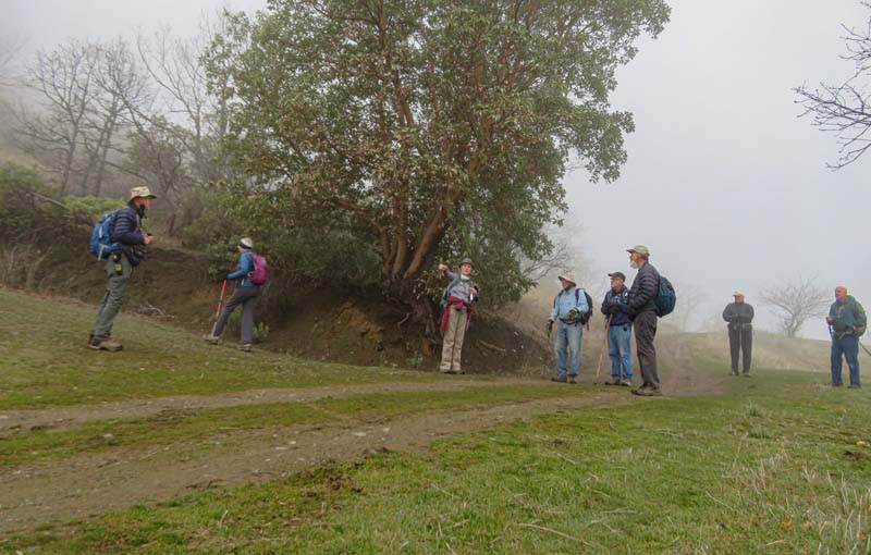
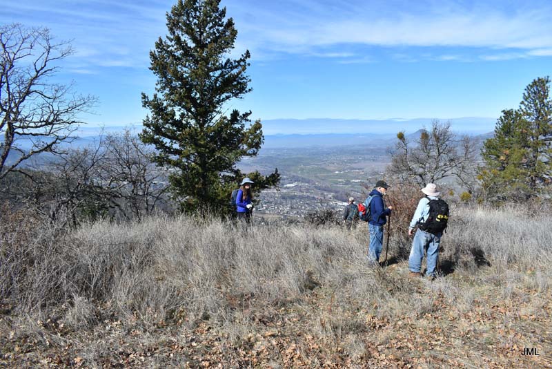
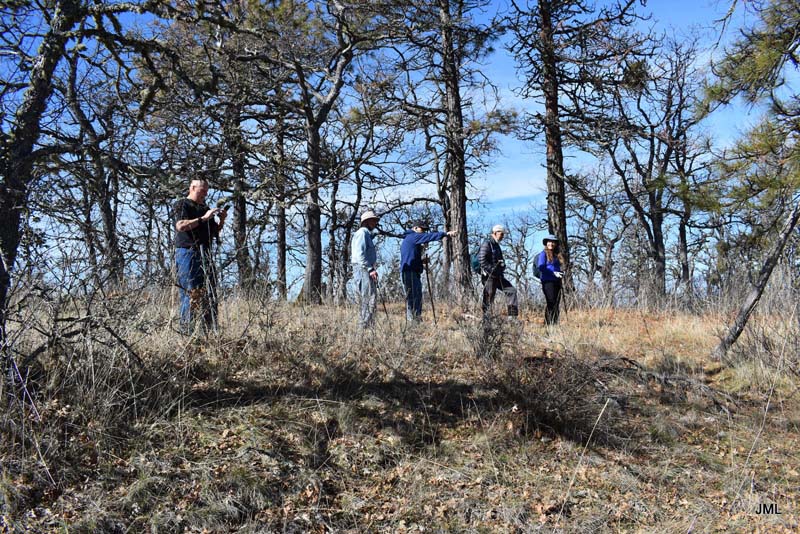
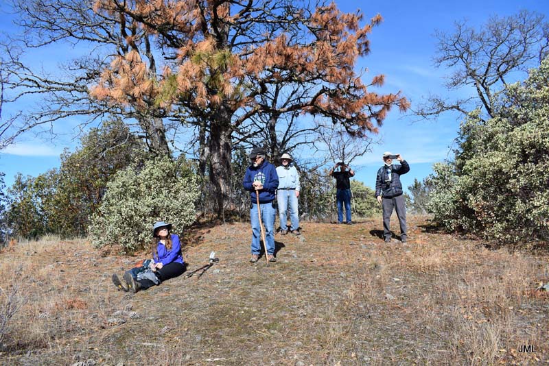
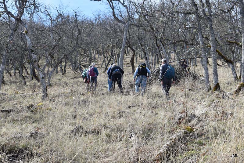
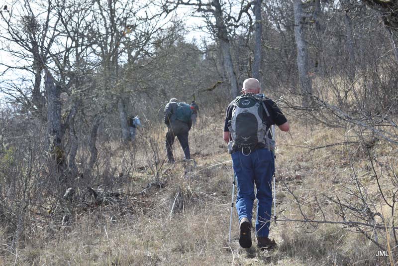
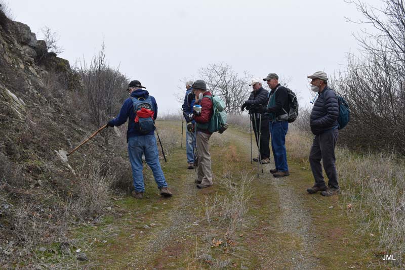
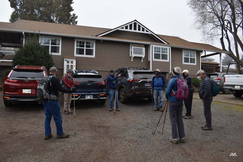
Eight revellors left over from Saturday’s party assembled at Liz/George’s house Monday for a walk/hike/slog up Frank Hill Road off Ashland Mine Road. Liz was sharing with the group her local hike that she used to get in shape for hikes through the Dolomites and Alps.
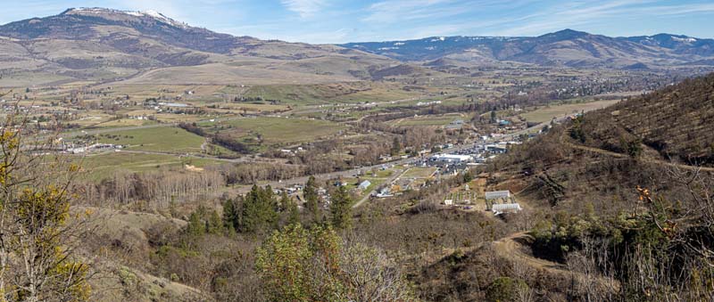
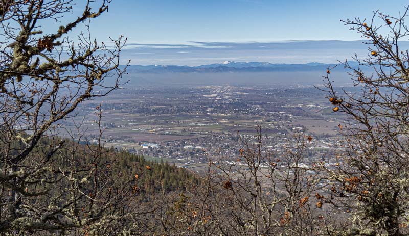
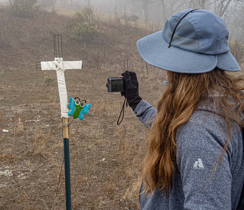
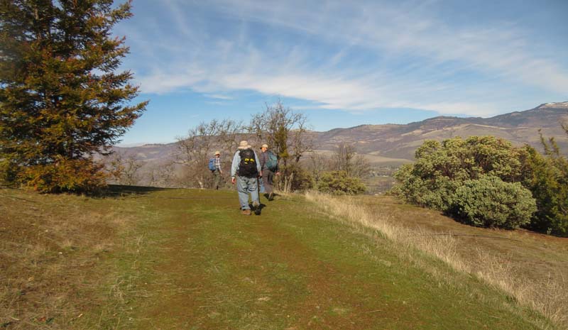
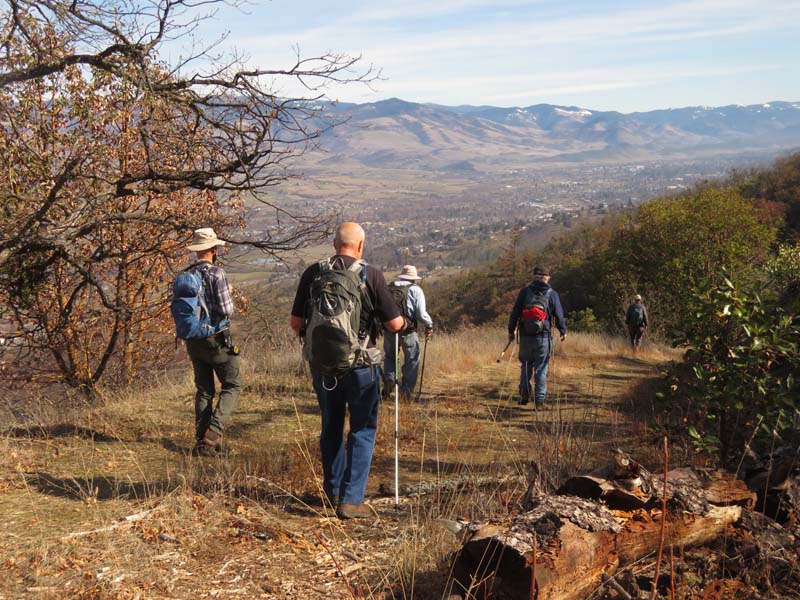
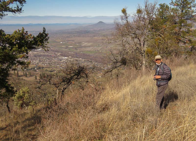
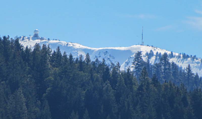
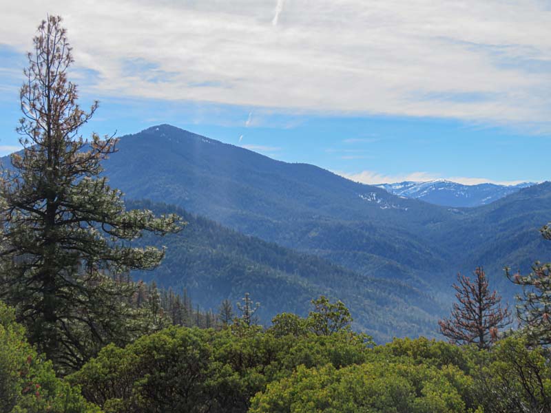
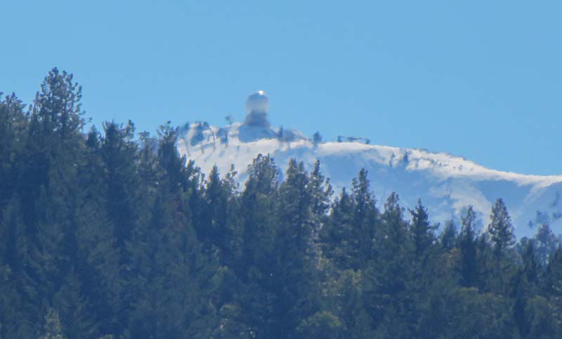
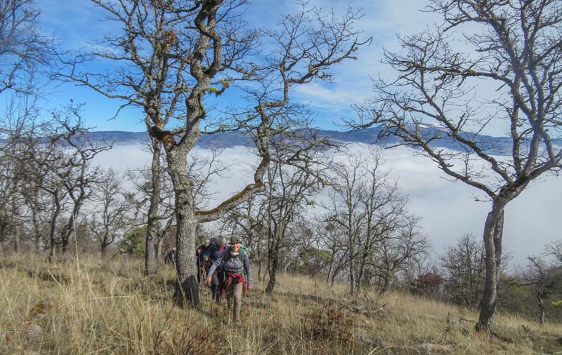
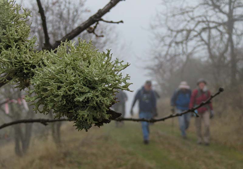
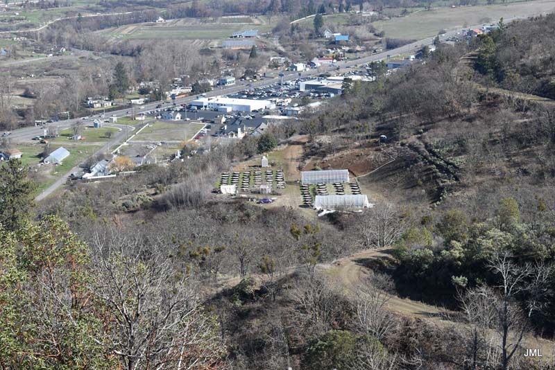
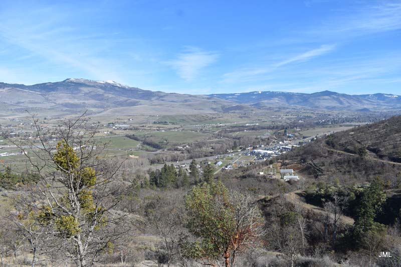
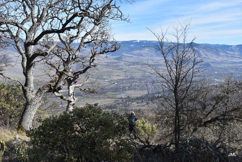
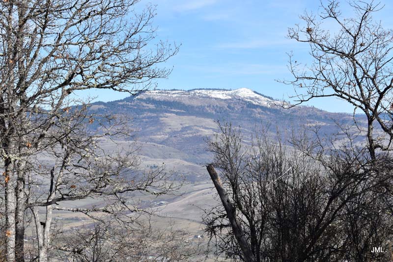
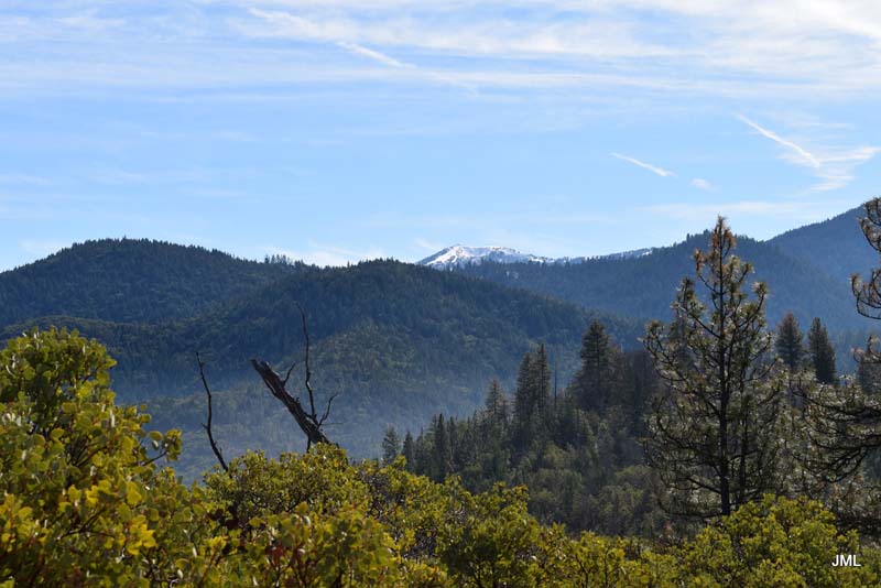
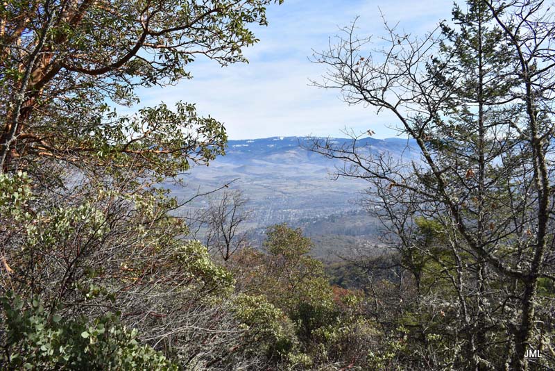
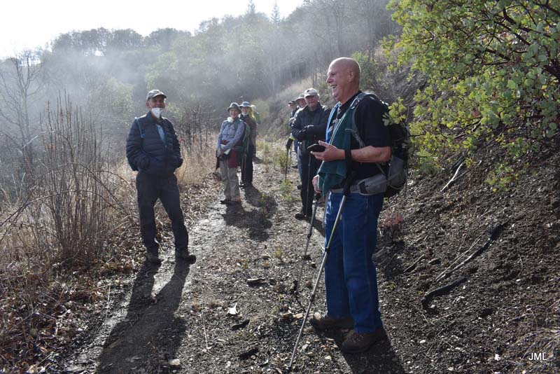
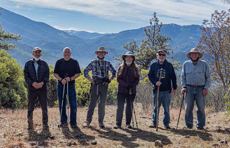
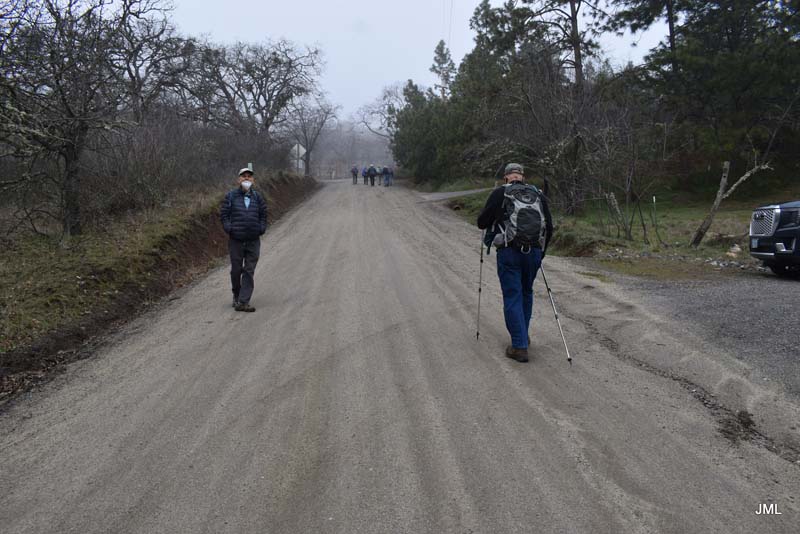
The day started off with thick fog that lingered until lunch time but finally did burn off to reveal great views down into the valley. Our bundled hikers were also rewarded with afternoon sun and temps of 55+ degrees.
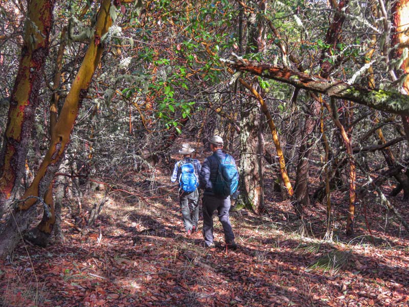
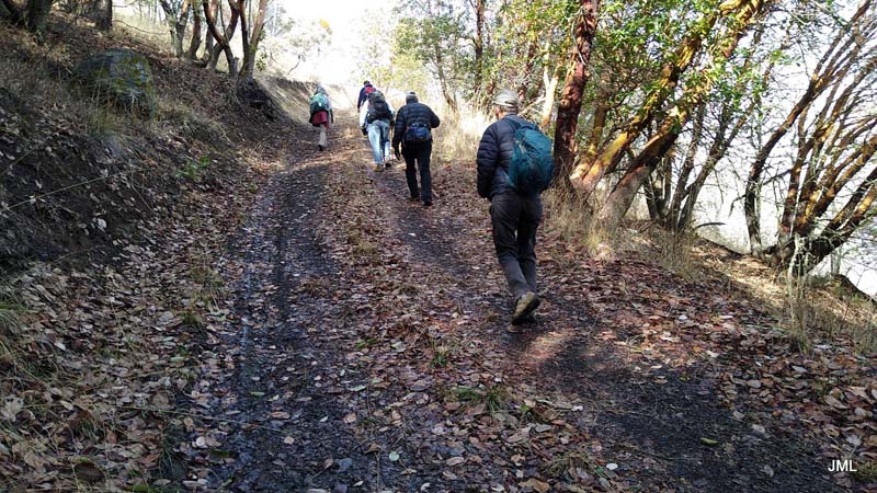
This new hike starts on a paved road but eventually narrows down to animal tracks as you rise into the hills above Ashland. The steady climb can be taken in sections with stops for wardrobe adjustments, water and just to catch your breath.
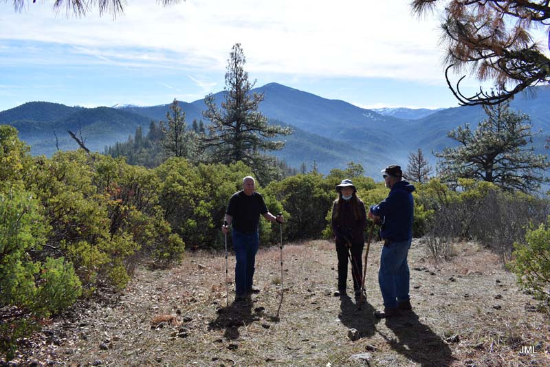
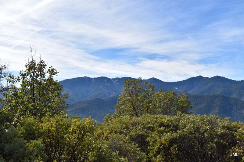
We started the hike at elevation 1,890′ and five of us went to a previously unnamed peak which we can call Frank Hill summit at 3,480′. A gain of 1,590′ and seven miles roundtrip.
With everyone feeling good about this new accomplishment we celebrated with beers and chips on Liz’s deck post hike.
Hike Leader: Rich Stickle
Photos By: Jerry, Linda